
Fossil Mountain 6729′
Total Time: 1:15
Roundtrip Mileage: 2.0
Elevation Gain: 800′
Crux: Class 2
Trailhead: Havasupai point, no services
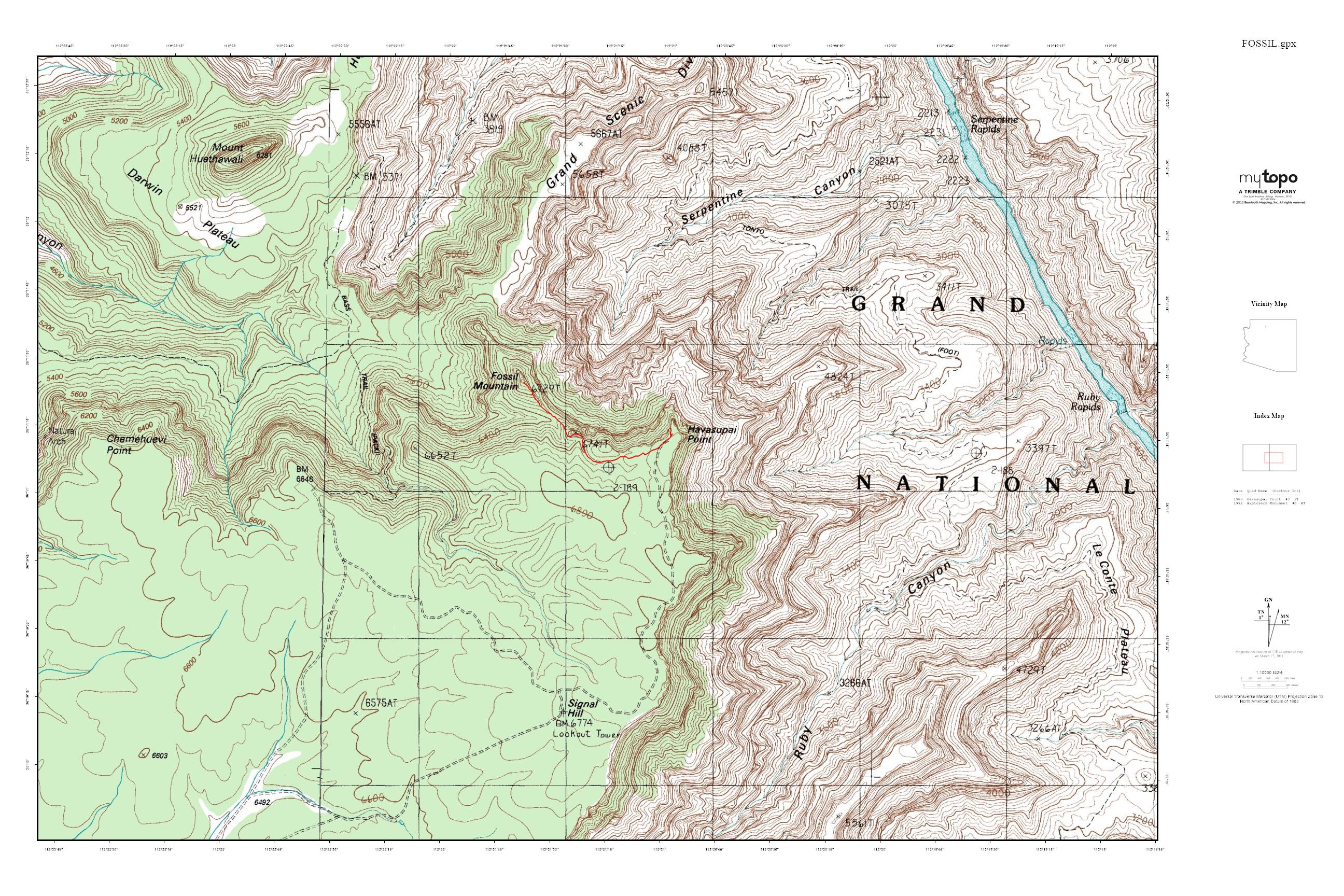
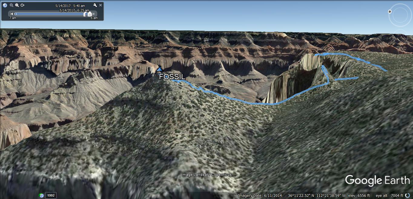
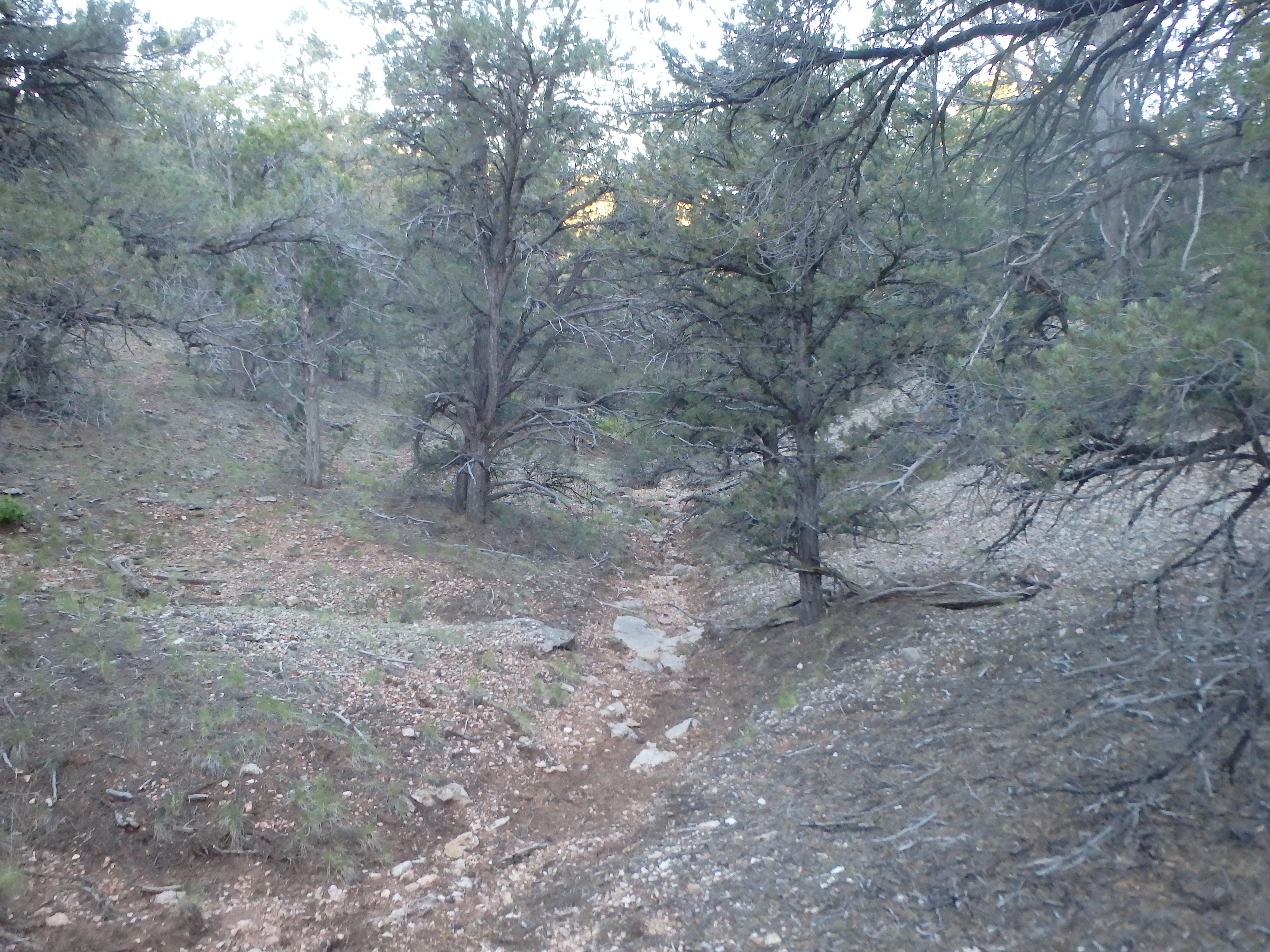
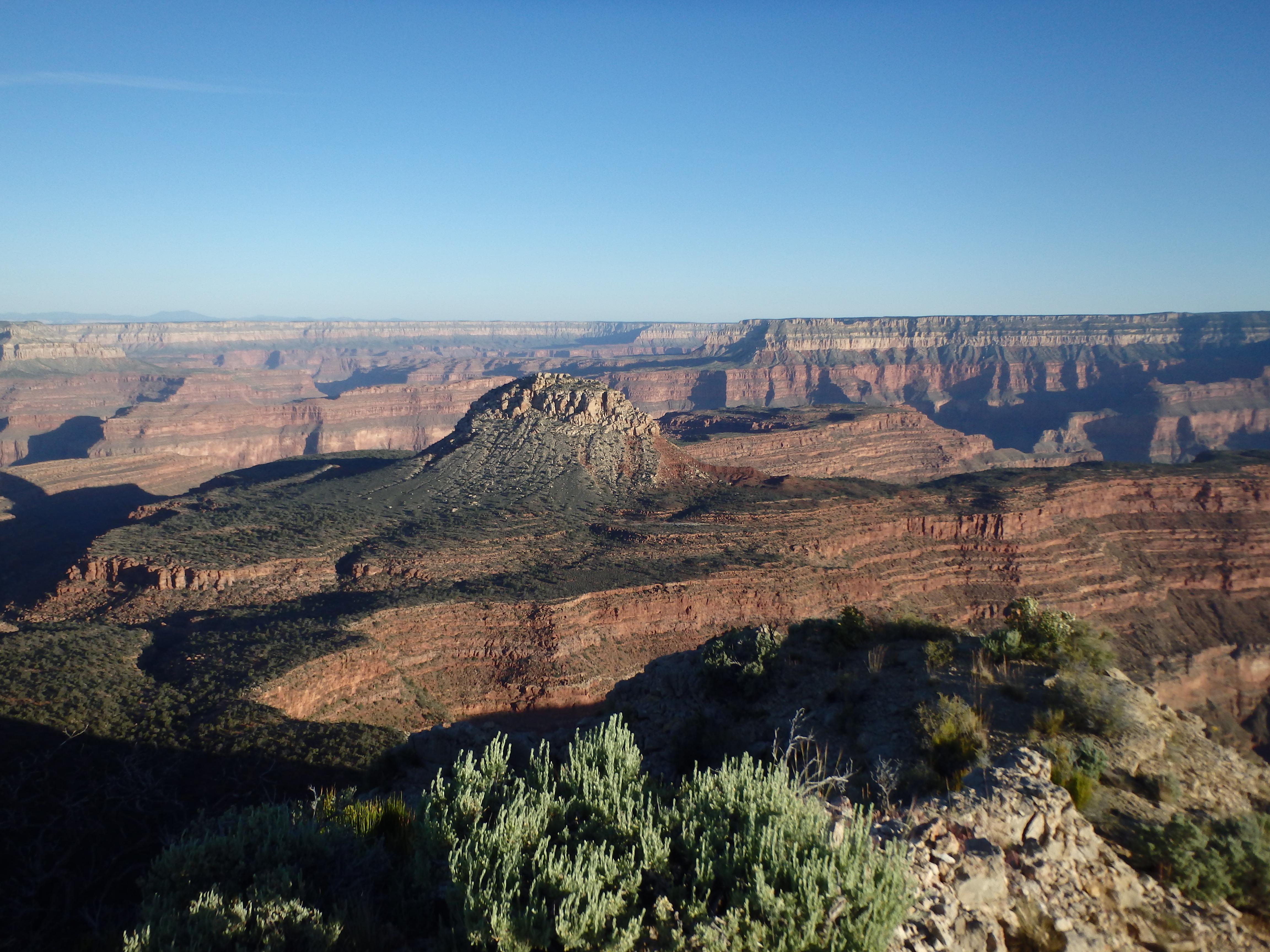
Fossil Mountain may be the easiest Grand Canyon summit on the south rim. With only a mile of cross country, a couple hundred feet of elevation gain, and essentially no scrambling, the easy combination of Fossil Mountain and the harder but still easy Mount Huethawali off the South Bass Trail make for an easy Grand Canyon summit starter pack, with the hardest part of both summits just getting to the trailhead. Having tagged Mount Huethawali (along with the significantly more difficult Fiske Butte) the day prior, the plan for the day was a climb of Fossil Mountain before driving further west to Mount Burro on Havasupai reservation, followed by a long drive home. With a big day planned, I woke up early from my camp at the South Bass Trailhead and drove ~3 miles east along the dirt road to Havasupai Point, the unofficial trailhead for the small summit. I walked back along the road for about 50 yards before cutting west and following the rim, avoiding some of the larger false summits en route. A shallow ravine paralleling the rim appeared, and I followed this down, again trying to avoid some of the larger false summits along the rim. The ravine started to grow brushy and I left it a bit early, picking up a use trail around the false summit and the saddle formed between the south rim and Fossil Mountain.

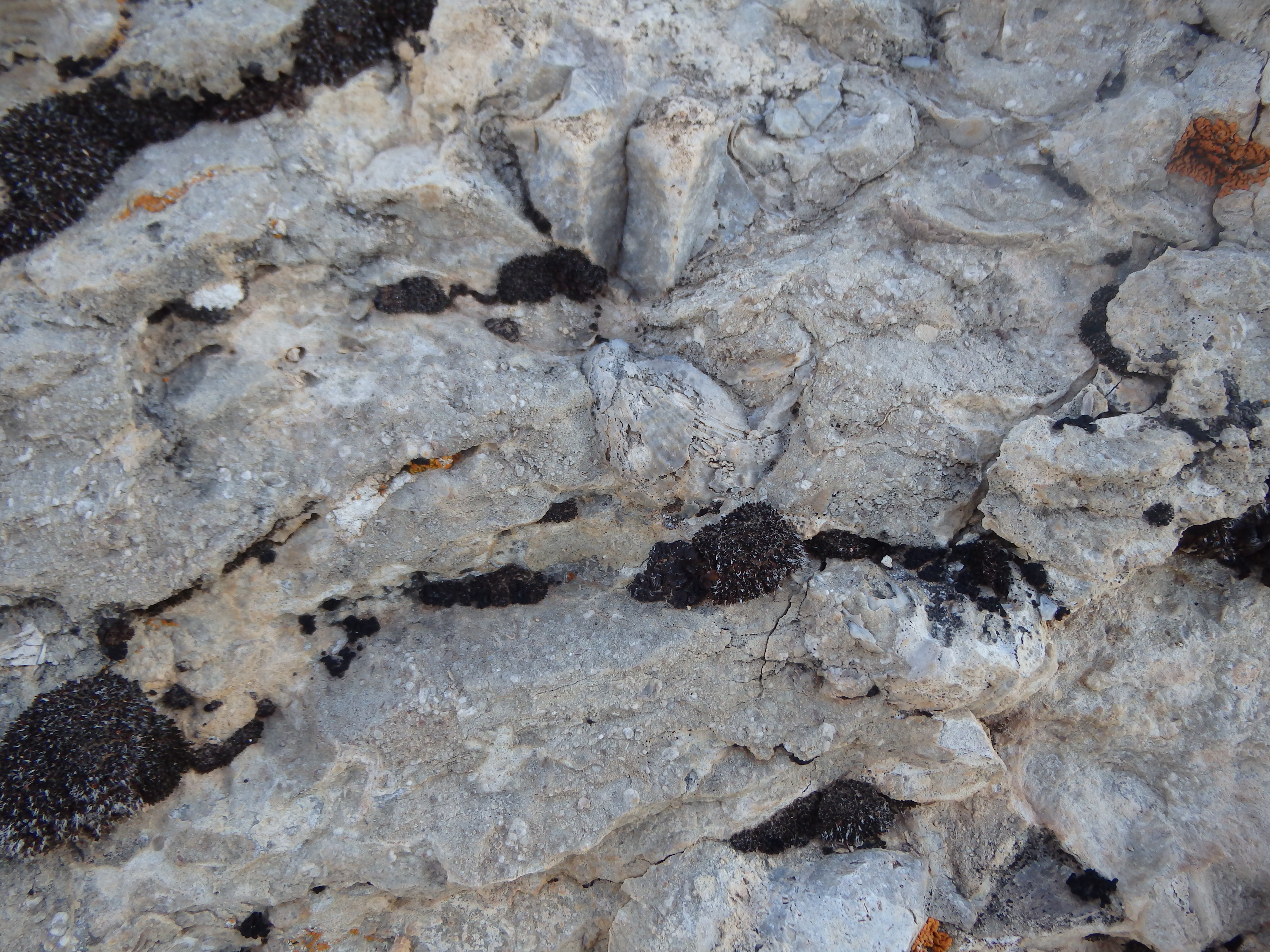
There were a number of thin use trails to utilize as I began to ascend the 300′ of class 2 to the summit. The cliffs to the east were dramatic and looked rather suspect, so I cheated to the gentle western slopes of the ridgeline. About halfway up the ridge became a bit more rocky with a handful of class 2 steps to negotiate. Embedded in the rocky steps were a number of seashells and fossils, the namesake feature of the summit I was climbing.
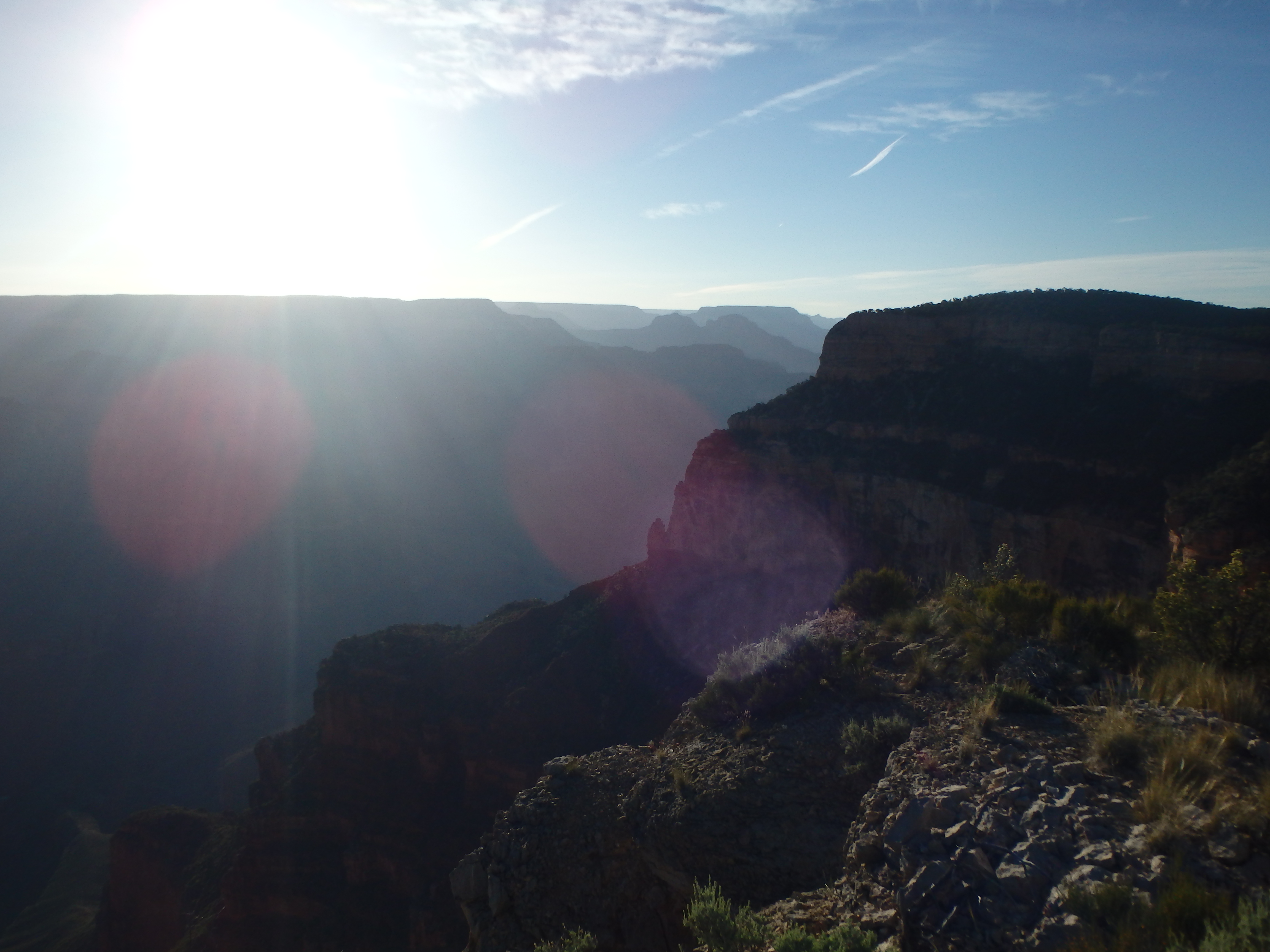
I reached the summit less than 45 minutes after starting out, and sat down to enjoy the early morning light across the canyon. The best views were to the west, seeing the morning glow on yesterday’s summit of Mount Huethawali. Although backlit, the views West into the canyon were equally as impressive, and I could just make out the Colorado River below. It was a bit of a shame to summit such an easy peak solo, knowing I would torture my wife with a more difficult summit next time we visited the canyon together.

Finishing my light breakfast, I headed back down the slopes, again taking the use trail at the saddle to avoid the brushier portions of the ravine before dropping back in and hiking out to the road. Leaving Havasupai Point, I stopped at the Lookout Tower at Signal Hill further to the south before continuing on.
I’m planning on doing South Bass with 3 buddies in a couple of months. What was outcome of Havasupai charging you? Don’t want to do a ton of planning and wind up paying $200 to drive 3 miles across their land. Thanks!
Despite giving them my credit card I still haven’t had any charges come through. I’m going to assume that they sent the information to the powers that be and they decided I had paid what was owed, and not that they just lost it and there will be a warrant for my arrest the next time I hike in Havasupai Land…