
Goldmine Mountain 2463′
San Tan Mountains Regional Park
Total Time: 3 hours
Roundtrip Mileage: 4.2 miles
Elevation Gain: 1100′
Class 2
Trailhead: Skyline Trailhead ($6), pit toilets
Companions: Holly


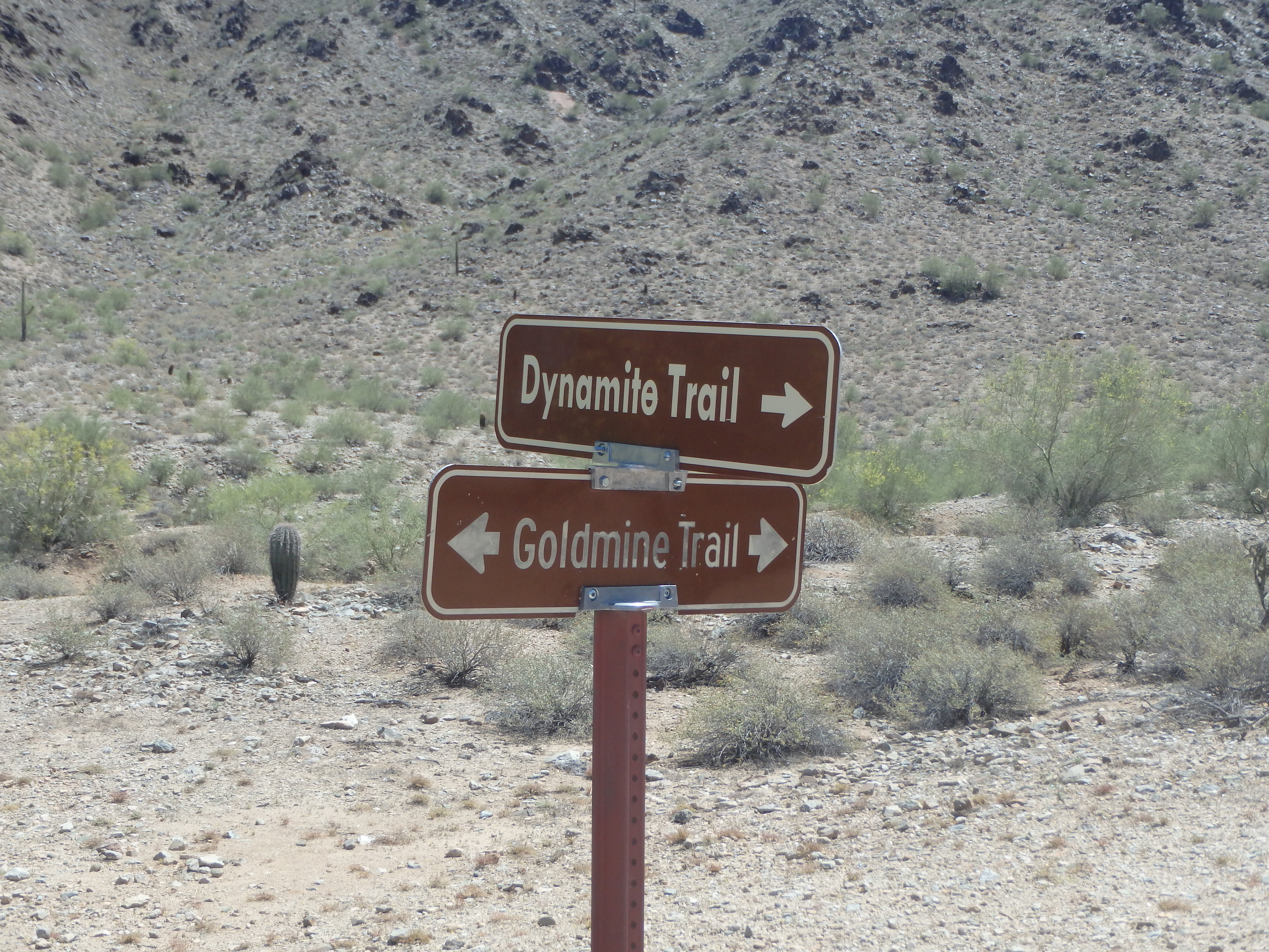
The San Tan Mountains are a small range about 45 minutes Southeast of Phoenix. Although the range has only a handful of summits, the range stands tall over the small town of Queen Creek, and is quite isolated from many larger nearby ranges. I hadn’t visited the San Tan Mountains since moving to Phoenix partially because of drive time, and partially because all summits in the range were trail-less, with less than stellar off-trail options. About half the range lies within San Tan Regional Park, which has a number of trails, none of which go to summits. The rest of the range, including the range high point, lies on the Gila Native American Reservation, and is entirely off limits. I finally decided to pay the range a visit in April, and set my sights on Goldmine Mountain, one of the few summits in the range with a trail nearby, and reportedly a use trail to the actual summit. We started from the Skyline trailhead in the late morning after paying our $6 entrance fee, and followed the wide trail into the shallow valley. The trail passed a pair of graves, fenced off with some plaques commemorating the two buried men.
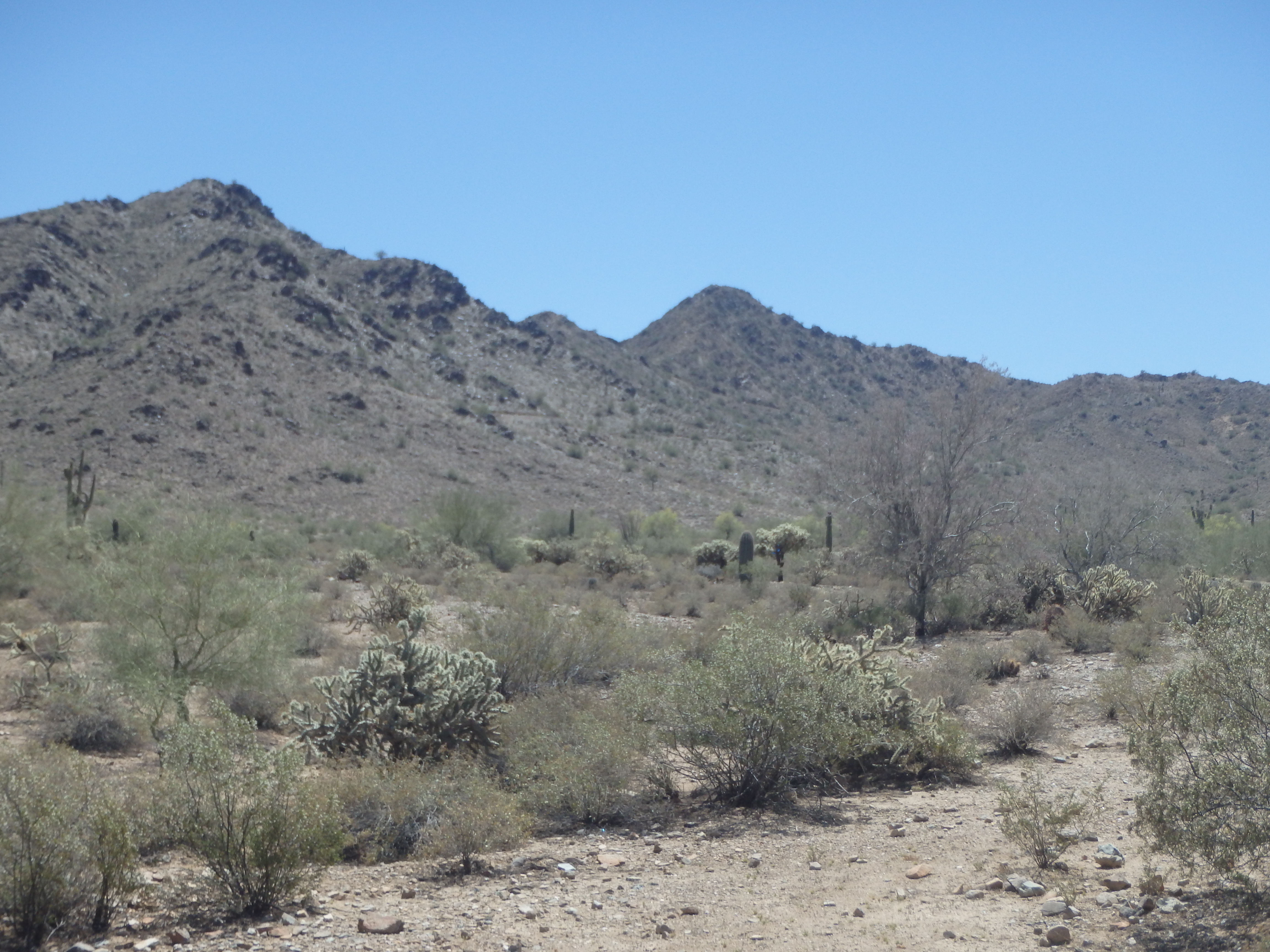

After a brief stop, we continued along the trail as it slowly gained elevation, briefly steepening as we reached the ridgeline and a shallow saddle. Here, a number of people we gathered for the view, seemingly the destination for most, despite being only about a mile from the trailhead.


We continued on to a second, slightly lower saddle on the ridgeline, with the summit of Goldmine in sight. We looked for a use trail, and found a number of steep options, none of which were very good.

We steeply climbed over the first false summit, and the path was initially tame along the undulating ridge. As we grew closer to the summit, the ups and downs increased, along with the general looseness and poor condition of the route. Already going over about 8 false summits, we hit a broad, gray saddle with a small fire ring.
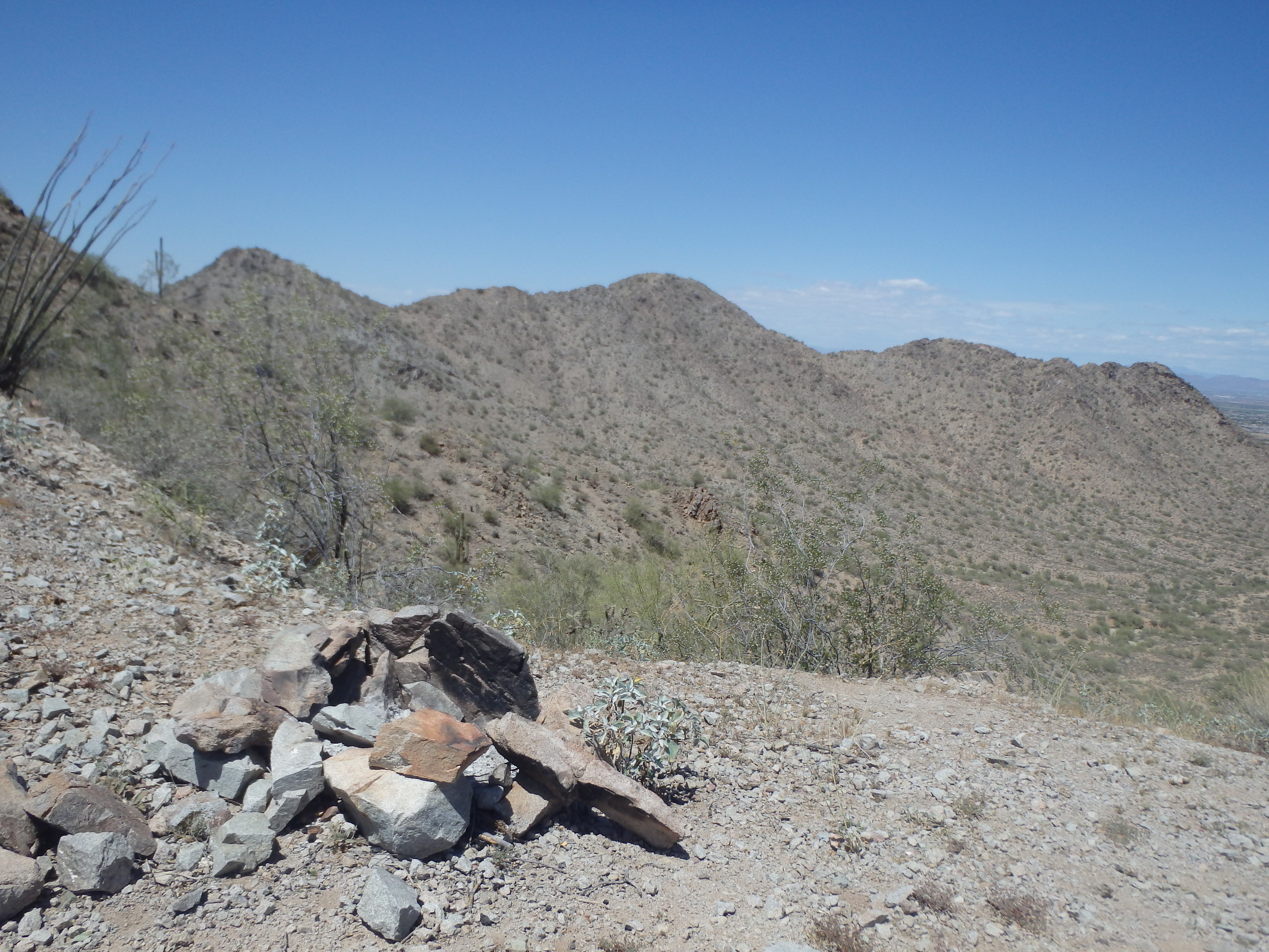

Here, the route steepened significantly, and was unfortunately quite loose. Every time we thought we were nearly to the top, we found ourselves on another false summit. All told, it probably took a good 45 minutes to cover about 1 mile, 15 false summits and a lot of loose class II to put us at the summit. The best views were to the South of Newman and Picacho Peak near I-10, and to the northeast of the Superstitions.


We ate some jerky and snacks, trying not to attract the attention of various giant wasps that are drawn to the blooming Palo Verde trees each spring. After about 20 minutes, we dropped down the steep, loose ridgeline and came across two hikers on their way up. I told them the summit was still about 15 minutes further, which was met with a blank expression, as one muttered something about “just going along.” In another 20 minutes we were back on the main trail and it was easy hiking the way out. We left the range and headed for some post hike beers, appropriately at San Tan Brewing Company.