


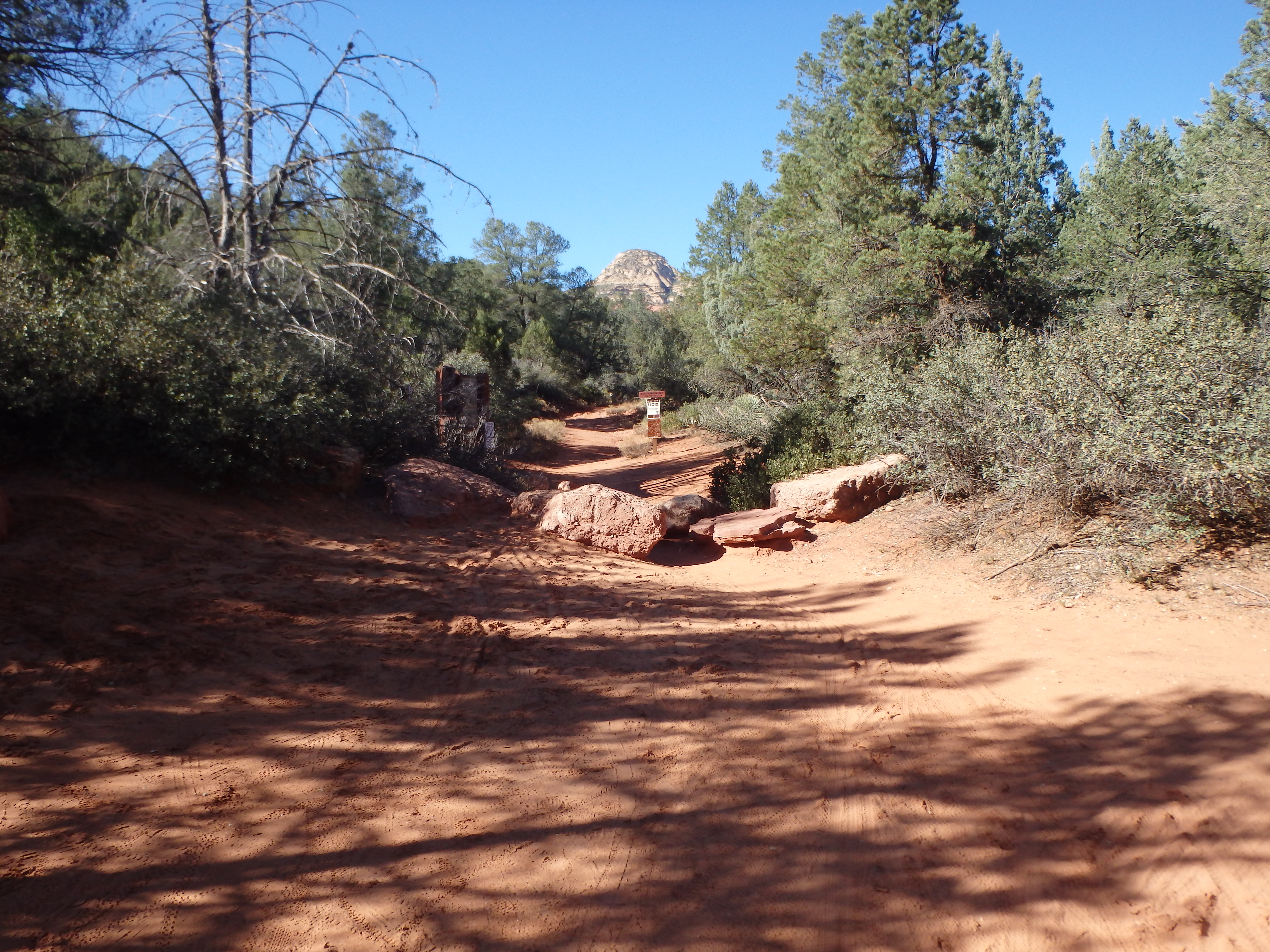
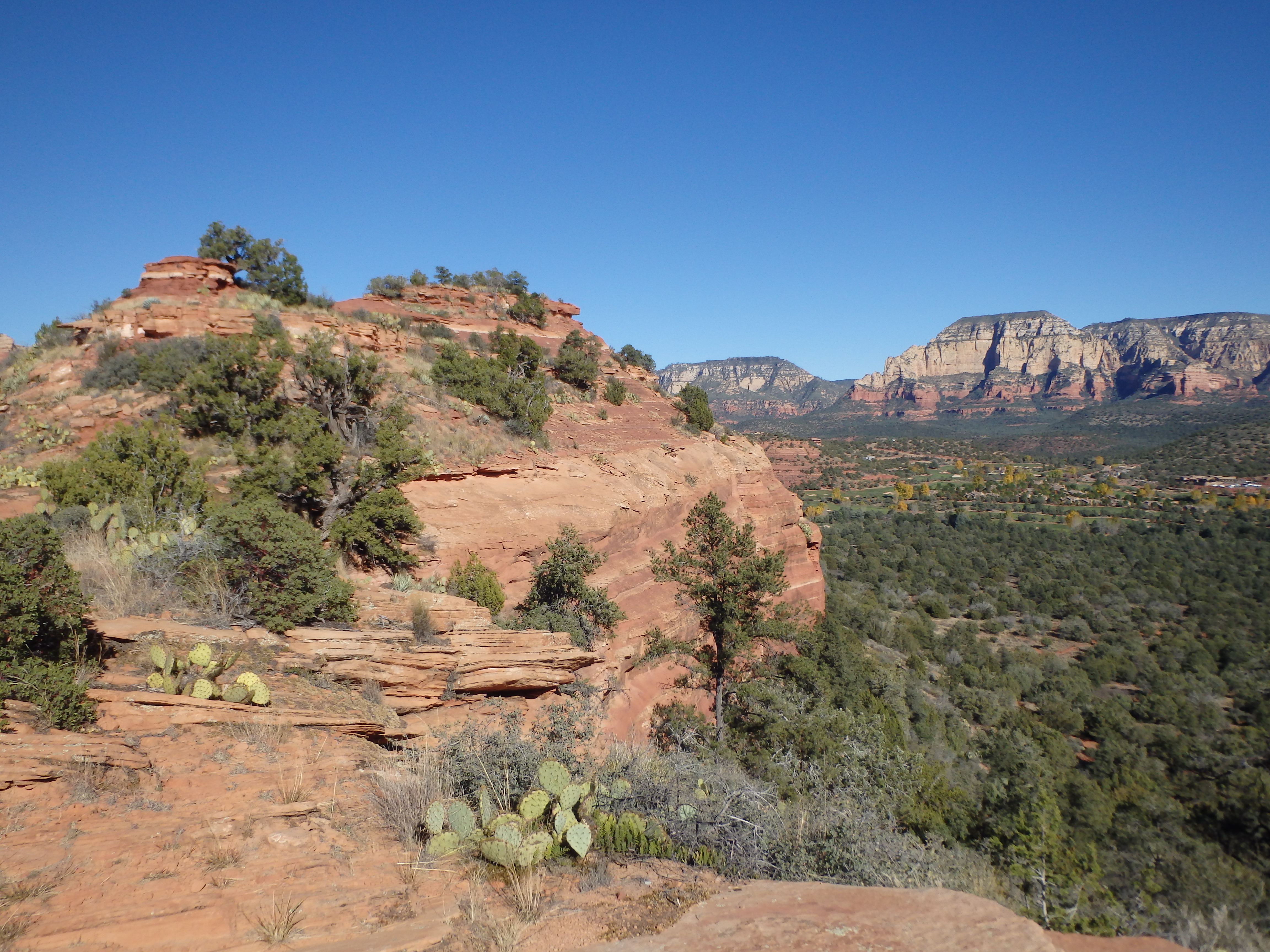
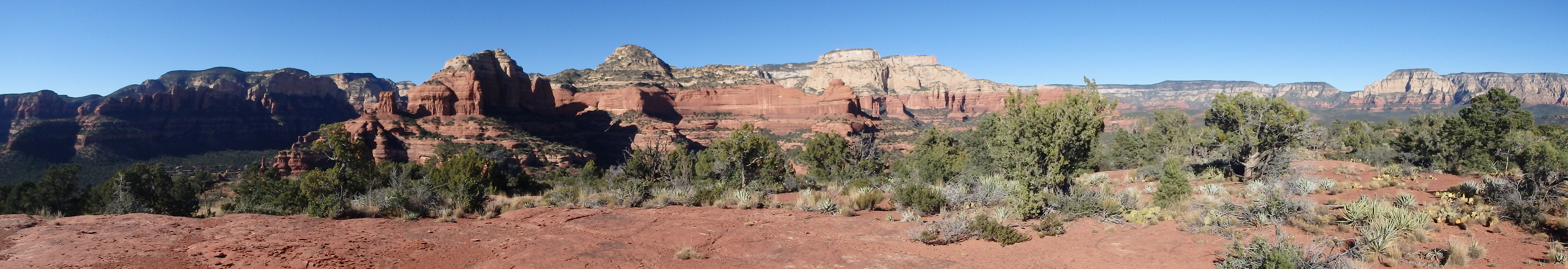
In Sedona, it can be hard to find much solitude. As the outdoor Mecca of Arizona, trailheads overflow and summits are over run with tourists from across the world. The shorter hikes tend to be the most congested, and you can be sure to find plenty company on anything under 5 miles. One interesting exception to this is Mescal Mountain, a small butte separating Boynton and Long Canyon. The summit, although flat, has a subtle rise and clearing at it’s highest point, giving outstanding views. To reach Mescal Mountain, I started along the Long Canyon Trail, an old 4×4 road off Long Canyon Road.
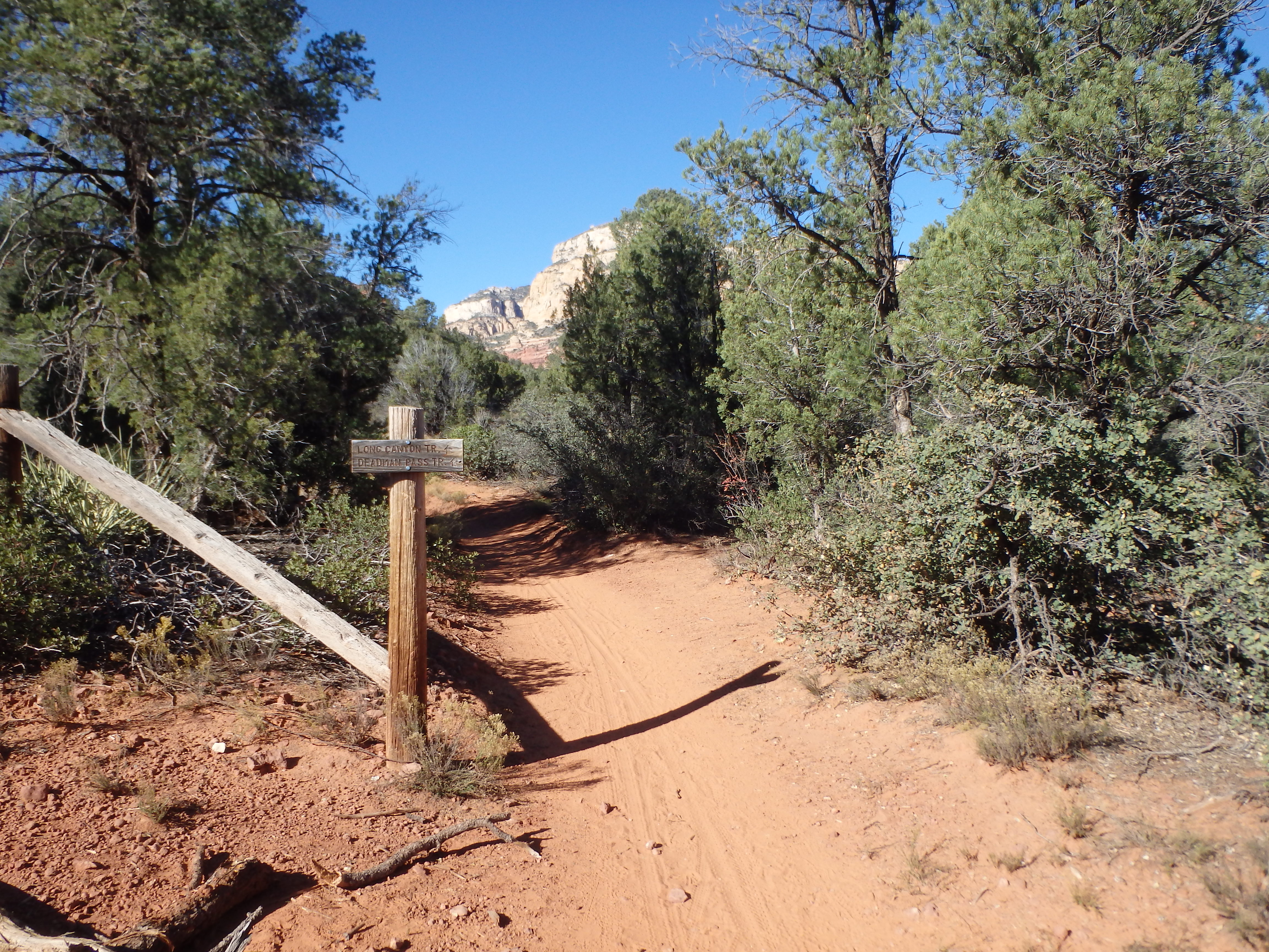
I set out on the wide, sandy trail, popular with both hikers and mountain bikers. The trail kept among the junipers and pinyon pines, with occasional views of Mescal to the west. After about 0.5 miles, I encountered an old fence and junction, with a subtle use trail splitting off to the left.
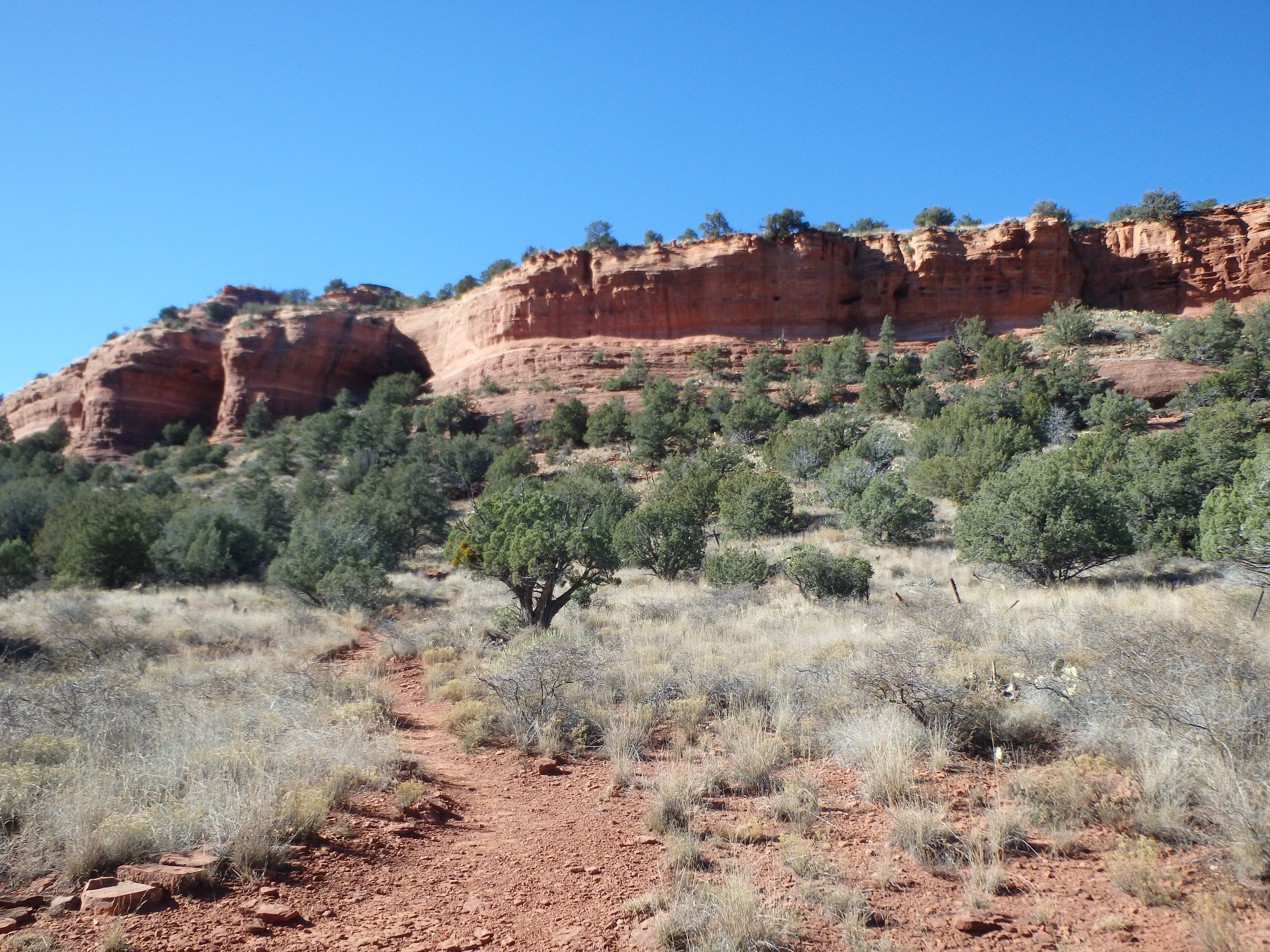
The handful of other hikers I had seen were left behind as the easy to follow use trail headed directly towards a shallow saddle between the main summit butte and a long north ridgeline. There were a few branch points along the way, but the main trail was obvious, always heading towards the saddle.
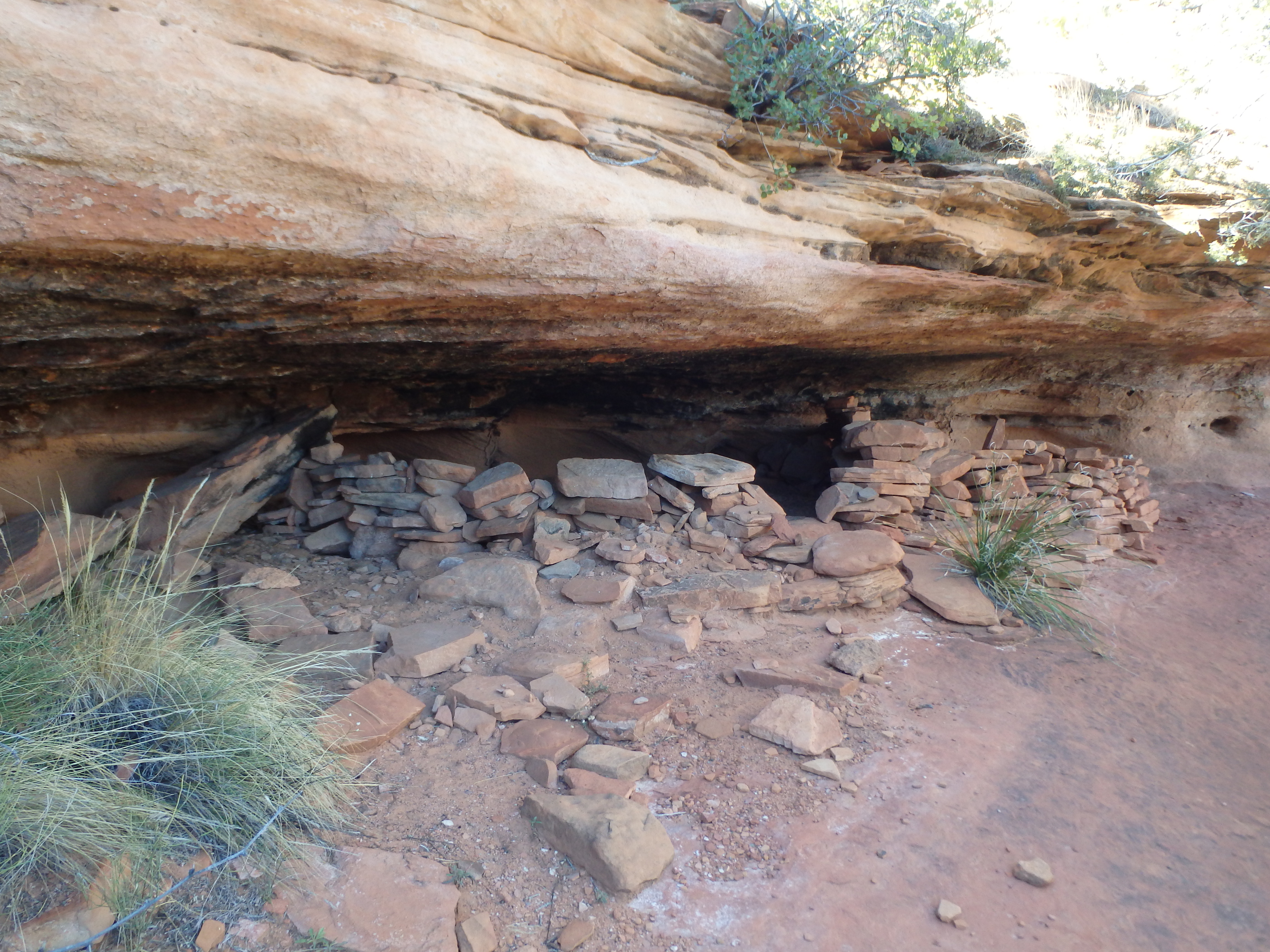
It finally began to gain a little bit of elevation near the base of the saddle, and just before gaining the ridgeline, I stumbled upon some Native American ruins, known locally as “Grandma’s Cave.”
I scrambled up the remaining ledges to the saddle, with great views of Boynton Canyon below. The majority of people who come this far turn around at this point, with the summit blocked by 100′ of sandstone cliffs.
The excellent use trail became less distinct, and I more or less followed the ridge towards the cliffs, trying to scout out a way through, and occasionally working around brush. A faint trail followed the cliffs to the east and I continued following along, looking for a way through. I tried in several locations, only to find myself blocked by sandstone cliffs higher above. Finally, shortly after passing a small rocky basin, I found a short but steep 15′ class III crack to get me through the lower layer of sandstone.
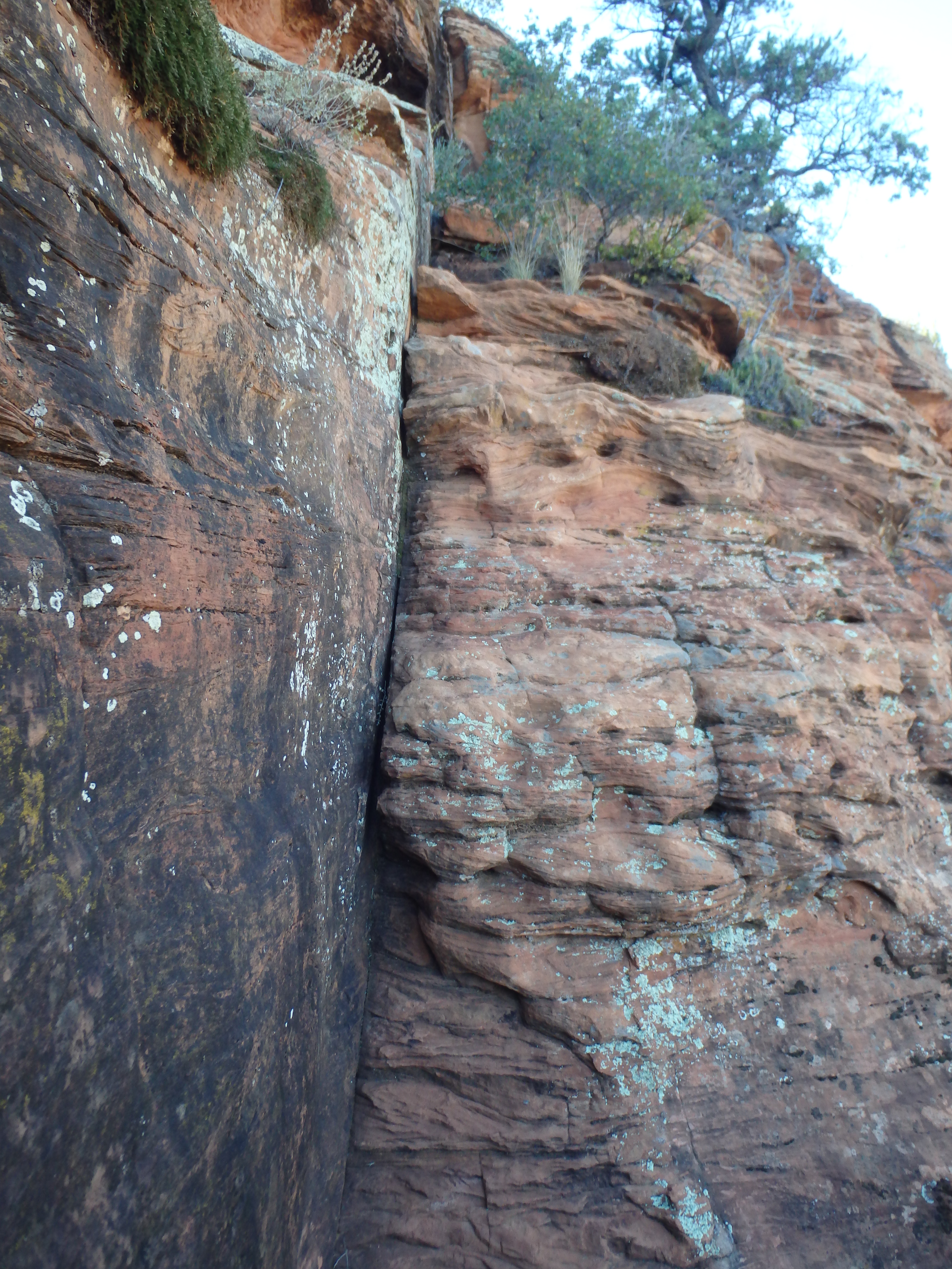

Once atop the crack, I traversed past some shallow sandstone caves farther east before finding a break in the upper sandstone to bring me to the summit plateau. The summit plateau, while mostly flat, has a bald, sandstone cap at the true highest point, slightly southwest of where I popped up, leaving a cairn to find my way back through the sandstone. The summit views were surprisingly 360, with particularly great views of Capitol Butte, which I had climbed that morning.
I took a short break, before uneventfully heading back through the sandstone to the saddle, finding a slightly better trail to the east of the ridge. I passed by the ruins and encountered the first person I had seen since leaving the main trail. From there, it was a short hike back to the trailhead, followed by a longer drive back to Phoenix.