
Oza Butte 8068′ and Widforss Overlook 7960′
Total Time: 10 hours
Roundtrip Mileage: 13.5 miles
Elevation Gain: 3,800′
Crux: Class 3
Trailhead: Widforss Point Trail- trash, pit toilet.


Oza Butte, a Paiute word for a narrow necked basket, is the first of many Grand Canyon summits that have bested me over the years. During my first trip to the North Rim, my wife and I had attempted Oza with a late, midafternoon start, thinking it was only 8 miles roundtrip. In reality, Oza by itself is closer to 12 miles roundtrip, and when we hit the rim overlook Oza and the start of the class 3 brushy scrambling, it was clear we wouldn’t have enough daylight left, and bailed on the attempt for getting in too deep. That resulted in a rather tedious and painful climb of Kibbey Butte the following morning, leaving a bad taste for the often brushy and thorny North Rim summits. On my last day of a three day stint on the North Rim, I wanted another crack at the first Butte to best me. I again woke up early from my camp off Point Sublime Road and drove back towards the Widforss Trailhead, not surprisingly, the first car there for the morning. I quickly had breakfast and organized my gear, heading out along the trail shortly after 6AM.

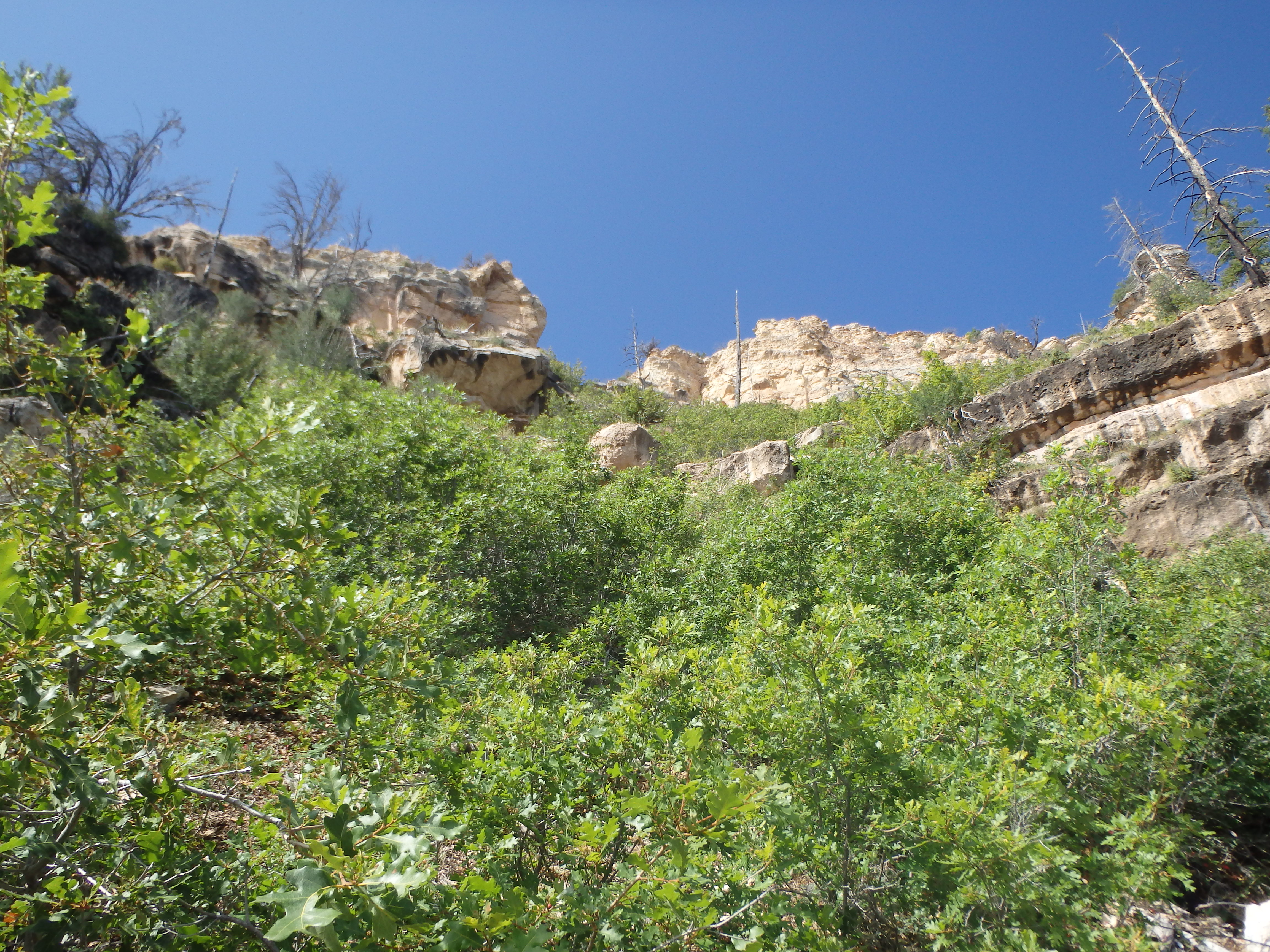
The Widforss Trail, named for Swedish American painter Gunnar Widforss, initially starts in thick ponderosa pine as it weaves in and out of various drainages. Leaving Harvey Meadow, it takes a quarter to half a mile to reach the rim, giving me my first look of Oza Butte for the day.

It looked just as far as I had remembered from my first attempt. I enjoyed the morning light across the canyon as I continued along, a number of ups and downs as the trail hugged the undulating north rim. Passing the Transept area of the North Rim, the trail cut away from the rim back into the forest, and I started to check my GPS for the turn off towards Oza Butte. After weaving through a shallow drainage with small Aspens, the trail started to climb back to the west, and I headed off through the forest in the direction of Oza Butte. Hugging the rim required climbing and descending three different false summits, but the terrain was relatively clear, and I had no real difficulty reaching the sandstone promontory off the North Rim above Oza Butte. It had taken about 1.5 hours to reach this point 4 miles in, and I was feeling pretty good about the day, thinking I would have time to tag Widforss Point as well, a small sandstone pyramid off the rim immediately to the west.

I backtracked 50′ to a cairn marking what I assumed to be the start of the descent off the eastern slopes and headed down. The going was loose and brushy, and I awkwardly bushwacked/climbed down several tiers of sandstone cliffs before becoming cliffed out. Maybe I needed to traverse a bit further south? I traversed ledges towards Oza around a small rib of rock, finding more of the same. I was quickly finding the route to be more complicated than I expected. I changed plans and climbed up to just below the sandstone fin coming off the North Rim, thinking I might follow a game trail that hugged the rock face, as they often do. But continuing south along the rock, I was again cliffed out, seeing no obvious way down, and not willing to commit to the brush in a blind descent.


I tried working down the cliff bands and kept finding more short cliff bands hidden by brush from above. I began to grow desperate, having wasted a good hour trying to find a way through the ledges. Working along ledges back towards the north, I found a class 3 crack that seemed to the key to working through the largest band of rock about halfway down. From there, it was a tedious but straightforward descent down a few much smaller cliff bands and steep talus slope to a game trail below. I took a picture of the route above to try and help find my way back up on the return, then started along the game trail to the south as it contoured across the steep talus.

Compared with the brushy crap I had just worked through, this use trail was a dream. I quickly reached the base of Oza’s northern slopes and fin of sandstone pouring down the summit ridgeline. It was hard to tell through the thick pines how far I needed to traverse over before ascending, and I overshot a bit winding up near some western cliffs. But it was an easy correction and I started ascending much less brushy cliff bands with plenty of class 2 and 3 weaknesses to choose from. I was almost starting to have fun again when I hit the last small band of rock a popped out on the summit, a bit over 4 hours from starting out. There was some debris on the summit from an old geologic station, and I walked around for gaps in the trees for shots of Manu and Buddha Temple to the southwest, Widforss Point to the northwest, and the North Rim Lodge and Brahma Temple to the east and southeast.


Unfortunately, the extra routefinding and bushwacking off the rim had depleted my water, and I had finished 2.5 liters by the time I left the summit of Oza, making me worried for the prospect of going for Widforss Point with so little reserve. I obviously needed to get back to the rim regardless, so I figured I would see how long it would take to get back and how the weather looked before making the final decision. I dropped off Oza Butte through the various class 3 bands, more or less taking the same line down as I did on the ascent. I actually found the brush a bit thicker if I stuck too close to Oza’s northern ridgeline up until the high saddle below the rock features. I thought I might have better luck staying close to the connecting ridgeline on the return, and found a good deer/goat trail that didn’t have too much brush, quickly bringing me to the final saddle below the sandstone promontory off the North Rim. I dropped back down to the use trail and continued to traverse North, constantly checking the photograph I had taken with the terrain above, trying to find the key class 3 weakness that I had needed on the descent. I eventually found the line I was looking for, and not surprisingly found the ascent much easier than the ascent, being able to use the small oak trees to pull myself up over various rock bands. I hit the North Rim 2 hours after leaving Oza Butte, with about 1.5 liters of water left in my pack. Frankly the amount was a little borderline, but I wasn’t really looking forward to the long drive back to Phoenix either. A shallow drainage to the northwest of my position looked as though it led directly to the Widforss Point approach, and my GPS suggested the point was less than a mile away.

I ultimately decided to go for it, and dropped into the wide, grassy drainage with the occasional pine tree and down log. The cross country here was easy, and I was quickly lured into a false sense of security. Even when I started to hit some small patches of acacia, I worked around them quickly. I had come this far I thought, how much more can there be? But as I continued along, the drainage filled in with more and more thorny brush, not just acacia, but raspberries and wild rose as well.


Soon as I was practically swimming in thorns, the acacia tearing up my arms, the raspberries and wild rose shredding my legs. I could just start to see around to the where the drainage hits the rim, and it did not look like things were improving anytime soon. In addition, some suspect storm clouds had moved in while I was in the drainage, and attempting the class 4 route on Widforss Point with storms quickly descending sounded like a bad idea. So I switched gears and went for plan B, heading directly up the slopes to the south to ascend the rocky summit looking down on Widforss Point, unofficially known as Widforss Overlook. There was still plenty of acacia lower down, but the brush improved as I neared the top of the pseudosummit, looking down on the pyramid of Widforss Point below.


By now, rain had started sweeping across the canyon to the west, headed directly my way, and I opted to hug the rim back towards the east, not dropping back to the north until the brush improved. I angled north to intersect the Widforss Trail and hit it under a mile from where I had left it in the morning. There were no other hikers on the trail with the threatening weather, and I continued along the normally busy trail, not seeing my first person for the entire day until I was less than a mile from the trailhead.


The weather improved as I got closer to the car as the storms blew past, and the sun was shining just as I finished. After rinsing off a bit of grime and dust, I headed north towards Jacobs Lake and swung east and south for a late dinner in Flagstaff and the return drive to Phoenix that night.