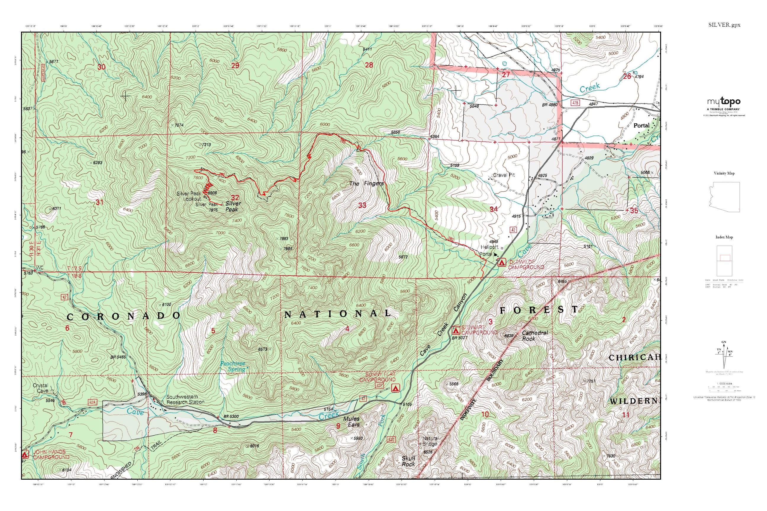
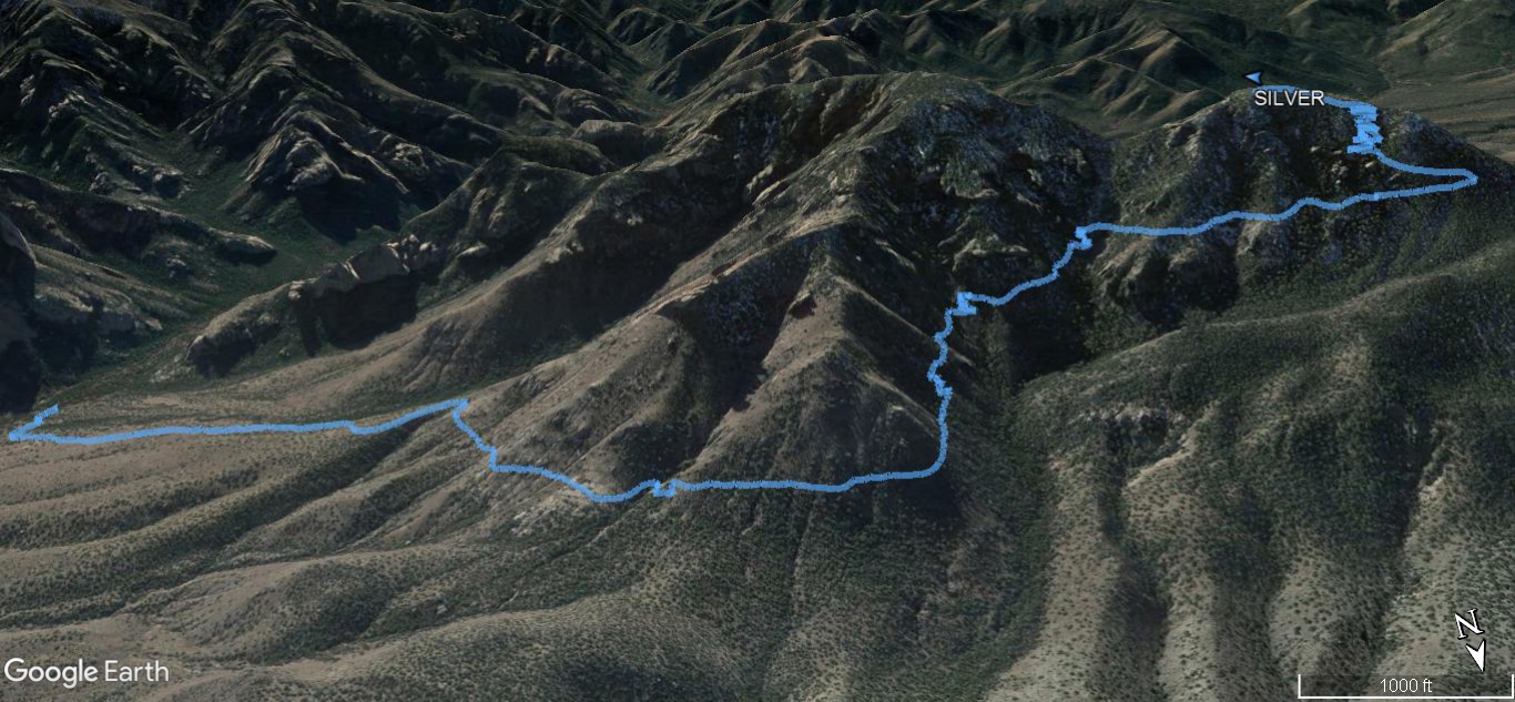
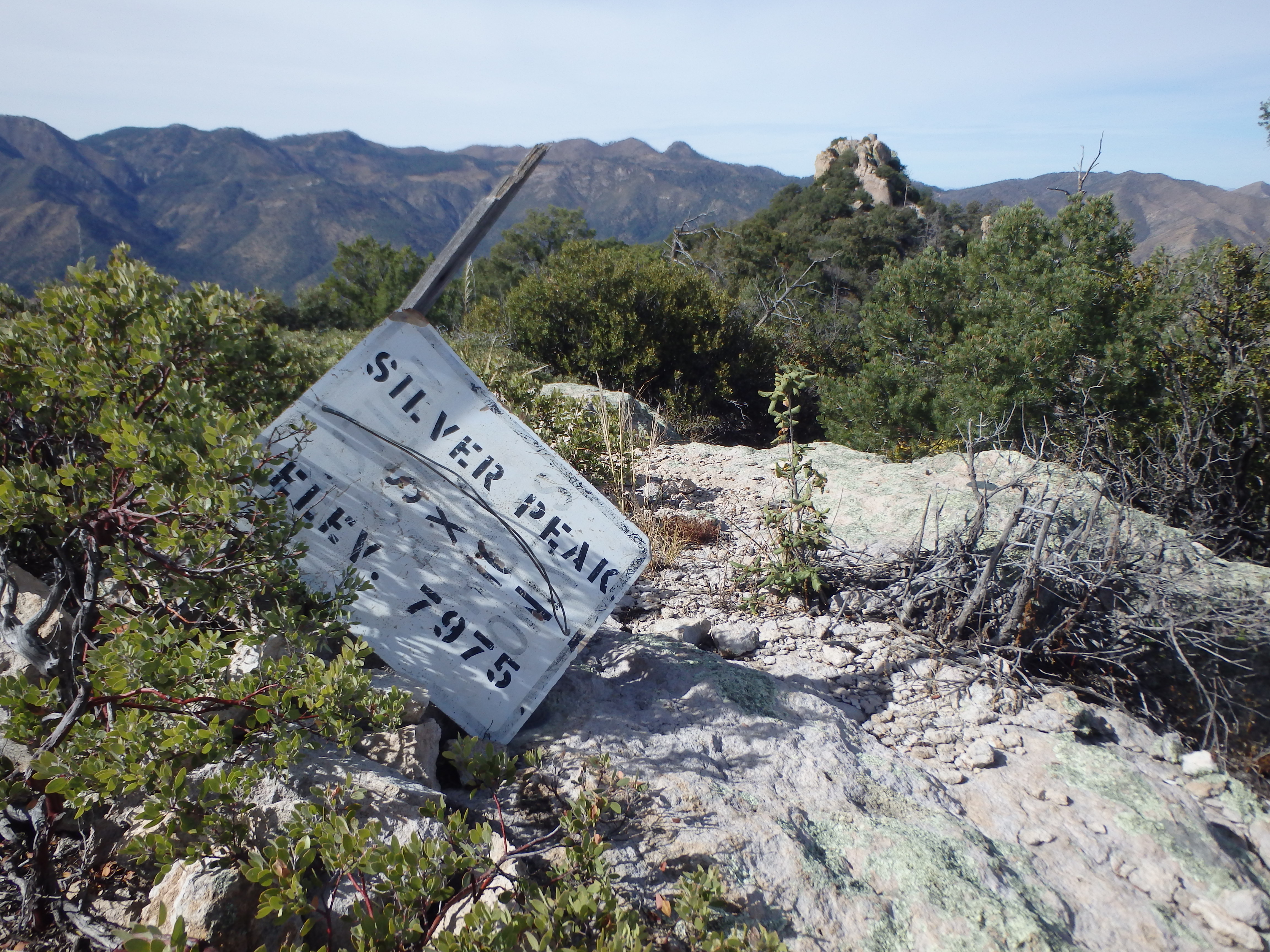
Silver Peak 8,008′
Total Time: 4:45
Roundtrip Mileage: 9.8
Elevation Gain: 3,250′
Crux: Class 1
Trailhead: Sky Islands Trail
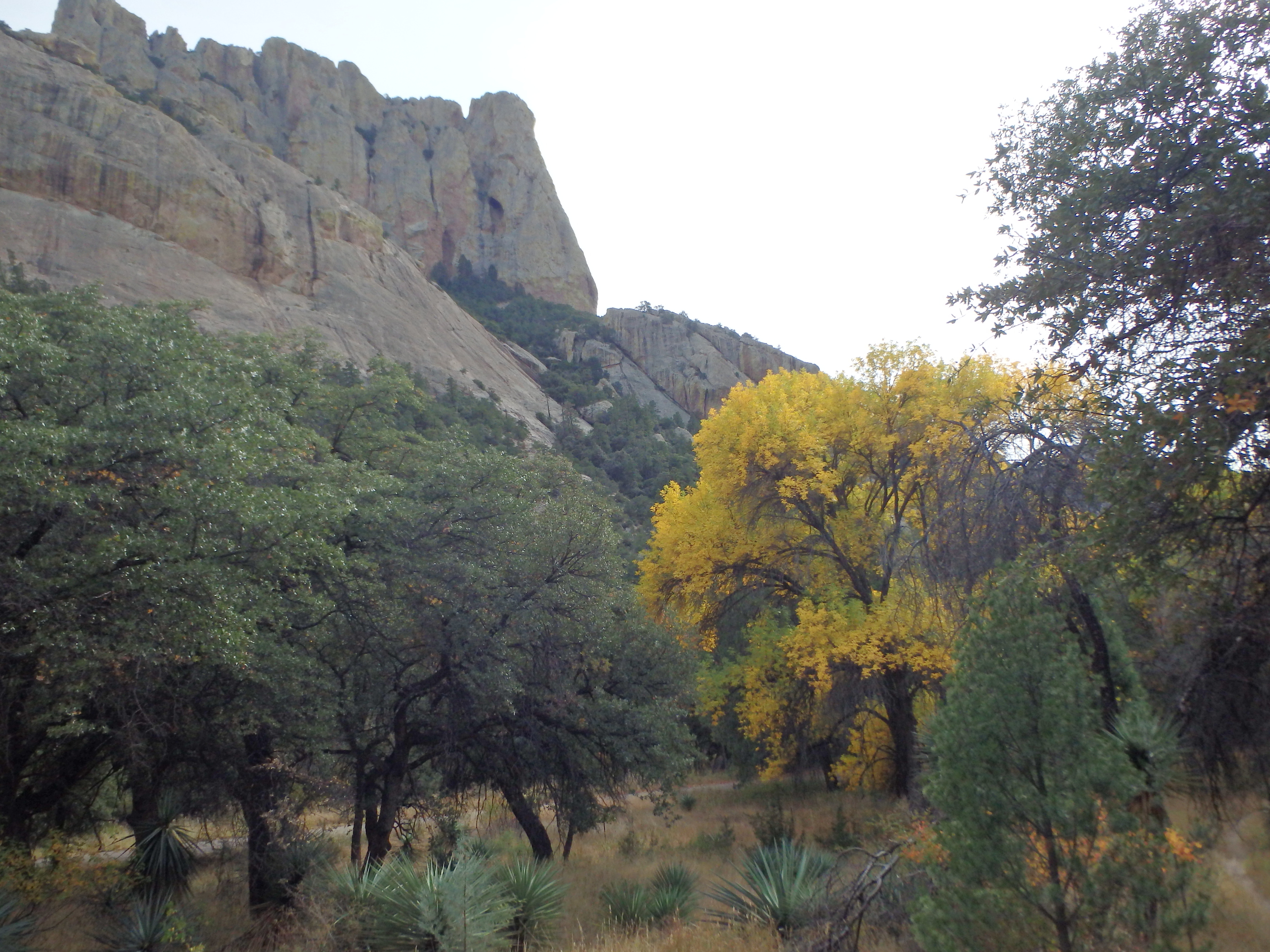
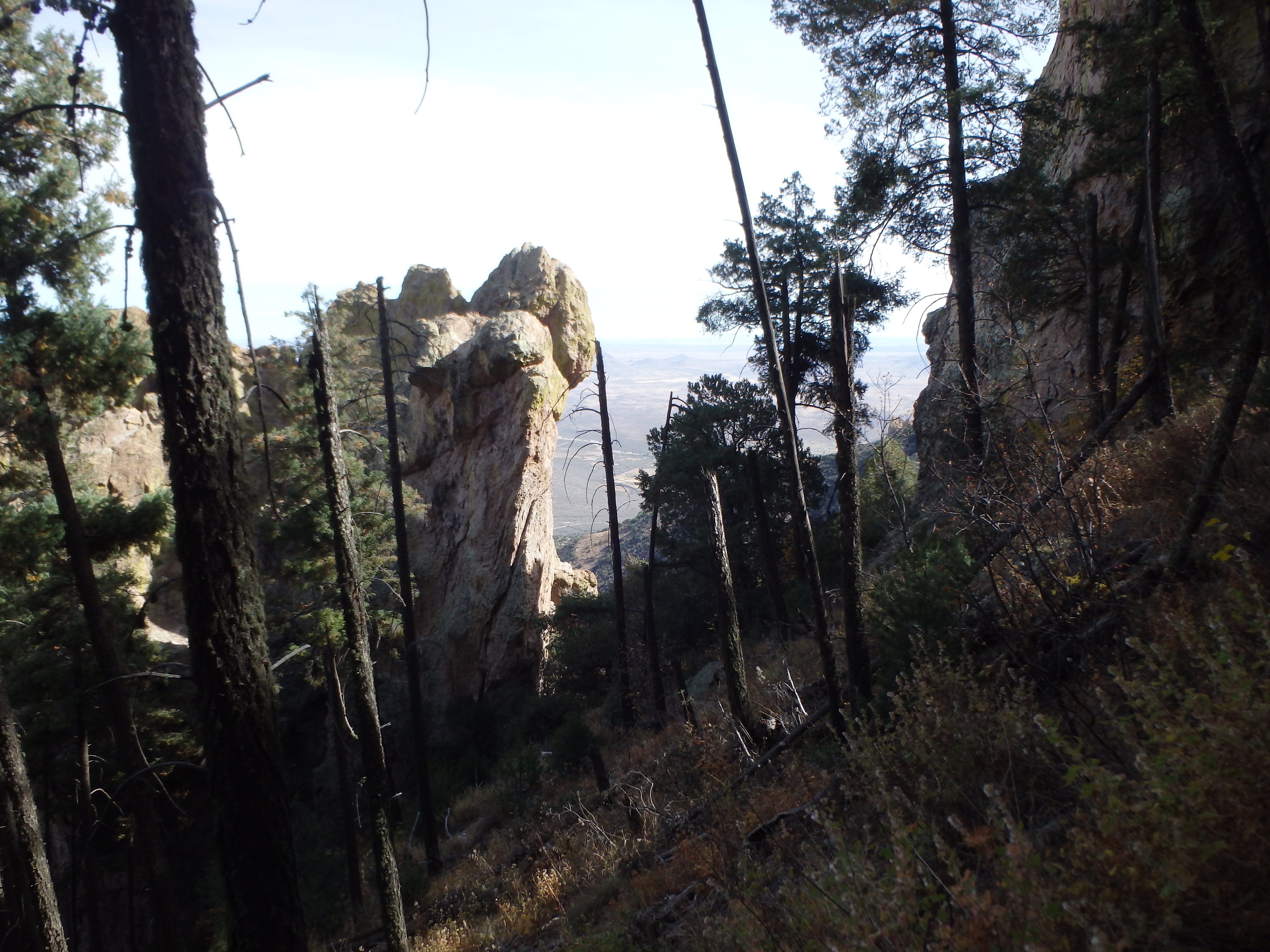
Silver Peak in the eastern Chiricahua Mountains is one of the most remote P2Ks in the state. In the very undeveloped no-man’s-land at the southern AZ/NM border, Silver Peak is hidden from sight by the bulk of the Chiricahua Mountains and only visible from the east or high points within the range. Despite its remoteness and relative obscurity, Silver Peak and Cave Creek Canyon are well worth the drive. Formed by volcanic eruptions 27 million years ago from the Turkey Creek Caldera, Cave Creek Canyon and the adjacent summits are formed by dramatic rhyolite tuff, creating spires and rock domes along the canyon slopes. Even with the beating I took on my PB 30.2 mile outing on Chiricahua Peak the day before, I was too close to Silver Peak NOT to do it. So, like an alcoholic looking for his next drink, I found myself at the trailhead of Silver Peak first thing in the morning. With over 3,000′ of elevation gain. the trail starts essentially at the base of Silver Peak in Cave Creek Canyon, with scattered oak trees dressed in yellow for fall along the creek bed.
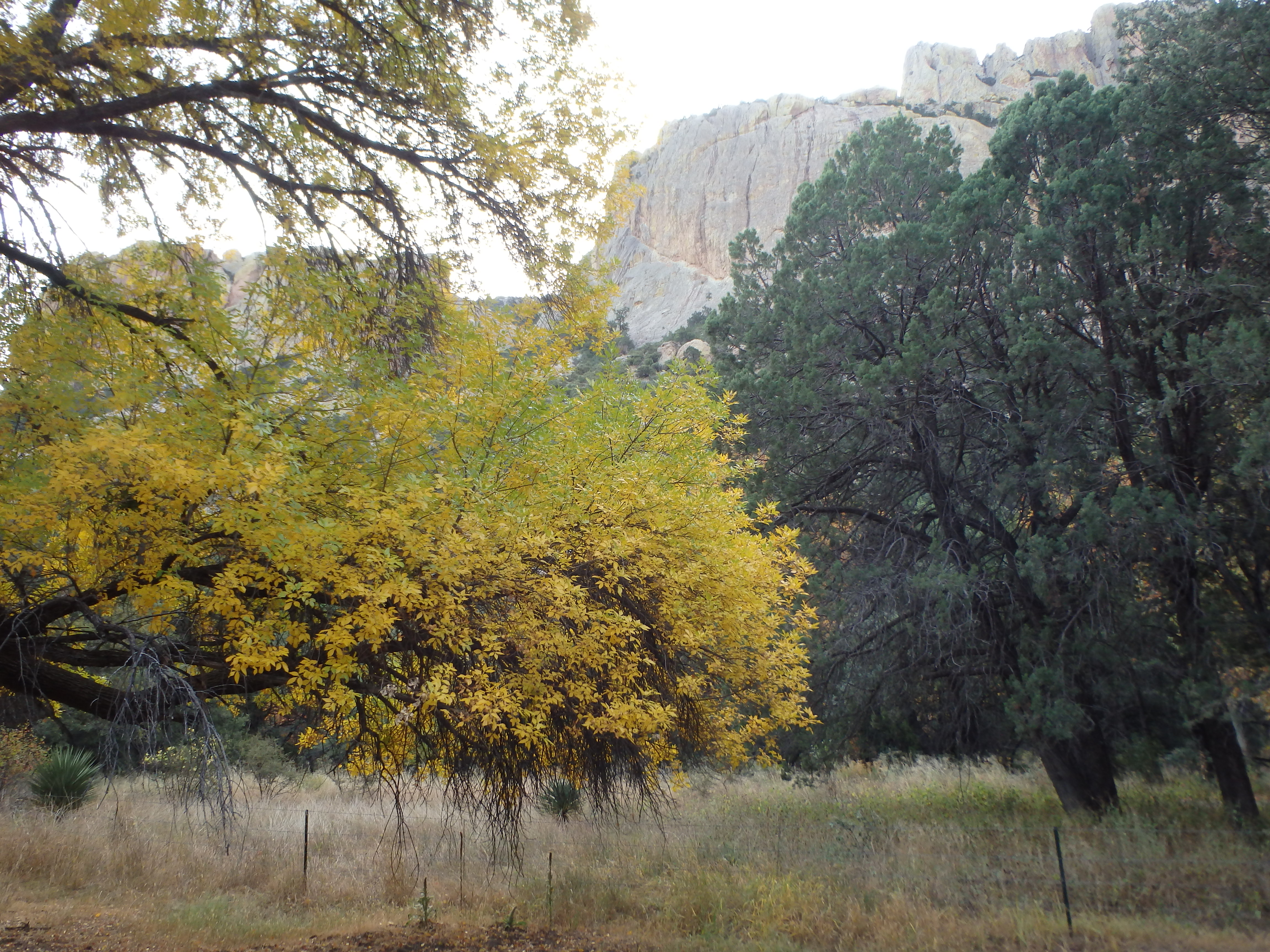
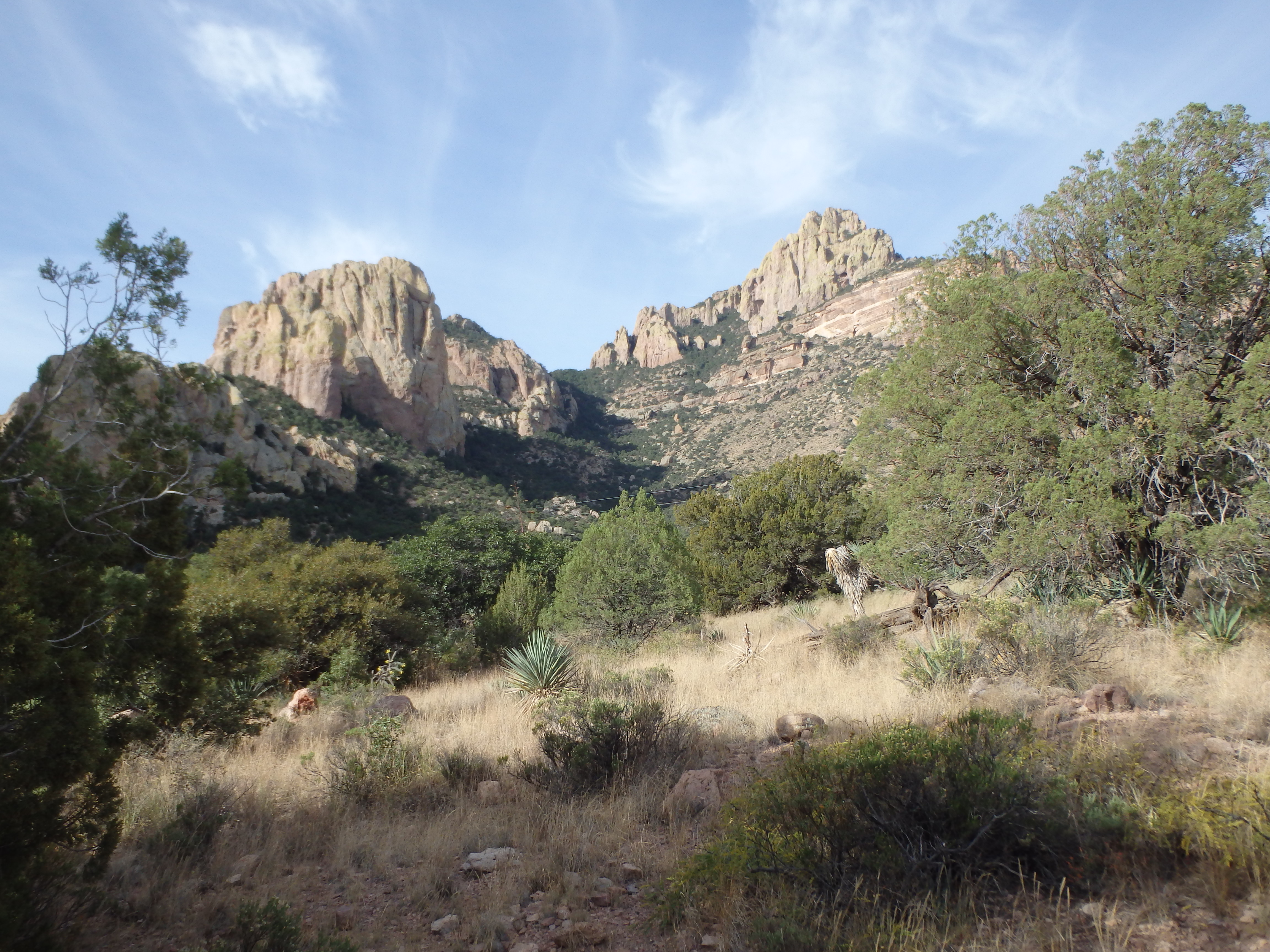
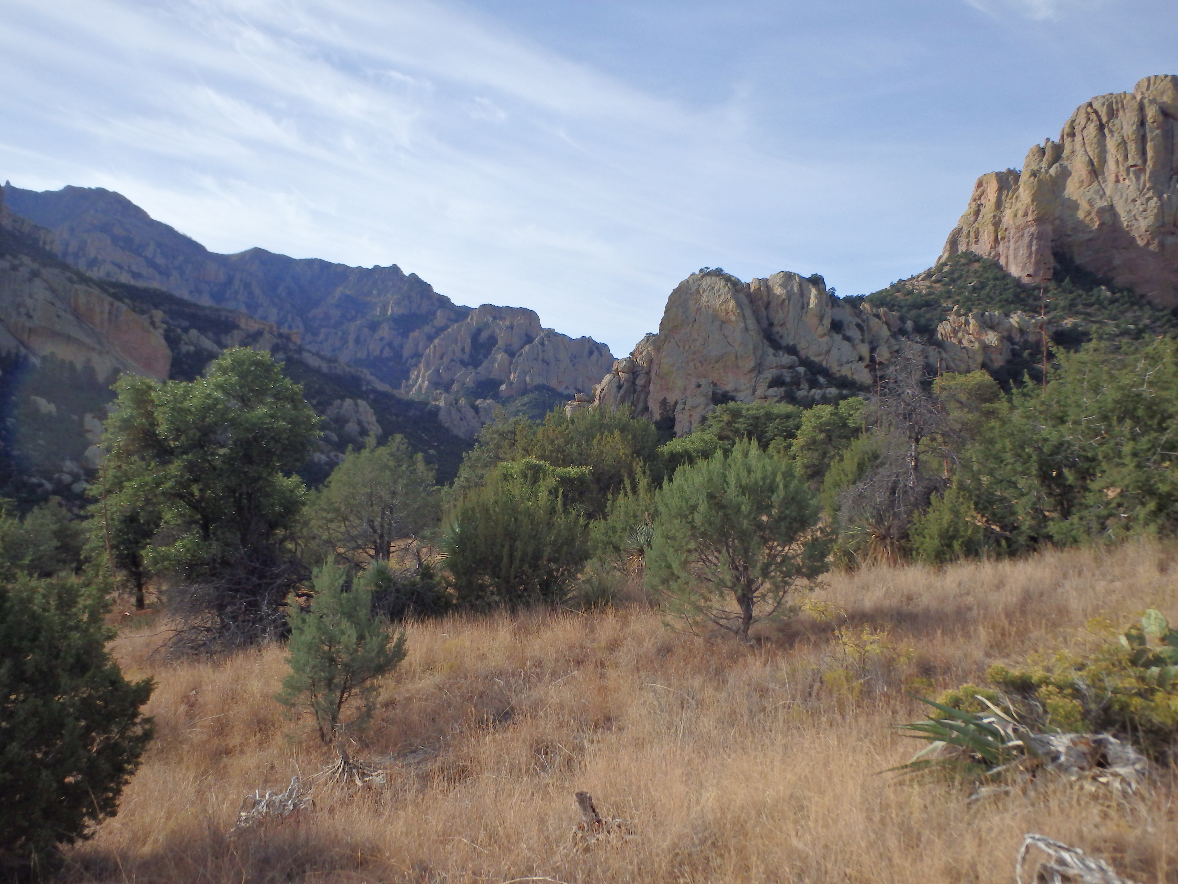
Leaving the shade of the canyon, I quickly entered open grassy slopes as the trail aimed for the eastern shoulder of Silver Peak. Needless to say, I was moving particularly slowly after Chiricahua, but the views of the canyon were impressive and the trail was thankfully well maintained. It was a little over one mile of hiking until I finally reached shade again and took a short break. The day was heating quickly at these lower elevations, and I was thankful that the trail began to stick to north facing slopes once I cleared the eastern ridgeline. It was the beginning of the many switchbacks that would make up the rest of the hike, but being out of the sun and in view of golden oaks and dramatic spires, I could hardly complain.
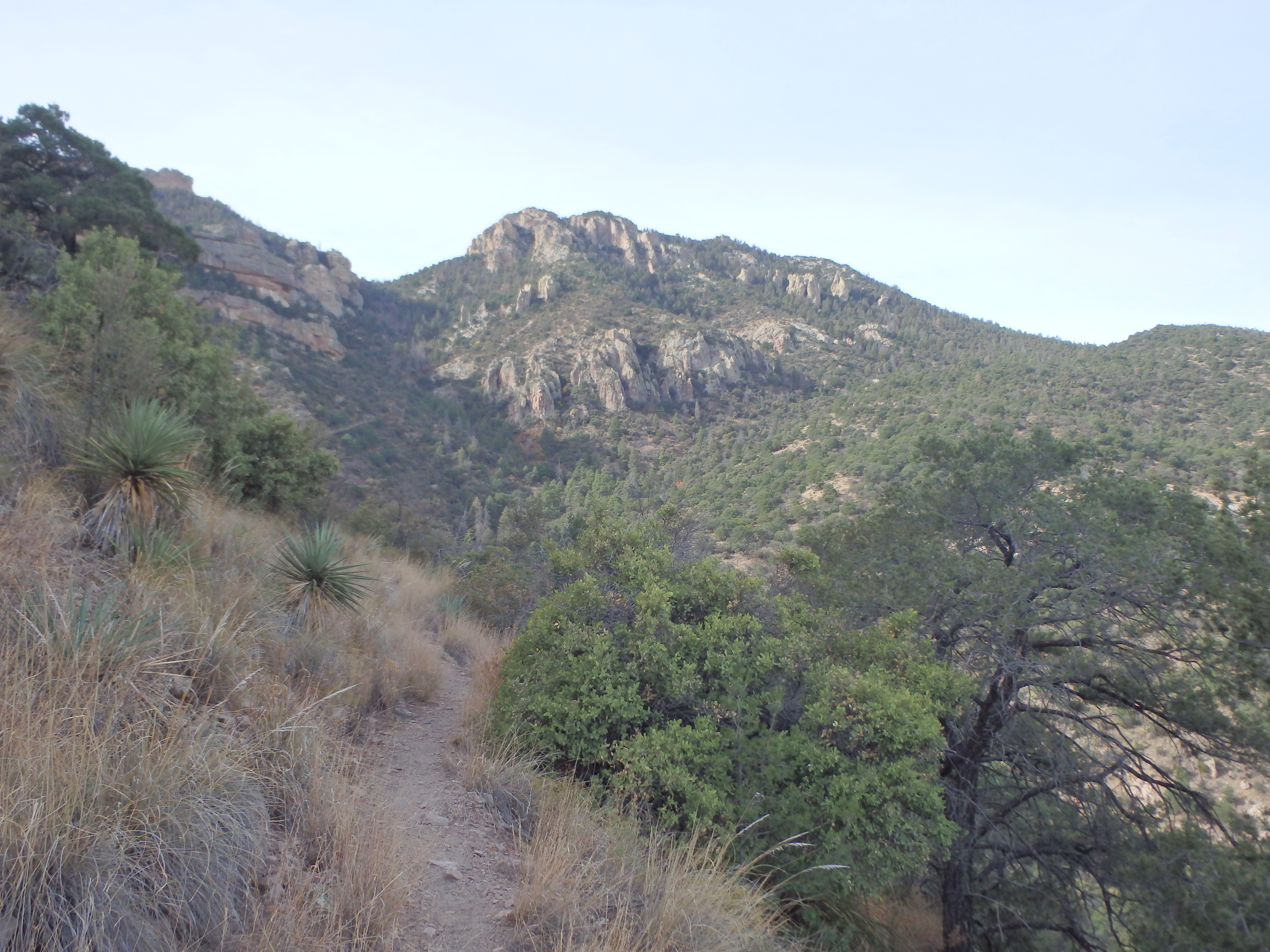
The trail headed in a generally north direction, switching when necessary to bypass cliffs en route. Each time it seemed I was going to re-enter exposed and sunny terrain, the trail would switch at the last moment, staying in shade until nearly the summit. At about 7,000′, I left the oak and chaparral behind for a healthy pine forest, various rock spires sticking through the tree tops. I took one final break before the last several hundred feet of switchbacks.
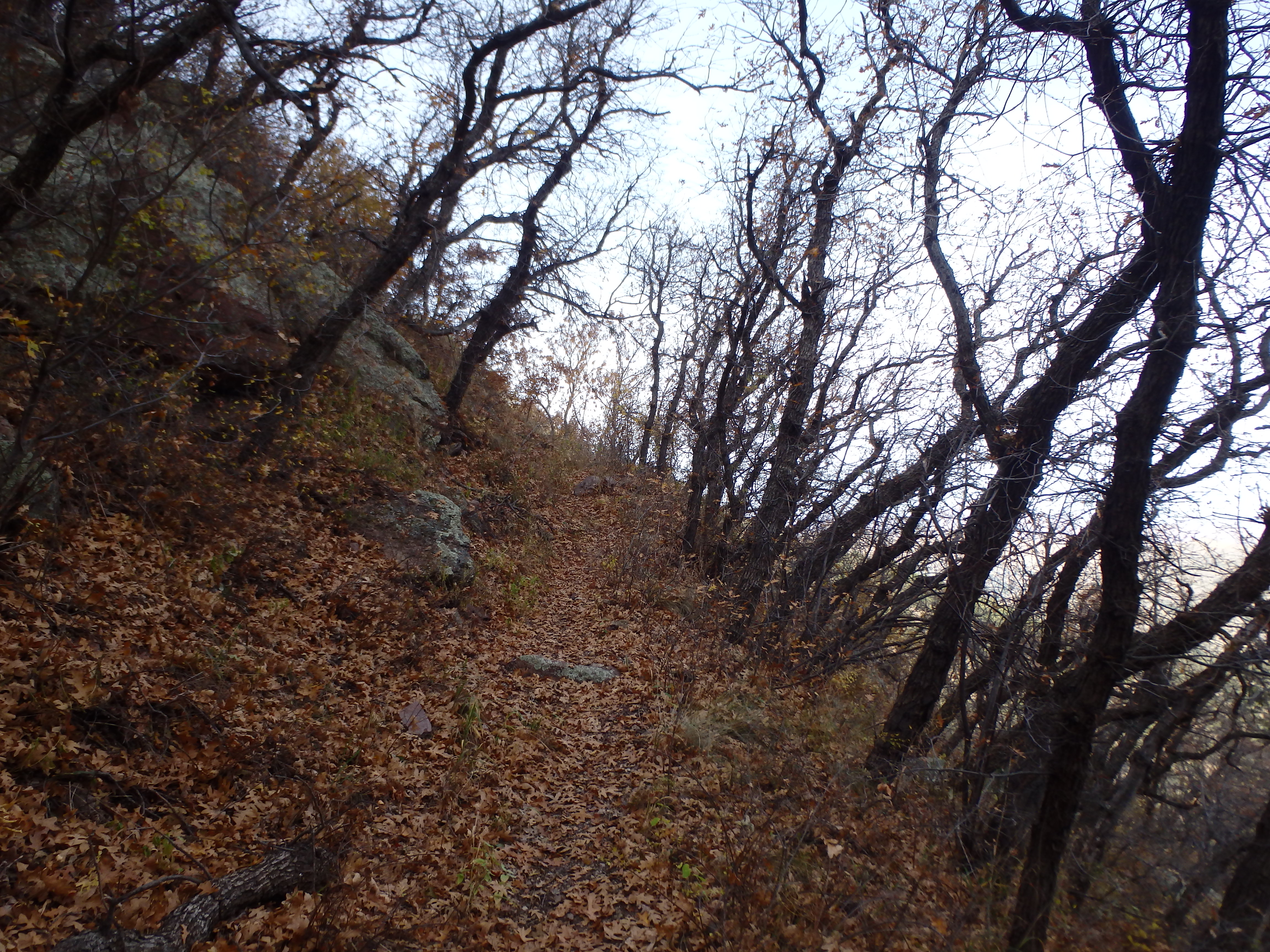
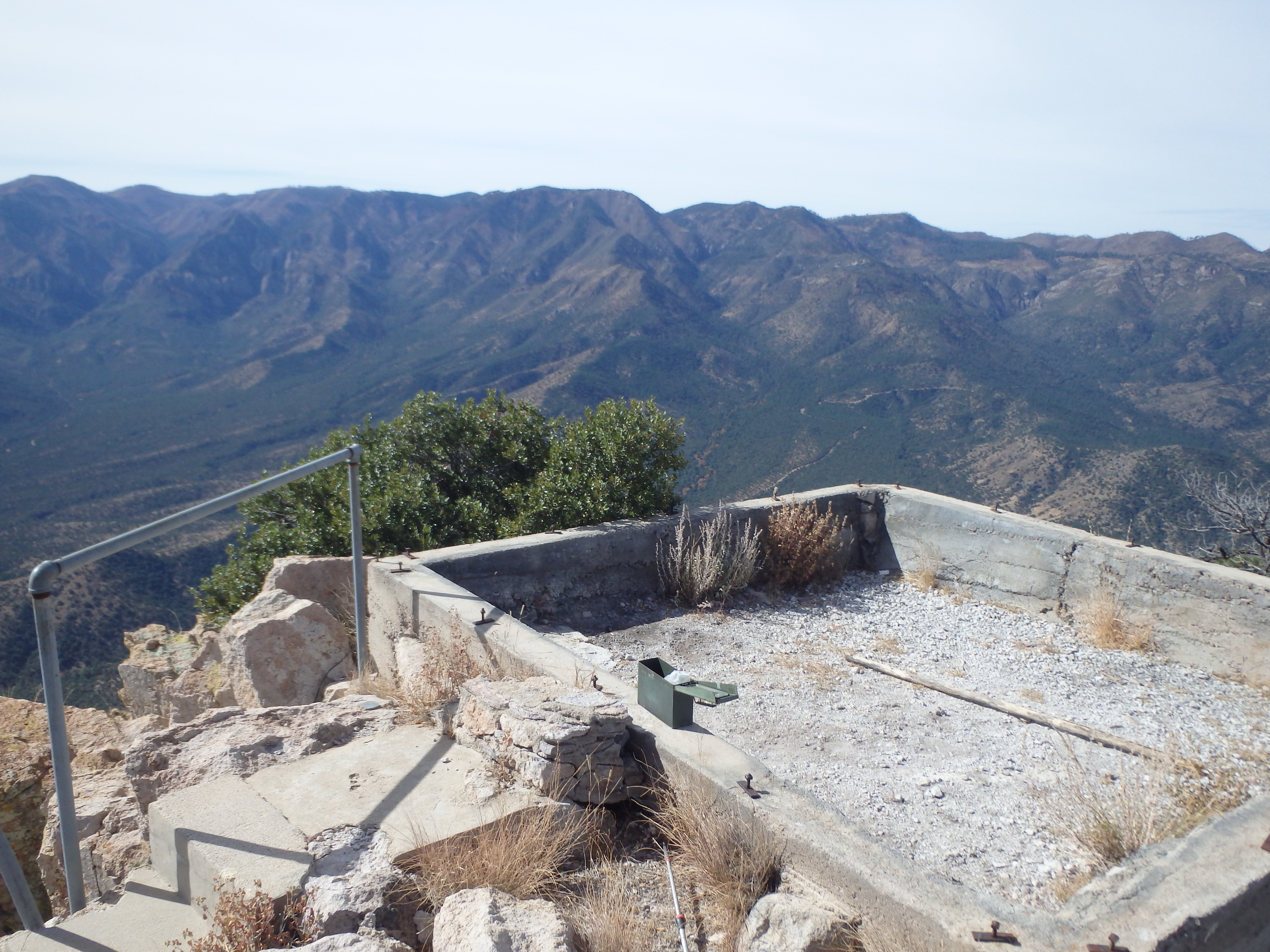
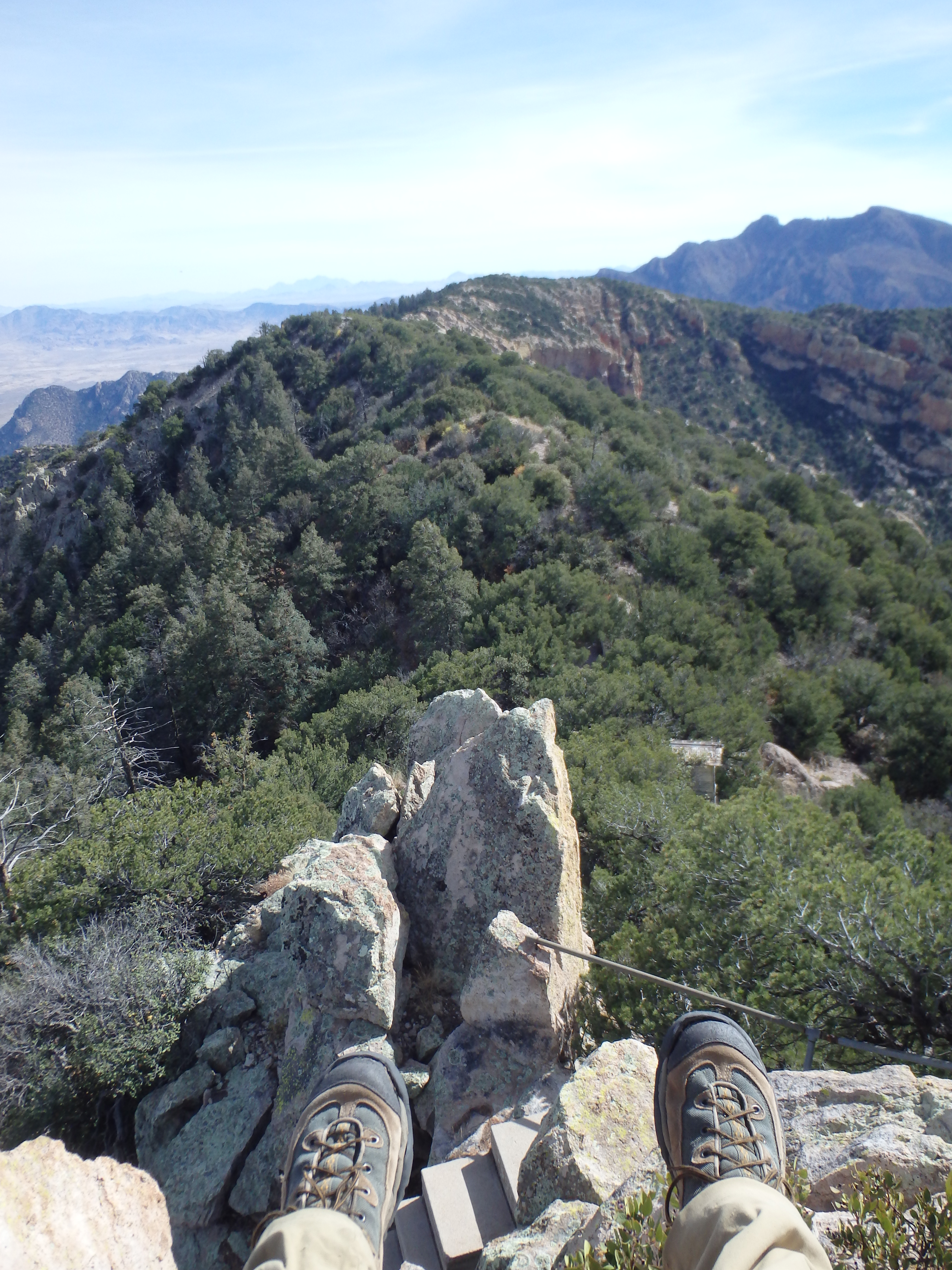
The entire trail was graded for mules for when the lookout was still in operation, and the last 1,000′ went surprisingly fast with the consistent grade. Reaching the summit plateau, I hit a locked storage shed in disrepair from the old lookout tower, with the ruins to the north. My GPS and map indicated the high point was at the south summit, and following a decent use trail, I reached the summit benchmark and a small register tucked in the stones.
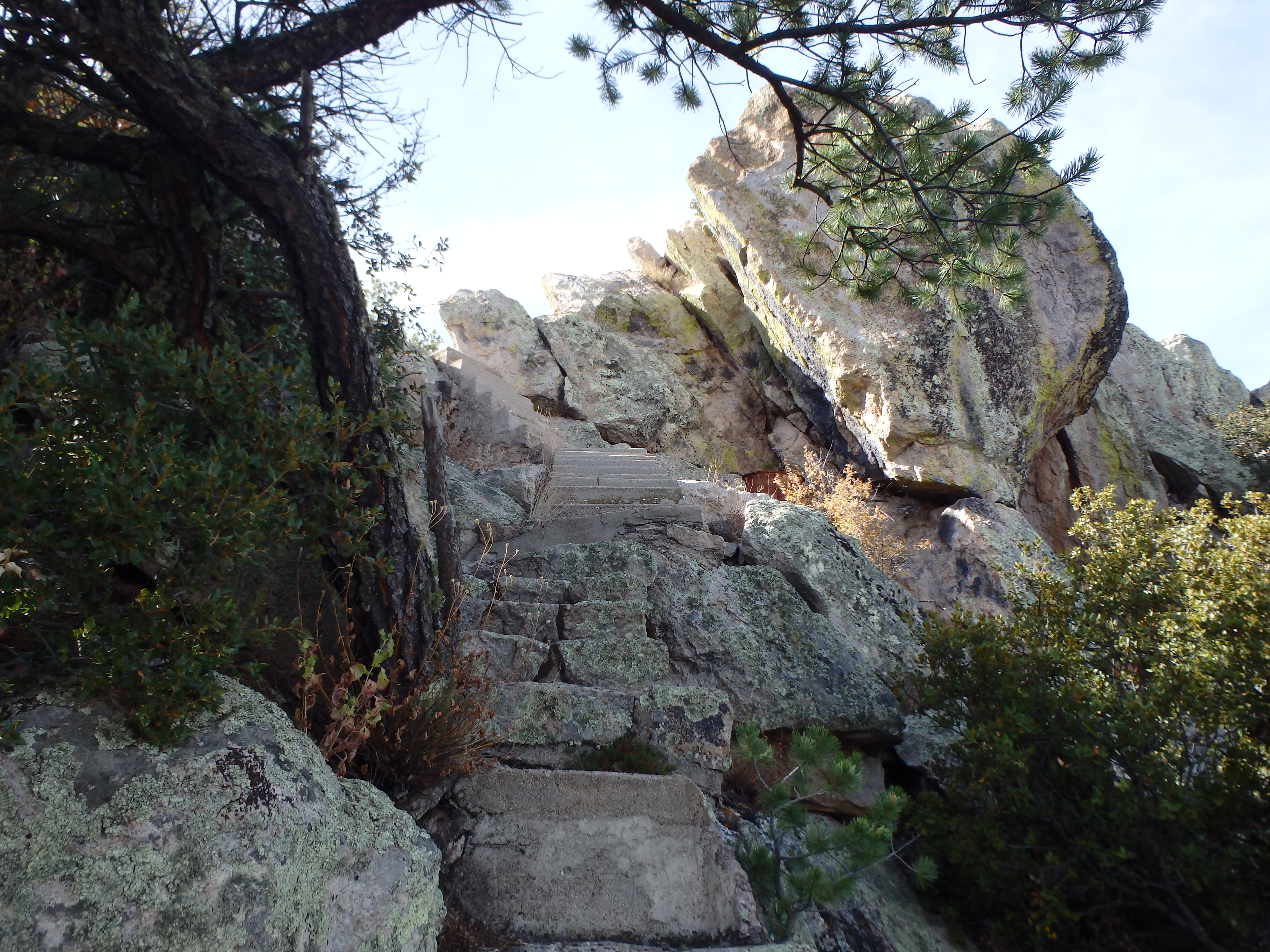
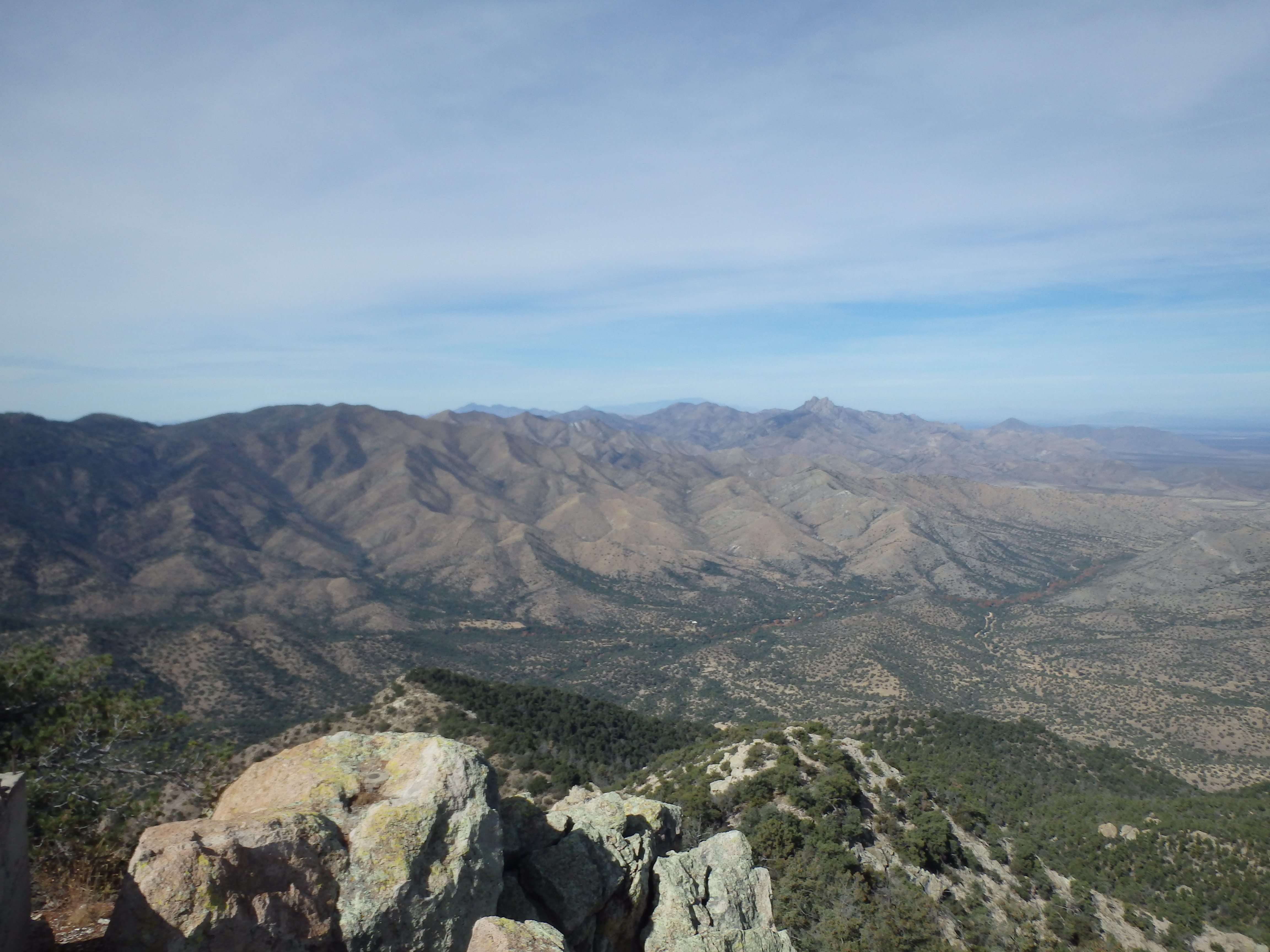
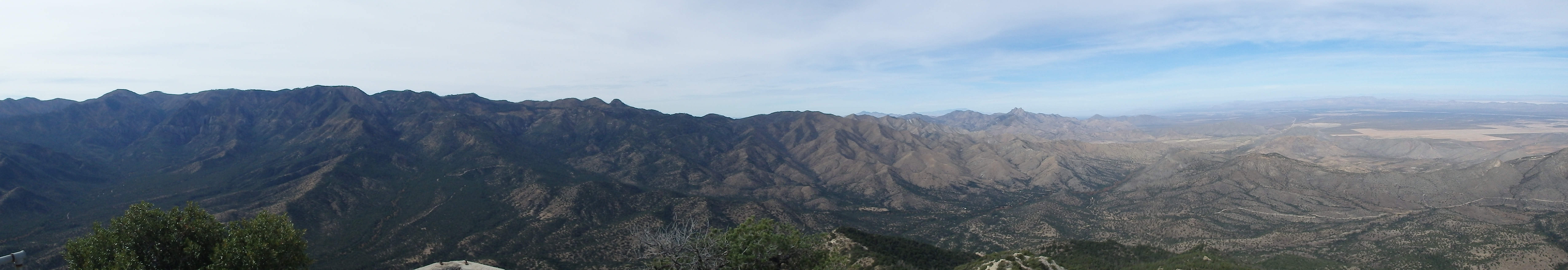
Looking back to the northwest, the rocks near the lookout tower were clearly higher, and would also make for a better lunch spot, so I headed back towards the trail. I was surprised as I headed up the trail to find cement steps heading up the steep rock to the lookout ruins, built atop the small pinnacle. The views were outstanding, and I climbed on top of the old water cache to take them in. The bulk of Chiricahua stretched to the west, with Cochise Head and Mount Graham to the north, a dozens of peak across New Mexico to the east. It was easily my favorite summit of the weekend.
It was obvious I wouldn’t have time for the Peloncillo Mountains highpoint, so I took my time at the summit before descending the rock spire back to the shed. With the sun a bit higher in the sky, I lost most of my shade for the return, but the descent wasn’t too strenuous. I made it back to my car at 2 PM, a little under 5 hours total round trip. From there it was a short drive into the town of Portal to pick up some snacks for the long drive home back to Phoenix.