
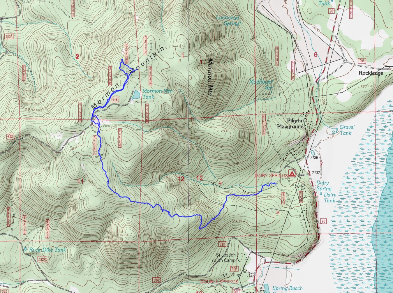
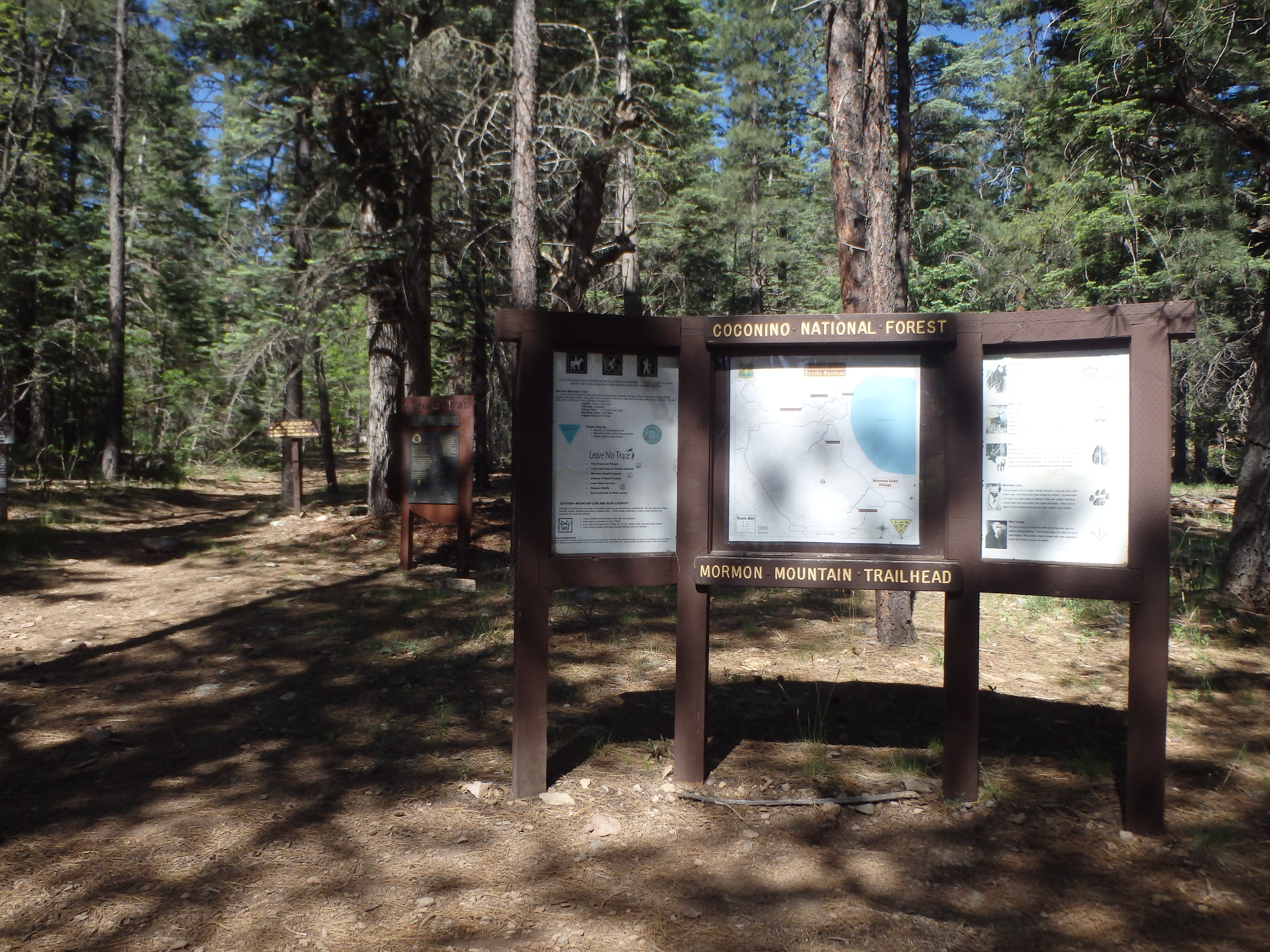
As the temperatures rise in the valley, one of the few nearby escapes from the heat is up to the Flagstaff area to higher elevations. While the main event for the weekend away from Phoenix was a hike up Humphreys, we were looking for a short hike to do Saturday morning before heading into town for the rest of the day. We were camping in Dairy Springs (a nice quiet campground) and after setting up camp, thought Mormon Mountain would make for a nice, easy hike. Mormon Mountain, similar to many of the other summits in the Flagstaff area, is an extinct volcano, heavily eroded and completely covered in trees. That being said it has over 1000′ of prominence and can be seen from many other peaks around Flagstaff to the SE. The trail to the summit starts off near the back of the campground, off a spur road near the entrance. There’s a fairly new sign at the trailhead with a map of the area and register for hikers.
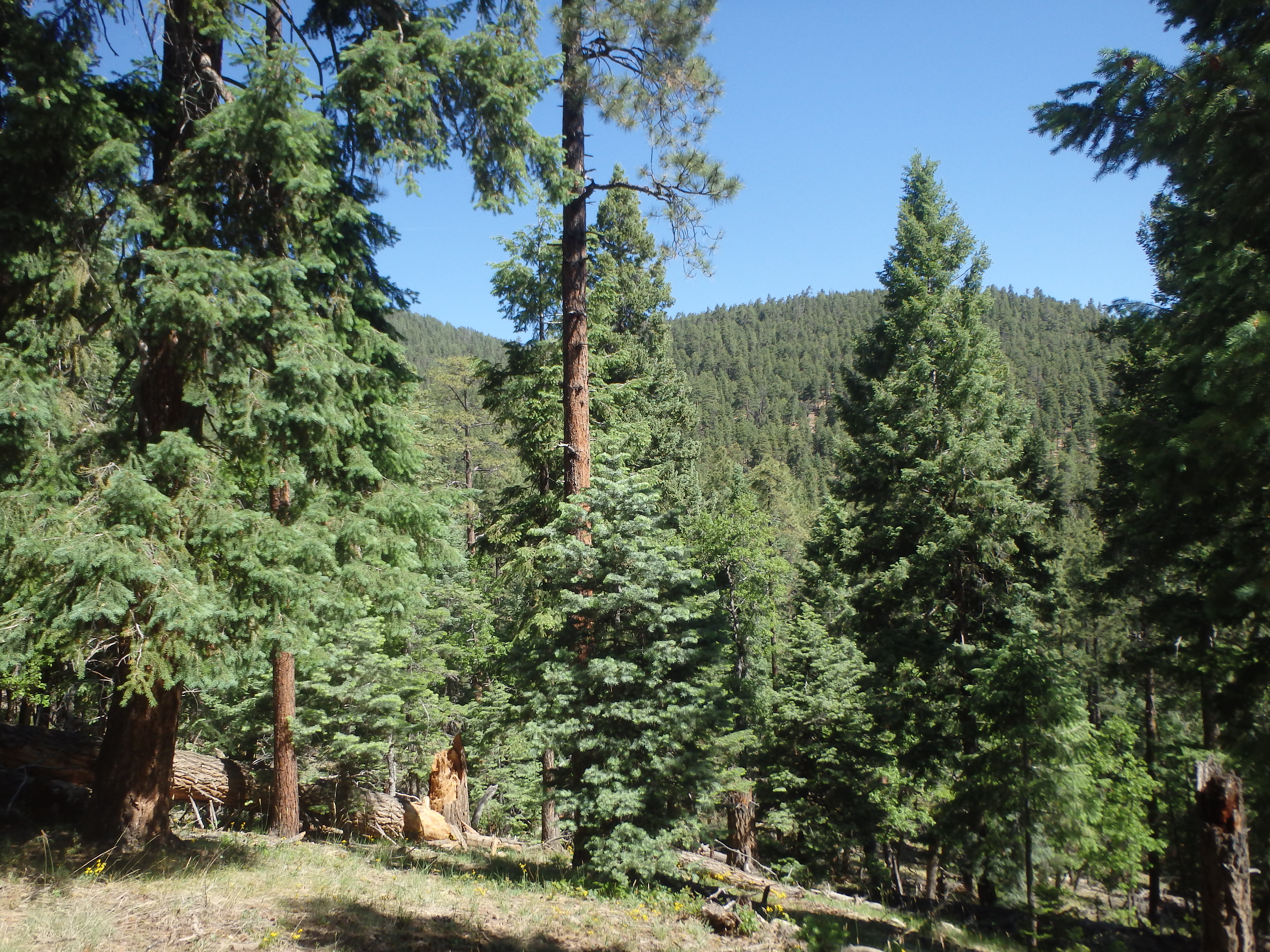
We started hiking the fairly modest grade through a well developed old growth pine forest, with occasional, partially obscured views to the almost completely dry Mormon Lake, the largest natural lake in AZ. The hike up was not really challenging or offer outstanding views, but was more of a pleasant, relaxing hike up through the pine trees.
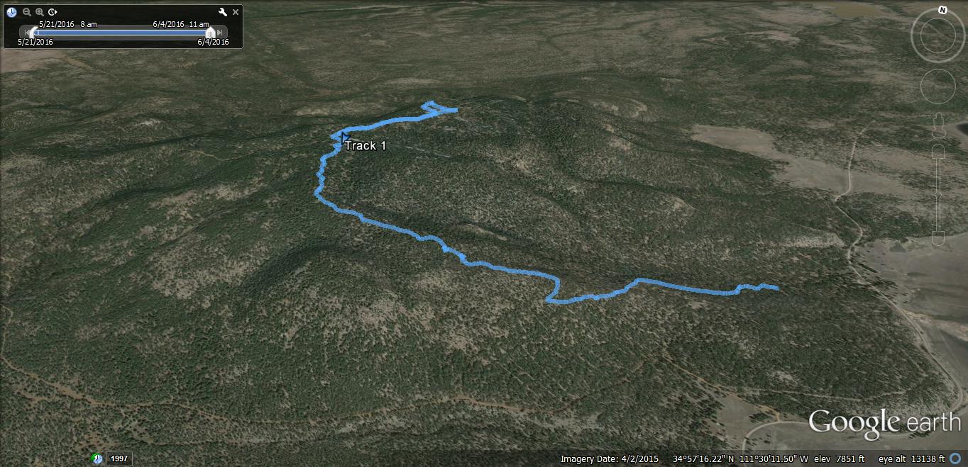
We passed one or two other people on their way down, but otherwise so no one as we made our way up. A few hundred feet below the summit, the trail ended in a meadow, and we walked cross country to the fire road that heads to the summit on the other side of the tree line.

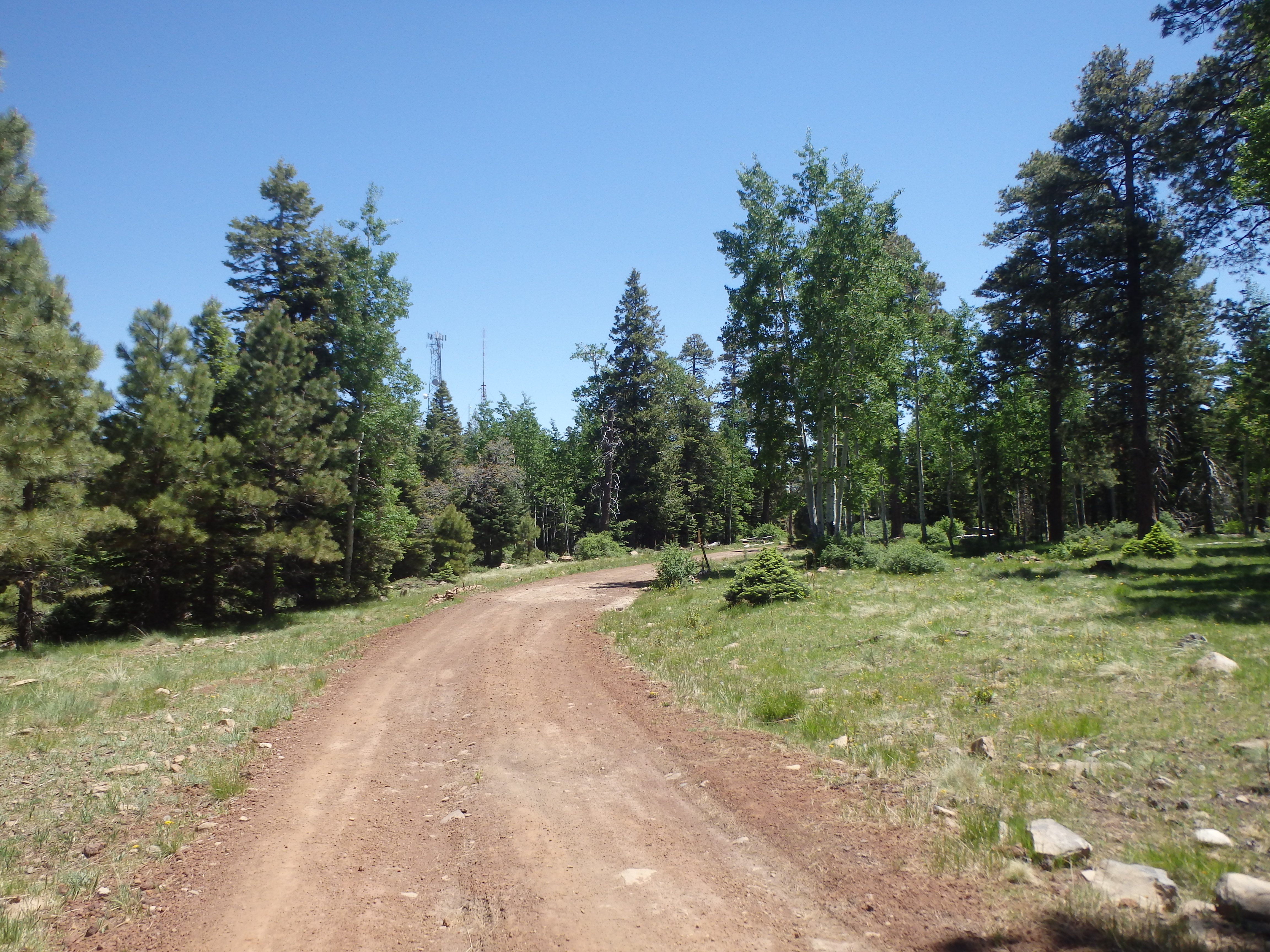
Once picking up the road, it was only another 0.25 miles to the summit tower installations. It quickly became apparent that we would have limited views, and found a pile of rocks to site near, trying not to be distracted by the hum of machinery around us. Looking at the map, to the NW of where the road ends is what we seem to be the true high point. I left the road and hiked fairly easy cross country to the true high point, adorned with a yellow triangular sign.

I looked very briefly in vain for a summit register, then quickly gave up with thoughts of lunch in Flag at the Hullabaloo Festival going on in town. We walked back down the road and picked up a use trail that cut directly to the meadow, avoiding the little bit of cross country travel we had left, and hiked the 1.5 hours back to the car. No where near as challenging or scenic as many of the hikes in the Flagstaff area, but if you’re looking for a nice, relaxing hike through pine trees, this fits the bill.