
Red Mountain 7,968′
Total Time: 3 hours
Roundtrip Mileage: 4.4 miles
Elevation Gain: 1,400′
Trailhead: Red Mountain Trailhead, no services
Companions: Holly, Brian Joseph


Red Mountain in Northern Arizona is a bit of a geologic mystery. A part of the western San Francisco Volcanic Field, the 740,000 year old Red Mountain is a cinder cone I’ve often admired on the drive towards the Grand Canyon. Unlike the many other cinder cones and volcanoes in the range, Red Mountain has a distinctive red rock caldera, with spires and hoodoos in a dramatic amphitheater. Geologists have been unable to ascertain how the amphitheater formed, with theories ranging from a “pressure cooker” like process where mineral rich rain water combined with the hot magma, or super heated steam vents blasting out the side of the cone. Regardless of the origin, the mountain and it’s namesake Red caldera are quite striking and would make for a nice objective on our way back from the Grand Canyon. We parked at the the named Red Mountain trailhead off Route 180 and started up the trail.


Hiking to the southwest, the trail angles towards the mountain’s amphitheater, offering visitors an up close look at the mountain’s unique geology. The summit itself is trailless, and as the walls of the caldera began to close in around us, we left the trail for the northern slopes.

The brush was thin by Arizona standards on the loose slopes, and we wove around small Pinyon Pines as we climbed. The grade steepened as we ascended and the slopes a bit more loose higher up. We traversed west to avoid a small false summit en route, and had to cross a narrow drainage. This was the sketchiest portion of the climb, with small loose volcanic pebbles making ascent difficult as we cautiously moved across the slope.

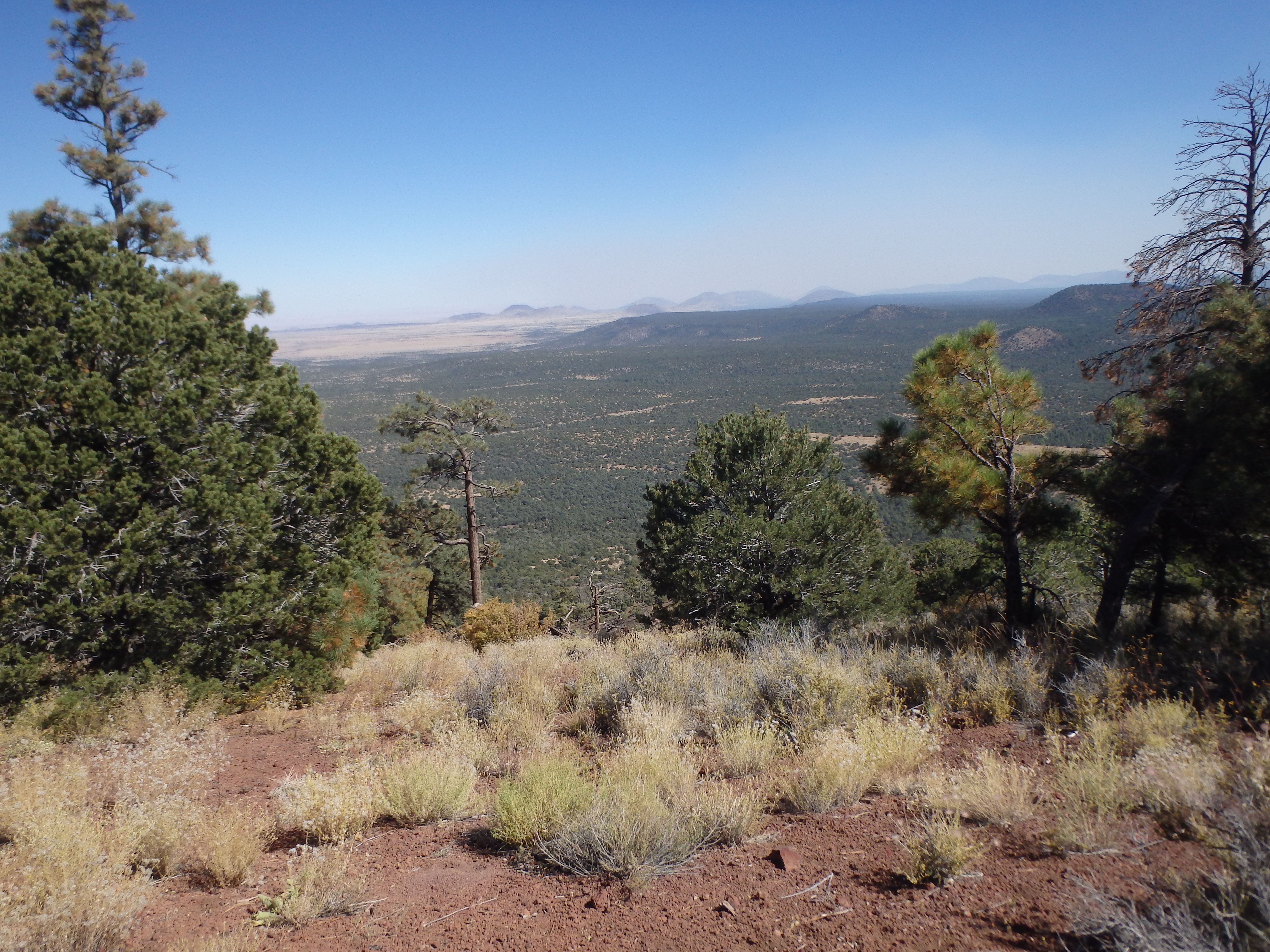
But we quickly found traction on grassy slopes near the summit ridgeline. We were on the wrong side of the summit ridge/ caldera rim from the true high point, but it was easy hiking through the thin grass and tall pines to the highest point on the southeast side. There was no cairn, benchmark, or any sign of another ascent (although I’m sure there have been many), and we sat down to rehydrate and enjoy the increasingly smokey views, with a large fire to the south in Coconino National Forest.


None of us were really looking forward to the loose traverse we dealt with on the ascent, and we decided to turn the hike into a loop and drop down the eastern slopes. After an initial brushy 100+’, we emerged on a fairly open slope along the amphitheater rim, giving us some of the best views of the red hoodoos on the day.


The angle wasn’t the best to enjoy the hoodoos, but it did add an interesting feature to the summit. About 1/4 of the way down, we spotted a full elk skeleton including two huge jawbones. We looked around the slope to find the other pieces scattered about by coyotes and vultures, but were never able to locate the skull.


That diversion aside, we continued down the slopes, one narrow drainage separating us from the main rim. Rather than have another loose traverse to get back to the rim, we maintained our line downslope and didn’t readjust to the north until we were nearly on level ground.

Once back at the base, it was easy cross country hiking through the forest back to the car, using my GPS to try and hit the trailhead as close as possible. Back at the car, we drove to Flagstaff for dinner (Sosoba) and beers to cap off the end of a successful birthday weekend.