
Mount Adams 12,280′
Pacific Northwest
Total Time: 8:15
Distance: 12.2 miles
Elevation Gain: 6750′
Crux: PD-
Trailhead: Mount Adams South Side Trailhead- pit toilets


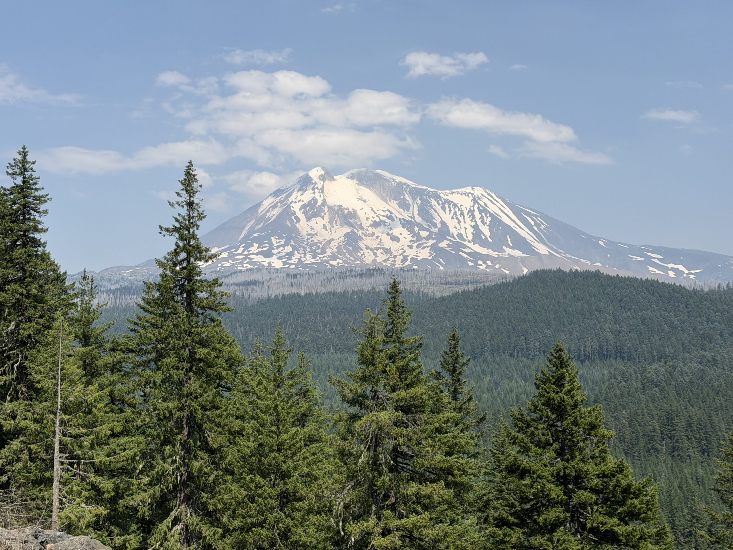
Mount Adams is the second-highest mountain in Washington and the third-highest in the Cascades, after Mount Rainier and Mount Shasta. Despite its size, the standard South Spur route is technically easier than many of the smaller summits in the range, following a straightforward, crevasse-free snow climb directly up the south slopes. It would be my second of five volcanoes on the trip and serve as a good introduction to Washington snow travel, as well as another opportunity to acclimatize before Rainier a few days later.
I woke up at 2:30 AM at Justin’s house in Portland, a little more sore than I had hoped after climbing Mount Washington the day before. By the time I had coffee, breakfast, and completed the three-hour drive to the trailhead, the sun was beginning to rise in the east. With the upper half of the route entirely on snow, I worried I was starting a bit too late and that the slopes would have already softened enough to make for tedious climbing. Fortunately, a layer of clouds kept the snow firm while also providing welcome shade through the burn scar near the trailhead.
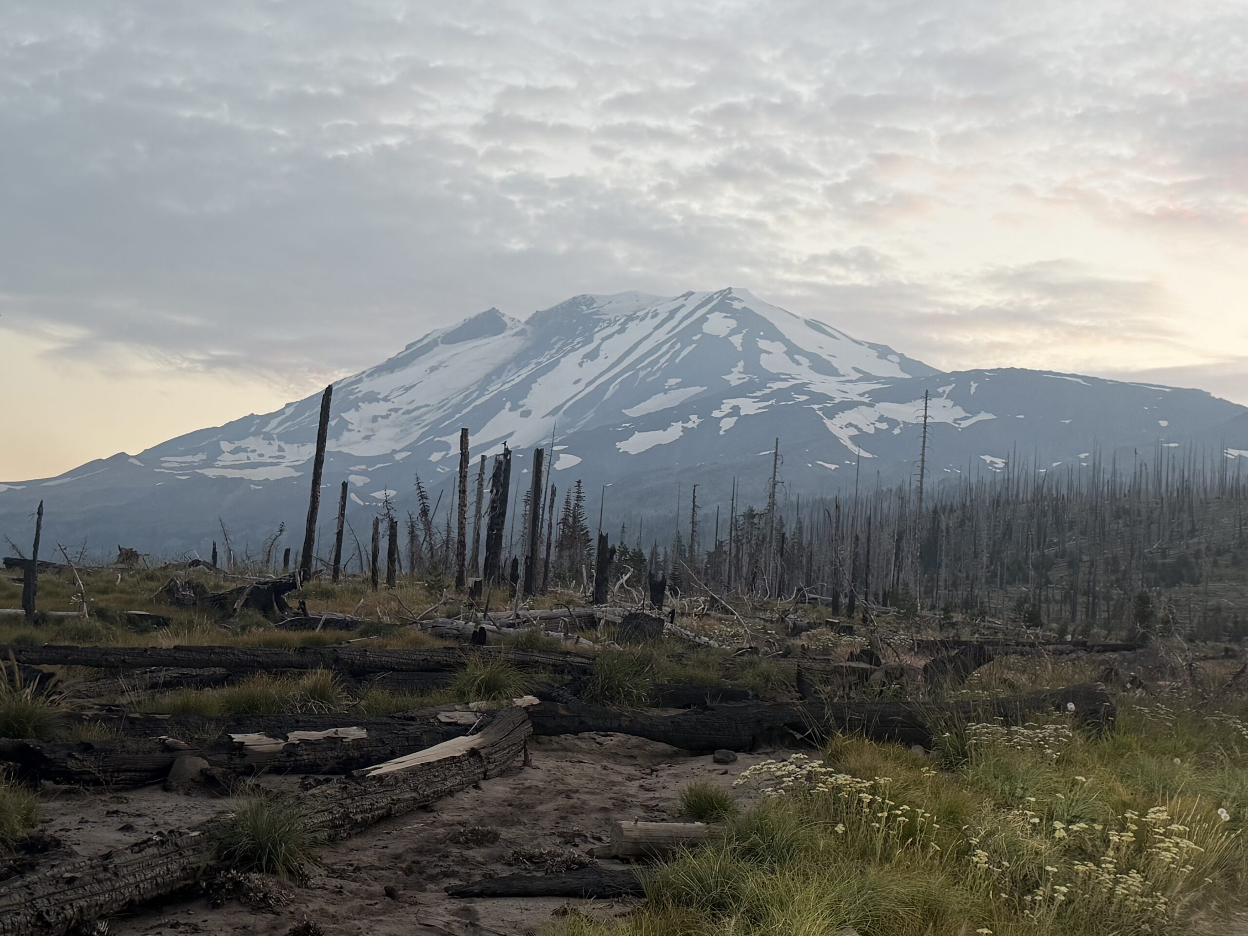
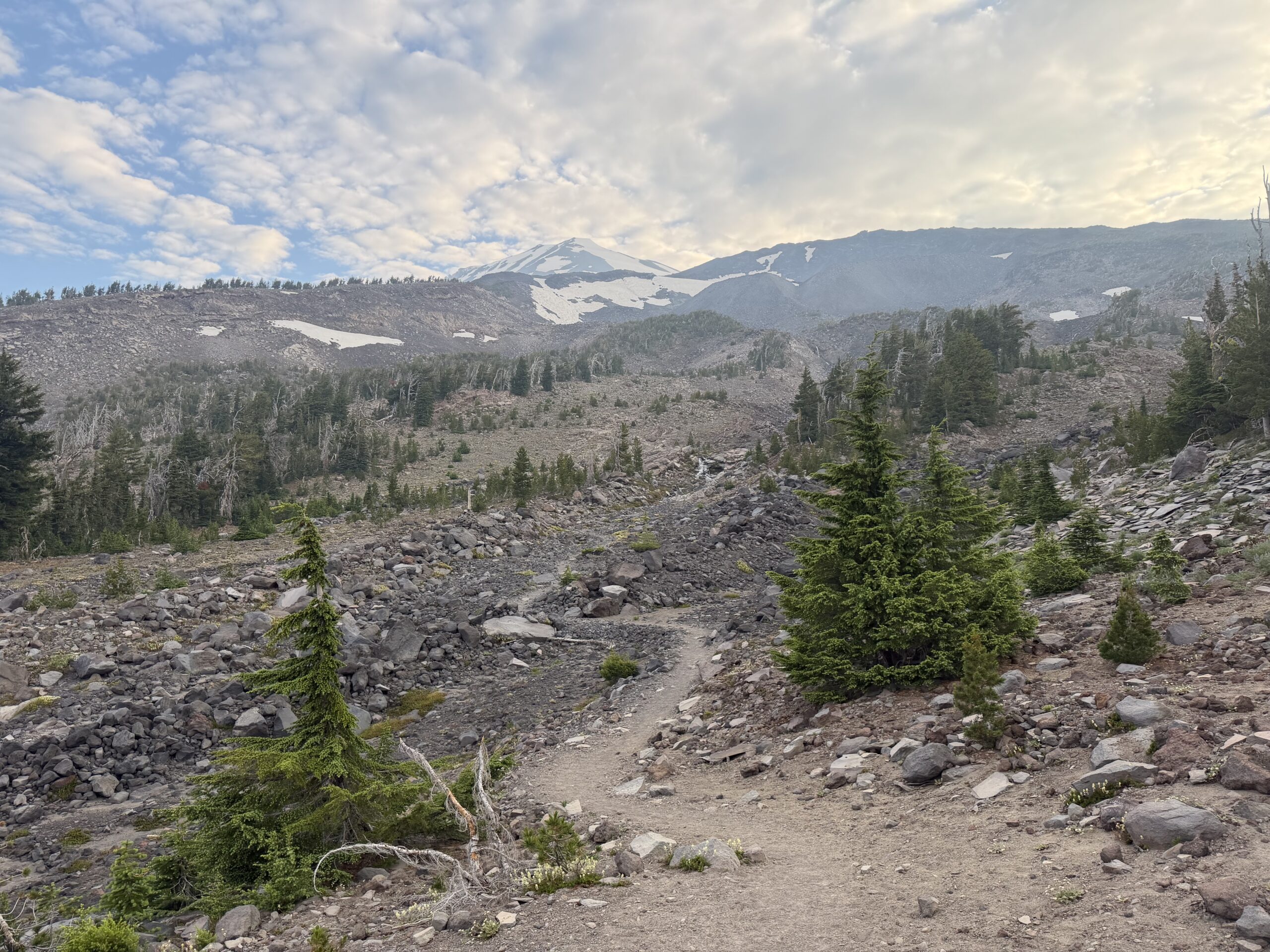
It wasn’t long before I passed the first of many parties on the route, overtaking them at Morrison Creek, a little over two miles, 1,200 feet, and 45 minutes into my day. It made me feel better about my late start, and I passed a family of three shortly thereafter. The trail climbed onto a ridge skirting the Crescent Glacier, and I followed it to around 8,300 feet, where I stopped to put on crampons. I actually had enough reception to FaceTime Holly and Avery to wish them a good morning, chatting with them over breakfast as I steadily climbed the low-angle upper slopes of the glacier.
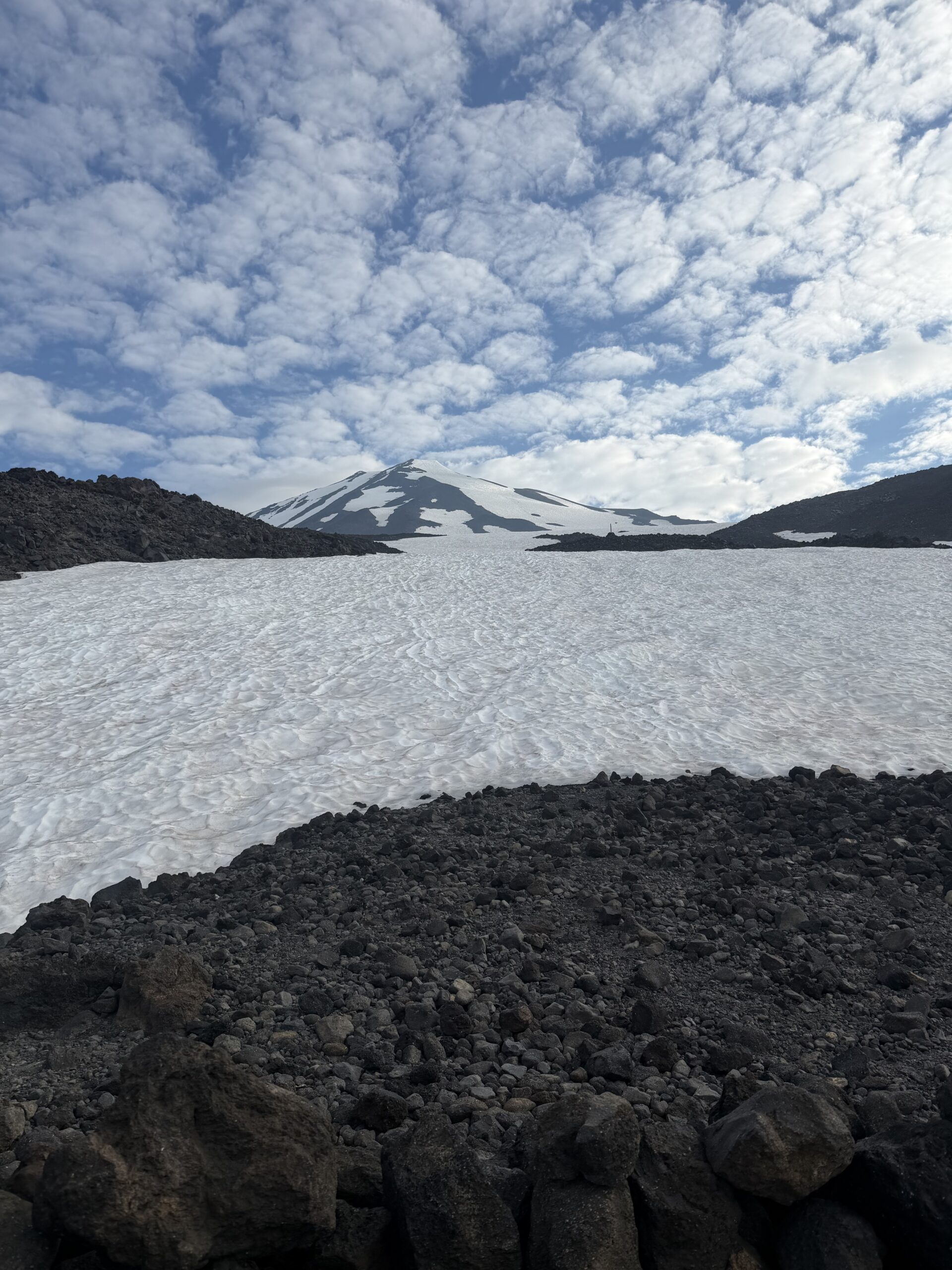
I hung up as I approached the Lunch Counter, a broad bench at roughly 9,400 feet where many climbers camp before a second-day summit attempt. The slopes above were dotted with climbers, and after a short break I continued up the snowfield on Suksdorf Ridge. By mid-morning, the clouds had begun to break and the snow had softened slightly, though the well-established bootpack from hundreds of climbers earlier in the season made for easy travel without any postholing.
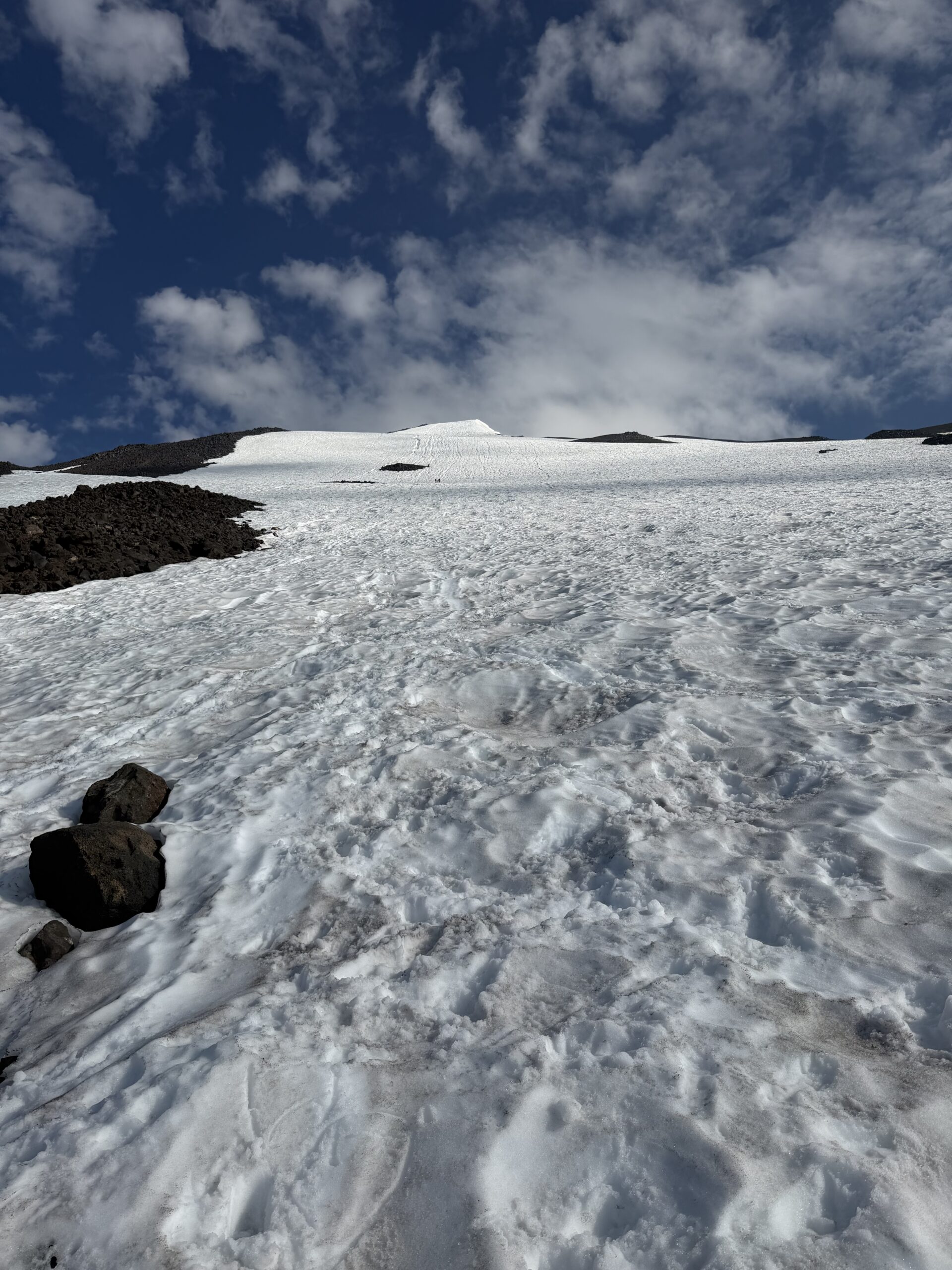
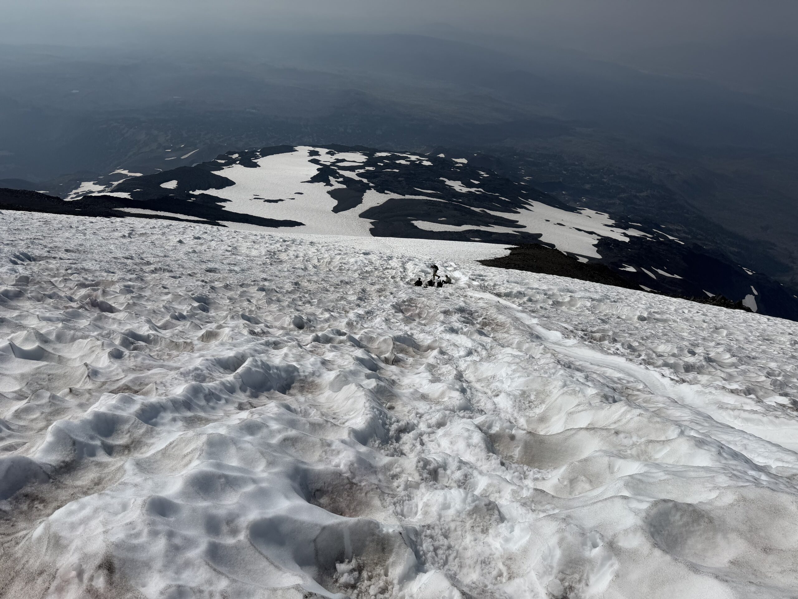
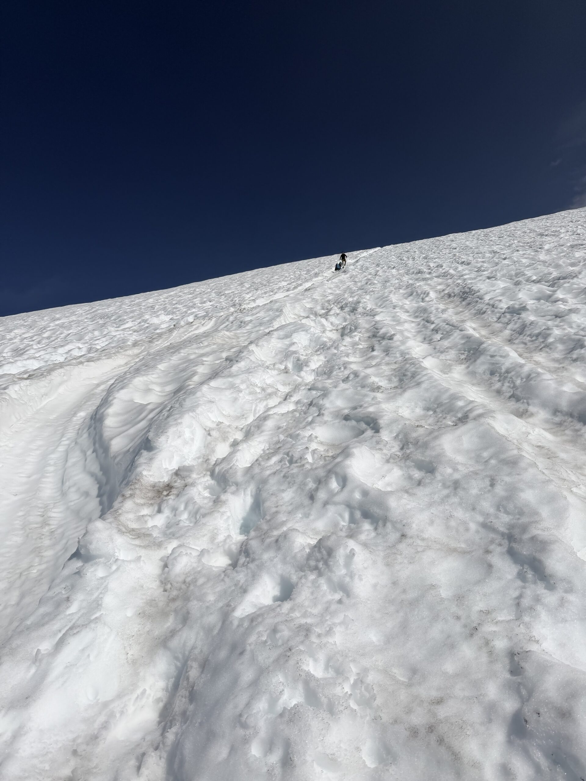
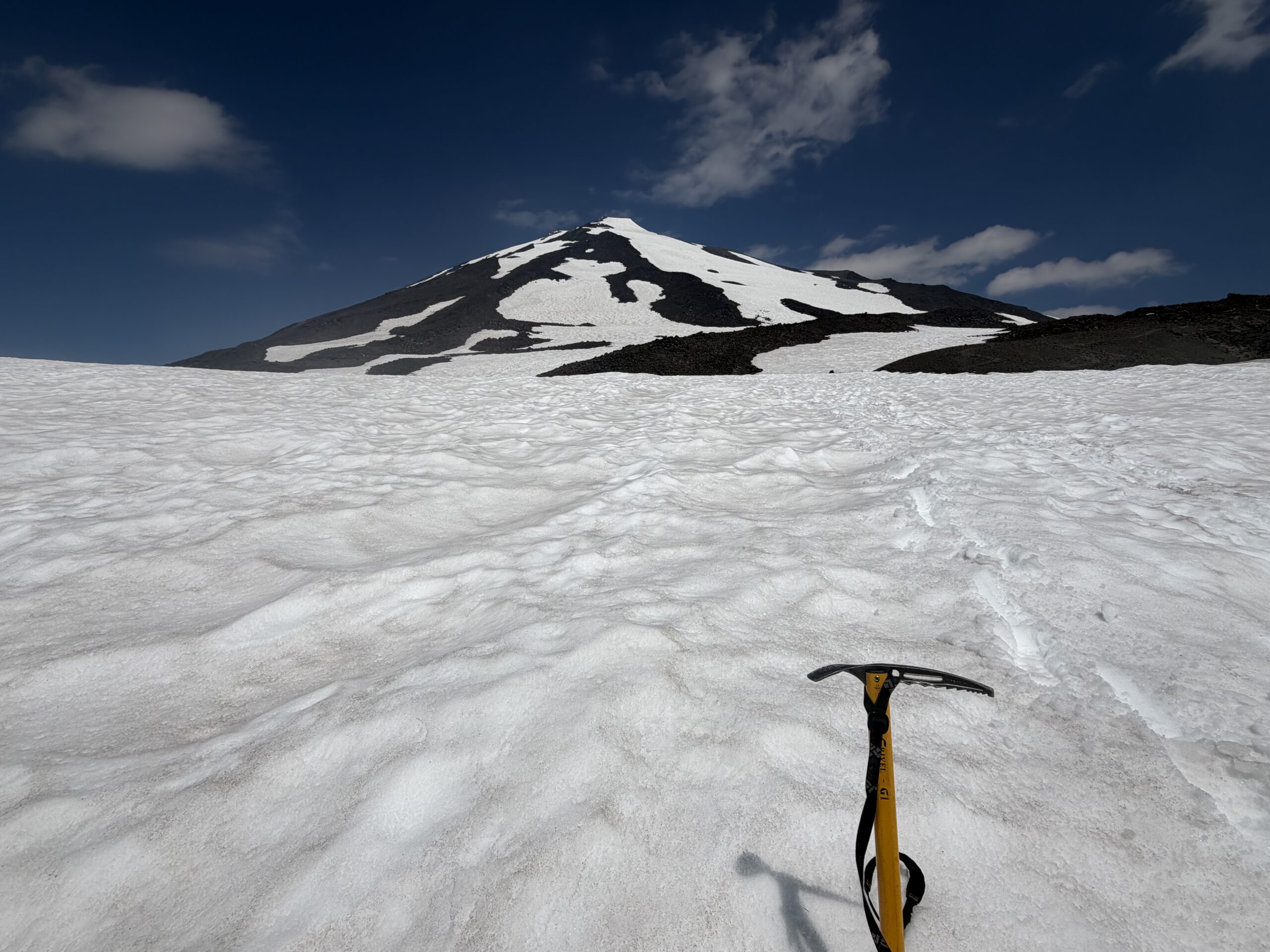
A steeper section about halfway up provided an opportunity to pass several more groups, including a party of five just below Pikers Peak, the prominent sub-summit south of Mount Adams. The route gained a shallow notch just west of Pikers Peak, where I caught my first unobstructed view of the true summit since the drive in that morning. A dozen climbers were scattered across the final slopes, and from a distance it looked like everyone was moving at a crawl through soft snow. Rather than follow the standard bootpack, I angled more directly up the south ridge, hoping it would offer firmer footing than the southwest-facing slope. High above the saddle, a large bergschrund marked the head of the Klickitat Glacier, though it was easily avoided by traversing onto bare rock to the left.
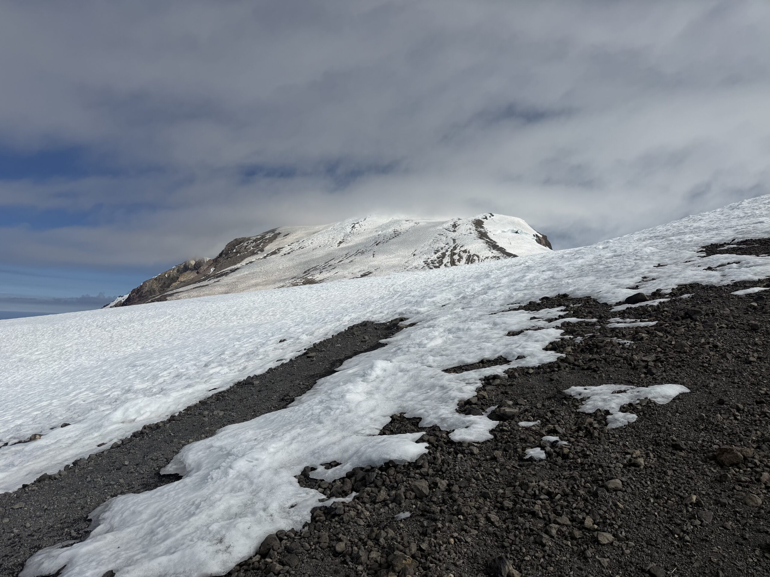
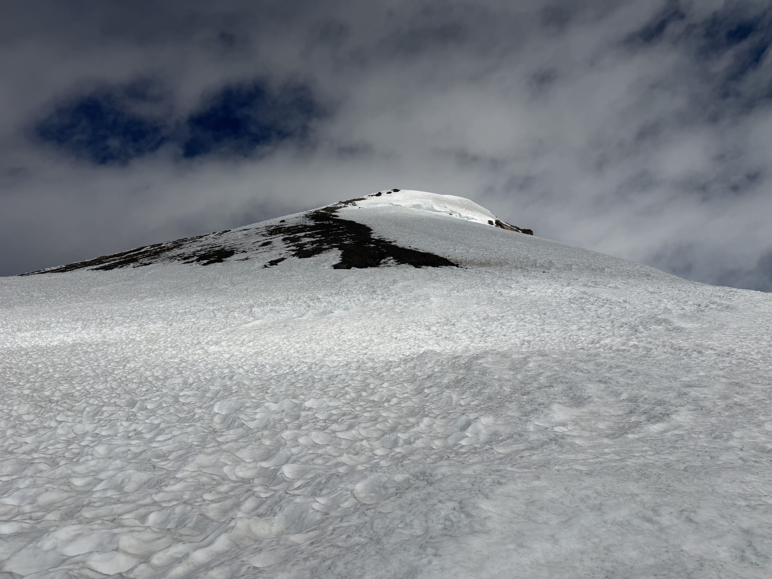
Whether my variation actually saved any time is hard to say. The final 800 feet were the slowest of the day, each step up the loose snow and scree sliding back just enough to make the climb feel earned. After a little under an hour from the saddle below Pikers Peak, I finally stepped onto the summit.
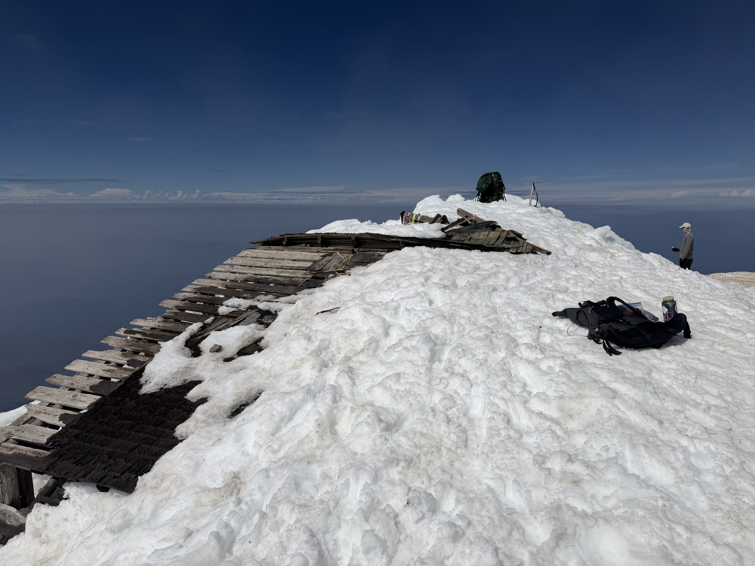
I first visited the old summit lookout site, its ruins half-buried in snow. The lookout was only in service from 1921 to 1924 before briefly returning in the 1930s during a short-lived period of sulfur mining near the summit. Sitting on one of the old boards, I enjoyed a summit sandwich while smoke from fires in northern Oregon and southern Washington muted the views in every direction. Through the haze I could just make out the outline of Mount Rainier to the northwest and Mount Saint Helens to the west, while Mount Hood disappeared entirely into the smoke.
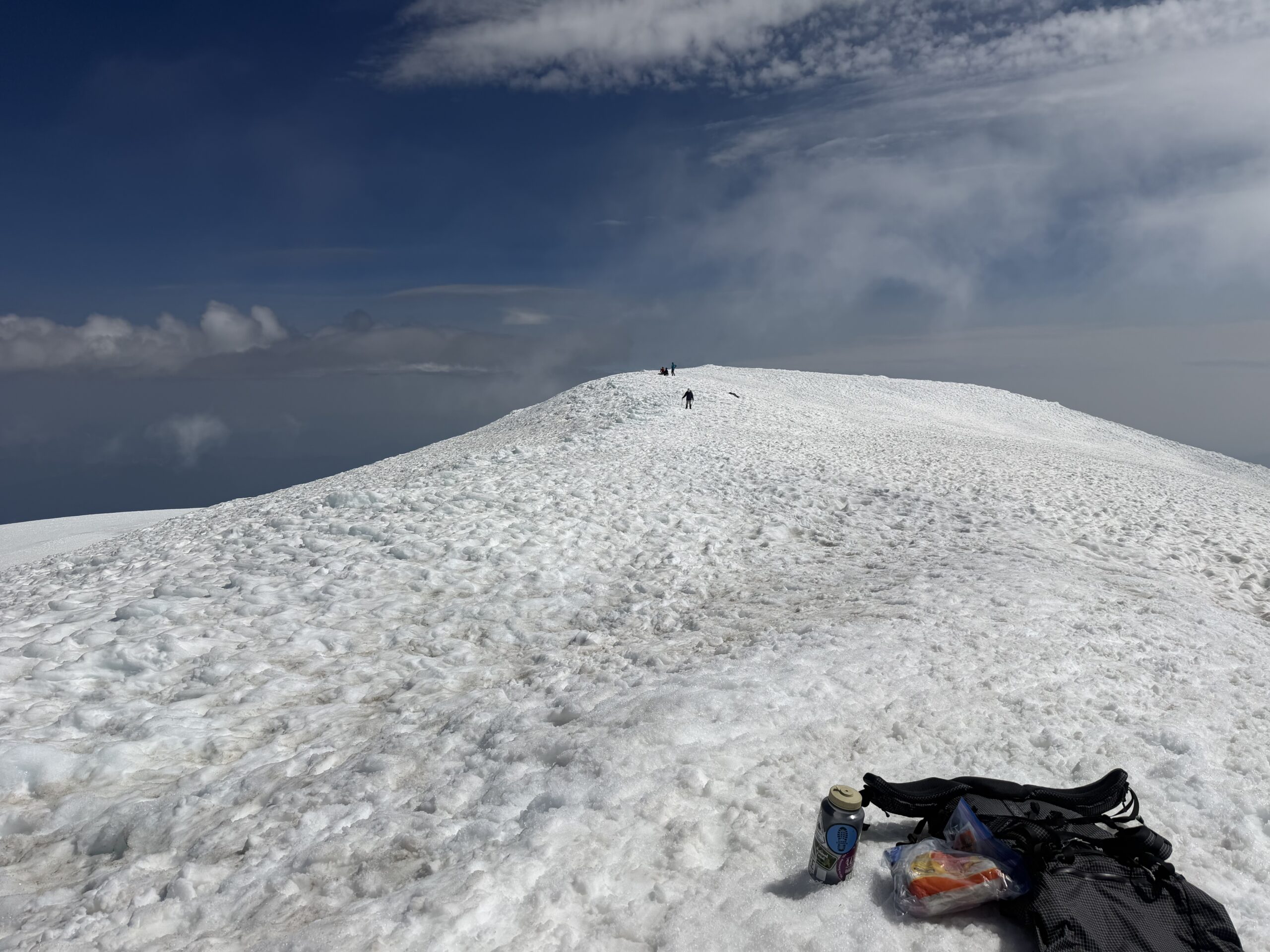
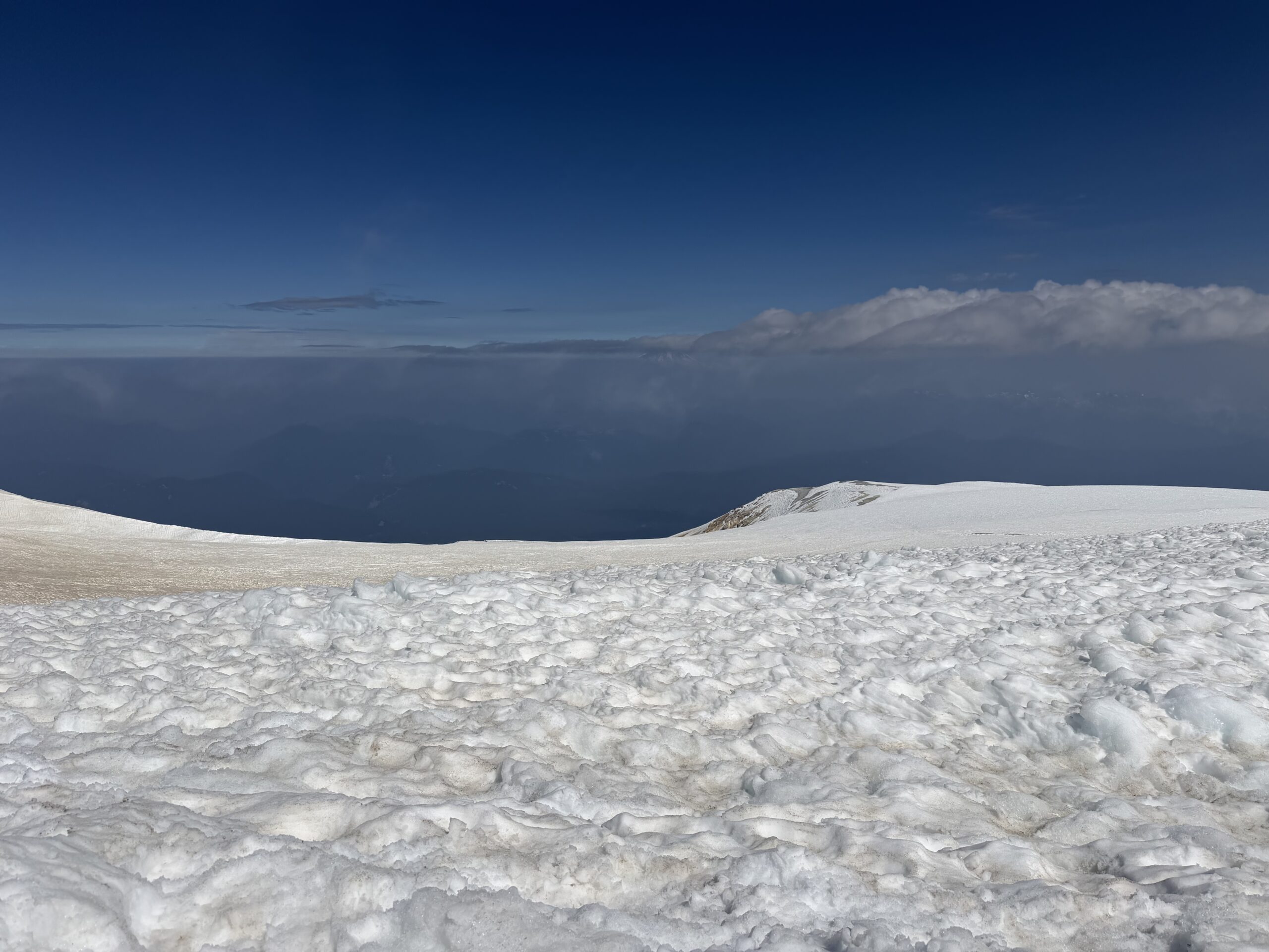
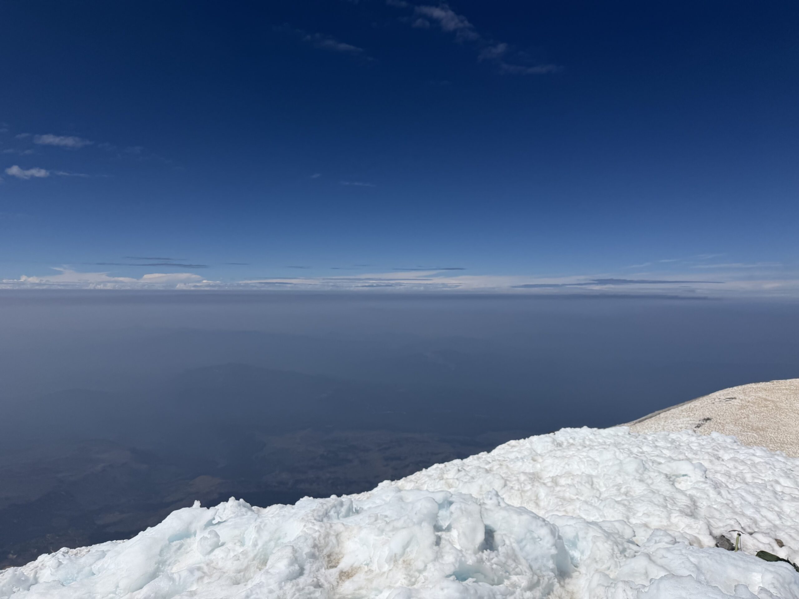
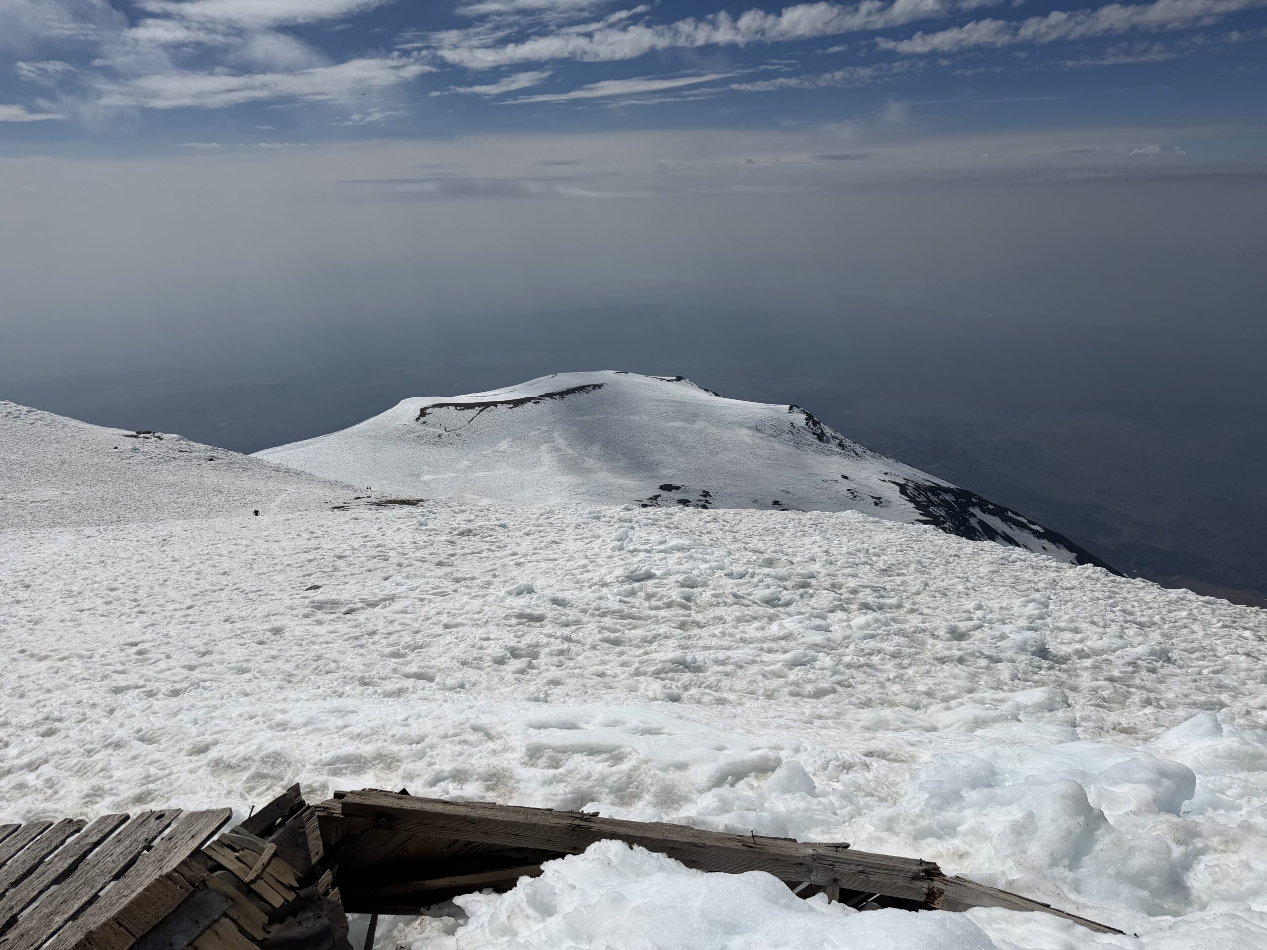
After lunch, I walked the short distance to the true summit, about 100 feet northeast of the lookout, before removing my crampons and beginning the descent. By midday, the snow had softened into perfect boot-skiing conditions. I followed the bootpack down toward Pikers Peak, where a line of climbers had formed at the top of the glissade chute descending Suksdorf Ridge. The run dropped nearly 2,000 vertical feet to the Lunch Counter, and after watching a pair descend earlier in the day, I volunteered to go next so everyone else could watch. Using my ice axe as both rudder and brake, I quickly accelerated down the mountain. I wasn’t wearing waterproof pants, and before long my butt was soaking wet and ice-cold. Even with a few stops to regain feeling, I covered the entire 2,000-foot descent in about 20 minutes.
The Crescent Glacier wasn’t quite steep enough to glissade, but it was perfect for boot skiing. I retrieved my cached trail runners but waited to put them on, instead taking a shortcut down a finger-like projection of the glacier that cut off a long switchback and brought me back to the trail just above Morrison Creek.
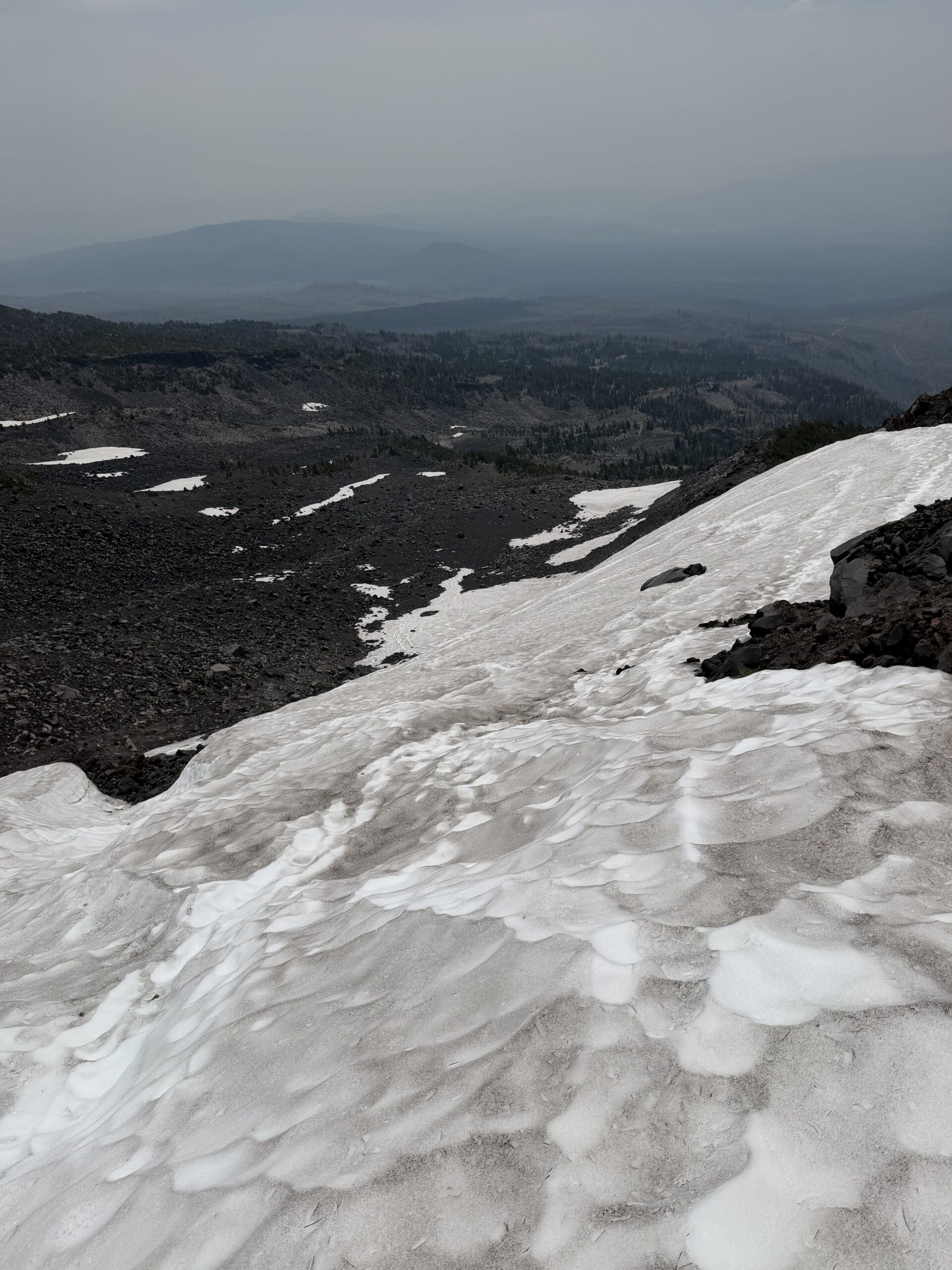
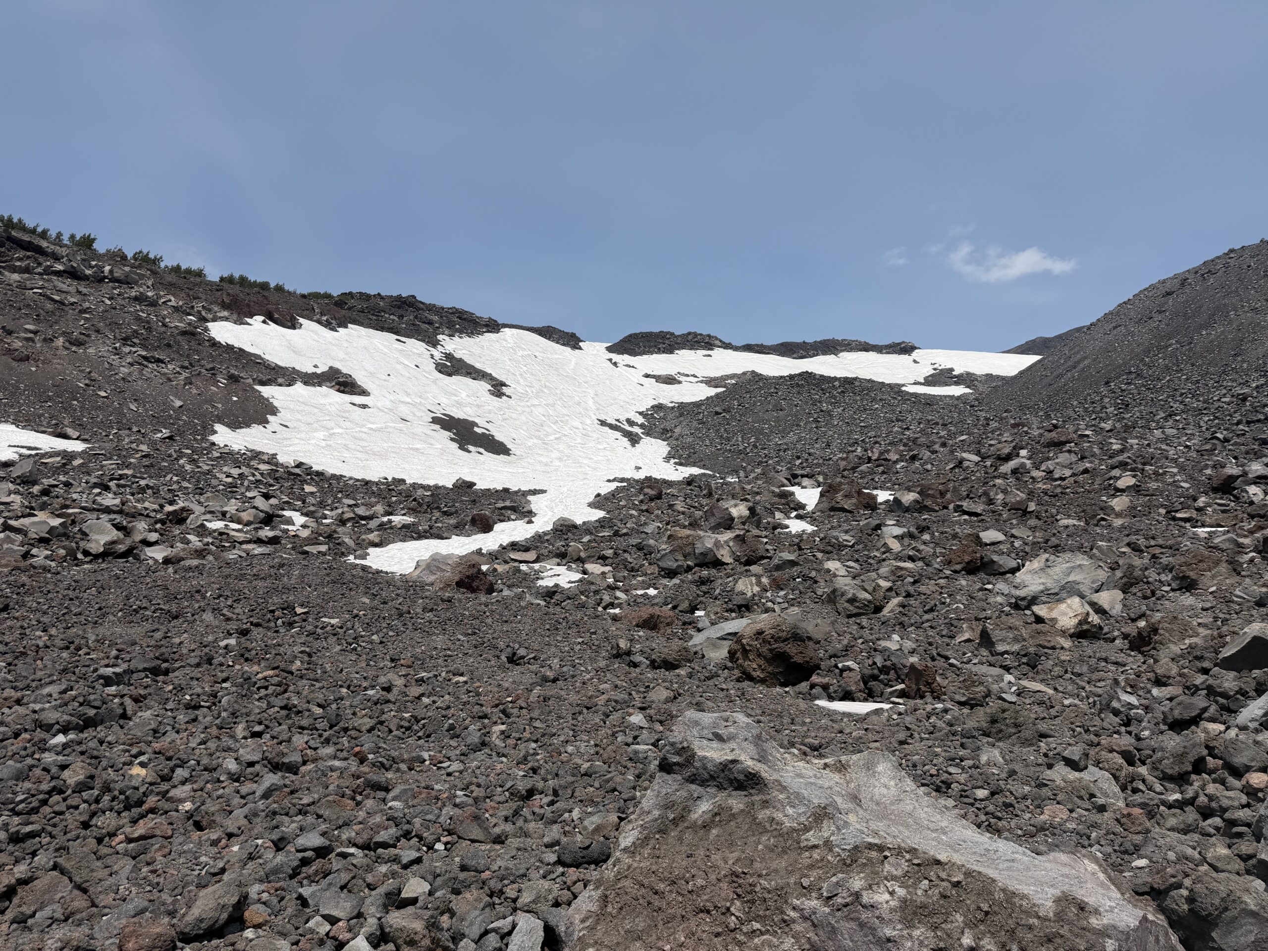
After filtering a liter of water, I continued down through the now sun-baked burn area and reached the trailhead around 2 PM. The 6,700-foot climb and descent had taken a little over eight hours. As I drove north through Gifford Pinchot National Forest toward Packwood, I reflected on how well the day had gone despite the late start. Adams had been exactly what I had hoped for: a long but straightforward snow climb, valuable practice moving efficiently on Washington volcanoes, and a welcome confidence boost before the main objective of the trip—a single-day solo push of Mount Rainier after a well-earned rest day.
Nicely done and great report, I really enjoy how you present the information… thanks for sharing and best of luck (and skill) on Rainier!
Thanks for reading Rainier report will be out next Friday!
Chris:
Great stuff! I enjoy all your trip reports!
Thank you so much!
Awesome job! Sounds spectacular.