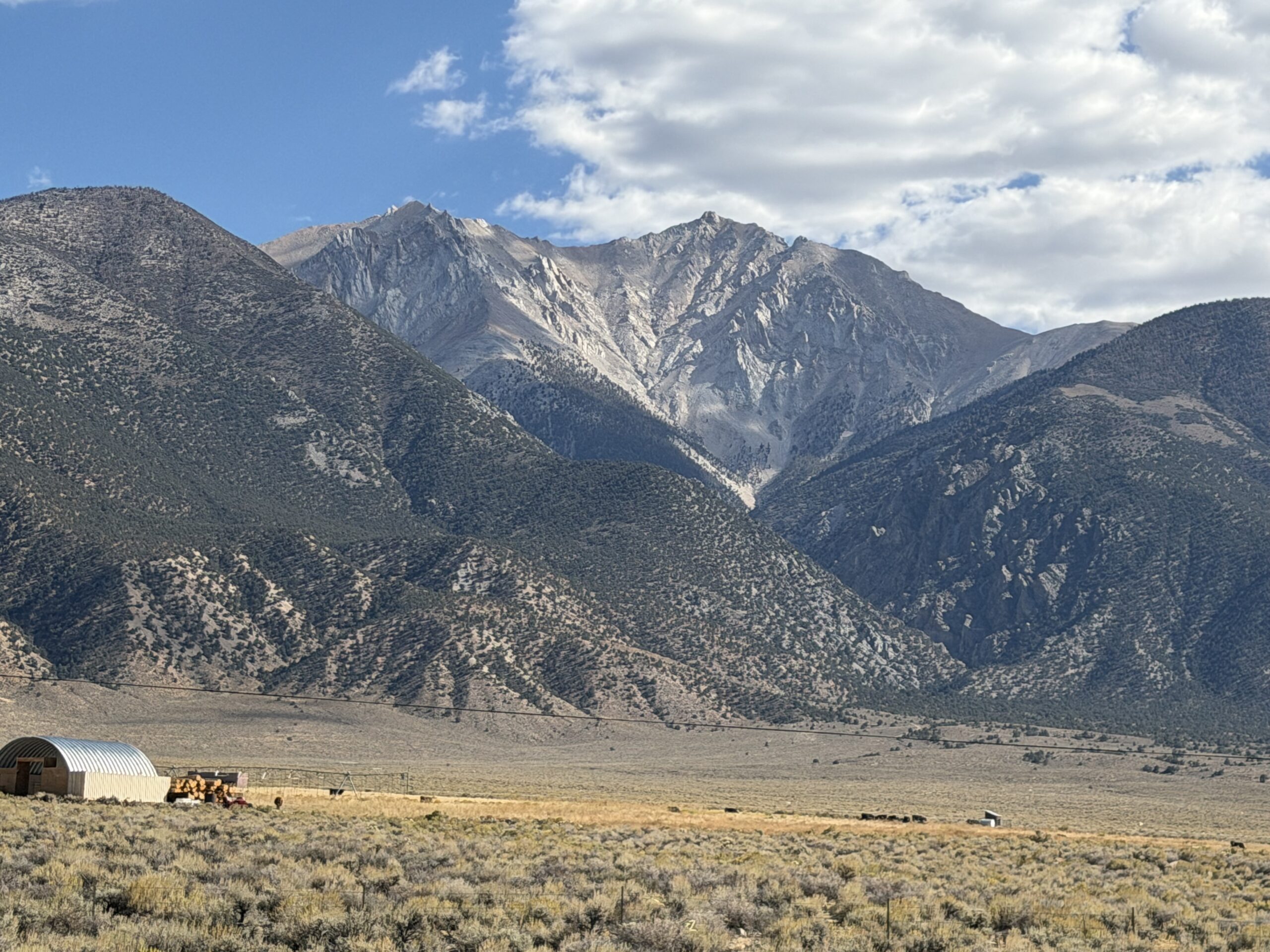
Boundary Peak 13,141′, Montgomery Peak 13,436′ and Trail Canyon Saddle Peak 11,336′
Desert Peak Section
Total Time: 7:40
Distance: 11.4 miles
Elevation Gain: 5600′
Crux: Class 3
Trailhead: Queen Canyon Road, no services


Despite pursuing peak lists across the country, I’ve never been particularly interested in state or county high points. These lists are often overflowing with low-quality summits included because of arbitrary lines drawn on a map. Although most of the West Coast high points are quality summits, Boundary Peak, Nevada’s highest point, is a particularly good example of the absurdity of these lists. Located at the northern end of the White Mountains, it is essentially a false summit of the higher Montgomery Peak, just across the border in California. Had the state line been drawn slightly farther west, peakbaggers would be flocking to Montgomery Peak or the range high point, White Mountain Peak. Drawn farther east, and the prize would belong to Wheeler Peak, an ultra-prominence summit and the high point of Great Basin National Park. After 16 years of peakbagging, I had never made it a priority to tag Boundary Peak, despite its proximity to Mammoth Lakes. But after a successful alpine season in the Pacific Northwest and Sierra, I was ready to turn my attention to the desert a bit earlier than usual, and it seemed as good a time as any to finally climb Nevada’s highest mountain, along with its true summit, Montgomery Peak. Knocking out two Desert Peak Section peaks in a single day would be a nice bonus.
I left my condo in Mammoth before dawn, passing through Benton Hot Springs and Benton before completely missing the turnoff for Queen Canyon Road in the darkness. Most people climb Boundary Peak from the east, but approaching from the west would save me about an hour of driving and allow me to follow the more scenic ridgeline for much of the hike. The tradeoff was a notoriously rough dirt road, and I crawled up the canyon, white-knuckling the steering wheel as I navigated deep ruts. I eventually reached the Queen Mine at 9,000 feet, less than a mile and about 800 feet below the high saddle between Mustang and Boundary Peaks. The road deteriorated considerably beyond the mine, so I backed up and parked, now with just enough ambient light to leave my headlamp behind.
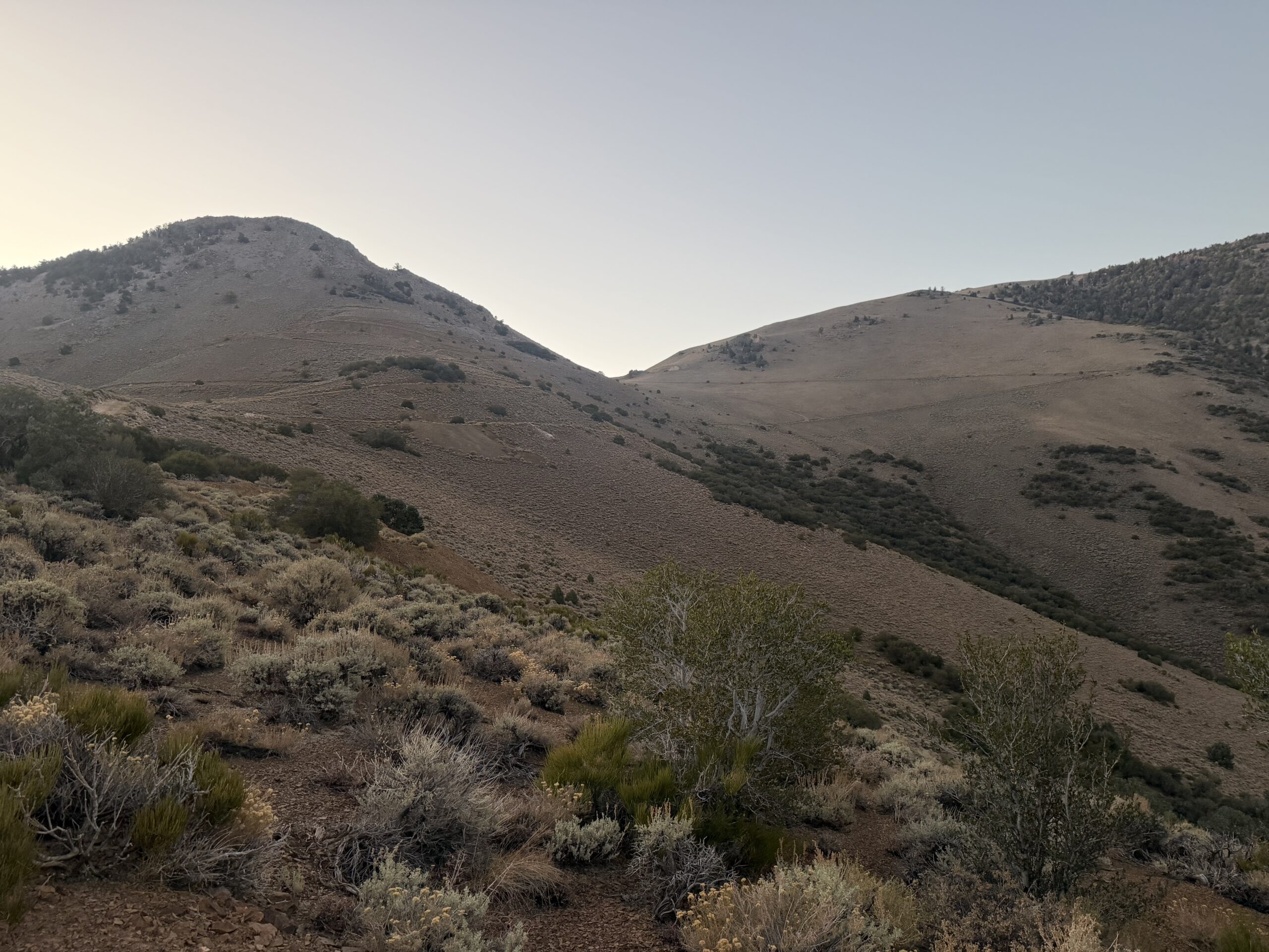
I continued on foot, and the road improved considerably just around the bend. With a little patience, I probably could have made it through in my Highlander, but with a relatively short day ahead of me, there seemed little point in pushing my luck. I followed the road past several defunct mines to the saddle, where I spotted a pair of hikers on the ridgeline above. My competitive instincts kicked in, and I picked up the pace in an attempt to catch them. Unfortunately, the previous day’s 38th birthday celebrations seemed to be catching up with me. Whether it was the celebratory wine or simply another year of aging, I found myself sucking wind as I pushed uphill. I felt a little better when I checked my GPS and realized I’d gained more than 1,000 feet in about 20 minutes.
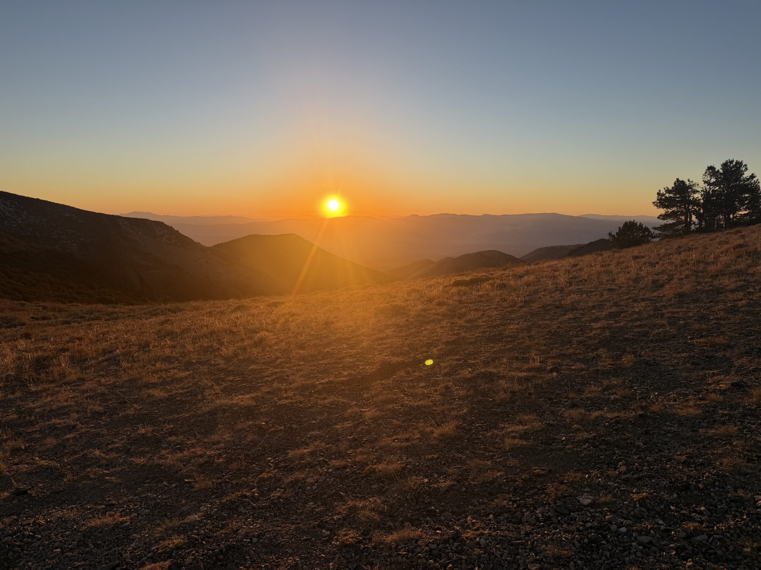
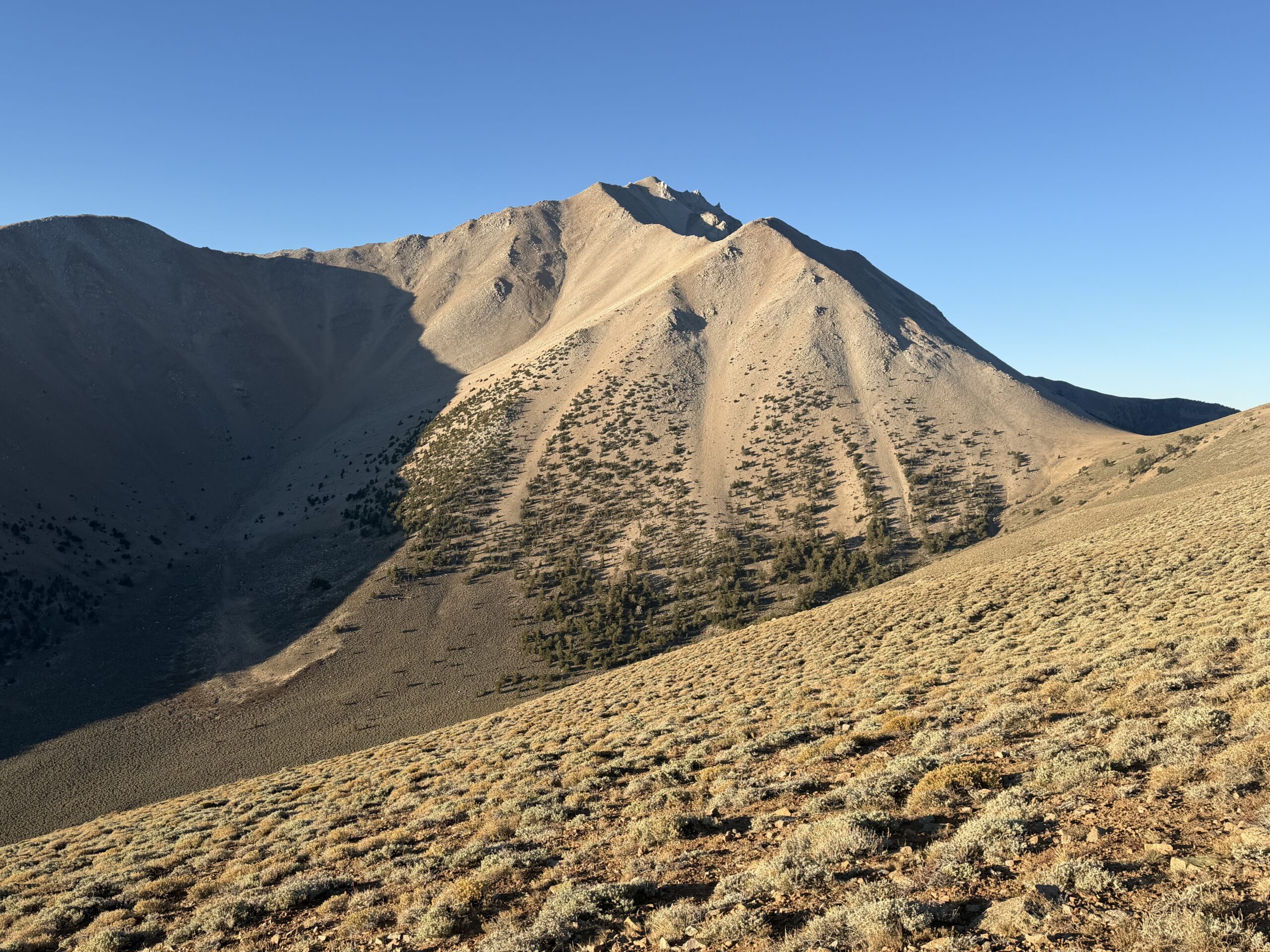
Above the initial steep section, the ridgeline flattened just below 11,000 feet, and I caught up with the pair as they took a short break. Boundary Peak finally came into view, and despite being a sub-peak, it looked surprisingly impressive, with a series of granite spires lining the ridge north of the summit. I continued along an excellent trail that skirted a series of false summits before dropping to Trail Canyon Saddle. I was about an hour into the hike, with my work cut out for me: the summit was less than two miles away, but more than 2,500 feet of climbing remained.
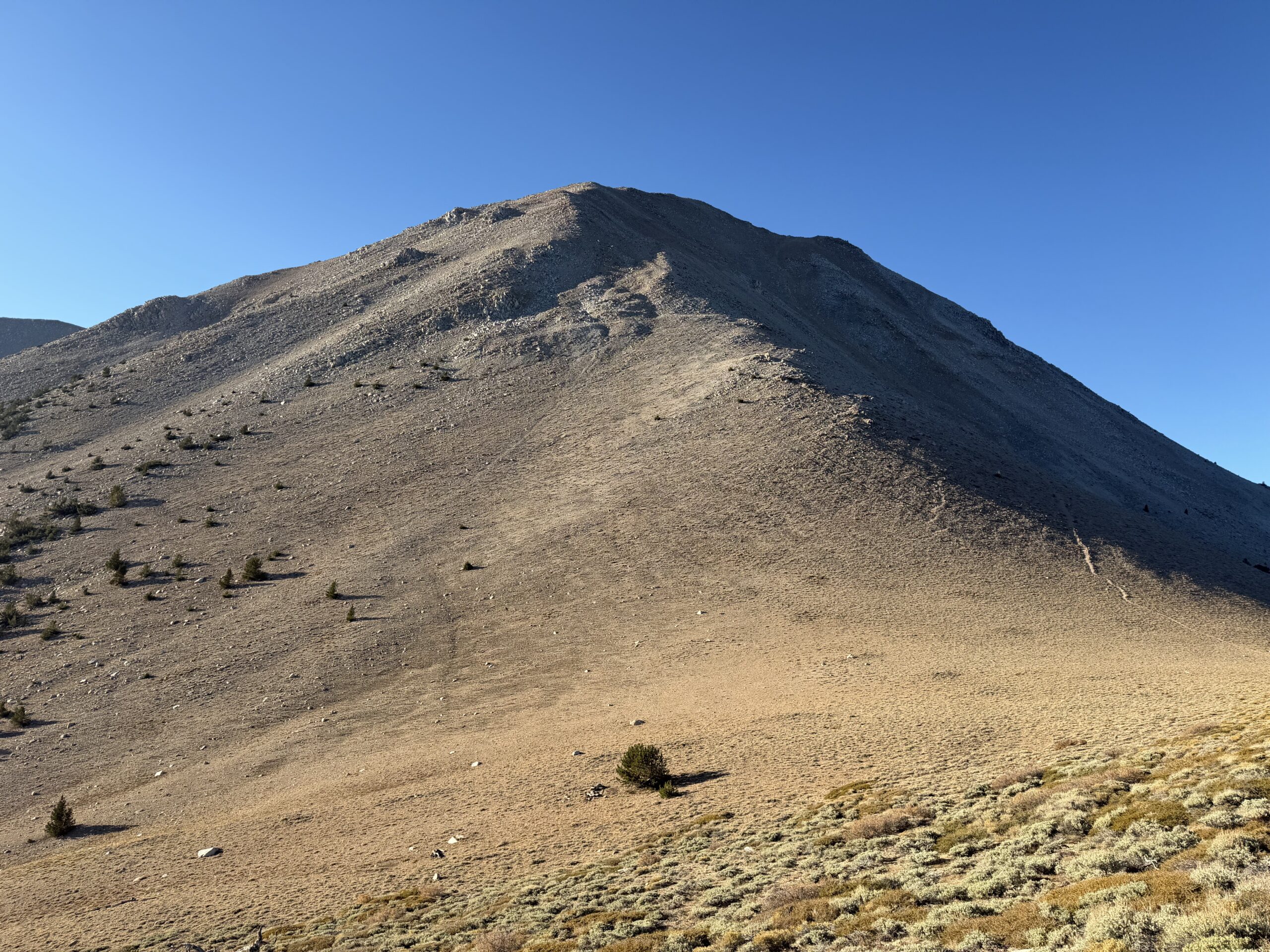
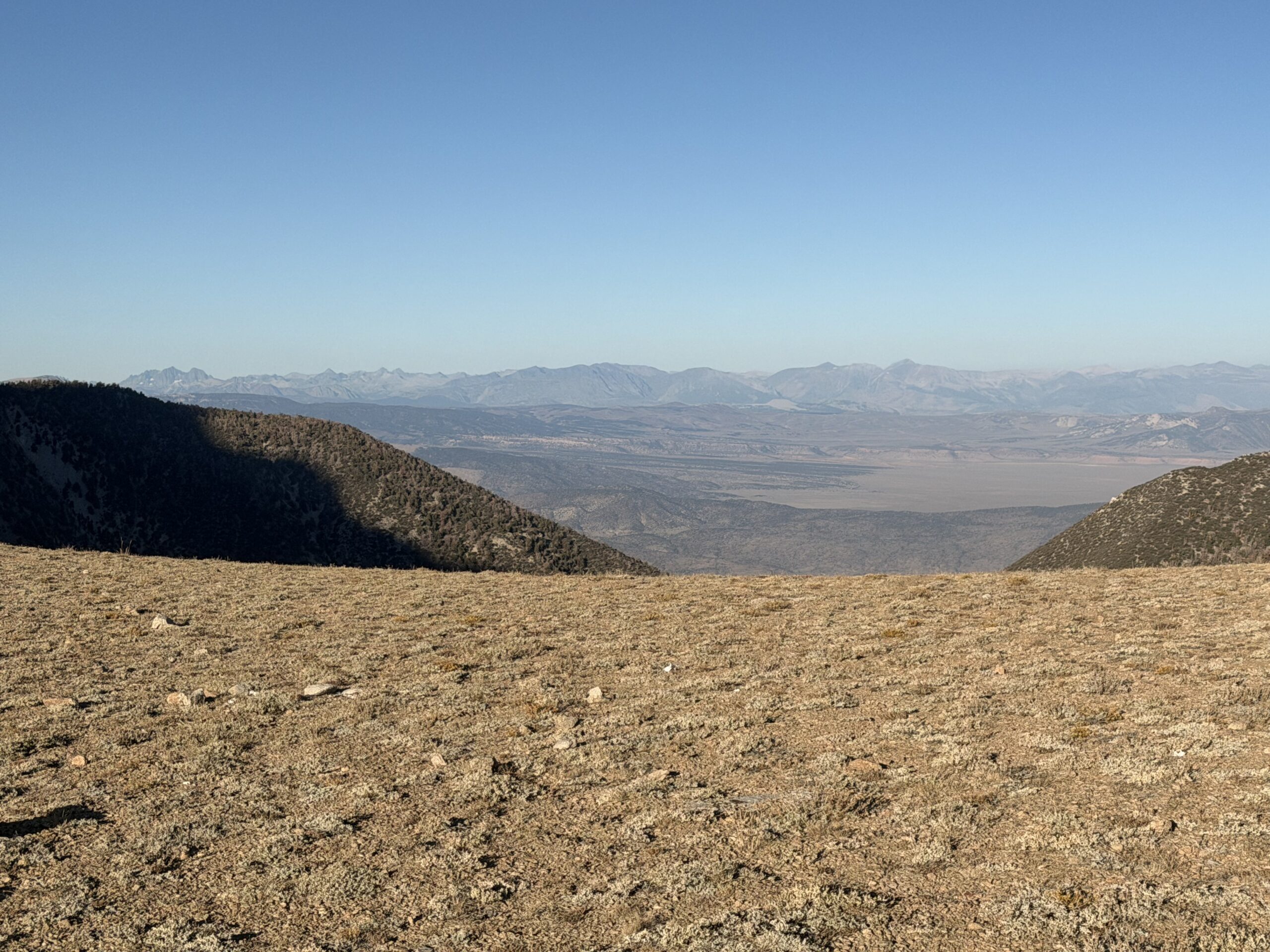
The trail switchbacked up a loose scree slope, but I eventually abandoned it in favor of more solid footing among the rock and talus north of the unofficially named Hosebag Peak. I regained the trail as it contoured west around the first false summit, then climbed back onto the ridgeline about half a mile below Boundary Peak. As I worked my way up the upper ridge, the views opened along the spine of the White Mountains, with Montgomery Peak appearing for the first time and Dubois and White Mountain Peak visible to the south.
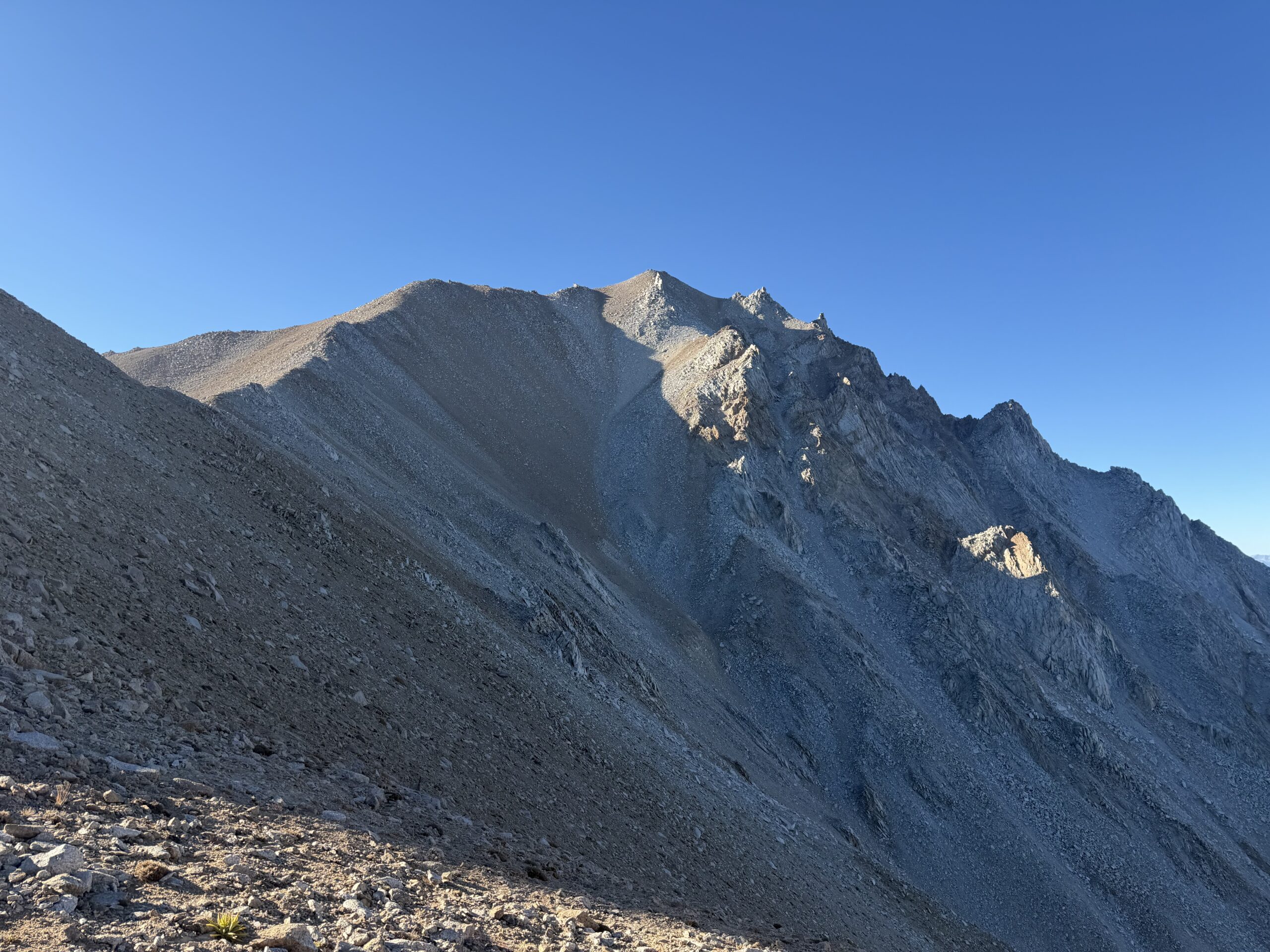
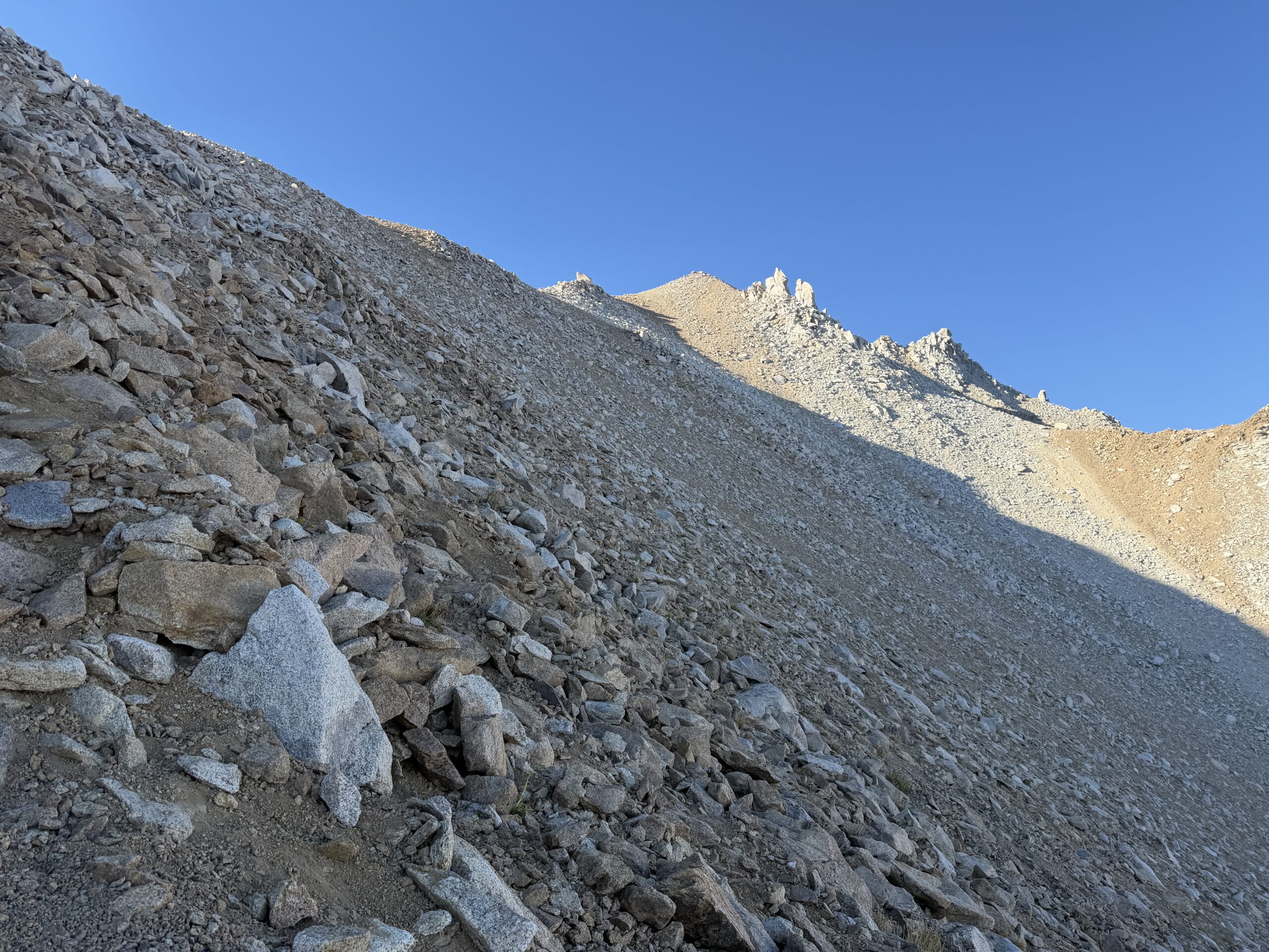
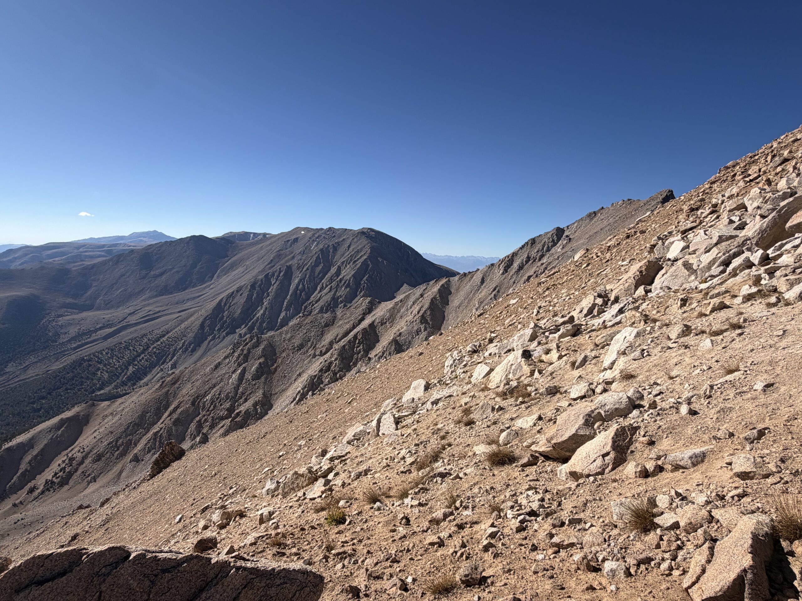
The final stretch was straightforward, and I reached the high point just over three hours after leaving the mine. Despite feeling rough at the start, I was happy with my time and found a sheltered spot to take in the expansive views of the Sierra Nevada to the west. The summit register was overflowing with trinkets left by state high-point chasers, and the notebook contained multiple entries from nearly every day.
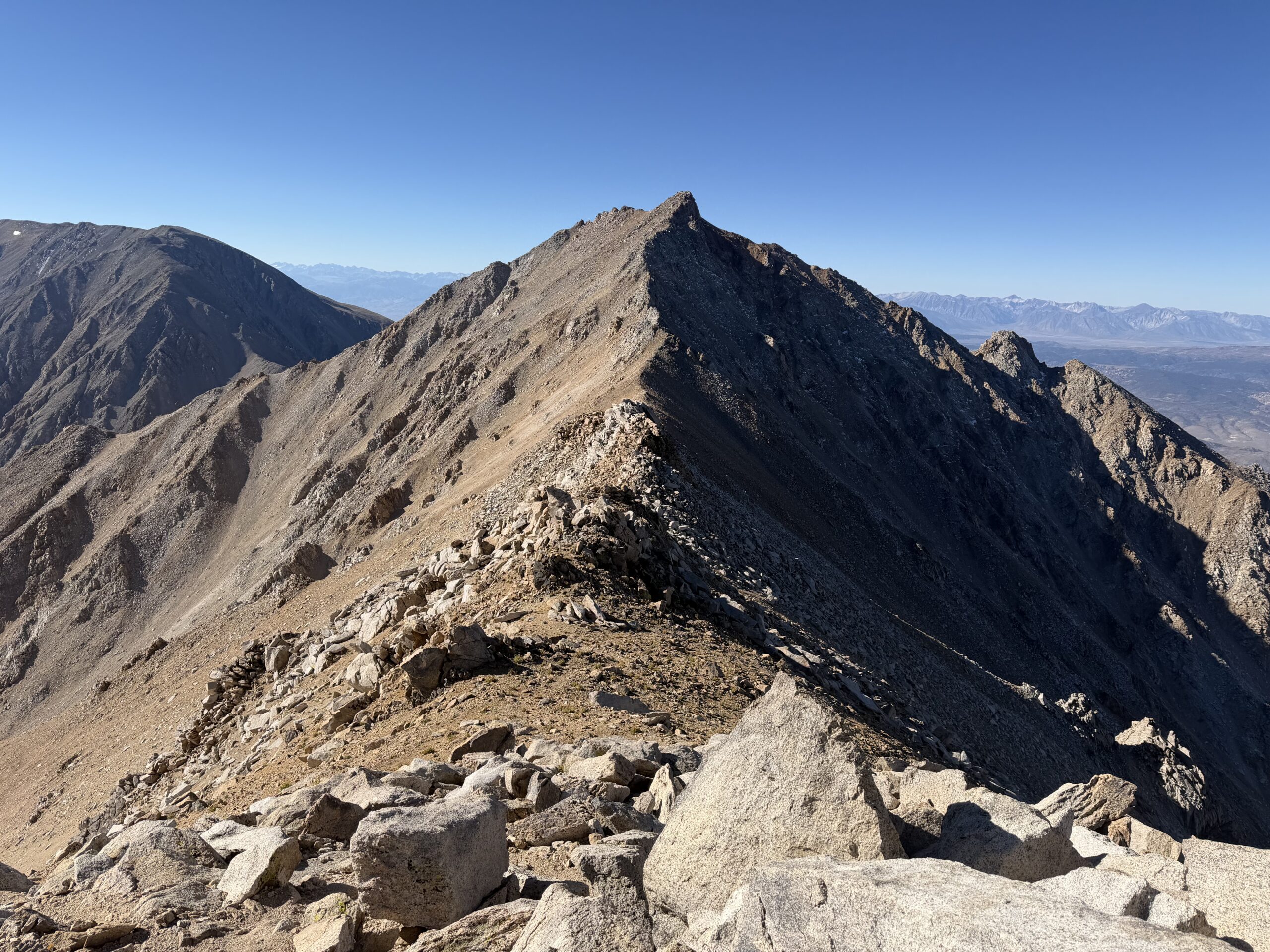
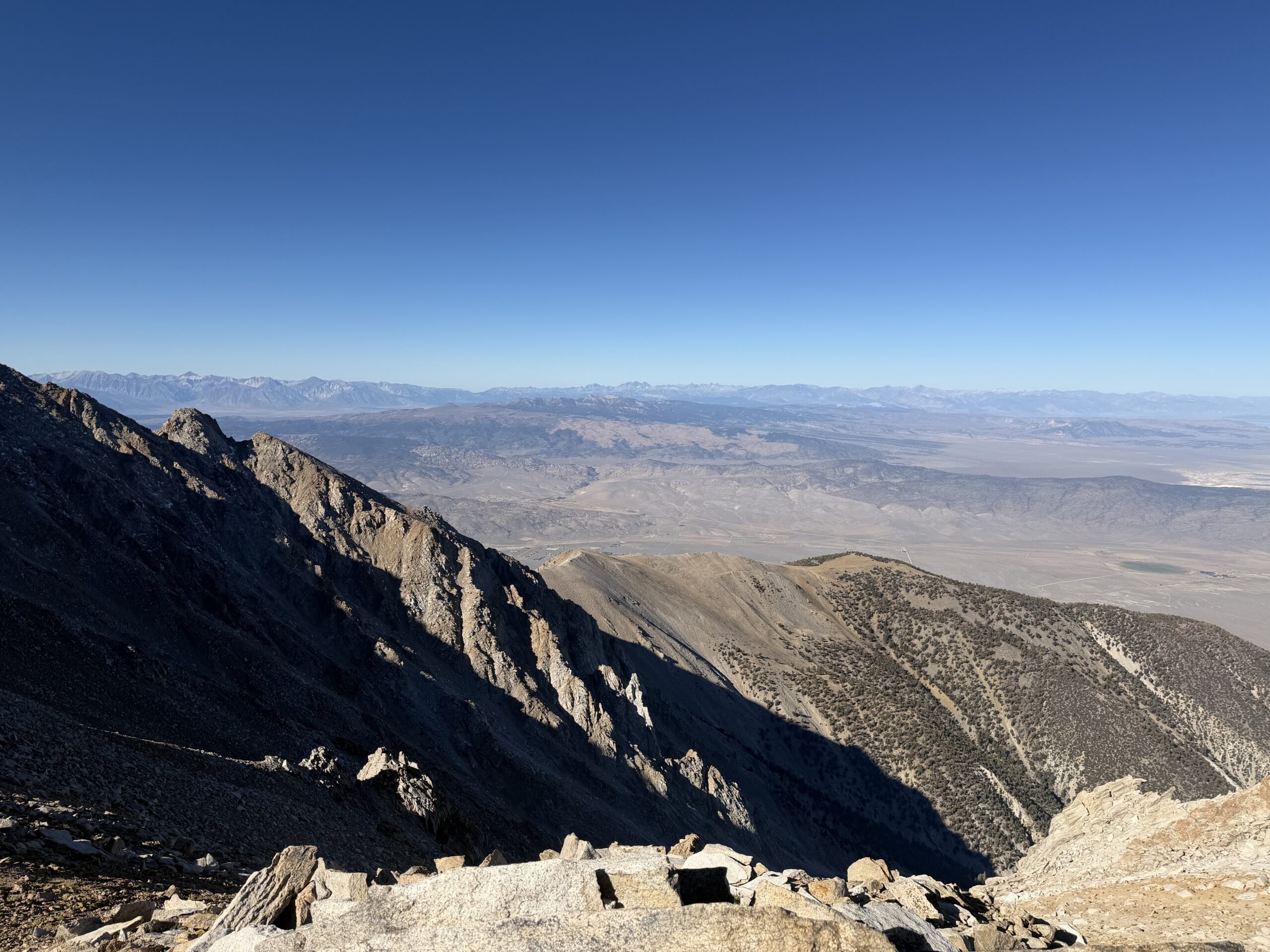
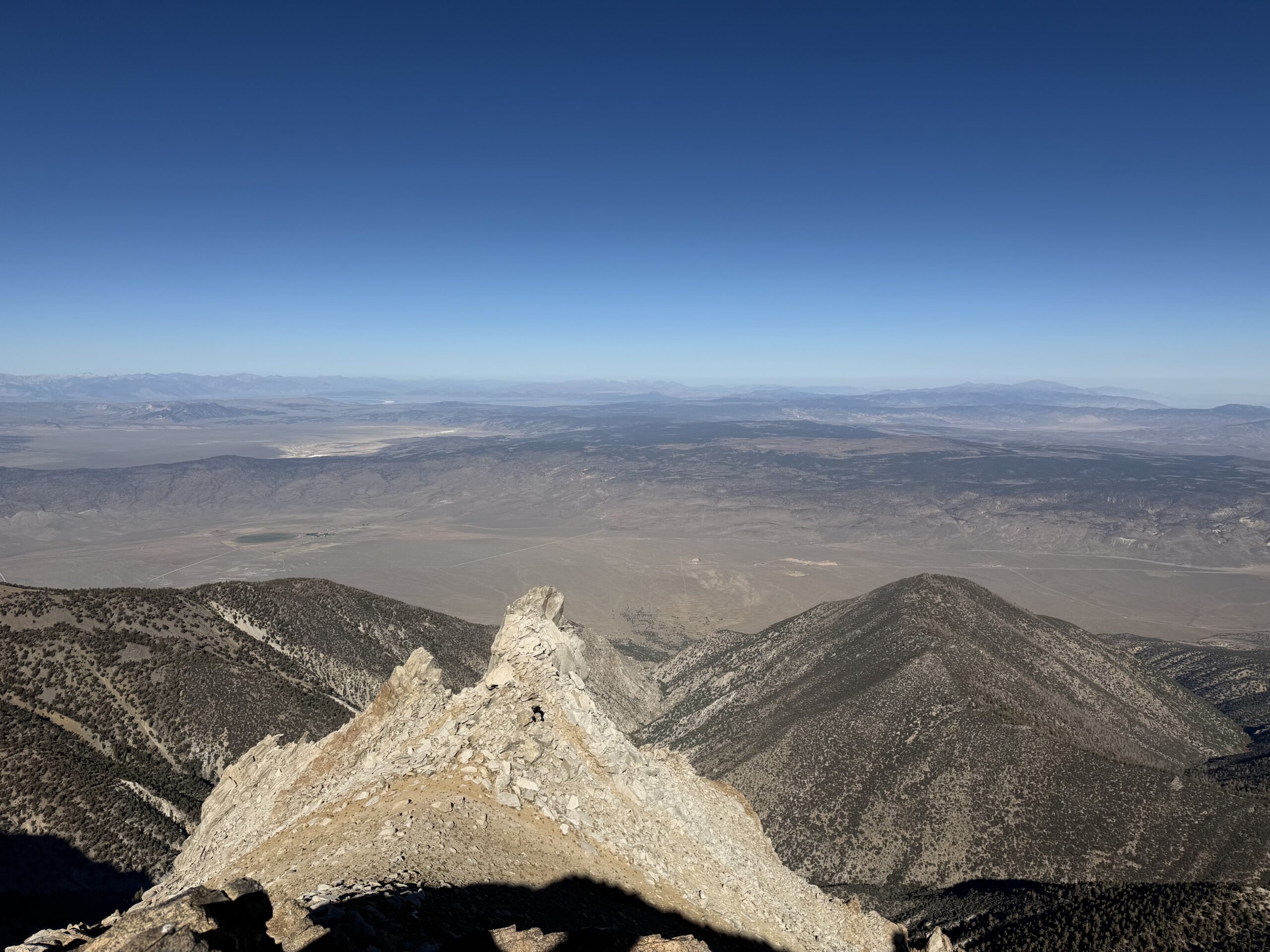
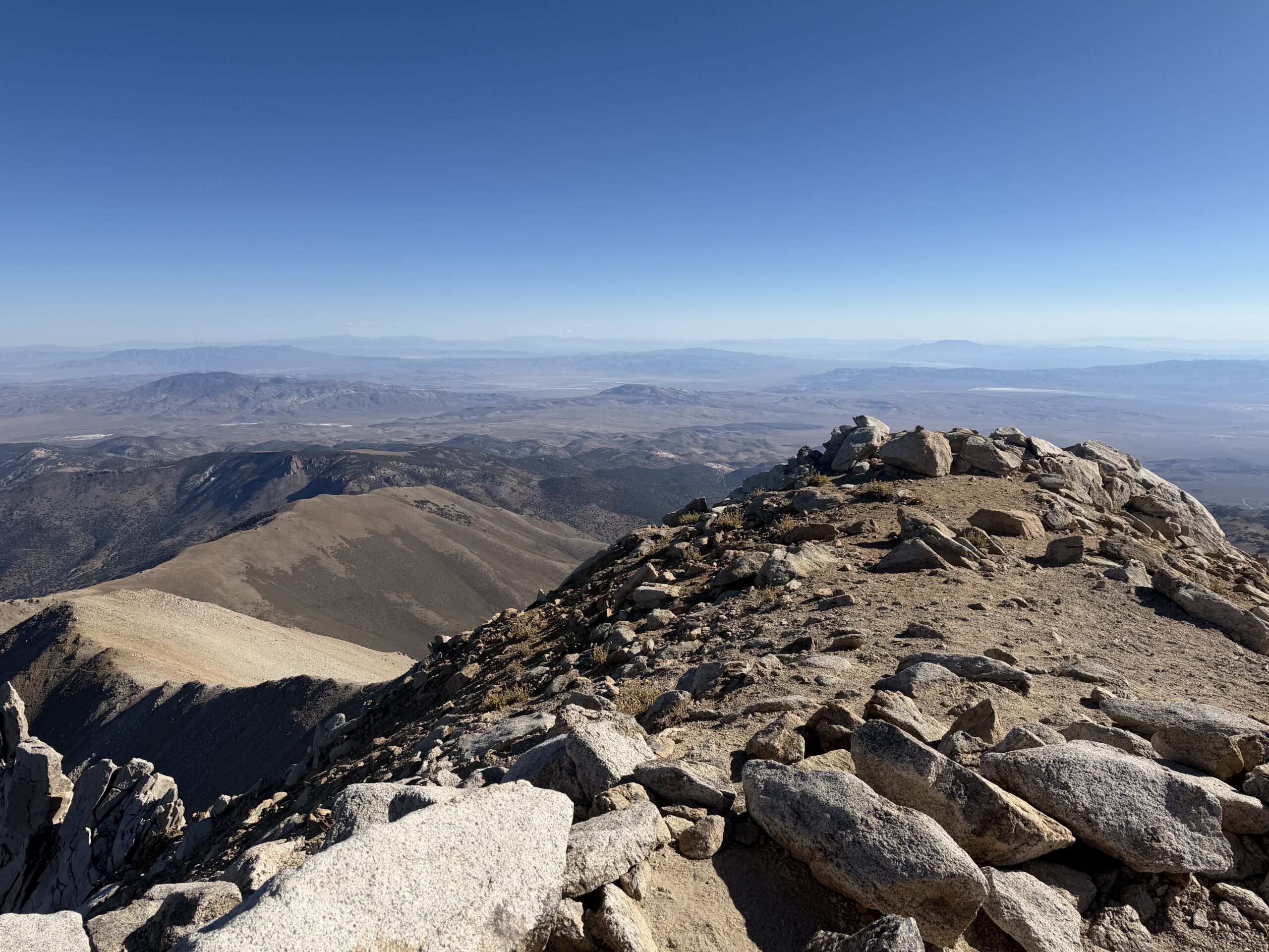
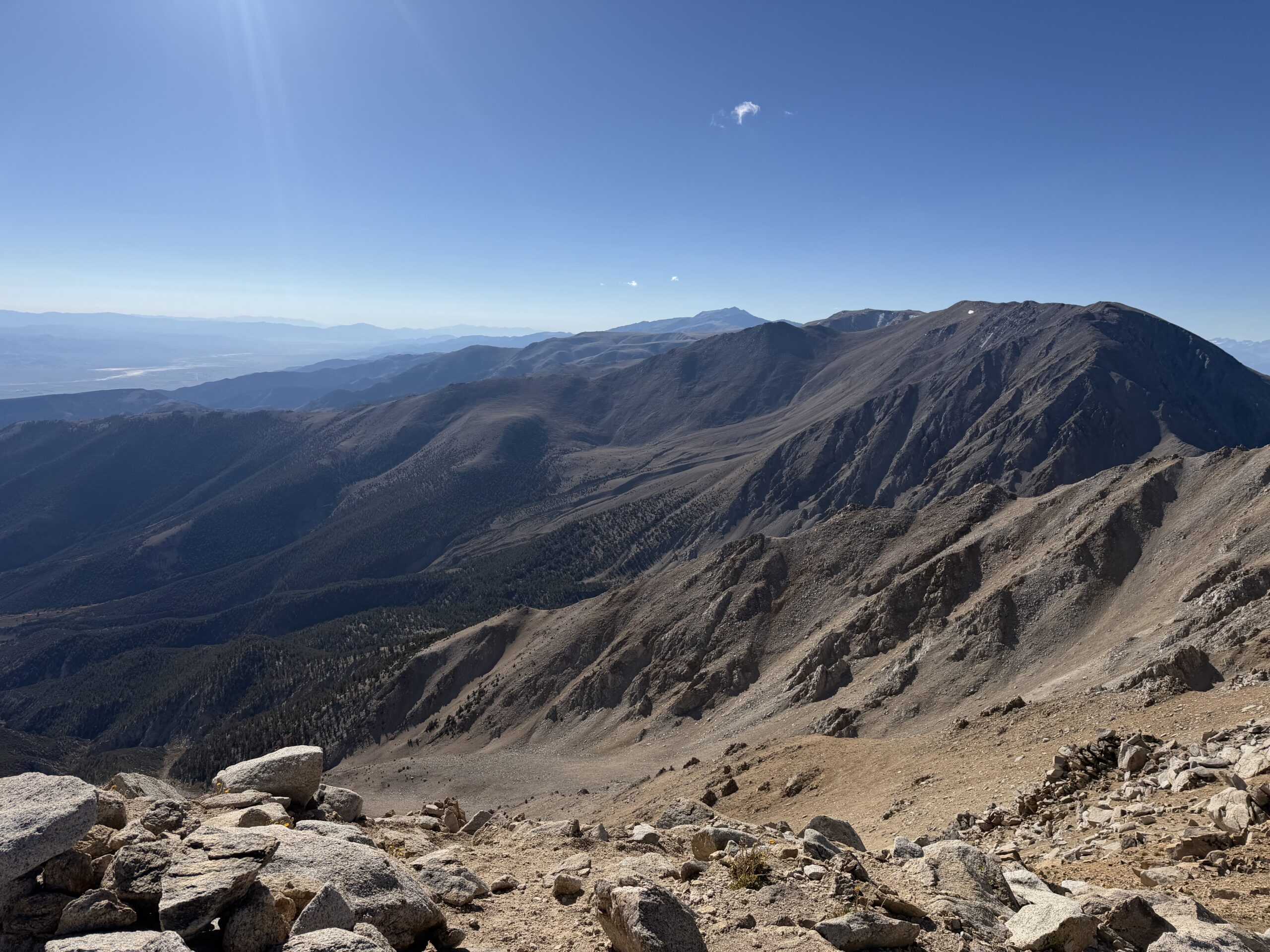
After signing into the register, I pocketed a Rubik’s Cube to bring home to Avery before turning my attention west toward Montgomery Peak. If Boundary Peak was the arbitrary prize dictated by a line on a map, Montgomery was the mountain that actually looked worth climbing. Its jagged ridgeline, punctuated by a series of rocky steps, promised the most interesting scrambling of the day. After spending the morning working my way up Nevada’s highest point, I was looking forward to crossing the state line and tackling the higher mountain next door.
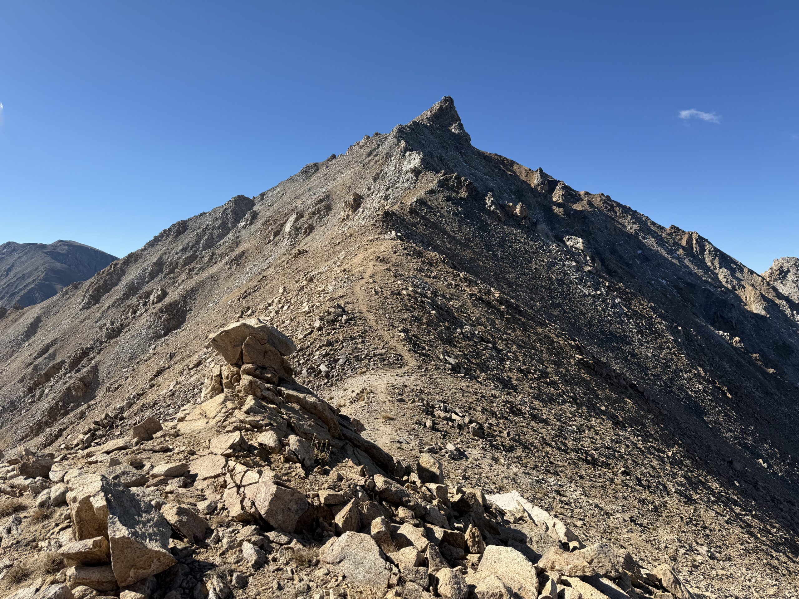
I dropped off Boundary Peak, staying as close to the ridgeline as possible. The rock was generally more solid there, and the scrambling more engaging, although it would have been easy to drop onto the sandy slopes below and keep the traverse to Class 2. At the saddle, I crossed into California and climbed onto a short but enjoyable granite fin of Class 3 rock. Tiny patches of snow had settled into shady north-facing pockets from the first cold storm of the year, creating an alpine feel to the high desert summit.
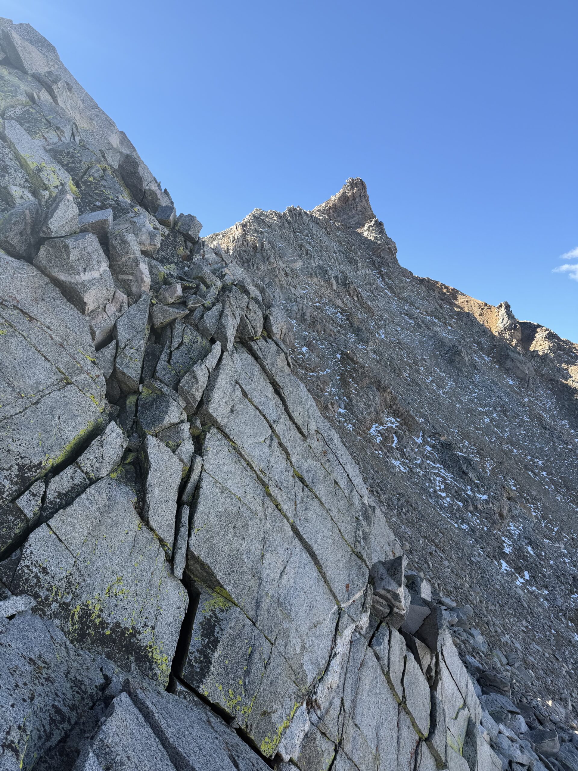
The scrambling continued to just below Montgomery’s summit, where a final steep pitch of rock was bypassed by easier Class 2 terrain to the left. In contrast to Boundary Peak, Montgomery’s summit register was remarkably sparse, with only a handful of ascents recorded that year. This seemed especially surprising given that the traverse had taken only about 45 minutes and had been the most enjoyable part of the day. I looked out over the nearby Glass Mountains toward the Range of Light, doing my best to identify as many Sierra summits as I could through the haze.
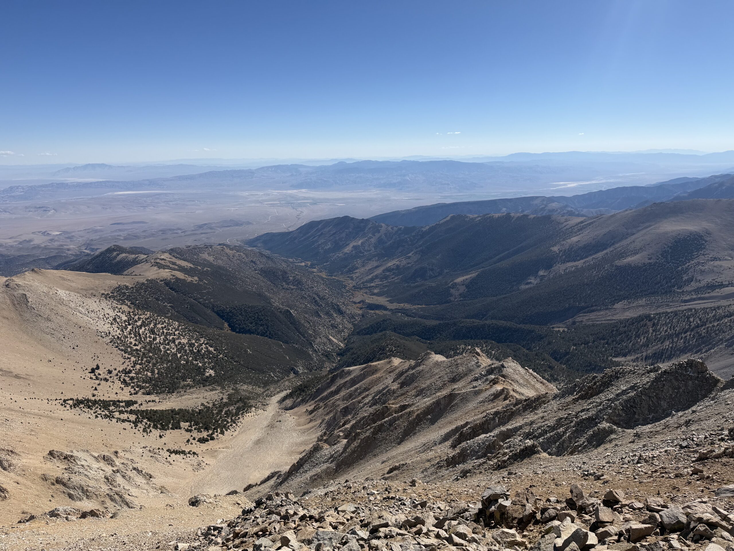
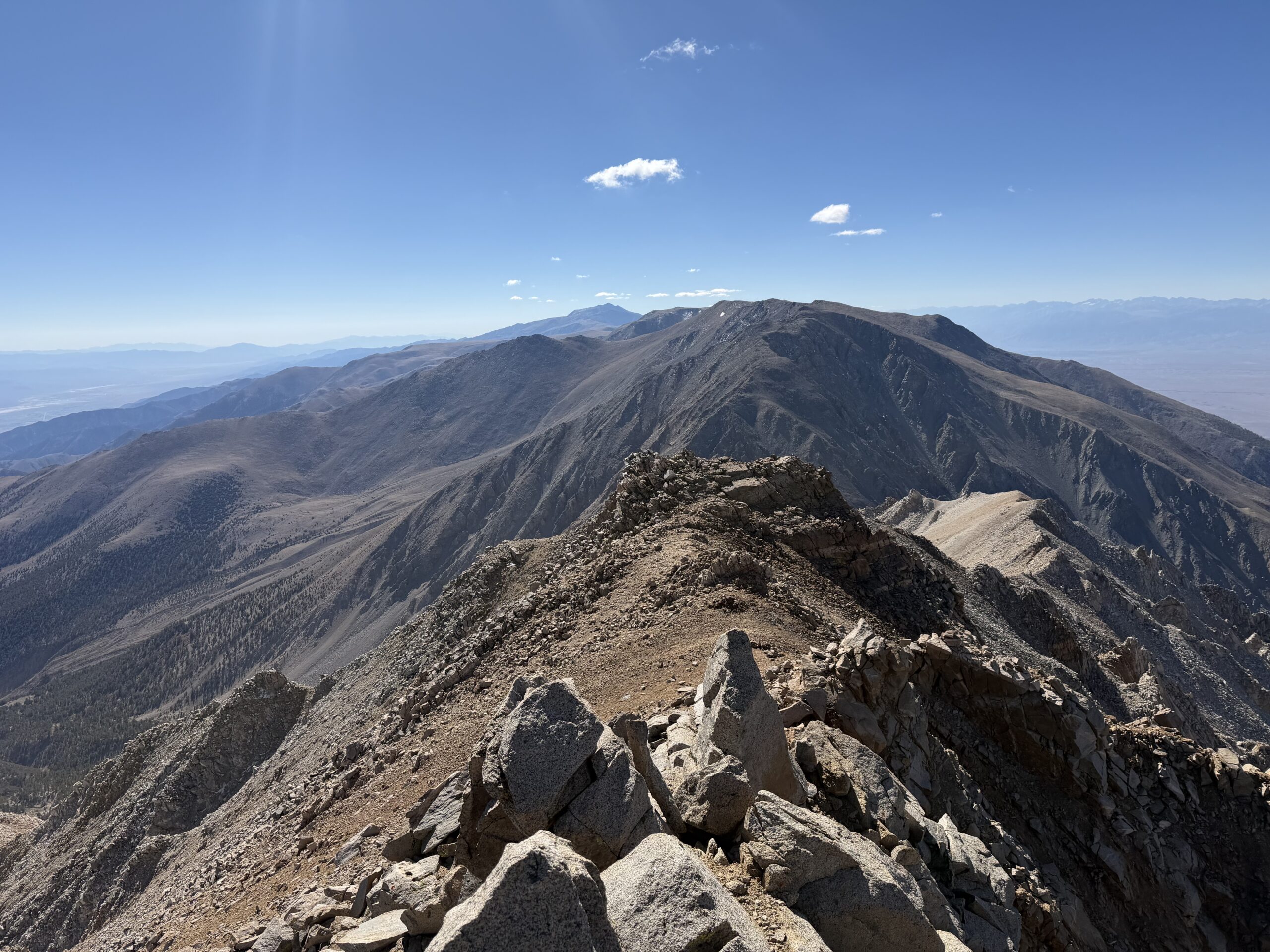
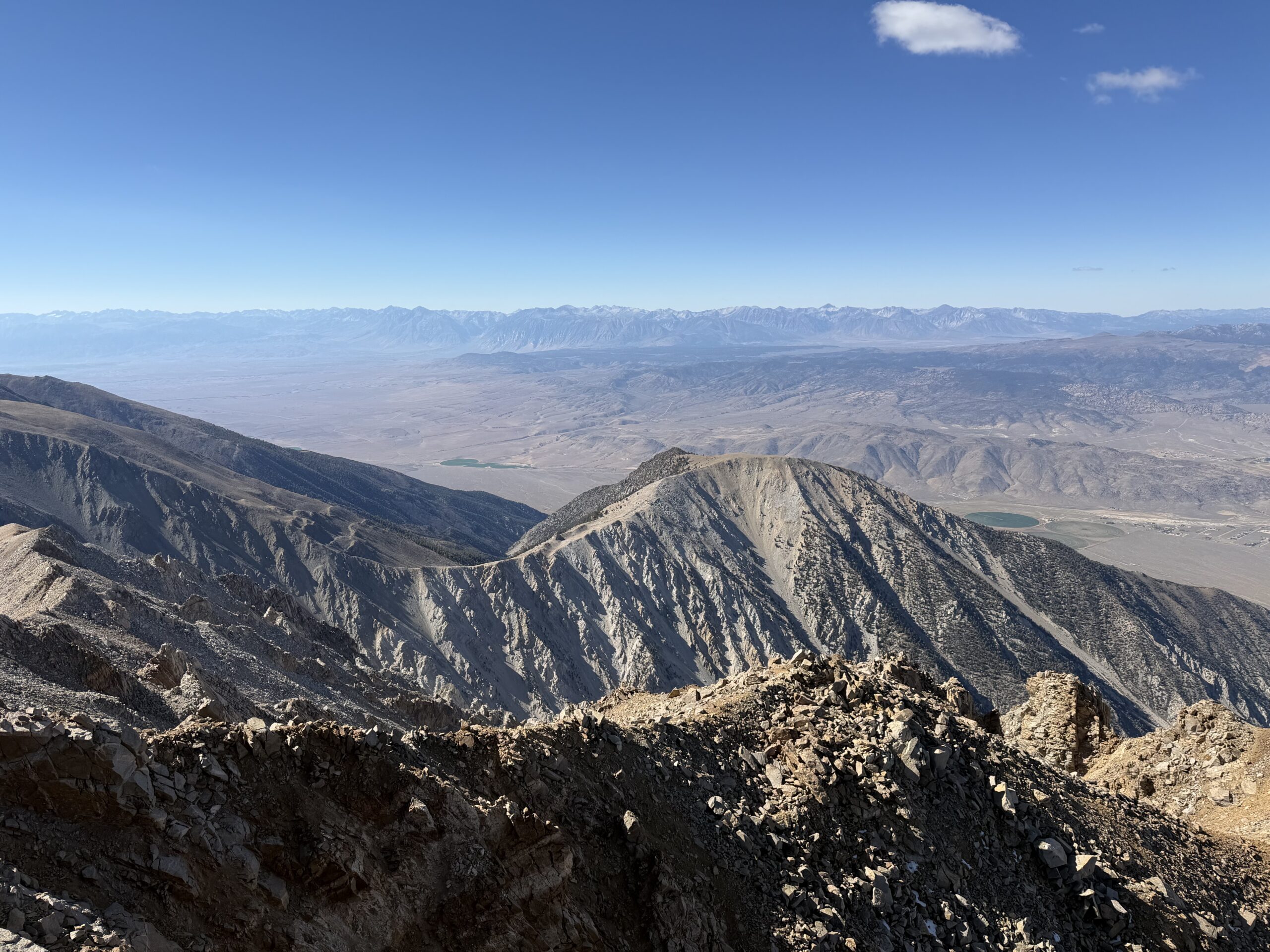
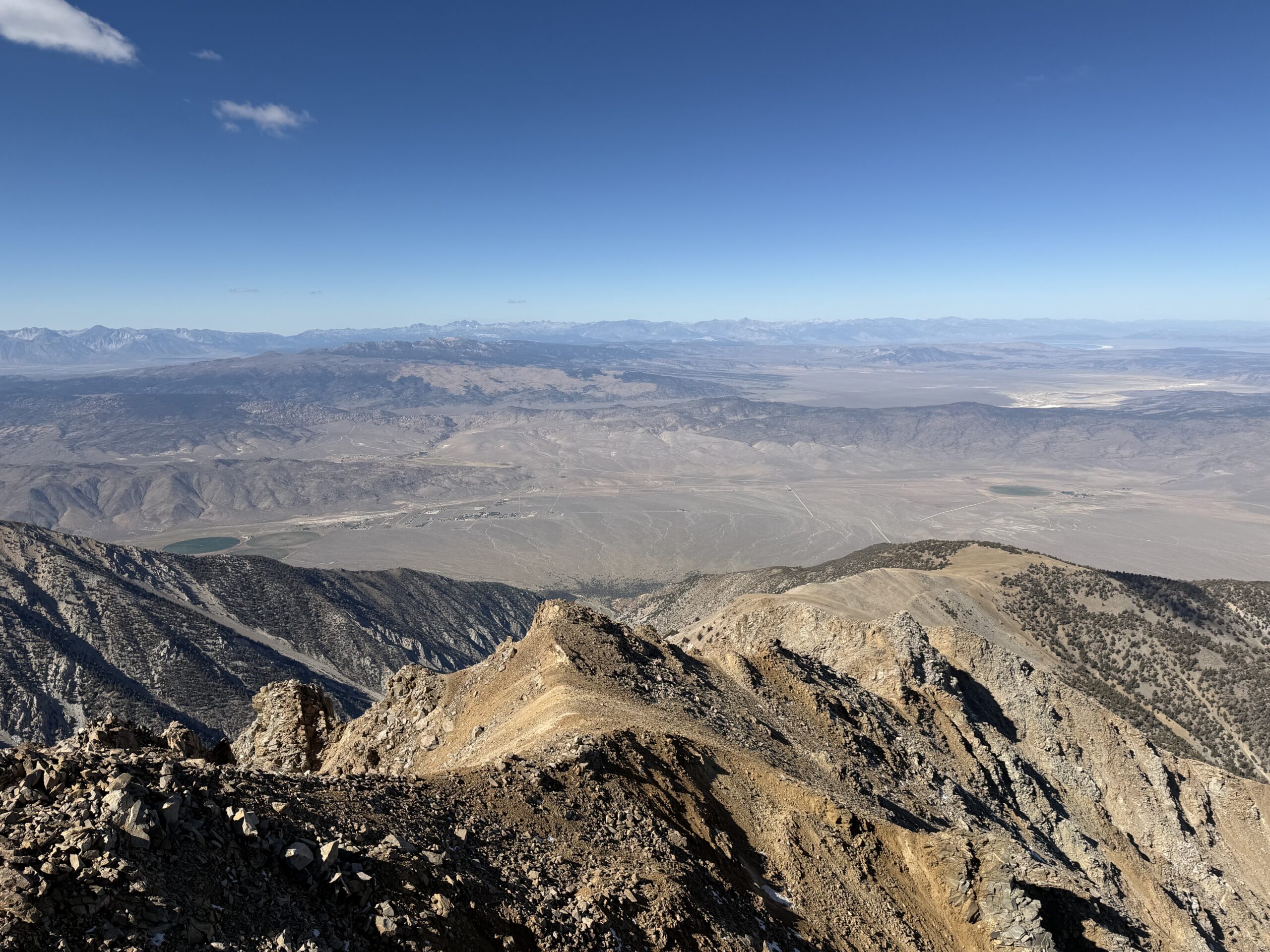
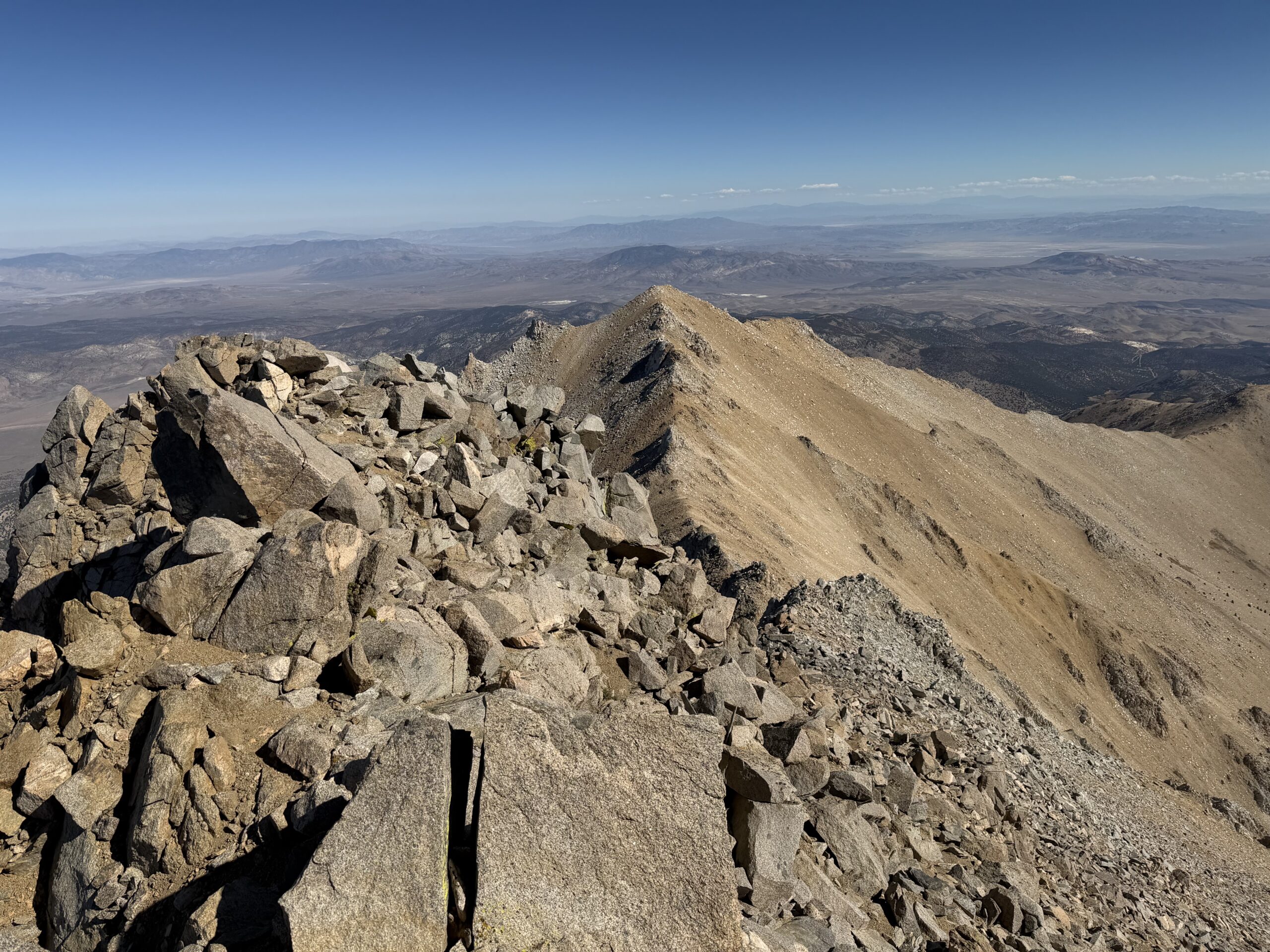
Looking back toward Boundary Peak, I could make out the pair of hikers I’d passed earlier that morning. My competitive instincts returned, and I set off down the mountain, hoping to pass them once again. After quickly reaching the California-Nevada state line, I tried traversing the scree slopes south of Boundary Peak to avoid reclimbing the summit. The side-hilling proved tedious, so I abandoned the idea and scrambled back onto the ridgeline, climbing nearly to Boundary’s summit before traversing onto lower-angle scree just below it. From there, I dropped down the east ridgeline toward the saddle with Hosebag Peak, an easy bonus summit on the way out.
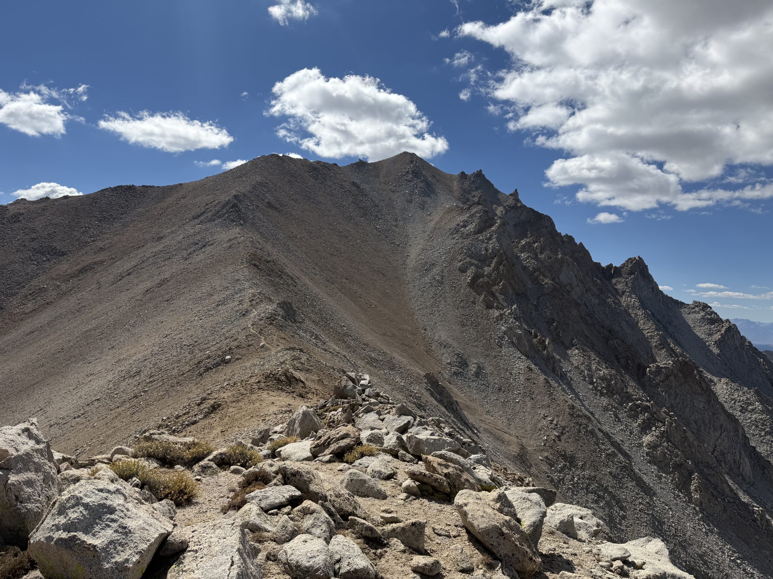
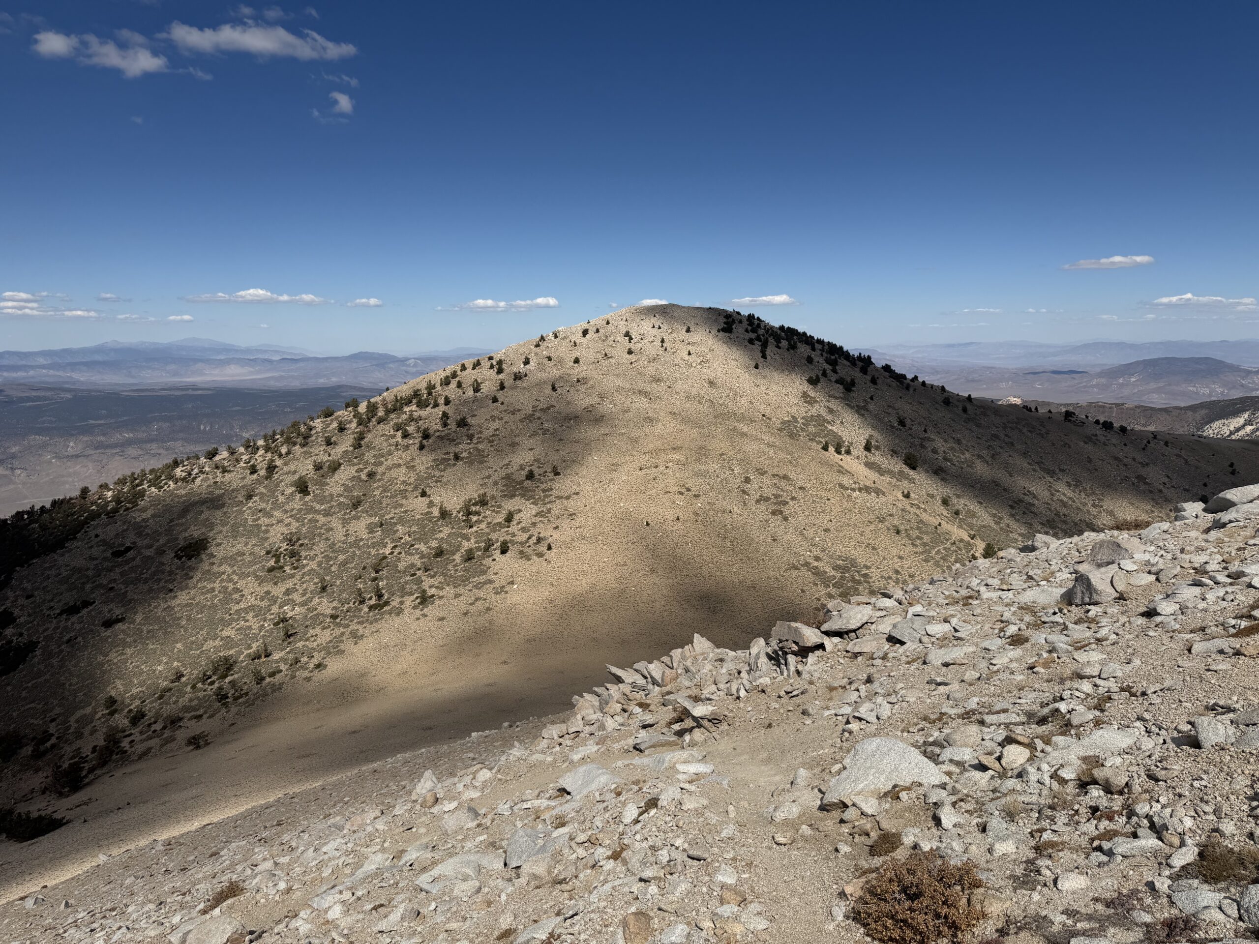
It took only about five minutes to detour to the top, where I found the pair of hikers back on the trail below. I descended directly north and passed them halfway between Hosebag Peak and Trail Canyon Saddle. Ahead lay Trail Canyon Saddle Peak, another easy summit about 500 feet above the saddle. It was still early, and I figured there was little chance I’d be back in the area anytime soon, so I continued uphill. The summit held a small glass jar containing a few loose scraps of paper serving as a register. I was surprised to find evidence of a recent visitor, with an ascent recorded within the past month. Apparently, even this minor summit was a more popular bonus objective than Montgomery Peak.
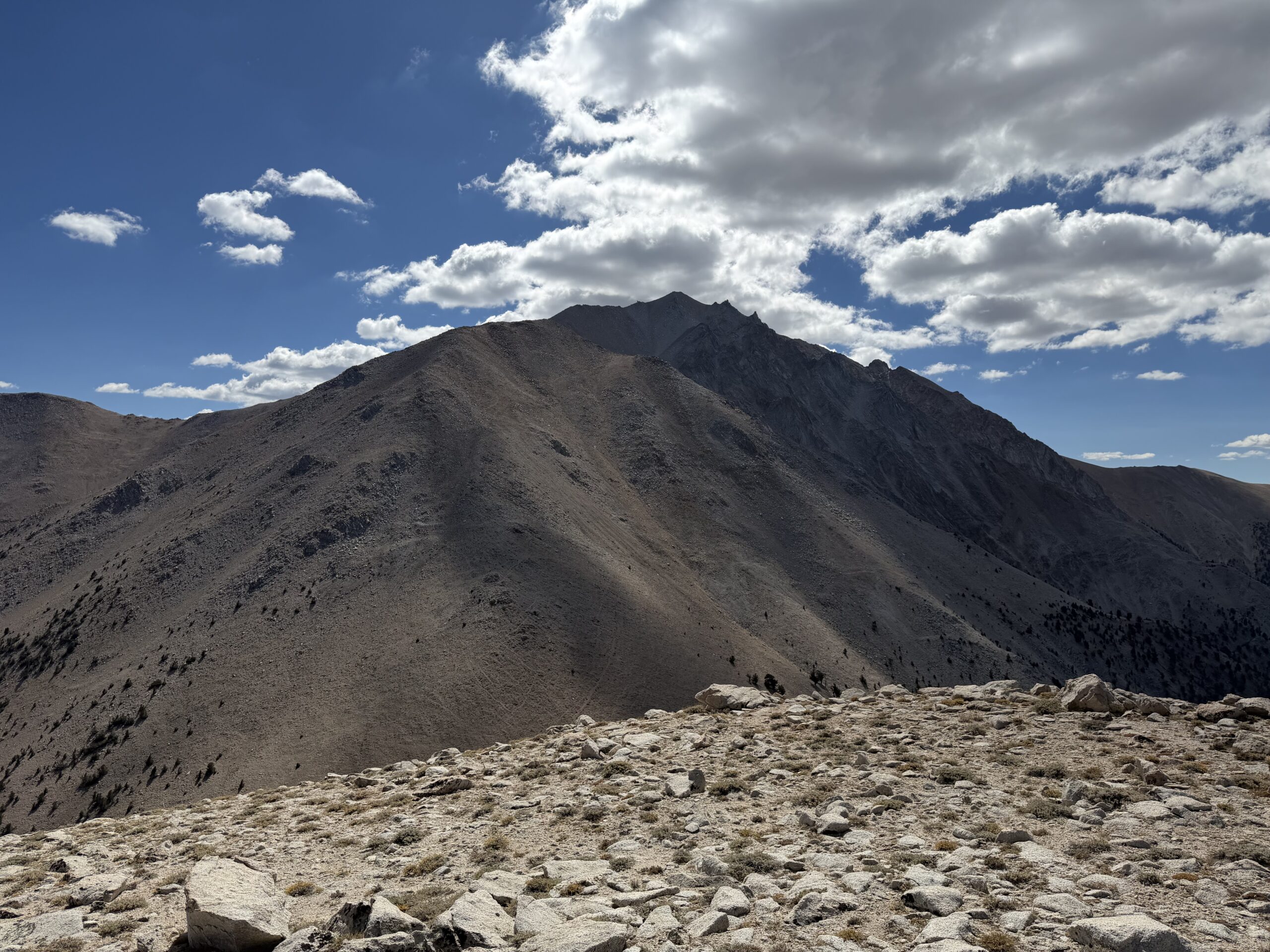
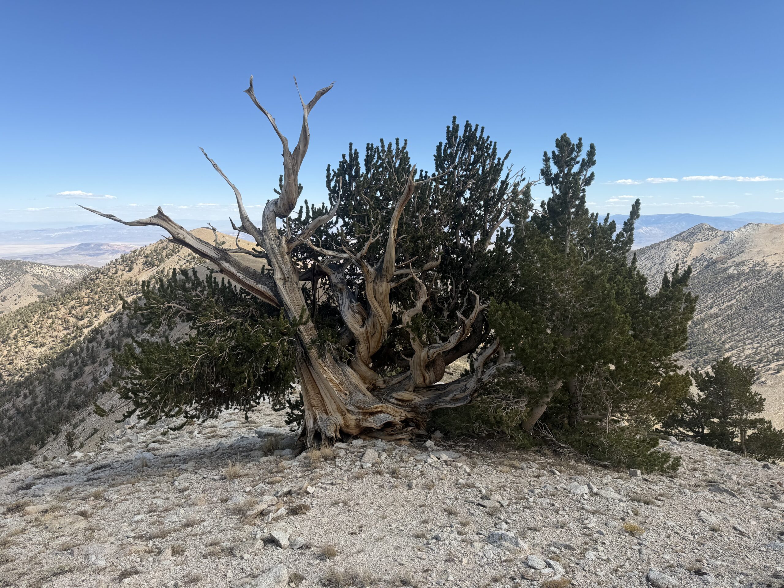
From there, I continued east along the ridgeline, passing a beautiful, solitary bristlecone pine before intersecting the trail just below a shallow saddle. One final bonus summit remained: an unnamed peak sitting at around 11,000 feet. An unnamed summit with little prominence held little appeal in its own right, but like an alcoholic looking for his next drink, I found myself on autopilot, heading uphill to tag one final peak.
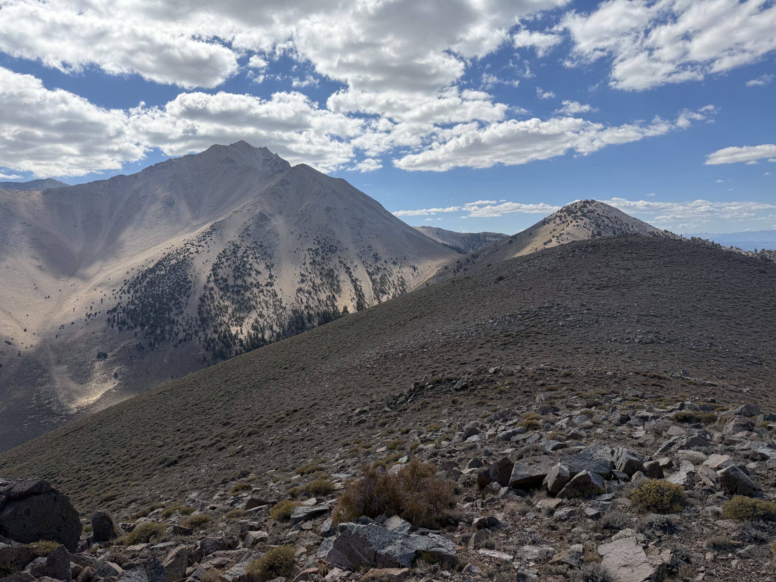
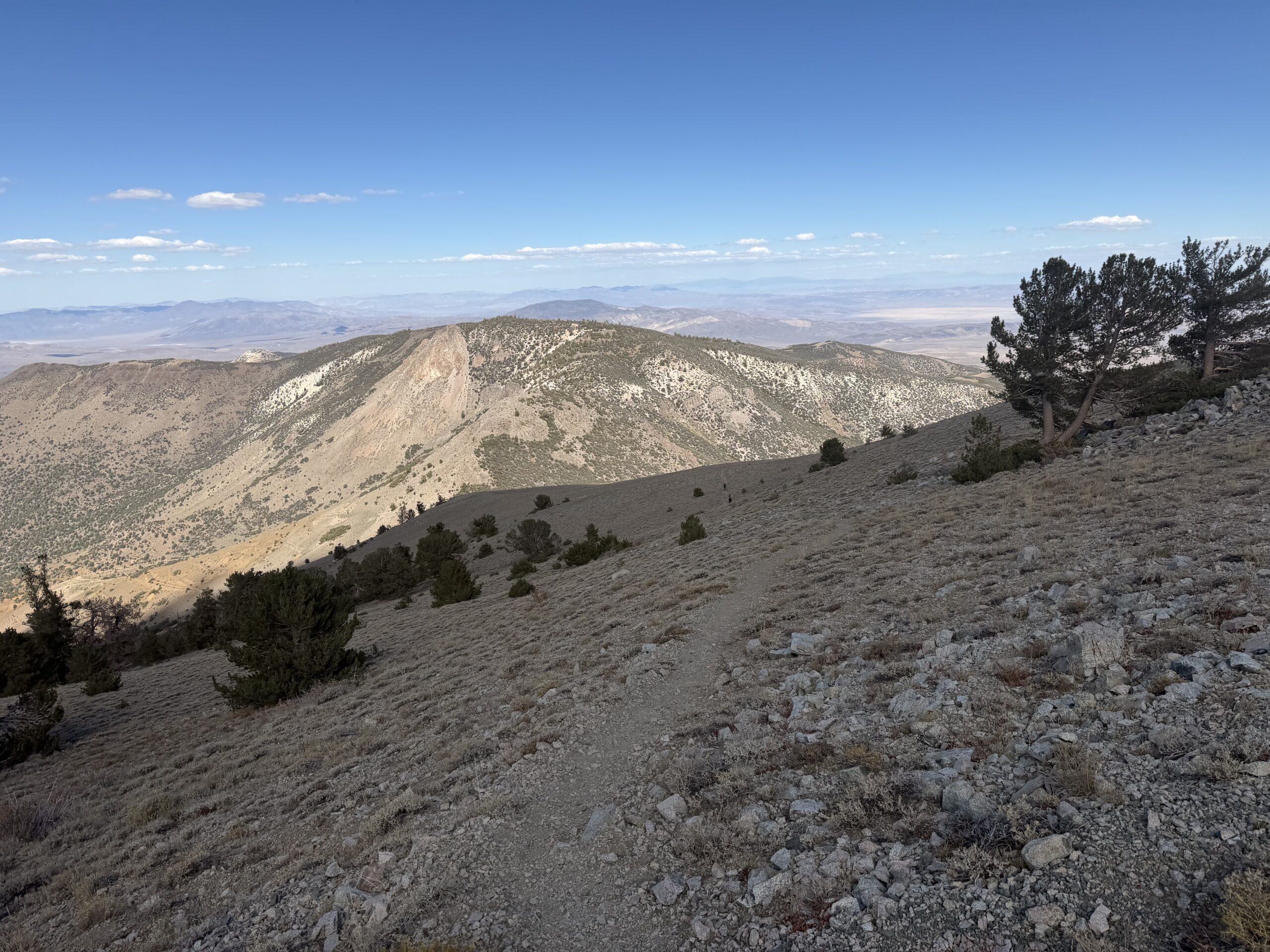
My bonus-peak shenanigans had allowed the pair to pass me once again, so I picked up the pace and jogged past them for a final time just above the saddle with Mustang Mountain. From there, it was an easy walk along the road back to the mine. I cut across a final switchback just as two older hikers were debating whether to park at the mine or push their SUV farther up the road. I shared some beta and encouraged them to get past the final rough patch. With a little guidance, they were soon on their way to the saddle, where they planned to spend the night before making a summit bid the following day.
I hopped in my car and headed back down the canyon, arriving in Mammoth in time for Taco Tuesday at Shelter Distillery.