
Le Brevent 2525m/ 8284′
International– France
Total Time: 2:45
Distance: 5.8 km/ 3.6 miles
Elevation Gain: 515m/ 1690′
Crux: Class 1
Trailhead: Top of Planpraz lift, full services
Companions: Holly


Two years ago on my first trip to Europe, I got essentially shut out in France. What had been planned as an ambitious peakbagging tour over the Three Mont route on Mont Blanc was cancelled because of weather, and a failed attempt on Mont Buet (also due to weather) meant I only left the country with Le Prarion and Tete Noir, two small peaks on the northwest Mont Blanc massif. I was able to arrange a second trip to Europe through work only two years later, but again the timing would be just off, missing the opening of the upper cable car to access the Gouter Route on Mont Blanc by a week, adding at least an extra day to the climb if not two. So I instead headed to Europe with Holly for an attempt on Italy’s Gran Paradiso, with plans to spend two nights in Chamonix for hiking and acclimitization. But for the second time, finding an objective in Chamonix in the spring was proving to be surprisingly difficult. The car up to Aiguille du Midi was undergoing maintenance, ruling out the easy (but expensive) way to acclimate. In addition, the upper cable cars on the other side of the valley in the Aiguille du Rouges were likewise not yet in operation. On top of that, we had not brought any technical climbing gear with us since our hired company for Gran Paradiso was supplying it, further limiting our options. After much deliberation, I decided on Le Brevent, a 2525 meter summit in the Aiguille du Rouges. The summit itself is actually served by a lift, but the upper portion was not yet open for the summer, meaning we would likely have the normally busy summit to ourselves. Plus, although the Rouges still held plenty of snow, a well formed snow track was in place by service snow cats, so we could probably get away with not having crampons. We were able to sleep in a bit, the first cable car up to Planpraz not leaving until 9 AM. It was pouring rain when we woke up and I held out little hope for the day, particularly after my difficulties with Chamonix last trip. It dropped to a light drizzle when we reached the base of the lift, and we headed up into the clouds with light packs. A handful of small groups were organizing at the top of the lift as well, and we seemed to be just above the rain clouds as we started up the muddy service road shrouded in cloud.


As we rounded the corner on the steep road we almost immediately hit snow, which would be continuous the rest of the hike to the summit. Most of the other groups peeled off onto the snow slopes, looking like they were practicing glaciers skills for attempts on various other objective in the valley later on. Despite being solid snow, the path was wide and well groomed by snow cats, and we didn’t feel the need for micro spikes or any extra traction beyond a trekking pole. The track slowly switchbacked up the slopes beneath numerous rock spires partially hidden in clouds, holding hundreds of alpine routes the made me wish for a rope and rack.


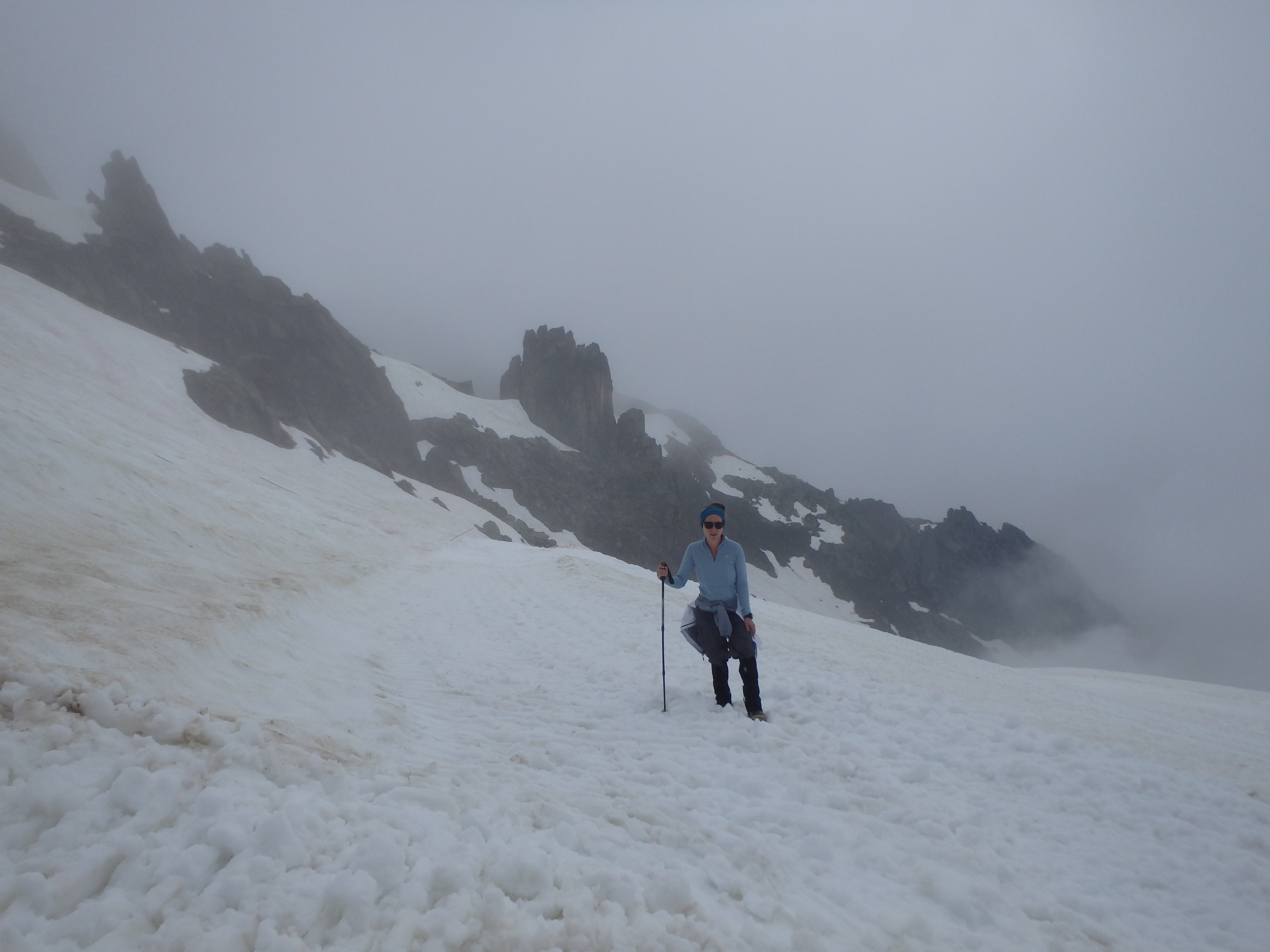
It only took about 45 minutes of hiking to reach the high summit ridgeline, marked with a trail junction and, somewhat surprisingly, a tent above the treeline. I had hoped for better views on the other side of the ridgeline, but that was in clouds as well, and we continued along the gentle slope towards the summit buildings.


 We had small glimpses to Lac Brevent in the valley below, but the views remained obscured until we reached the summit building only about an hour from starting out. Just as we hit the summit, our luck with rain ran out, and we ducked into a narrow doorway to get out of the rain, the various buildings still locked up for the year.


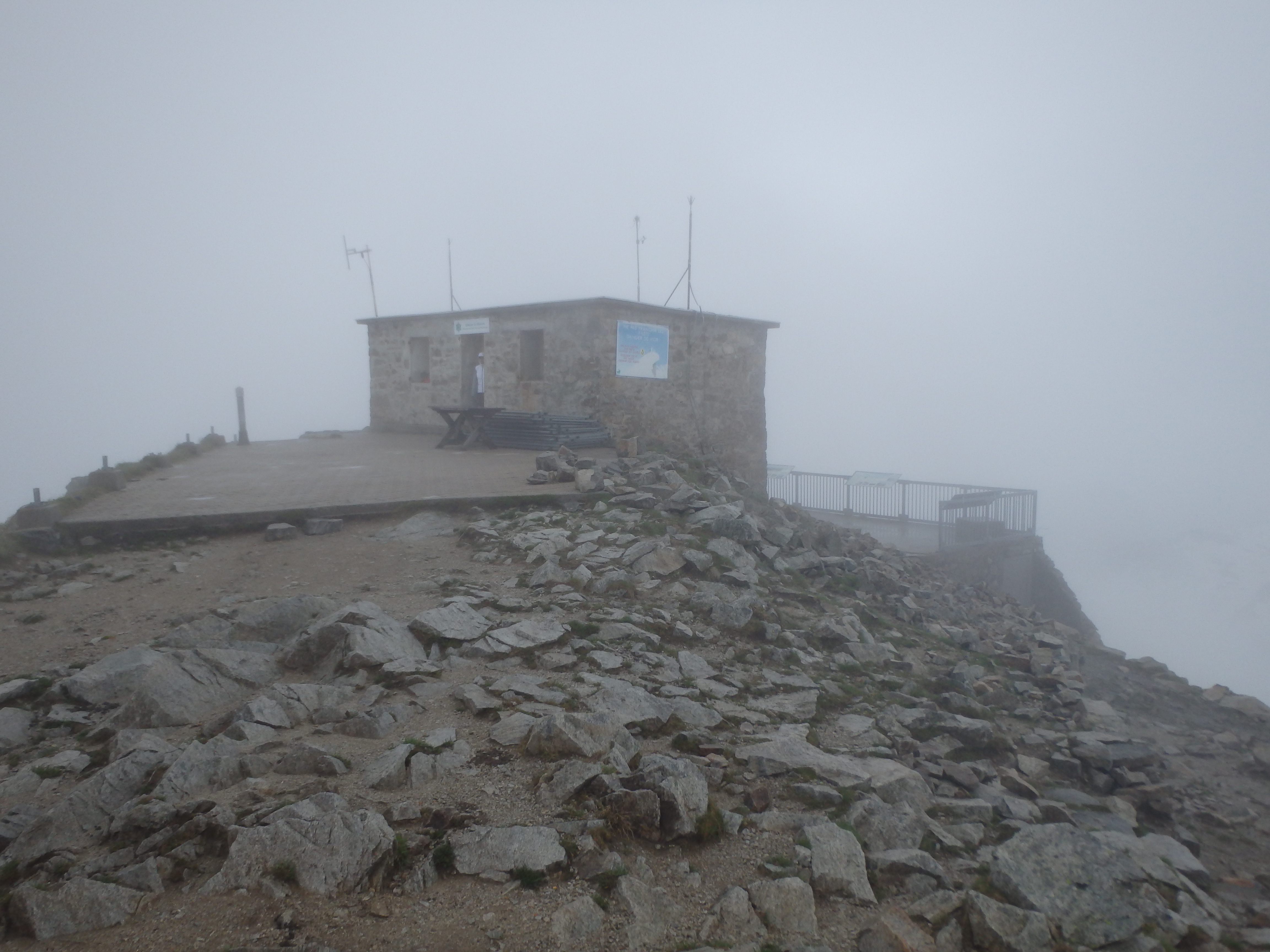


When I checked the radar, it seemed like the rain would only be getting worse throughout the day, and I had little hope of waiting out the storm. So we cinched up our jackets, took a few pictures of the summit signs, and started back down the way we came. Surprisingly, the rain stopped by the time we started working off the ridgeline, and halfway down we even had glimpses of sun. We passed by the various groups practicing glacier skills, a number of them having built anchors and trying crevasse rescue.


We were almost to the last switchback when a bulldozer, which had been parked near the summit, came barreling down the path, creating small avalanches and sending the groups practicing scrambling to get out of the way… The weather was looking even better by the time we reached the Planpraz lift, and we stopped in the open coffee shop for a panini lunch and celebratory beer for the summit that proved to be quite a bit easier than we both expected. The clouds parted just enough to offer a glimpse of Mont Blanc and the summit of Le Brevent, and we headed back down into the valley to explore Chamonix a bit more before heading into Italy the next day for Gran Paradiso….

