
Mount Dade 13,653′, Mount Gabb 13,717′, and Mount Hilgard 13,366′
Sierra Nevada
Total Time: 16:30
Distance: 20.3 miles
Elevation Gain: 8,900′
Crux: Class 3
Trailhead: Mosquito Flat Trailhead, pit toilets


I only had a handful of SPS summits left from the Rock Creek trailhead after climbing the Northeast Ridge of Bear Creek Spire the previous summer: Mount Dade, Mount Gabb, and Mount Hilgard, all surrounding the Hilgard Fork of the Bear Creek drainage. I wanted to climb all three in a single long day, but I also wanted to ascend Mount Dade via the Hourglass Couloir, one of the Sierra’s classic snow climbs. That made timing the outing a little tricky—I needed enough snow to keep the Hourglass enjoyable, but not so much that conditions would complicate a 20-plus-mile day. Satellite imagery suggested there would be a good window in early July, so I set aside a day during a weeklong vacation in Mammoth. Wanting to hit the Hourglass while the snow was still firm, I left the trailhead shortly after 3 AM, a nearly full moon illuminating the familiar peaks across the Rock Creek drainage. I moved quickly past Marsh, Heart, and Box lakes before reaching Long Lake. The bright moon and perfectly still water made it possible to see almost to the bottom of the deep lake. I expected to find an unmarked use trail leading toward Treasure Lakes but had no such luck in the dark, so I made easy cross-country progress through open forest instead.
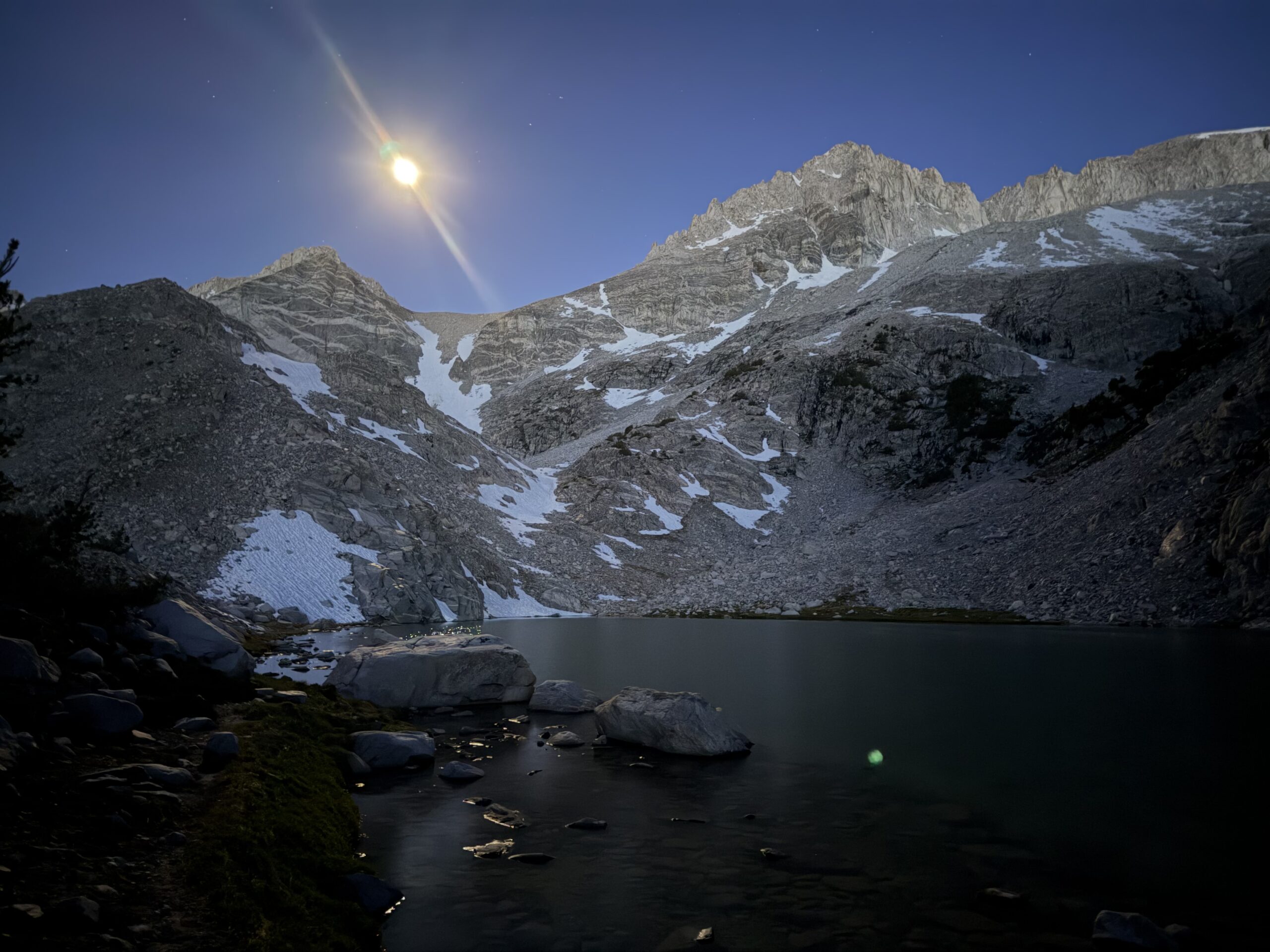
A lingering snowfield blocked the far end of the lake, and I stopped to filter a liter of water before scrambling around its edge. A more continuous snowfield below the Hourglass finally required crampons. I was able to turn off my headlamp as I reached the base of the classic snow climb, where nearly continuous snow still stretched to the saddle in early July.
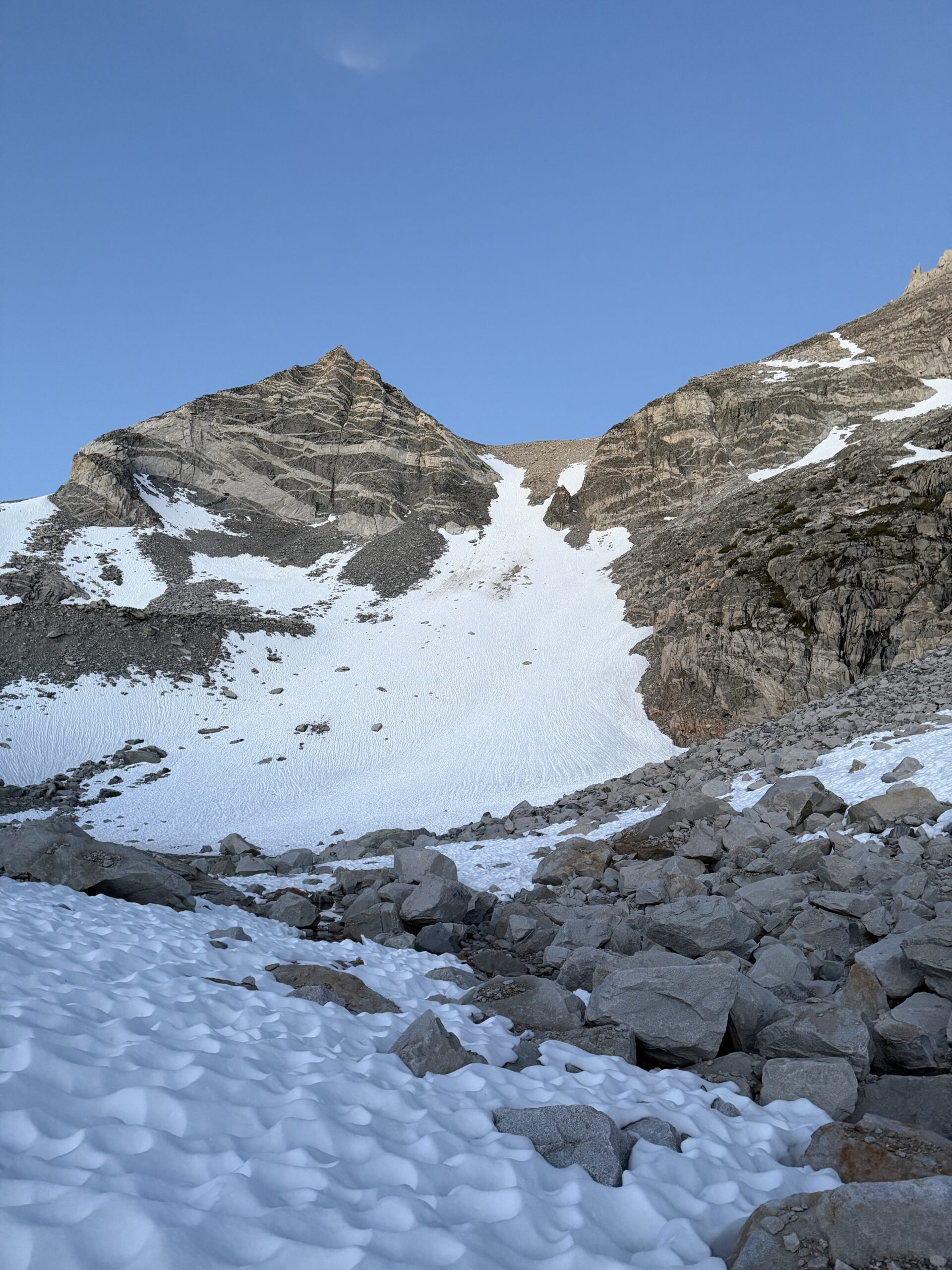
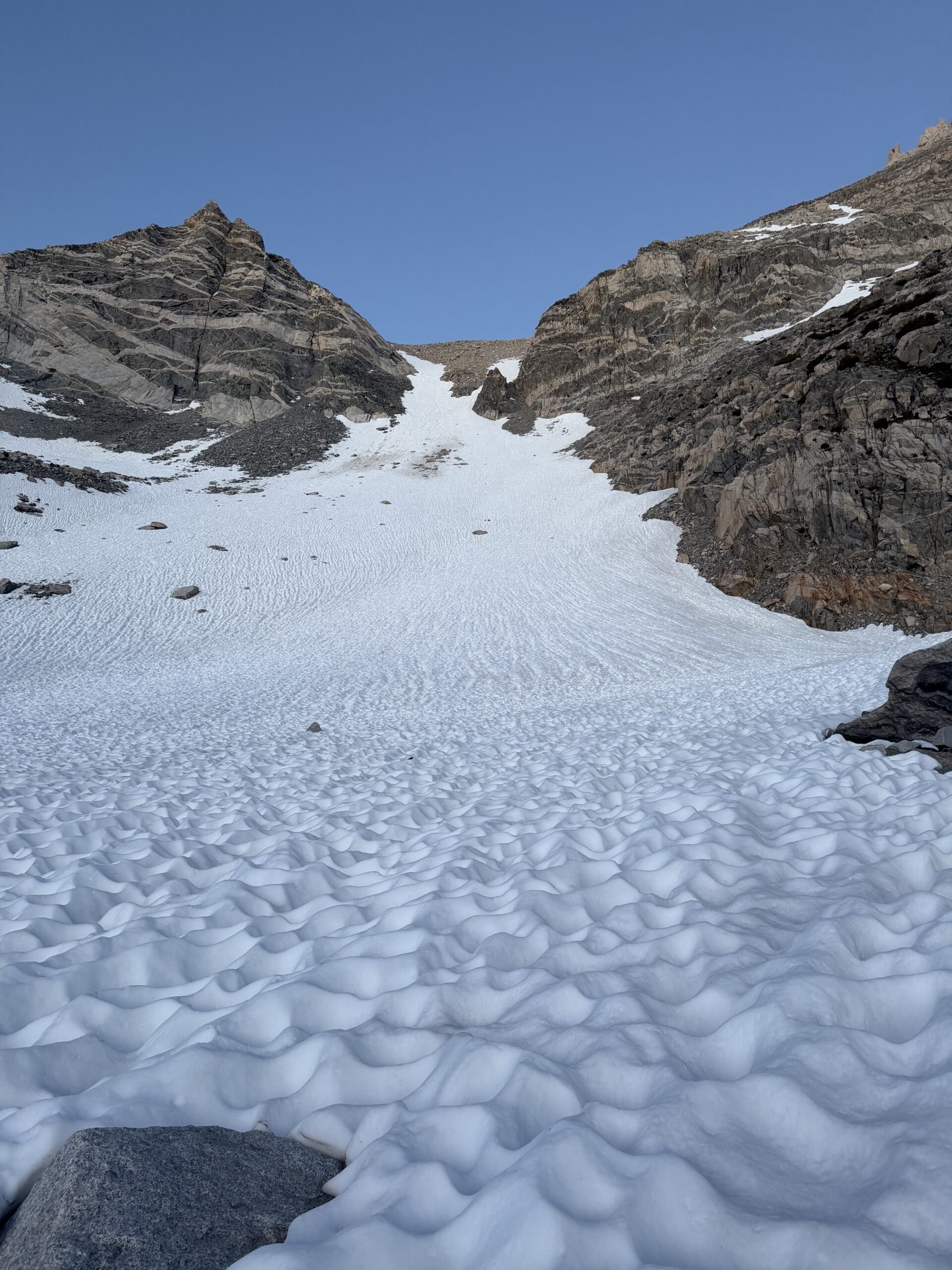
The slope was deeply suncupped, making it feel more like climbing a staircase than a sheet of snow and ice. It would have been difficult to take a sliding fall even if I had tried. The grade steepened at the waist of the Hourglass and the suncups became shallower. While never particularly sketchy, it was certainly the most technical section of the short climb.
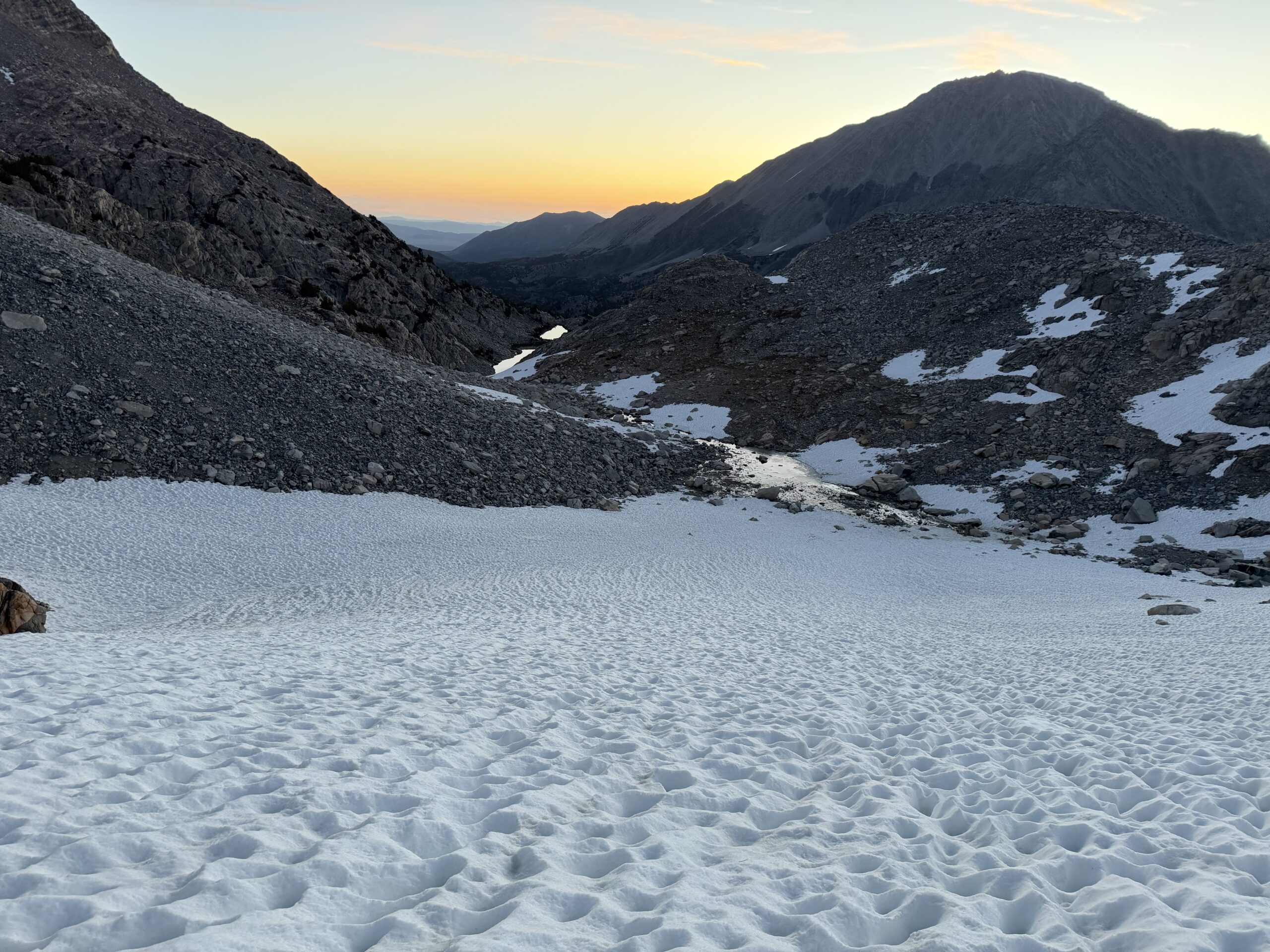
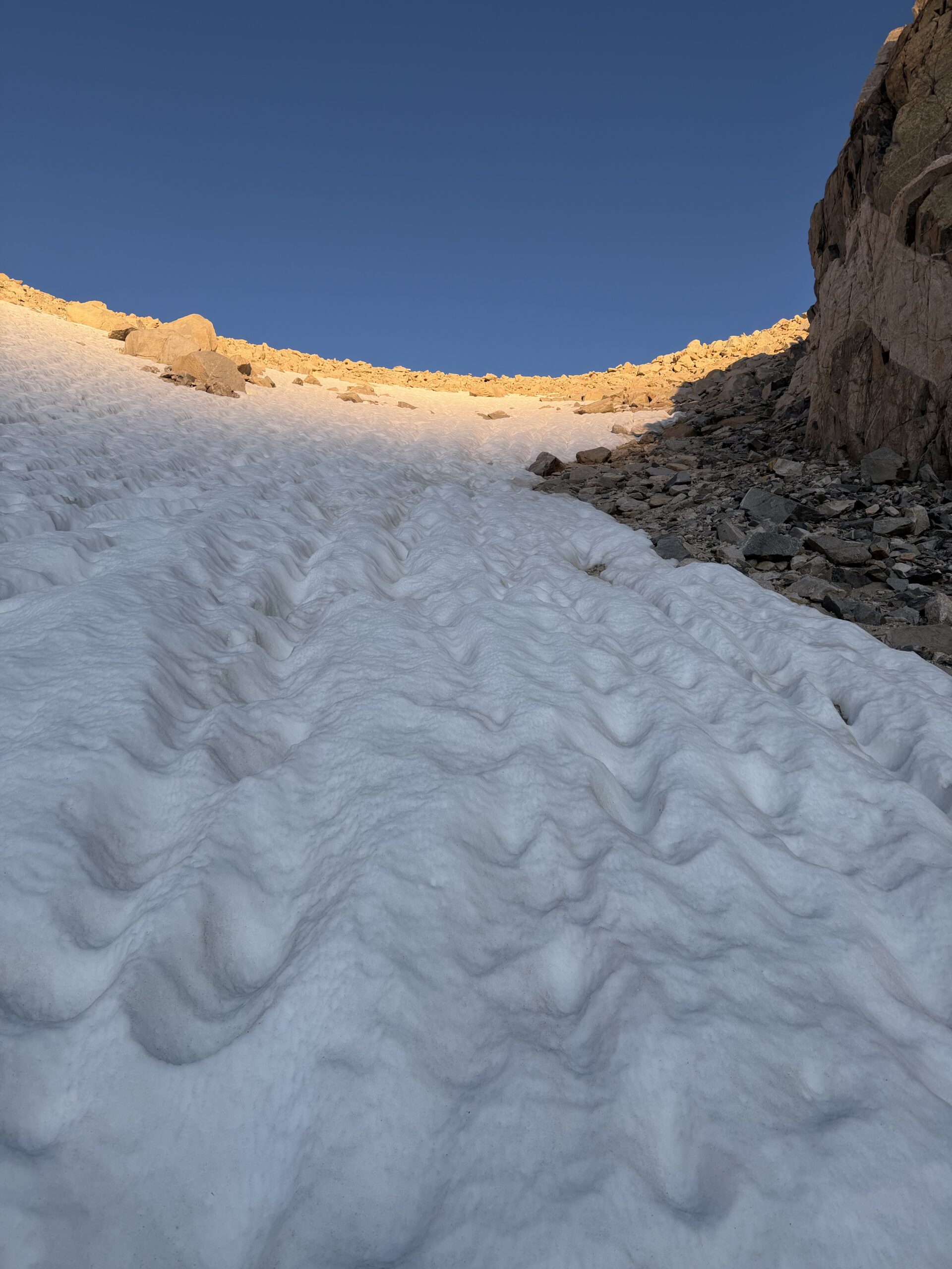
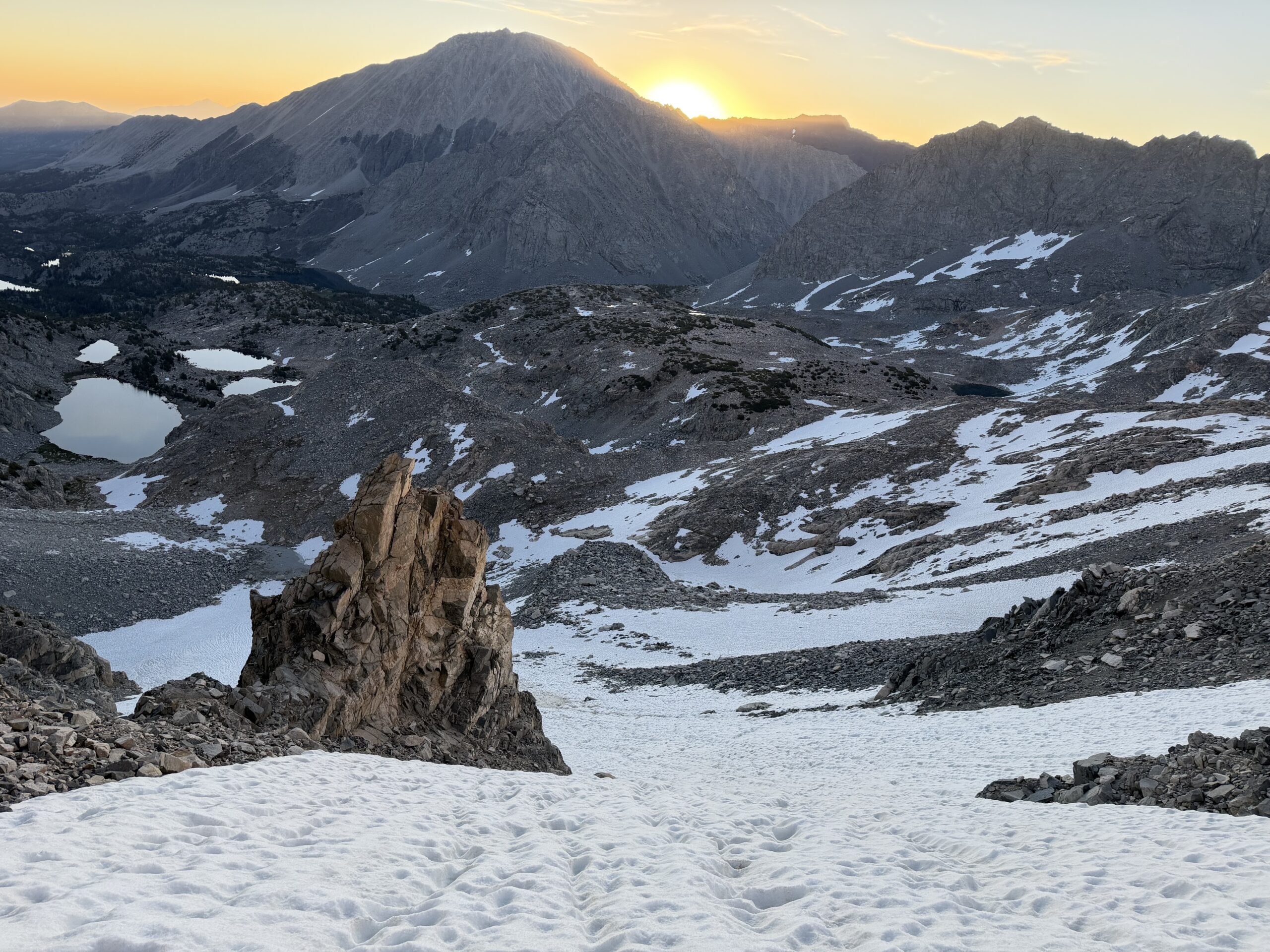
The first rays of sunlight were just touching the upper snowfield as I neared the saddle, and I topped out almost exactly at sunrise. Above the saddle, a continuous scree slope led toward the summit of Dade. With the snow climbing behind me, I settled into the long slog upward, sticking to solid rock whenever possible.
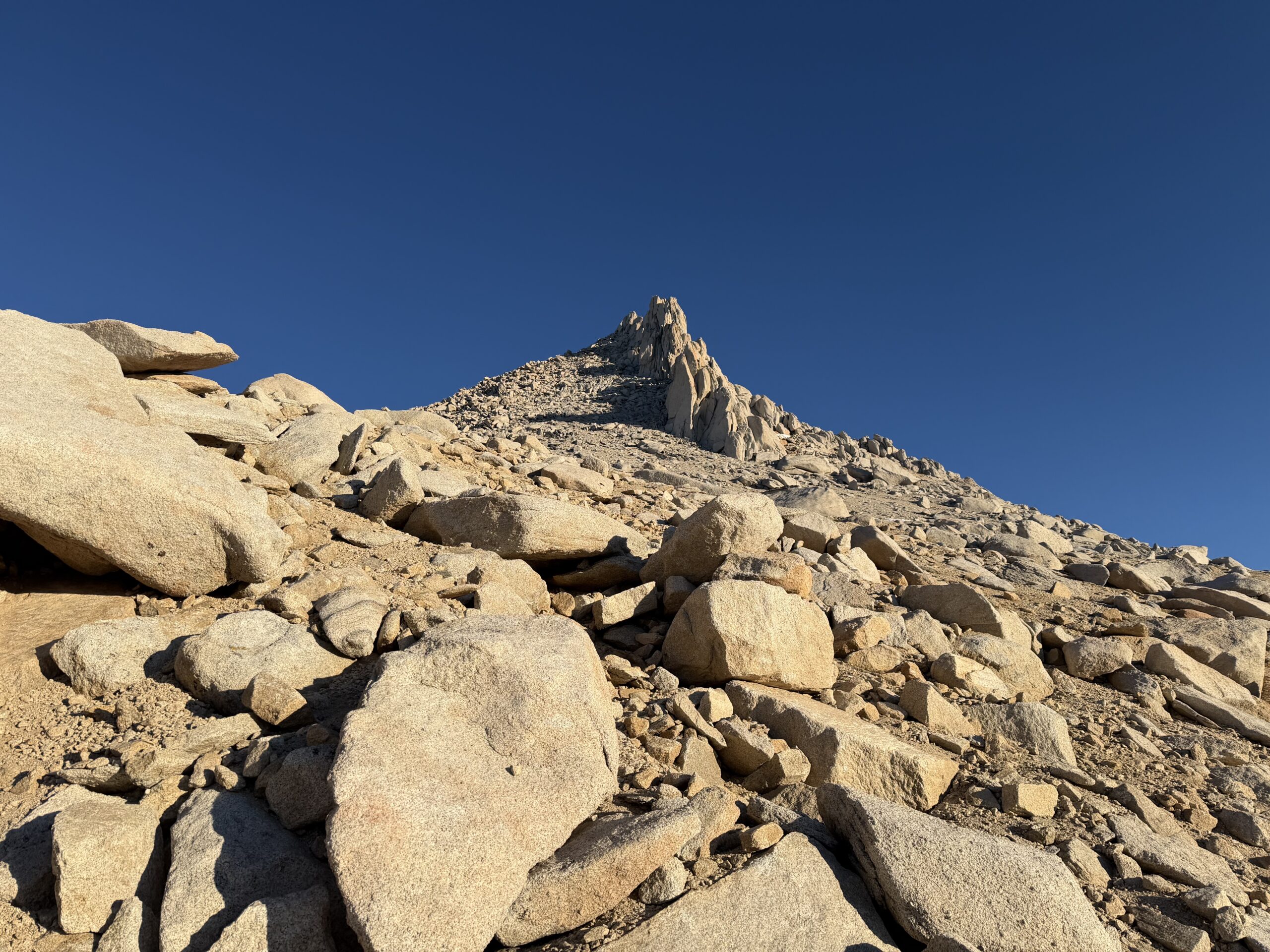
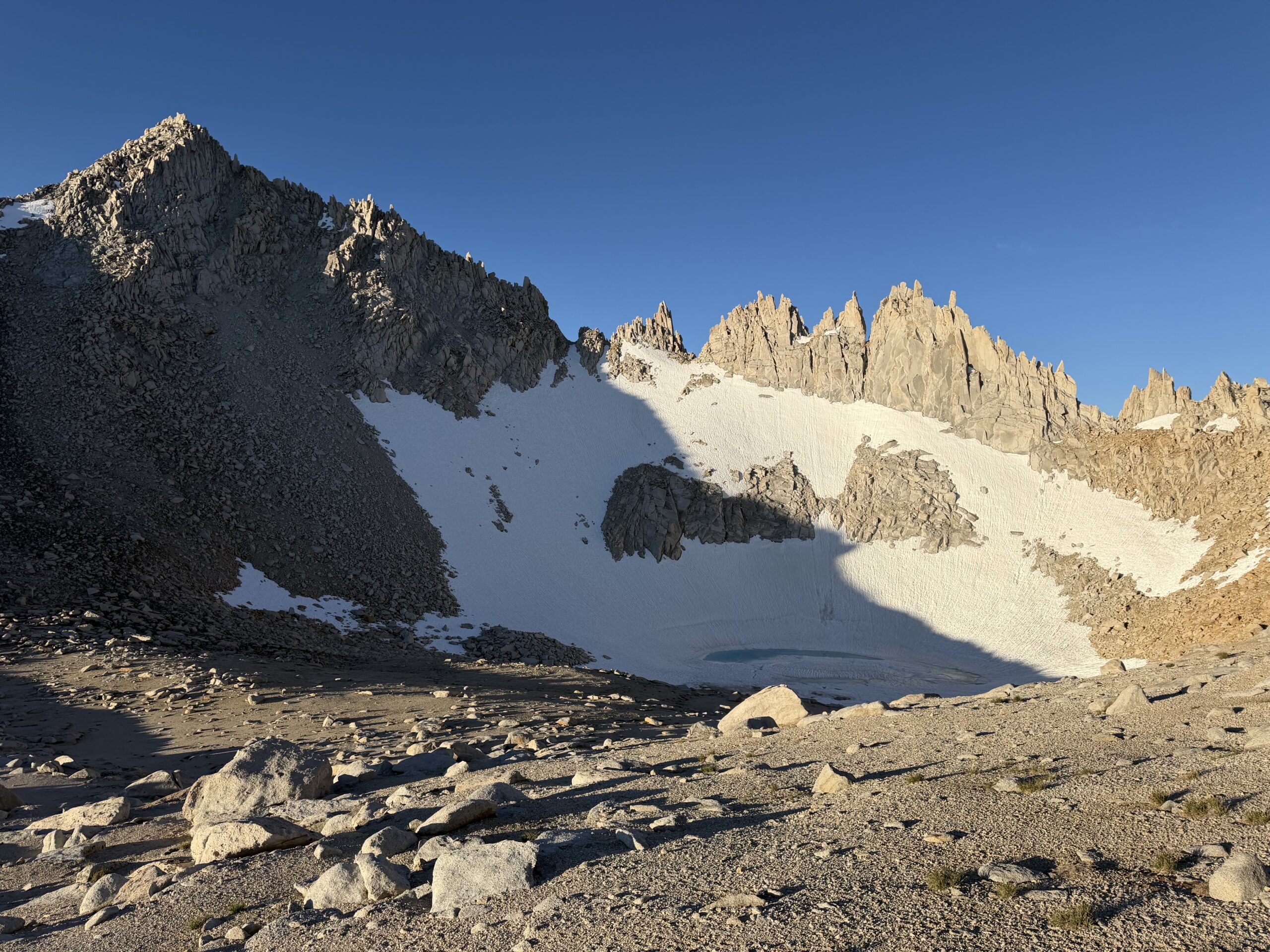
I reached the summit around 7 AM, taking just under four hours from the trailhead—a pace I was happy with considering the long day still ahead. After a short break and a few reluctant calories, I tried not to think about how distant Mount Hilgard looked on the horizon.
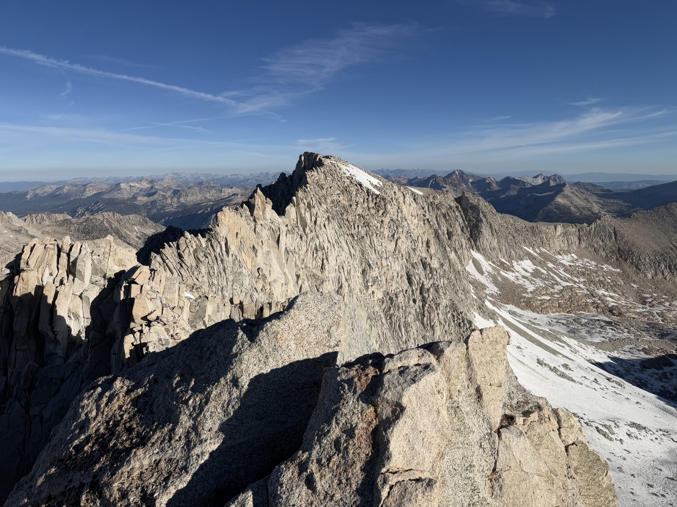
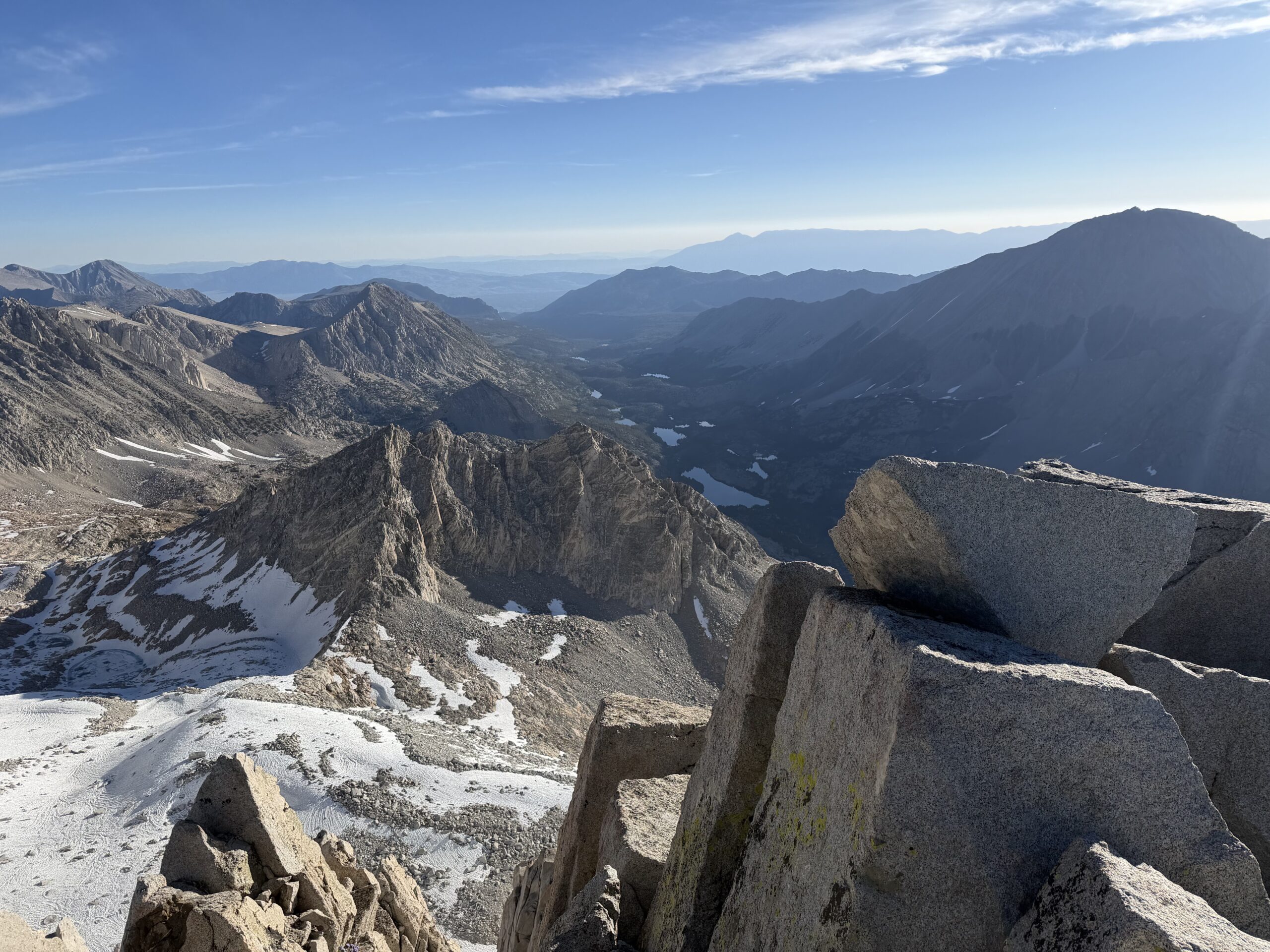
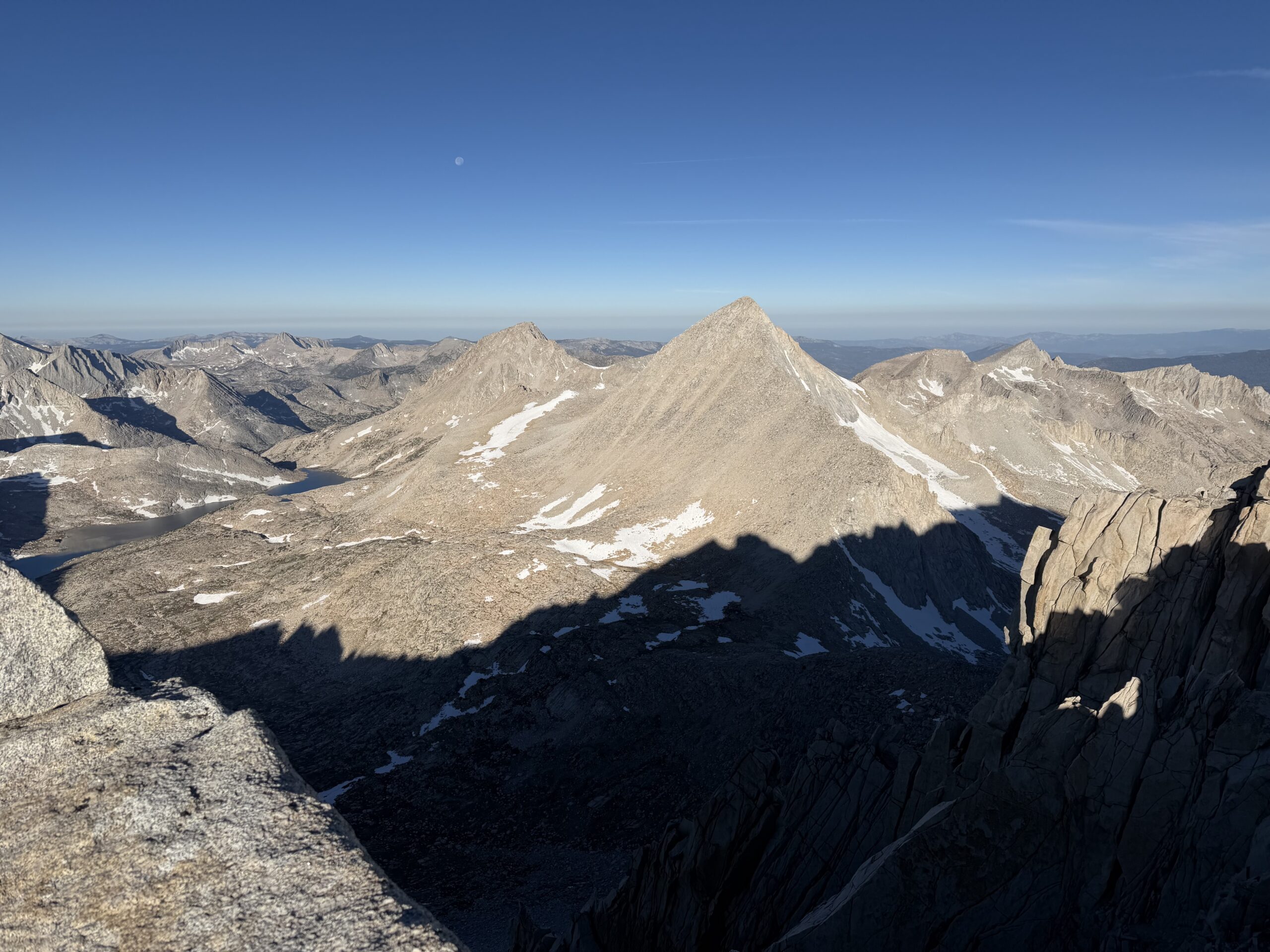
From the summit, a fairly direct descent toward Gabb appeared possible through a loose gully. I dropped briefly down the south ridge to avoid cliff bands before descending the southwest face. Although it looked pleasantly sandy from above, the slope held more talus and half-buried slabs than expected, making for a tedious descent instead of the easy boot skiing I had hoped for.
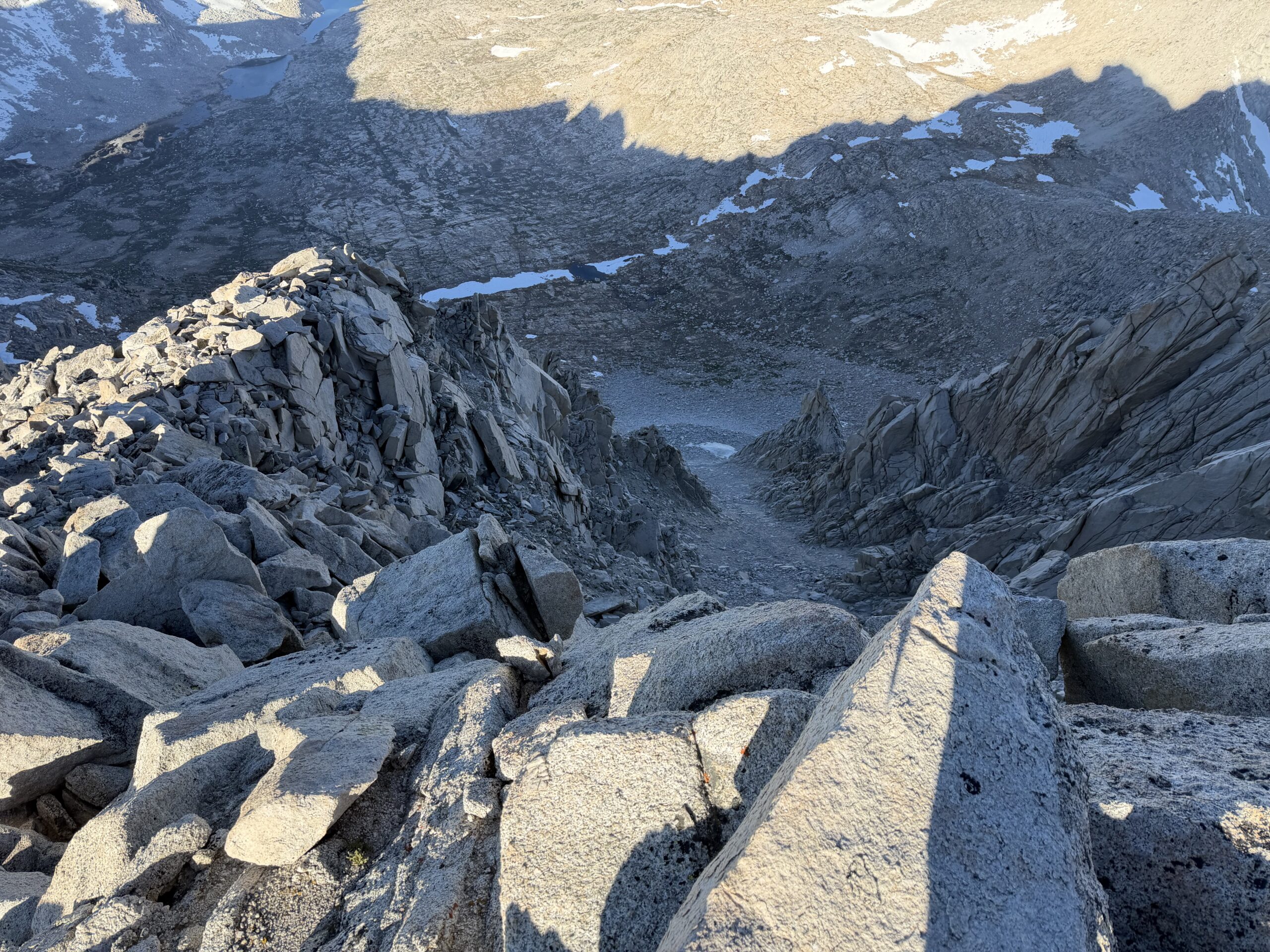
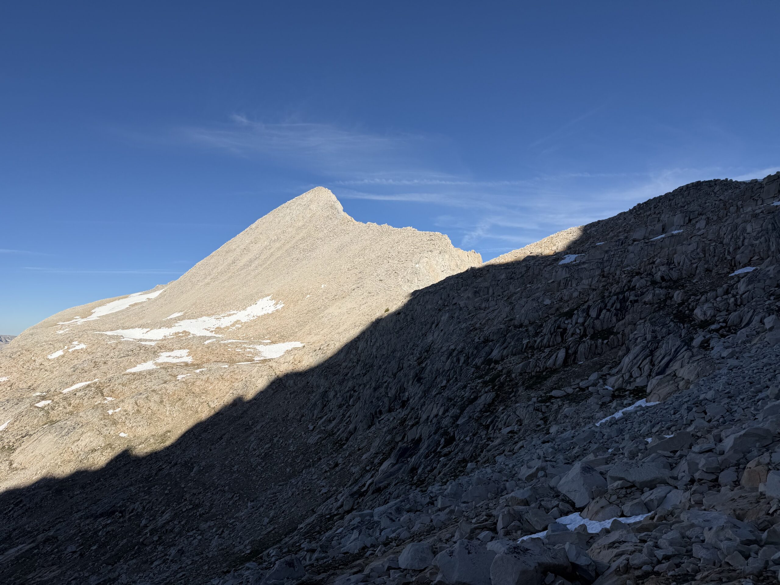
The gully deposited me onto an alluvial fan of boulders, and I traversed west toward Gabbot Pass, linking granite ledges and slabs to avoid unnecessary elevation loss. From the pass, Mount Gabb resembled an enormous pile of loose sand and rubble. I climbed lingering snow patches on the southeast face before aiming for a rib of more solid-looking rock left of one of the larger gullies. The rock turned out to be much better than expected, with enjoyable Class 3 climbing on granite benches and larger boulders higher on the mountain.
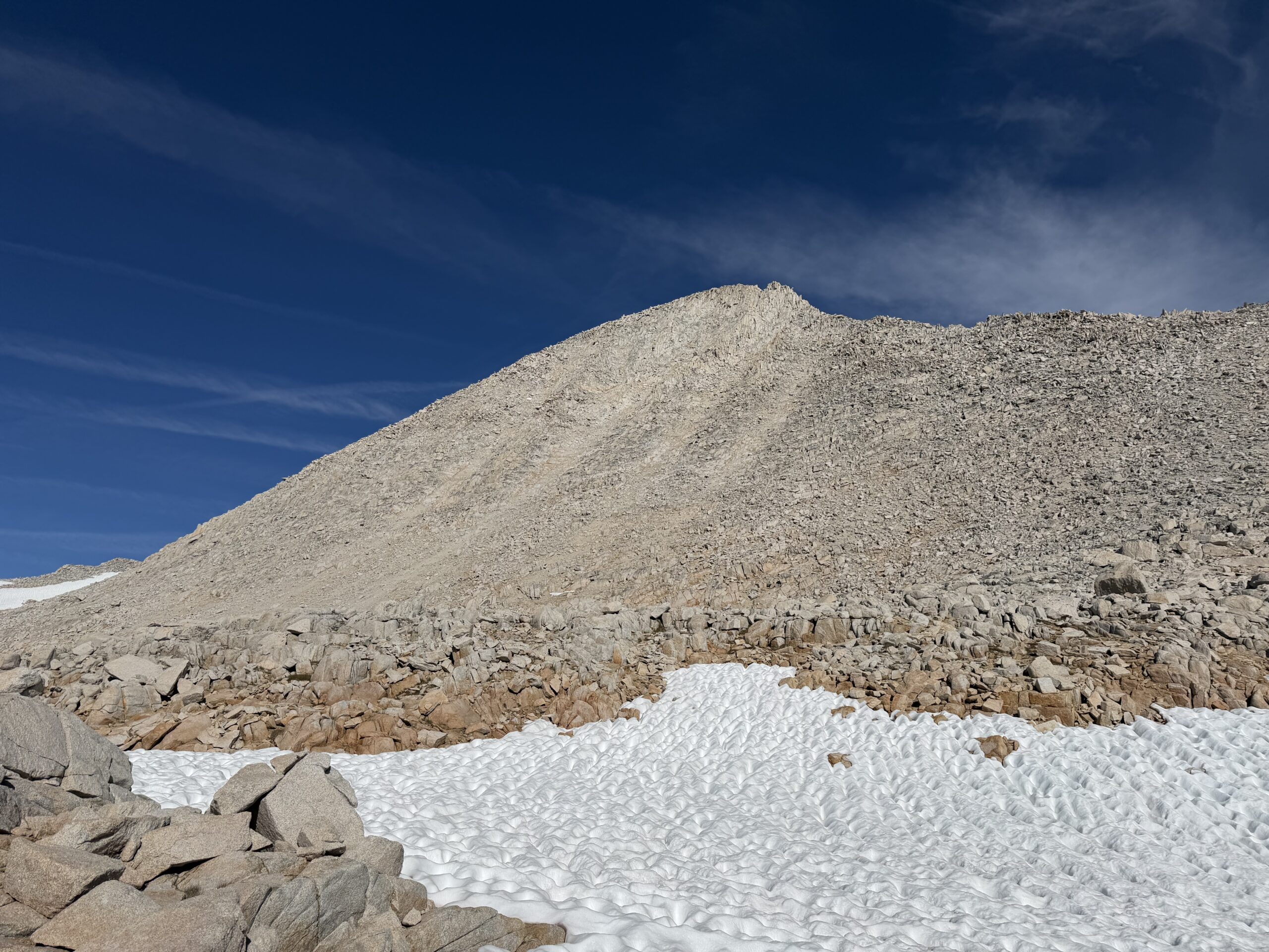
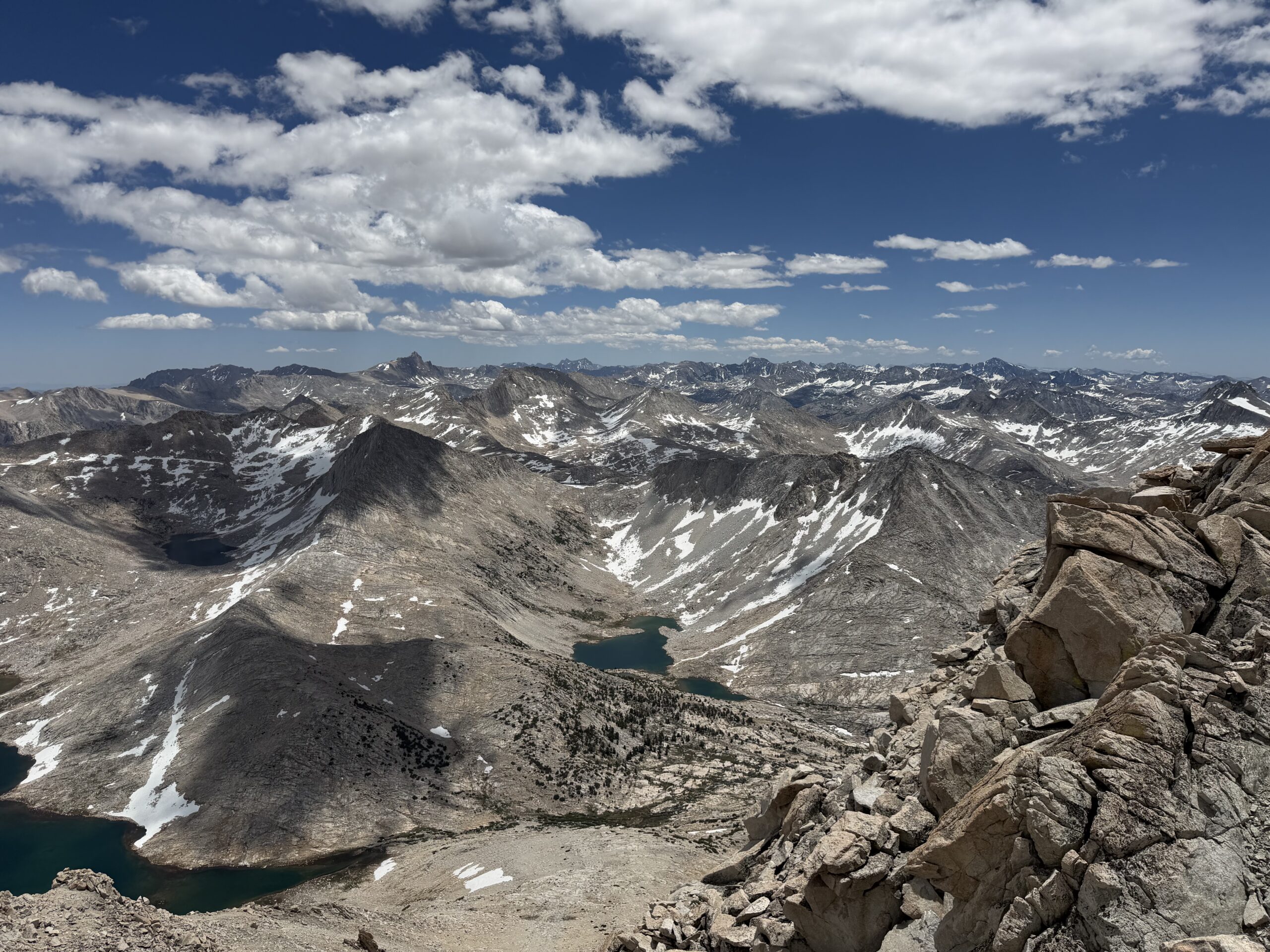
Even with the surprisingly solid rock, the roughly 1,400-foot climb from Gabbot Pass, combined with my first time above 13,000 feet that year, took its toll. The traverse between the summits ended up taking almost exactly three hours. After tagging the summit block, I lingered a little longer, enjoying the expansive views and realizing I had now climbed most of the surrounding SPS summits. I was surprised by how sparse the summit register was, with only a handful of entries each year.
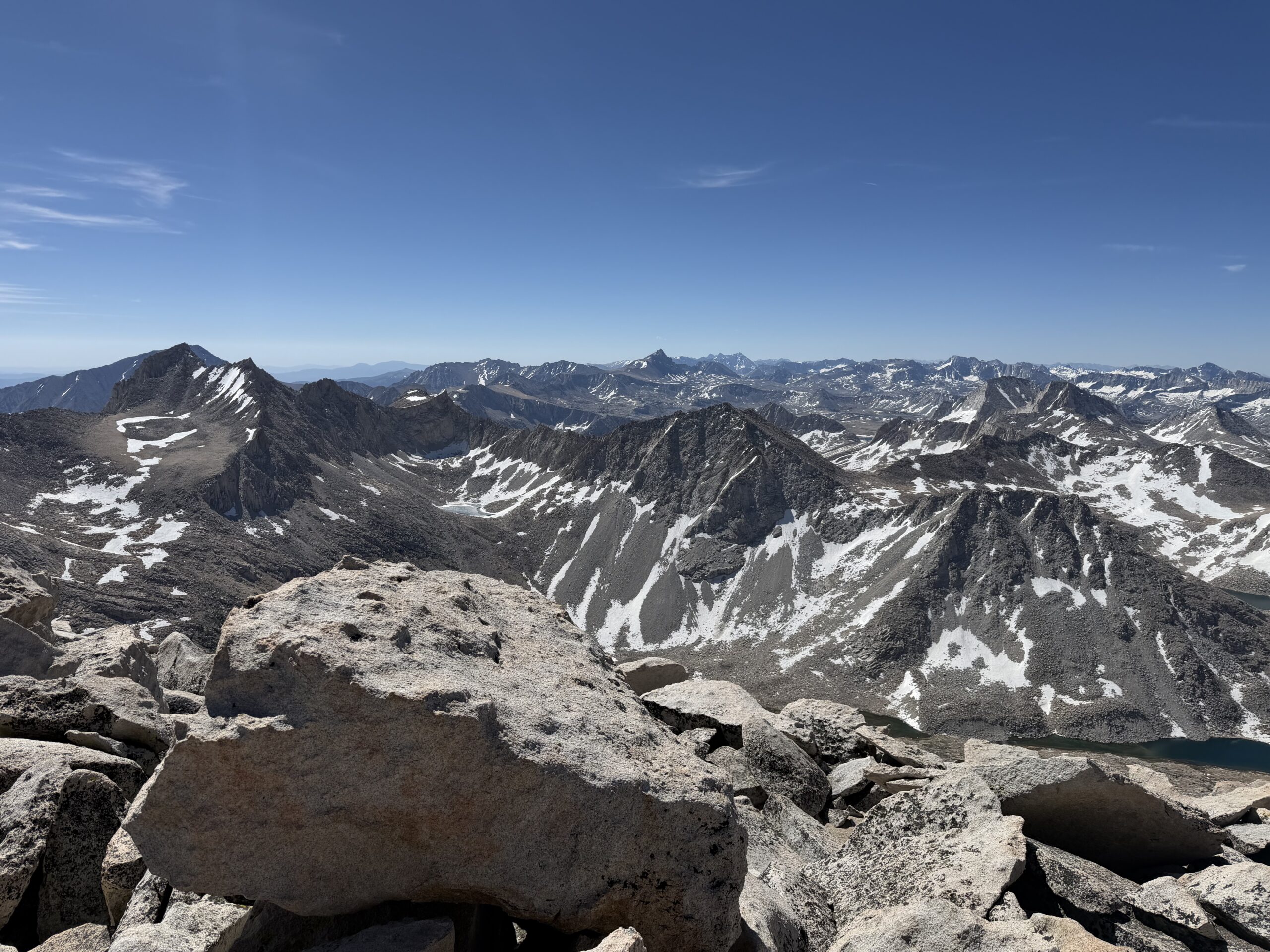
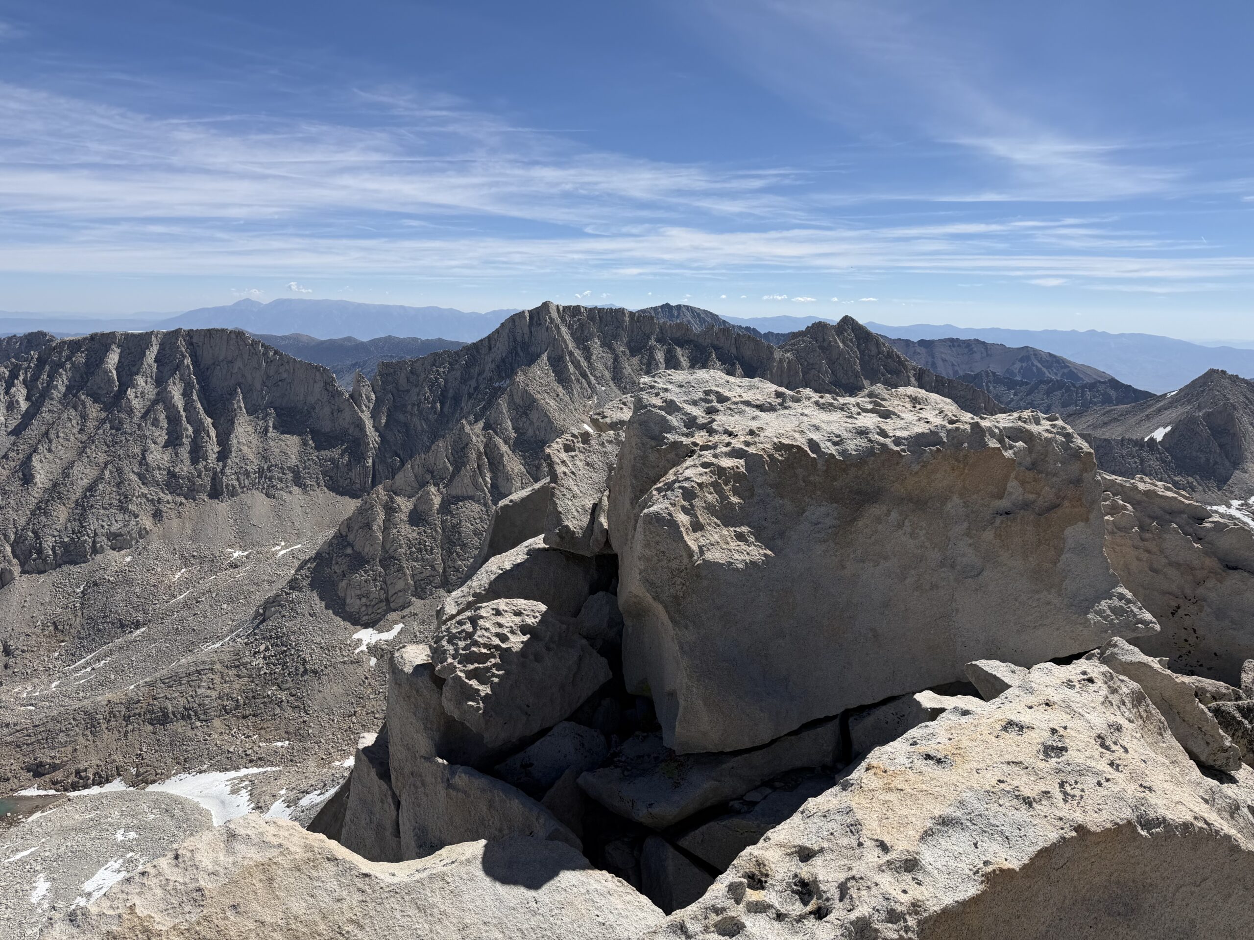
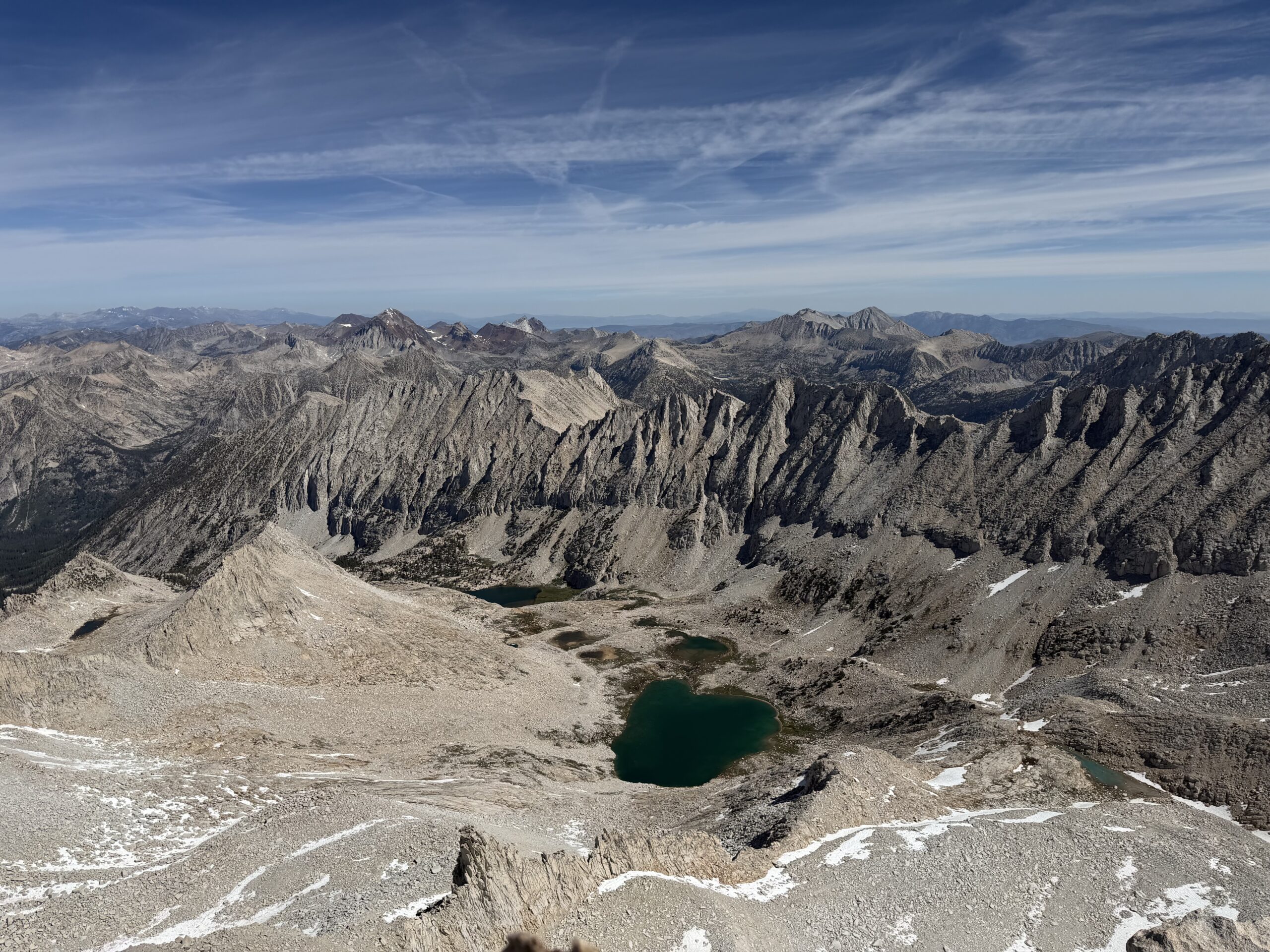
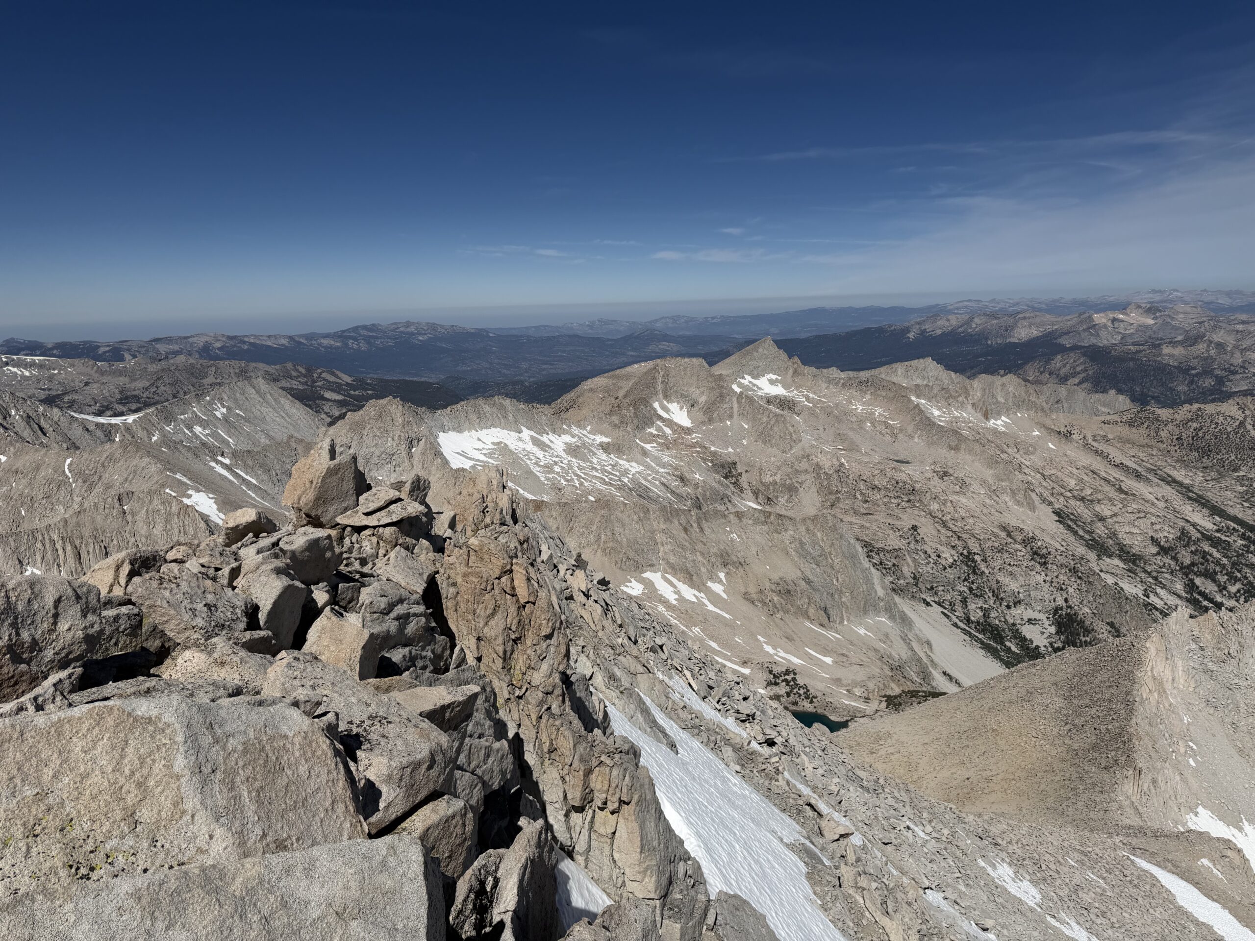
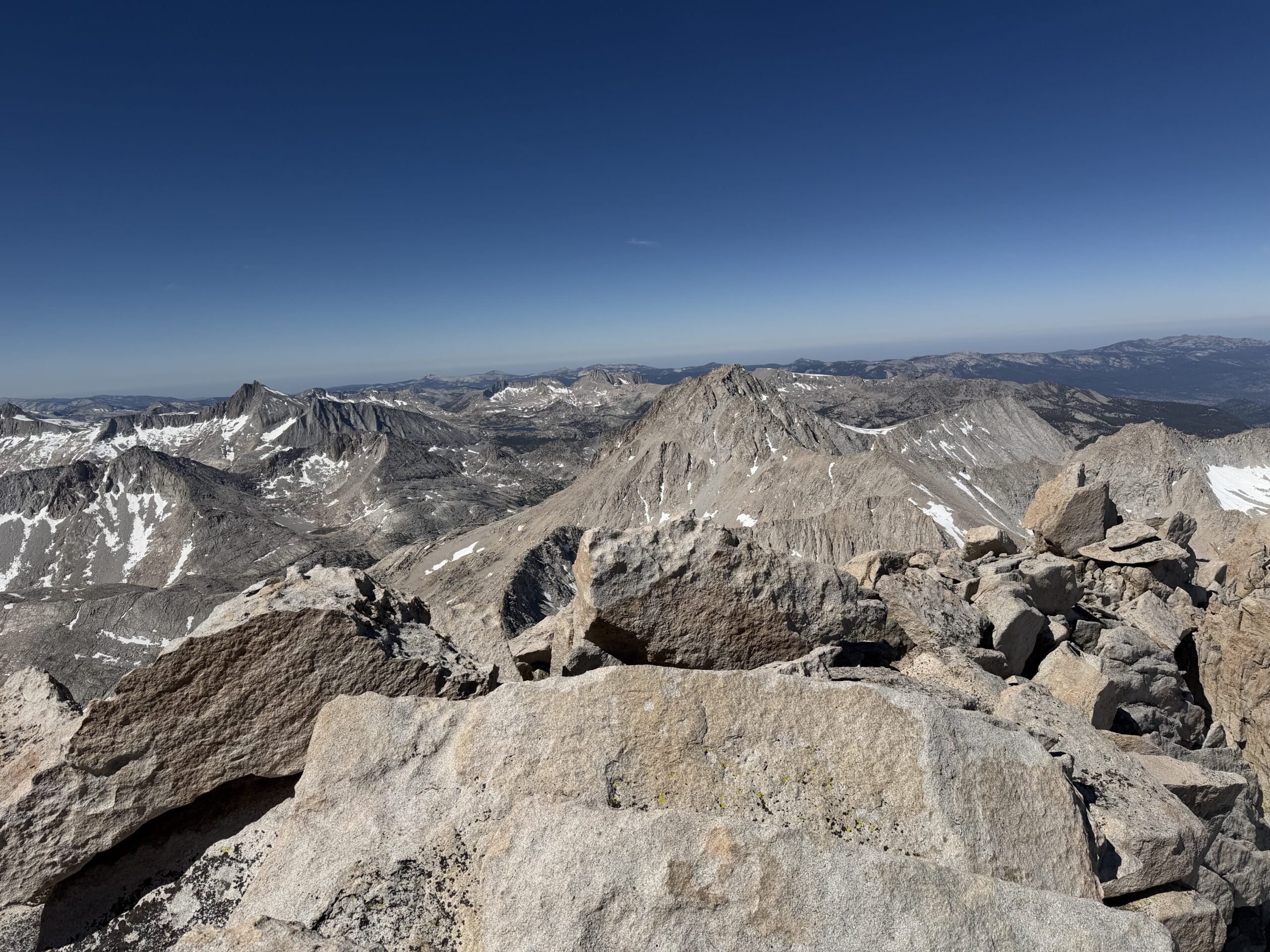
I looked across Lake Italy toward Mount Julius Caesar, a shorter 13er I had considered adding if I was moving well. Seeing it in person quickly changed my mind. Reaching it would require a 2,000-foot descent to the lake followed by an equally substantial climb, with no obvious line to Cox Col for the return to Rock Creek. Mount Hilgard already looked ambitious enough. The connecting ridgeline between Gabb and Hilgard was broken by several intervening bumps, so the quickest route was to traverse well below the south side of the ridge before climbing Hilgard’s southeast face. I descended directly from Gabb through more loose rock, carefully picking my way over shifting boulders until reaching sandy slopes below. After negotiating a short cliff band around one of the Mono Divide spurs, the terrain improved dramatically, giving way to pleasant grassy benches and broad granite ramps. It was about as enjoyable as off-trail travel gets.
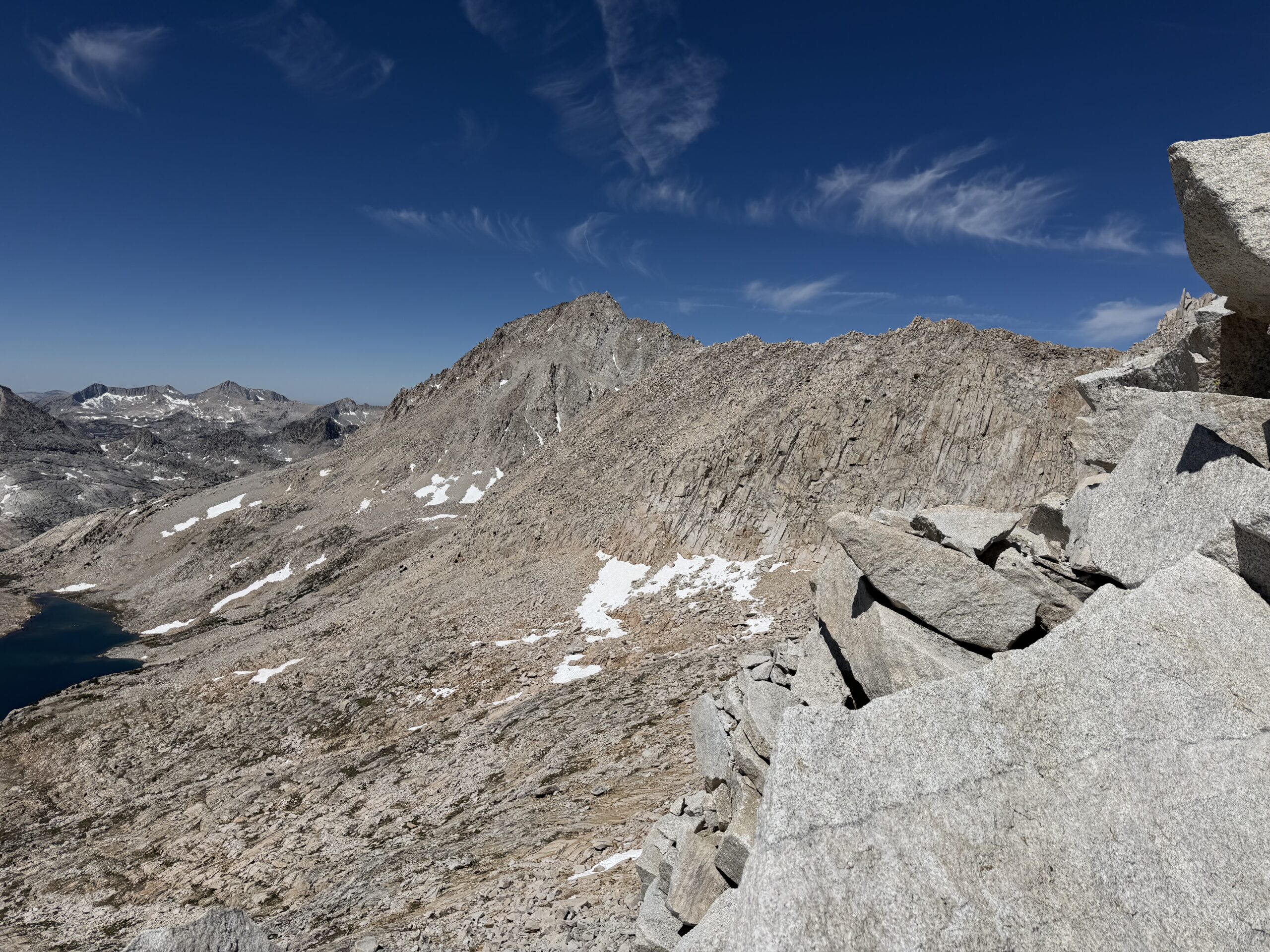
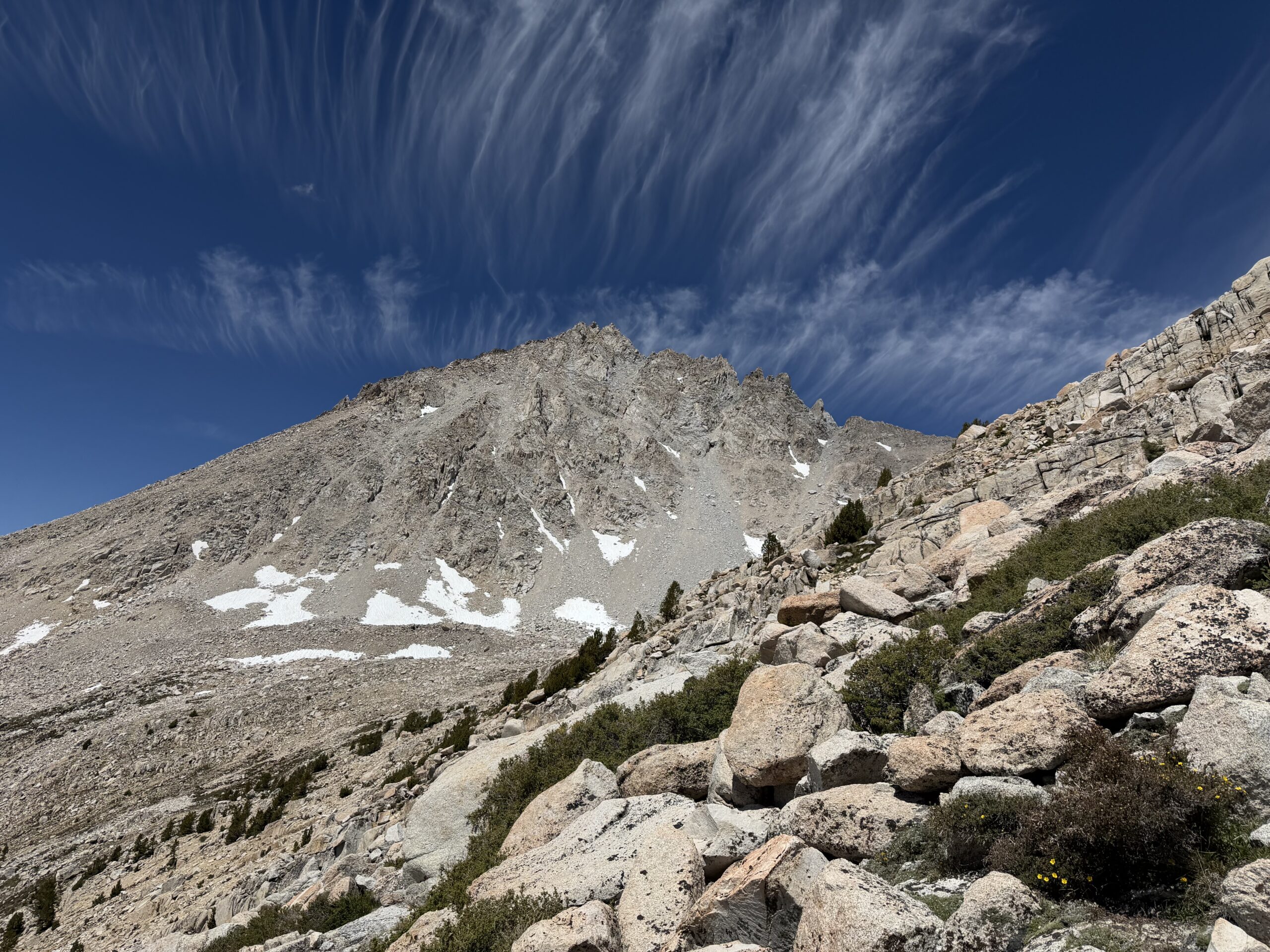
The traverse to the base of Mount Hilgard took about an hour. From below, the southeast face looked like an intimidating pile of loose choss, and the climbing largely lived up to that impression. I aimed for a shallow rib that appeared slightly more stable than the surrounding gullies. I more or less followed this in a direct line towards the summit, the rock quality slightly improving as I climbed higher.
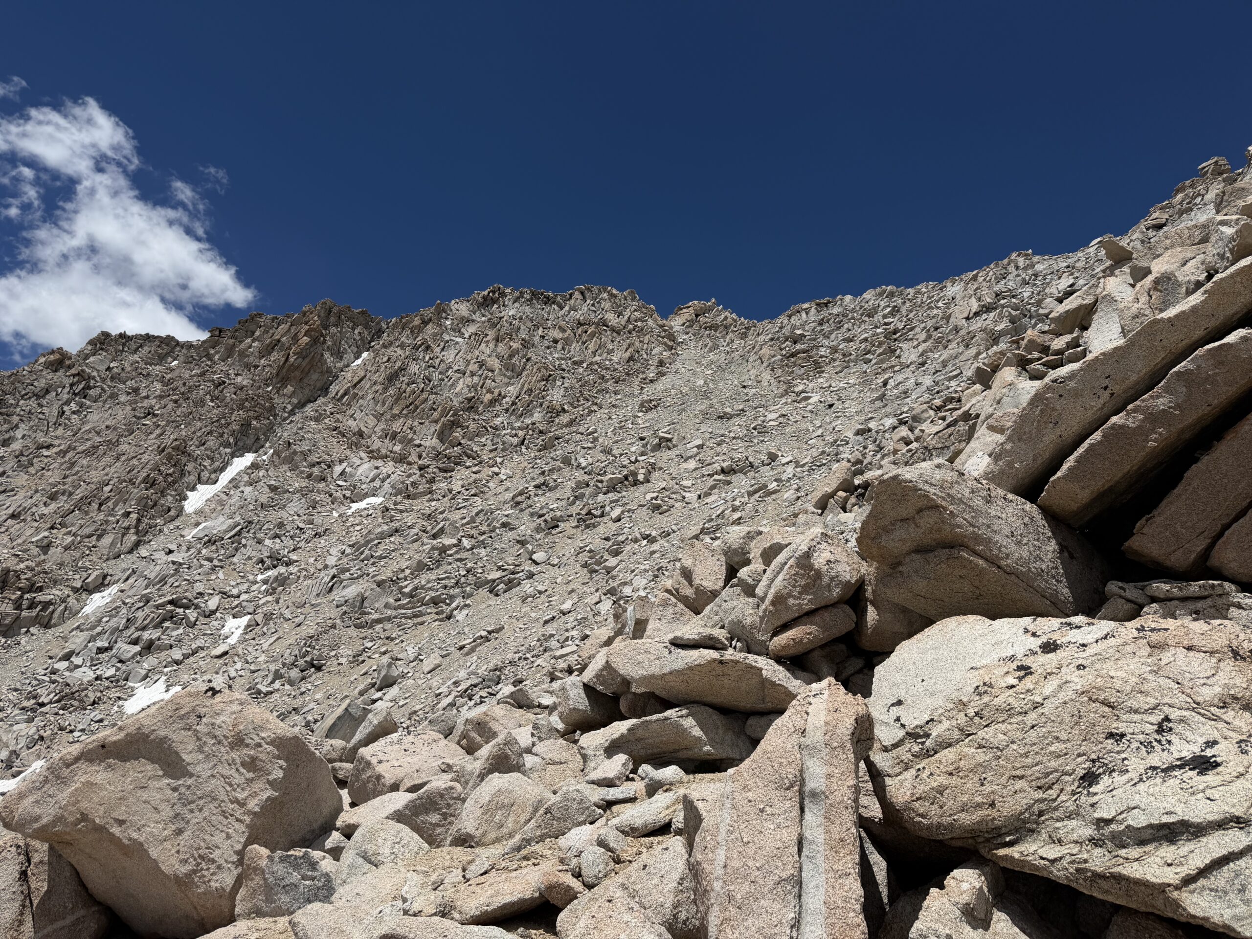
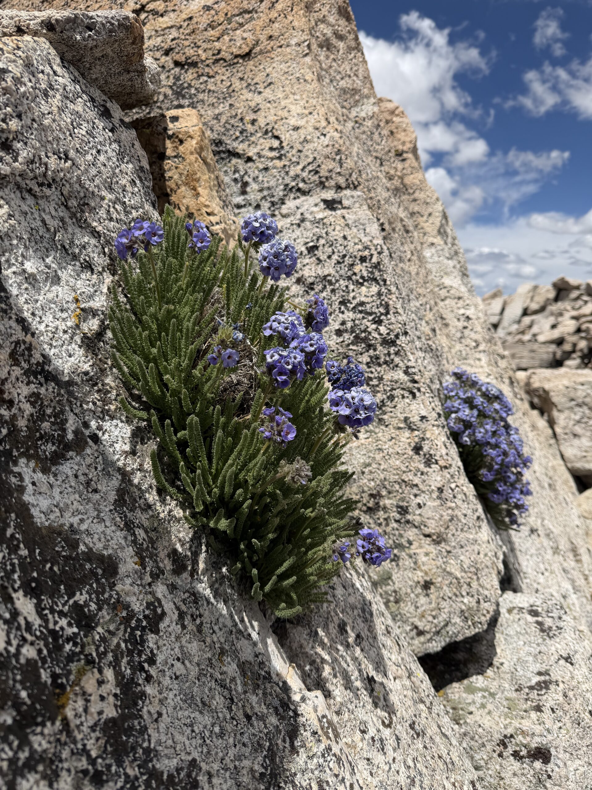
After mistakenly tagging a false summit I arrived at the high point just after 1 PM. Once again, the traverse had taken almost exactly three hours. Facing south while eating a quick snack, I deliberately avoided looking toward Cox Col, not wanting to acknowledge how much hiking remained.
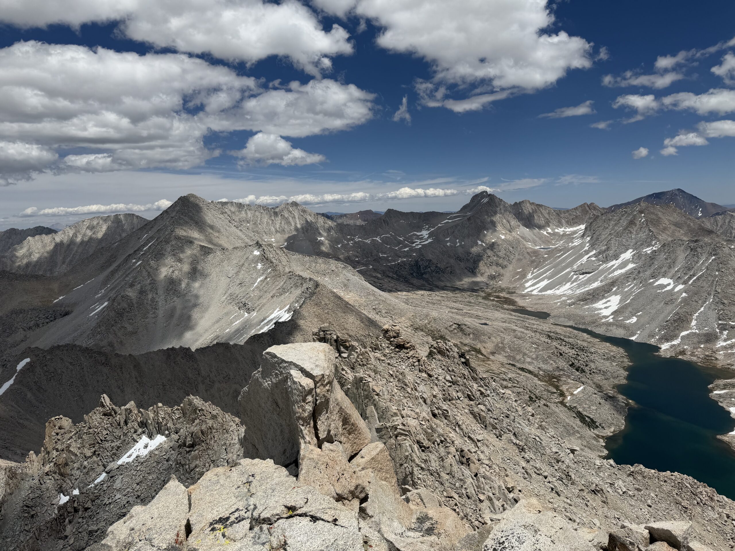
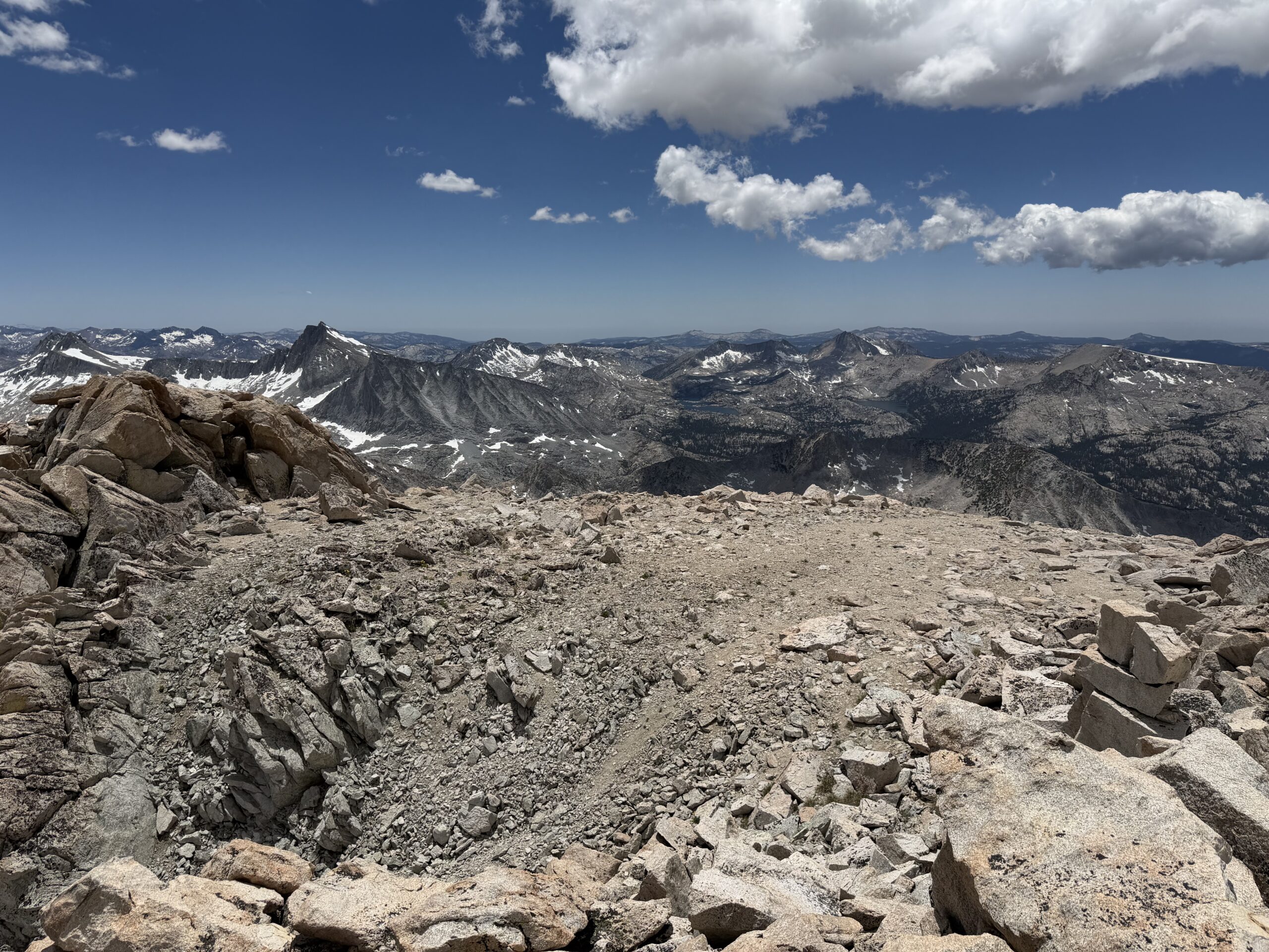
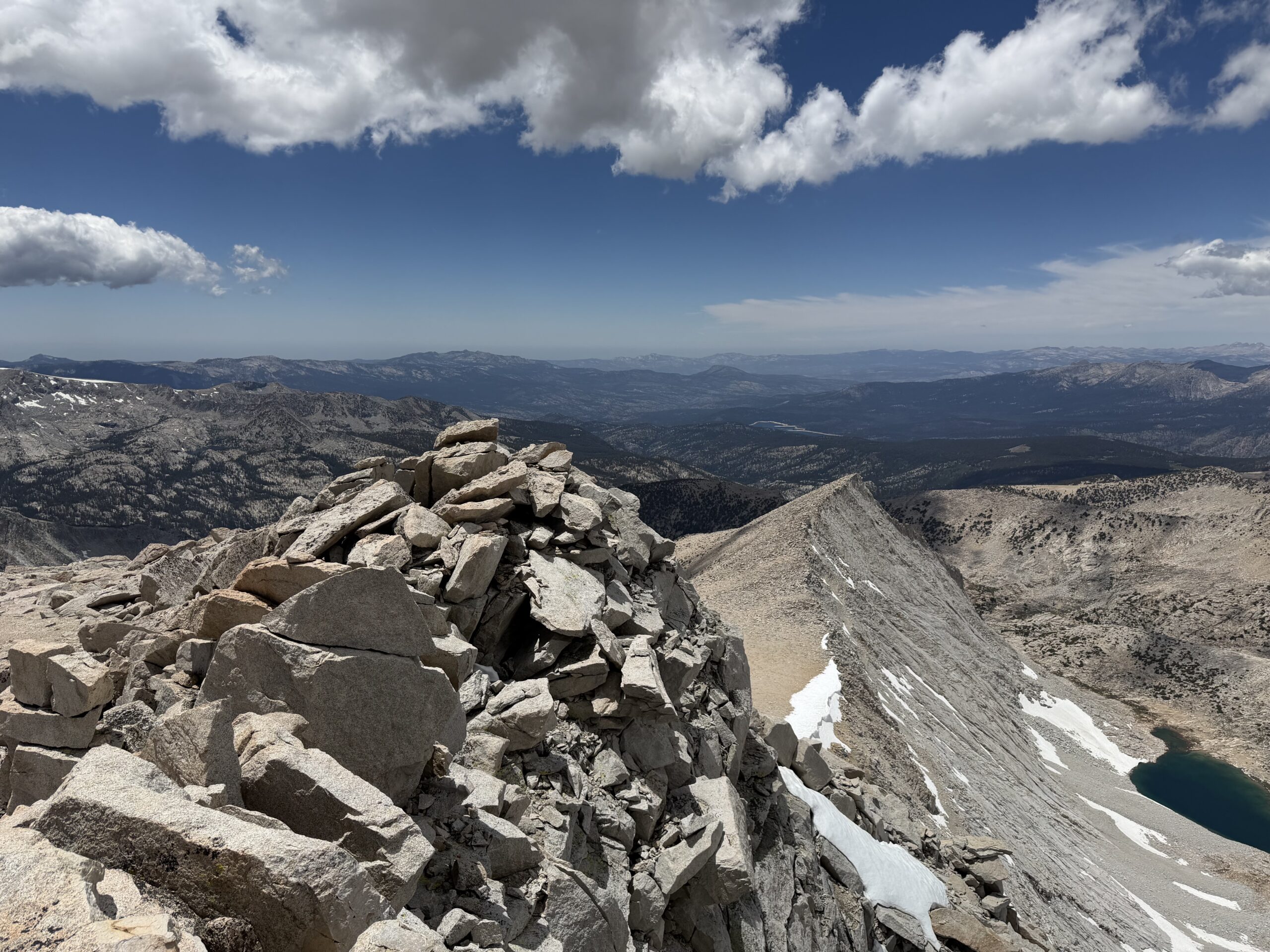
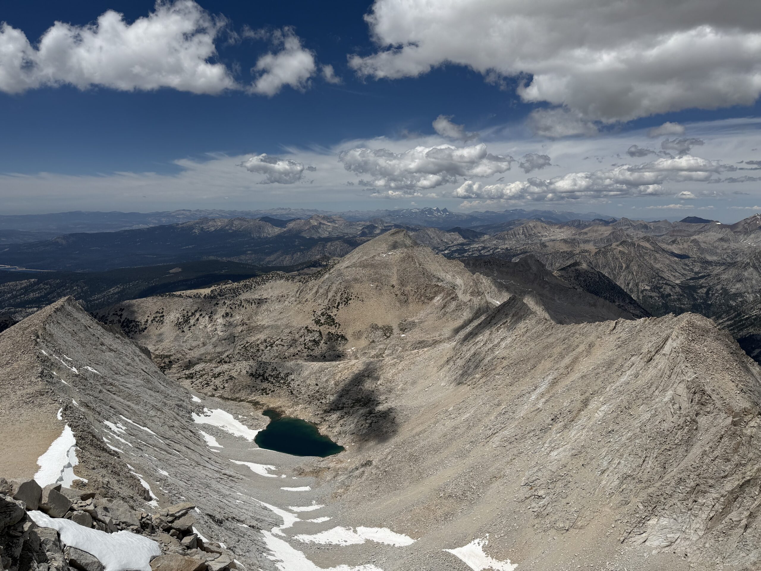
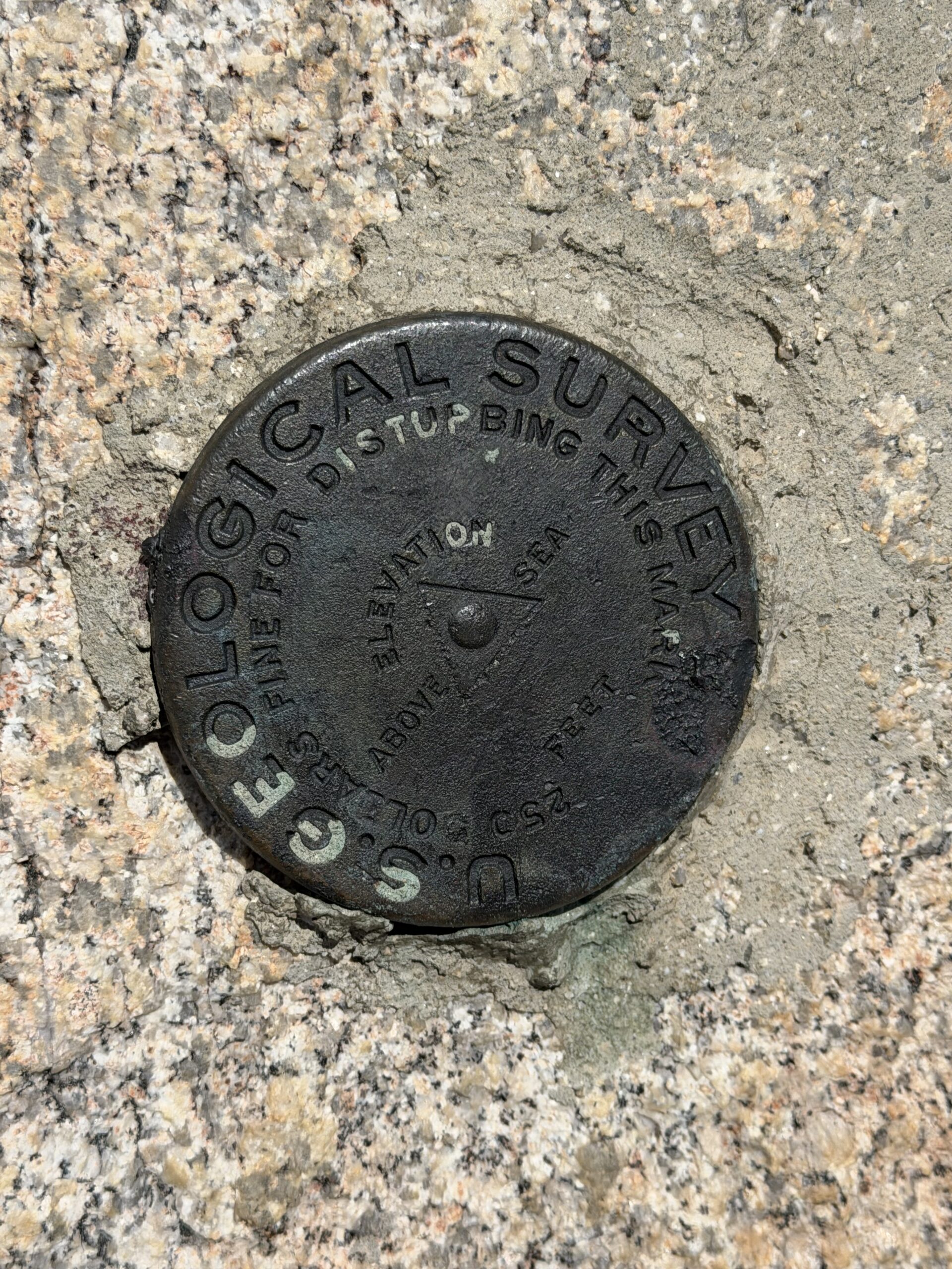
After signing the register—which seemed noticeably busier than Gabb’s—I retraced my route down the southeast face. I experimented with a scree gully halfway down but found it too slow, with several Class 3 sections interrupting any rhythm.
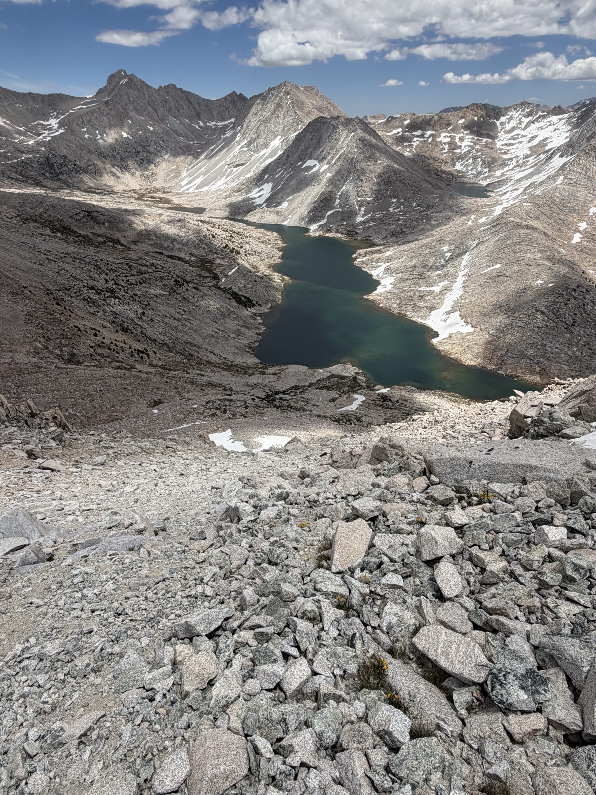
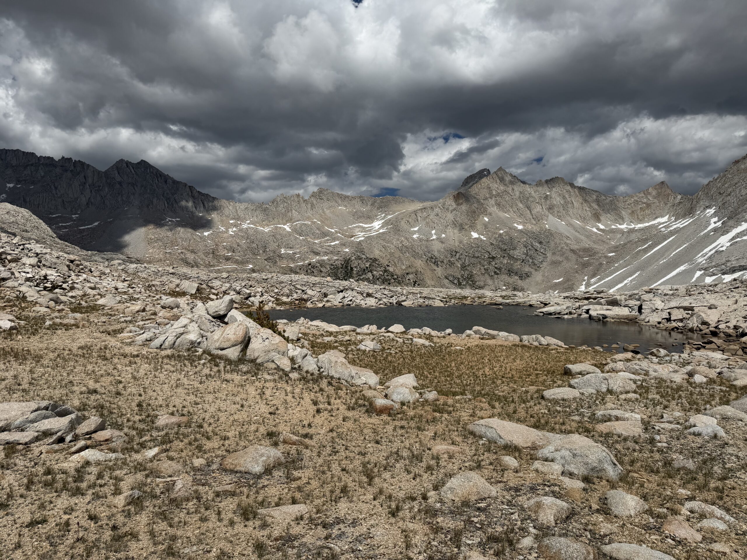
I followed essentially the same traverse beneath the Mono Divide, stopping at last to filter water from a small stream flowing out of an unnamed tarn perched on a granite bench. Dark clouds began building in the distance despite a forecast that called for clear skies, and I worried about getting caught on the wrong side of Cox Col if an afternoon thunderstorm developed. As I approached Gabbot Pass, broad granite boulder fields gradually gave way to easier slabs, where I picked up an intermittent use trail leading toward Cox Col.
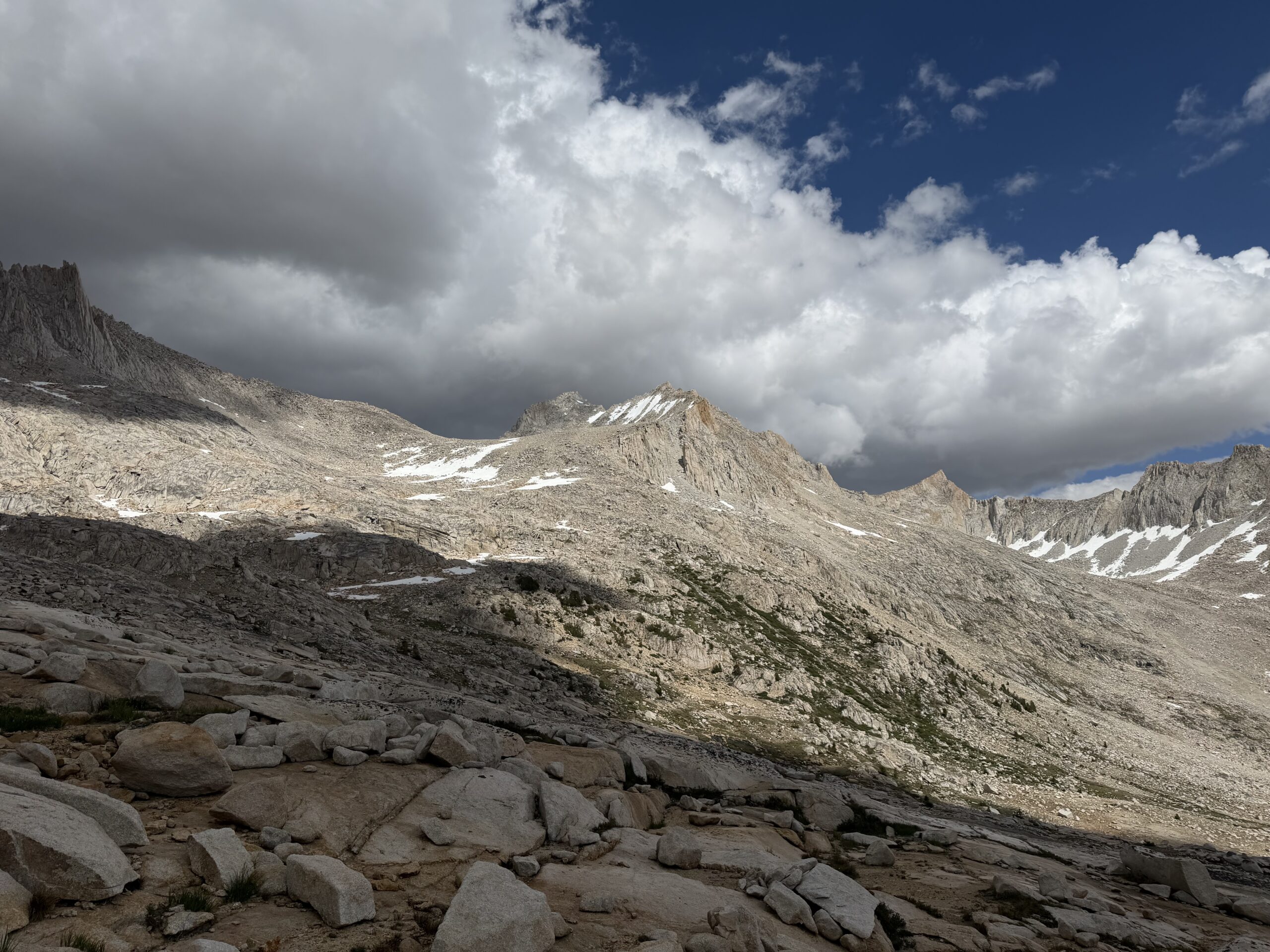
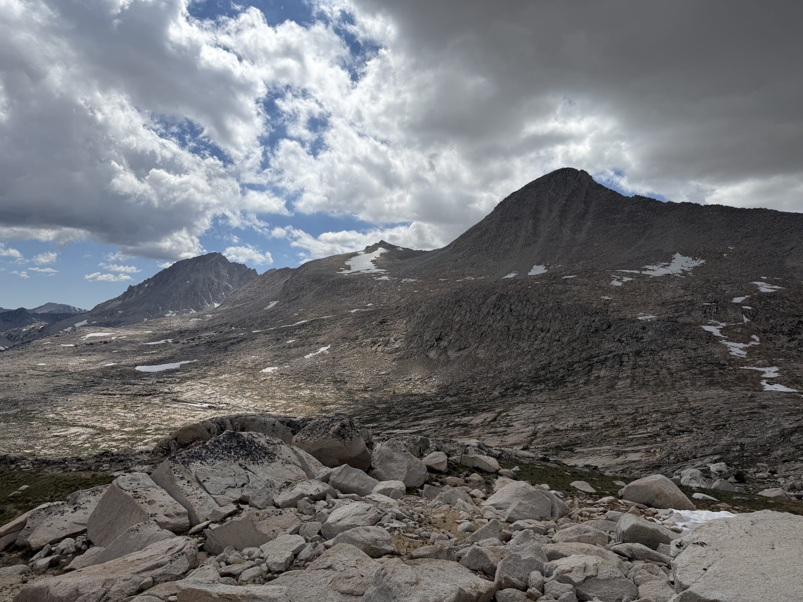
The snowfields I had been watching all day proved easy to bypass, and I soon reached the sandy plateau below the pass. The Class 3 descent route starts just below the high point, marked by a familiar cairn that I remembered from descending Bear Creek Spire the previous summer. The sky was at its darkest as I dropped into the Rock Creek drainage, where considerably more snow remained than during my August visit the year before.
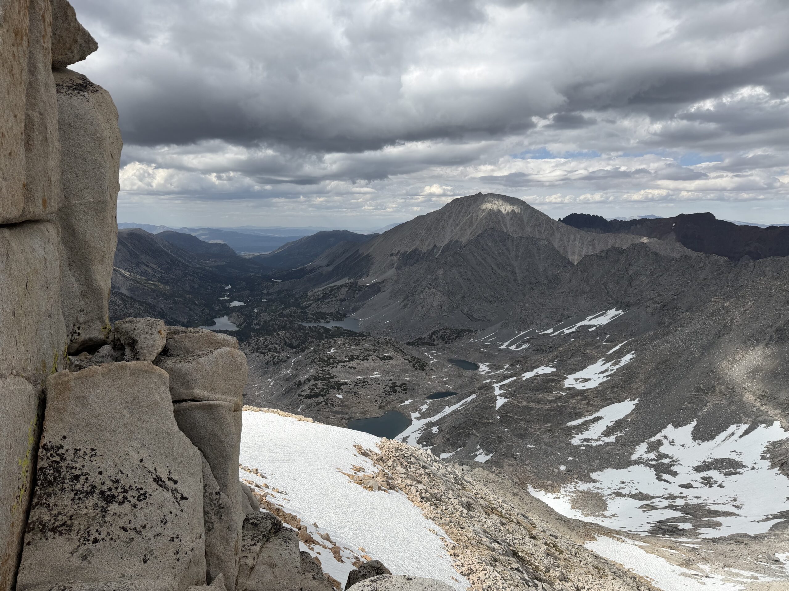
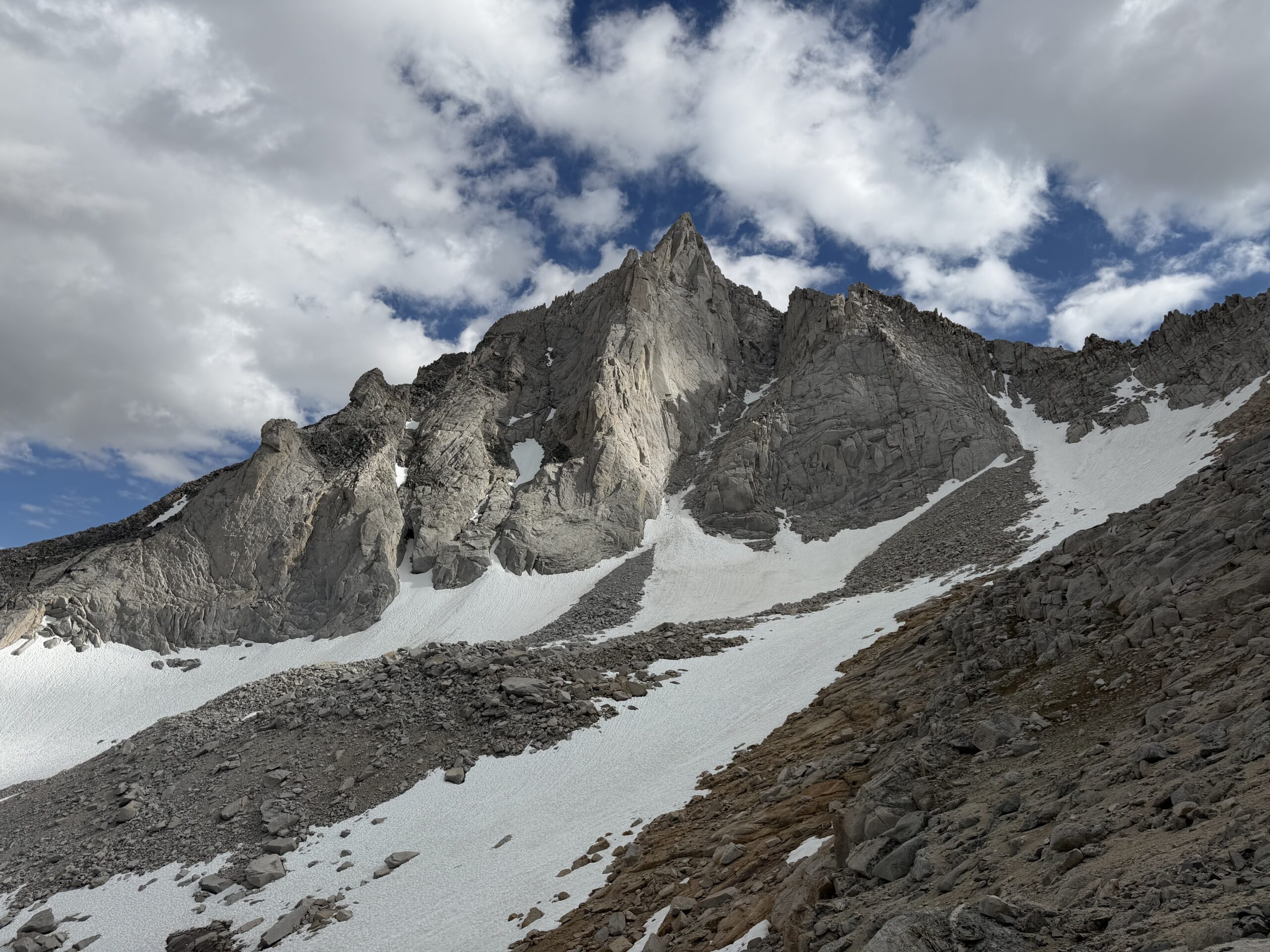
After a full day of sun, the snow was too soft to support my weight, so I scrambled around it whenever possible until the angle eased above Dade Lake. Continuous snow extended all the way to the lake, burying the use trail on the east side and forcing me onto enjoyable Class 2–3 granite just above it. I had expected to reconnect with a use trail near the unnamed lakes below Dade Lake, but lingering snow obscured any obvious path until I was nearly back at Gem Lakes. There I finally stopped for a proper break, stretching out in the grass beside the water after several hours without stopping. I had pushed hard to get over Cox Col before the storm that never materialized.
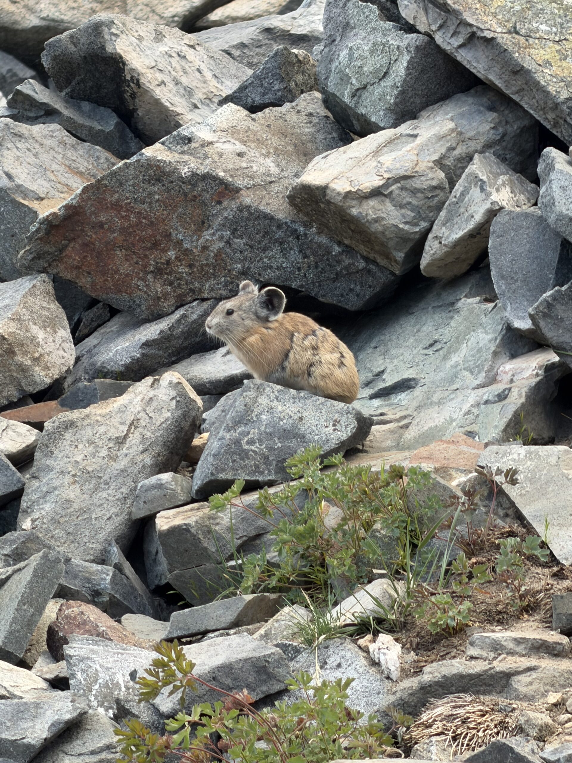
The threatening skies had apparently discouraged everyone else as well. Despite spending the day in one of the Sierra’s busiest trail corridors, I never saw another person from the time I left the trailhead until I returned around 7:30 PM. It felt like a fittingly quiet finish to a long traverse through one of my favorite corners of the range.