
Mount Kinabalu 4095.2 meters/ 13,435′
International– Malaysia
Rountrip Distance: 28km/ 17.4 miles
Elevation Gain: 2229 meters/ 7,313′
Crux: Class 3
Trailhead: Timpohon Gate, full services
Companions: Holly


Mount Kinabalu is a mountain of superlatives. By far the highest mountain on the island of Borneo and country of Malaysia, Mount Kinabalu juts over 4000 meters into the sky from sea level, the 20th most prominent mountain in the world. There are no summits taller to the west until the Himalaya, and none to the east until the high volcanic peaks of Indonesia. Many assume Mount Kinabalu is itself a volcano, but is in fact composed of glacier carved granite, formed from underground molten rock thrust to the earth’s surface. The glaciers, now long gone, carved deep canyons across the rock face and summit spires into the granite slabs. Despite this, the summit is nontechnical, and climbers travel from around the world to climb this magnificent peak. What brought me to the slopes of Kinabalu was actually my long overdue honeymoon, with Borneo providing my wife and I a chance to climb a big international summit and enjoy tropical beaches- the best of both worlds. With the plan to relax on the back end of the trip, we planned to climb Mount Kinabalu early during the trip, and were picked up by our guide in Kota Kinabalu the day after we arrived in Sabah. We, along with a collection of other climbers, were driven 2 hours to the park headquarters where we had our first up close look at the intimidating mountain, still rising nearly 8000′ above. We checked in with the ranger station and left our luggage at baggage check, paying a few dollars for each suitcase. After meeting our guide Byron (through Amazing Borneo), we hopped in a shuttle that took us up another 200 meters to Timpohon Gate at 1866 meters, the start of the ascent and 2,229 meters (7,312′) below the summit. The trail initially descends a long set of stairs before heading straight into the jungle. We were greeting almost immediately by a lush waterfall immediately off the trail- Carson Falls.


Beyond the falls, the trail steadily ascends, but not too steeply, with stretches of steps broken up by uphill but comparatively tame trail. But the goal of the first day is to ascend to Laban Rata Resthouse at 3272 meters, an ascent of over 1400 meters (over 4,500′) in only 6 km! Needless to say, it wasn’t long before the trail switched to sustained and steep stairs with almost no flat or even moderate grade trail to break up the grueling ascent. Between the trailhead and the resthouse were 7 rest shelters, spaced out about every half kilometer of trail and 200 meters of ascent, allowing the dozens of weary hikers places to take a break.


Despite the grade, we were making pretty decent time, and skipped a number of rest stops en route. By about 11:30 AM we had ascended to over 2700 meters in just a few hours, the weather surprisingly cool for the tropical climate. But at our brief stop at Layang Layang Shelter at 2702 meters, the skies opened up and Borneo showed us exactly what rainforest meant.

We put on rain gear and pack covers but they were little match for the torrential rain; we were soon soaked to the bone. With the prospect of changing into dry clothes at Laban Rata Resthouse just another 2 km and 570 meters of ascent away, we charged up the slippery and muddy steps through the pouring rain. It almost felt like hiking in a stream at times, the cold water preferentially running down the trail causing small waterfalls down each step. We gave ourselves a short break at the Villosa Resthouse at 2961 meters, but we were growing cold from the rain and pressed on, reaching the Laban Rata Resthouse around 1PM. Our fast pace in spite of the rain meant we were one of the first groups to reach the resthouse for the day, and we quickly changed into dry clothes and ordered some hot drinks to warm up. The resthouse was very impressive, particularly given its location. It stood at 2 stories with over 100 beds in co-ed dorms, with heat, flush toilets and running water. A canteen had a large selection of snacks and drinks hauled up by porters daily, and a full kitchen provided buffet meals for all hikers staying at the hut.


We settled into the common area and watched the various hikers arriving, hailing from all across the world. The common area was full by nearly by 4PM, and dinner was served to the mass of hungry climbers promptly at 4:30. The food were heavy on carbs (rices and noodles) and while certainly not the most inspiring meals I had during my stay in Borneo, given the location and the fact that all ingredients were hauled up daily by porters, I’ll absolutely give credit where credit is due. After dinner, nearly everyone got ready for bed with a 2AM wake up the next morning, and we were in our bunk beds with the lights out by 6PM.
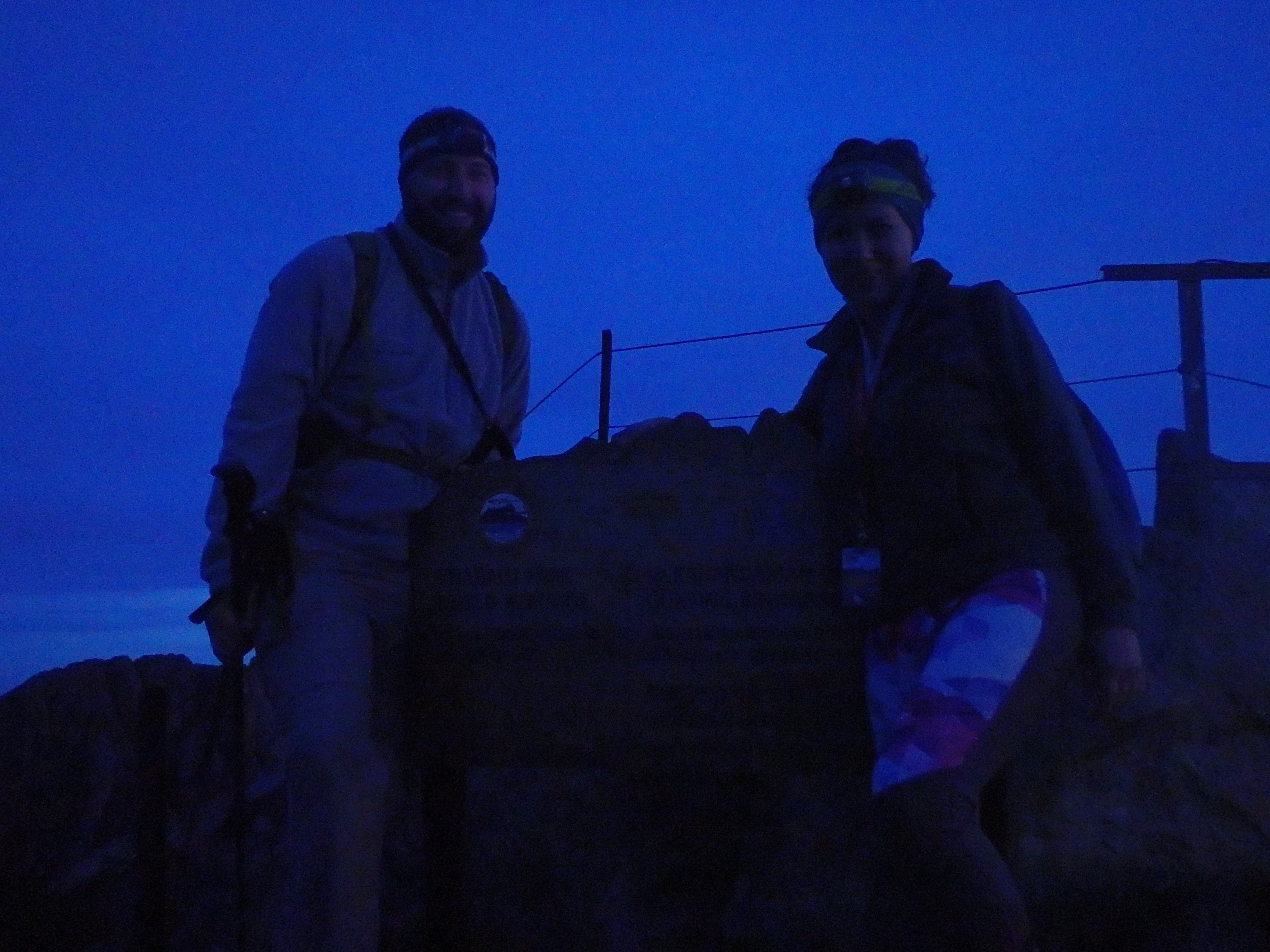
I had been fighting a mild sore throat for a few days and got at most a few hours of sleep when our alarm went off at 2AM. Thankfully, Holly got about 6 hours and was compartively well rested as we headed down for breakfast at 2:15AM. The cooks at the resthouse again provided a buffet breakfast, similarly carb-heavy, and I loaded up on coffee and french toast before our guide met us shortly after 2:30AM. The rain had cleared overnight, and we stepped into the cold and started up what could be called a conga line of headlamps heading towards the summit. The steps were muddy from the rain that had stopped a few hours prior, but Holly rather aggressively passed the slower groups, working our way towards the front of the pack, with the goal to reach the summit by sunrise. We hiked up the steep steps in the dark, and reached the Sayat-Sayat Hut at 3668 meters at around 4AM. Here was another check point, and a park ranger who had the unfortunate job of getting up early every morning to check 100+ climbers permits for a summit bid. We showed our passes and took one final bathroom break before continuing onward towards the summit. Up until this final hut, the trail had remained below treeline or among subalpine scrub, with muddy sedimentary rock studded with igneous rock. This changed dramatically just past the hut, the muddy sandstone switching to smooth granite slabs, quite steep in places and at times requiring a fixed hand line to safely ascend. High above, you could faintly make out the outline of the various summit spires and pinnacles, dimly backlit by a moon tucked behind thin clouds. After an initial steep pitch, the grade began to ease as we reached a broad saddle between the spire of the Southern Peak of 3922 meters, and the summit at 4095 meters. We continued to pass groups in this more gentle section, although we could see headlamps of other groups up ahead reaching the final pitch of rock below the summit. The final 30ish meters was a fun bit of scrambling, and we reached the summit shortly after 5 AM, about 10 other groups beating us to the top. After standing in line for a grainy picture at the summit sign (not sure why the flash didn’t really work), we found a spot to enjoy the sunrise over Borneo, watching the conga line of headlamps continue up from below.


We stayed on the summit for nearly an hour, watching the changing light across the dramatic granite spires and green valleys far below. As much as we would have liked to have lingered longer, with over 2000 meters (~7,300′) descent ahead of us, there wasn’t much time to waste. As we descended the summit pinnacle, we passed a number of groups still working their way to the top. We had a chance to enjoy the upper granite trail in the morning light, lost in darkness during the ascent.


By 8AM we had made it back to Laban Rata Hut, and yet another buffet meal was waiting for us- a second breakfast. We loaded back up on coffee and food and packed up our things, heading out by 9AM, still with about 2/3 of the descent to go. Luckily, the weather was holding this early, and we kept a steady pace down the mountain, taking short breaks at each hut on the descent.

We were about halfway down from Laban Rata by 11AM when the sky started to turn, a similar time to the day prior. Luckily, we seemed to just outpace the rain, which hung near the higher elevations of the mountain. The rain continued to threaten the remainder of the hike, but we reached the trailhead without needing our rain gear at about 1PM. The rain hit the park headquarters just as we arrived, and we collected our bags before a van took us two hours back to Kota Kinabalu, where we had fresh seafood from the nightly market and foot massages by the ocean to reward ourselves for an excellent an successful summit of Malaysia’s highest mountain.
That view of Donkey Ears Peak or South Peak in the background is so distinct. You can immediately tell it’s Kinabalu from miles away just by those sharp silhouettes. Epic framing on this shot.