Muddy Peak 5376′, Muddy Range HP 5434′ and Muddy Peak Benchmark 5347′
Desert Peak Section
Total Time: 7:30
Distance: 12.0 miles
Elevation Gain: 4450′
Crux: Class 3
Trailhead: West End Wash, no services


I had a long weekend with Holly and Avery back home in NY and decided to spend a few days chipping away at some more Sierra Club Desert Peak Section summits around Las Vegas. Although it felt a little strange heading to Vegas solo, I knew that if I ever made it to the area with a partner, I’d much rather spend my time climbing in Red Rocks. A solo trip seemed like the most practical way to get these peaks done anytime soon. I caught the 5:30 AM flight out of Fresno on Friday morning, with Holly and Avery having landed in Buffalo the night before. As I was picking up my rental car, I checked my phone and saw a text from Holly: “My dad is in an ambulance.” It looked like my trip might be over before it even started. The direct flight from Las Vegas to Buffalo that day was already full, although there was a red-eye that evening. With no way to get back to New York that morning, and little I could do from the other side of the country, I decided to at least salvage the day I’d already planned. As Holly headed to the hospital in Buffalo, I headed east from Las Vegas toward the Muddy Mountains.
Located in the Lake Mead National Recreation Area, the Muddy Mountains are a remote desert range characterized by limestone cliff bands, with pockets of sandstone in the surrounding valleys. A popular peakbagging outing is the Muddy Mountain Traverse, tagging Muddy Peak, the DPS summit, along with the range highpoint and several other subpeaks. With the possibility of catching a red-eye that evening, I wasn’t sure I’d have time for the full traverse, so I decided to head straight for Muddy Peak, skipping Luxor Peak, the first subpeak along the route. I had intended to start from Callville Wash Road, which would allow me to visit Anniversary Narrows on the hike in. However, the dirt road enters a wash, and I found that recent historic rains had carved a four-foot cliff into the road where it dropped into the wash, making it impassable to cars. Pivoting to Plan B, I drove back west and took West End Wash Road instead, which remained intact despite the recent storms. For a road running directly through a desert wash, I found it in surprisingly good shape, consisting mostly of packed sand. The biggest challenge was avoiding the overgrown catclaw and trying not to accumulate too many scratches on the rental car.
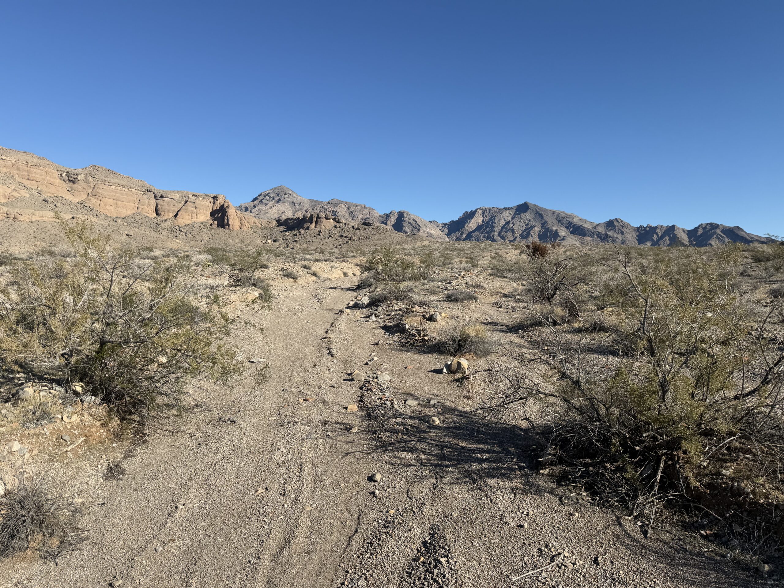
I parked where the road started to get a bit rougher, although I probably could have pushed it farther, and set out on foot across the desert, aiming for the mouth of the wash that splits the Muddy Mountains in half. I had been texting Holly for updates but hadn’t received a response, making it difficult to enjoy my surroundings or concentrate much on the hike. Entering the wash, the terrain became reminiscent of Avawatz Peak from the spring, with a deep, rugged canyon and 5,000-foot peaks rising on either side.
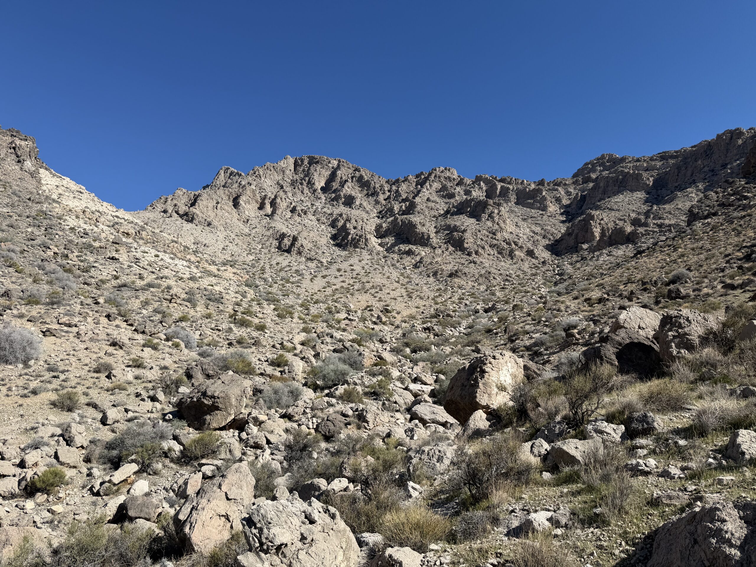
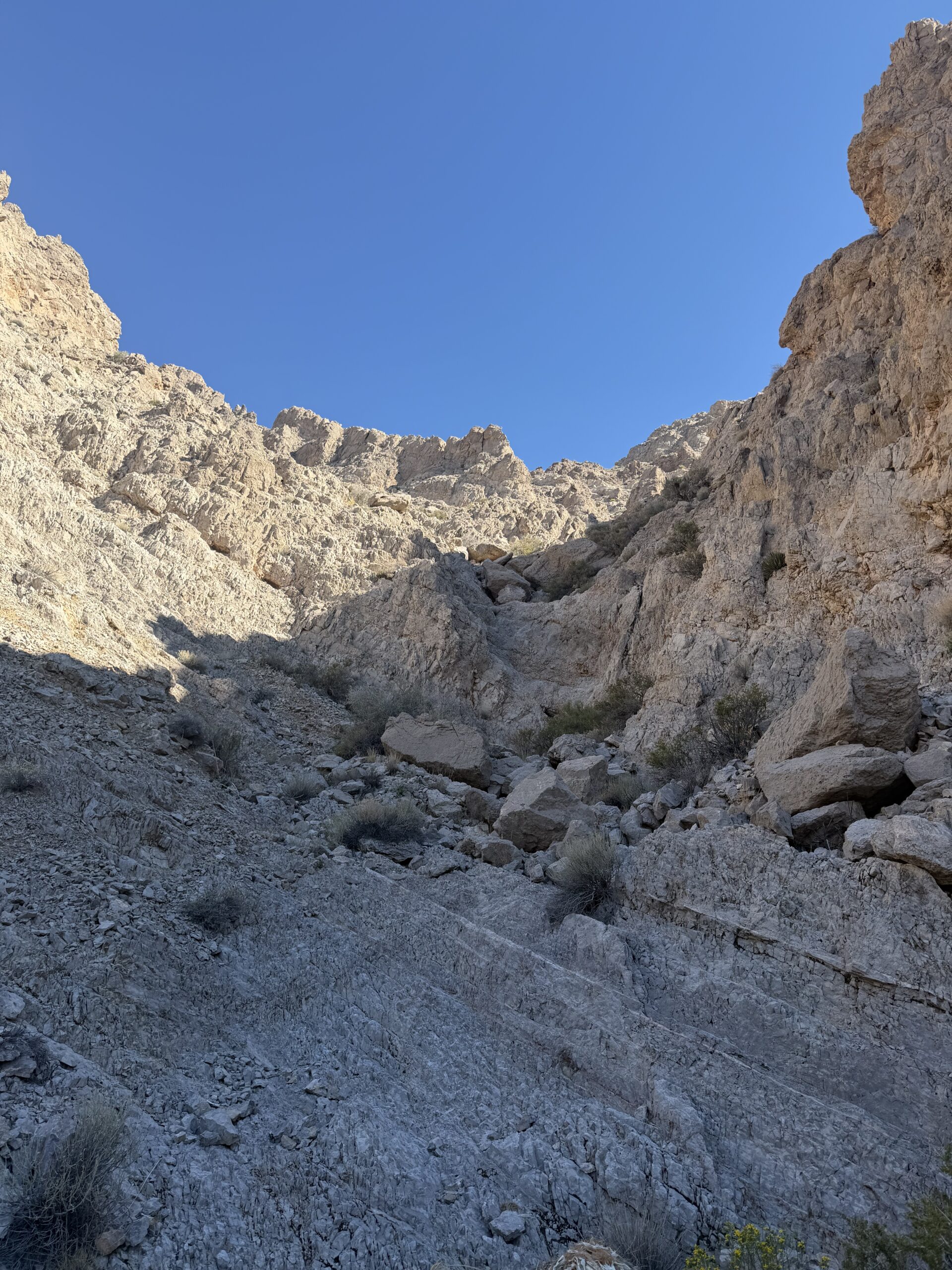
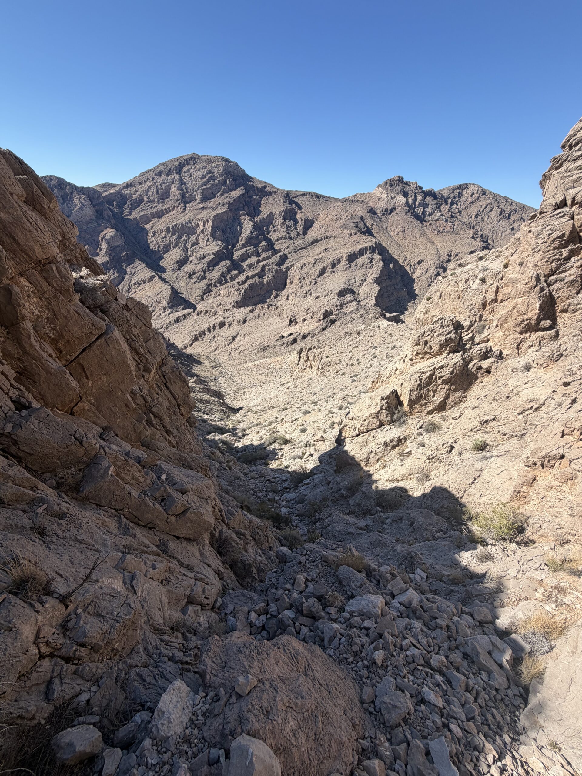
As the wash began to steepen toward a headwall, I took a side canyon to the east that led up to the ridgeline south of Muddy Peak. Reaching the ridge, I finally had enough cell service to get an update from Holly. Her dad had apparently been given the wrong medication and had been heavily sedated by someone else’s psychiatric meds, but was expected to recover with time. I hung up, finally able to mentally enjoy the outing just in time for the route to get good.
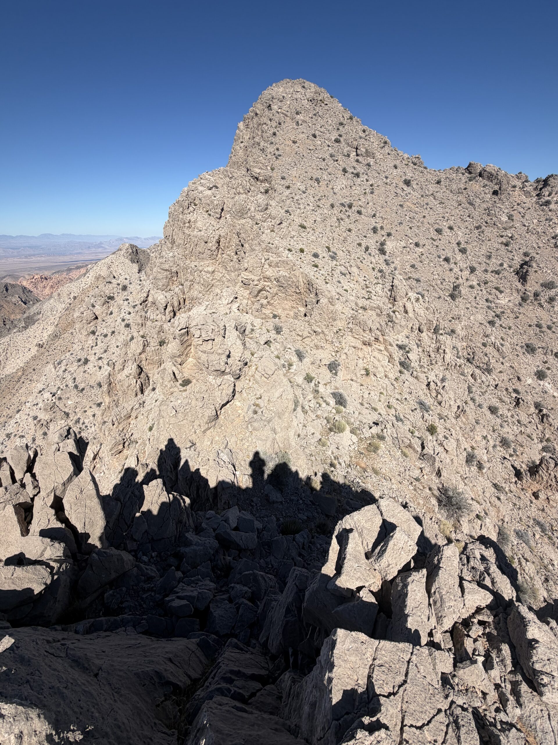
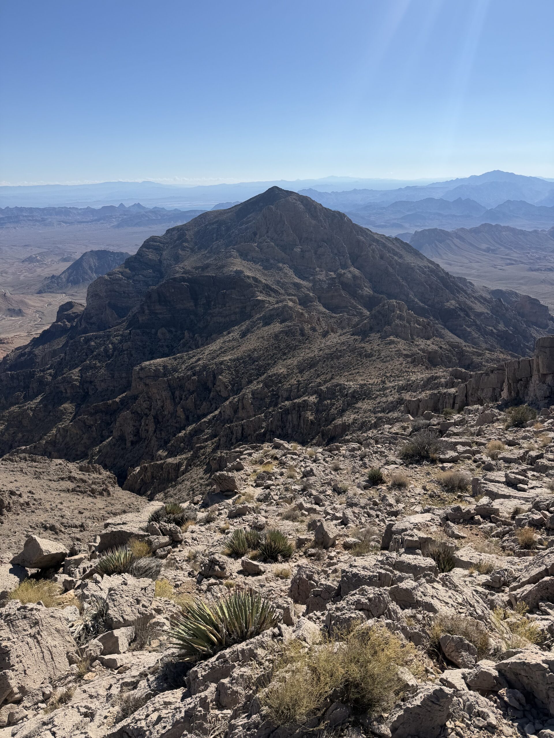
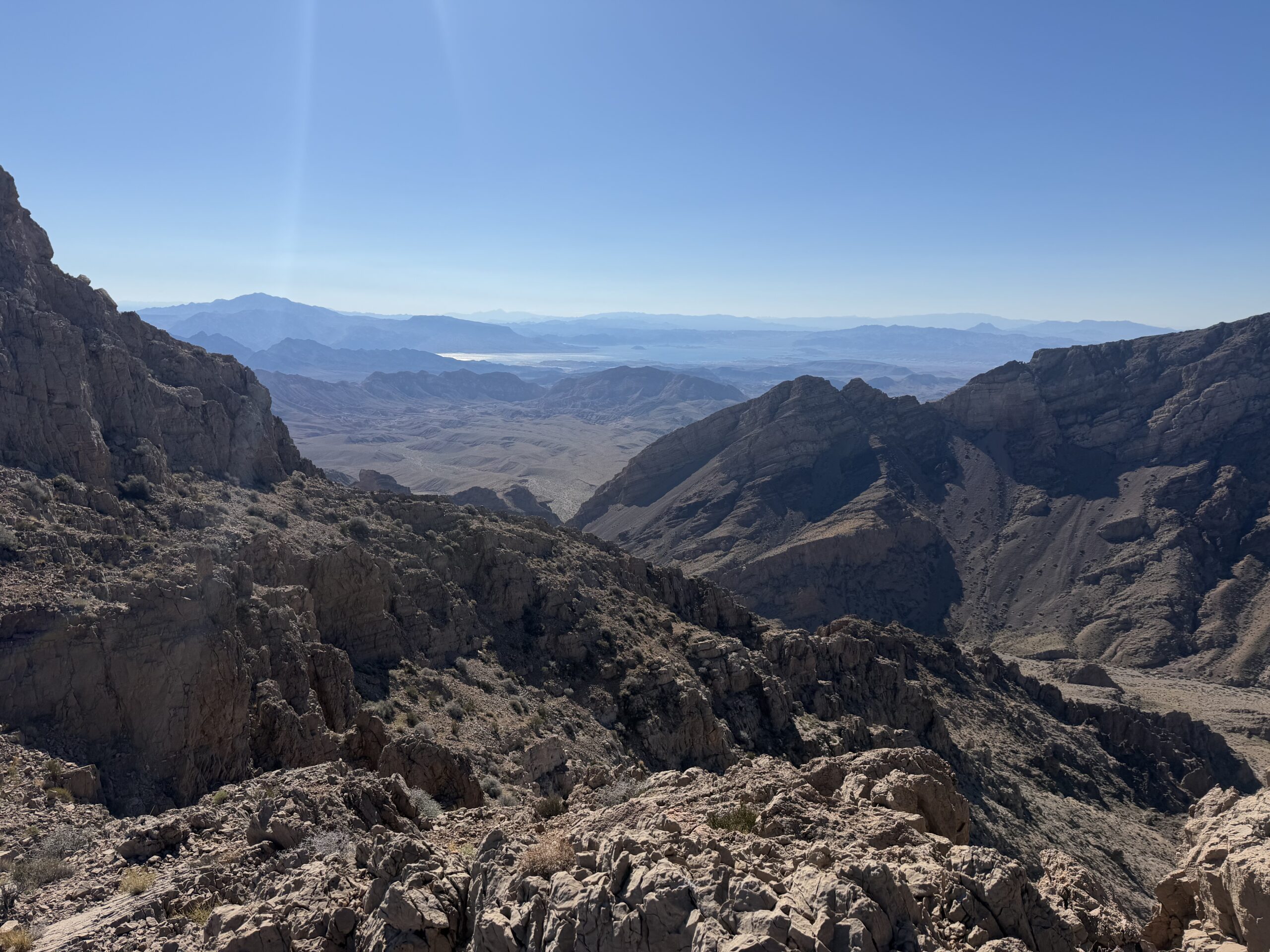
The summit was only a quarter mile farther along the ridgeline, but the terrain narrowed considerably, offering excellent Class 3 limestone scrambling. I reached the summit shortly after 11 AM, taking my first real break of the day several hours into the hike. For the first time that morning, I could slow down and enjoy my surroundings while eating the sandwich I’d grabbed at the airport. To the south was Lake Mead, with other DPS peaks, Virgin Peak and Moapa Peak, rising to the east. Adventures for another trip.
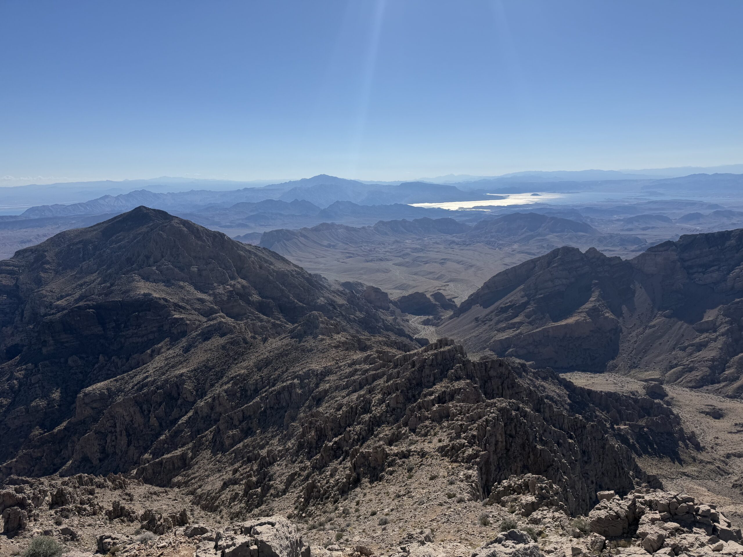
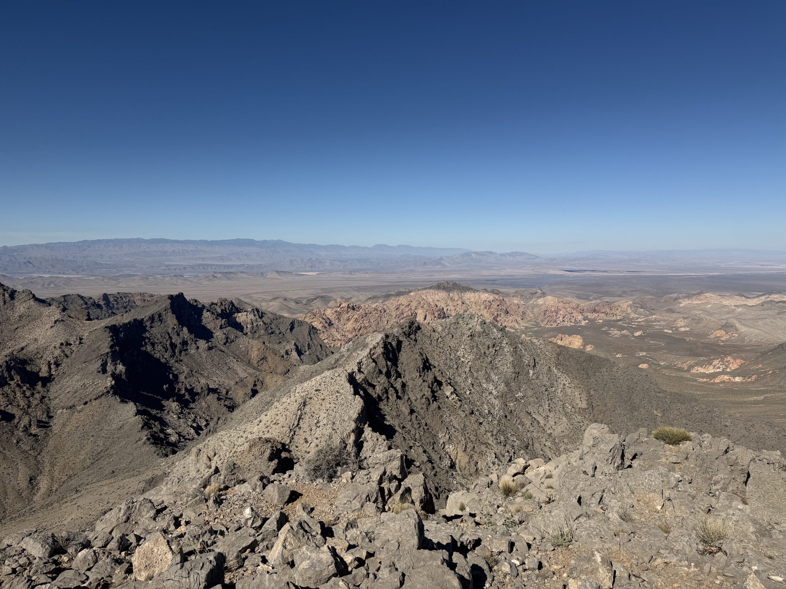
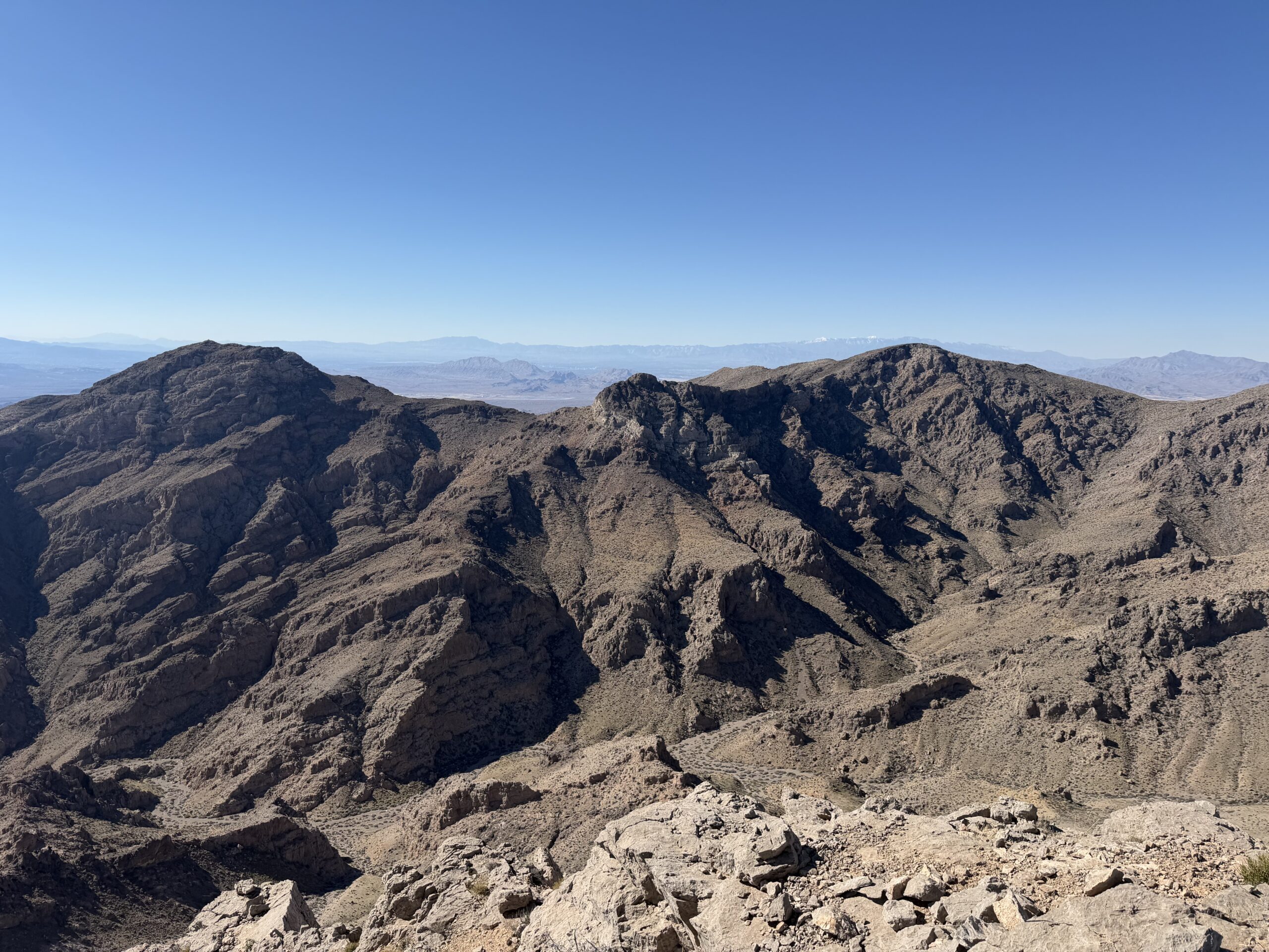
To the west, however, was the objective for the second half of the day: the traverse over to the range highpoint. The connecting ridge was about a half mile to the north, and I made the short walk north to the start of Muddy Peak’s north ridge. I hadn’t read much on the route before hand so it was a bit startling peering down the improbable looking steep ridge from above, with limestone cliff bands seemingly blocking the way on either side.
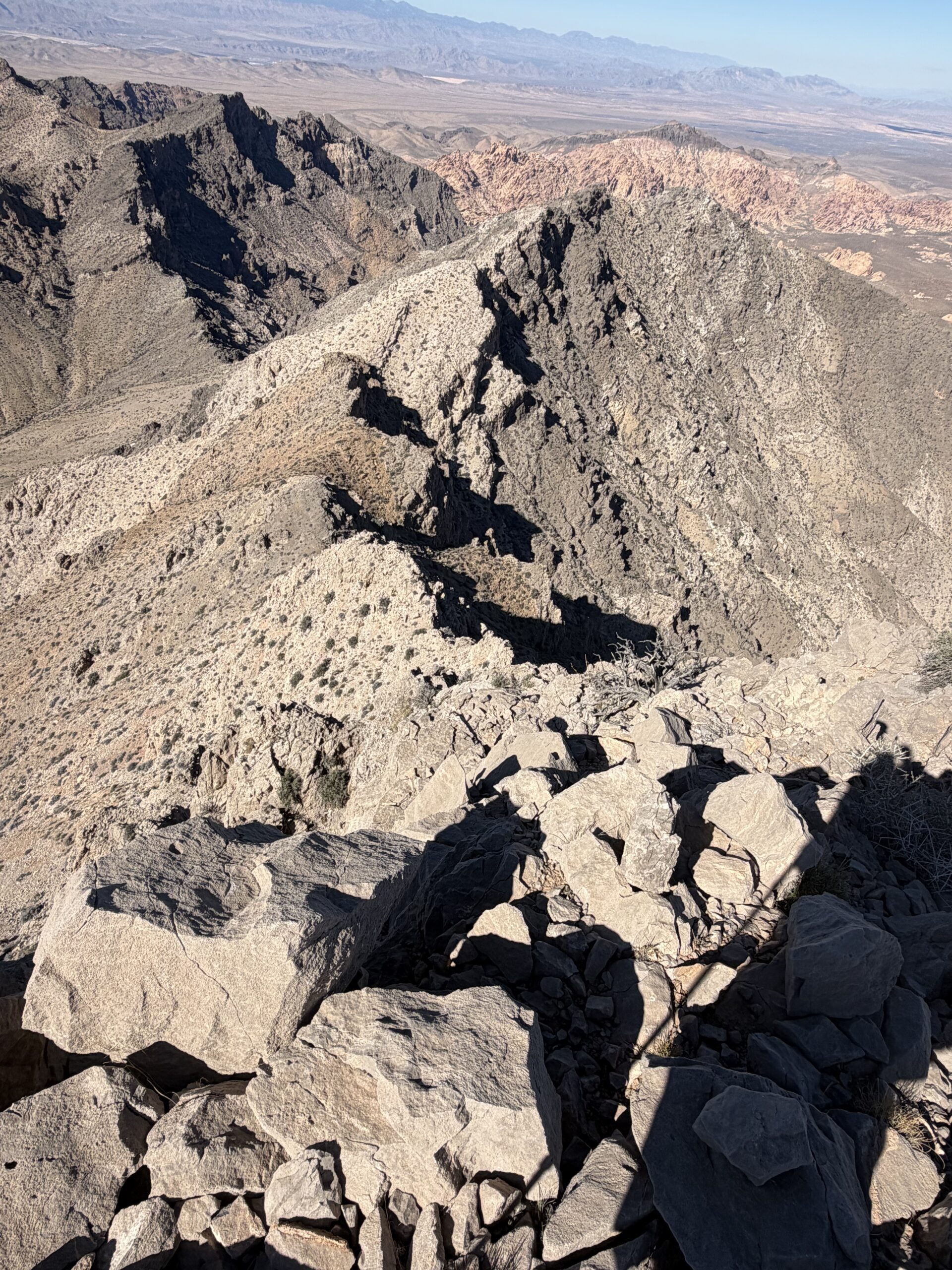
But as I started down, I was pleasantly surprised to find a perfect Class 3 limestone staircase. Each time I expected to dead end, there would be a perfect ramp or dihedral to bypass any fifth class or serious exposure. I scrambled down several hundred feet, ultimately leading to the talus and scree slopes below. It was easily the highlight of the day, and over far too soon. The slopes beneath were incredibly loose, with sharp limestone fragments, and I did my best to avoid slipping on the rock or skewering my patella on the cacti hidden between the stones.
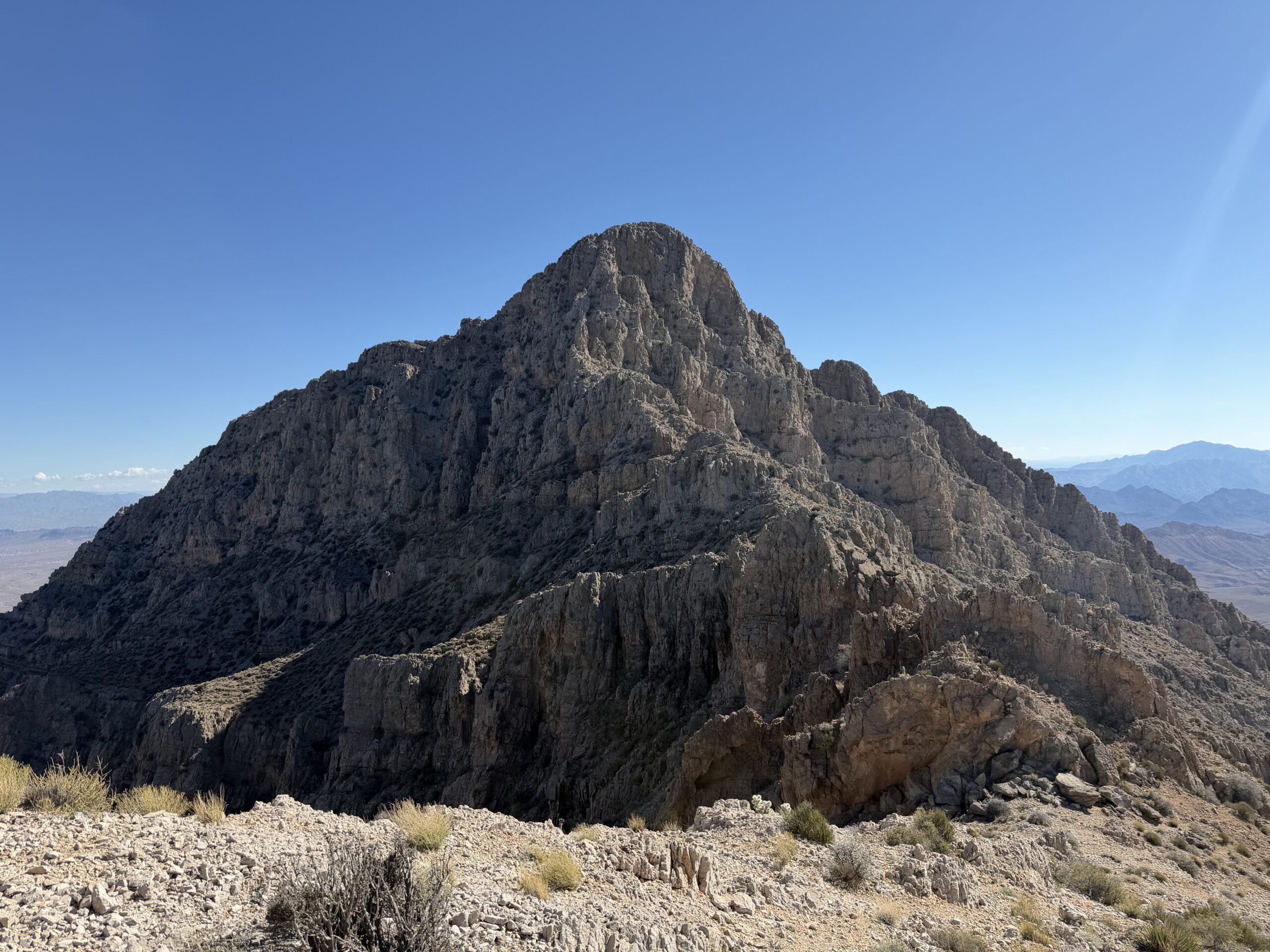
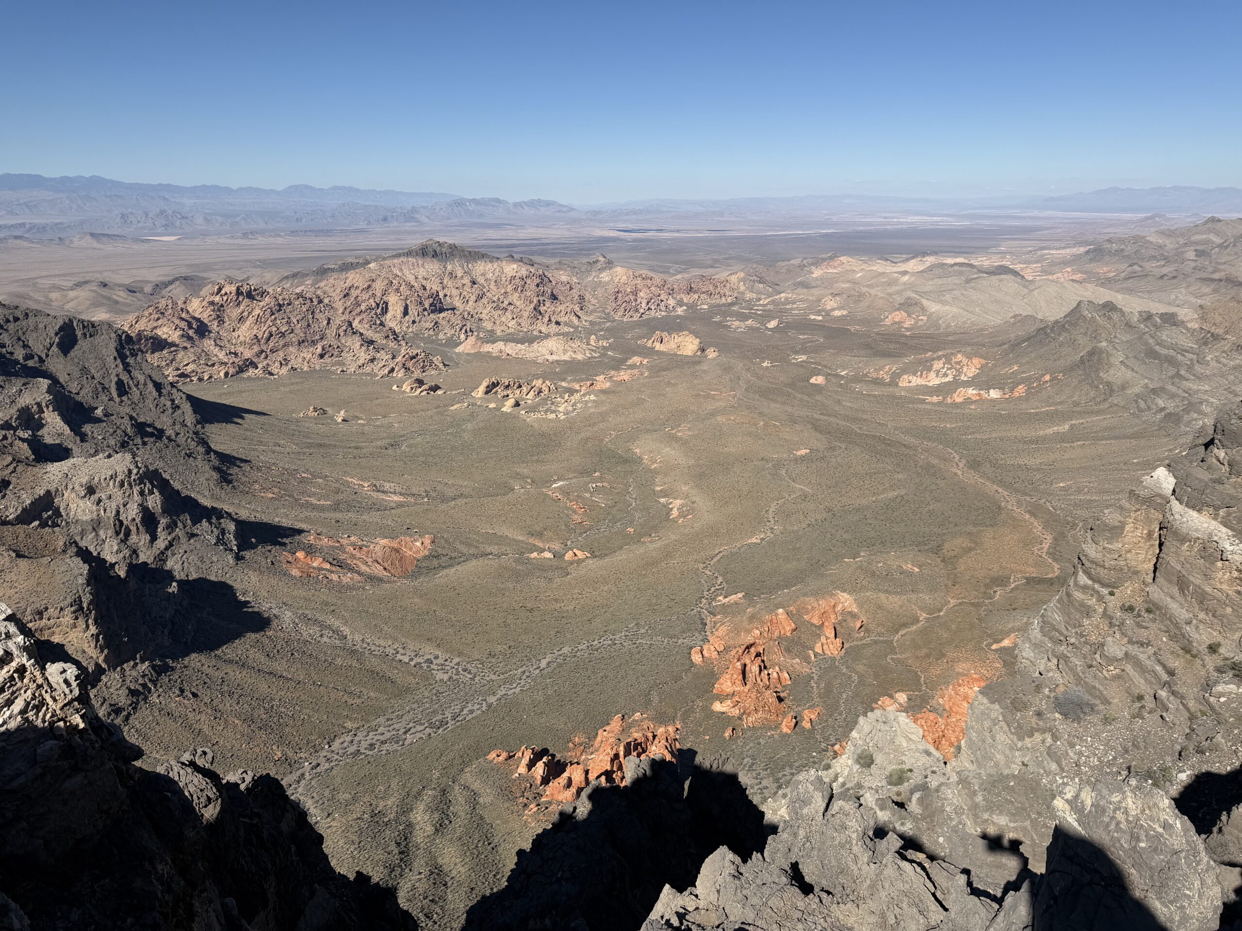
Reaching the connecting ridgeline, I had a good look into the basin to the north, which had once been the preferred approach route. It was dotted with sandstone towers reminiscent of features in nearby Red Rocks. From there, I started up the north ridge of the range highpoint, and it quickly became apparent why the lower summit was the one included on the DPS list. While Muddy Peak offered excellent limestone scrambling, the ridge to the highpoint was little more than a talus slog up a wide-open desert ridgeline.
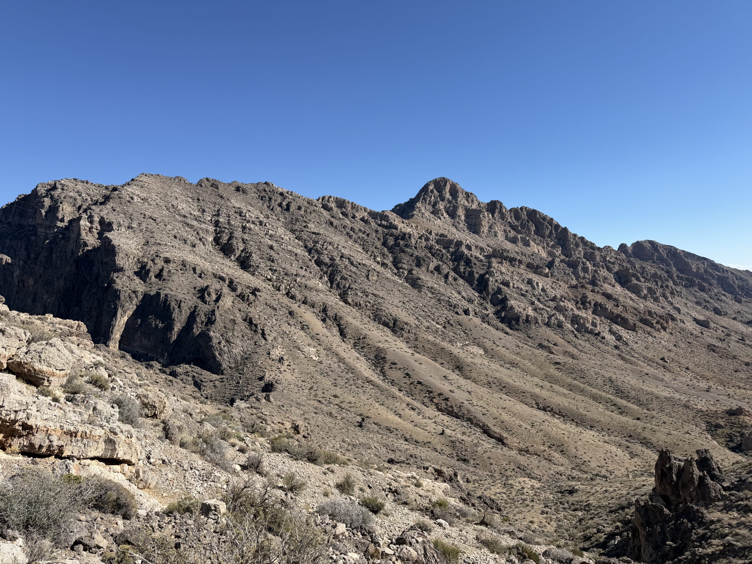
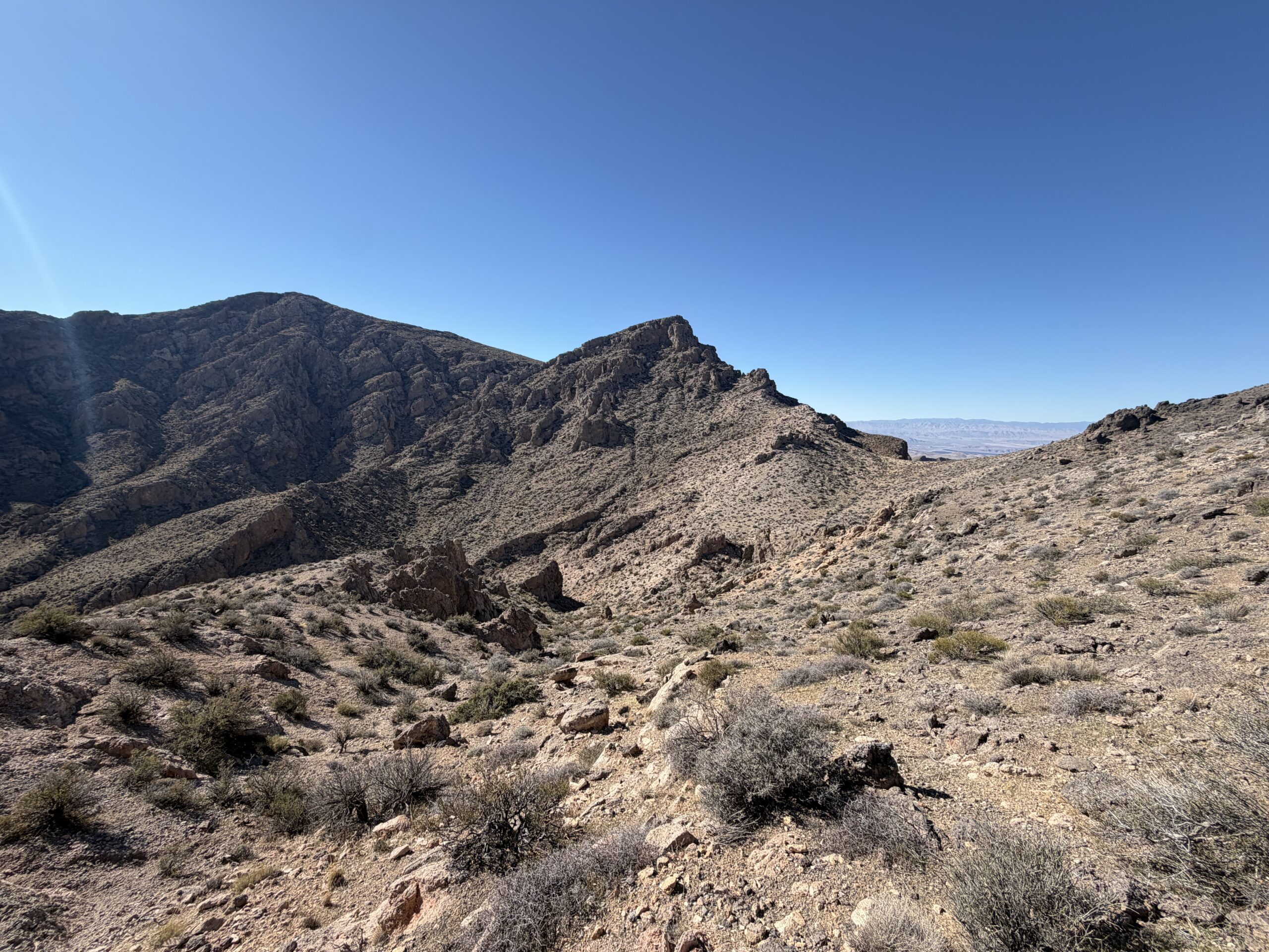
It took me about two hours to traverse between the summits, and although the scrambling wasn’t nearly as interesting, the views from the highpoint were considerably better. I now had an unobstructed line of sight to the Las Vegas Strip and the Spring Mountains, with Potosi Mountain, Mummy Mountain, and snowy Mount Charleston all on the itinerary for the rest of the weekend. To the south, I could make out several P2K peaks in northern Arizona that I’d climbed during a long weekend before leaving the state, including Mount Wilson, Mount Tipton, Peacock Peak, and Grandwash Cliffs. Muddy Peak dominated the view to the east, looking particularly impressive from this angle. Signing into the register, I found that I was the first person to sign since the previous spring. The last signature was ironically from Doug Mantle, a prolific Sierra peakbagger based out of Lake Crowley.
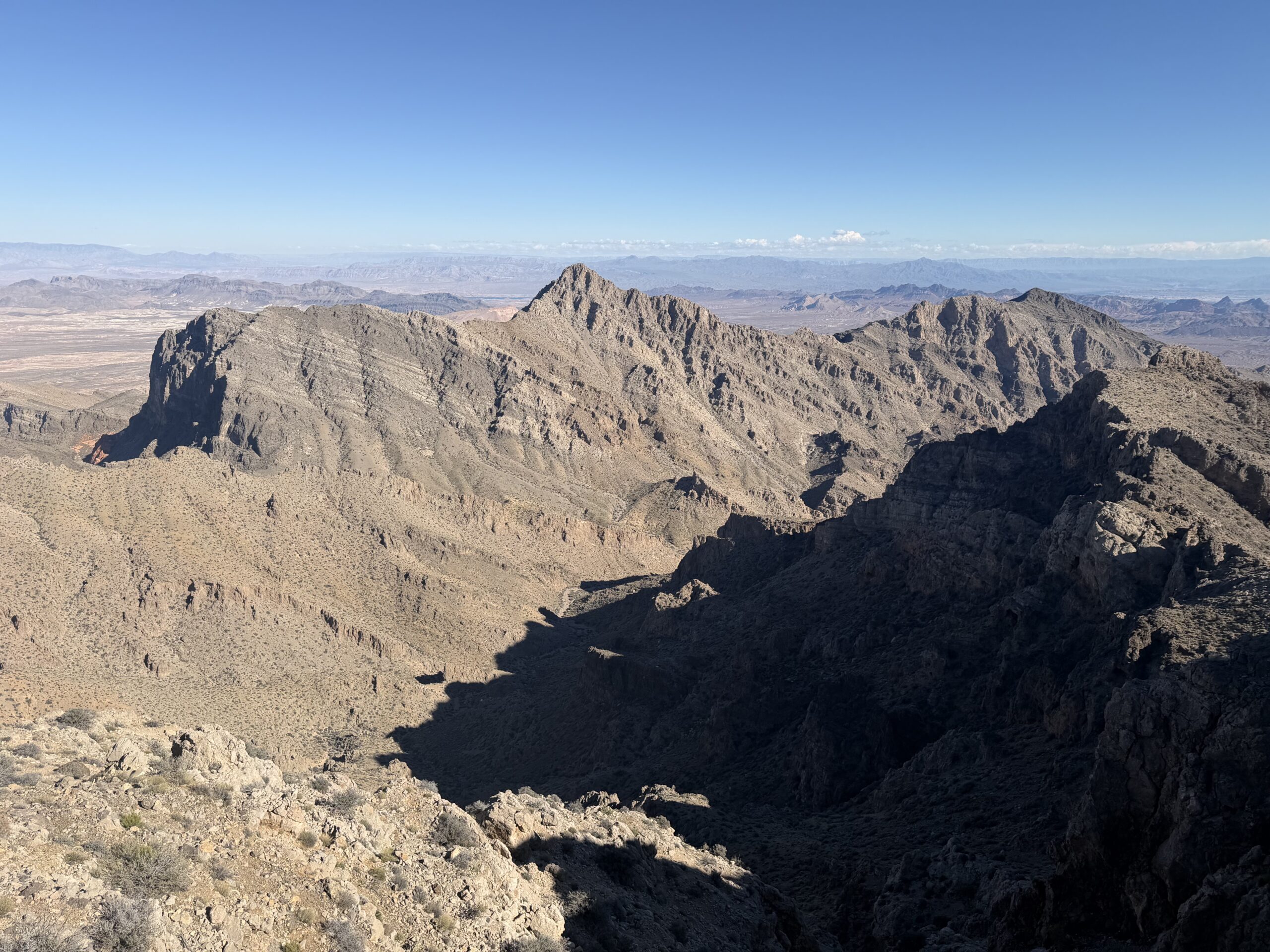
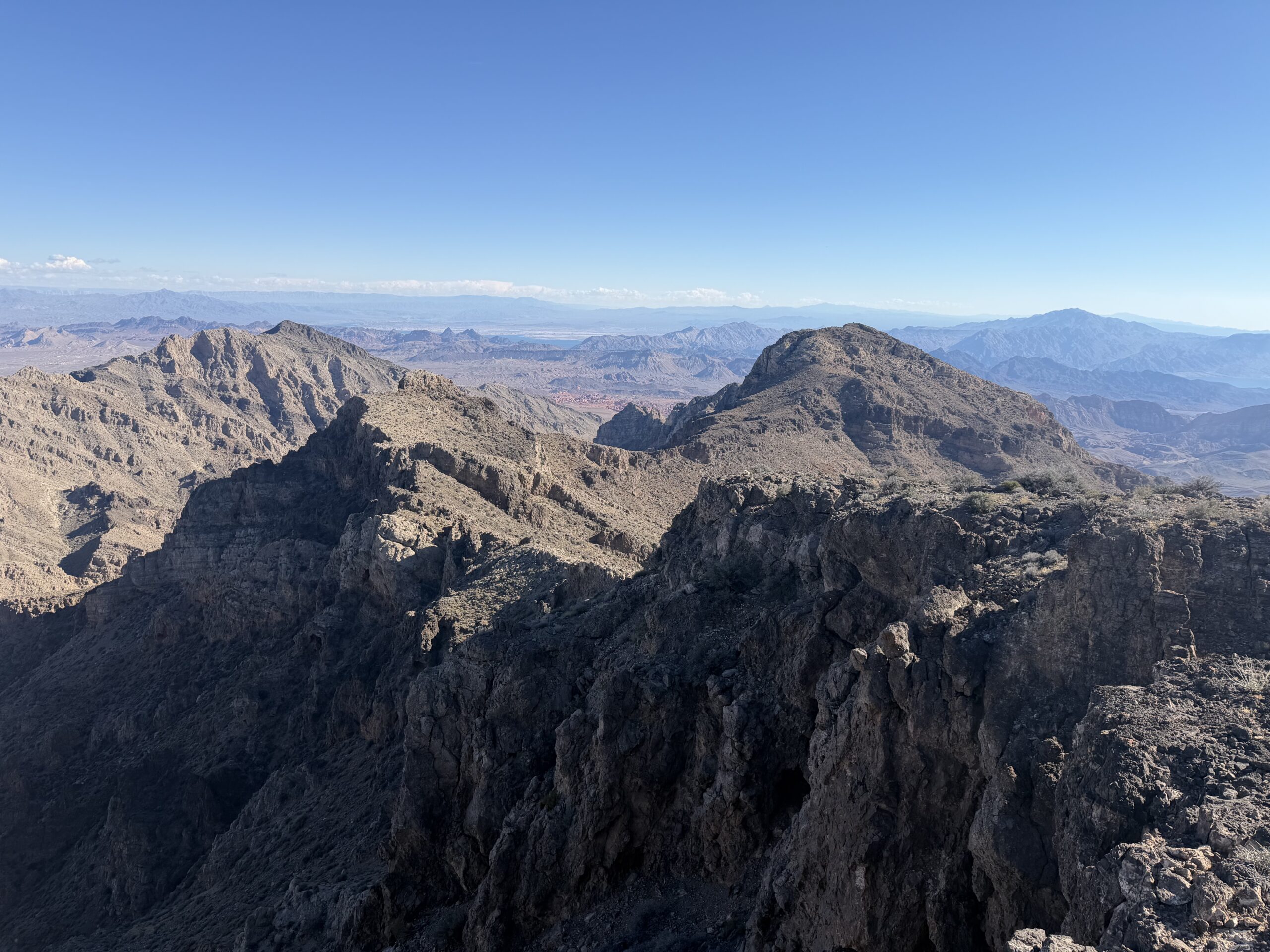
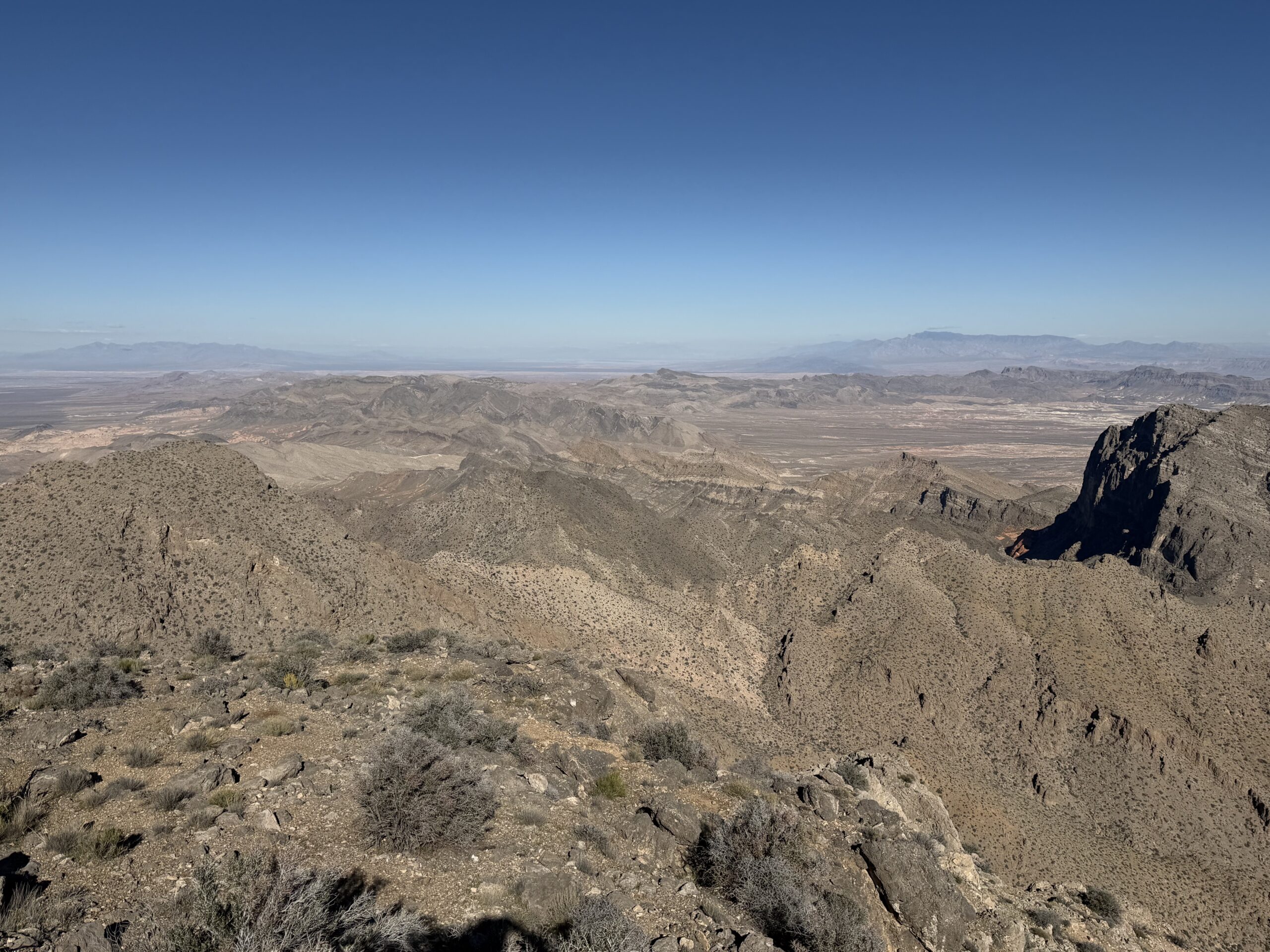
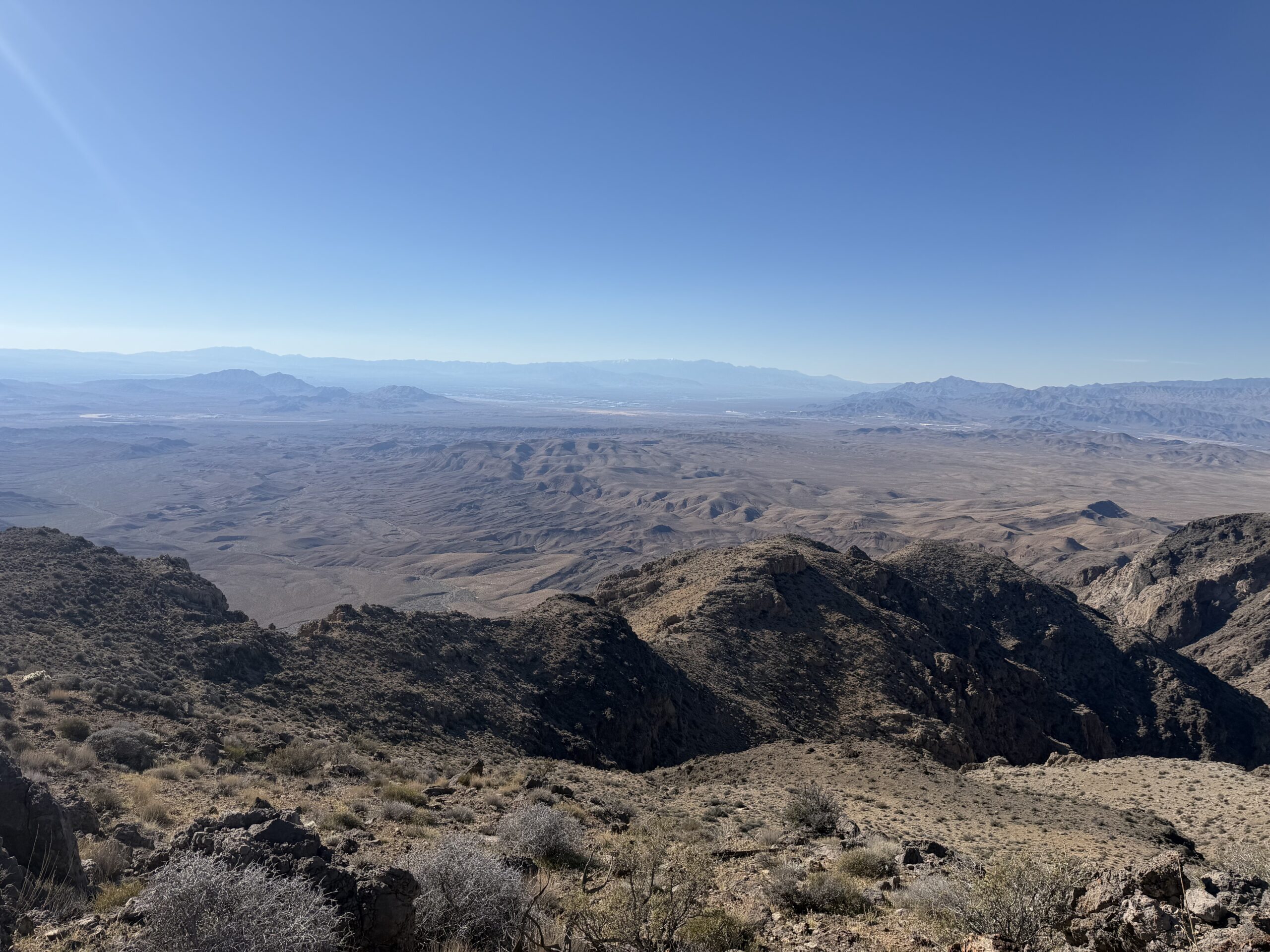
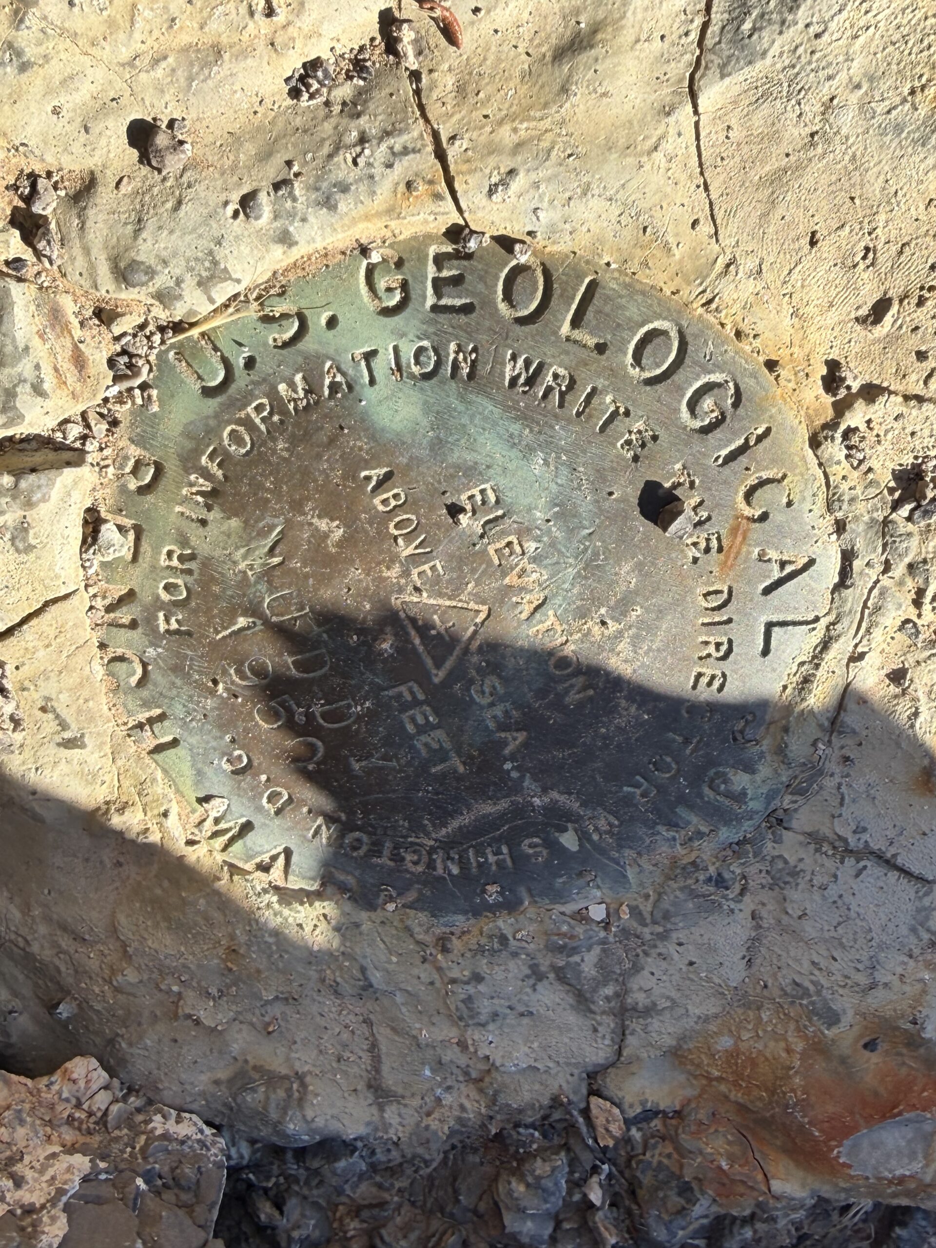
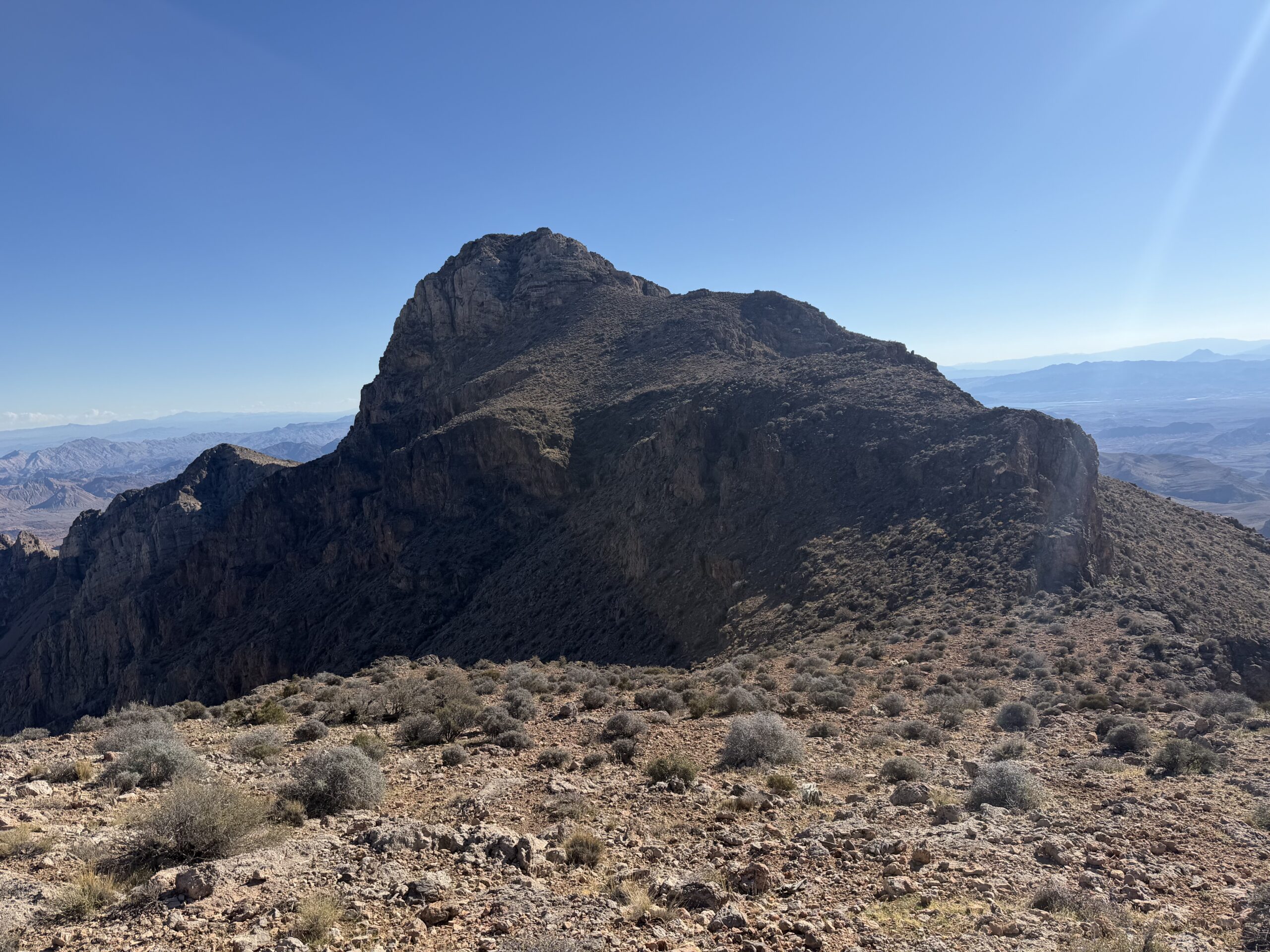
After a short break, I continued south toward Muddy Peak Benchmark, an officially named subpeak that would get me three-quarters of the Muddy Mountain Traverse, having skipped Luxor that morning. There was a bit of limestone scrambling between the two summits, although nothing compared to Muddy Peak itself, and it took about 45 minutes to make the connection.
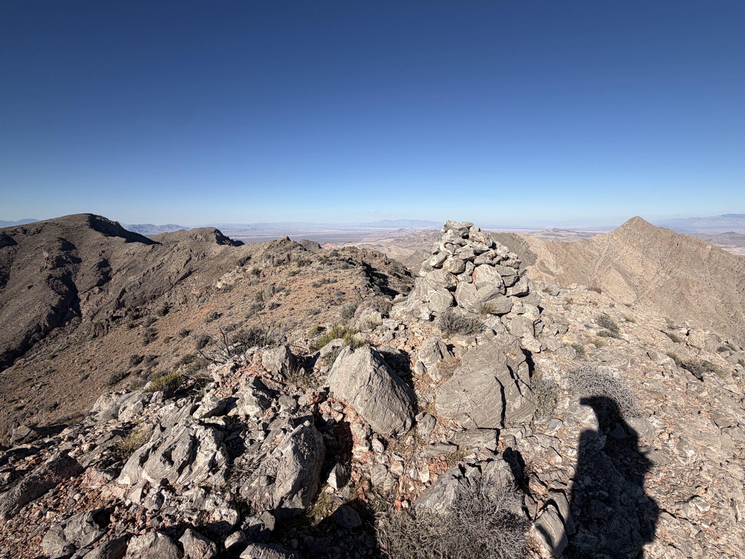
At the summit was a massive cairn, taller than me, which seemed like an extraordinary amount of effort to put into an otherwise unremarkable subpeak. From there, I glanced at my GPS and figured it would be a straightforward descent back to the wash below. I started down the ridgeline easily enough, but about 1,000 feet below the summit, I ran into some substantial limestone cliff bands that I hadn’t been able to see from above. Rechecking my GPS, I realized I’d missed a subridgeline that I should have dropped off much farther up the slope. I was now committed to a different descent.
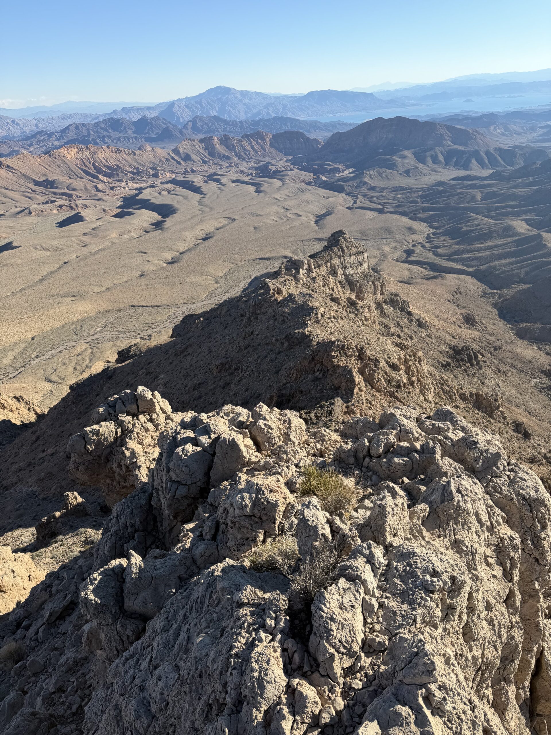
To my left was a Class 2 limestone gully that looked like it continued all the way to the main wash below, although I couldn’t see the very end. Taking my chances, I started down, with steep, loose rock near the top gradually transitioning into limestone slabs. The gully narrowed as I descended, and I encountered several short dry falls, each about five feet tall and easily scrambled or bypassed using ramps to the left.
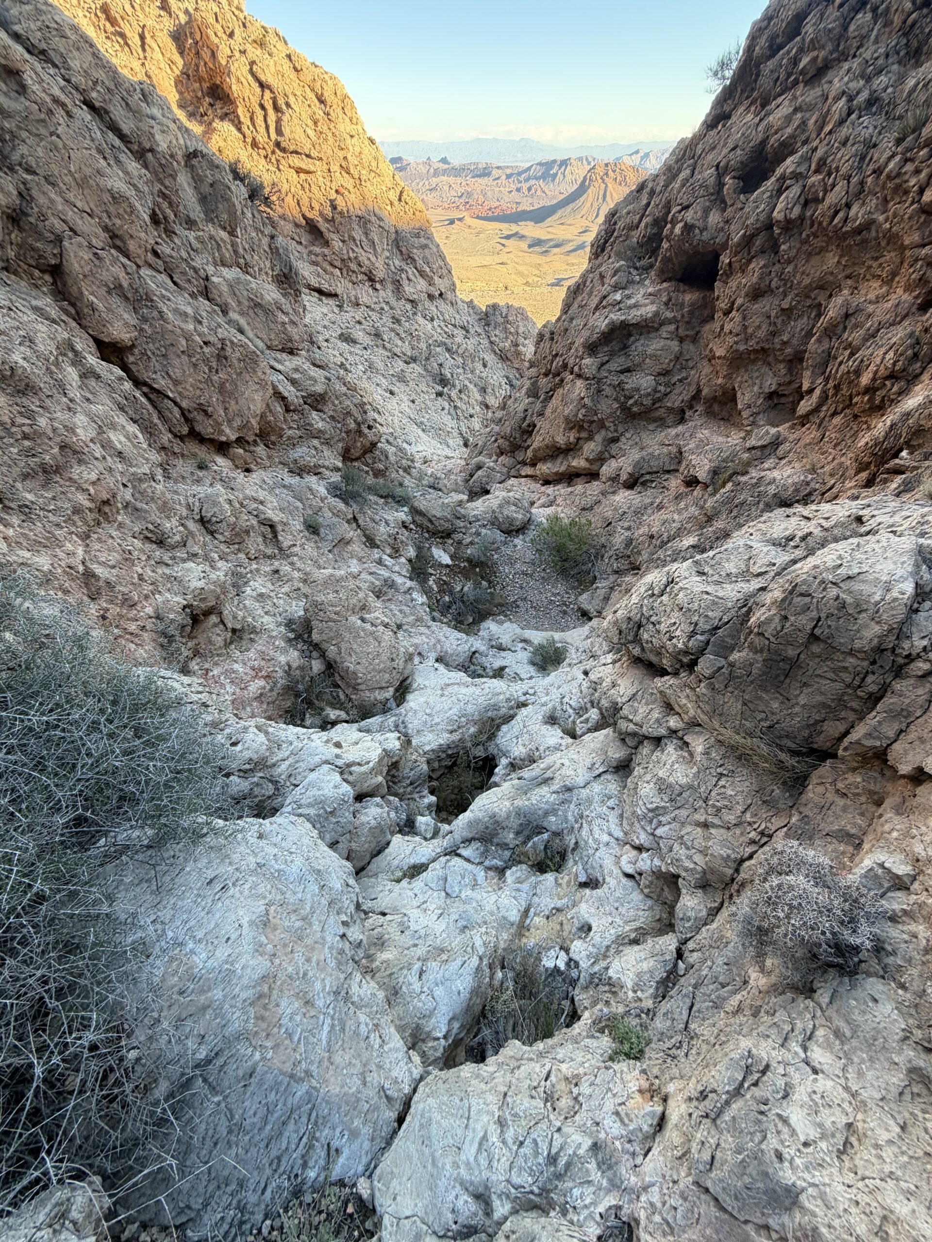
As the wash below finally came into view, my heart sank. The final dry fall was at least 100 feet tall, with no obvious way around it on either side. I’d committed to a gully that looked perfectly reasonable from above, only to find myself staring over an impassable drop with no easy way down.
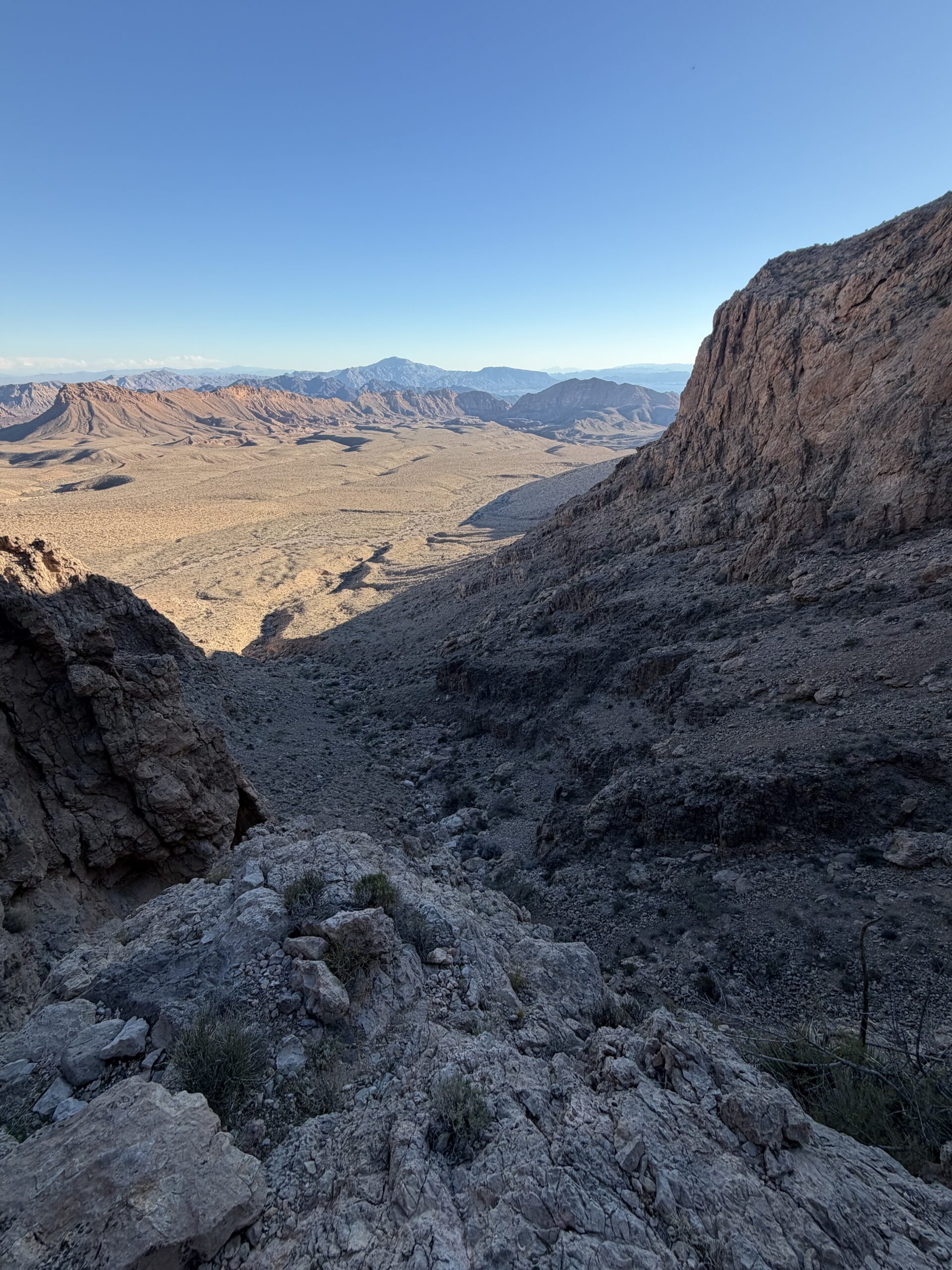
With no other option, I started scrambling back up, climbing over two of the smaller dry falls before finding a spot where I could escape the gully across talus slopes to the south. I crossed over another gully system, initially concerned that it might dead-end just like the first, but finding the next one clearly continued all the way to the base with relatively easy Class 2 scrambling. It deposited me directly below the 100-foot dry fall, with an easy hike back toward the main wash. A bit more route-finding than I’d anticipated for what had looked like a straightforward descent.
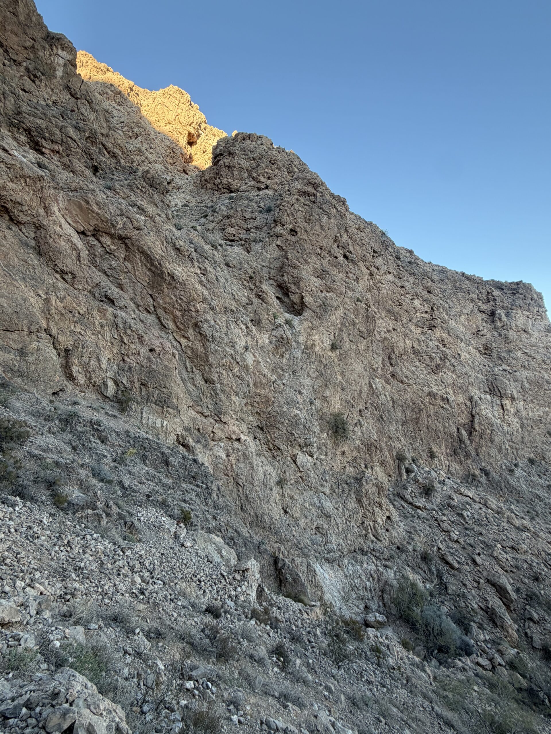
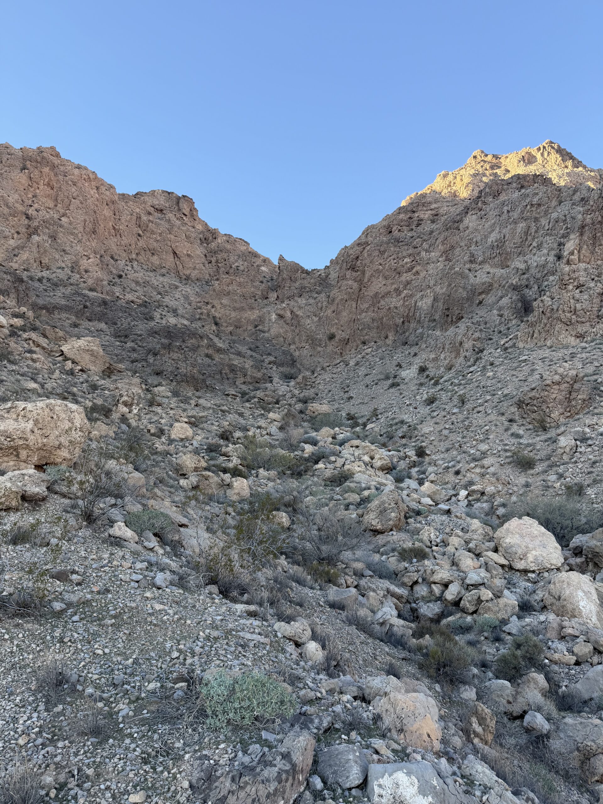
The sun was already low on the horizon as I finally made it back into the main wash, setting before 5 PM now that Daylight Saving Time had ended. It was about 4:15 when I reached the car, with just enough daylight left to navigate the wash road back to pavement.
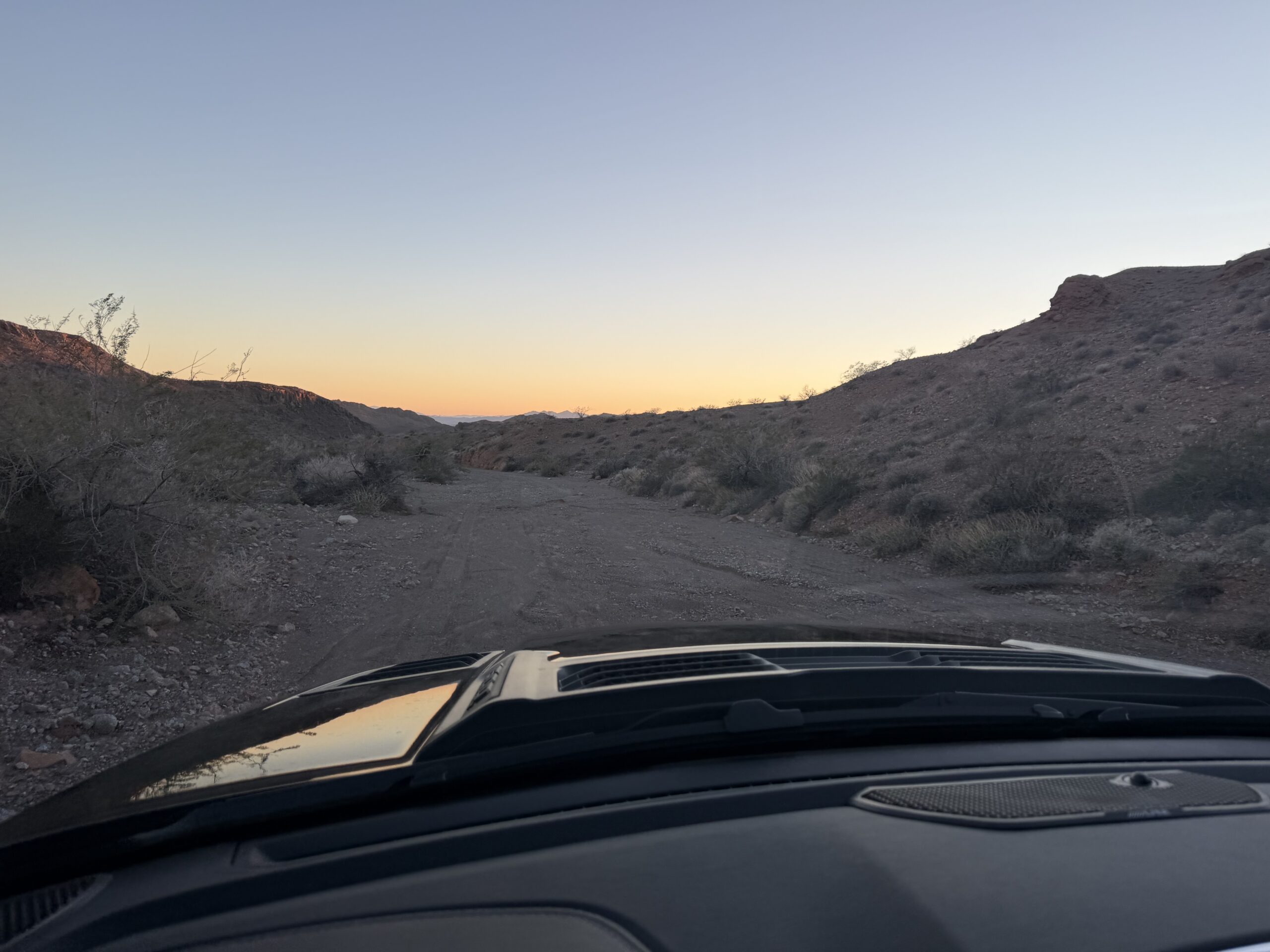
From there, I headed toward Vegas, checked into my hotel, and grabbed some BBQ on Fremont Street before calling it an early night, especially by Vegas standards. There was still plenty of unfinished business in the surrounding mountains, and I’d be back at it early the following morning.