
Mount Rainier 14,406′
Pacific Northwest
Total Time: 13:00
Distance: 16.4 miles
Elevation Gain: 9100′
Crux: PD
Trailhead: Paradise Visitor Center- full services


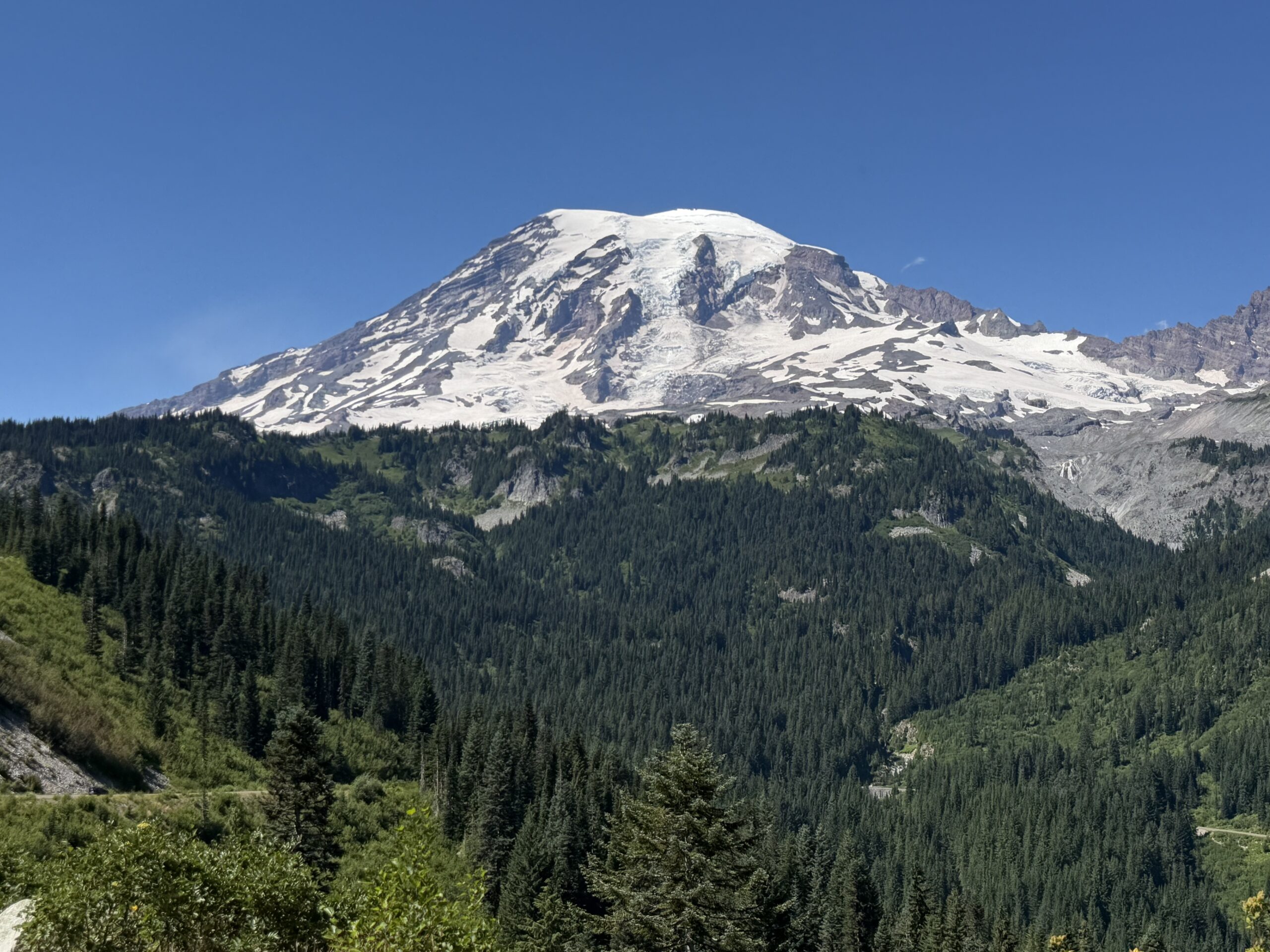
Mount Rainier, a dormant volcano standing at 14,406′, is the highest mountain in the Cascades and the most glaciated peak in the lower 48 states. It is a life-list climb for most peakbaggers, yet in my 15 years of chasing summits across the country, I had somehow never made it a priority. Part of that was the time commitment: guided climbs typically take 3-4 days on the well-traveled Disappointment Cleaver Route, while private groups commonly climb it in two days. A single-day push is considerably less common.
But when a planned week of climbing in the Bugaboos fell through, I suddenly had a week off in July and decided, somewhat impulsively, to apply for a permit to climb Rainier solo. The application was nine pages long, asking about previous glaciated ascents, hypothetical scenarios and a detailed itinerary. Having never climbed Rainier before, I expected to be denied. The park receives roughly 200 solo applications annually and approves less than half of them. I was therefore quite shocked when I opened my email to find that I had been approved. Apparently, my experience on other glaciated summits was enough for the climbing rangers to give me a pass.
After warming up on Mount Washington in Oregon and Mount Adams in nearby southeast Washington, it was time for the main event. I gave myself a full rest day after Adams, filling out paperwork, obtaining my physical permit from the climbing rangers and heading to bed immediately after dinner at my hotel in Packwood.
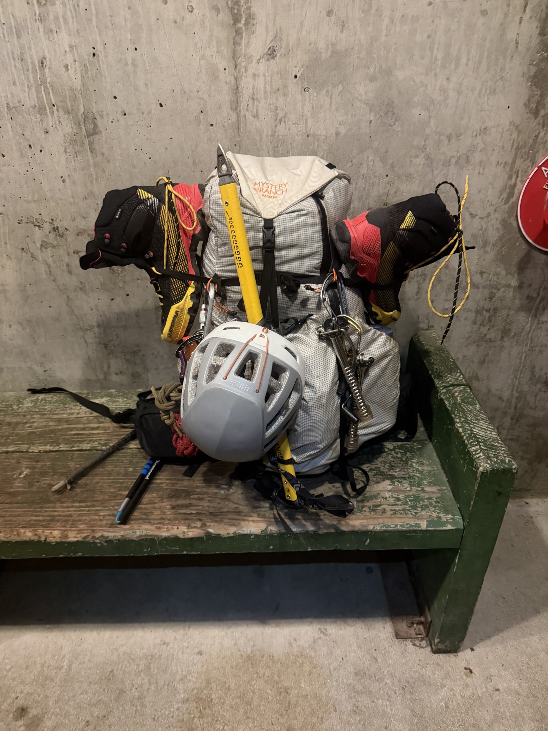
When my alarm went off at 11:20 PM, it marked the earliest I had ever woken up for a summit day. My bag was already packed as I drove into the park, the Paradise Visitor Center parking lot mostly empty at the late/early hour. Between the drive, a quick breakfast and a bathroom stop, it was 12:40 AM when I officially stepped onto the trail.
A network of trails winds around the visitor center, many of them paved, and I referenced my GPS frequently to make sure I didn’t take a wrong turn. The paved trail was quite steep, and I was a little nervous about still feeling sore from Mount Adams two days earlier. The thick fog didn’t help, hanging low in the valley after some light rain the day before.
I broke through the fog as the trail transitioned from pavement to dirt near Panorama Point and reached Pebble Creek at 7,200′ about an hour after starting. I had only been carrying a half-liter of water to save weight, so I stopped to fill all my bottles, bringing my total to four liters for the rest of the climb. There would be no flowing water above this point. The creek crossing was an easy rock hop, and I encountered the first patch of snow on the opposite side. I crossed another small patch in my trail runners, but the snow soon became continuous. I stopped to change into my mountaineering boots and crampons, which I would wear for the rest of the day.
I was now entering the Muir Snowfield, a technically straightforward, crevasse-free snow climb of nearly 3,000′ to Camp Muir. I had set a goal of reaching camp in 3-4 hours, which would put me about halfway through the day’s elevation gain, although the majority of the technical challenges were still ahead. As I climbed the firm snow, I could make out the contours of the summit against the faint glow of Seattle to the west, with thousands of stars filling the moonless sky. I turned on a podcast to help pass the time and reached Camp Muir 3 hours and 20 minutes after starting—an excellent pace for a single-day push.
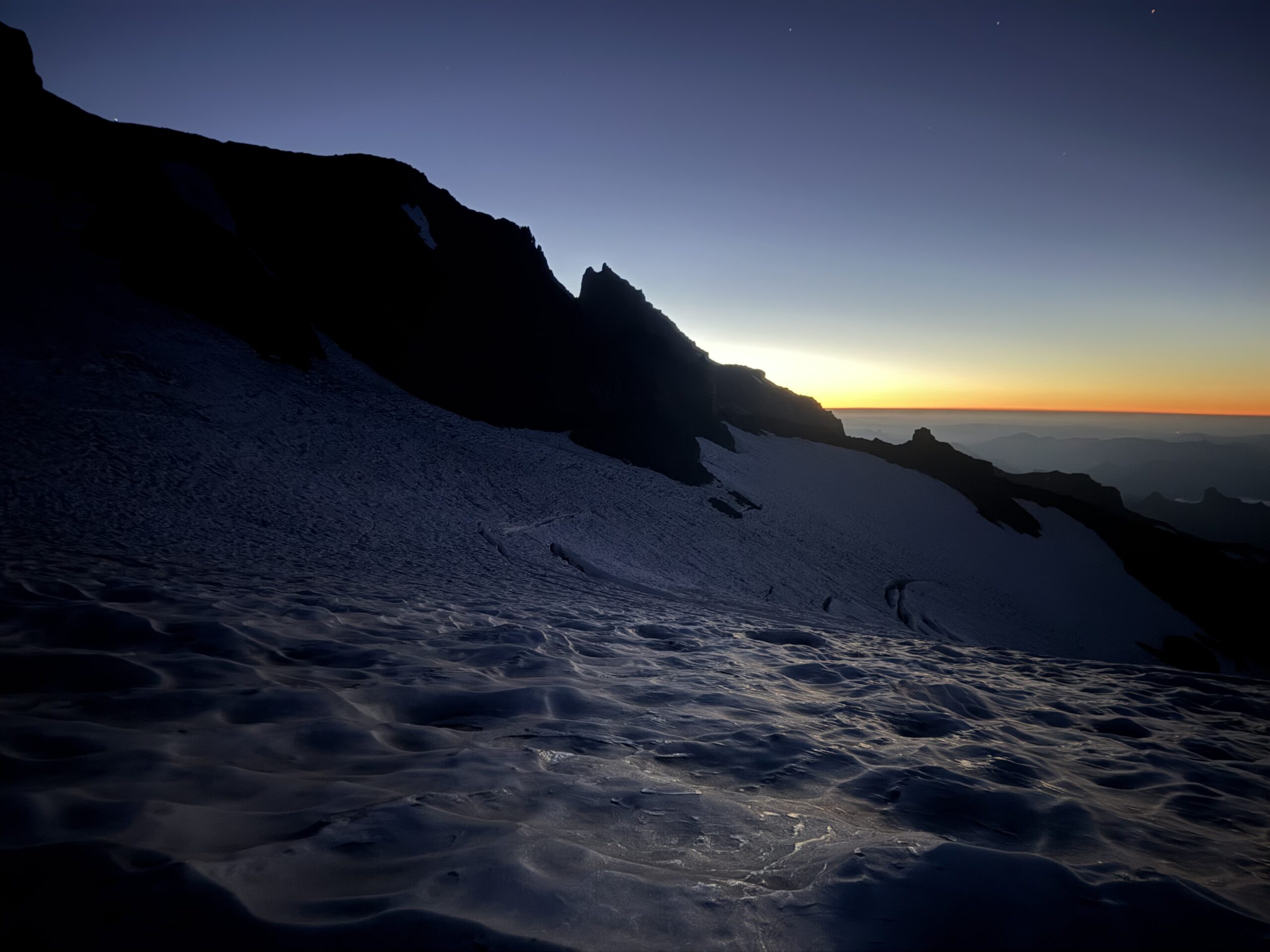
The wind was strong at camp. I dropped onto the Cowlitz Glacier past a series of tents, taking a short break to put on my helmet, harness and warmer layers for the rest of the climb. There were no headlamps in sight on the mountain, which wasn’t surprising; I was likely about an hour behind the parties that had left Camp Muir that morning. I followed the bootpack through the darkness across the Cowlitz Glacier, moving quickly over the ice, which was studded with rockfall. Less than 20 minutes later, I was back on rock and scree at Cathedral Rocks. There was a hint of sunrise to the east as I crossed onto the Ingraham Glacier, where a string of headlamps moved steadily up Disappointment Cleaver to the north.
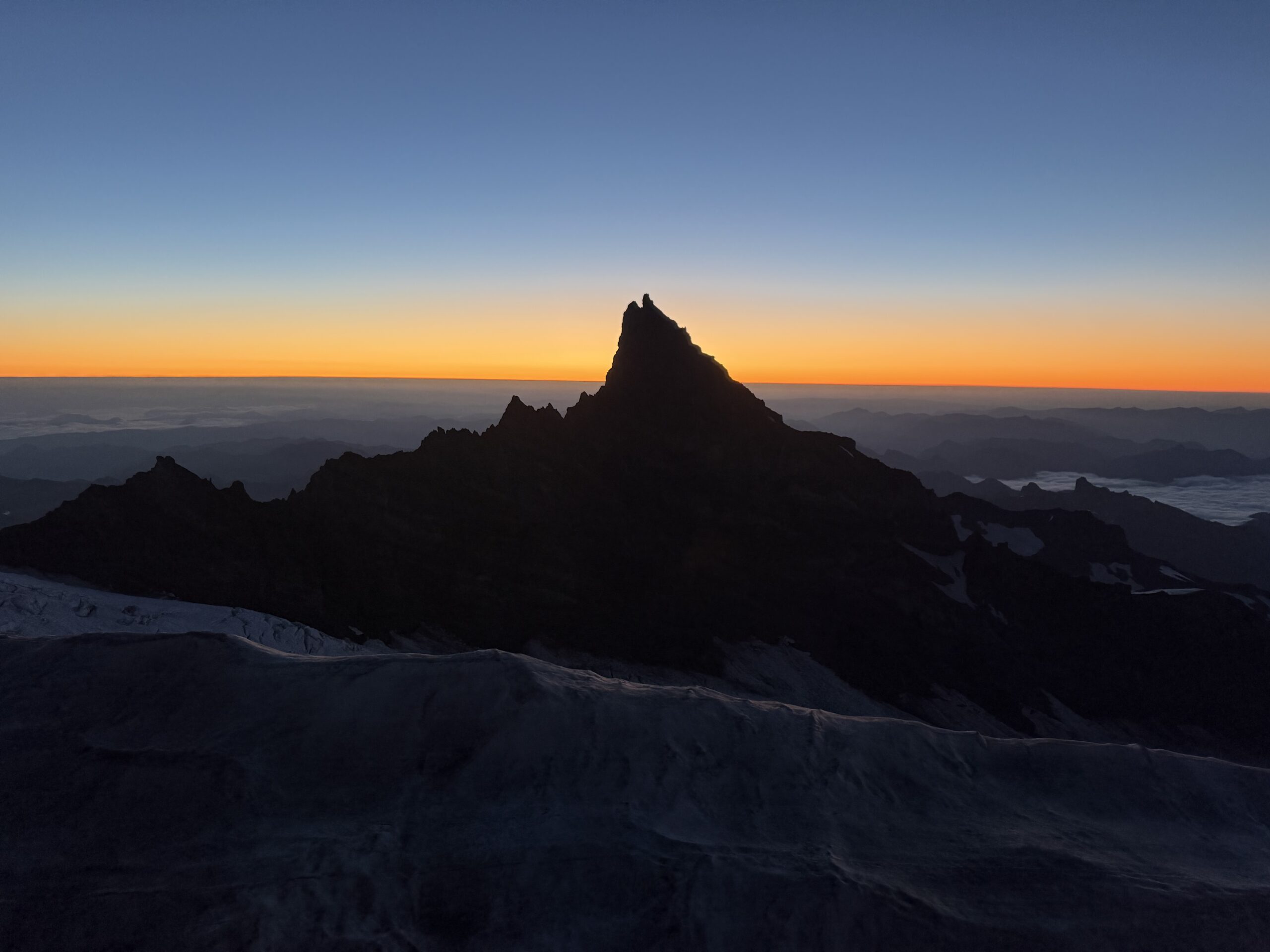
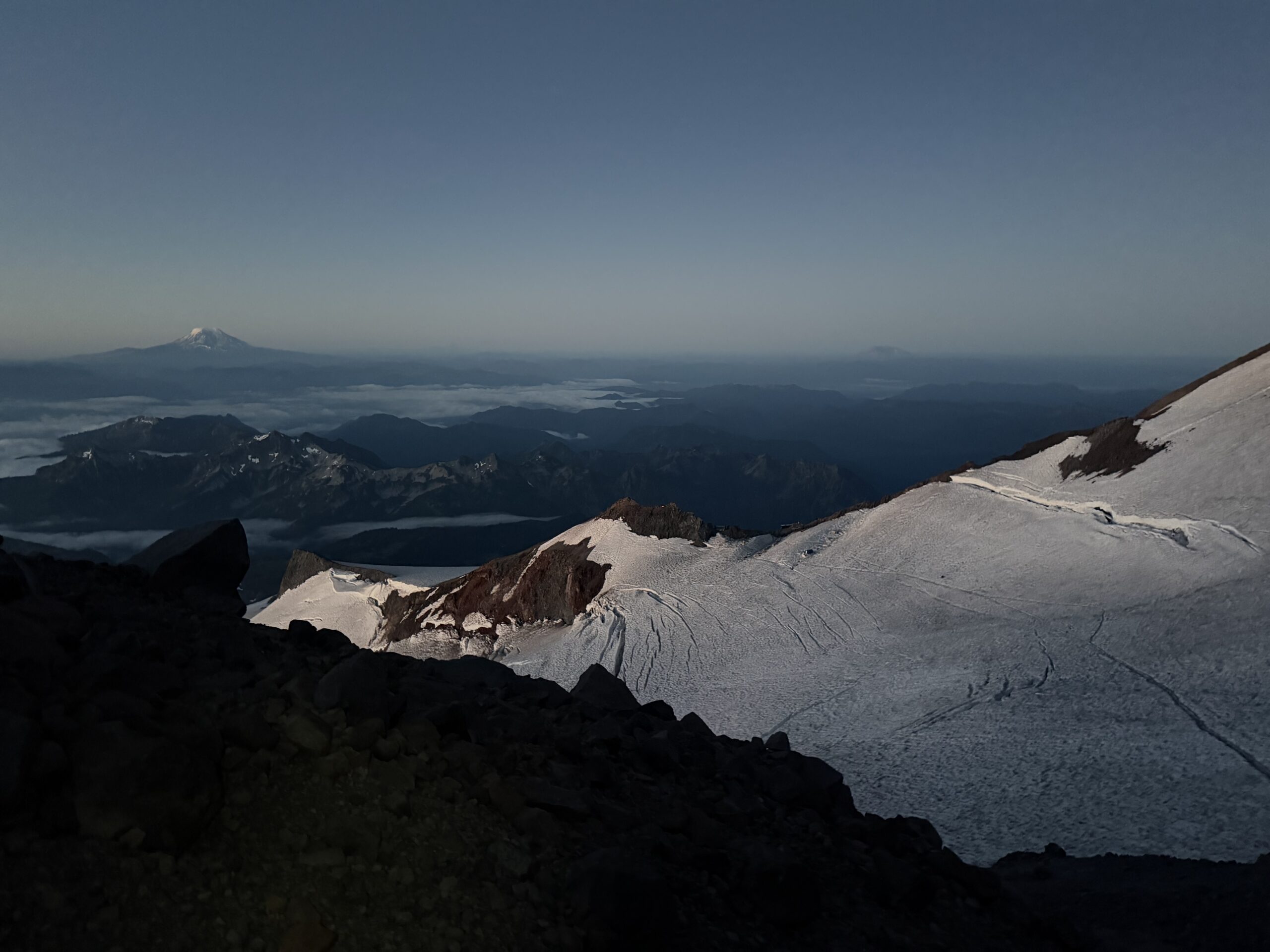
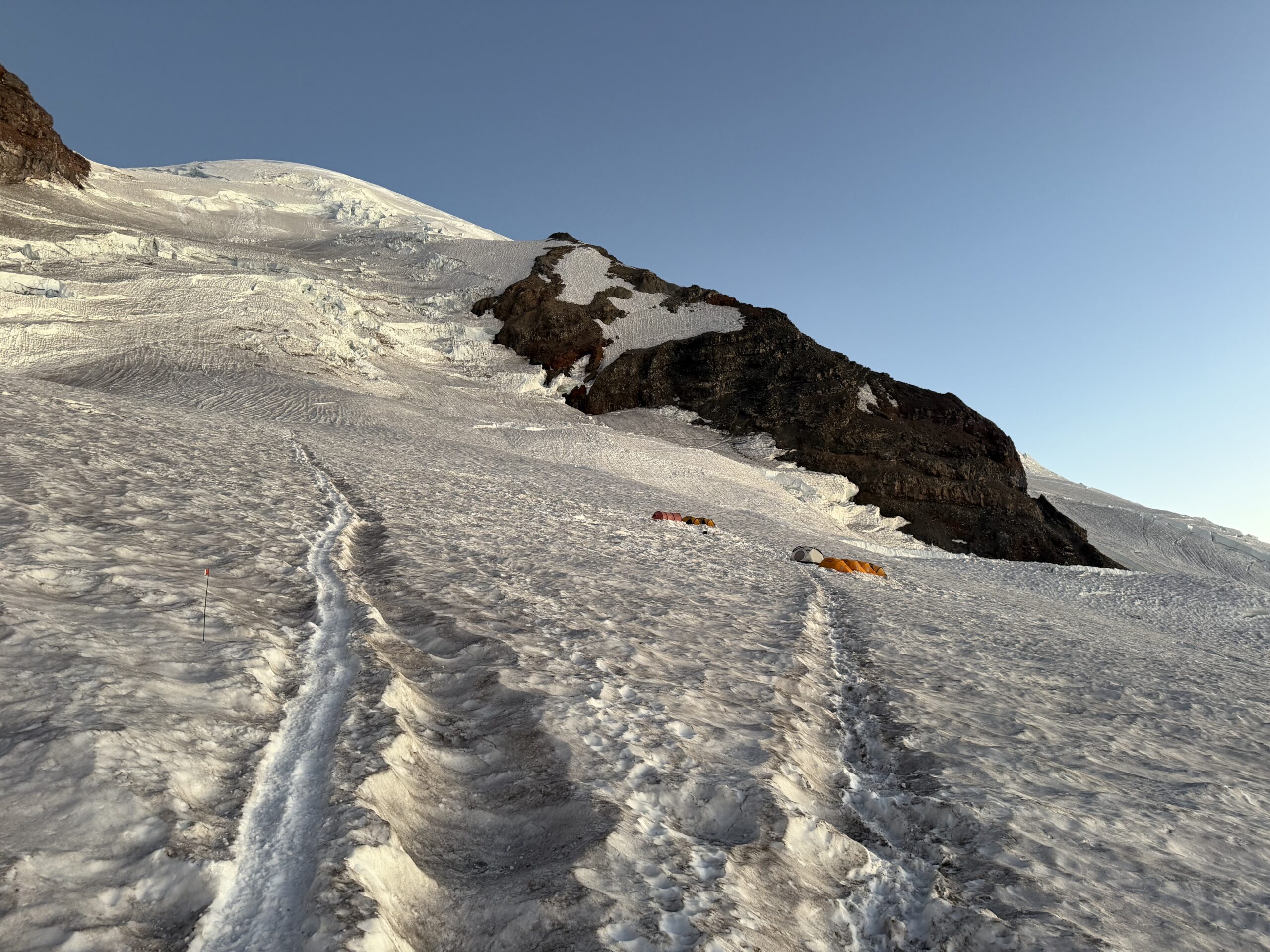
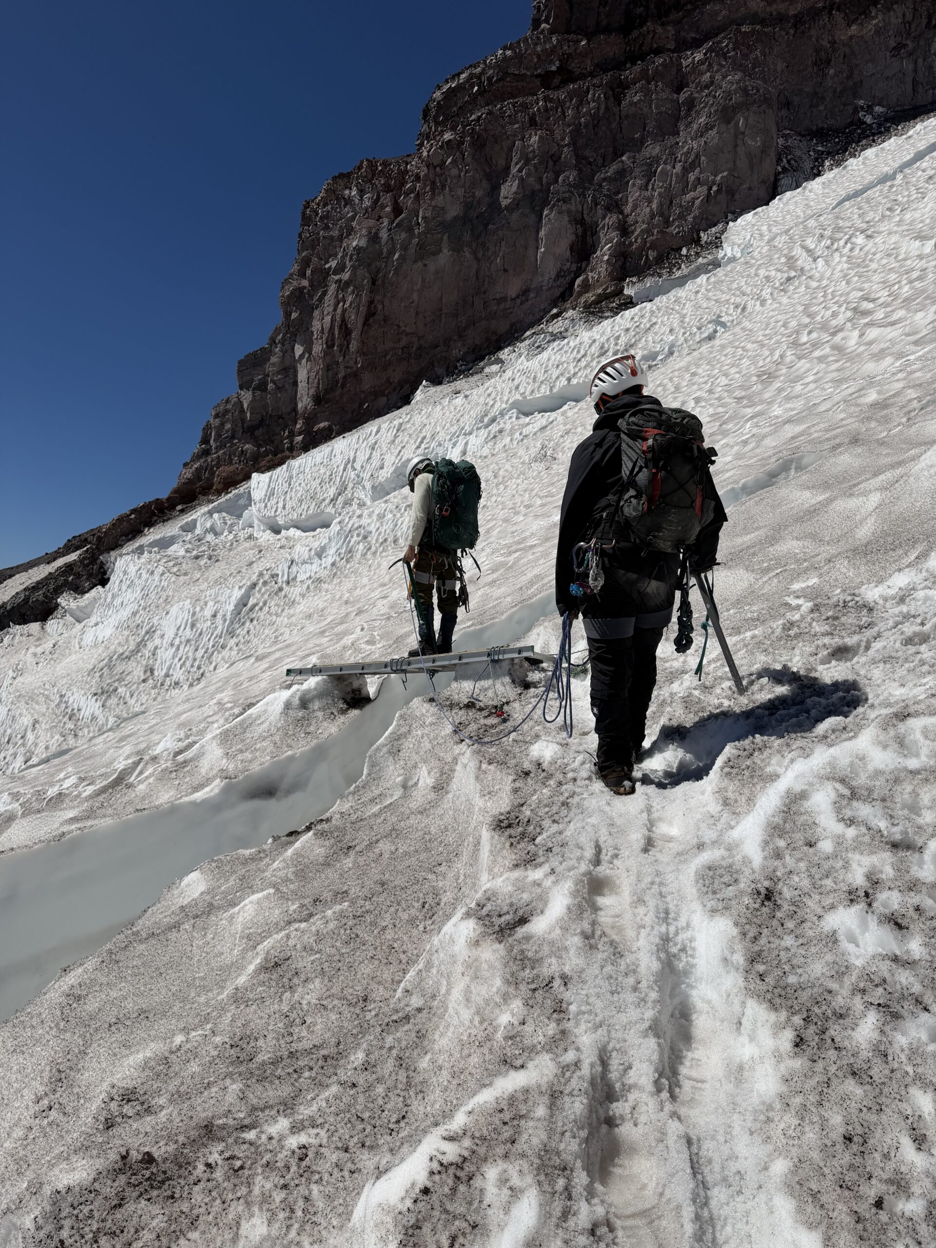
I passed a series of tents at Ingraham Flats, a level section of the glacier generally protected from rockfall and avalanche danger, and stopped for a short breather. The next section was considered to have some of the greatest overhead hazards on the route. From Ingraham Flats, the bootpack climbed directly up the glacier to get above a large crevasse. A short ladder at the top eliminated the need for a sketchy step across the gap. The sun was just rising over Little Tahoma, illuminating the ladder and the seracs above me. For the first time that morning, I began to appreciate the magnitude of attempting this climb alone in a single push.
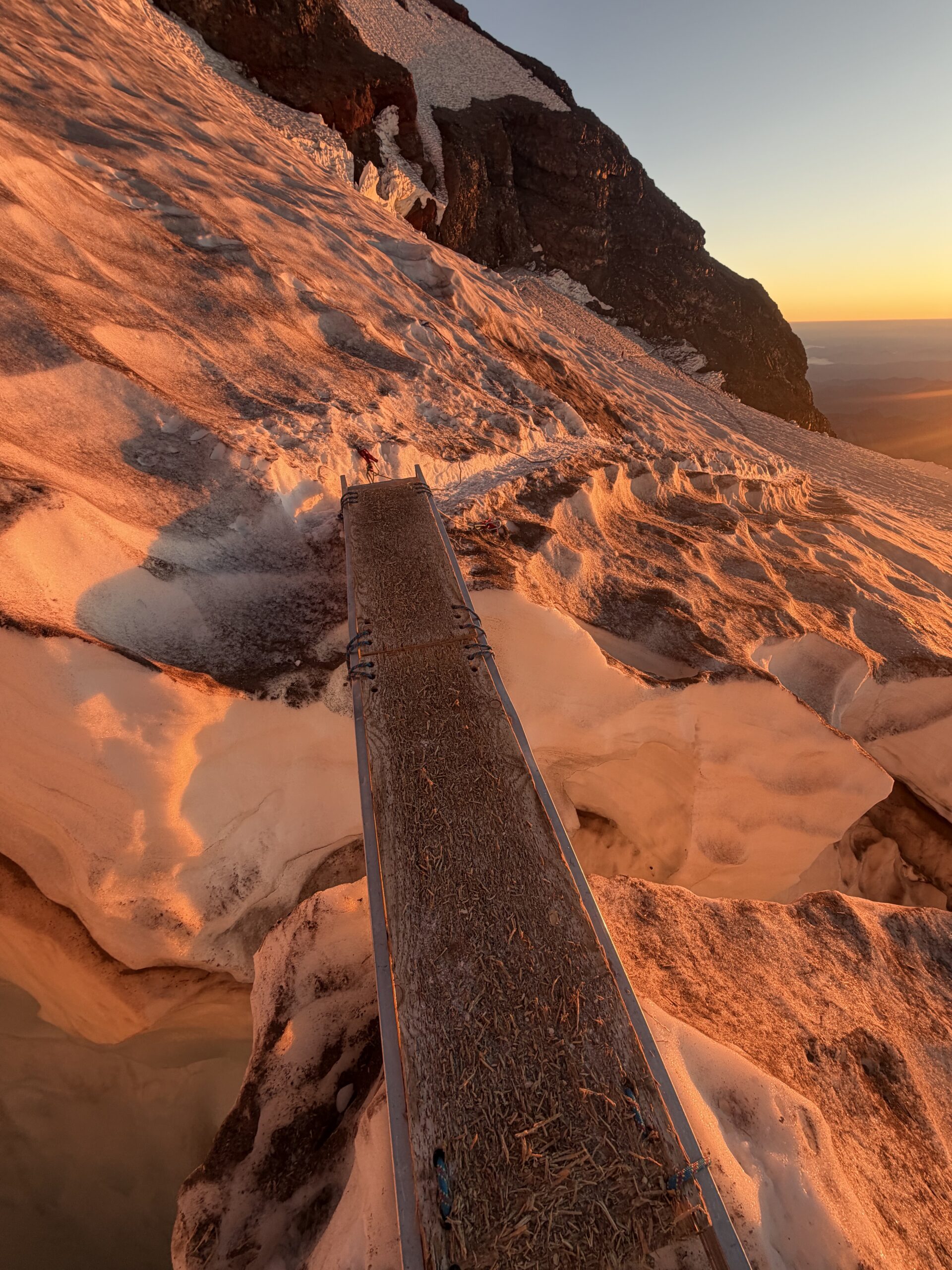
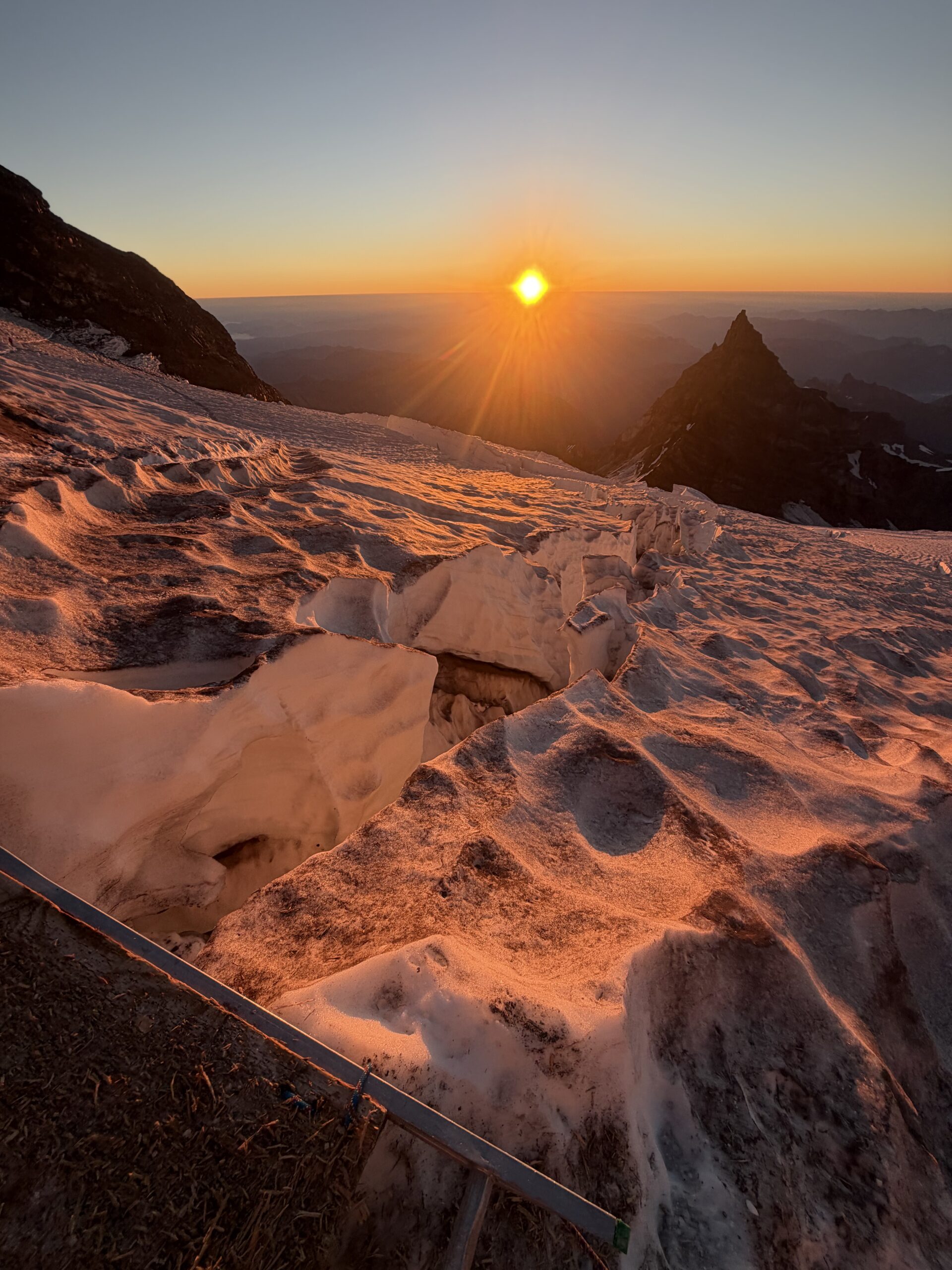
I still needed to move quickly. Although serac collapse would be less likely during the coldest part of the morning, this section of the route, known as the Icebox, had been the site of one of the deadliest accidents in U.S. mountaineering history, when 11 people were swept off the glacier by a serac collapse in 1981. Once I crossed the ladder, I moved quickly through the Icebox and reached the base of Disappointment Cleaver in a section known as the Bowling Alley. The overhead ice hazards were behind me, but now the primary danger was rockfall from climbers above. I had no idea at the time that a climber had died from rockfall on this section just a few days earlier, the first death on the route in several years. Instead, I was suddenly faced with about 20 climbers descending. There was no way they had already summited, so I stopped a group to ask what was happening.
“A snow bridge on the route collapsed. RMI is working on a reroute, but as of now there’s no way through.”
I felt dejected. Disappointment Cleaver suddenly felt quite literal. I had been happy with my pace and still felt strong enough to finish the route, but it seemed the mountain had made the decision for me. Still, I decided to continue. There were a few teams above me, and I held out hope that RMI would find a way around the collapsed snow bridge. I wasn’t going to blindly push through a closed route, but if the guides established a safe reroute, I wanted to at least see it for myself.
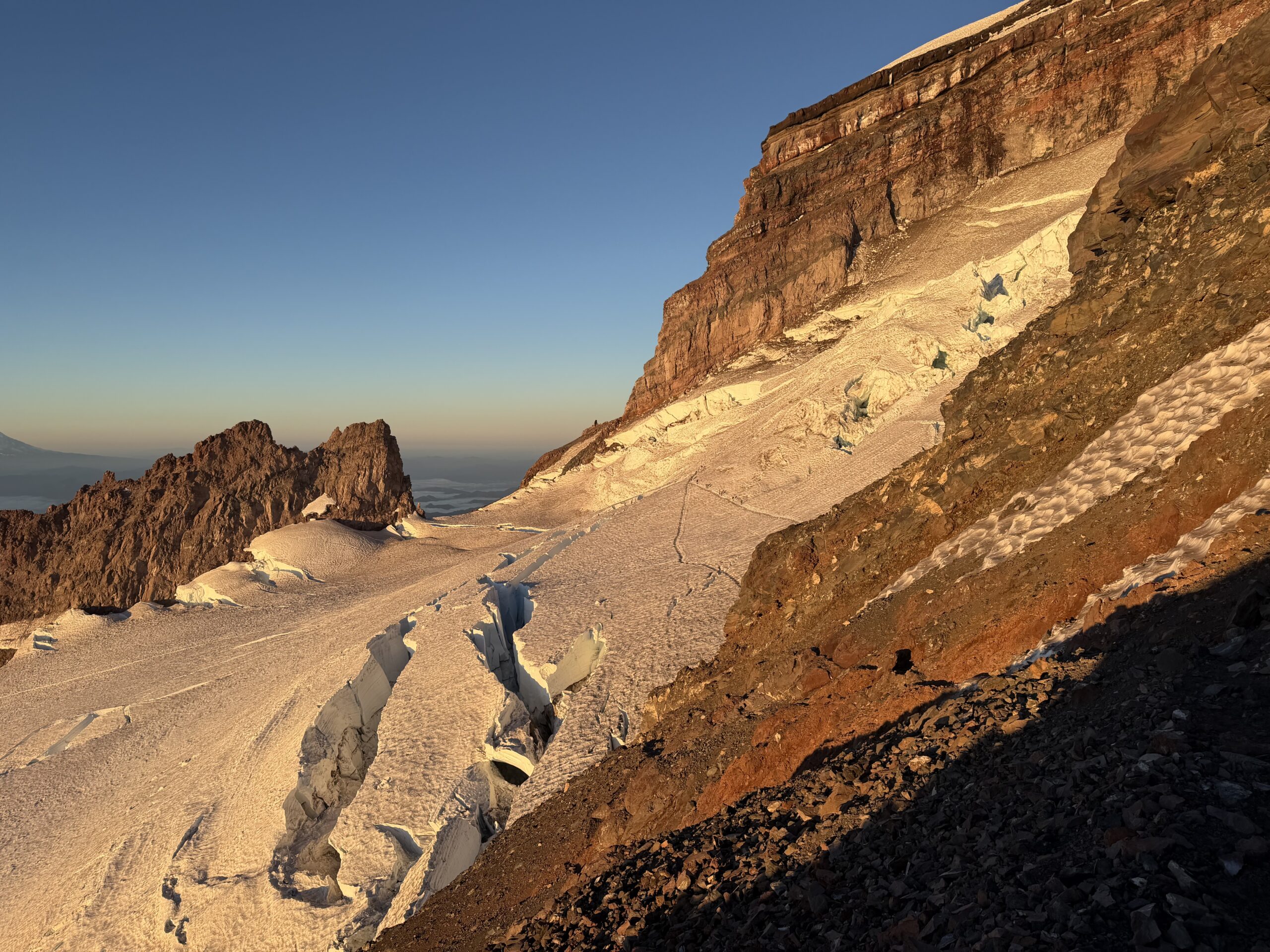
I passed the first climbers of the day just below the top of Disappointment Cleaver, where the upper Emmons Glacier finally came into view. Multiple teams were moving above the larger crevasses, renewing my hope that the guiding companies had found a way through.
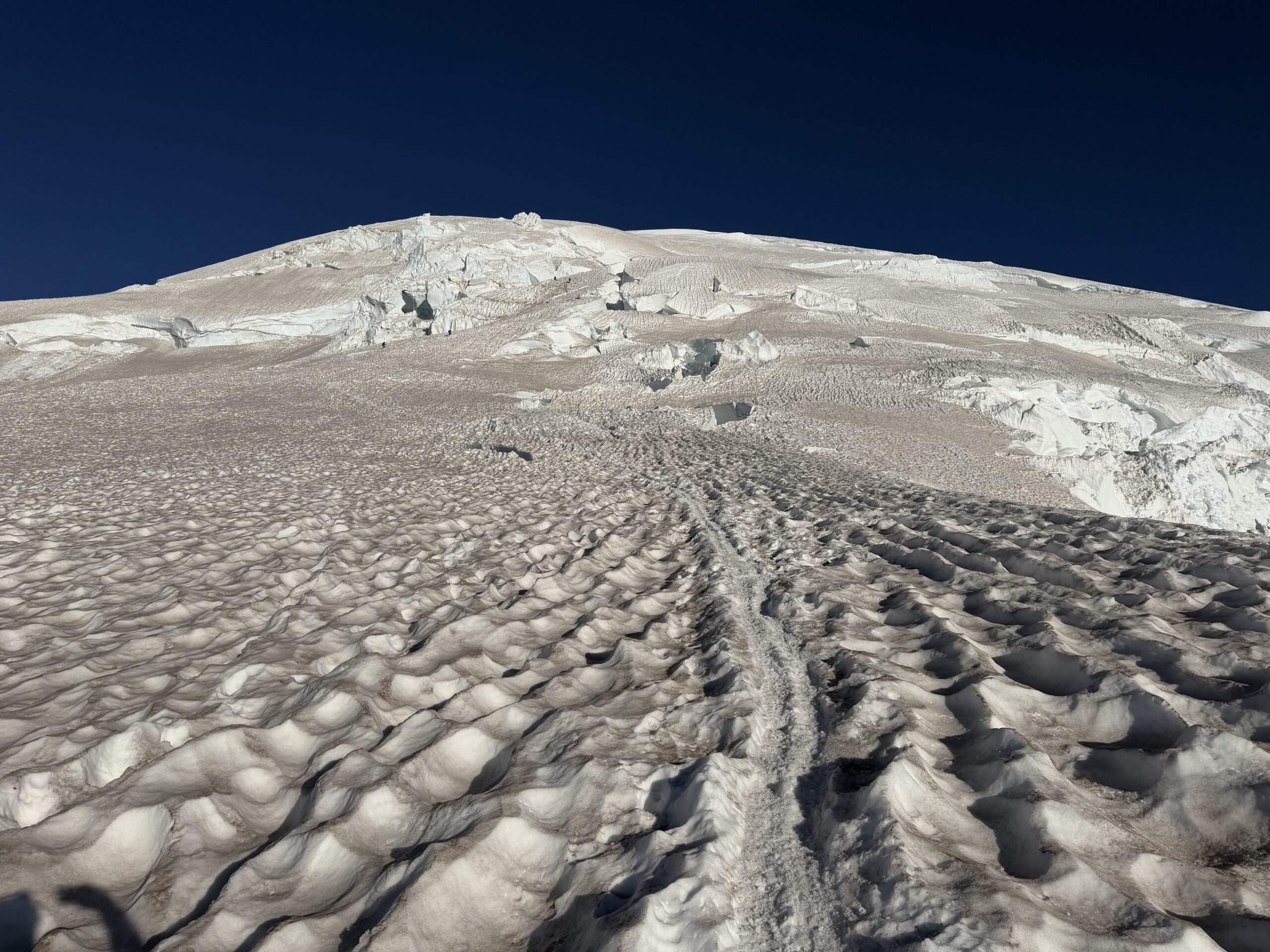
On their descent, I stopped a team of three, one of whom appeared to be a private guide.
“Does the route still go?” I asked.
“You should fucking know if you’re up here solo.”
I was surprised by the hostility. I wasn’t asking for basic route information out of ignorance; the route had literally changed that morning after a snow bridge collapsed.
“They have a reroute through,” he added. “Just pay attention to the wands.”
I continued up the bootpack, which appeared to lead directly toward the largest crevasse above. The route switched back and forth around the opening, which was large enough to swallow a tractor trailer. Eventually, the path crossed the crevasse at a narrowing where debris from the collapsed snow bridge had filled in a small section of the gap.
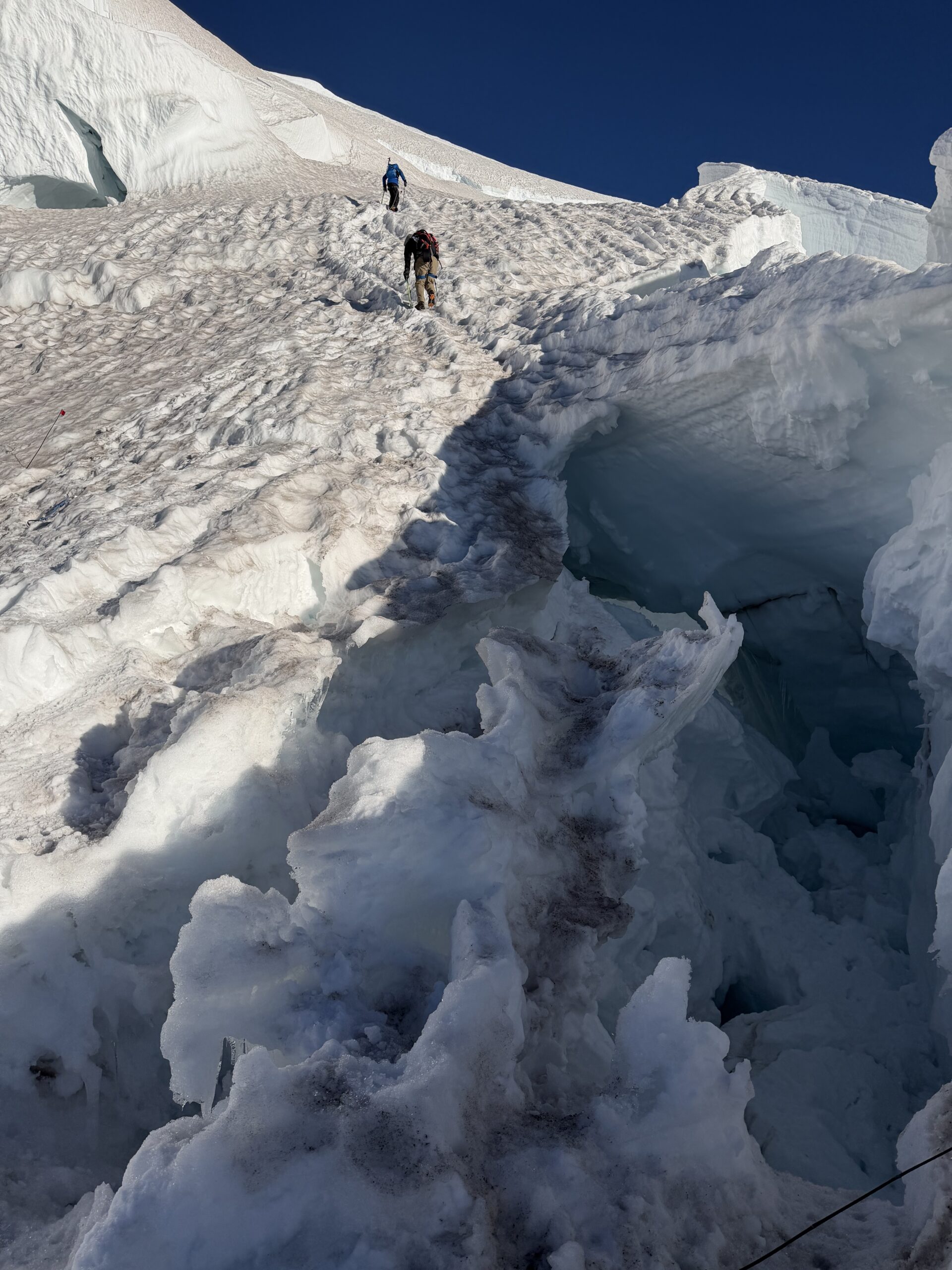
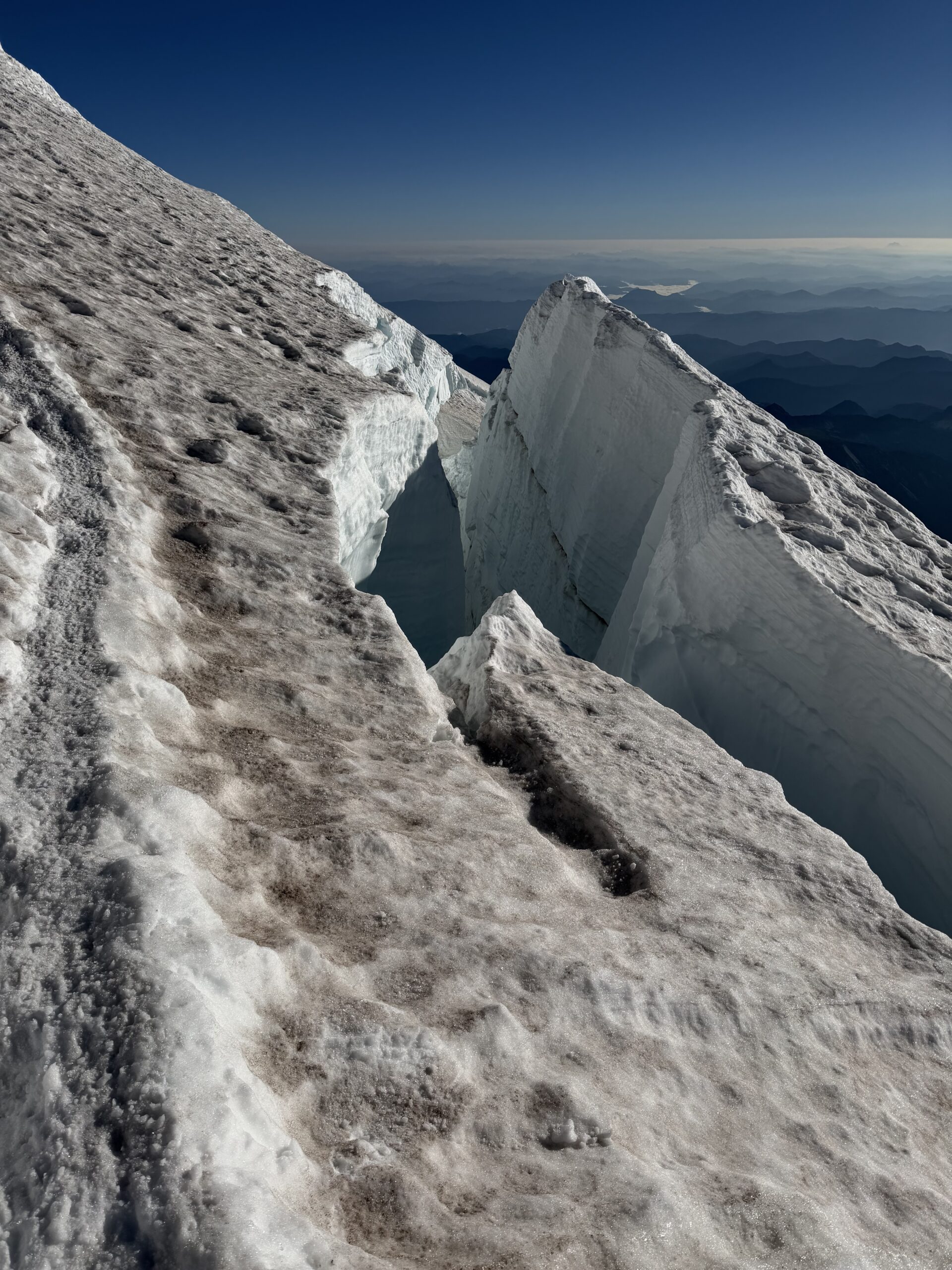
The walls of the crevasse rose above my head as I crossed, and I moved quickly to the opposite side. The route appeared well established, and I realized this wasn’t the collapsed bridge that had turned the earlier parties around. The bootpack then traversed around another long crevasse system to the north before working back southwest, with outstanding views toward Mount Adams and Mount Hood. I began catching and passing a number of parties. The combination of altitude—now above 13,000’— and high winds was slowing many climbers down. I asked several groups when they had started. Many had left Camp Muir around 12:30-1:00 AM, roughly the same time I had started 4,600′ lower.
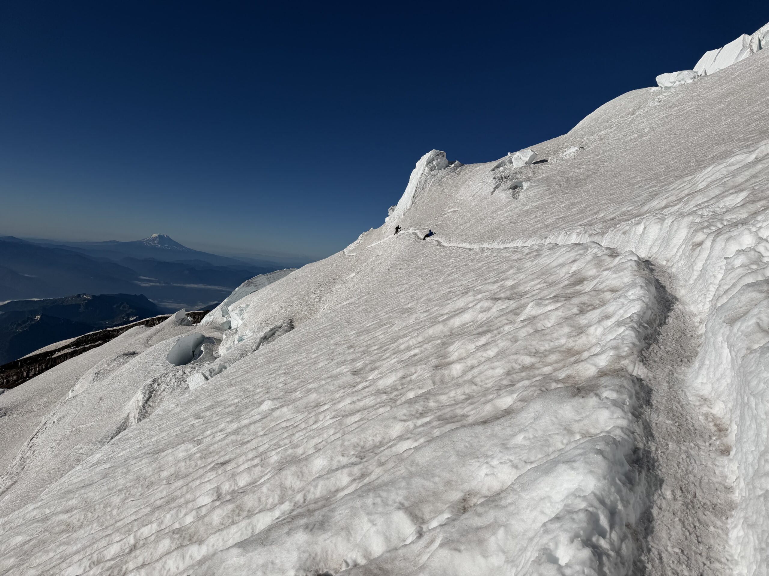
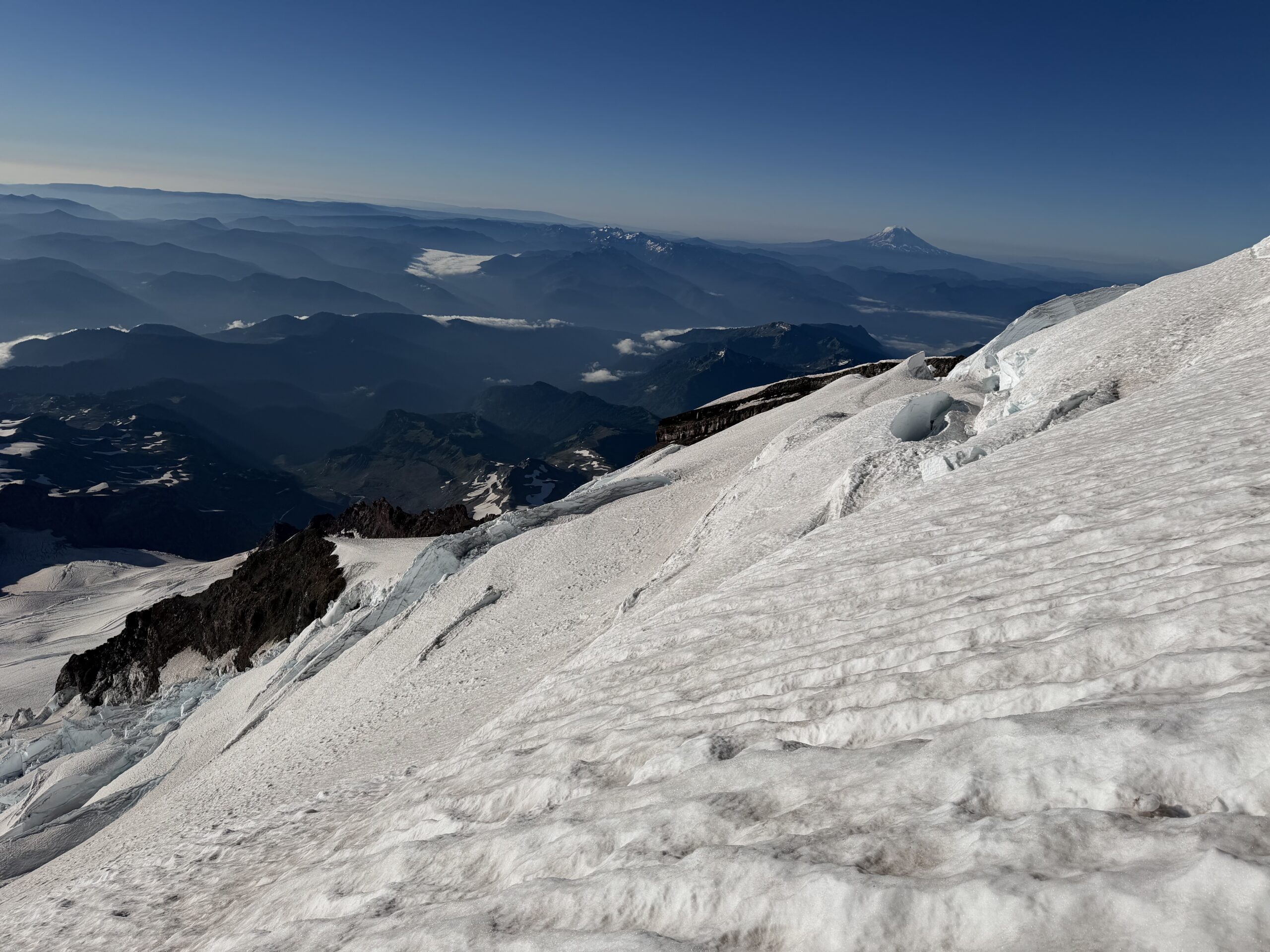
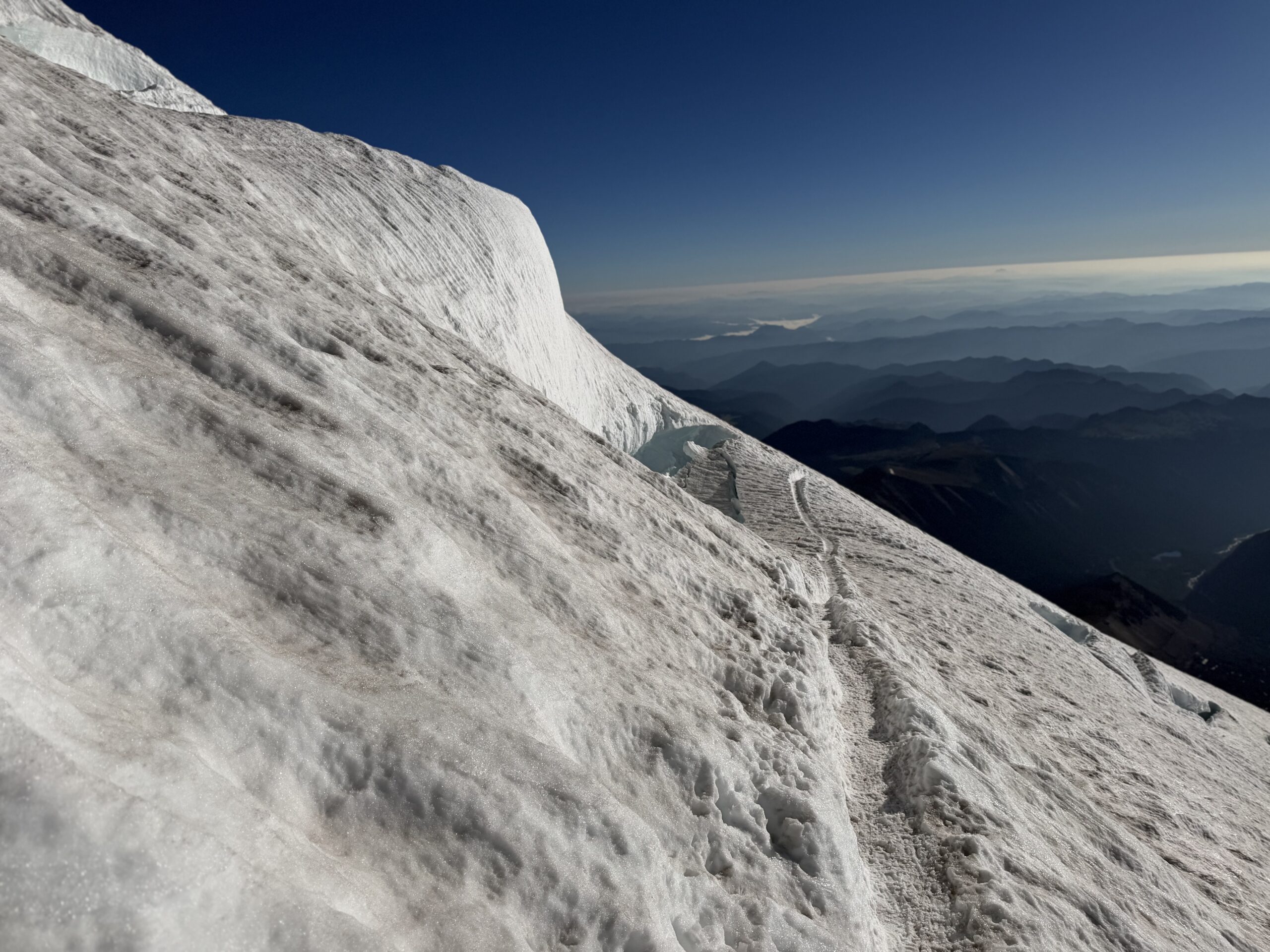
The crevasses became smaller in this upper section, and I quickly passed the actual reroute around the collapsed snow bridge, which was only about 50′ from the new bootpack. One final wooden ladder crossed a narrow crevasse, although it felt almost unnecessary given how small the gap was.
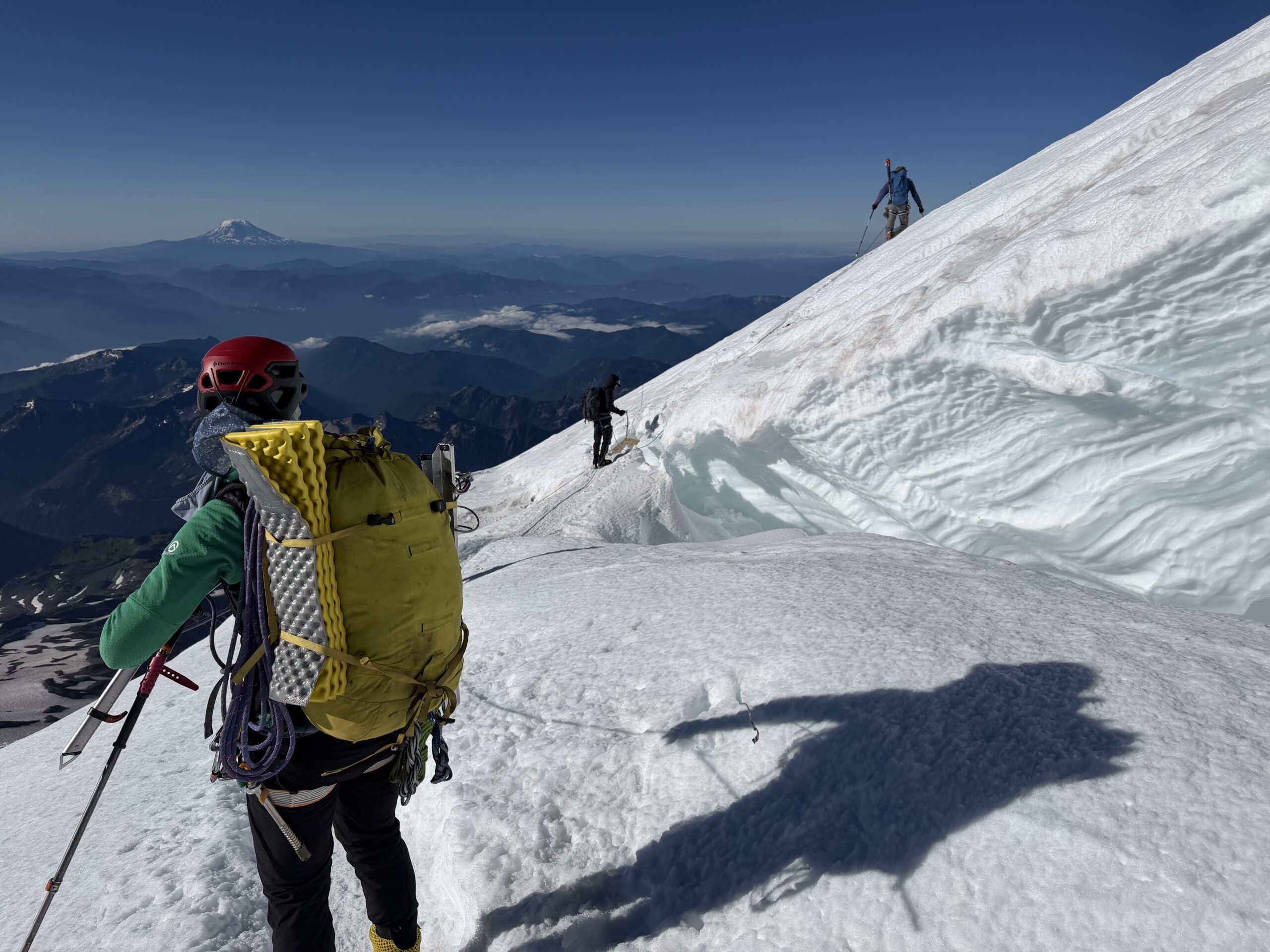
Above the ladder, I passed a few more teams. Now there was nothing but solid snow between me and the rock of the summit crater.
Almost eight hours after leaving Paradise, I reached the southeast rim of the summit crater. The wind suddenly died as I stepped into the caldera.
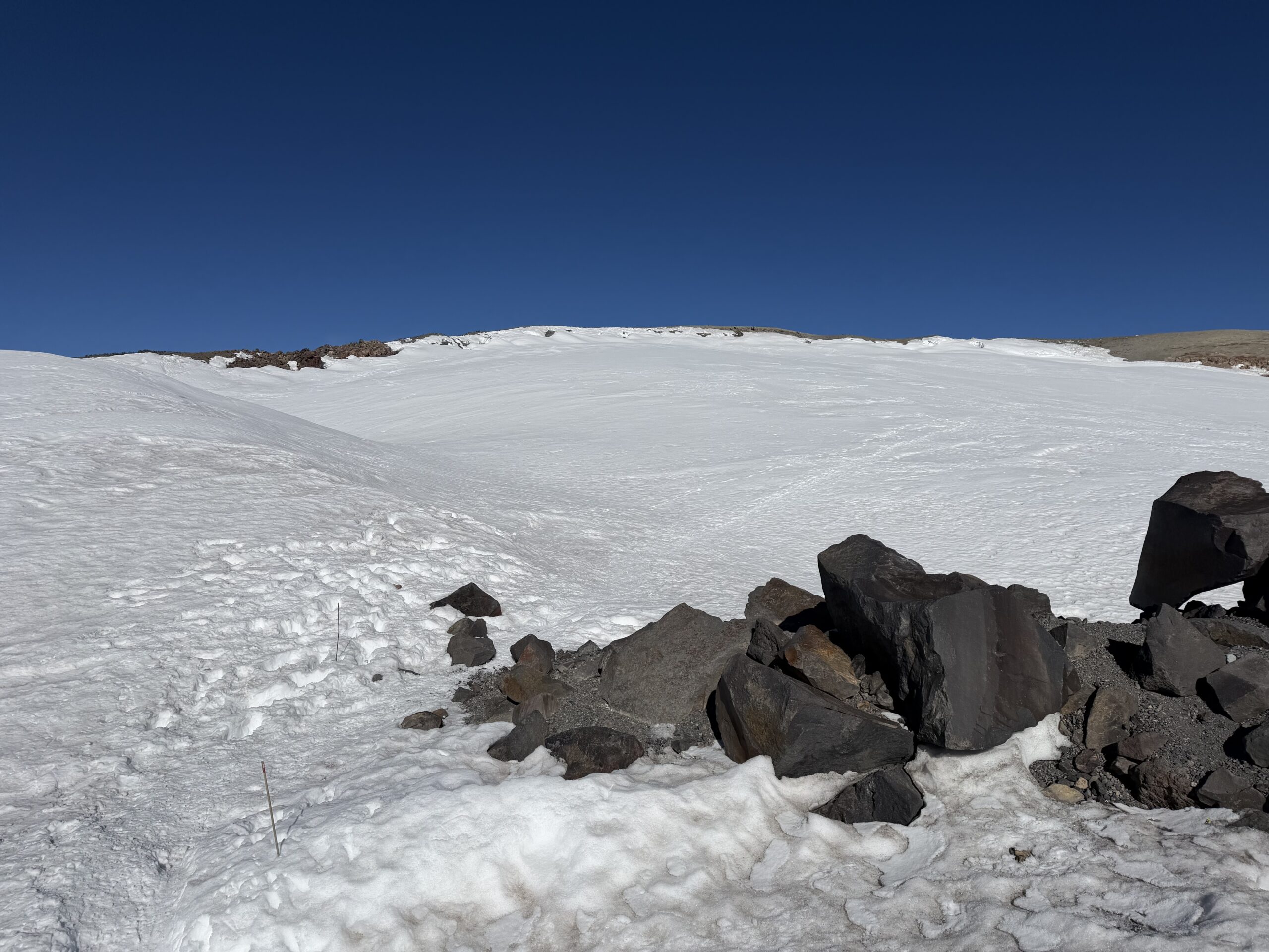
The summit was a short walk away.
I was suddenly overcome by emotion, tears rolling down my face. The uncertainty of whether I would even be able to summit, the raw beauty of the mountain and the hours of constant focus required to navigate the route alone had all caught up with me. After spending the entire morning wondering whether the climb would even be possible, my goal was finally within reach.
At 8:45 AM, I stood on the high point and snapped a few photos before taking cover from the wind back in the summit crater. I had budgeted 10 hours for the ascent and had reached the summit in just over eight. I was thrilled to still feel strong enough that I could have continued climbing if I had needed to.
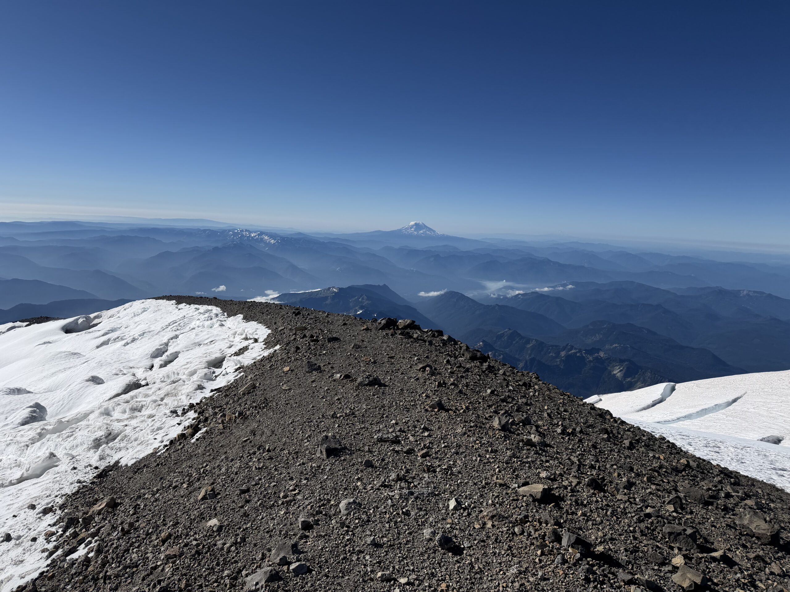
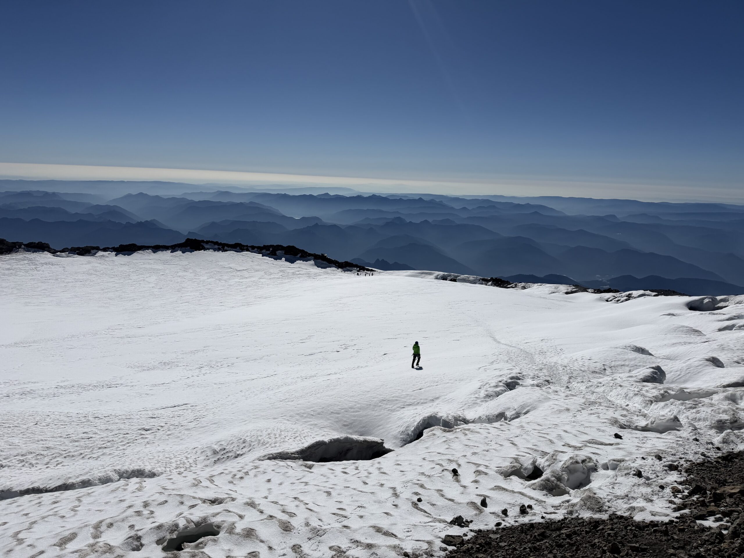
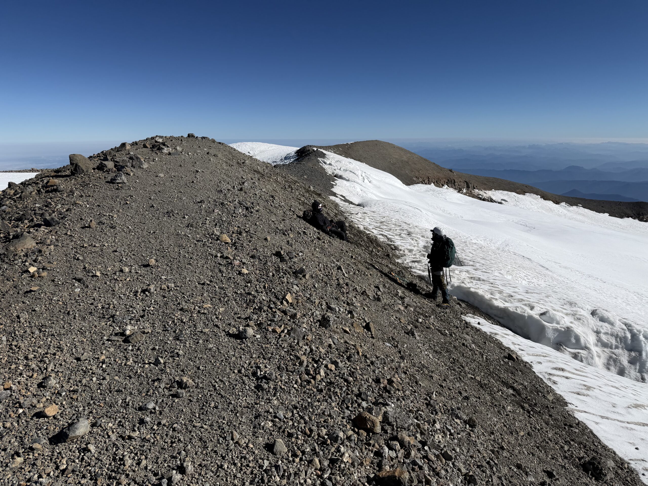
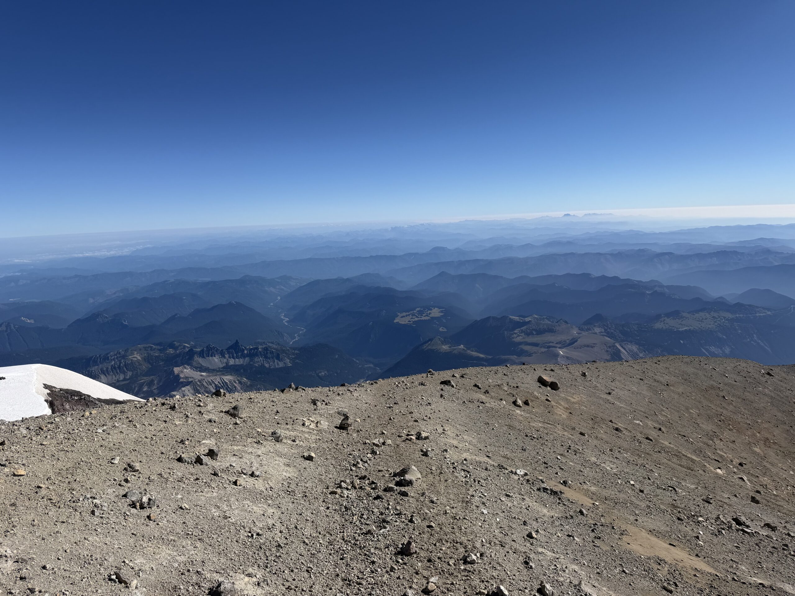
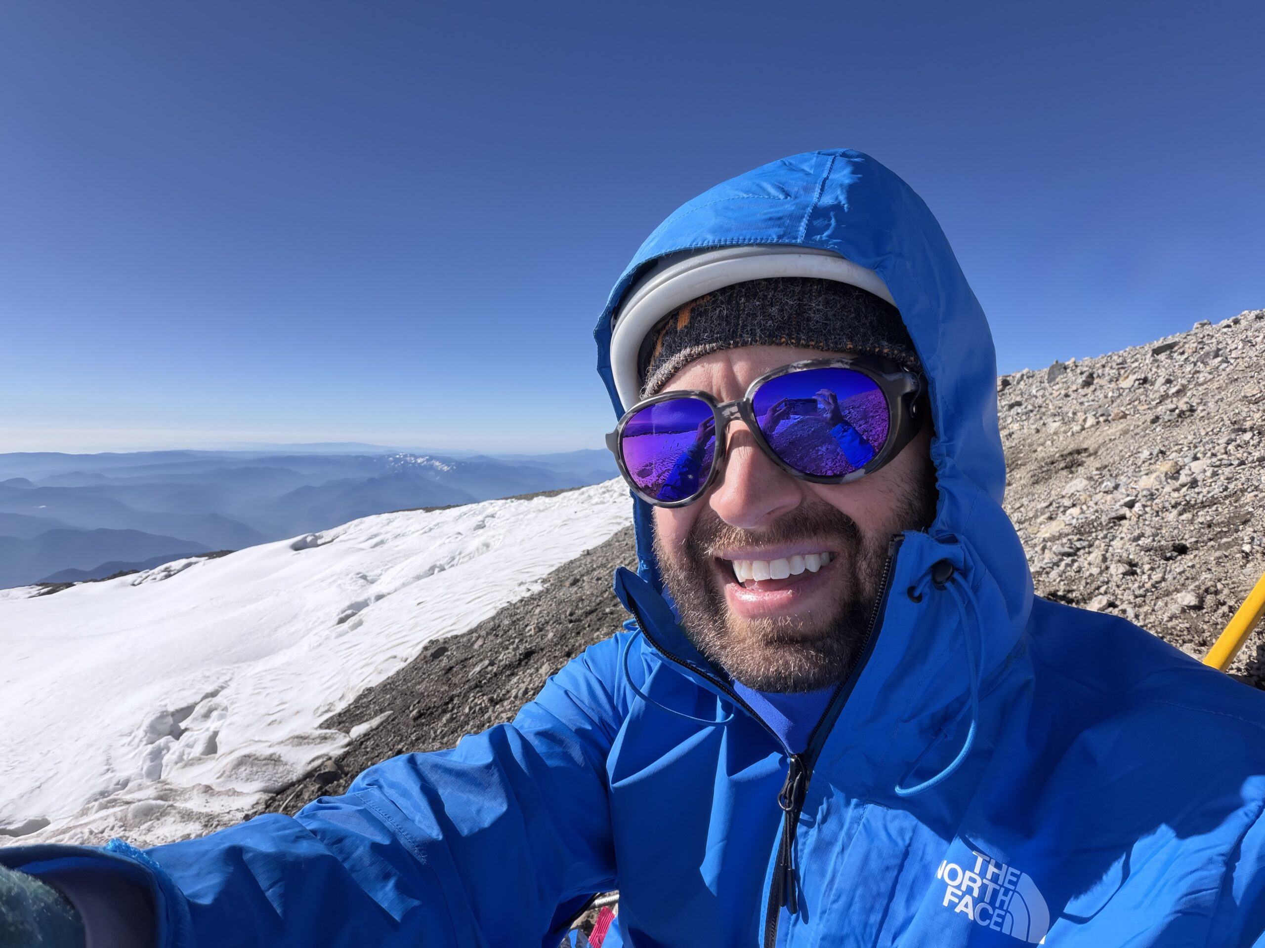
For a moment, I considered Liberty Cap, a ranked 14er 1.5 miles to the northwest. It was tempting. I figured it would probably add another two hours round trip, and I had the energy to make the attempt.
But the summit winds were intense, and there appeared to be a crevasse system between me and the summit of Liberty Cap. More importantly, I was the only climber on the mountain attempting a single push while climbing solo. I had spent the last few hours near other parties, and that had provided an important safety cushion as the route changed. If I went for Liberty Cap, I would likely be among the last climbers leaving the summit area, potentially finding myself alone on the route as the day warmed and the crevasses continued to change.
I decided that standing on one summit was enough.
I started my descent, first tagging Columbia Crest on the northwest corner of the rim—the old high point before the summit ice melted—before crossing back across the caldera. While the upper Emmons Glacier had been crowded with teams on my ascent, I somehow found myself completely alone on the way down. I didn’t pass another team until I reached the top of Disappointment Cleaver.
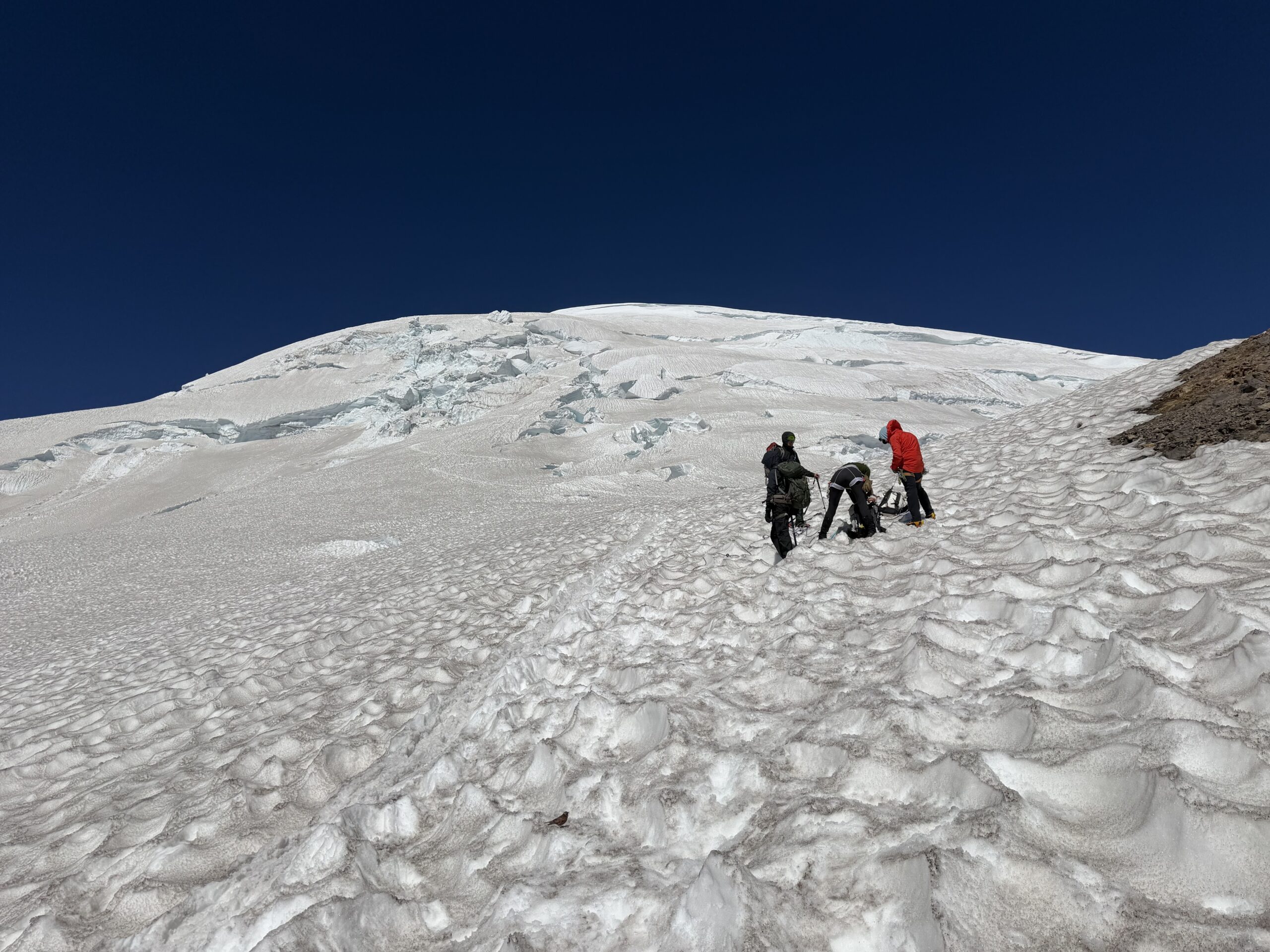
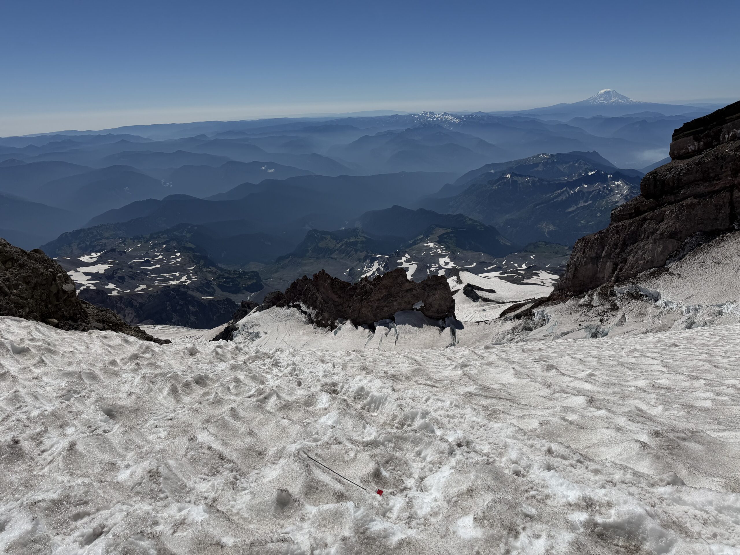
There were several parties taking a break before starting their descent, and I was surprised by how many remained roped together. The cleaver is almost entirely class 2, with a few class 3 sections, but the rock is extremely loose. A rope could easily knock rocks onto parties below, and watching the teams descend gave me a better appreciation for the dangers of being underneath them. That said, I had extensive experience on class 2 rock. Even in crampons, I descended the length of the cleaver quickly, passing at least six other parties in the process. I moved as quickly as possible through the Bowling Alley and Icebox, crossing the lower crevasse ladder and returning to Ingraham Flats. All told, I moved through the most dangerous section of the route in under 10 minutes on the descent.
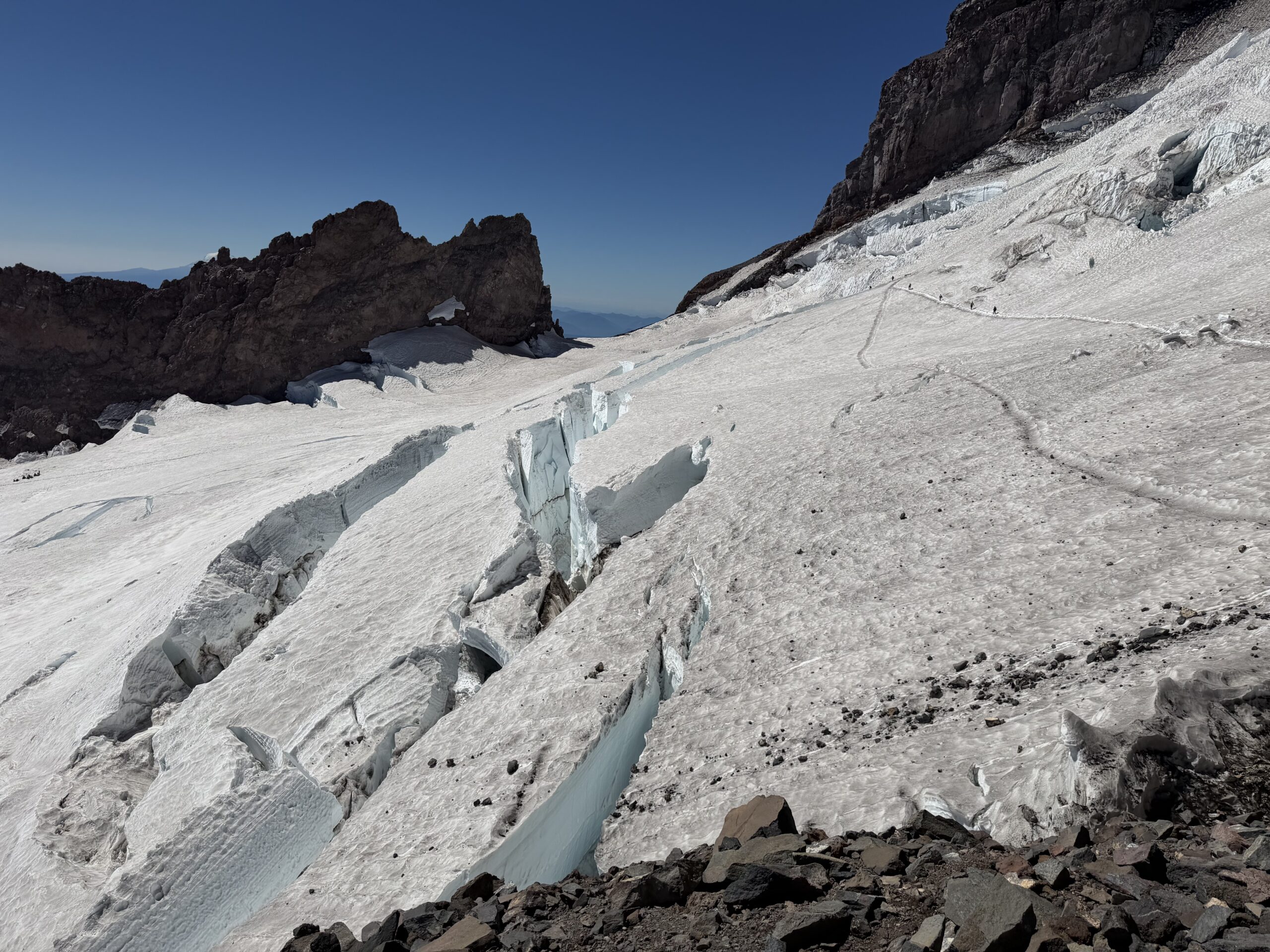
With the major crevasse hazards behind me, I picked up the pace down the softening snow. The descent became a game of seeing how many more parties I could pass on the way back to Camp Muir. Now in full daylight, the route through Cathedral Rocks and back across the Cowlitz Glacier was easy hiking. I reached Camp Muir just before noon, taking less than three hours from the summit.
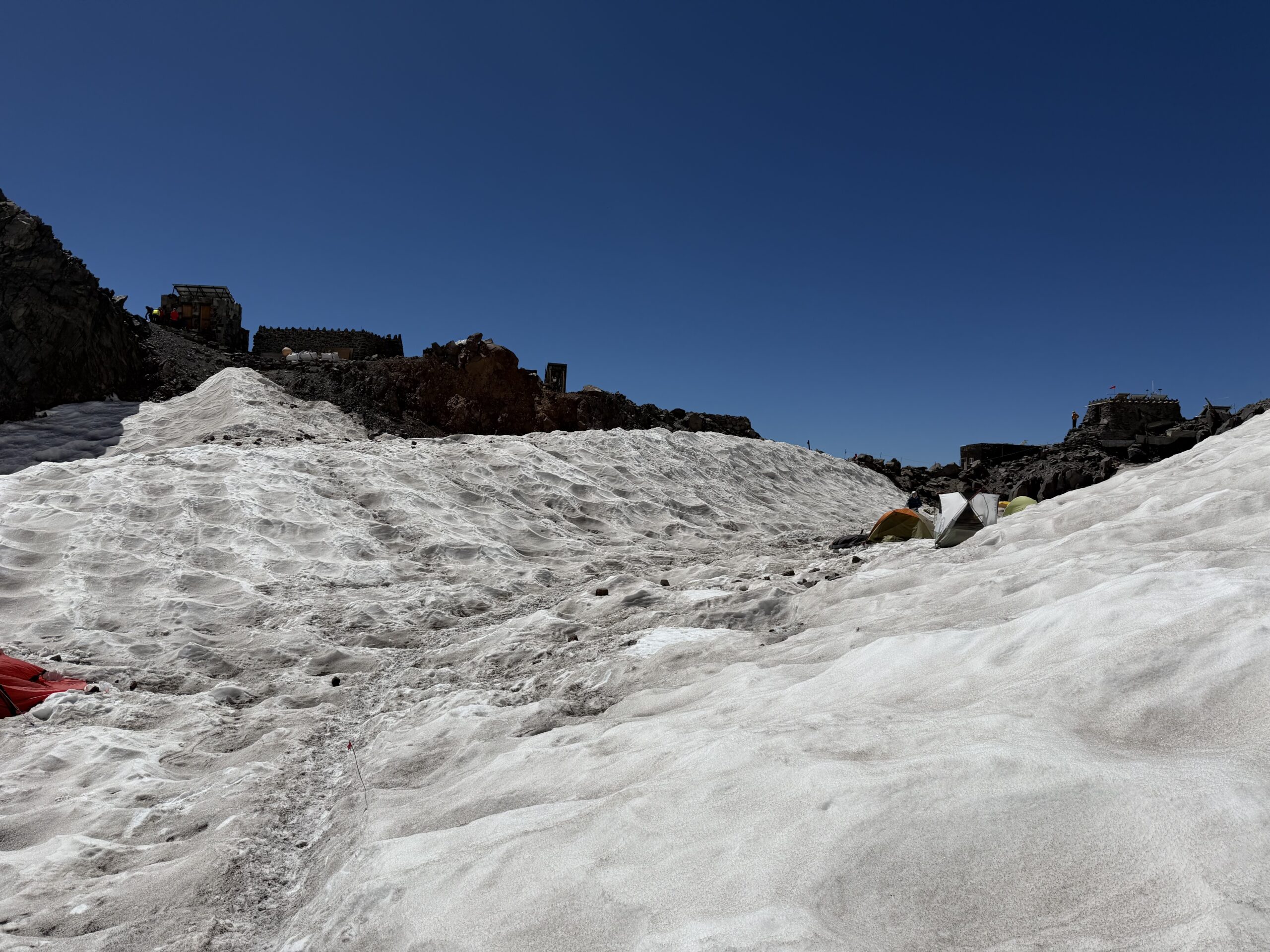
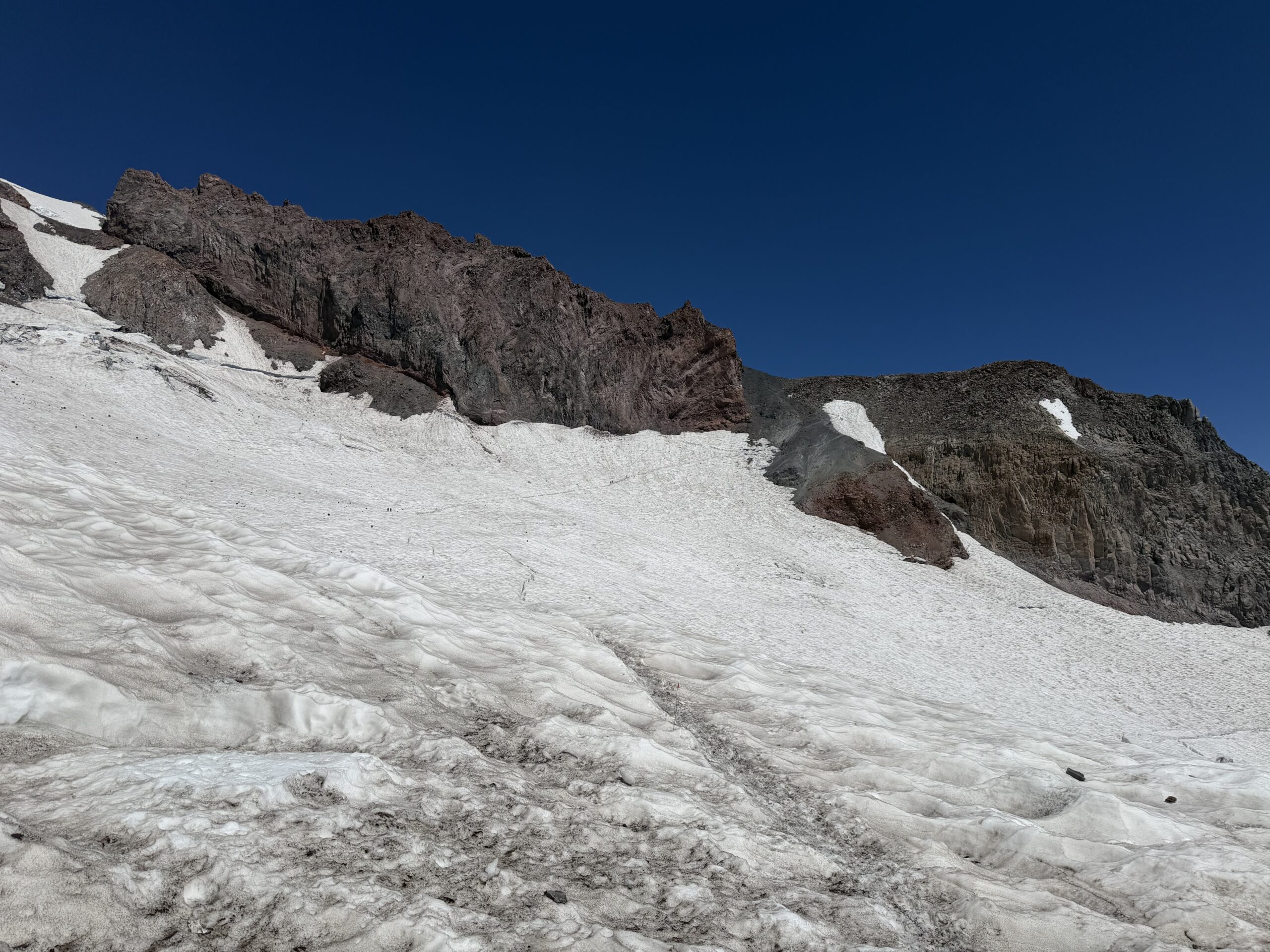
I took one final, longer break at Camp Muir, removing my crampons, helmet, harness and warmer layers before starting down the Muir Snowfield. The snow was now soft enough for outstanding boot skiing, and I plunged nearly 3,000′ down to Pebble Creek in under an hour. I did not envy the climbers with overnight packs laboring uphill through the soft snow toward Camp Muir that late in the day.
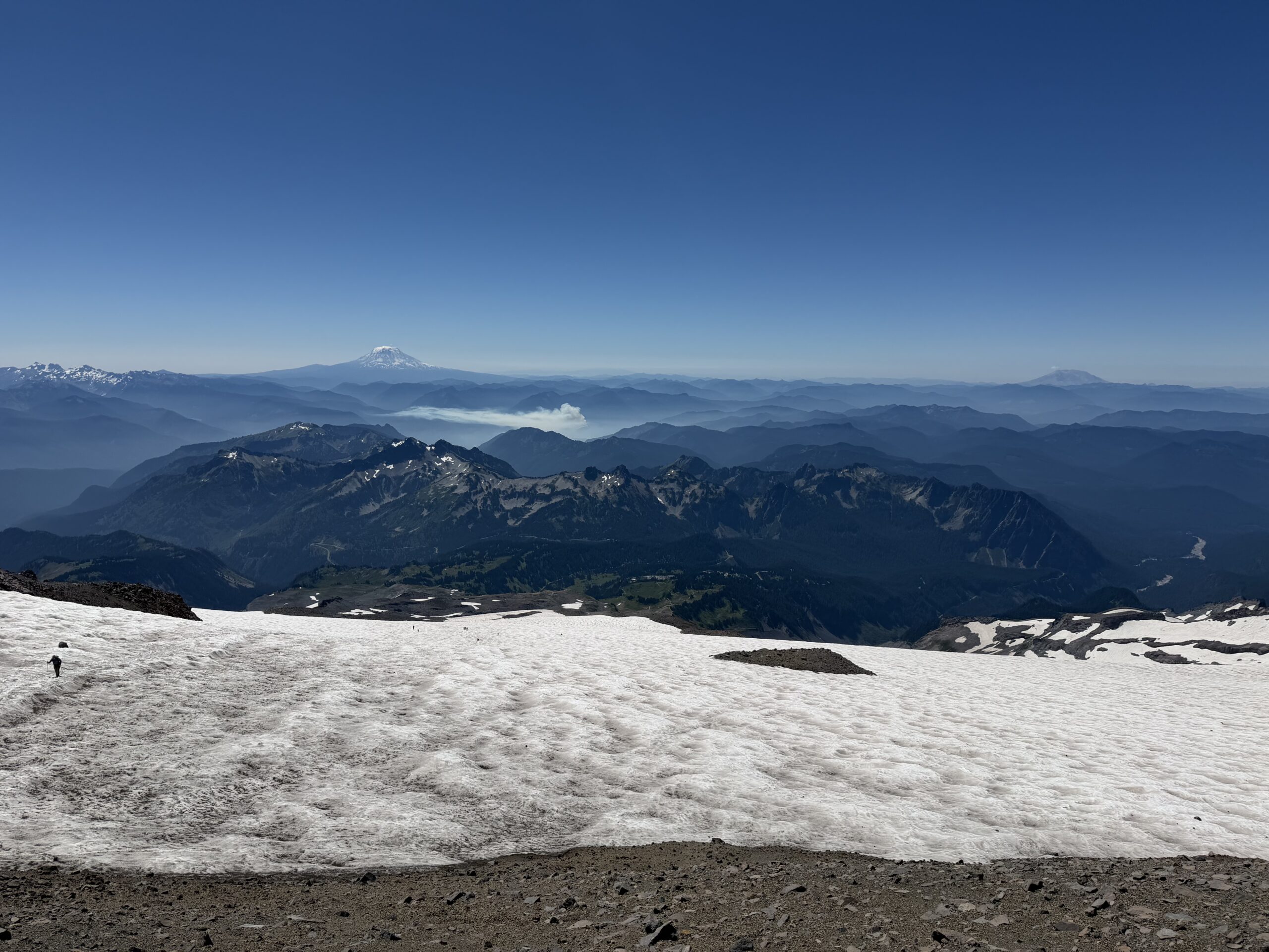
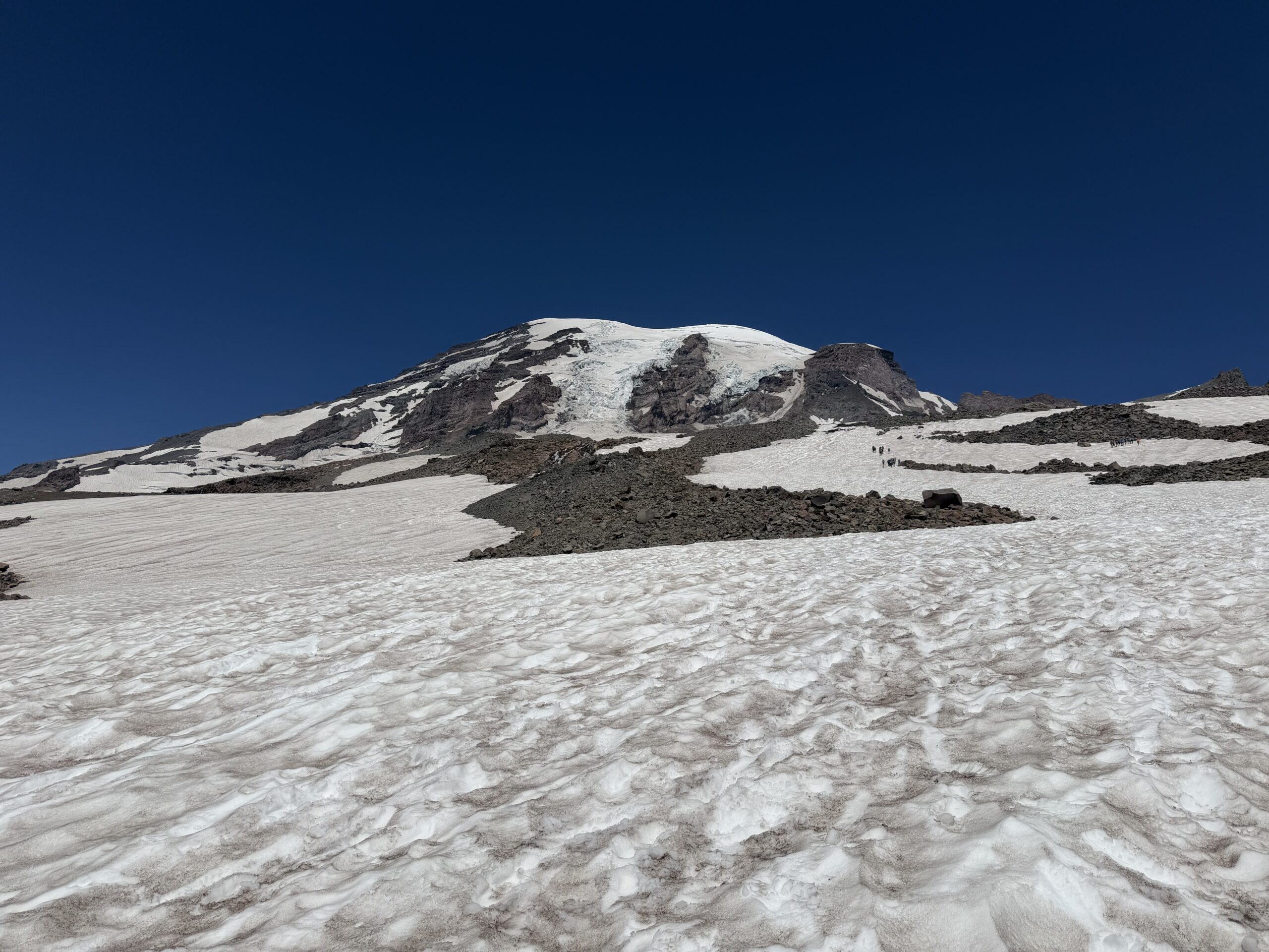
At Pebble Creek, I wasted some time looking for the trail runners I had stashed at the edge of the snowfield, then hastily stuffed my mountaineering boots and the rest of my gear into my pack for the final descent. Having made such good time, I decided to visit some of the viewpoints I had bypassed on the ascent in the dark. I stopped at Panorama Point, then Glacier Vista and finally Alta Vista. The popular trails were now completely overrun with tourists, a stark contrast to the empty paths I had experienced just hours earlier.
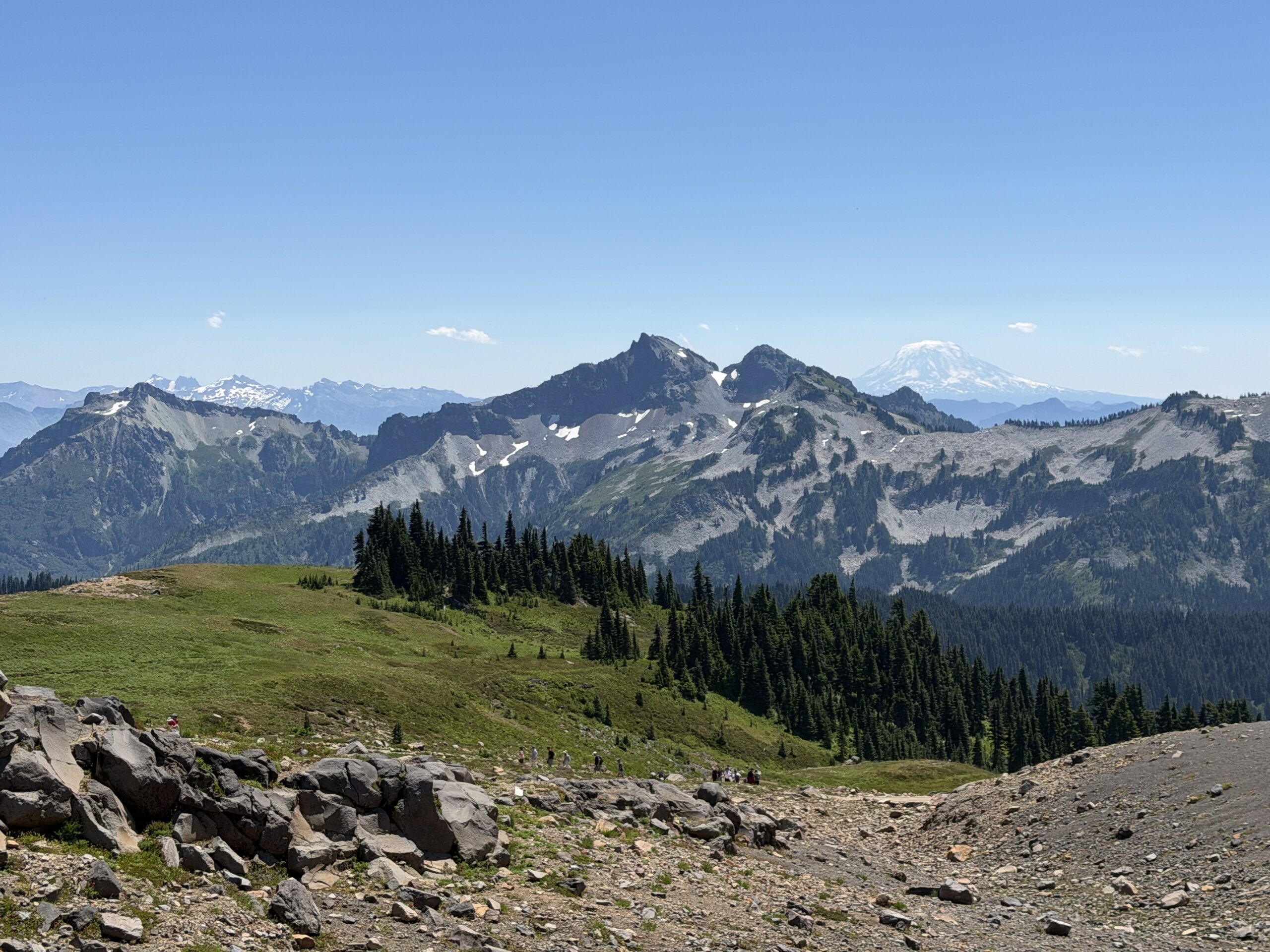
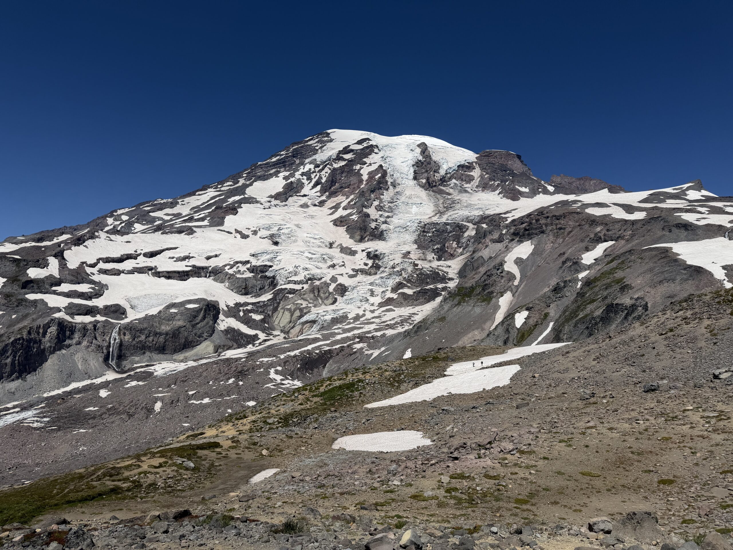
Shortly before 2 PM, I made it back to the Climbing Ranger Station. The entire single-day push had taken about 13 hours.
I popped into the visitor center for a celebratory beer and snack, then found a spot in the shade to check in with Holly and admire the mountain I had just climbed. After polishing off my drink, I headed out, grabbing dinner in Yakima before beginning the long drive to Bend, Oregon, where the last two volcanoes of the trip awaited.
Congratulations on such an amazing accomplishment. An adventure for sure.