
Seven Gables 13,076′ and Gemini 12,868′
Sierra Nevada
Total Time: 18:05
Distance: 37.0 miles (~5 miles on E-bike)
Elevation Gain: 8,700′
Crux: Class 3
Trailhead: Bear Creek Diversion Dam, no services


I wanted to squeeze in one more 30-plus-mile day in the Sierra before the first real snow forced me to trade alpine objectives for climbing in the Valley. After running through a number of options, I settled on a long dayhike of Seven Gables. Deep in the central Sierra, Seven Gables is one of 35 summits on the Sierra Club’s Mountaineers List, a collection of peaks known for their difficulty. Although the East Face has a number of high-quality climbing routes, I would be approaching from the west via the much easier northwest slopes, rated class 2-3.
From the Bear Diversion Trailhead, the route would be about 30 miles roundtrip. Unfortunately, my RAV4 wasn’t capable of making it down the rough road to the trailhead, adding another five miles to the day. But after successfully using my e-bike on a similar approach earlier this year, it felt doable. Regardless, I would need a very early start. I slept in my car at a pullout over Kaiser Pass, my alarm waking me from a few hours of sleep at 1 AM.
I finished the short drive to the road toward Bear Creek Diversion Dam, where several other cars that couldn’t make the drive were parked. I started off on my bike in total darkness at 1:50 AM, navigating around large rocks and deep ruts that my car would have had no chance of clearing. I made good time, covering the 2.5 miles to the trailhead in under 30 minutes. Unfortunately, finding the actual trailhead proved more difficult.
I initially followed the road toward the dam, but found no trail along the shore where I expected it. I biked back up to a large clearing and wandered around in the darkness, eventually giving up and heading into the forest, assuming I’d find the trail eventually. There was a use trail, likely created by other hikers who had made the same mistake, and I eventually intersected the actual trail beyond the inlet of the reservoir. Once I was on the right track, I was able to pick up the pace considerably.
I pressed on for several hours in darkness, passing the junctions for the Bear Creek Cutoff, the PCT, and the trail to Lake Italy. I was surprised when I reached the Bear Creek crossing still in darkness, already 13 miles into my day. This late in the season, the crossing was nothing more than a simple rock hop, and I took a short break on the far side, my first of the day after several hours of hiking.
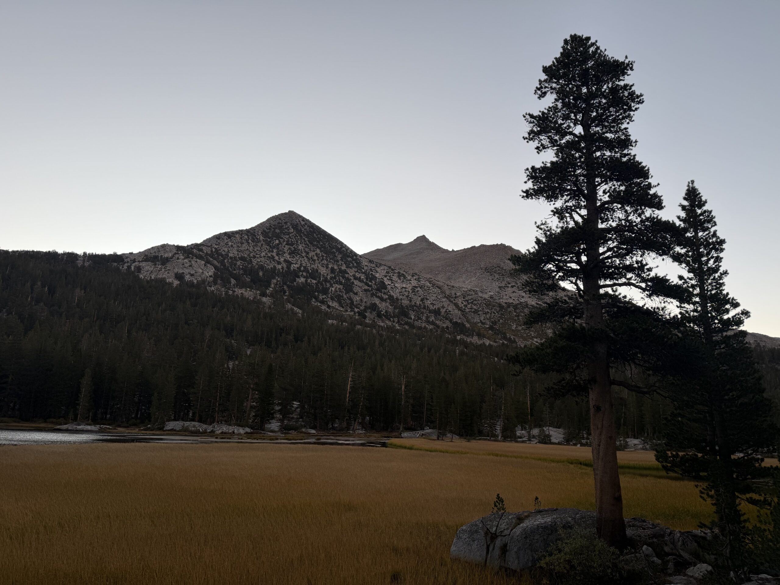
The trail steepened as it climbed toward Seldon Pass, and I found the junction for Lou Beverly and Sandpiper Lake just as the sun began to rise behind Seven Gables to the east. It was just before 7 AM when I reached Sandpiper Lake, and I stopped to refill my water.
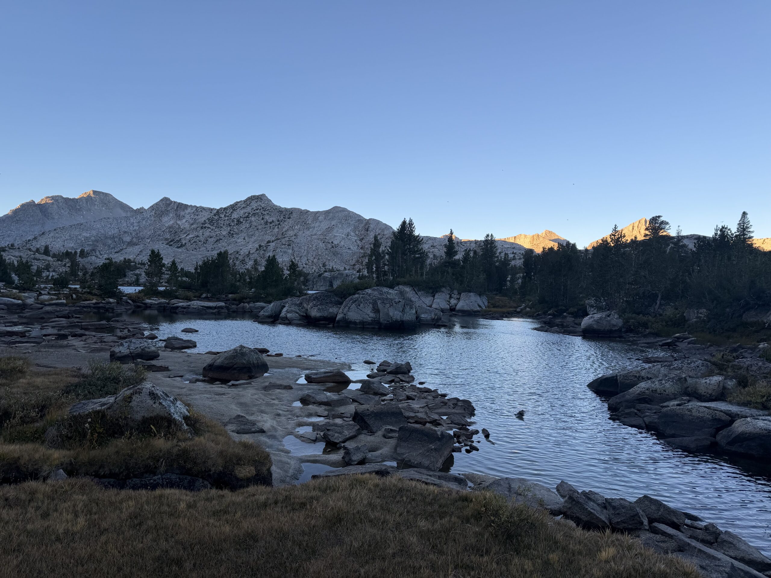
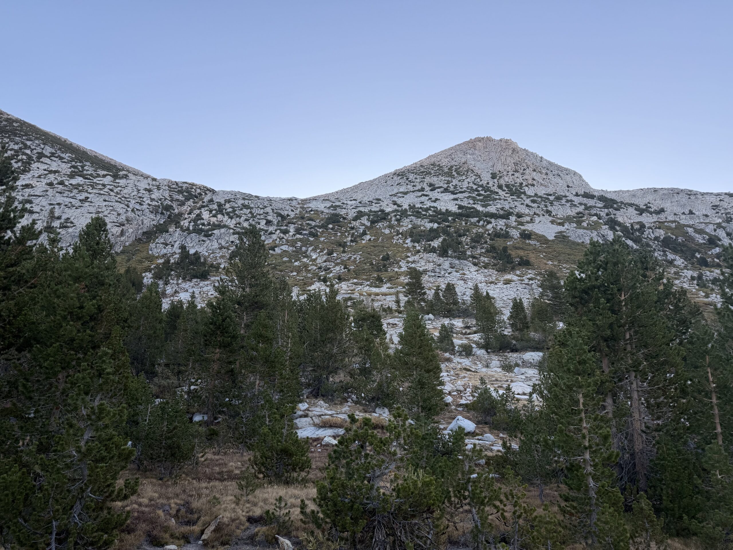
I was feeling strong after the fast approach and hoped I might have enough energy to traverse over to Gemini. I was less certain about water sources once I climbed higher, so I filtered 2.5 liters from the lake. The water was ice cold, and I needed to put on my fleece, jacket, and gloves just to keep warm in the cold September morning air. Then I started up the class 2 slopes above Sandpiper Lake, with the summit still hidden above me.
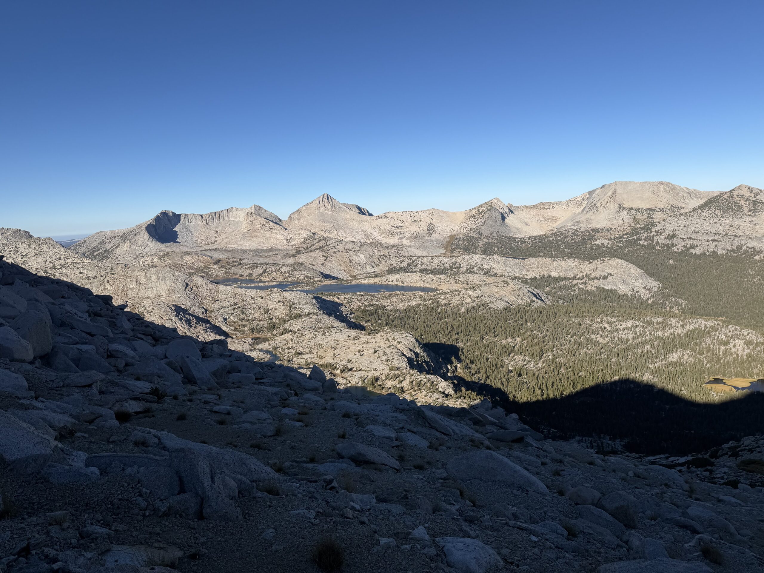
The lower slopes were known to be a bit brushy, but I aimed for pockets of granite slabs and scree, avoiding most of it. I initially followed the west ridge of Seven Gables, but unsure of what the difficulty would bring higher up, dropped onto the lower-angled slopes to the north. The summit looked surprisingly close, and the cross-country travel was better than expected, mostly solid talus and easy boulder hopping.
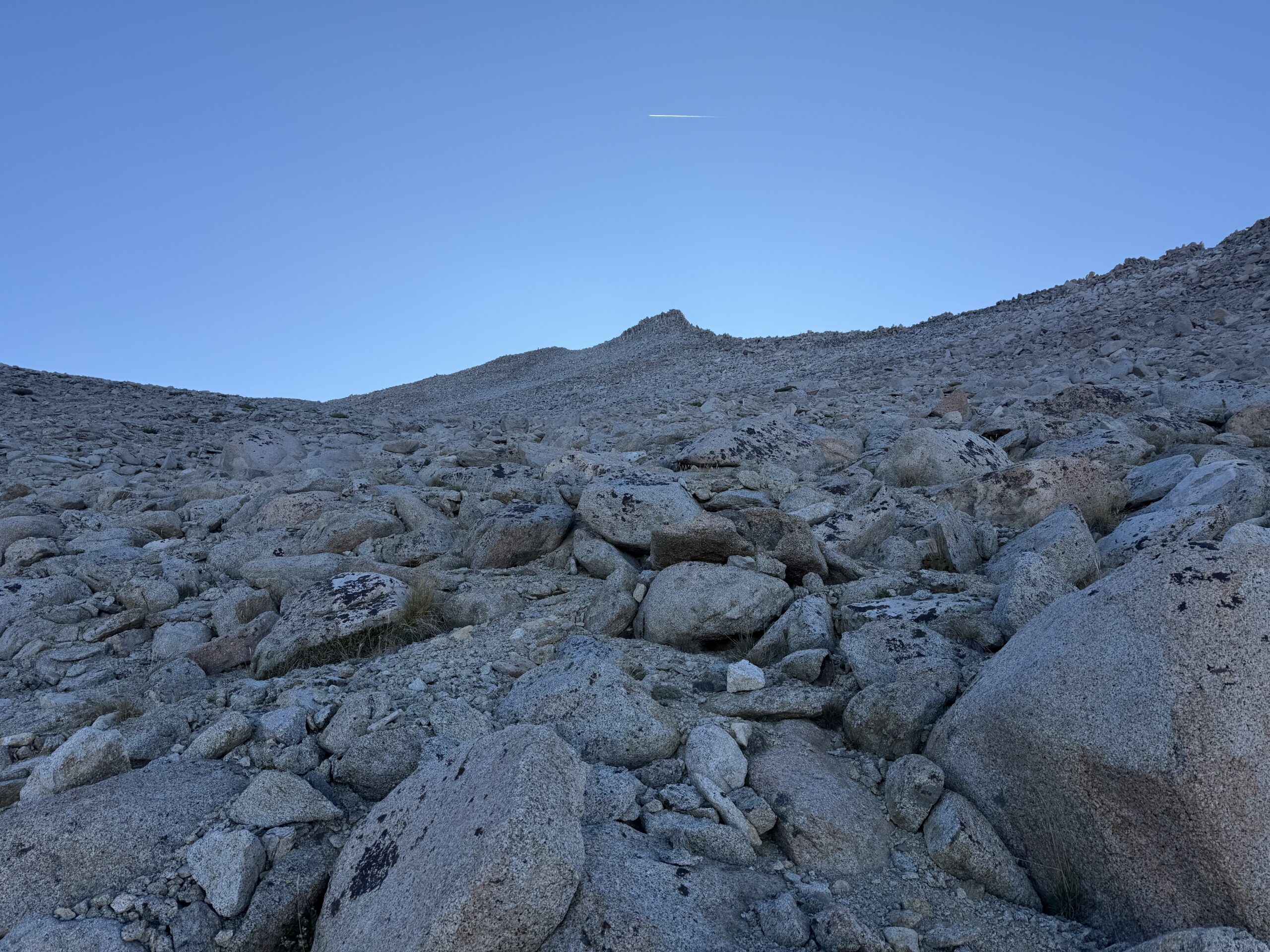
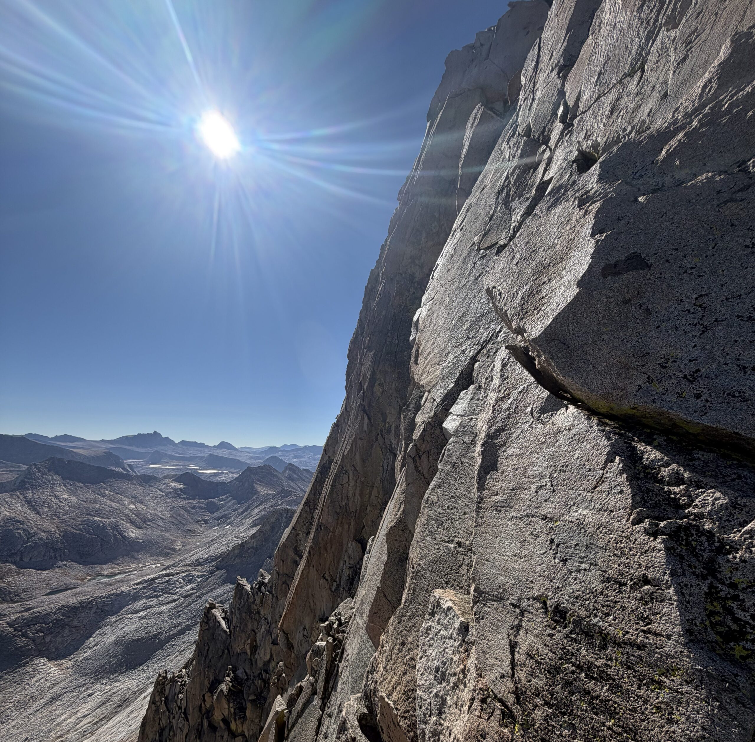
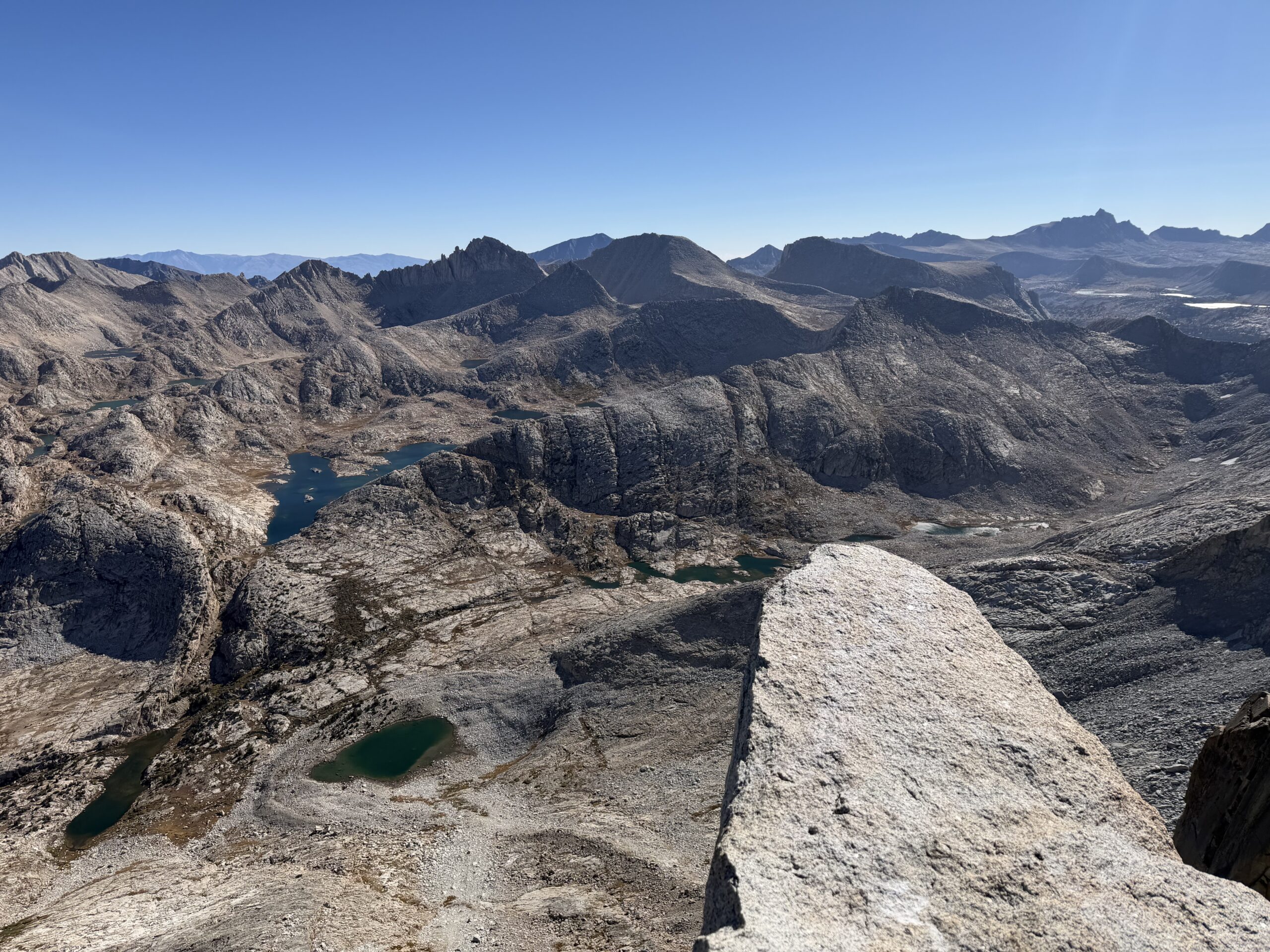
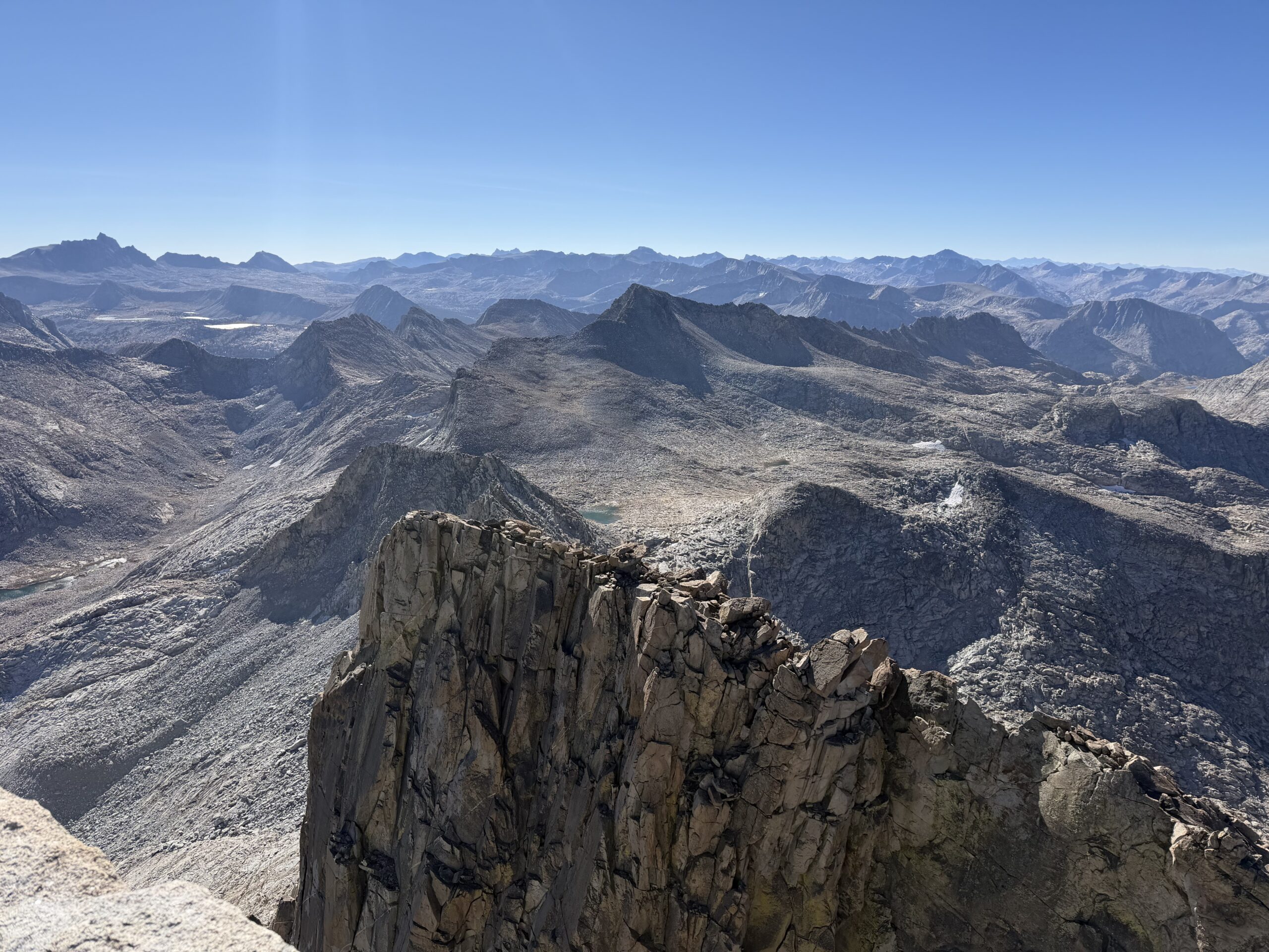
The slope steepened considerably for the final 500 feet, with a short section of class 3 guarding the high point. At 9:40 AM, I reached the summit, having covered the first 17 miles in under eight hours. The summit was a prow of rock extending out over the East Face, and I looked down at the impressive technical lines far below. To the east were the summits above the Rock Creek drainage, with my traverse of Hilgard, Gabb, and Dade from earlier in the season in the foreground, along with Mount Abbot, Mills, and Bear Creek Spire from older adventures. Beyond them was the Bishop Skyline, including Mount Tom, Four Gables, Basin Mountain, Mount Humphreys, and Mount Emerson. Farther south, I could see the Palisades along with the Evolution and Goddard groups.
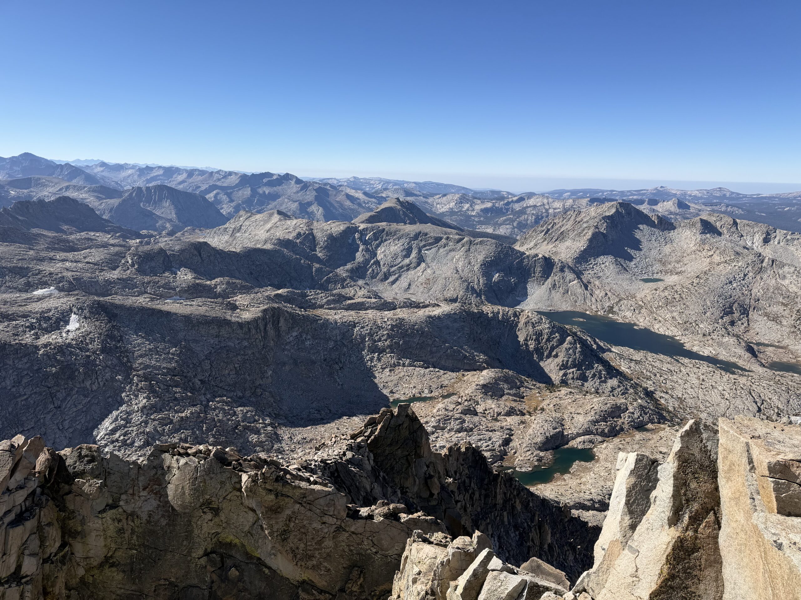
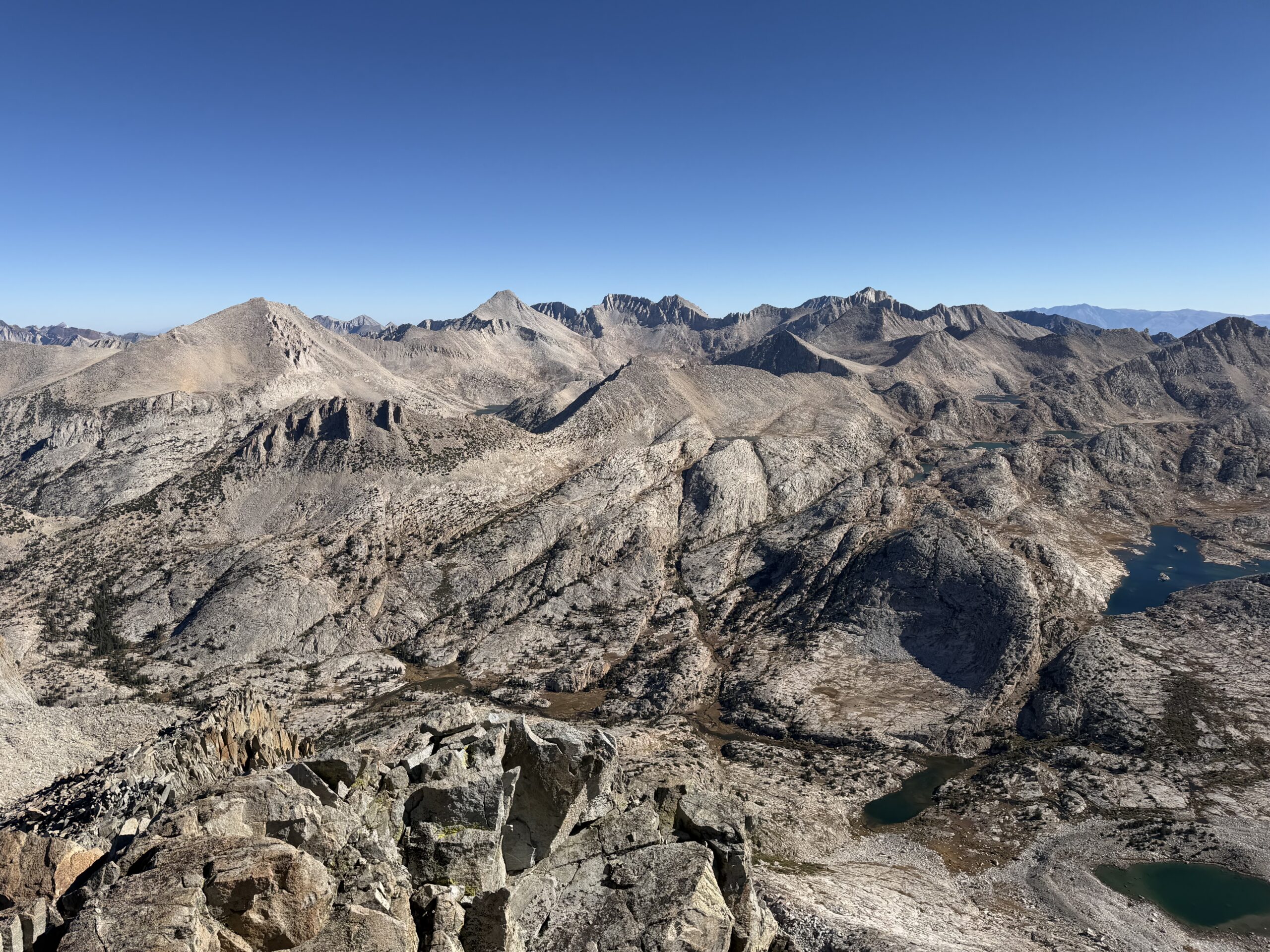
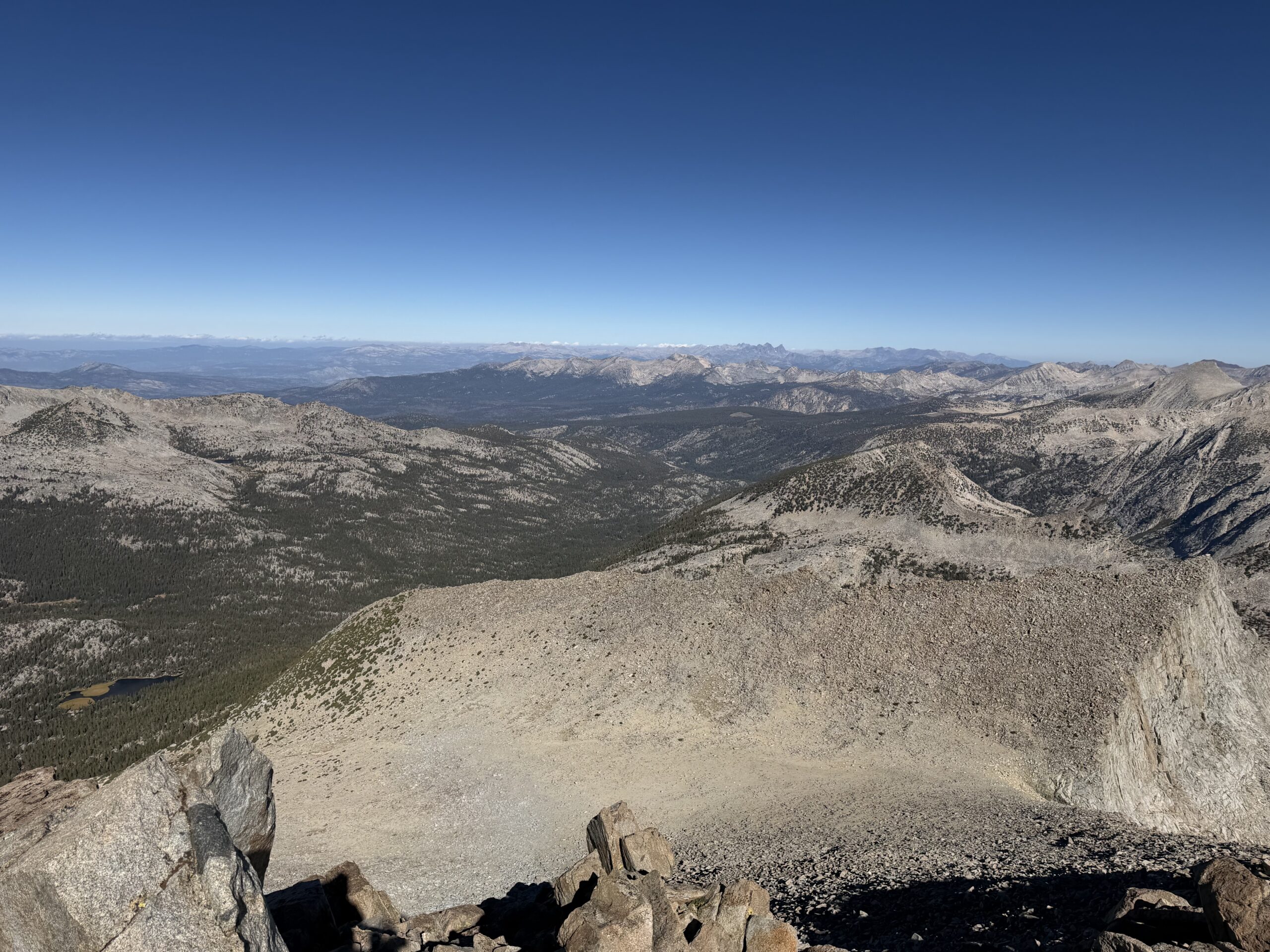
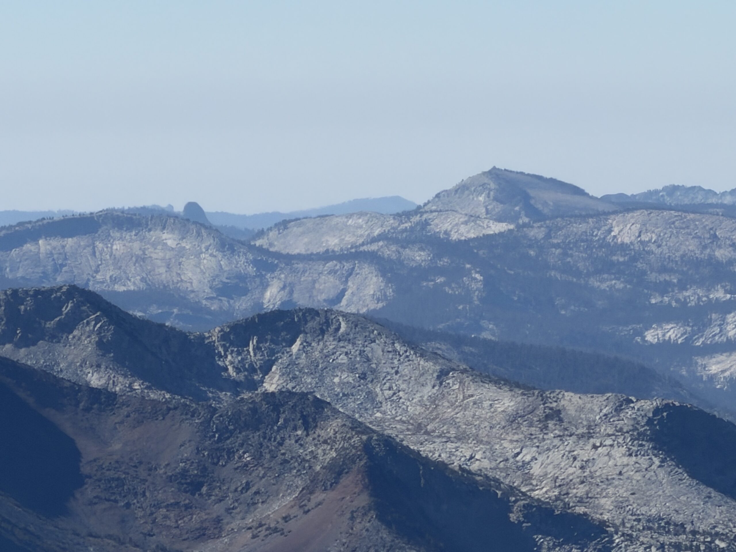
I had brought a sub for lunch and ate the first half while eyeing Gemini to the south. It was still before 10 AM, and Gemini was only about 1.5 miles away. It felt a little silly not to at least attempt it. The addition would mean another 2-3 miles and roughly 1,000 feet of gain, but I was feeling good and had plenty of daylight.
I had meant to check Secor the day before about the traverse between the two summits, as the south ridge of Seven Gables looked technical. Now I’d have to figure it out on my own.
I descended the class 2-3 west ridge initially, eventually finding a weakness where I could drop down a chute toward the south. From above, it looked like I might be able to boot-ski some sand and scree lower down, but much of the loose material was resting on slabs, making the descent slow and tedious.
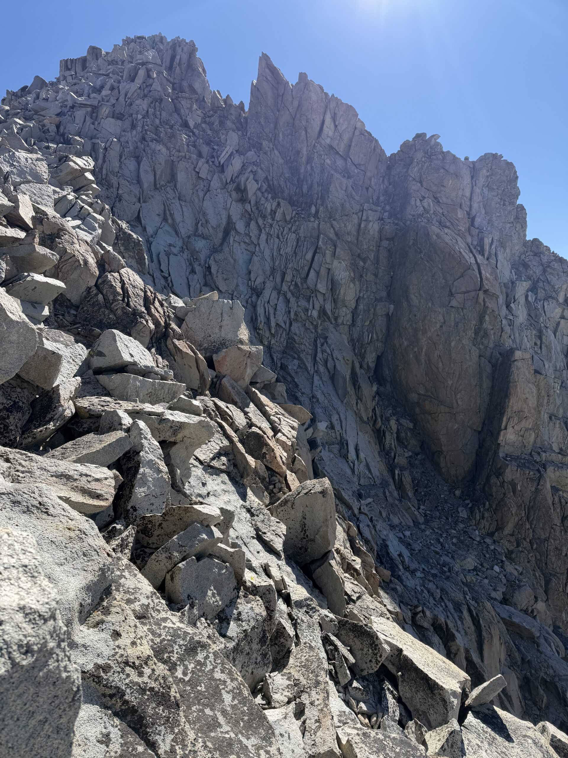
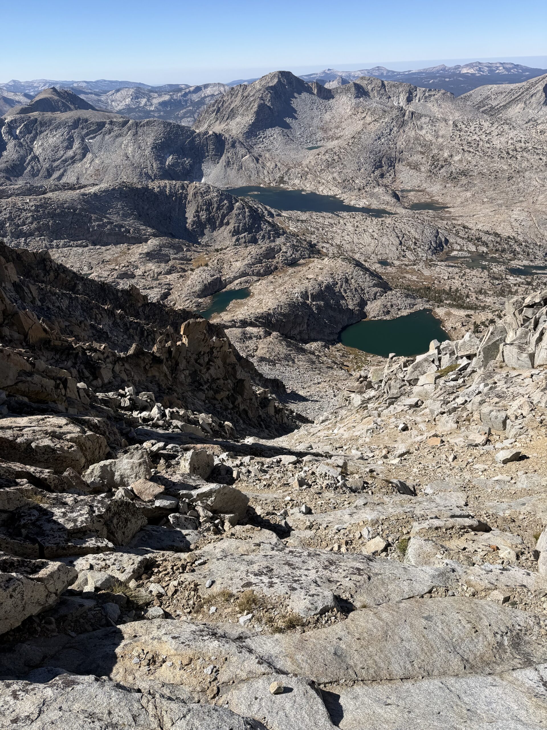
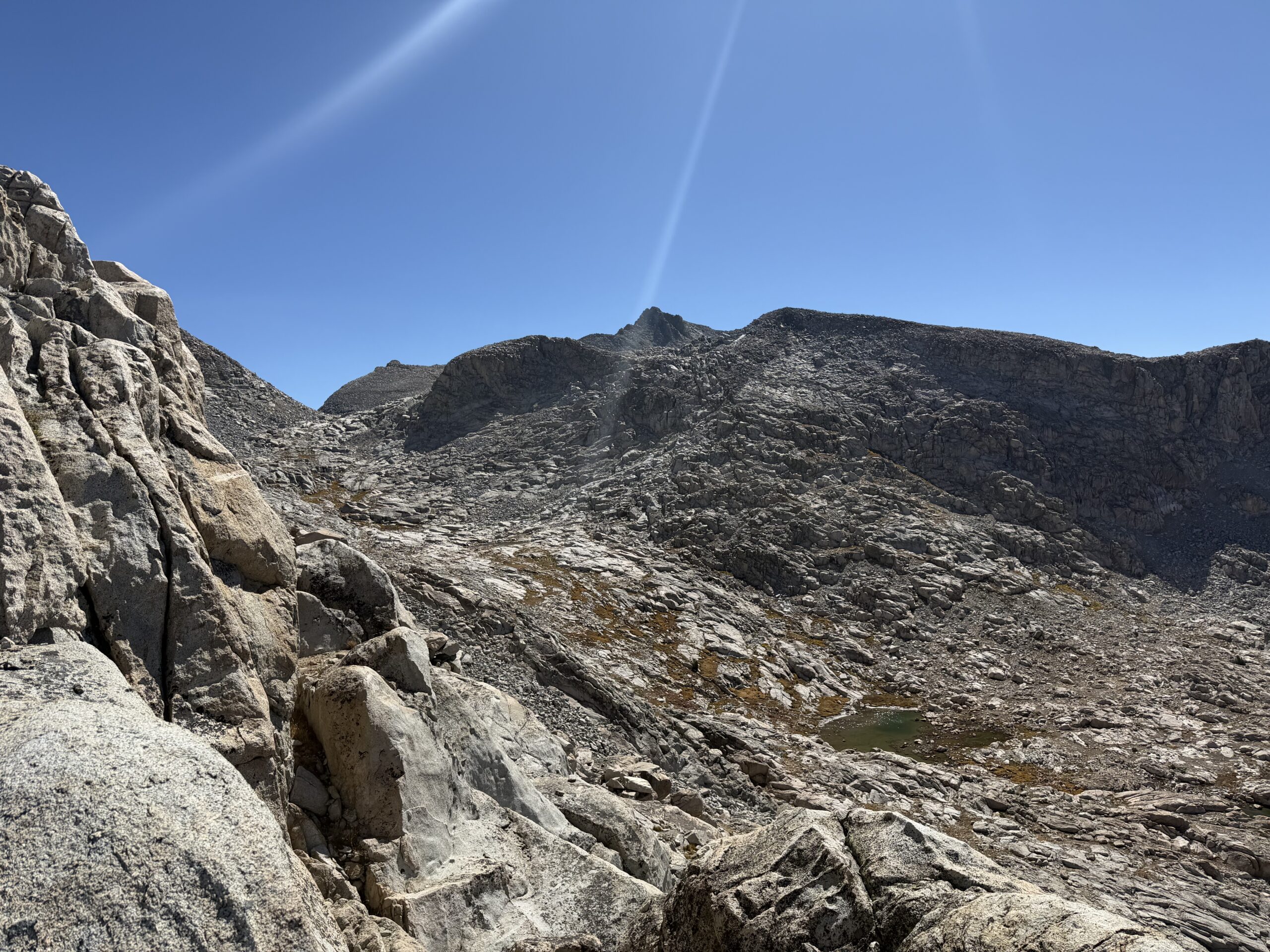
Near the bottom of the chute, I had to traverse skier’s left around several ribs of rock, trying not to lose any unnecessary elevation. This created a lot of extra ups and downs as I worked across ramps and down short cliff bands. In hindsight, it probably would have been faster to drop all the way to the lakes below, where the cross-country travel looked easy, but I stubbornly tried to stay around the 11,800-foot contour. Eventually I intersected the drainage just below two small unnamed lakes near a shallow notch. The lakes held plenty of water even this late in the season, although I still had more than a liter left for the ascent of Gemini.
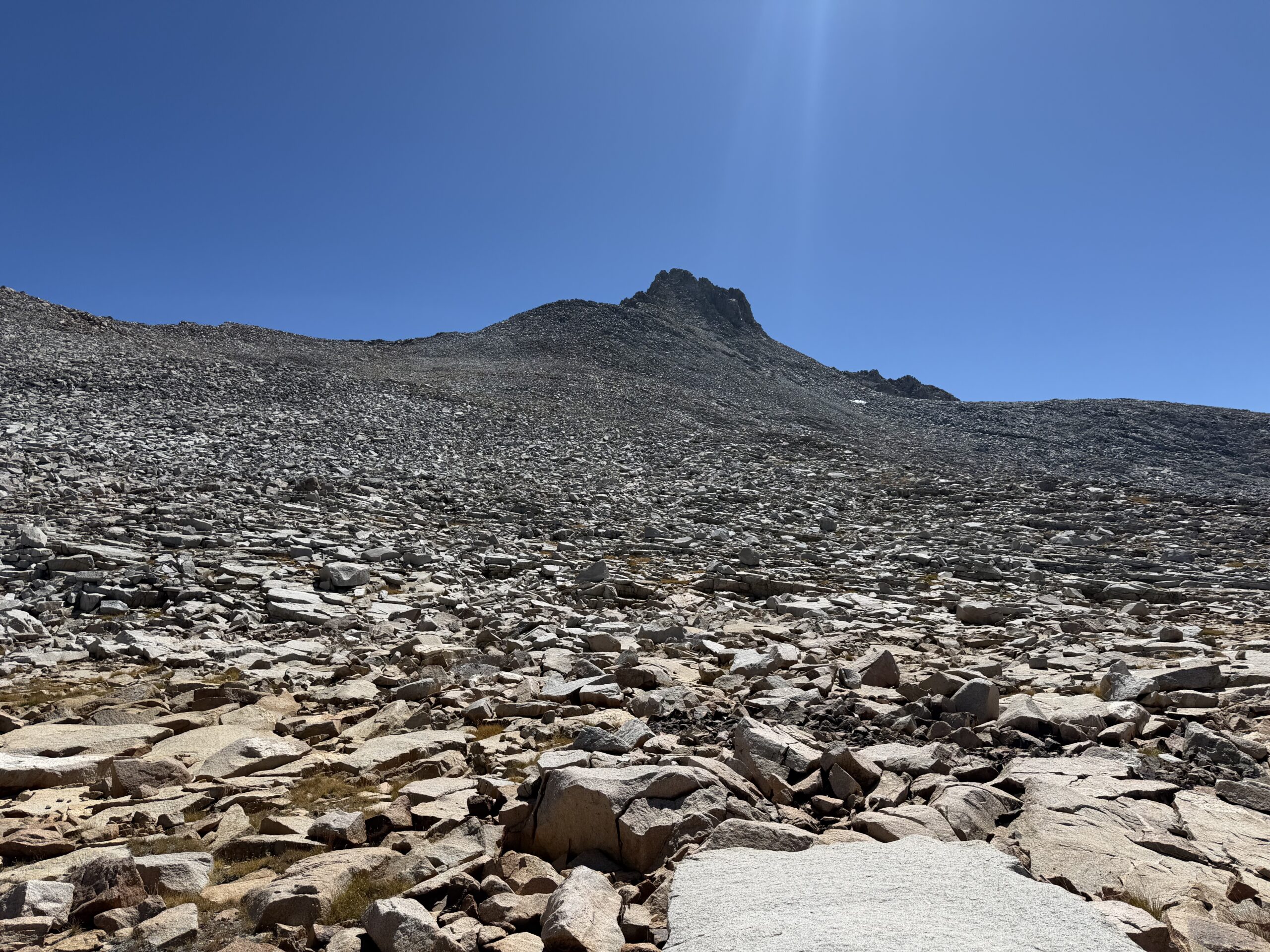
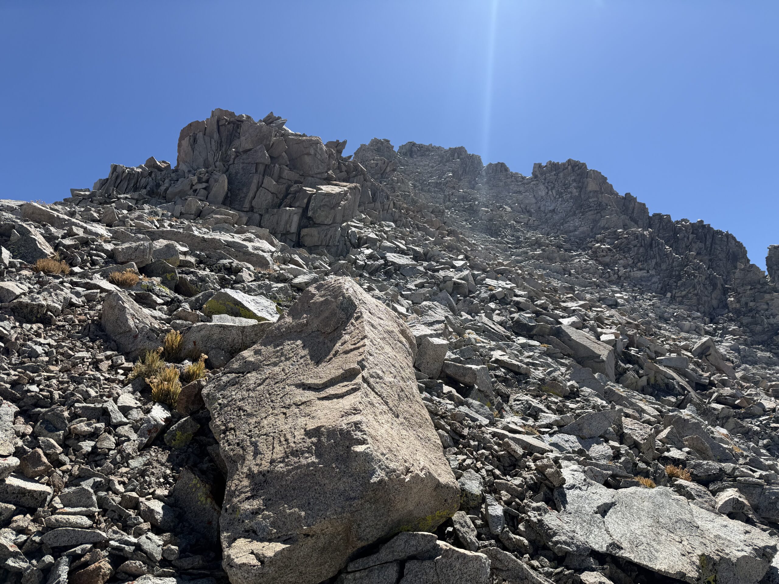
From there, the northwest slopes were similar to Seven Gables: solid talus and straightforward boulder hopping. I made steady progress and reached the summit at about 12:45 PM, with the traverse having taken roughly 2.5 hours. The views were similar to those from Seven Gables, but now I had an impressive perspective back toward the mountain itself, including its dramatic East Face. I finished the second half of my sub while looking toward Gemini’s nearby south summit.
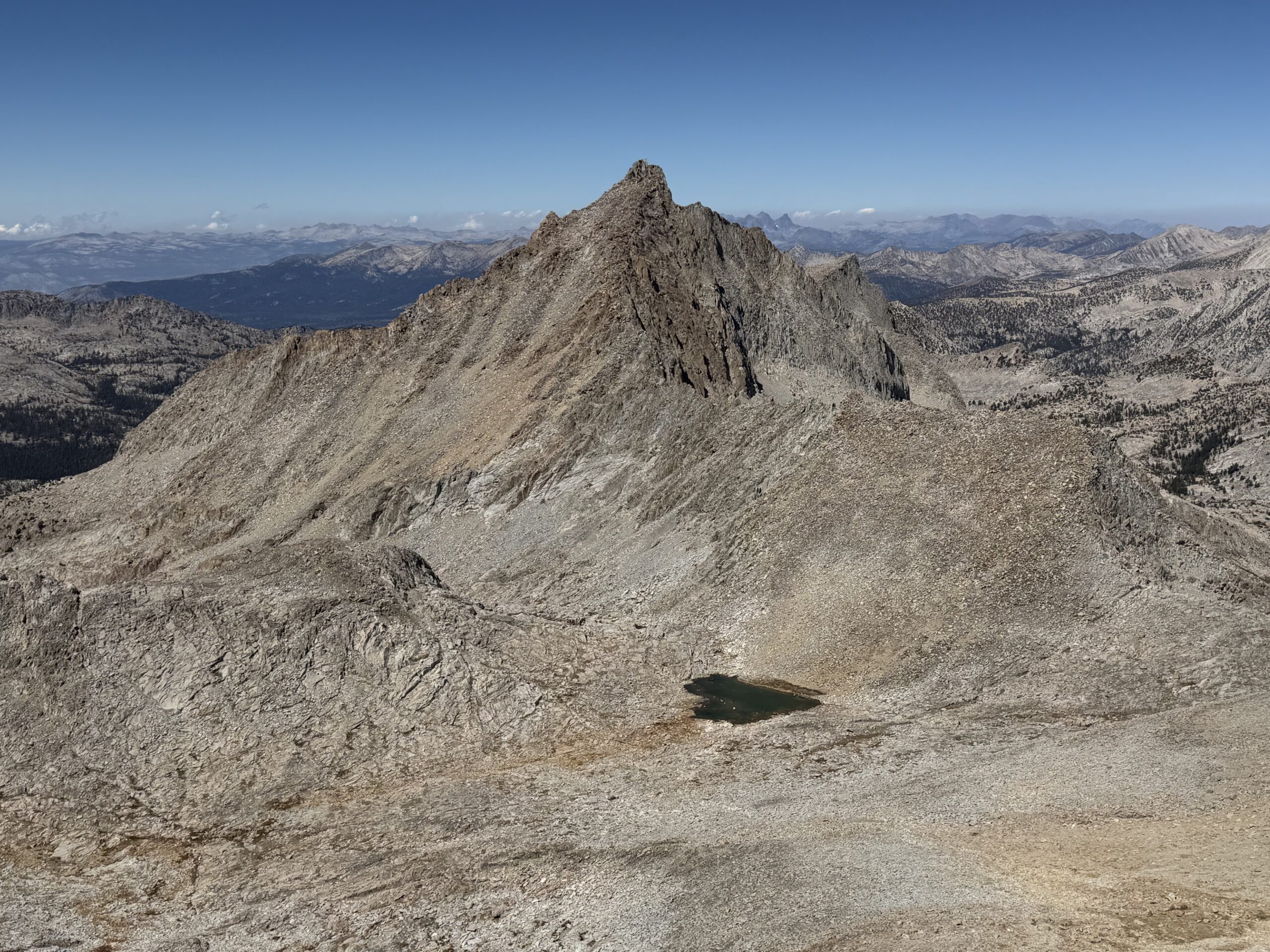
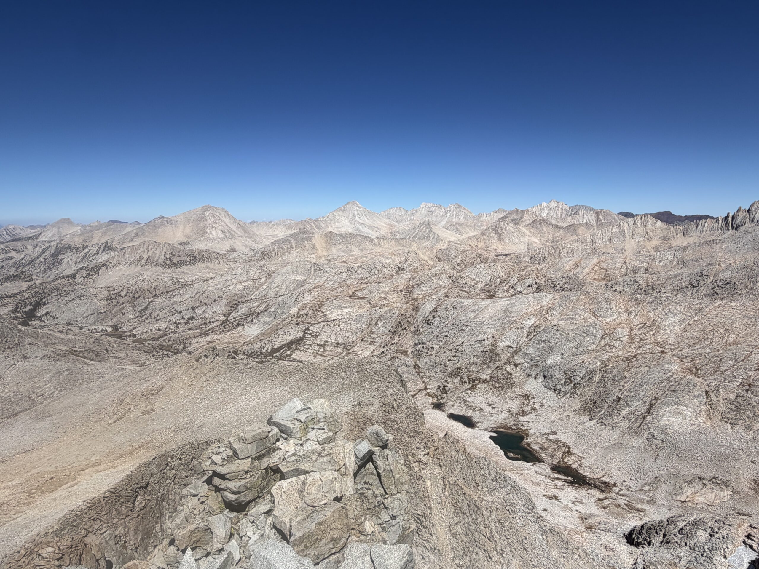
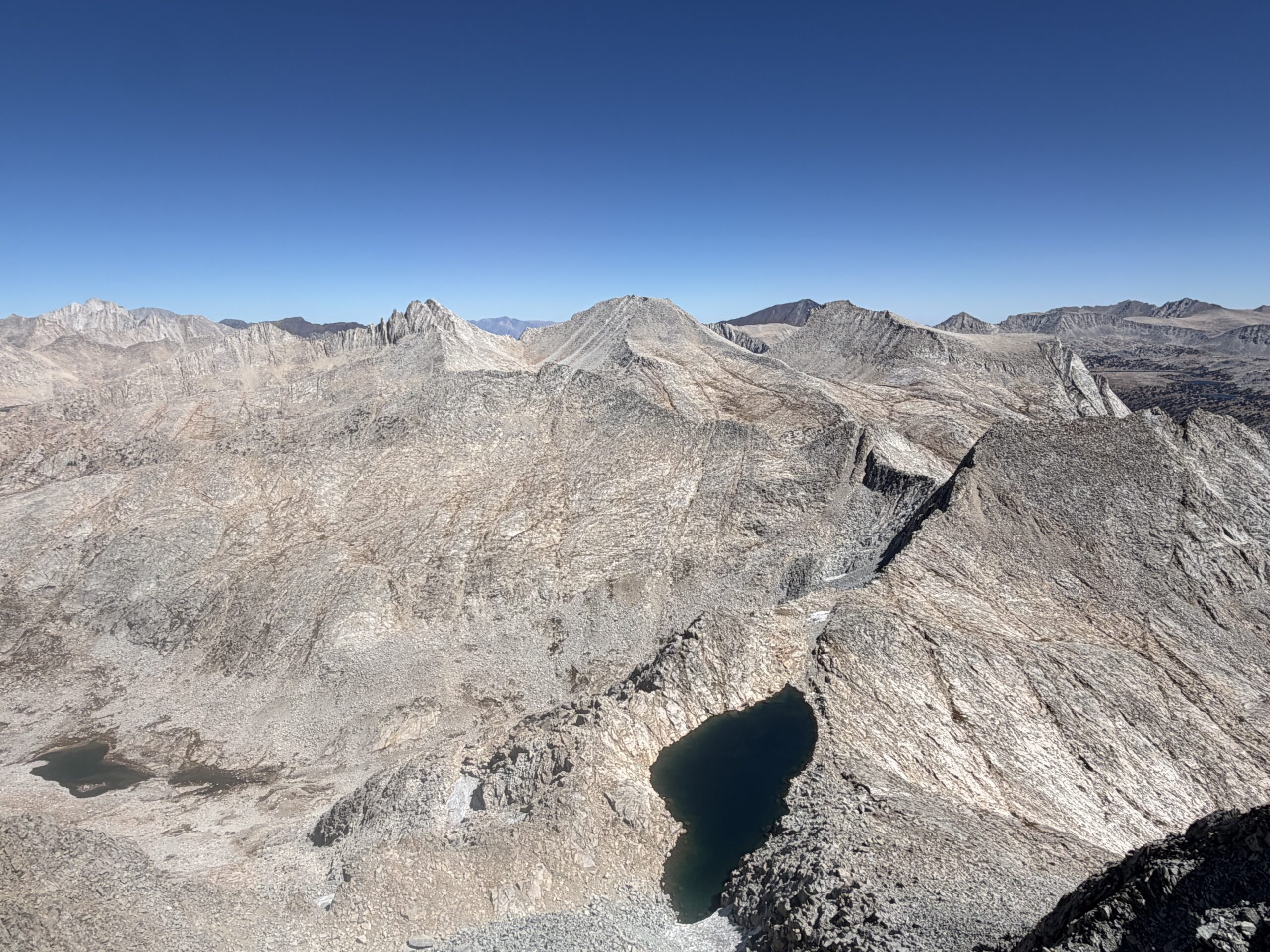
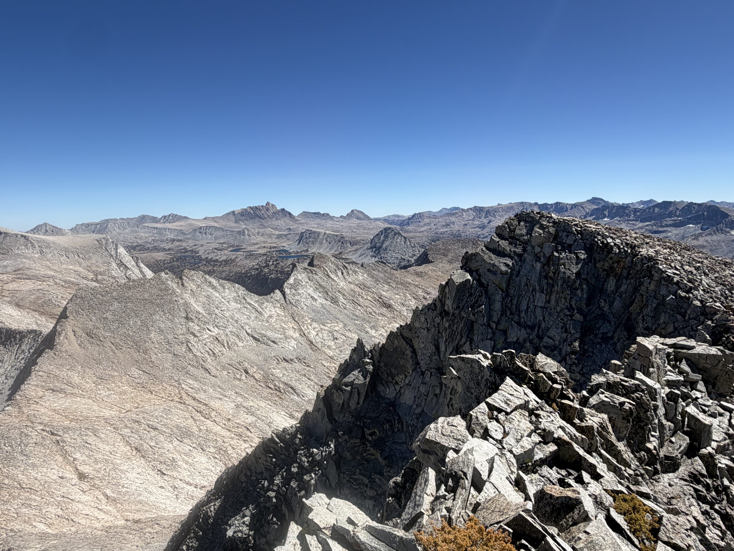
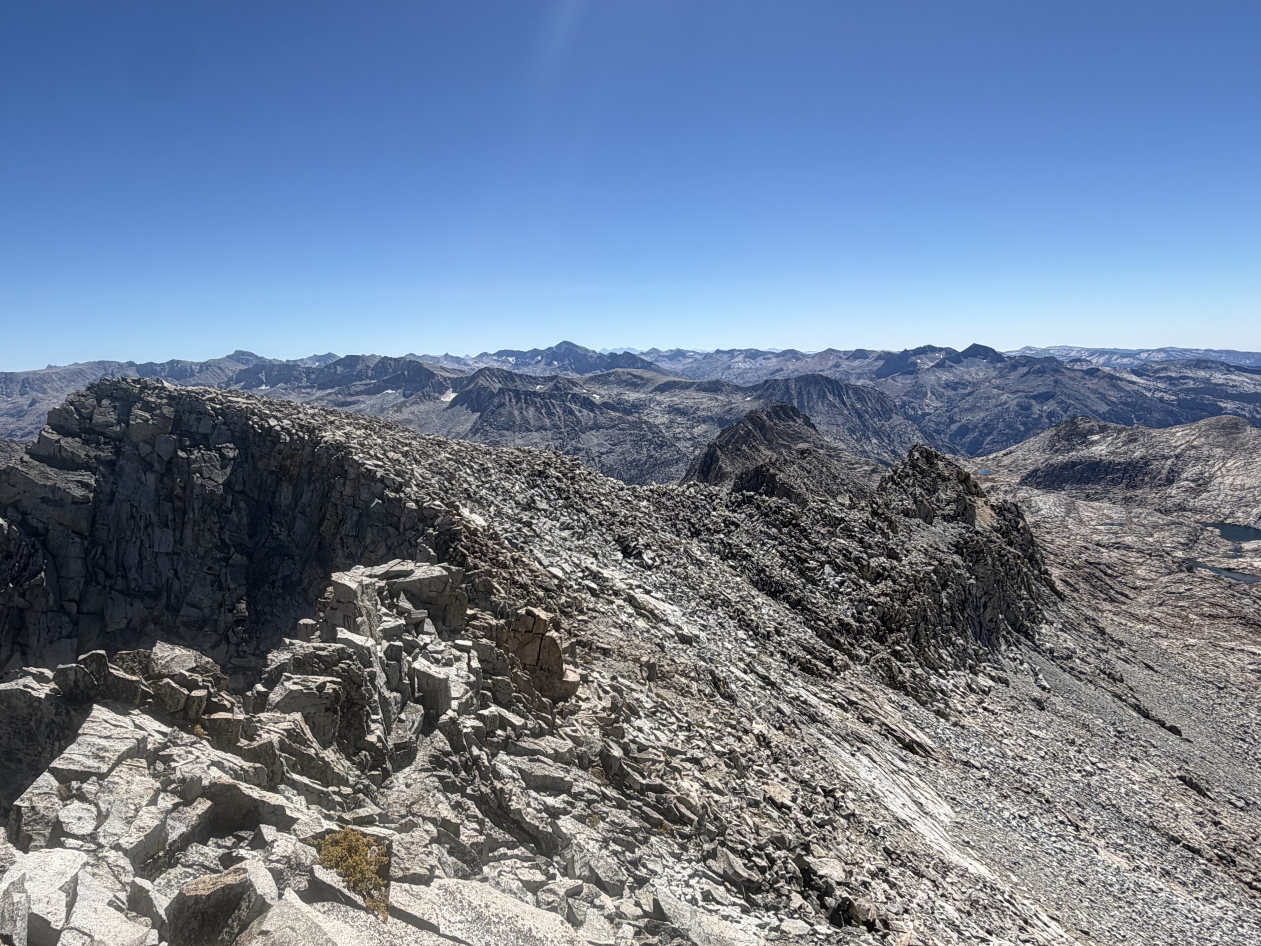
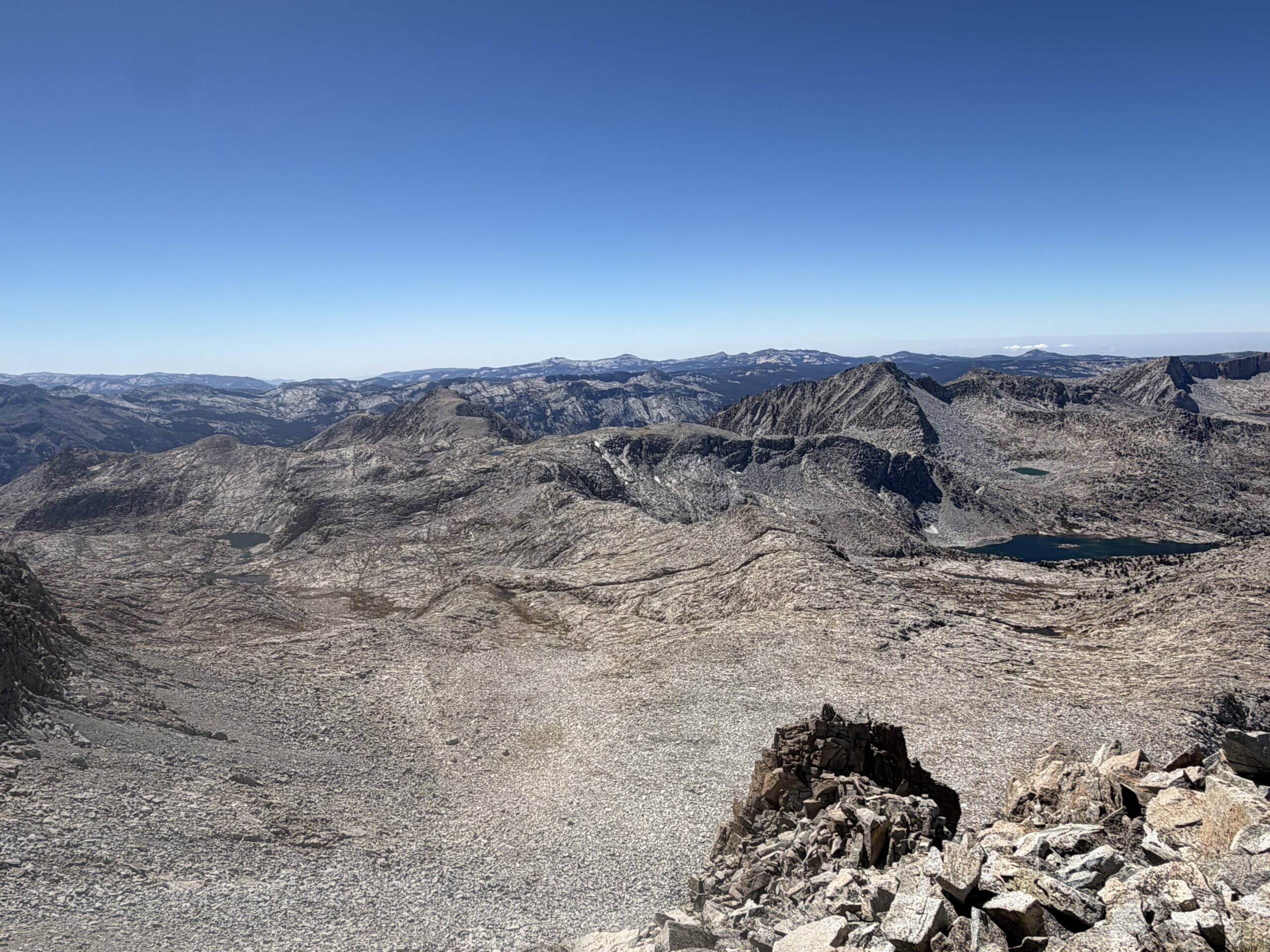
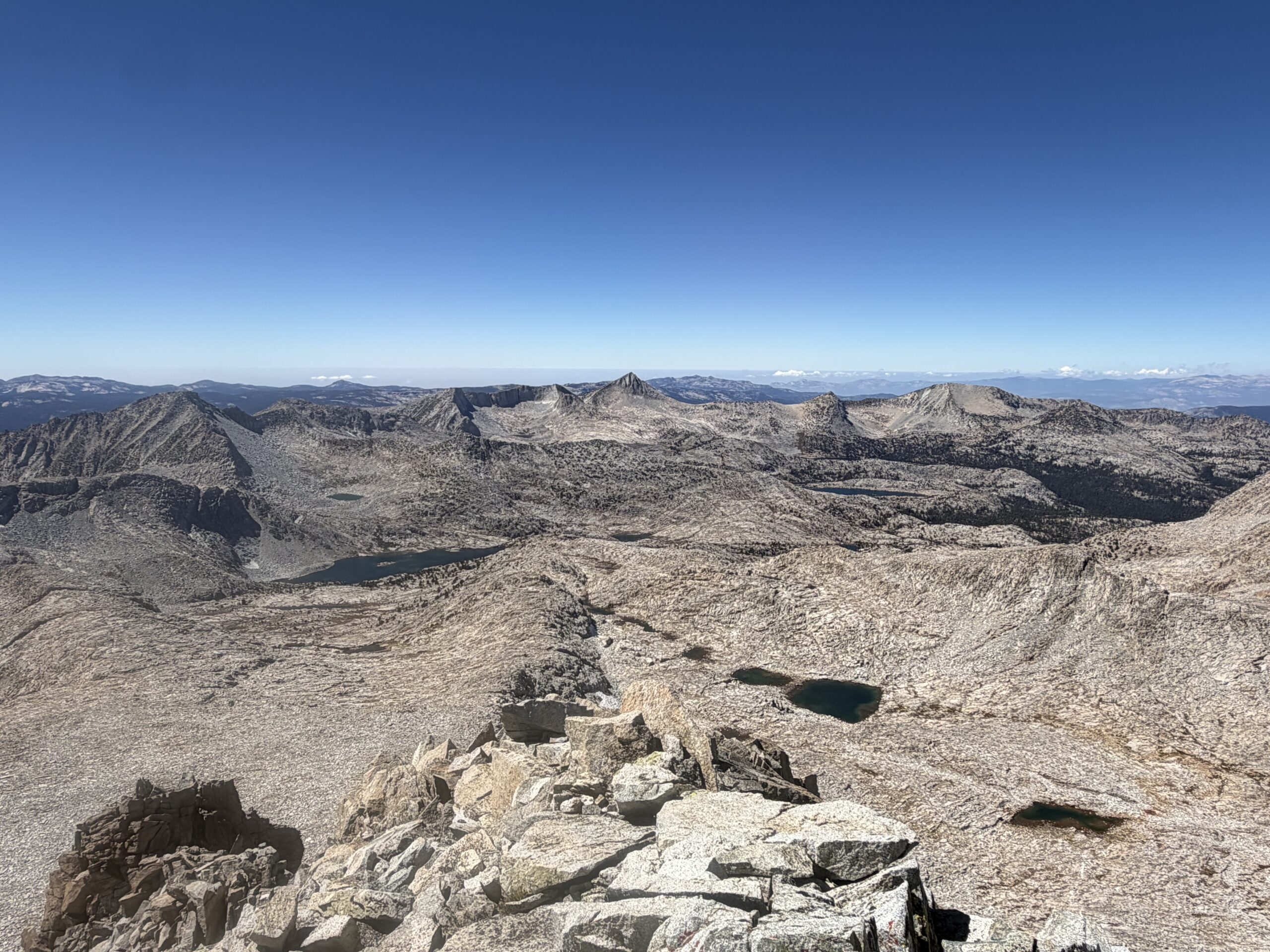
Although Secor and the summit register identified the north summit as higher, recent LiDAR data on Peakbagger suggested the southern summit might actually be the high point. Not wanting to leave any ambiguity, I traversed south after finishing my lunch, taking about five minutes to cover the distance between the two summits. Looking back at the north summit, it was still hard to tell which was actually higher. But satisfied that I had tagged the high point either way—and appeased the peakbagging gods—I began the very long descent back toward the trailhead.
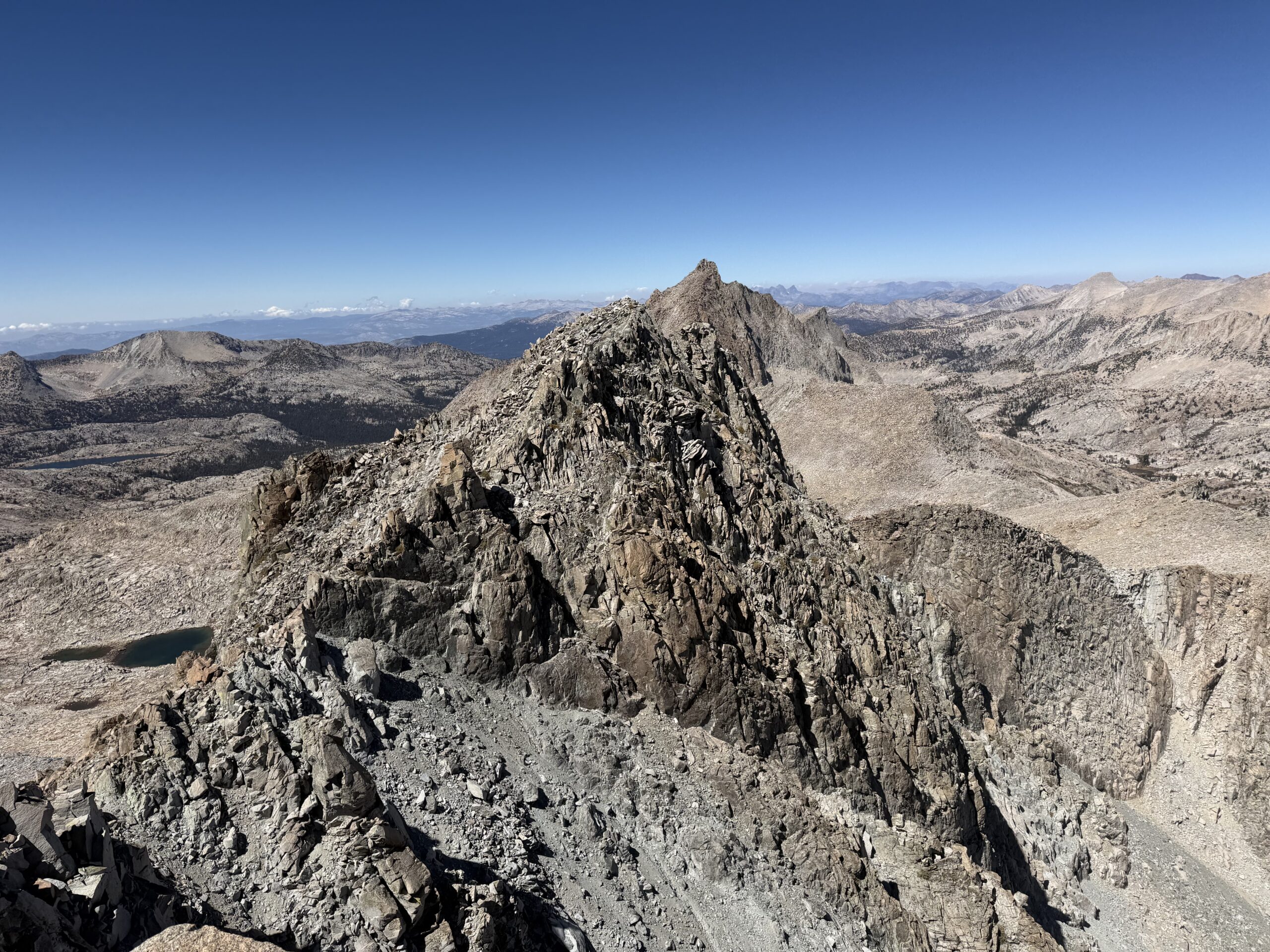
I dropped off the south summit to the talus basin below, and regained the notch near the two small unnamed lakes. From there, I descended the drainage directly, passing a series of increasingly larger lakes. At the third and largest lake, I climbed over a hump of granite to the north, dropping down a series of ramps and slabs to a lake tucked into a basin southwest of Seven Gables.
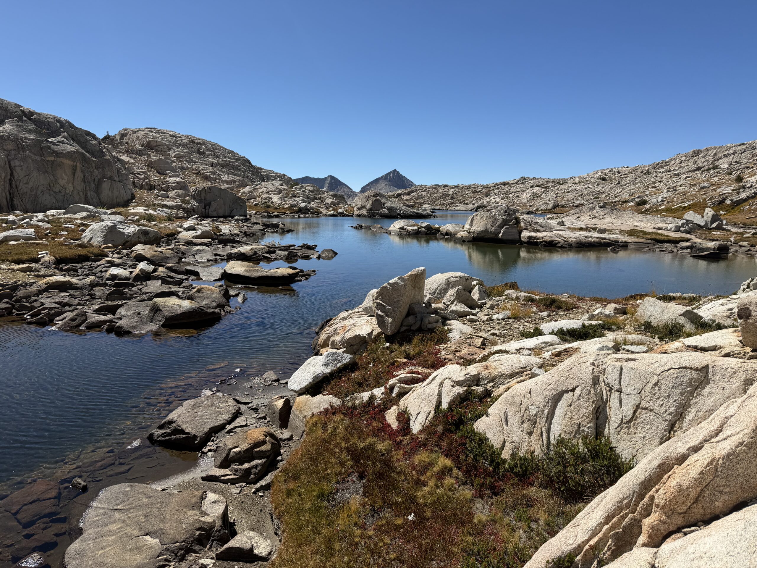
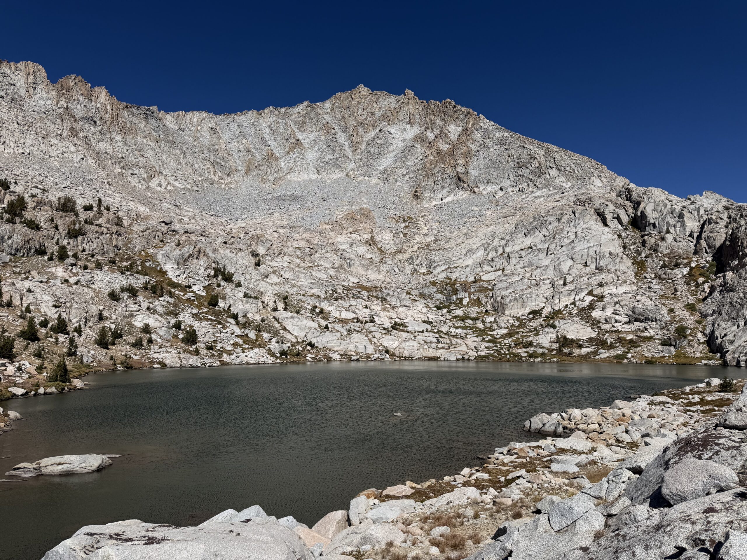
From there, it was easy cross-country travel back to Sandpiper Lake, where I stopped to refill my water one more time. I was now more than 22 miles into my day, with 15 miles still to go, although just under three of those would be on the e-bike. It was about 3 PM, and my goal was to reach the car by 8 PM. Ambitious, but doable, with almost the entire route now downhill and on good trail.
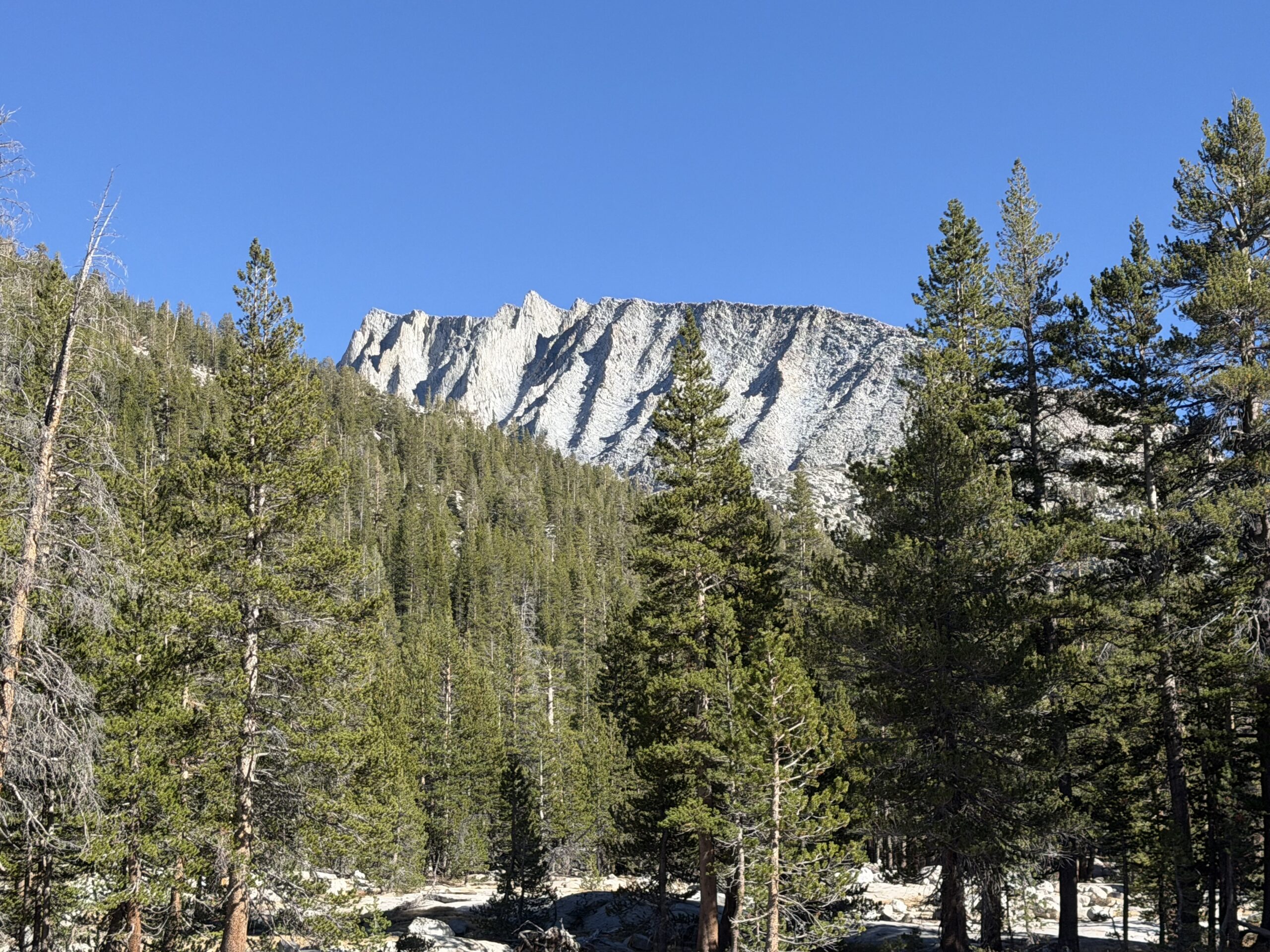
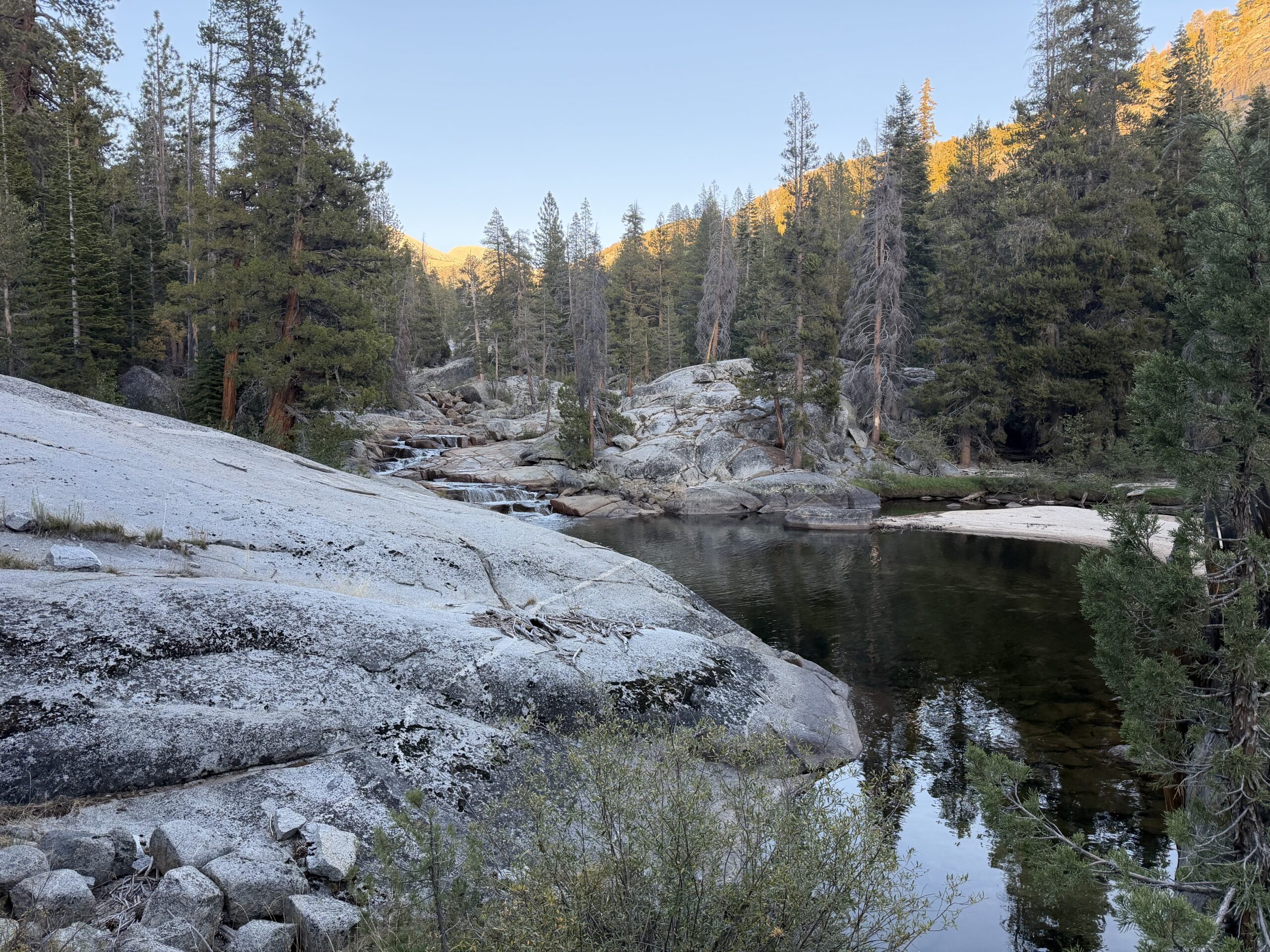
I turned on some podcasts to help pass the time, passing Lou Beverly Lake and the Bear Creek crossing by 4 PM. The trail continued alongside Bear Creek, and I was pleasantly surprised by the small waterfalls and swimming pools I passed along the way. I’d missed all of this scenery in the darkness on my ascent that morning.
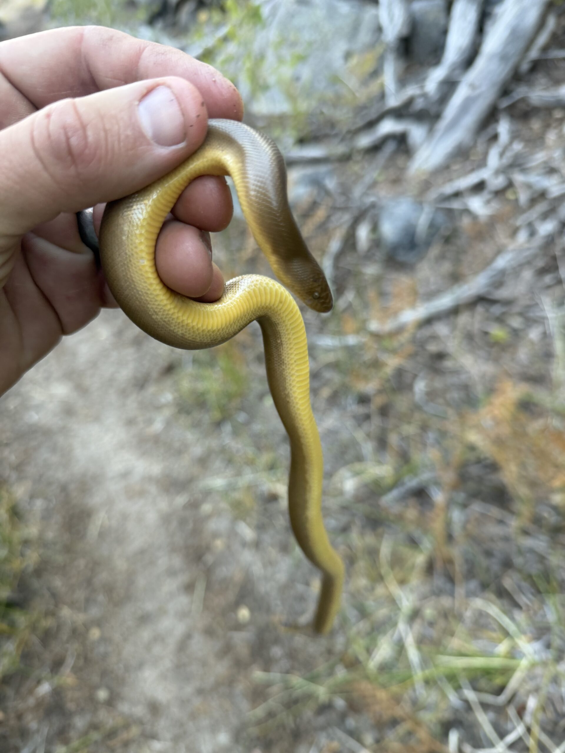
About halfway back, I almost stepped on a small rubber boa in the trail, one of California’s friendlier snakes and a species I’d never encountered before. I picked him up and moved him off the trail before pressing on.
As evening settled in, I eventually had to dig out my headlamp, with not enough ambient light making it through the forest. I followed the trail to the actual trailhead, which turned out to be quite a bit higher upslope than where I’d wandered into the forest that morning. My e-bike was still sitting unharassed on the small cedar where I’d chained it.
I hopped on and started down the road, although it was far too bumpy and rough for the glorious downhill coast I’d been hoping for. When I finally pulled up to my car, I checked the time.
8:00 PM on the dot.
I was in disbelief that I’d pulled it off. I’d not only completed another 30-plus-mile day, but shattered my personal distance record—and somehow didn’t feel completely wiped out like I had after some of my other big days.
After securing my bike, I started back over Kaiser Pass. The restaurants in Shaver Lake and Prather were already closed, so there was no celebratory post-hike meal waiting for me. Instead, I settled for some microwaved mac and cheese at home at 10:30 PM.
Not exactly the feast you’d expect after a personal-best day in the Sierra, but at that point, it tasted pretty damn good.
Ambitious and solid effort!!!
Congratulations and thanks for sharing!
Thank you!