
South Sister 10,358′
Pacific Northwest
Total Time: 5:50
Distance: 12.3 miles
Elevation Gain: 4875′
Crux: Class 1
Trailhead: Devils Lake Trailhead- trash, pit toilets


It was the final day of my Pacific Northwest trip, and five volcanoes in six days had finally caught up with me. I woke up stiff and sore in my hotel room, grateful that I had saved one of the easier objectives for last: South Sister. At 10,358 feet, it is the third-highest mountain in Oregon, but unlike the other big peaks of the trip, it has a well-defined trail all the way to the summit and is accessible to just about anyone willing to put in the miles. That accessibility makes it enormously popular, so I needed to get an early start both to snag a parking spot and to give myself enough time to drive back to Portland for my flight that evening.
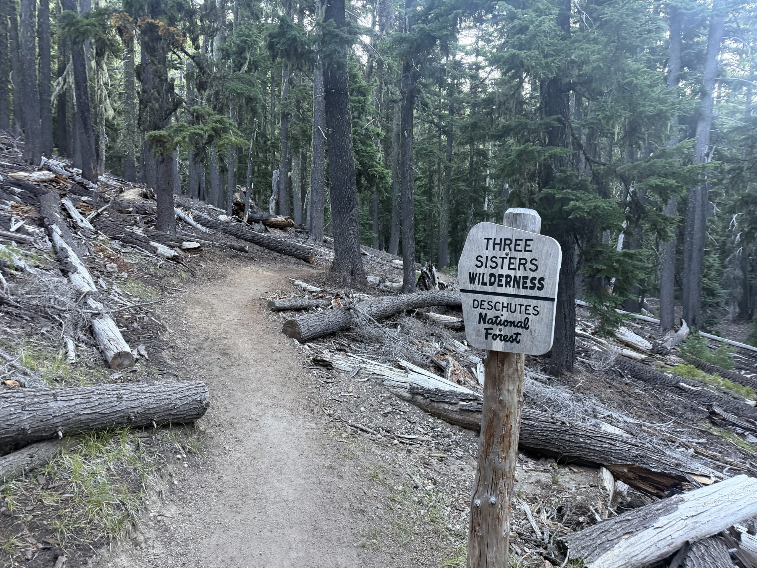
It was shortly after 6 AM when I pulled into the trailhead parking lot, which was already mostly full on a Sunday morning. The crowd was noticeably different from the people I had encountered on the other summits of the trip. Here there was a cross section of Oregon humanity, from ultrafit trail runners to Portland hipsters in Robin Hood hats and canvas shoes, and just about everything in between. Despite the busy trailhead, I somehow found myself alone almost immediately, switchbacking upward through the forest for two miles before emerging onto the broad plateau above Moraine Lake.
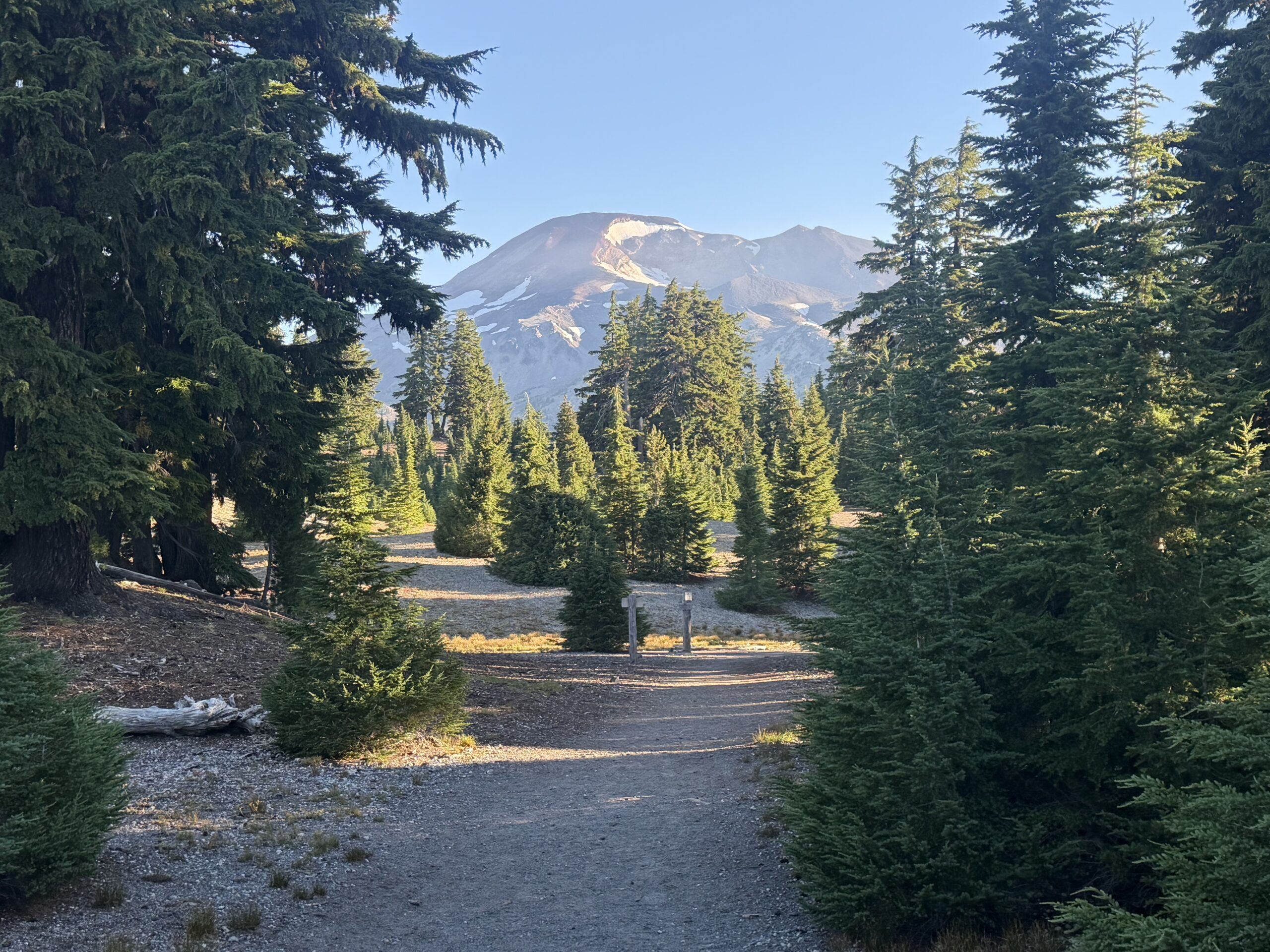
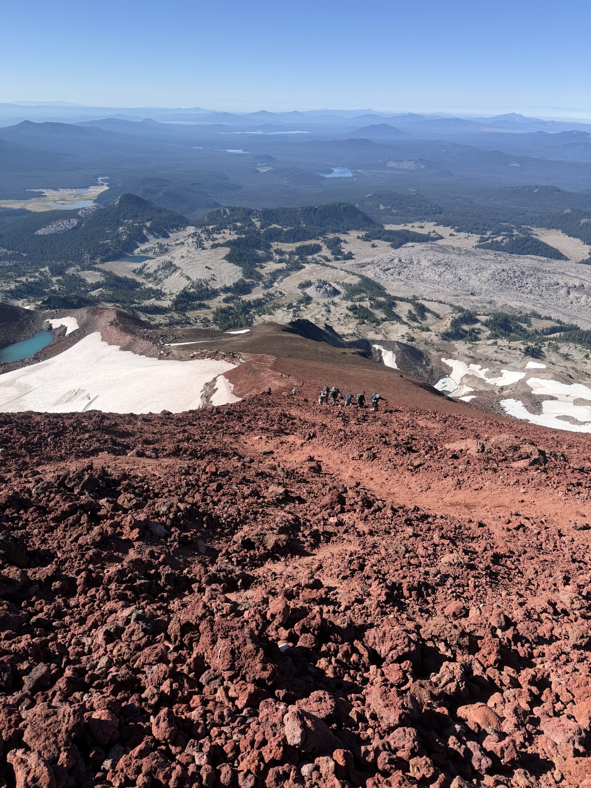
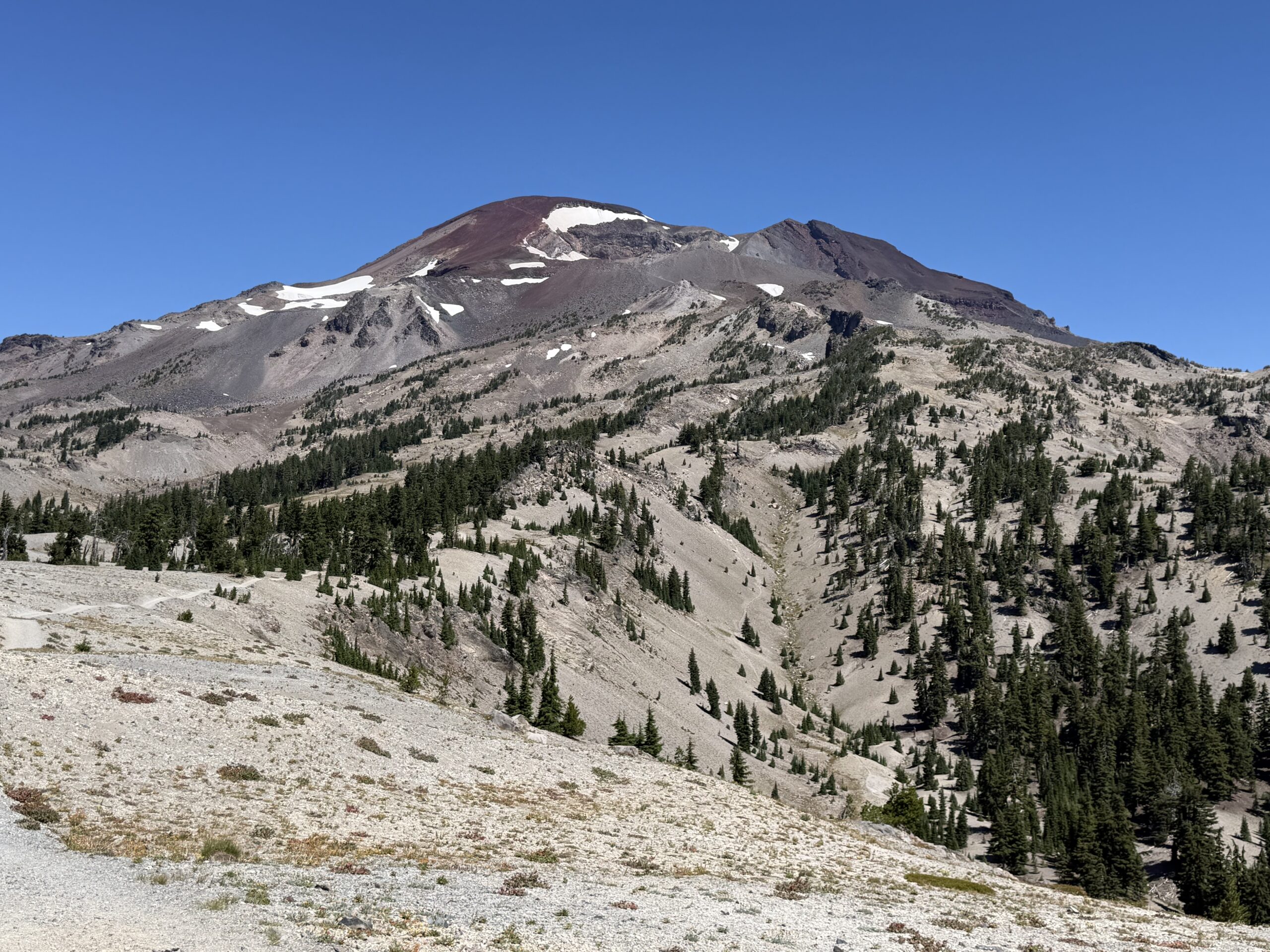
The summit finally popped into view, with the trail taking a remarkably direct line up the steep south slopes. I crossed the plateau and took a short break before beginning the real climb, having covered more than half the distance to the summit but less than a third of the elevation gain. And after a weeks worth of volcanoes, my legs were already feeling the burn. As the trail climbed the south slopes, the views began to open up, revealing interesting lava flows and volcanic domes to the south.
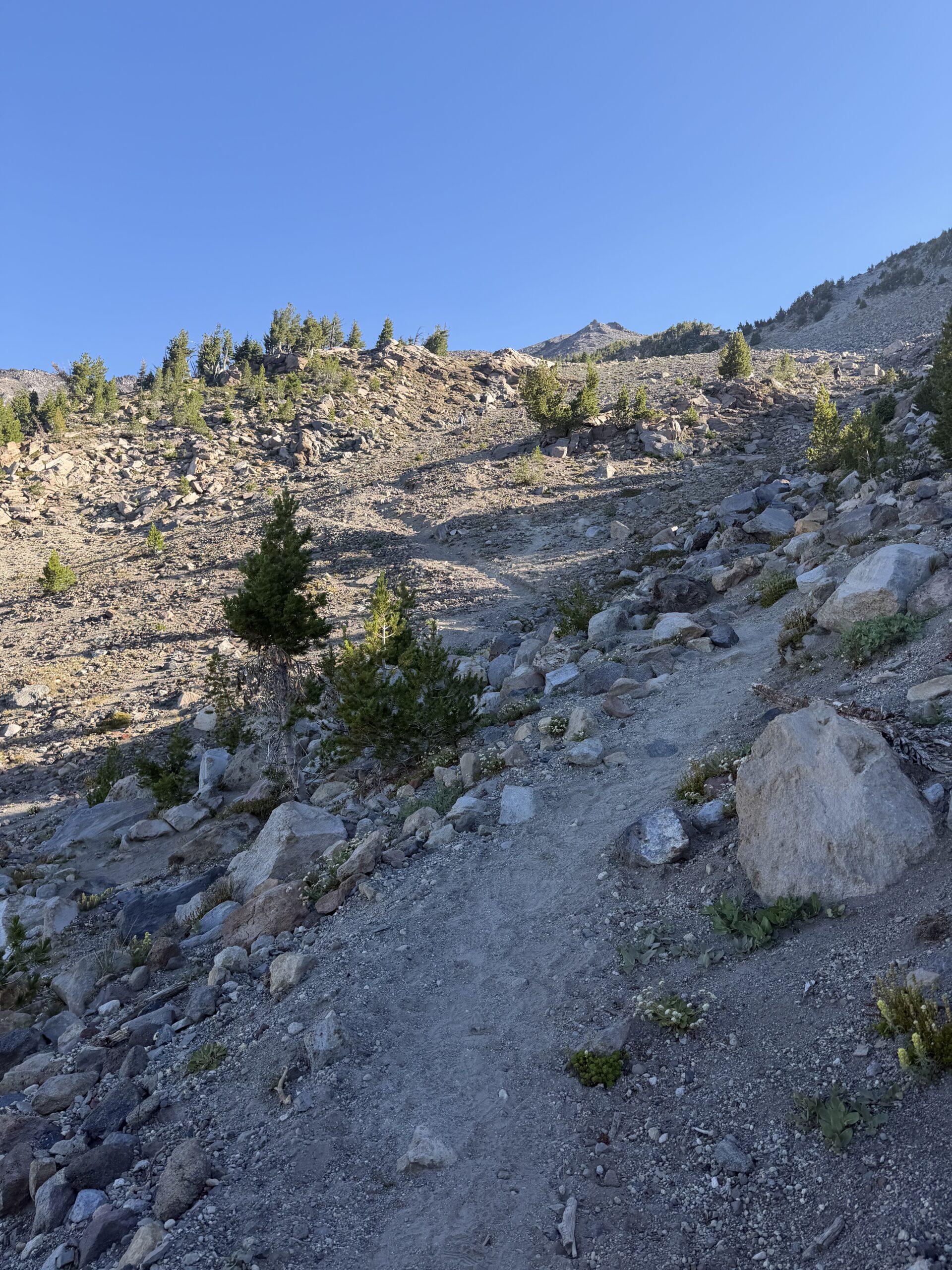
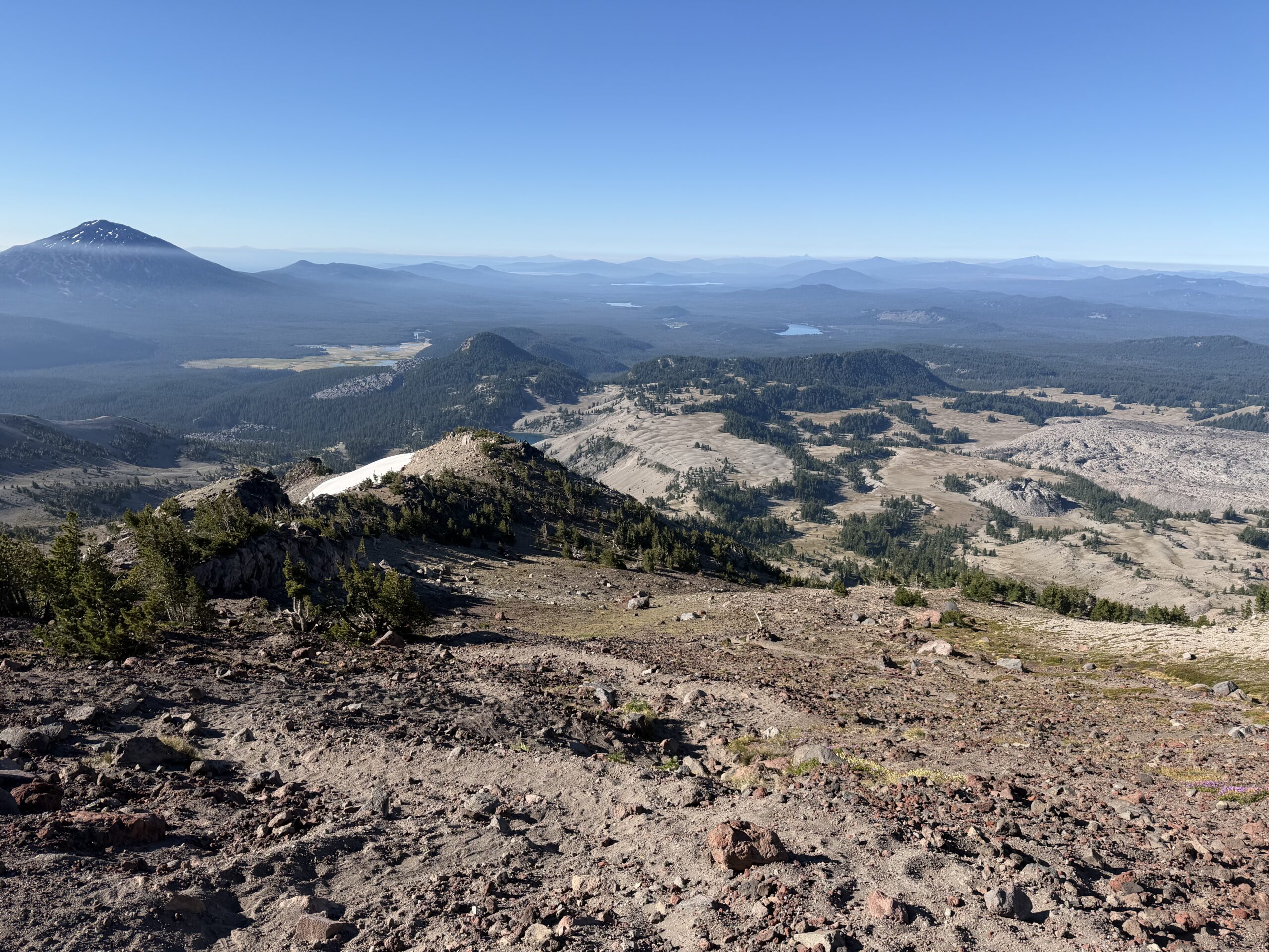
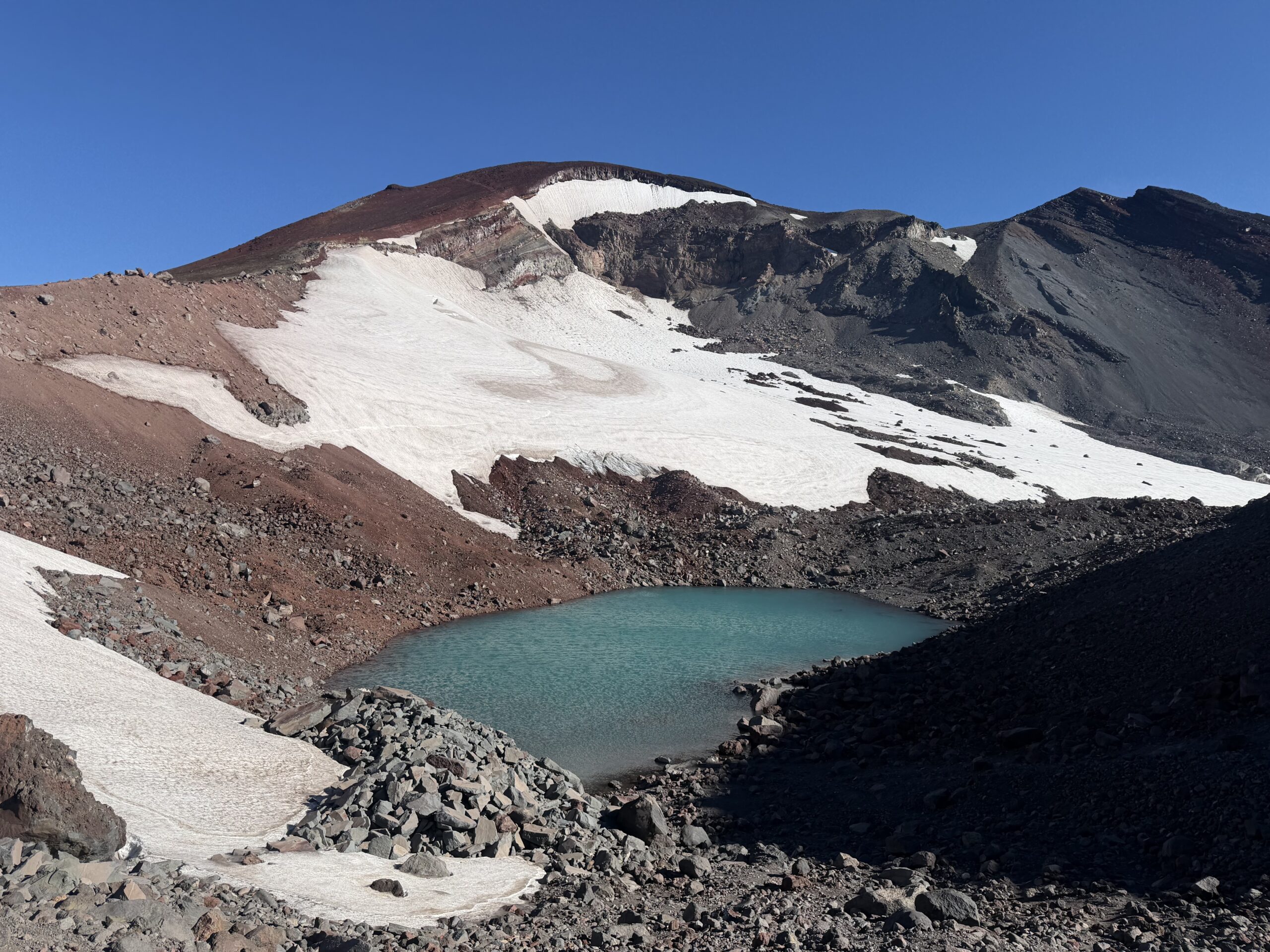
I started passing other parties on this steeper section, climbing nearly 2,000 feet in less than a mile and a half to a notch immediately west of Lewis Glacier Peak. From there, the broad south slopes narrowed into a ridgeline of red rock, with Clark Glacier dropping away to the west and Lewis Glacier to the east, and a small unnamed tarn tucked at the base. The ridge was surprisingly exposed, and I stopped to put on my shell before pressing on toward the summit.
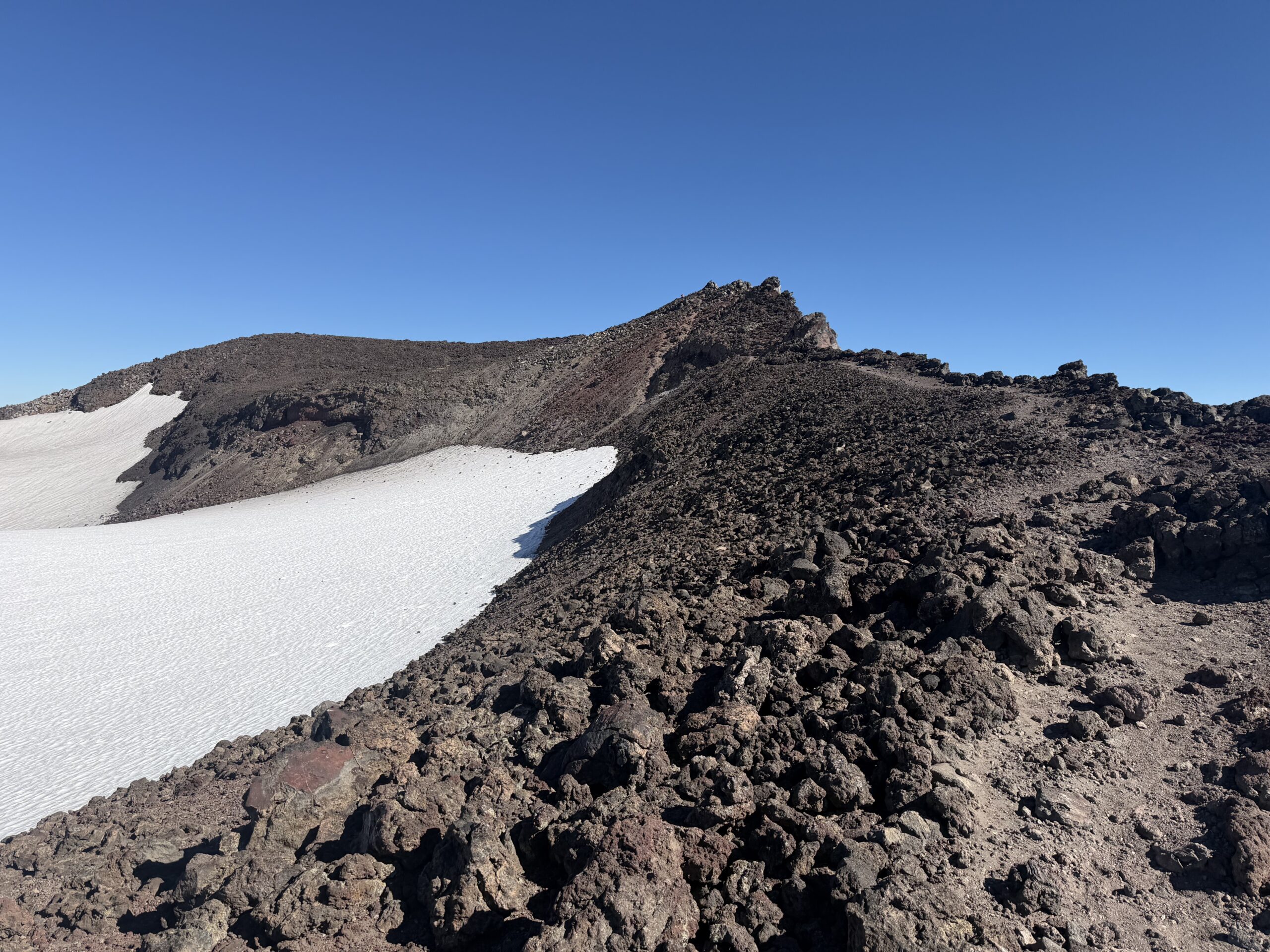
The ridgeline eventually reached the summit crater rim, about 200 vertical feet below the high point on the northeast corner of the caldera. The crater itself was filled with ice, and although the trail could be followed around the rim, I opted for the more direct—and more interesting—route straight across the frozen surface. I climbed onto the summit rocks and tagged the high point, five volcanoes into my six-day tour of the Cascades.
South Sister was the easiest summit of the trip, but reaching it still felt significant. Washington, Adams, Rainier, Broken Top, and now South Sister had taken me from technical climbing to a solo ascent of Rainier and back again, with very little time in between. My body was tired, but it was satisfying knowing that the final objective was now behind me.
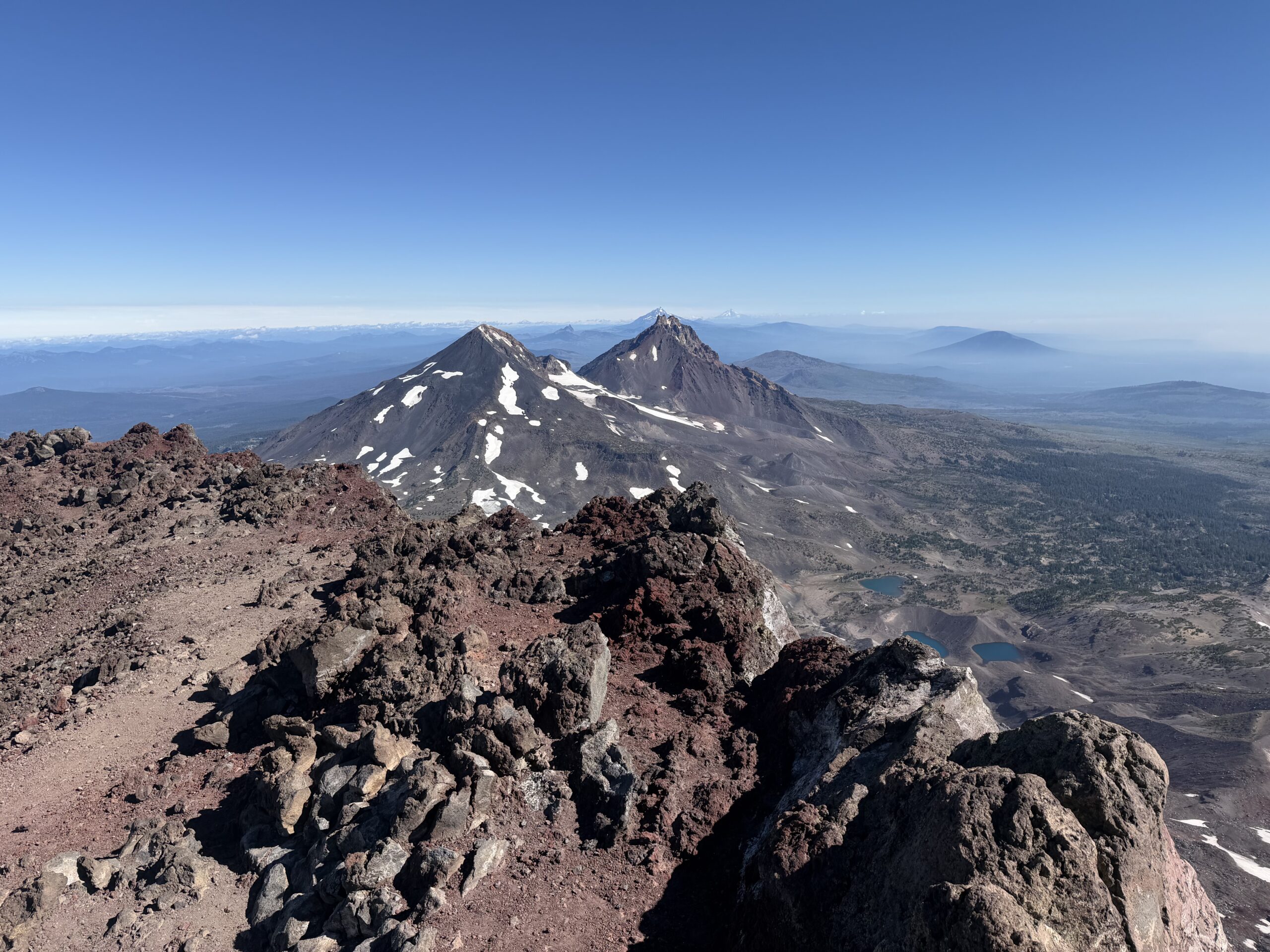
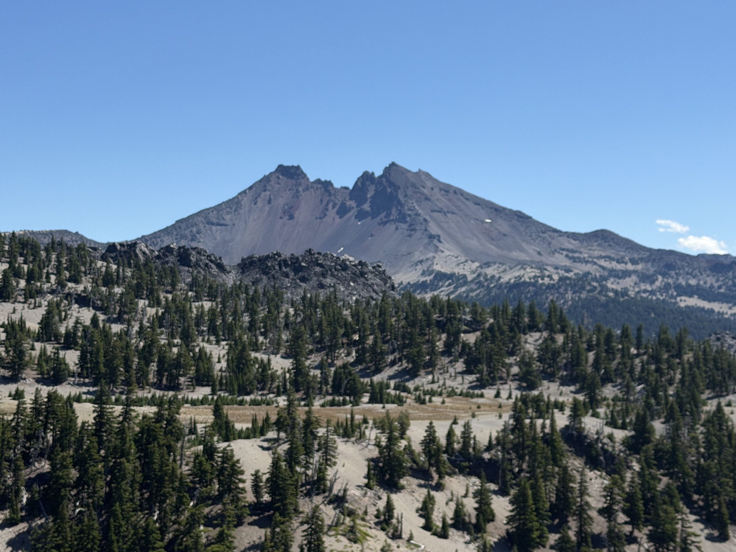
I hunkered down out of the wind on the northeast side of the summit and took a short break. The best views were east toward Broken Top and north toward Middle and North Sister, although smoke from the fires north of Bend was beginning to obscure some of the horizon.
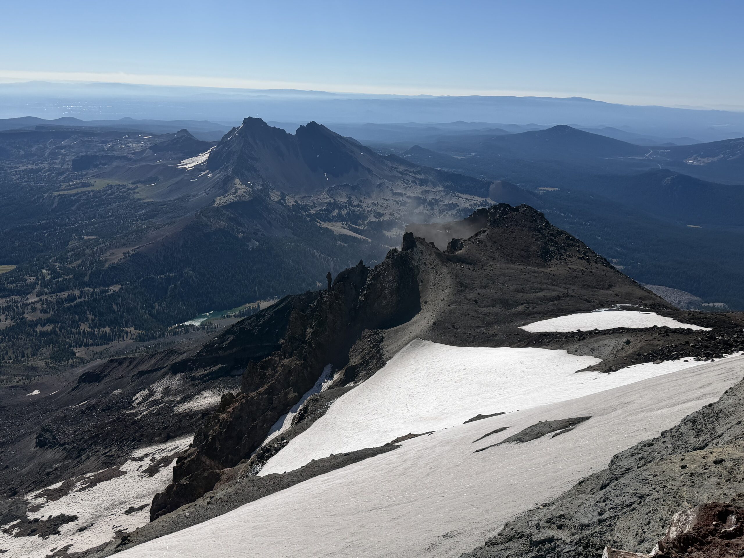
I didn’t linger long. I wanted to make good time on the descent, maximize my chances of getting lunch in Bend, and still have plenty of time to make my flight out of Portland. I headed back down the way I had come, using patches of loose scree to work my way quickly down the ridgeline. Passing Lewis Glacier Peak, I couldn’t resist a short detour to a small bump labeled Nipple Point on the topo map. As a breast radiologist, this was obviously mandatory.

It was a quick Class 2 scramble to the summit, where I took a very short break before continuing down. The slopes dropping from the ridgeline to the broad plateau above Moraine Lake were much sandier, making for excellent boot skiing on the descent. By the time I crossed the plateau, the smoke seemed to be moving in, perfect timing for the end of my trip.
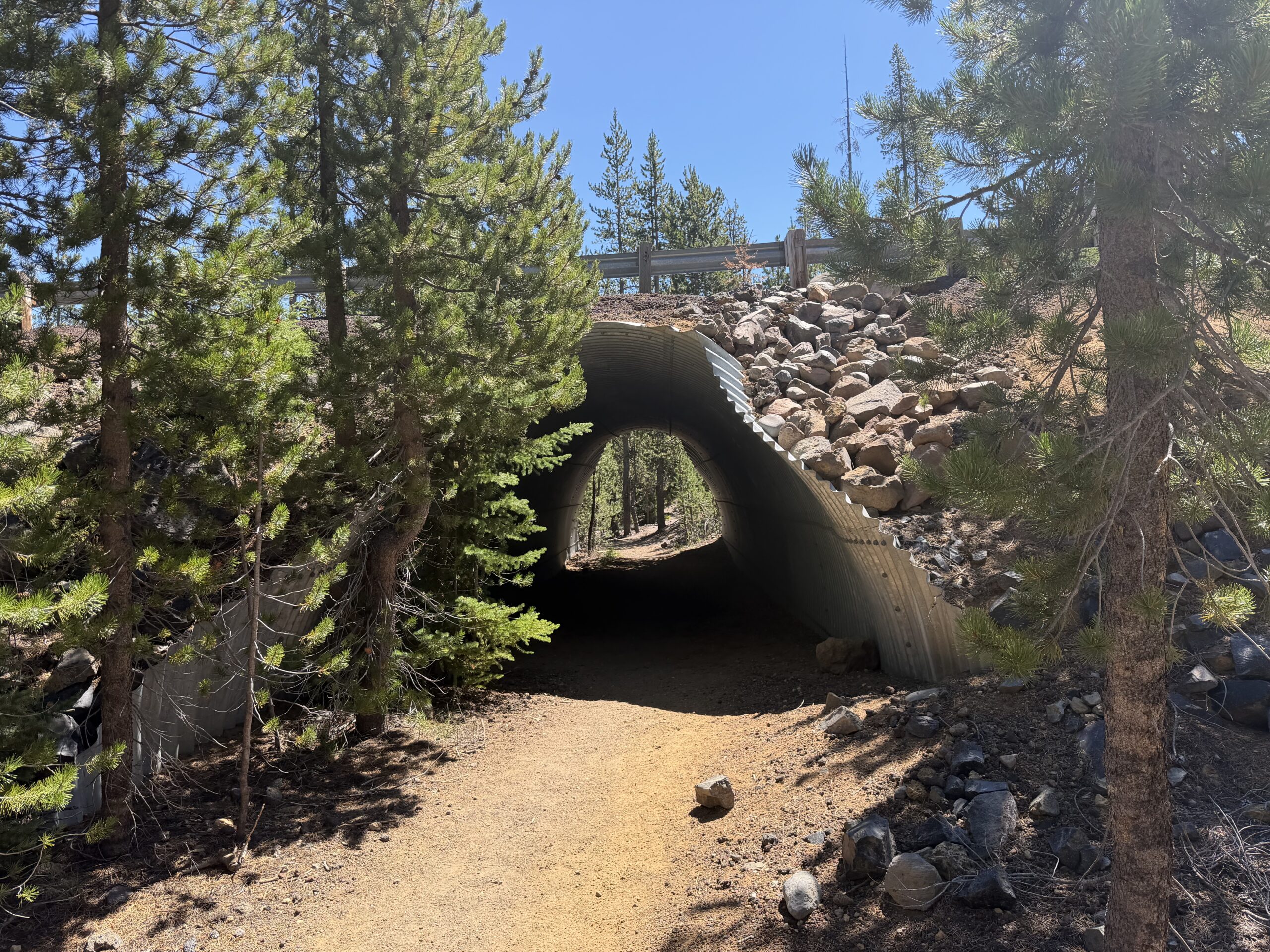
I dropped back into the forest, where a ranger stopped me to check my day permit. Thankfully, I had remembered to screenshot it that morning. On the way out I followed a reroute to the trailhead, passing through a tunnel under the highway before emerging back at the parking lot. The entire outing had taken just under six hours.
From there I headed into Bend for a late lunch at Crux Brewing, settling onto the back patio with a beer and a view of the Three Sisters Wilderness. Across the horizon were several of the volcanoes I had spent the past week climbing, now reduced to distant hazy silhouettes while I sat comfortably at a brewery. It was a fitting end to the trip: five volcanoes in six days, a week of early mornings and long drives, and one final look back at the mountains before heading home.
From Bend it was an uneventful drive back to Portland, followed by a flight home to my Sierra Nevada.
It’s shame its over, I have really enjoyed following your adventure from down under in Sydney . Look forward to your next journey
Thanks for following along!