
Mount Washington 7,797′
Rock Climbing– Pacific Northwest
Total Time: 8:15
Distance: 11.2 miles
Elevation Gain: 3350′
Crux: Class 5.3
Pitches: 3
Protection: Light alpine rack, many slings
Trailhead: Big Lake PCT TH, no services
Companions: Justin Shelton


My week-long trip to the Pacific Northwest would be an ambitious one: five volcanoes in six days, culminating in a solo ascent of Mount Rainier. I would actually be solo for every day of the trip except the first, when Justin and I would attempt Mount Washington. Located in the central Oregon Cascades, Mount Washington is one of the smaller volcanoes in the range at 7,797′, but one of the more difficult, with the easiest route up the North Ridge rated 5.3. Justin and I had successfully climbed Three Fingered Jack, rated 5.2, the year before under snowy spring conditions, and I was looking forward to ticking off another fifth-class summit with him. We had originally planned to camp near the trailhead, but a horrible start to Oregon’s fire season meant poor air quality near the pass. Instead, we elected to spend the night at Justin’s place in Portland and get an early alpine start.
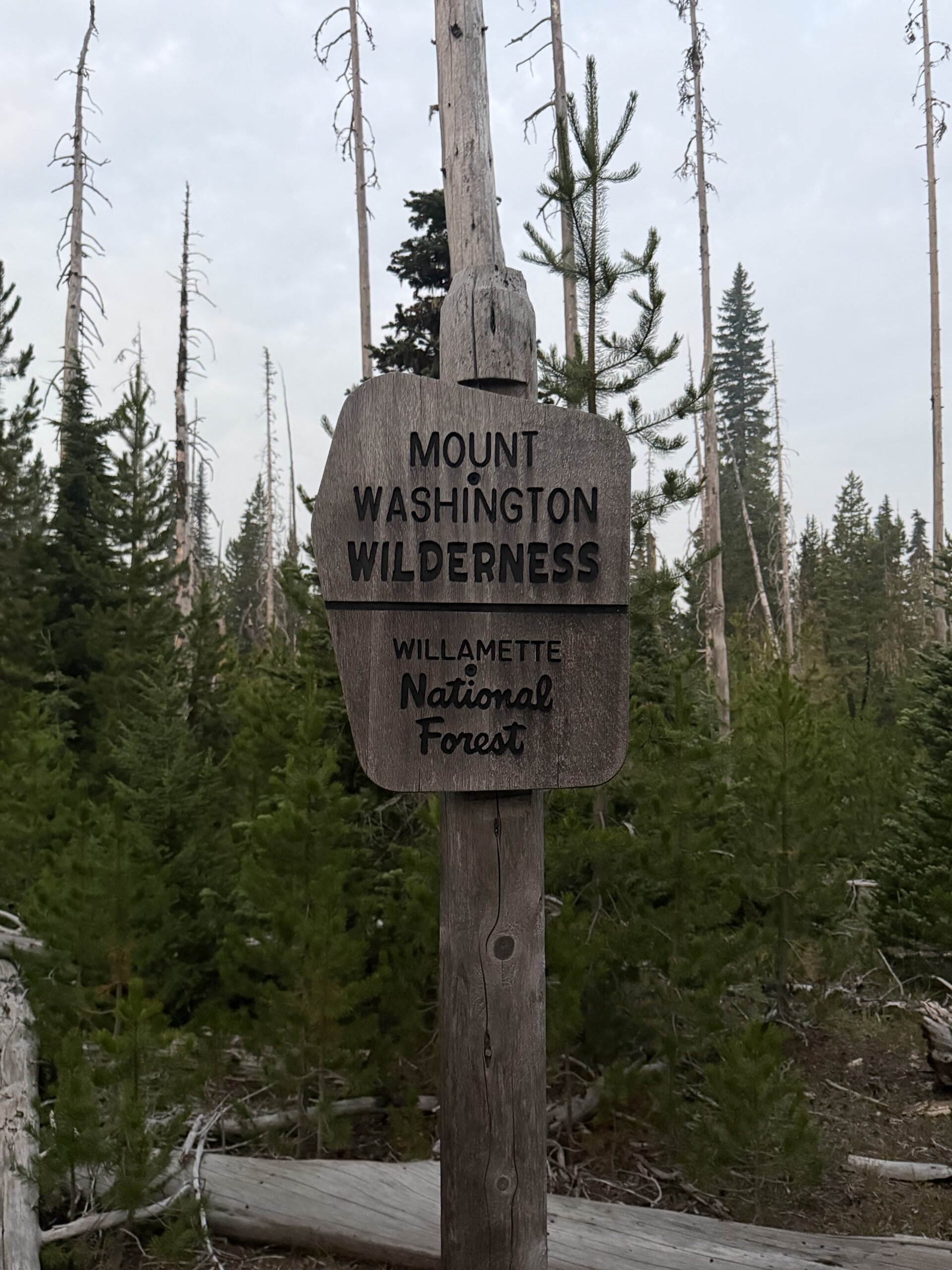
Leaving before any potential morning traffic, the drive went quickly, and we reached the trailhead, a junction with the Pacific Crest Trail, just as there was enough ambient light that we didn’t need headlamps. A sign outside a nearby camper declared that the site belonged to “Magic Mike,” although the camper was dark at the early morning hour. We shouldered our packs and started south on the PCT. The smoke was present, but not as thick as I had feared. Still, Mount Washington was barely visible through the haze as we worked our way through an old burn scar.
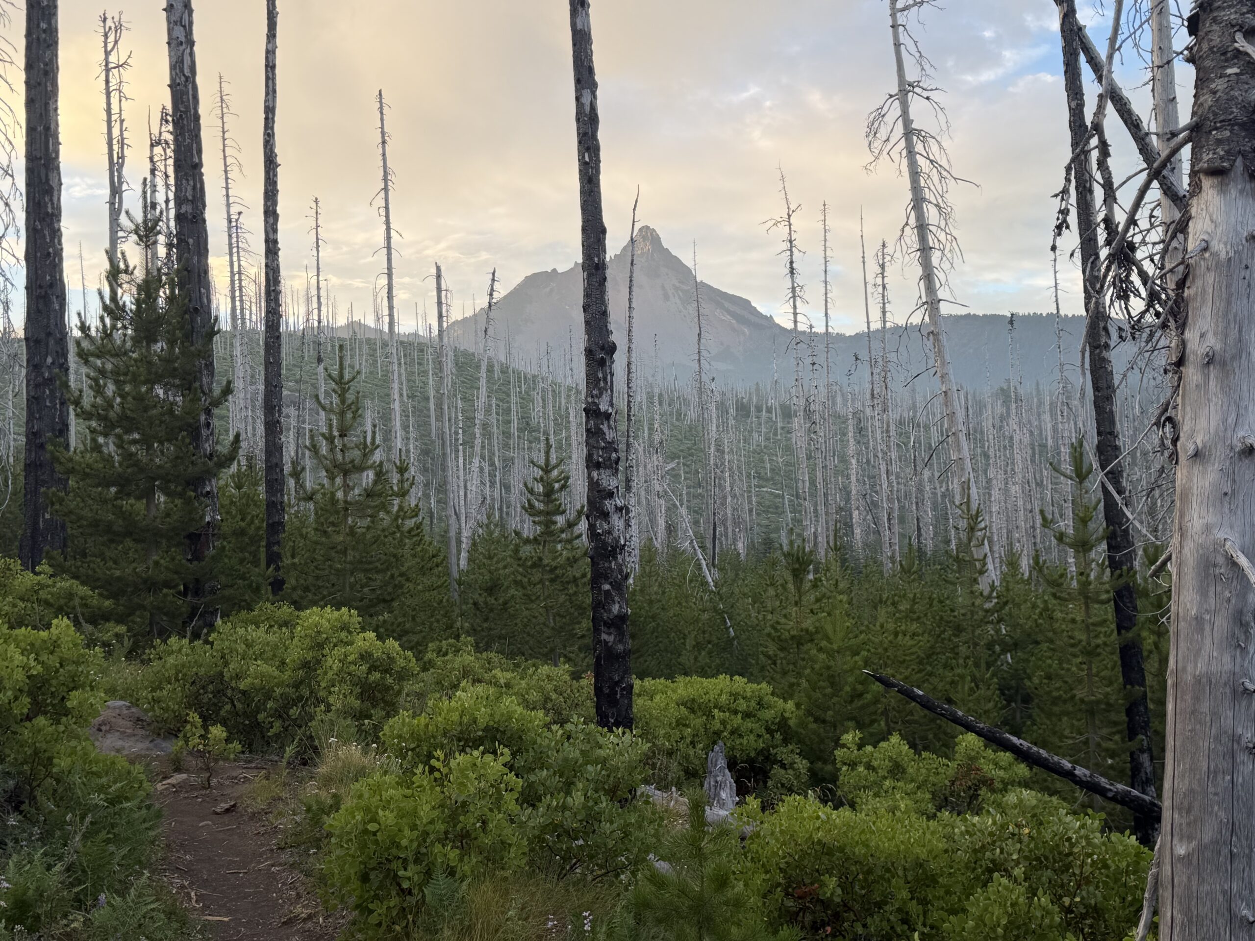
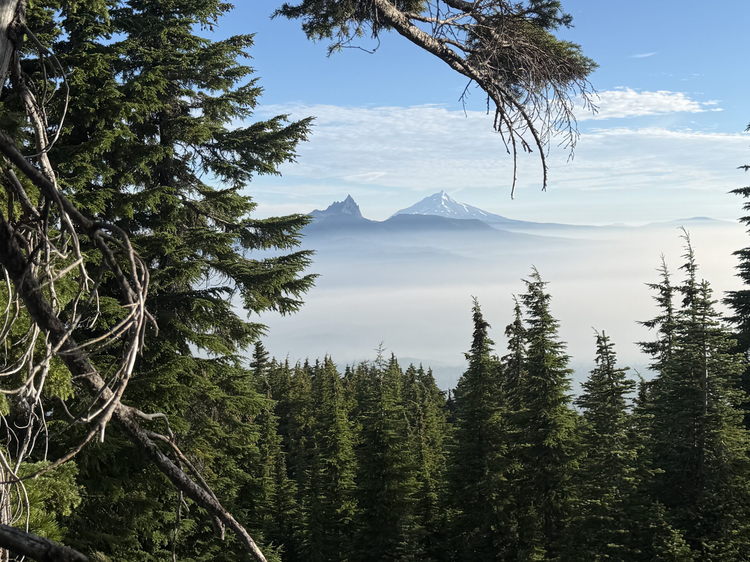
The trail gained only a few hundred feet as we hiked three miles to a cairned turnoff and well-defined climbers’ trail. We took a very short break before continuing upward. The climbers’ trail was quite steep in contrast to the mellow PCT we had just left, but it was easy to follow and well defined for an unmaintained route. We soon found ourselves above the smokeline, with views of Mount Jefferson and Three Fingered Jack to the north and our objective, Mount Washington, to the south.
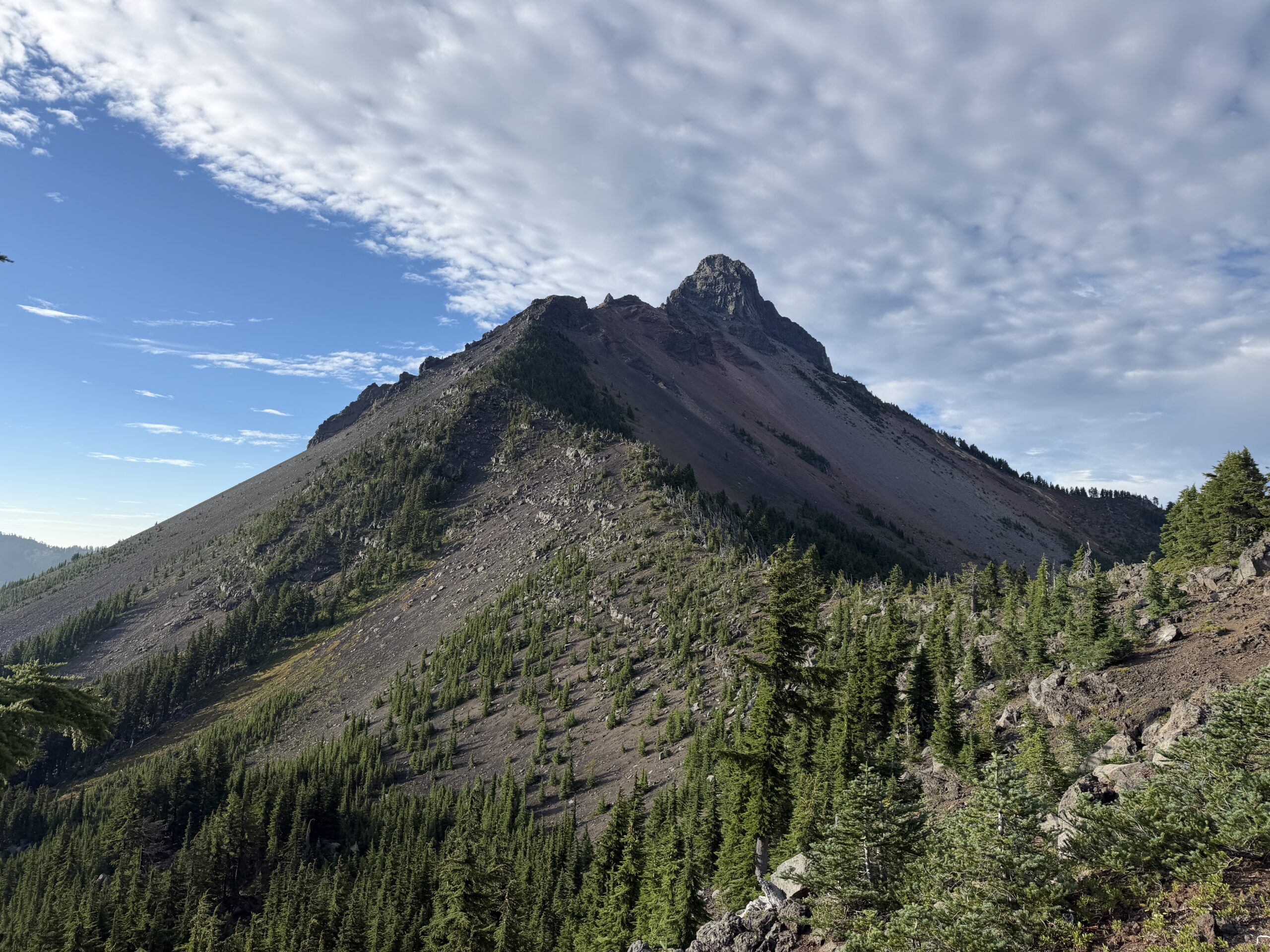
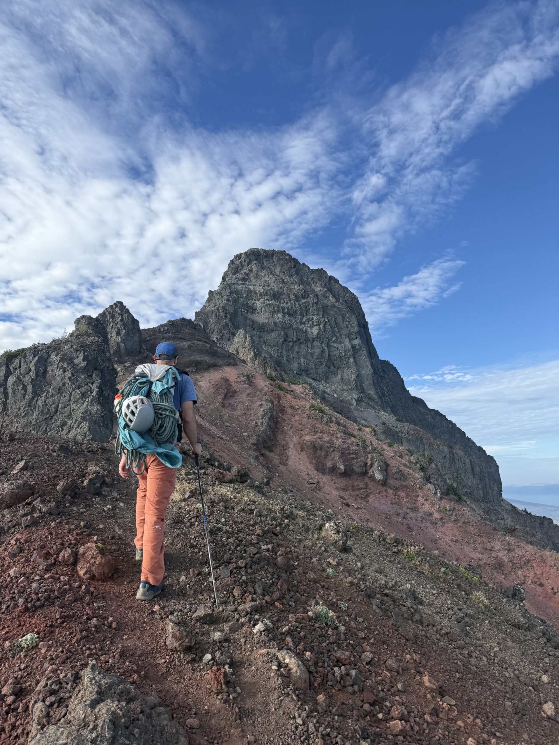
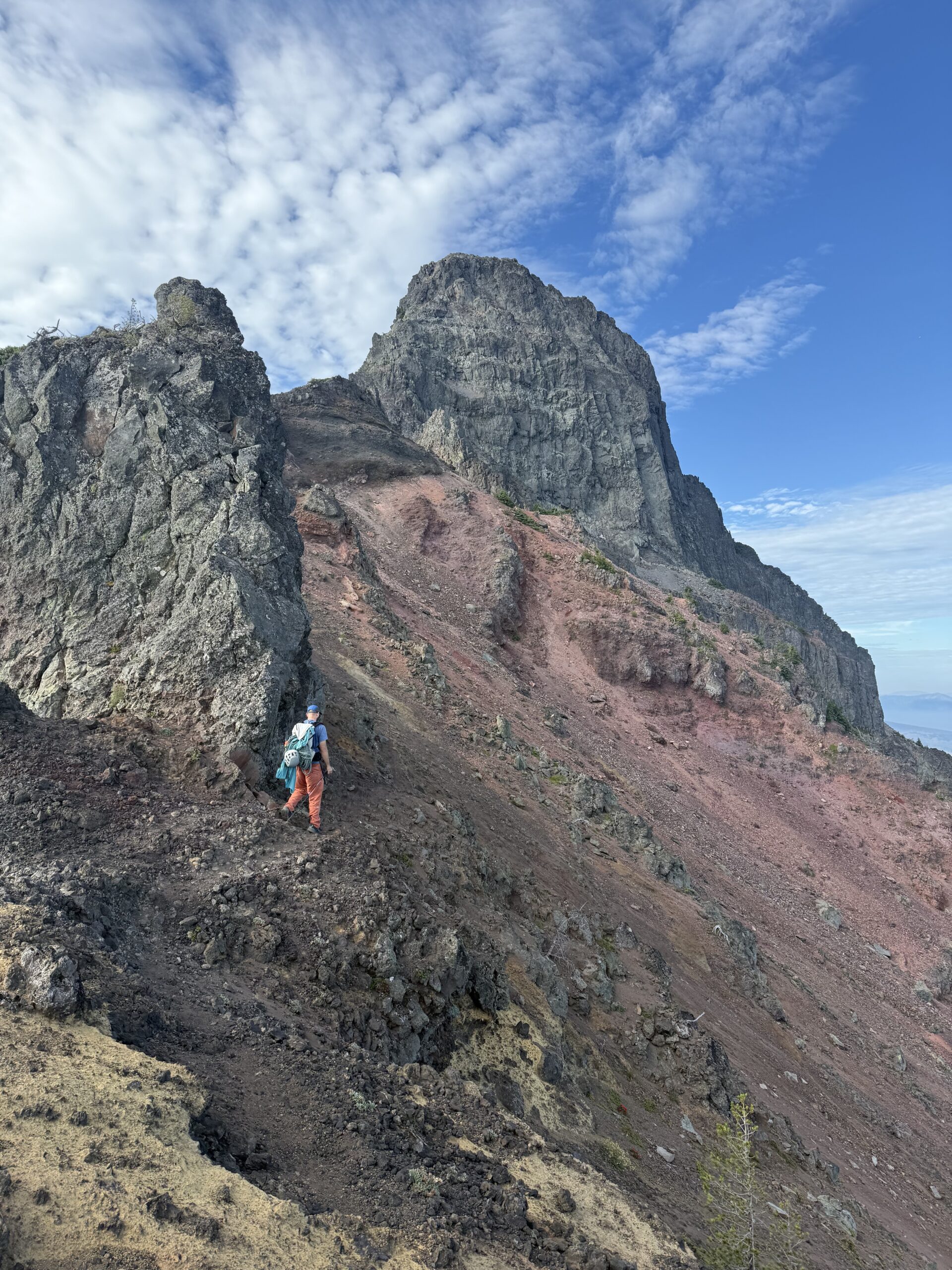
The climbers’ trail joined the ridge at Point 6,323′, and we dutifully followed the ridgeline from there, with intermittent use trails moving from the crest to just below it on the eastern side. There were a number of volcanic plugs and false summits to work around before we dipped into a final scree gully on the right side of the ridge and reached the base of the summit plug.
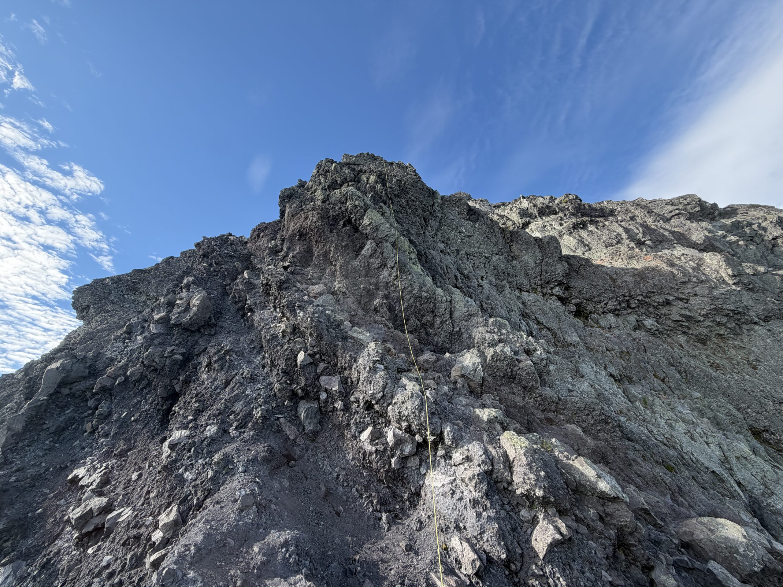
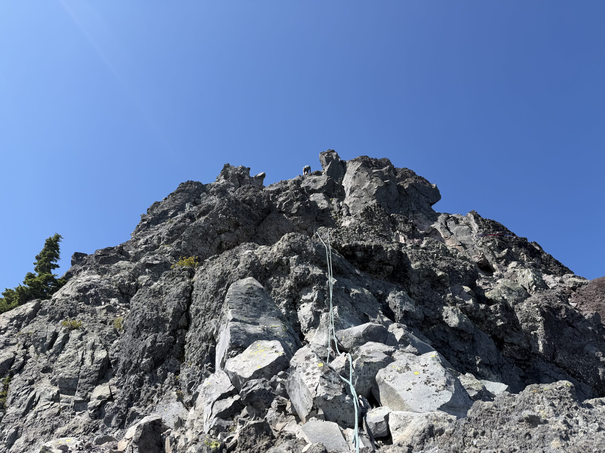
There was a fixed rope hanging from the first pitch, the second time I had encountered one that season after finding one on the Obelisk earlier in the spring. I had a small rack with me and plenty of slings, and after checking the topo, I started up the first pitch, the crux of the route.
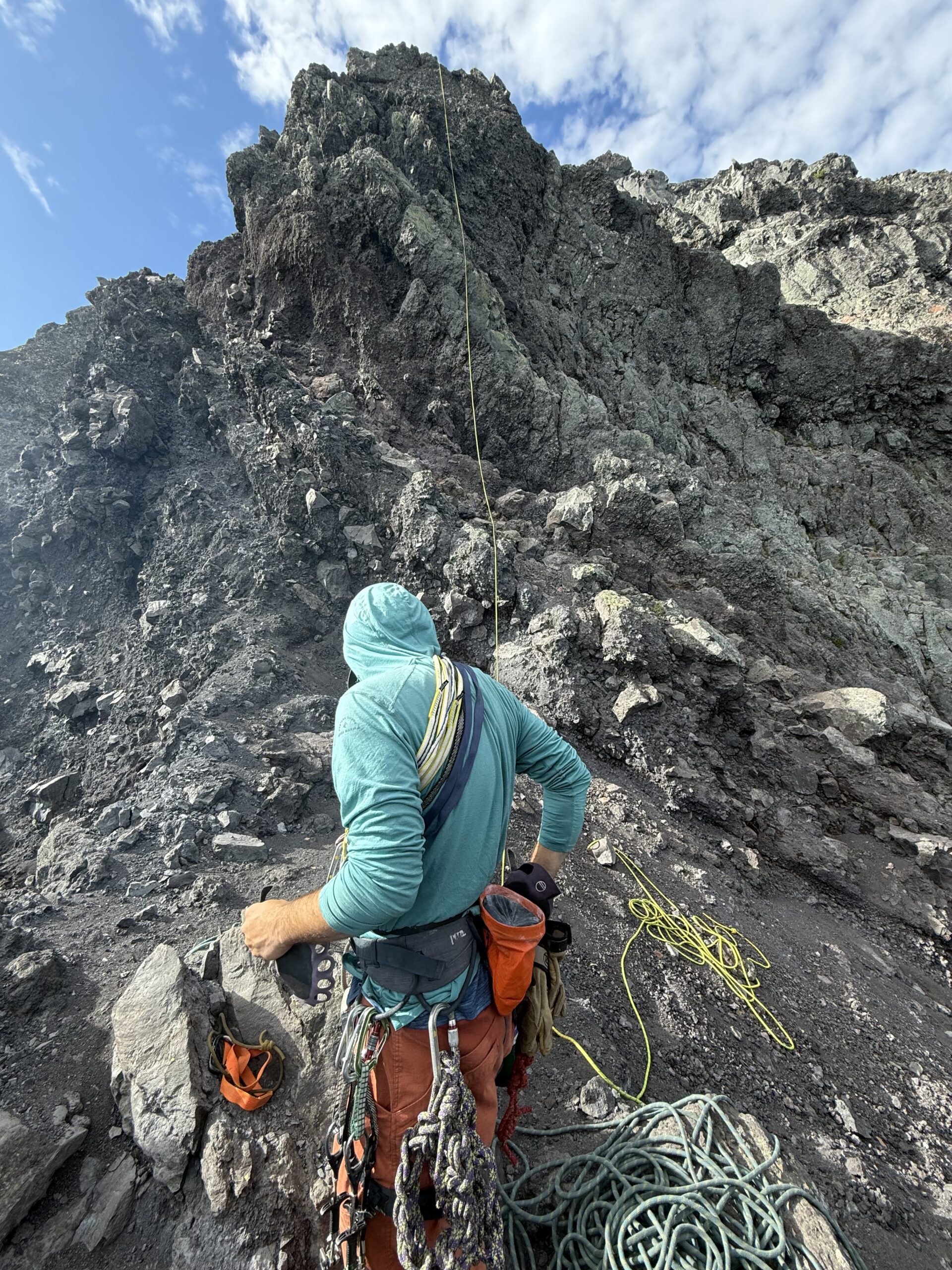
After climbing a short crack to gain a left-trending ramp, I reached a short chimney that looked overhanging from below. With my feet out wide, however, the difficulties were very manageable. There were great cracks for protection, and I placed two cams for the crux move before climbing up to a headwall just below the anchor.
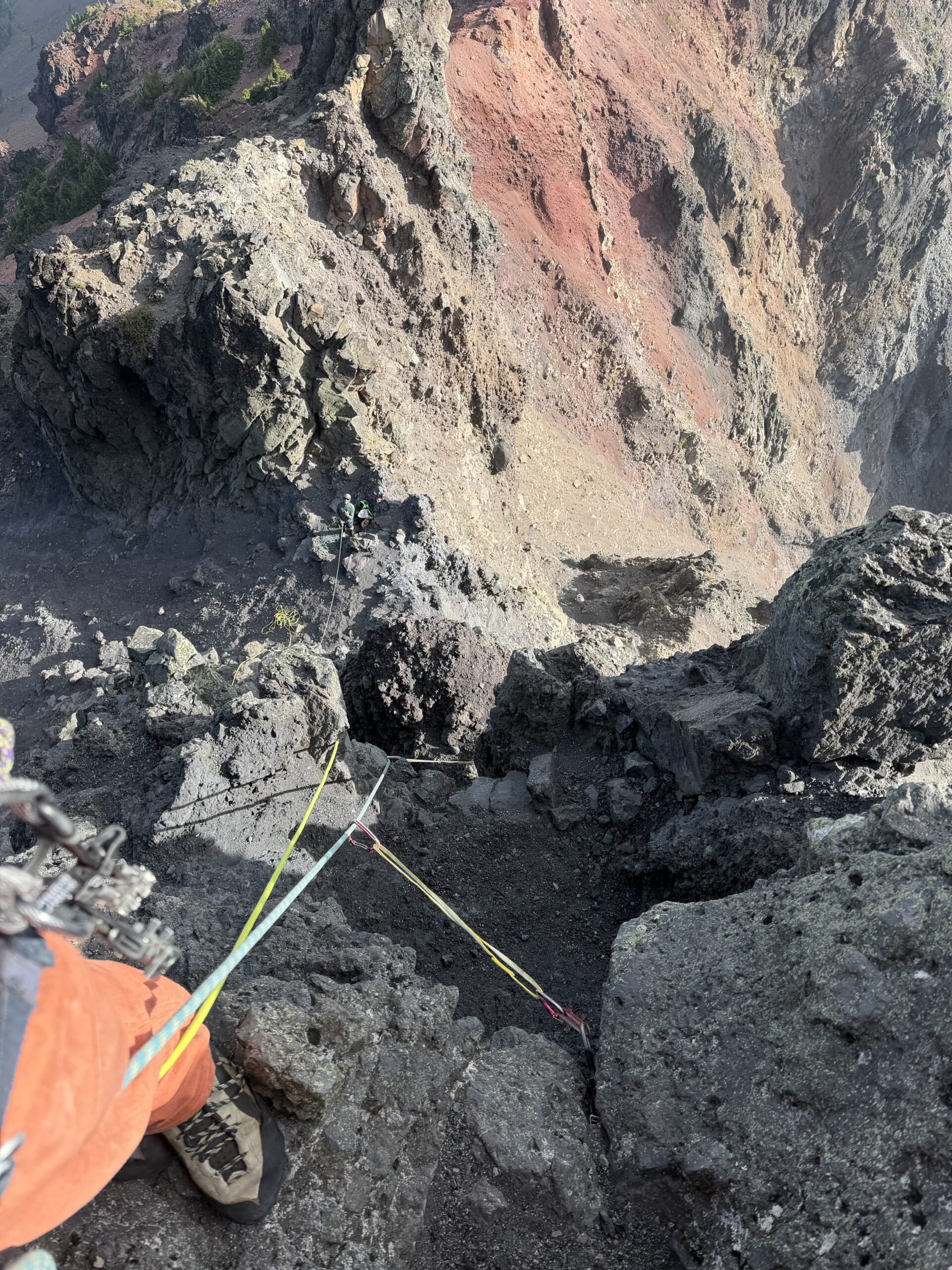
I bypassed the headwall by scrambling around to the left and reached the first anchor, a complex set of webbing spanning a rock pile and a separate spire. A core-shot rappel line was fixed to the first station. I put Justin on belay, and he made short work of the pitch, impressive considering we had last climbed together more than a year before.
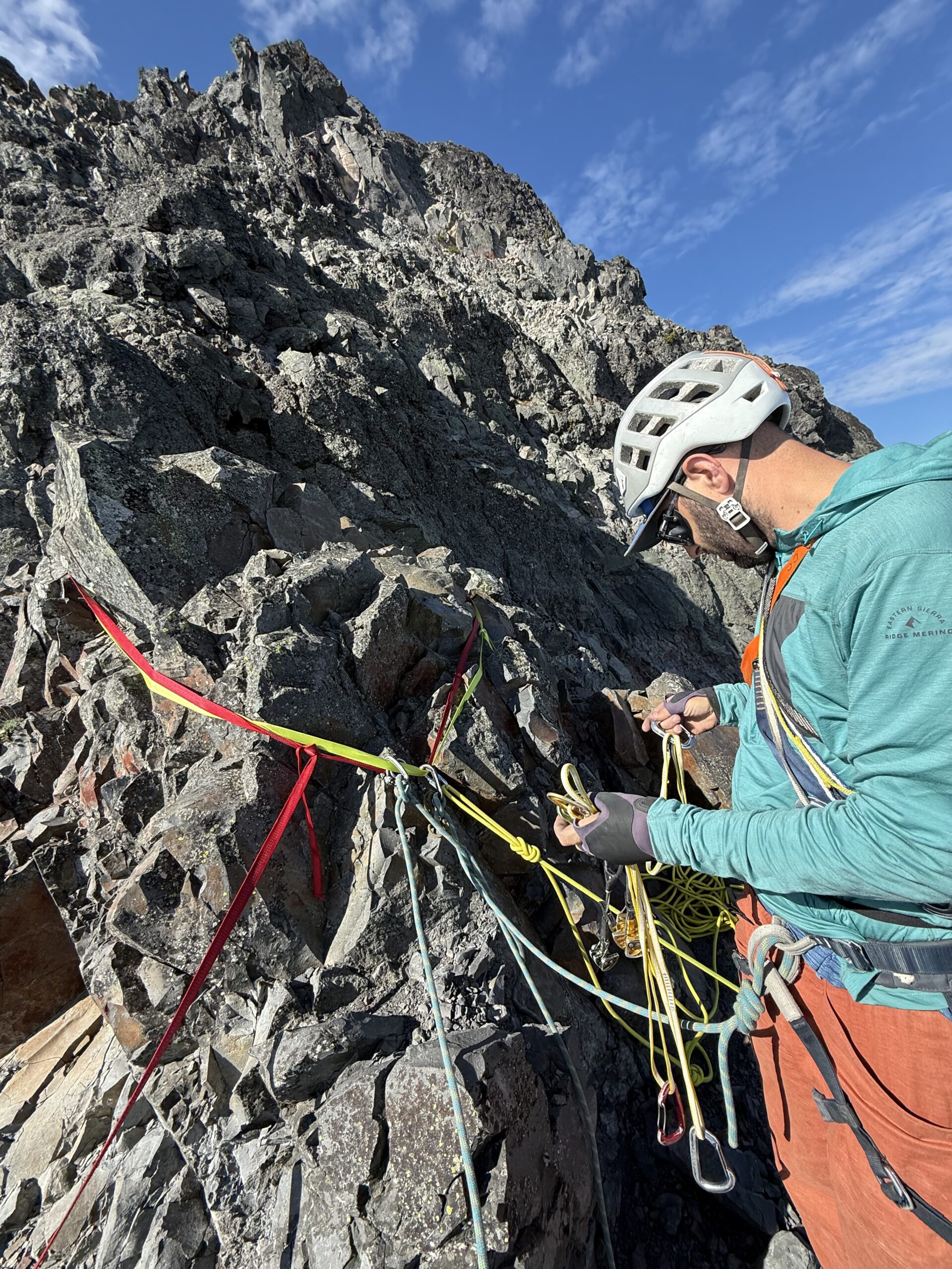
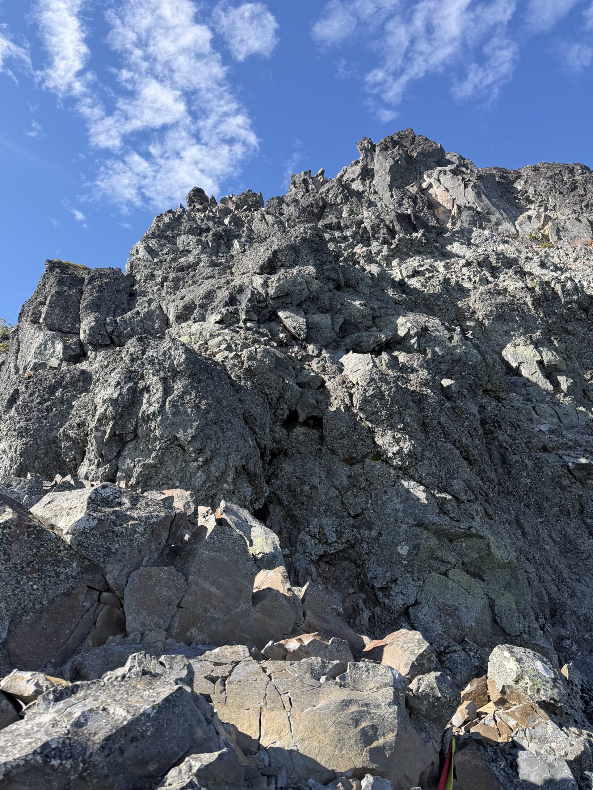
The second pitch was rated only third class, but with some exposure and plenty of loose rock, we stayed roped together. I scrambled out left to find a weakness in another cliff band, then worked back right, passing multiple intermediate rappel stations to the highest one I could see: some old webbing wrapped around a large block.
The third pitch had a bit more fifth class, with an easy fifth-class headwall leading to some third-class scrambling toward the summit. I placed a single cam at the steepest portion before reaching a rappel station about 50′ below the summit.
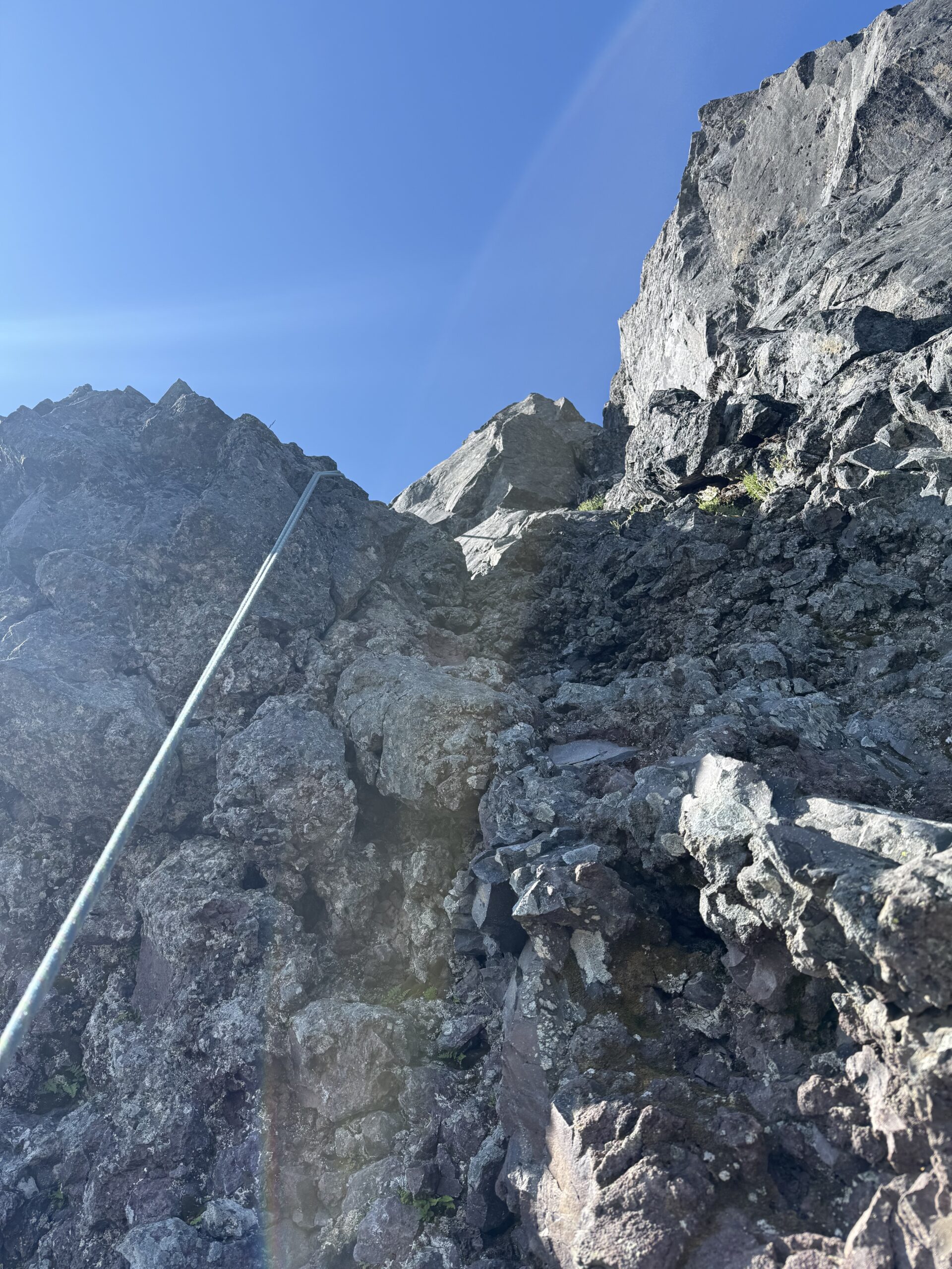
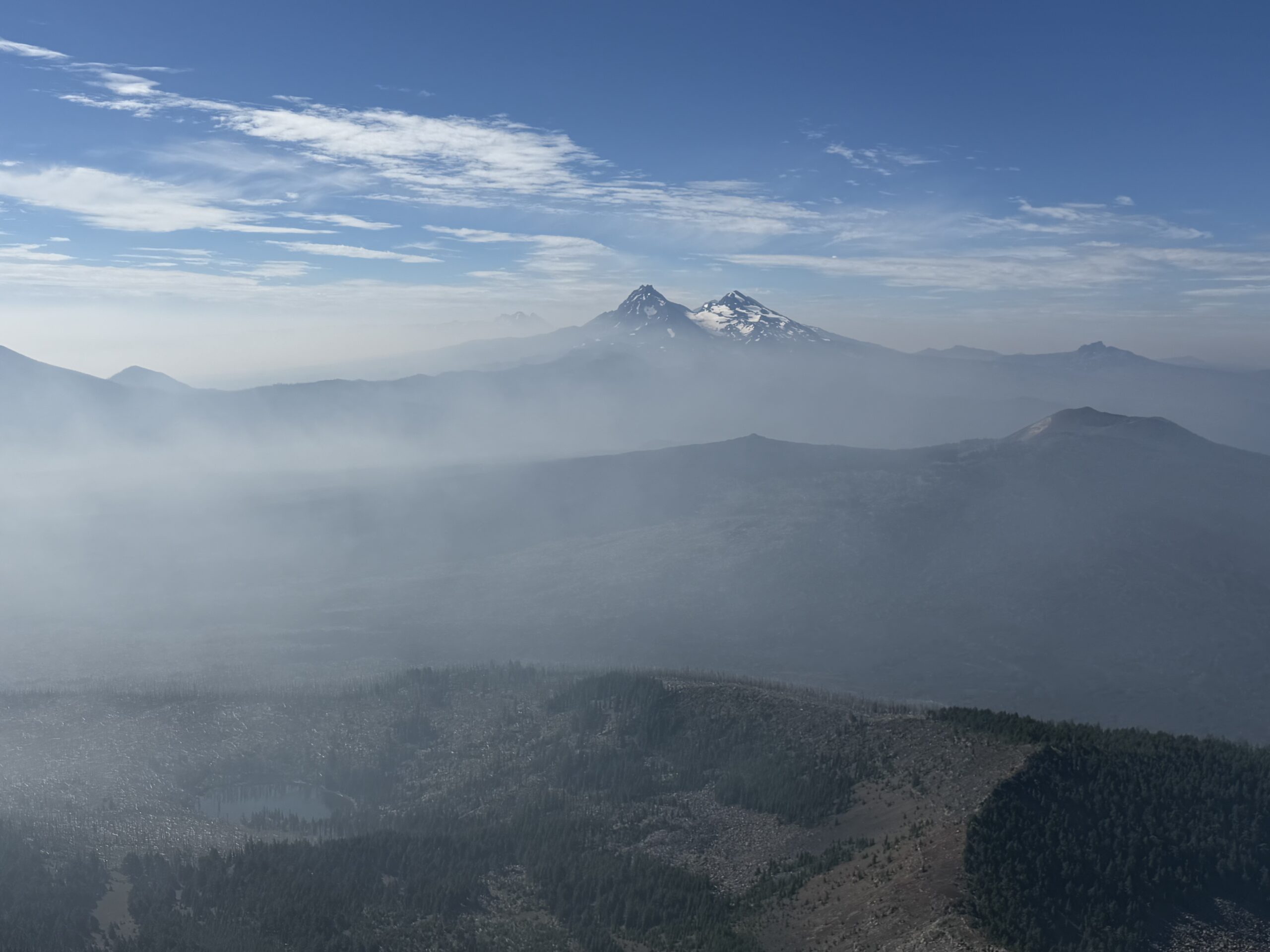
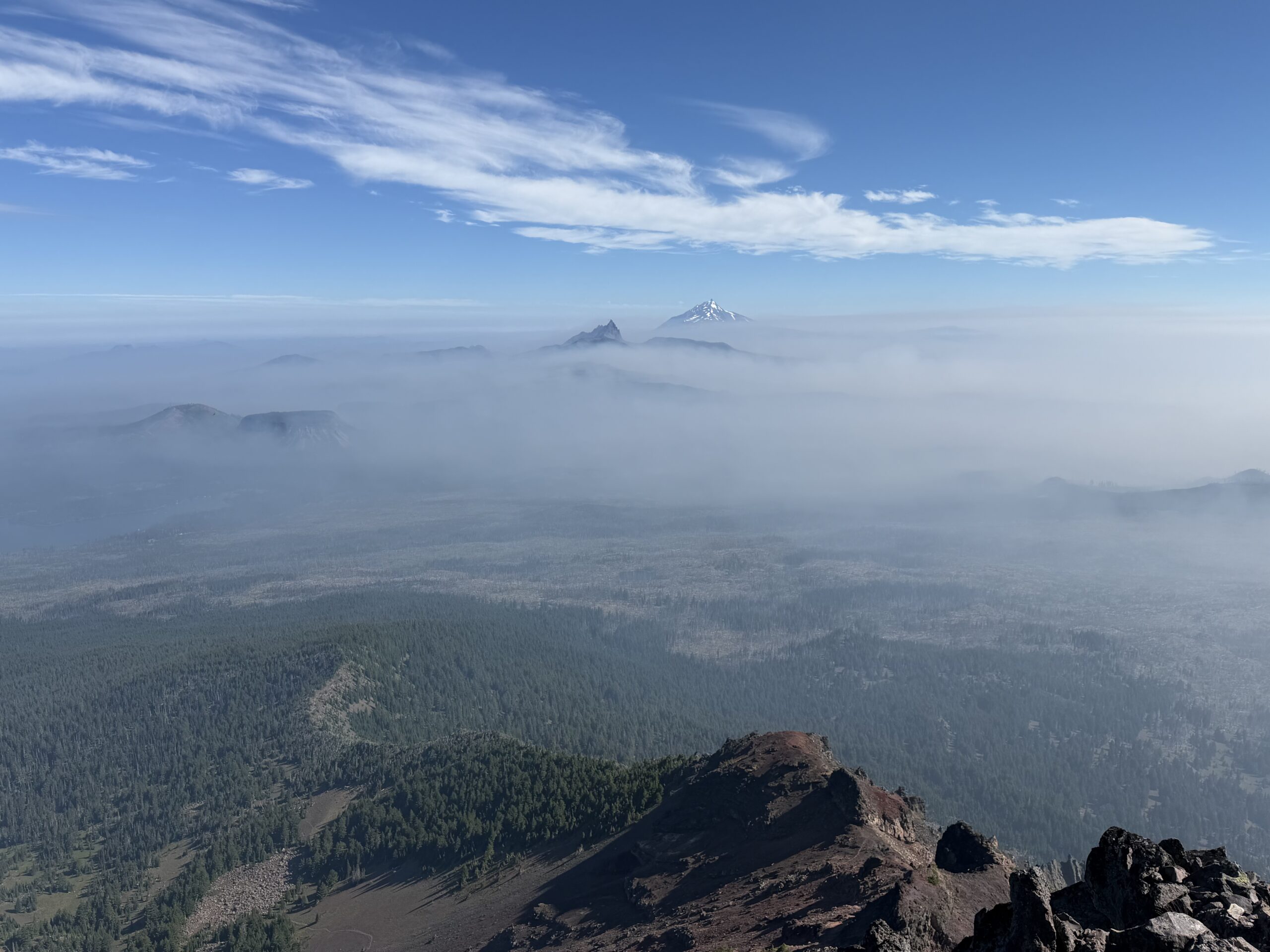
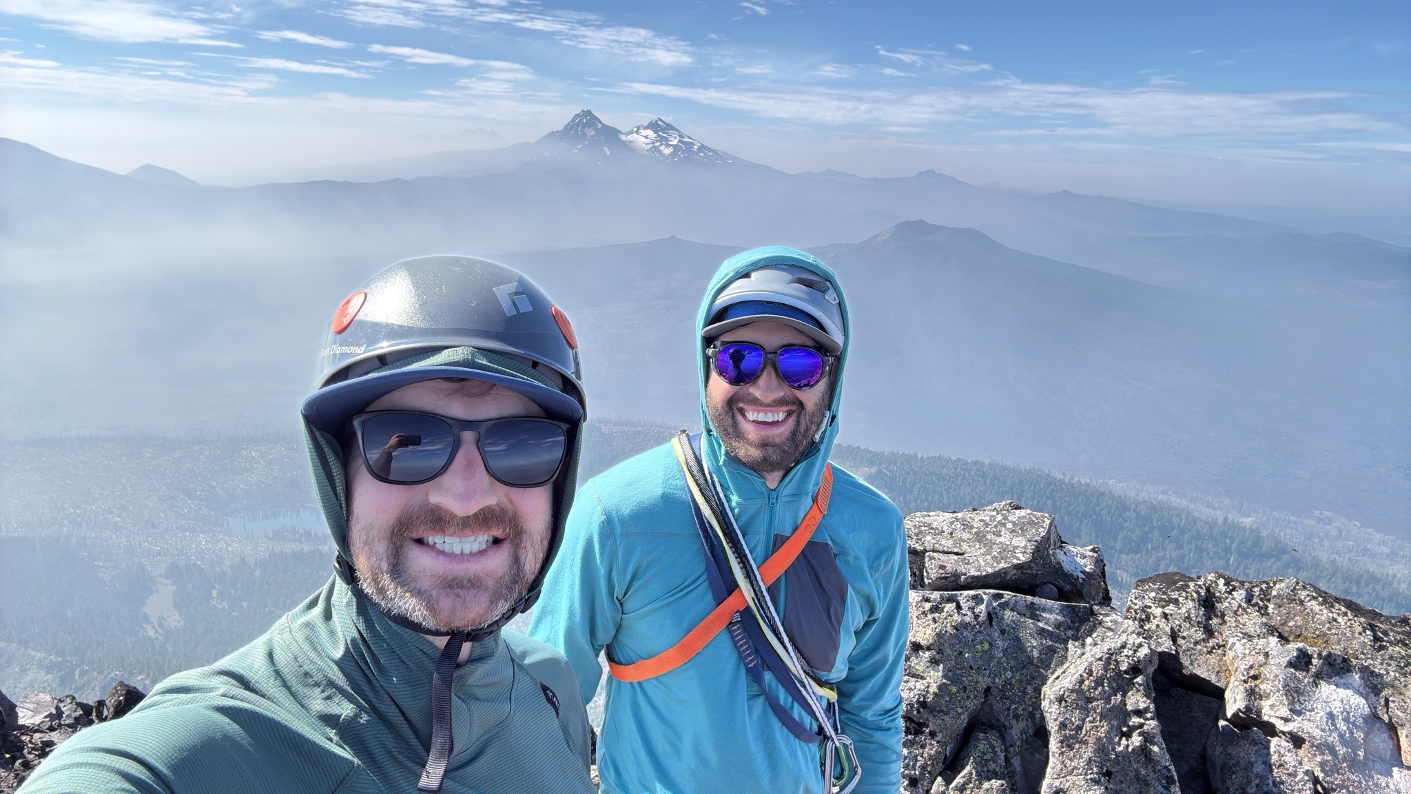
From there, easy class 2–3 scrambling led to the top. I clipped into the webbing and brought Justin up, and the two of us untied and scrambled to the high point. The ascent had taken us only about 4.5 hours from the trailhead. The views were unfortunately smoky, although we could still make out Broken Top and the Three Sisters to the south and Three Fingered Jack and Mount Jefferson to the north. The summit register was missing, so after a few summit selfies, we started our descent.
The first rappel station had brand-new webbing, and I rappelled as far as I could with our 70-meter rope, reaching one of the intermediate stations partway up the second pitch. The tat on that station was a bit more suspect, so I sacrificed one of my cordelettes to the cause. We rappelled to the top of the first pitch after beefing up the rappel anchor. Despite the core shot, the rest of the fixed line seemed to be in great condition, likely newer than my lead rope, so we single-strand rappelled to the start of the technical climbing, where some excellent subs were waiting for us in our packs.
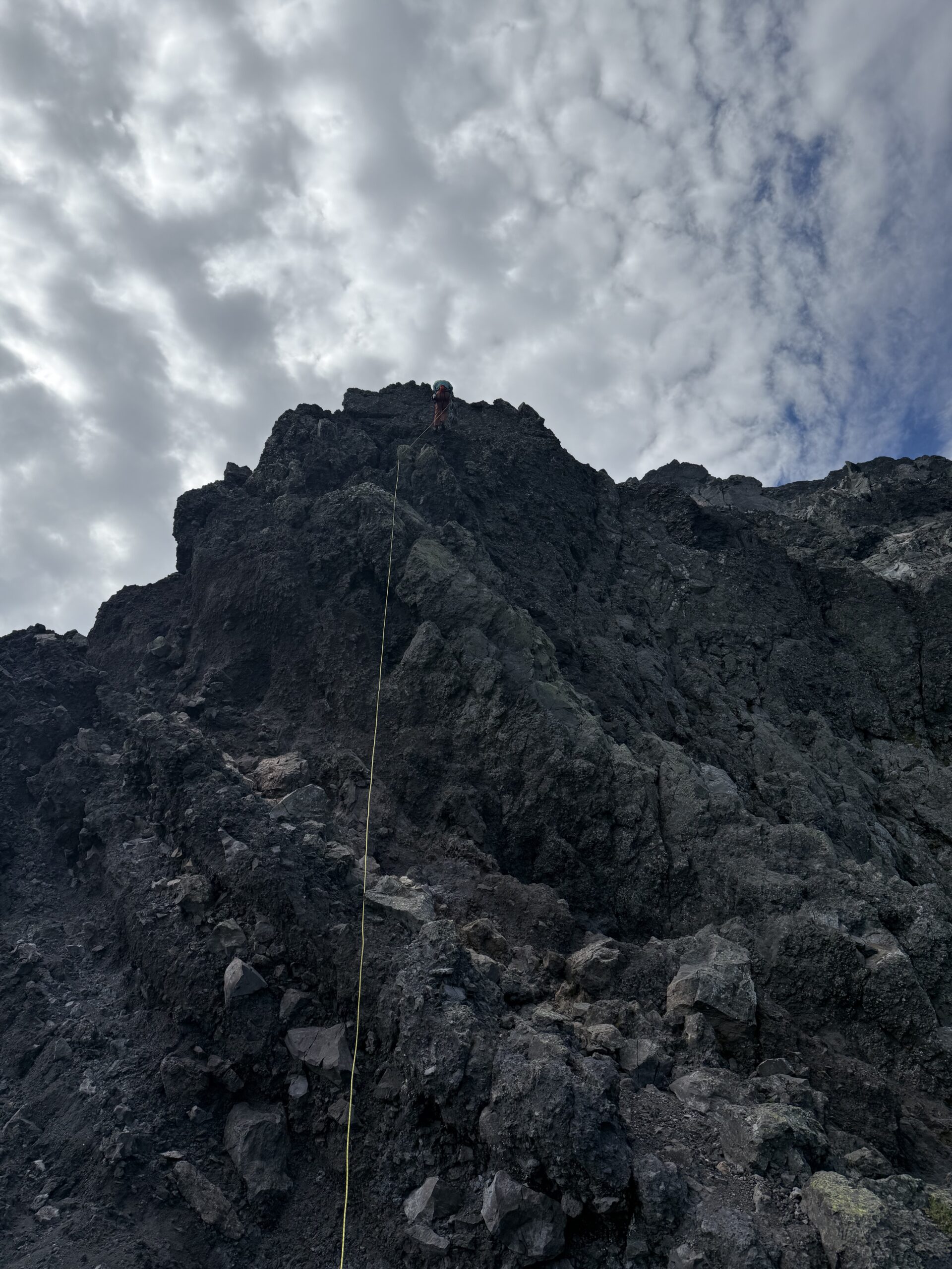
We took a nice lunch break at the notch below the summit plug, debating whether to descend via the ridge or boot-ski the scree down to the PCT. There appeared to be a few cliff bands below us, so we initially started back down the ridge, eventually finding a slope that we could see in its entirety all the way to the forest below. I dropped down first, getting over a few short rock bands before finding a line with perfect, consistent volcanic sand. It allowed us to descend about 700′ in under 10 minutes.
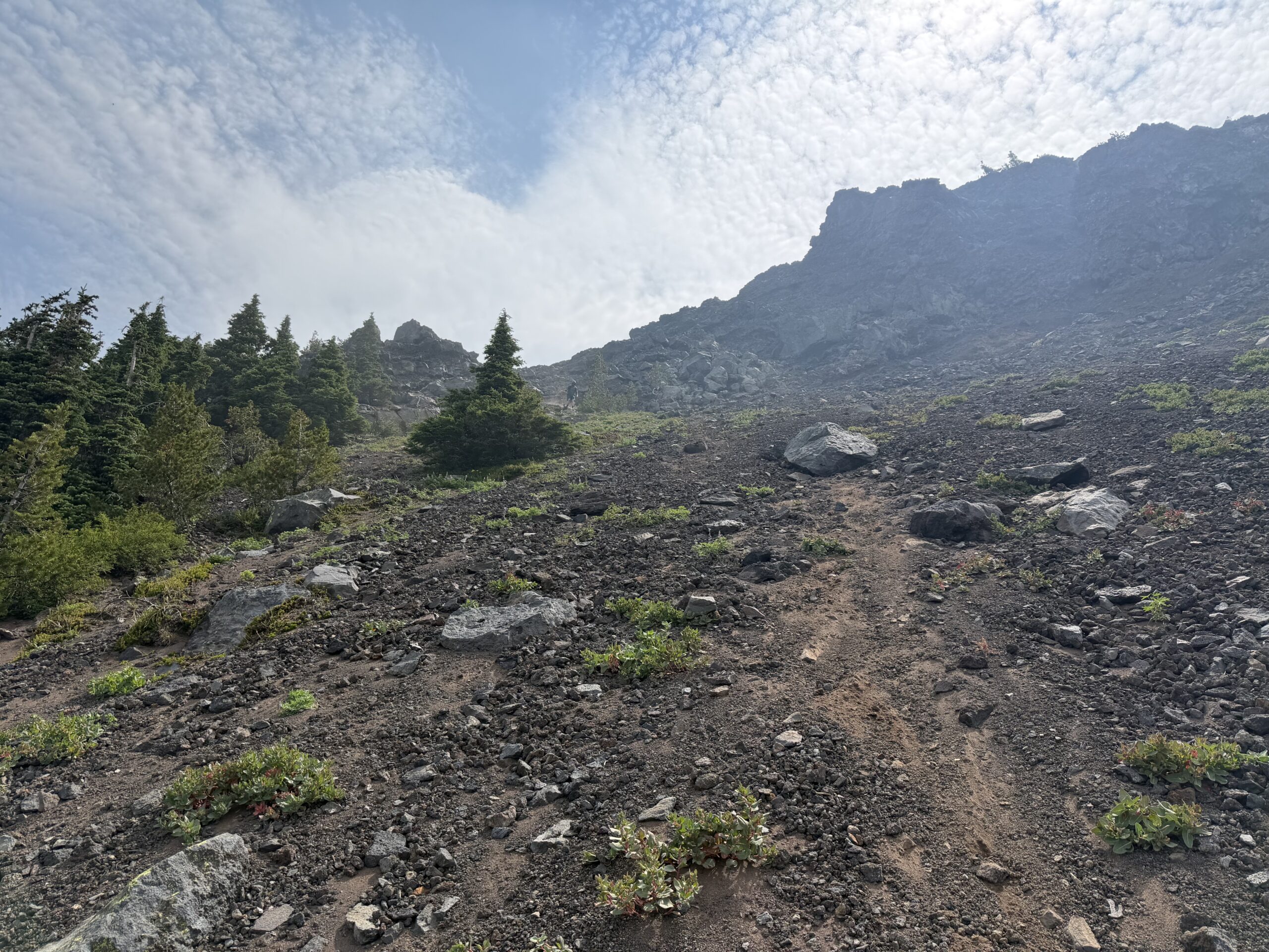
At the edge of the forest, we picked up another climbers’ trail formed by others who had made a similar descent and followed it as it passed in and out of the forest and through smaller pockets of meadow. This eventually intersected with our ascent route about 100 yards from the PCT. We had lost the scattered clouds from the morning and were now in full midday sun as we headed north on the PCT, with essentially no shade for the three miles back to the car through the burn area.
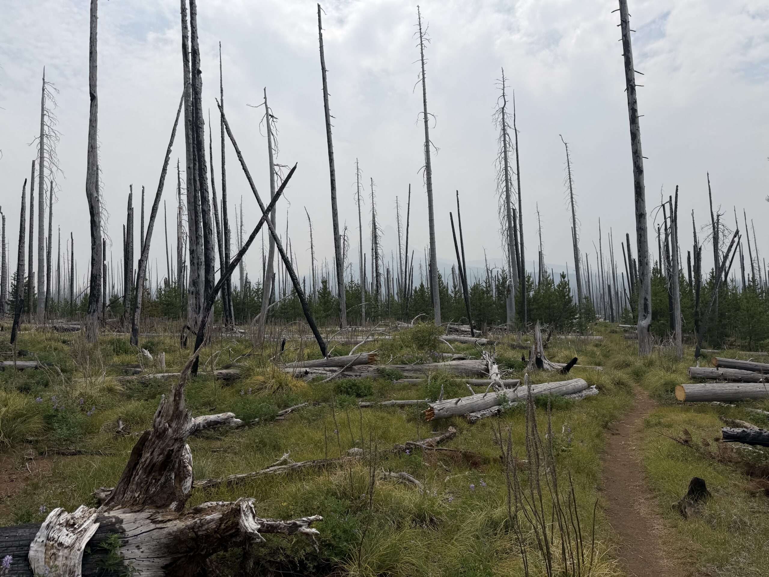
I had been fantasizing about a cold root beer for the last mile, with no water sources anywhere on the climb. Just as the car came into sight, Magic Mike called out from his camper.
“Do you need some trail magic!? We have hamburgers and cold drinks!”
Magic Mike was providing trail magic for PCT thru-hikers who would be coming through around that time. He had set up shop for the next two weeks to raise some spirits along the trail. His wife, who introduced herself as “The Goddess,” showed us two sets of coolers. Inside was an ice-cold root beer floating in the ice, waiting for me.
After the hot finish to the day, it was a very welcome surprise.
We chatted with them for a bit before heading back to Portland for dinner and another early bedtime. It was a fitting end to the first volcano of the trip. The next morning, I’d be heading for volcano #2: Mount Adams.
What magic was in the root beer 😆
I see taking things from strangers lessons didn’t stick 🤦🏼♀️.sounds like a wonderful adventure!
I take candy/ food/ beer from strangers all the time… but no one wants to kidnap me 🤣