
Cedar Mountain 7061′
Total Time: 5 hours
Roundtrip Mileage: 8.6 miles
Elevation Gain: 1900′
Crux: Class 2
Trailhead: Cedar Mountain Rd. near Desert View
Companions: Holly
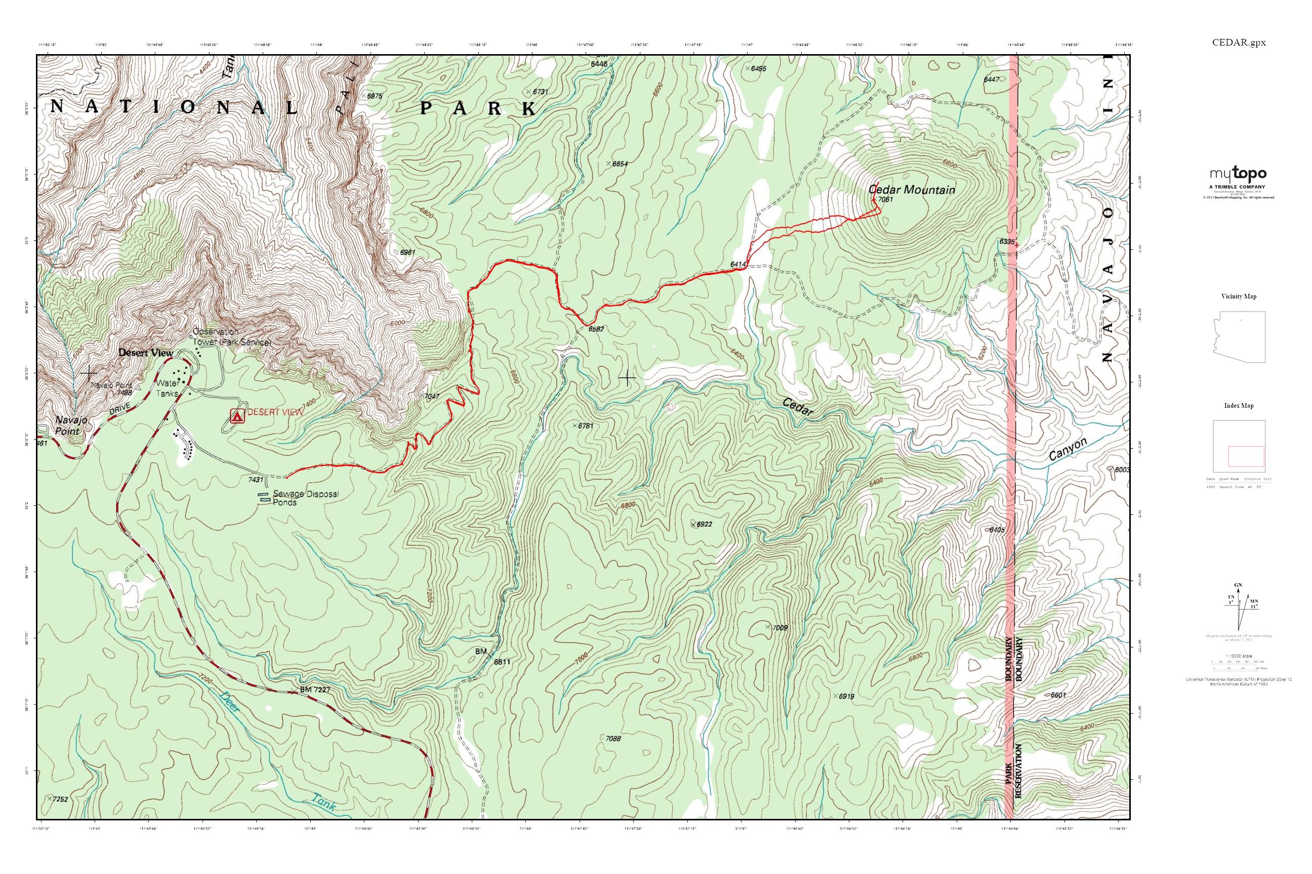
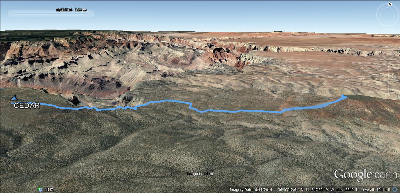
Cedar Mountain, located in the Southeast corner of Grand Canyon National Park, is one of the few summits within the park that has the appearance of a true mountain. Rather than a rock formation, spire or butte off the rim that requires an initial descent into the canyon, Cedar Mountain is a large cinder cone from the San Francisco Volcanic Field sitting about 1 mile from the South Rim. I had been 0/2 on getting Holly on a Grand Canyon summit (Oza Butte and a horrendous bushwack on Kibbey) and wanted to finally get her to the top of something in the park. We spent the night in Flag and headed east towards Cameron to enter the park via the Desert View entrance. Minimal beta online suggested parking in the large Desert View parking lot and walking through the campground to pick up a use trail at campsite #20. Instead, I drove down Cedar Mountain Road past the ranger residential area and into a dirt pull out about 0.25 miles down the start of the dirt road, saving about 0.7 miles of walking through campground each way.
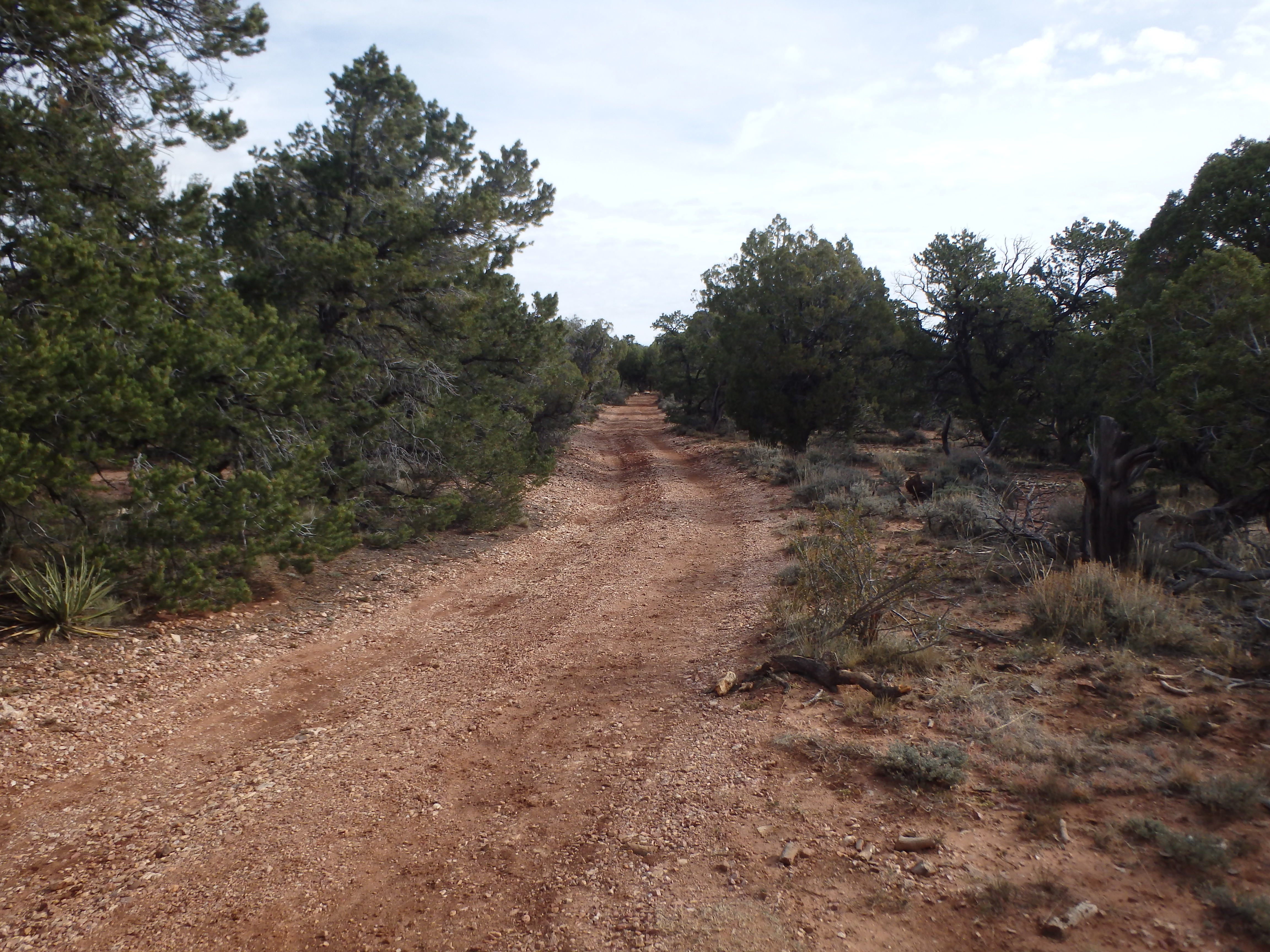
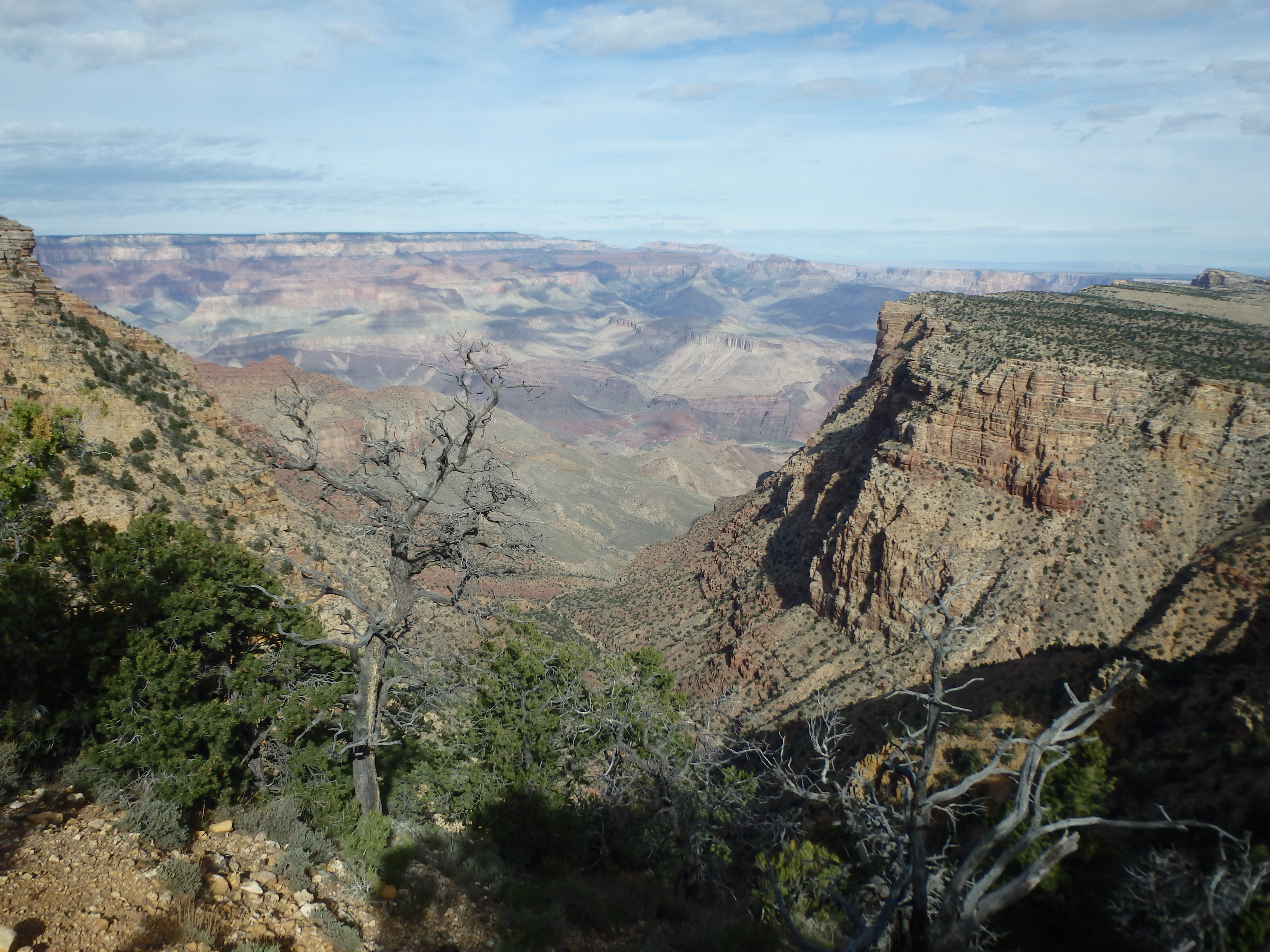
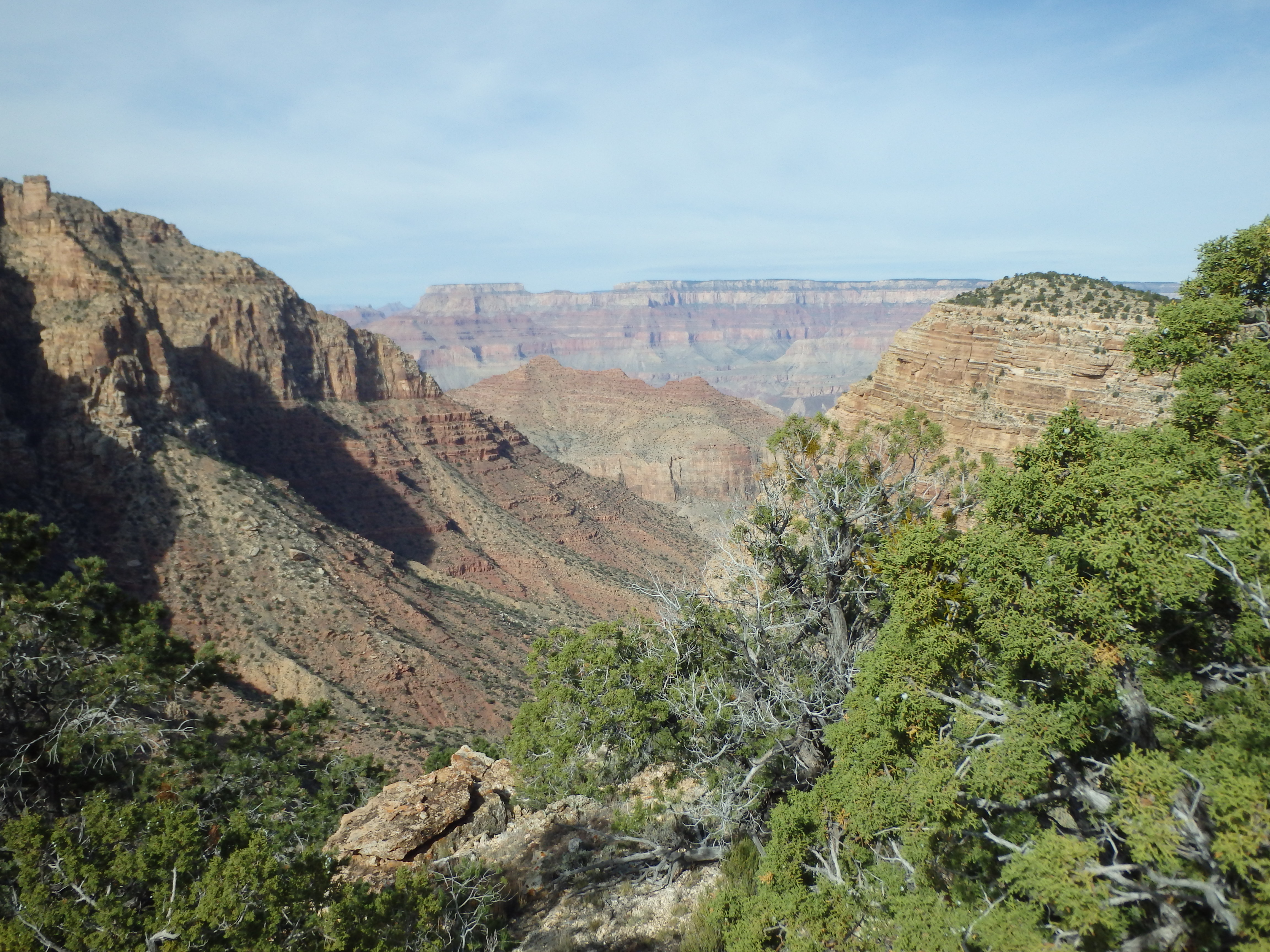
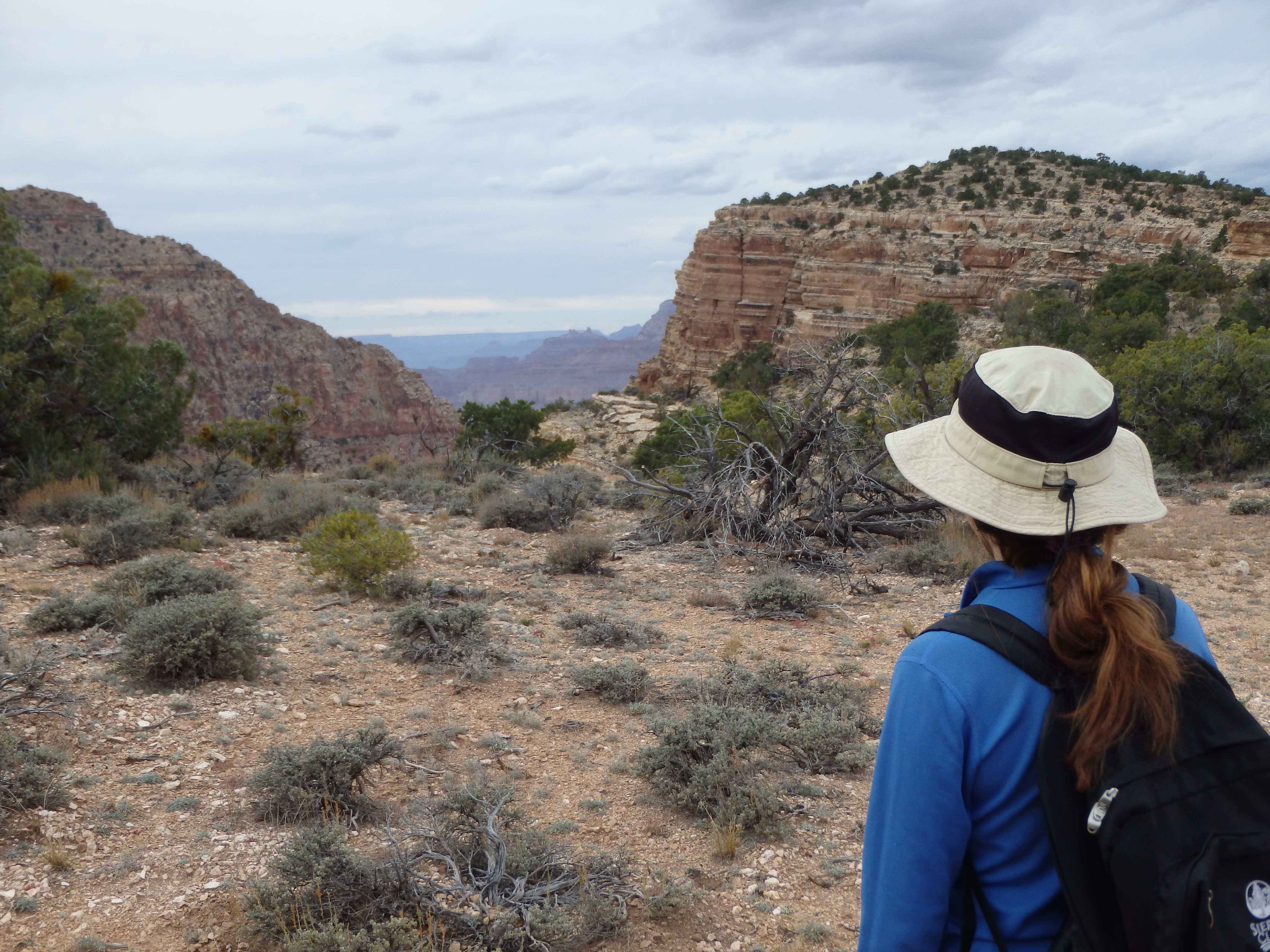
It was unclear of the legality of this as it seems this road is open to traffic, although a sign does say authorized vehicles only in the residential area. Regardless, we parked part ways down the fireroad before it became too rough and started out towards Cedar Mountain. The hike started out as a pleasant stroll through Pinyon Pine and Juniper, where we would remain much of the day. The road started a gradual descent, and as we reached our first clearing I was a bit surprised at how far Cedar Mountain looked, and the sizeable gap in between. Although the descent isn’t very steep, closer examination of the map showed a nearly 1000′ drop from where we parked to the low saddle. So much for a GCNP summit that didn’t start with a big descent… While the descent meant an enjoyable climb back to the car, this section was one of the most pleasant parts of the hikes, and descends a shallow ridge with the South Rim of the canyon immediately to the north.

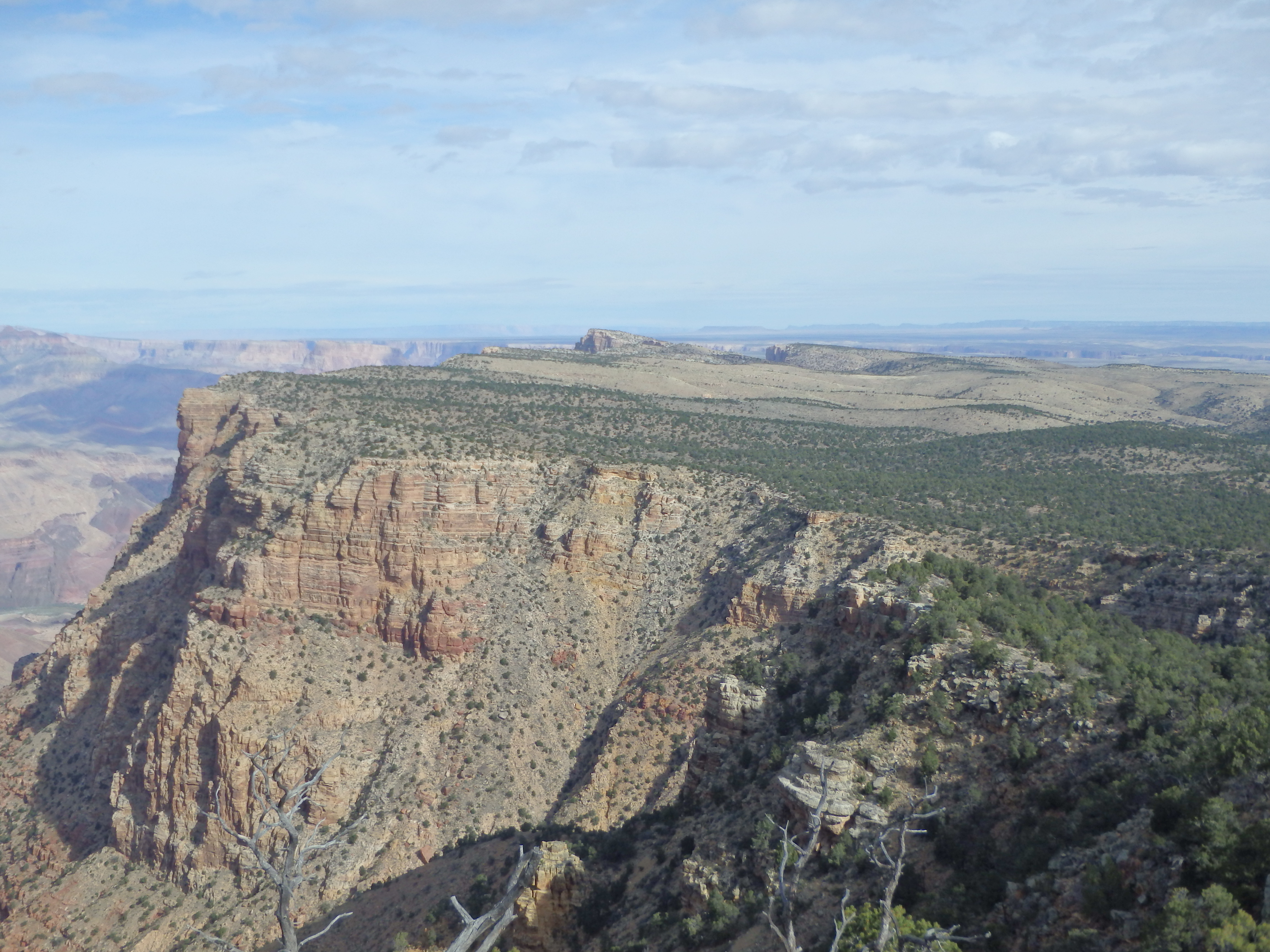
We stopped a number of times for pictures and a short break before reaching the first and only junction of the day at 2.3 miles from the car, or roughly 3.0 miles for anyone that started at Desert View. To the left is an old, longer overgrown road headed towards Point Solitude. A sign indicates only foot traffic beyond that point north. To the right was our route, and the fire road briefly hooked south before taking a directly line towards Cedar Mountain. While we hoped to see some rutting elk in this section of Juniper and Pinyon Pines, we had no such luck, with a smattering of jackrabbits and a very bold tarantula.


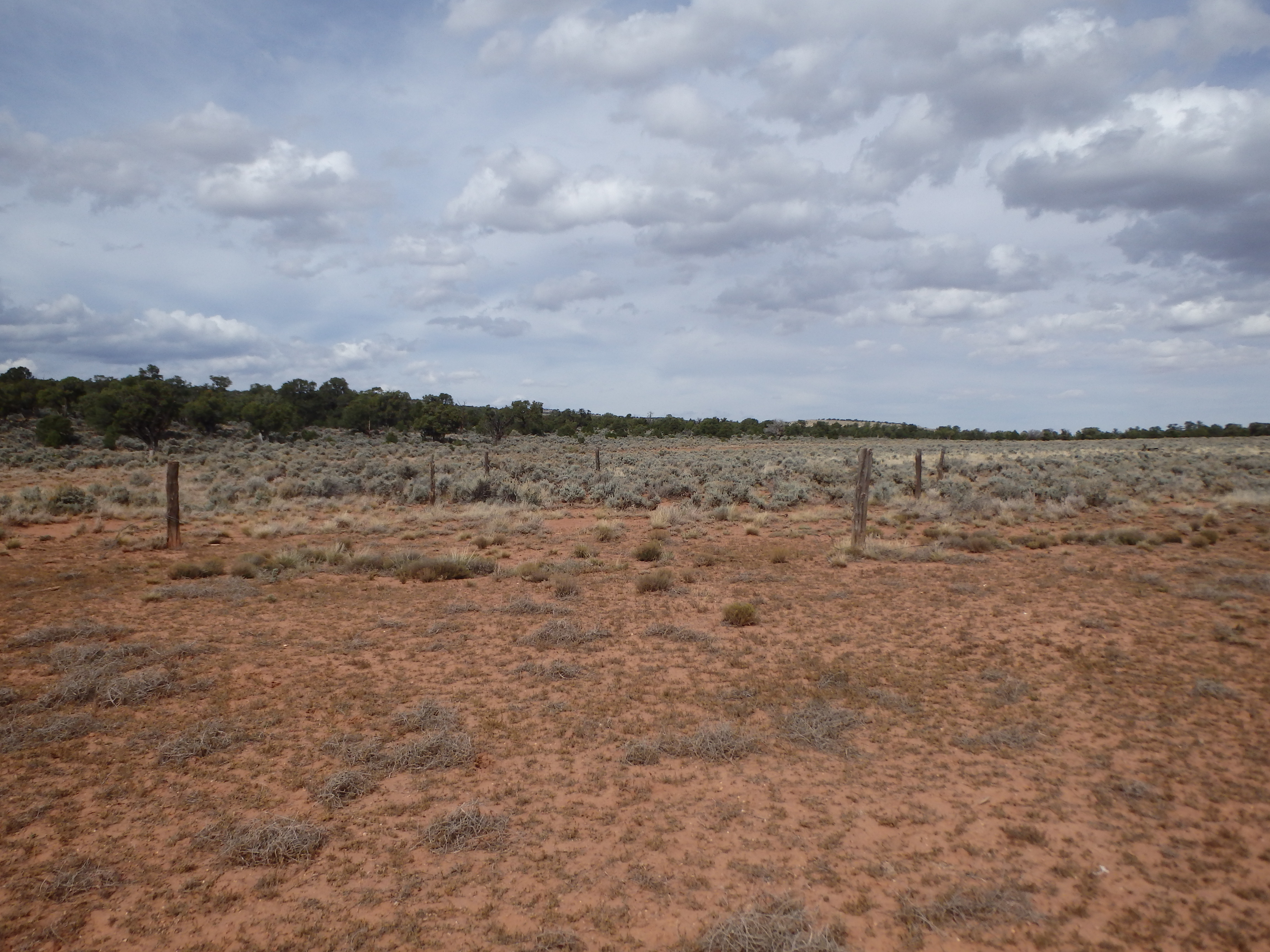
At around 3.5 miles the road entered an open prairie at the base of Cedar Mountain and the remains of an old corral from long before the Grand Canyon was a National Park. The road splits around Cedar Mountain, so we set out cross country directly up slope towards the summit, aiming for an open grassy patch about halfway up.

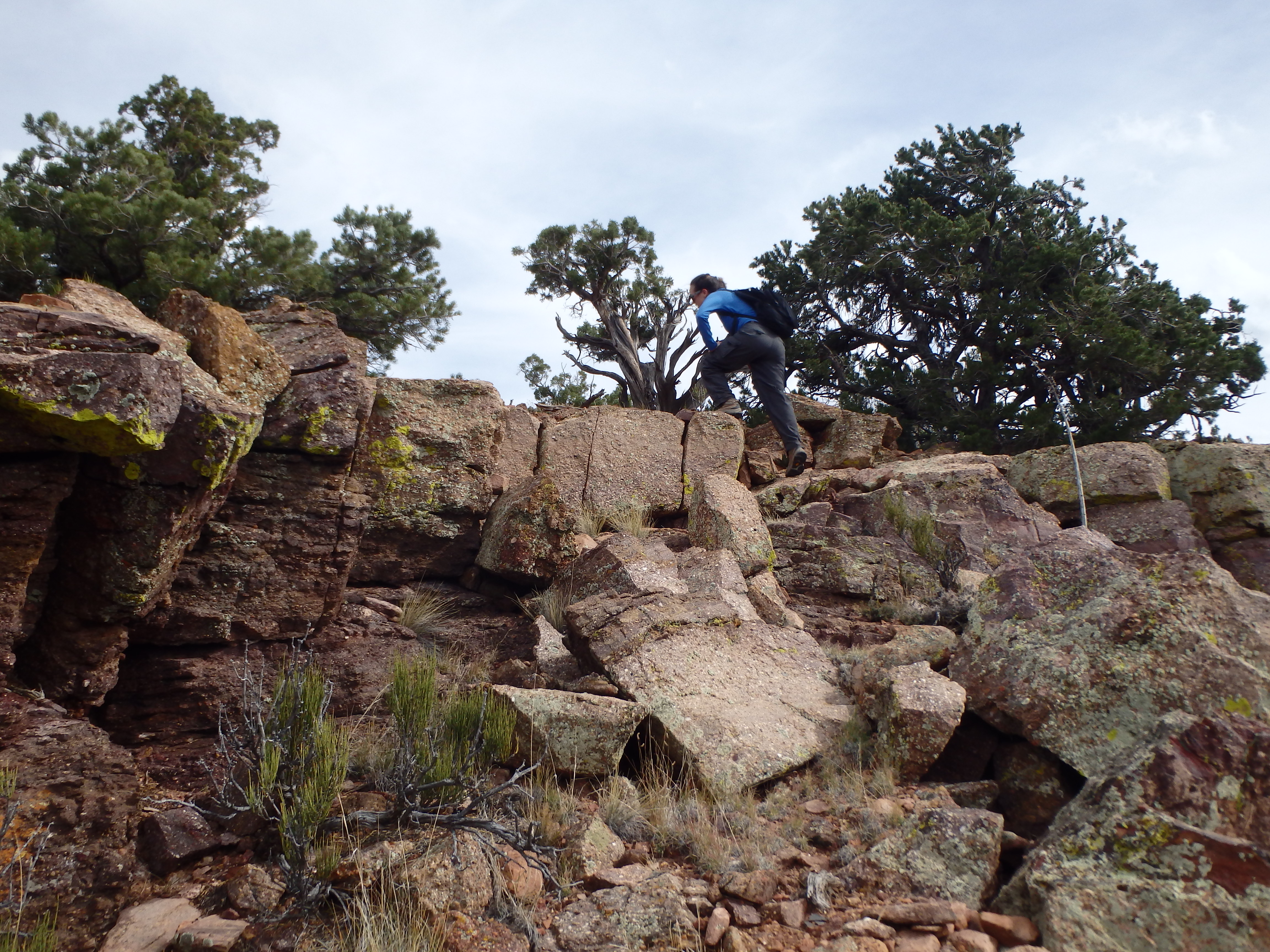
There were scattered prickly pear and other cacti studded in the grass, but overall the cross country was easy (at least for AZ) and we reached the summit “cliffs” in about 20 minutes. While the largest cliffs were only about 10′ high just below the summit, for the most part they were fractured with short simple class II to the right of the summit to bring us to the plateau.
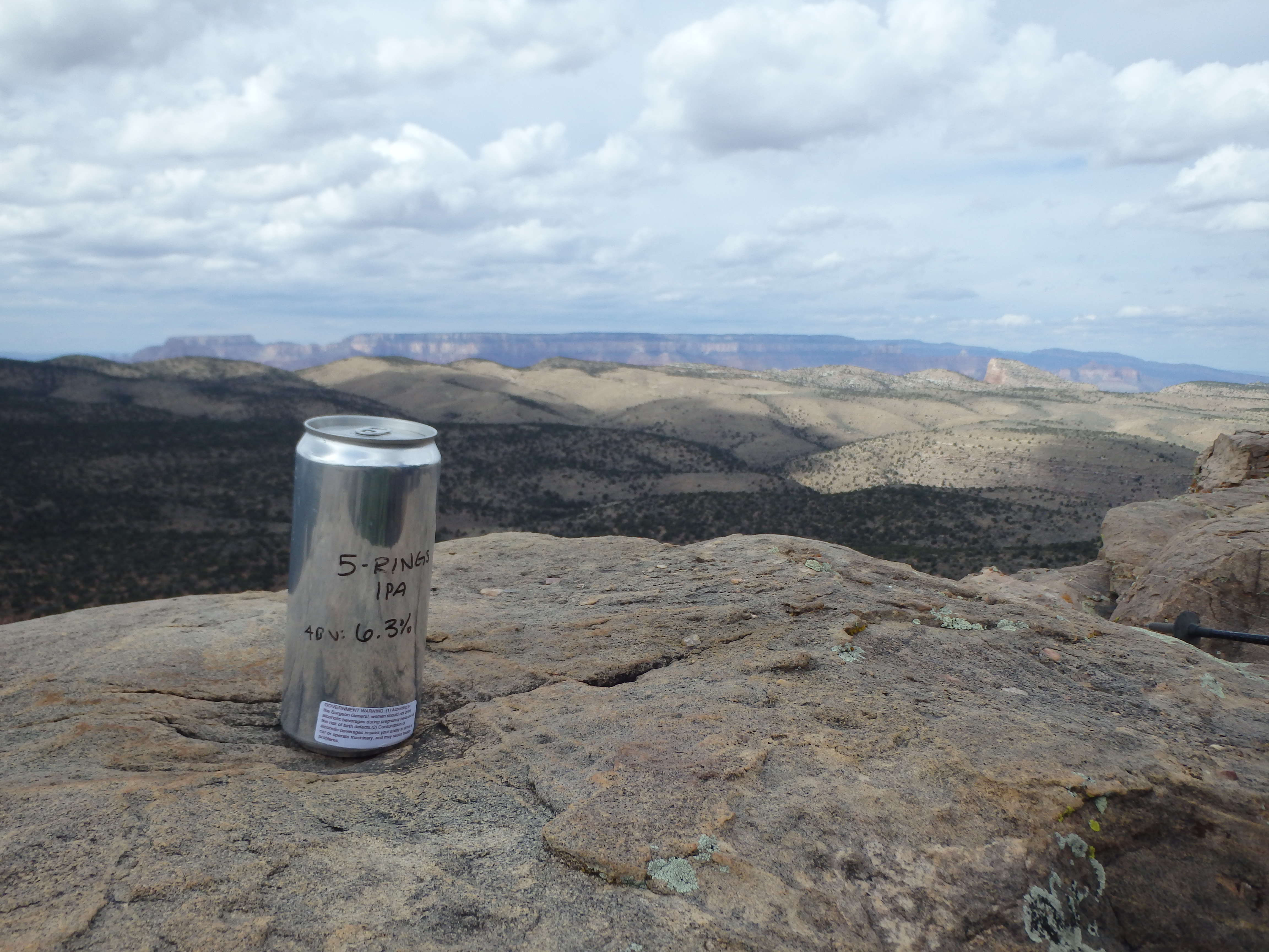
From there it was a short walk to the high point on the summit rim, well positioned on the NW side directly facing the Grand Canyon. We dropped our packs and I dug out the summit register, surprised to find only two people had visited the summit since October 2015. I opened up a Crowler of 5 Rings IPA from Dark Sky Brewery, and we spent a long time at the summit, enjoying the views, isolation and beer.

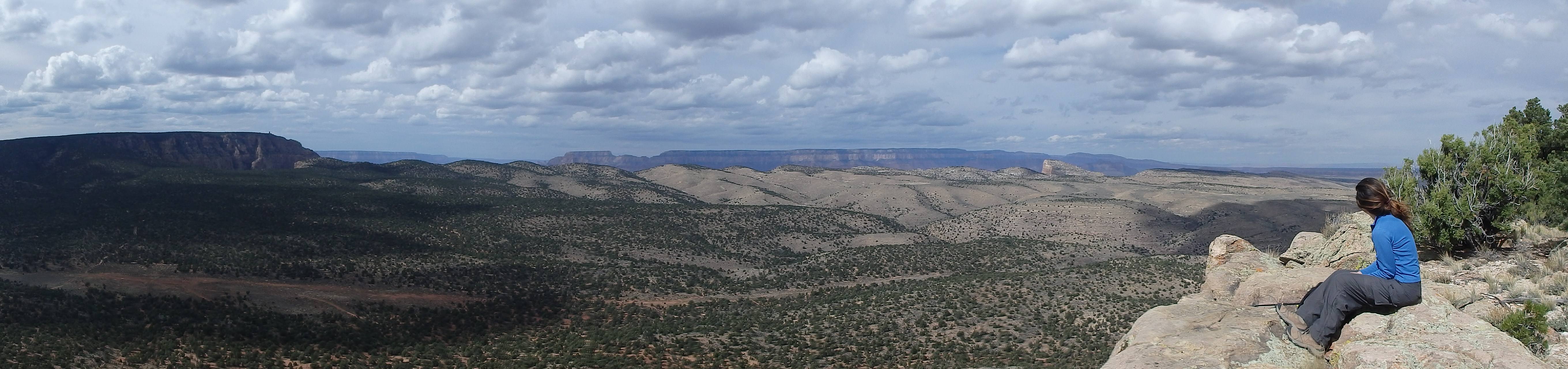
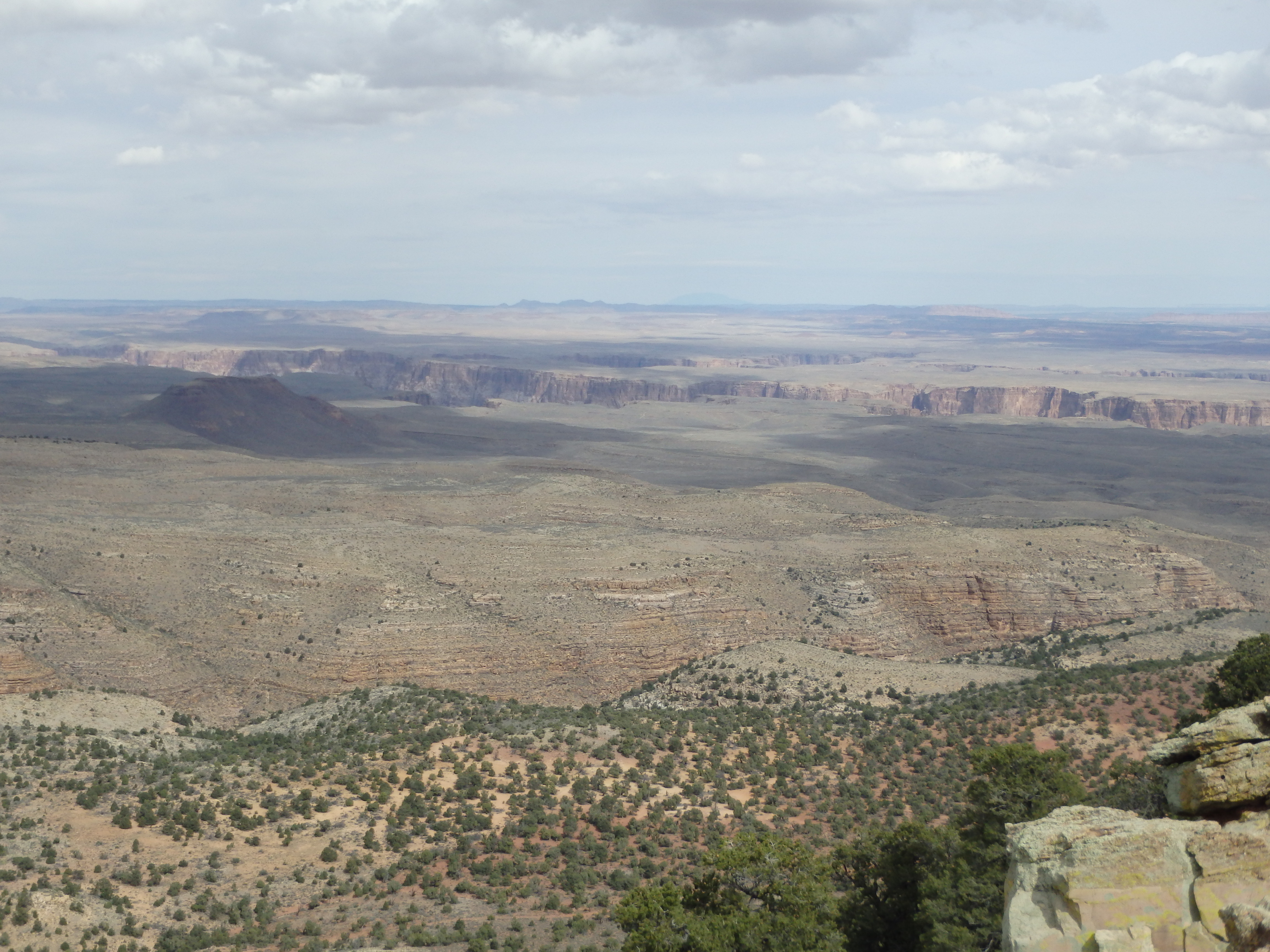

Walking along the summit rim to the north, you could see the confluence of the Little Colorado and Colorado Rivers, the site of a proposed casino and tramway to the river. Sad to envision such an eyesore on the rim… After a good hour (no need to rush the beer) we dropped off the summit, our work cut out for us with 1000′ of ascent back to the car. But with greasy burgers in Flagstaff in mind, we wasted little time cutting down the grassy slopes back to the fire road. Passing the same tarantula on the way out, we paused briefly for another glimpse of the inner canyon before continuing up the switchbacks to our car to head to Lumberyard Brewery and a Vietnamese Burger.
The signs indicating foot traffic only beyond this point answers your legality issue for you.
You could have drove 90% of it.
These roads are there to access the features.
Solitude Point TH and the Blue Springs Route TH are accessed via 6120.