
Coronado Butte 7162′
Total Time: 3.5 hours
Roundtrip Mileage: 4.2
Elevation Gain: 2400′ (1100′ on the return)
Crux: Class 3
Trailhead: New Hance Trail


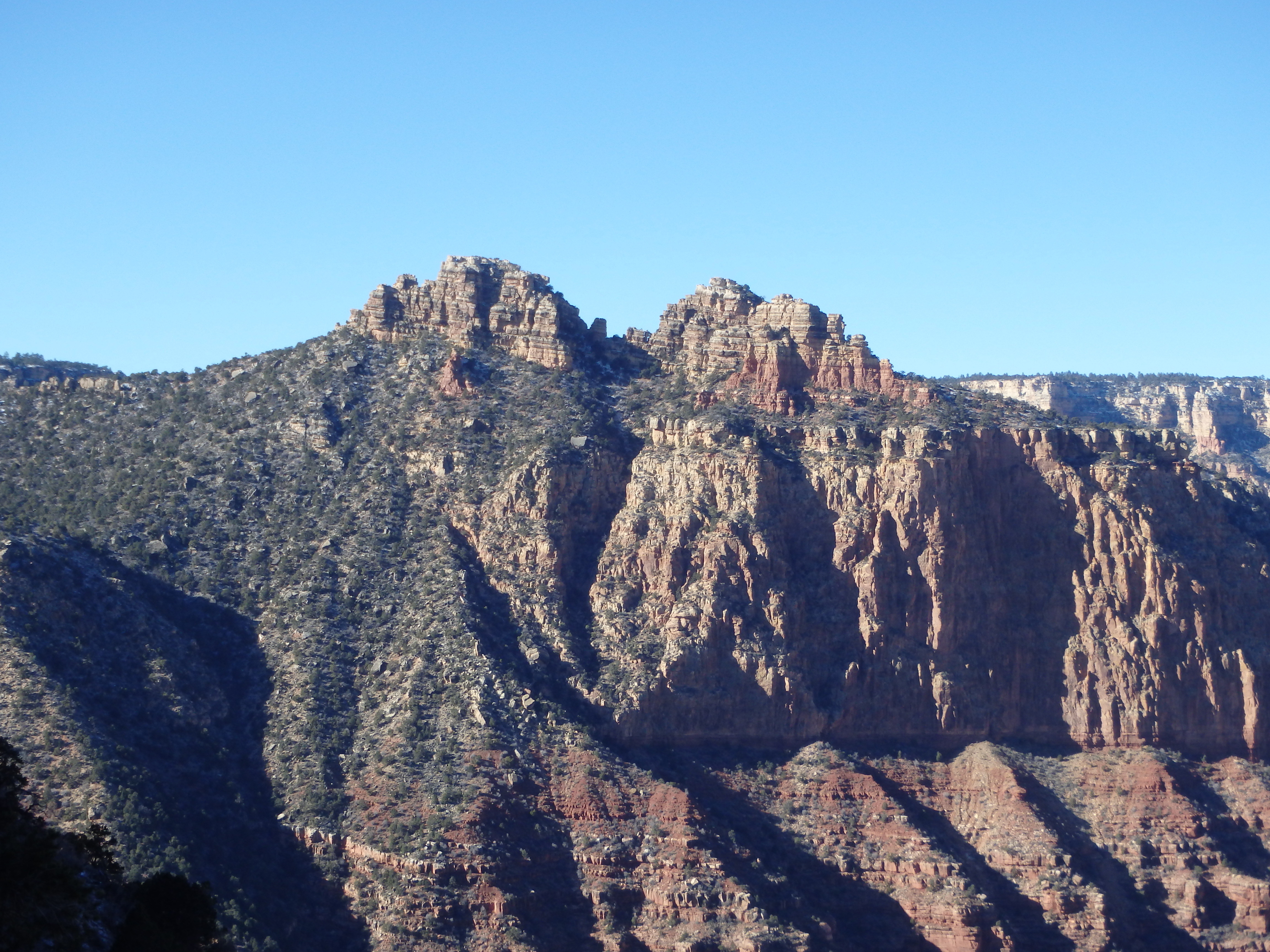
After Cedar Mountain in October, I assumed I wouldn’t make it up again to the Grand Canyon until the new year. But an unexpected trip north for the holidays to show the Canyon to family bought me some time to sneak away for a quick summit. Knowing I would have to move quickly, I wanted something that didn’t involve a huge descent. A mild winter storm had moved through the week before, so I also wanted to avoid any class IV that might have some lingering ice. After scouring the maps, I decided on Coronado Butte, a striking summit that is unfortunately hidden from many of the viewpoints along the south rim. I had my wife drop me off at the New Hance Trailhead, completely hidden and unsigned. Being the least maintained trail on the south rim, it seems the park service wanted to discourage exploration in this section as much as possible. I told Holly to come back in 4 hours, and they headed back west towards the village. The trail was briefly in pinyon pine and juniper, but I quickly reached the rim and had my first view of Coronado Butte.

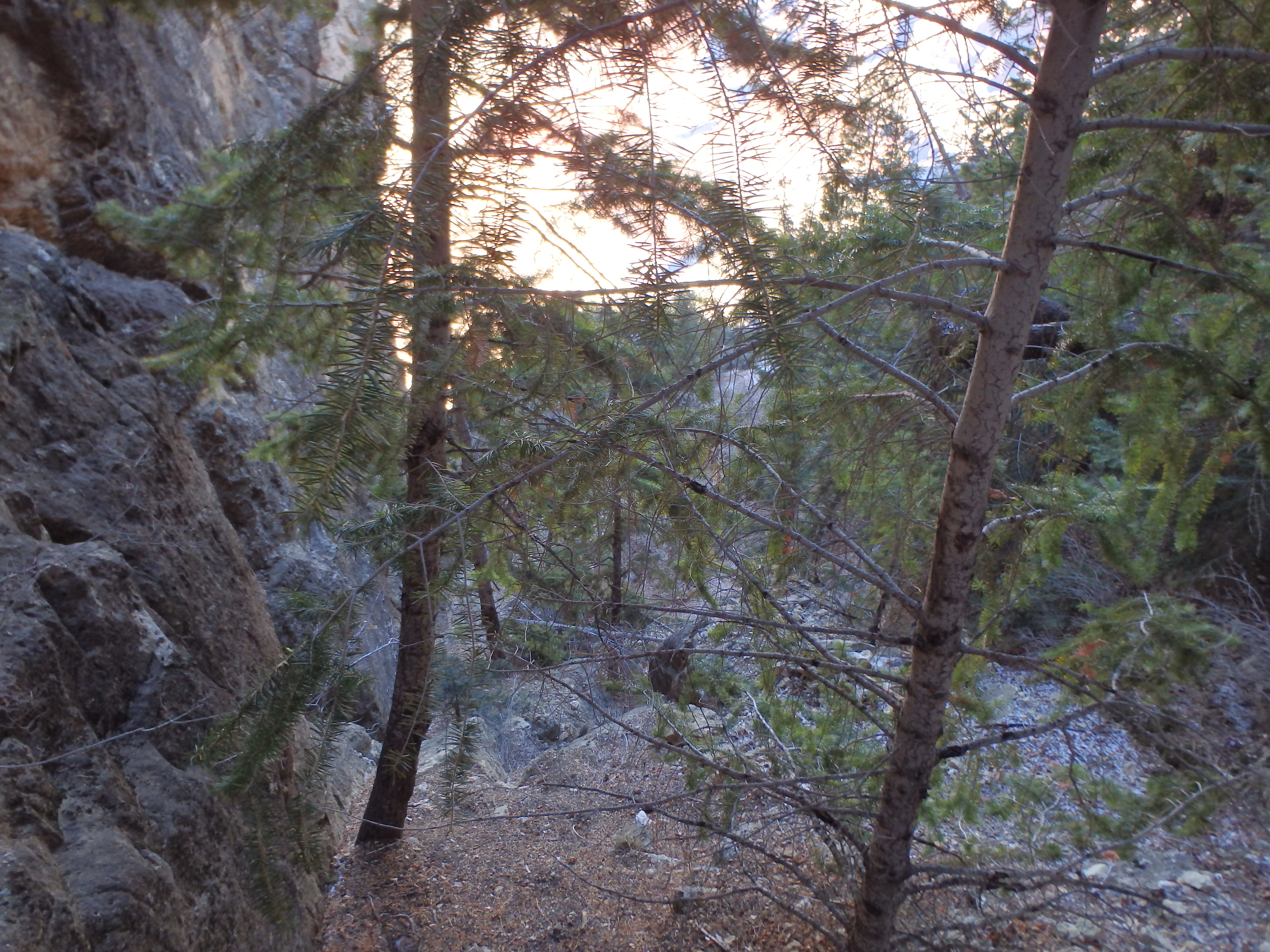
I was surprised by just how much descent was required, with over 1000′ to the connecting saddle. The upper reaches of the trail had a significant amount of ice, more than I expected given the warm temperatures we had the week before. It wasn’t the first time I had to contend with ice on the South Rim (Cheops Pyramid the February prior), but I did not have microspikes with me, and the New Hance Trail is considerably steeper than the South Kaibab. Because of this, I had to move cautiously and slowly over steep, icy sections. As I descended, the ice thinned and eventually disappeared about 1/2 way to the saddle. The trail switched aggressively down and slowly traversed below the saddle I was aiming for. I picked a spot to leave the trail, and with a bit of easy cross country I hit the saddle about 35 minutes from the start. Above was a nice look at Sinking Ship, another climb for another day. Finally in the sun, I shed some layers and eyed the route ahead- a narrow ridge of sandstone slabs with the occasional cliff band to work through.

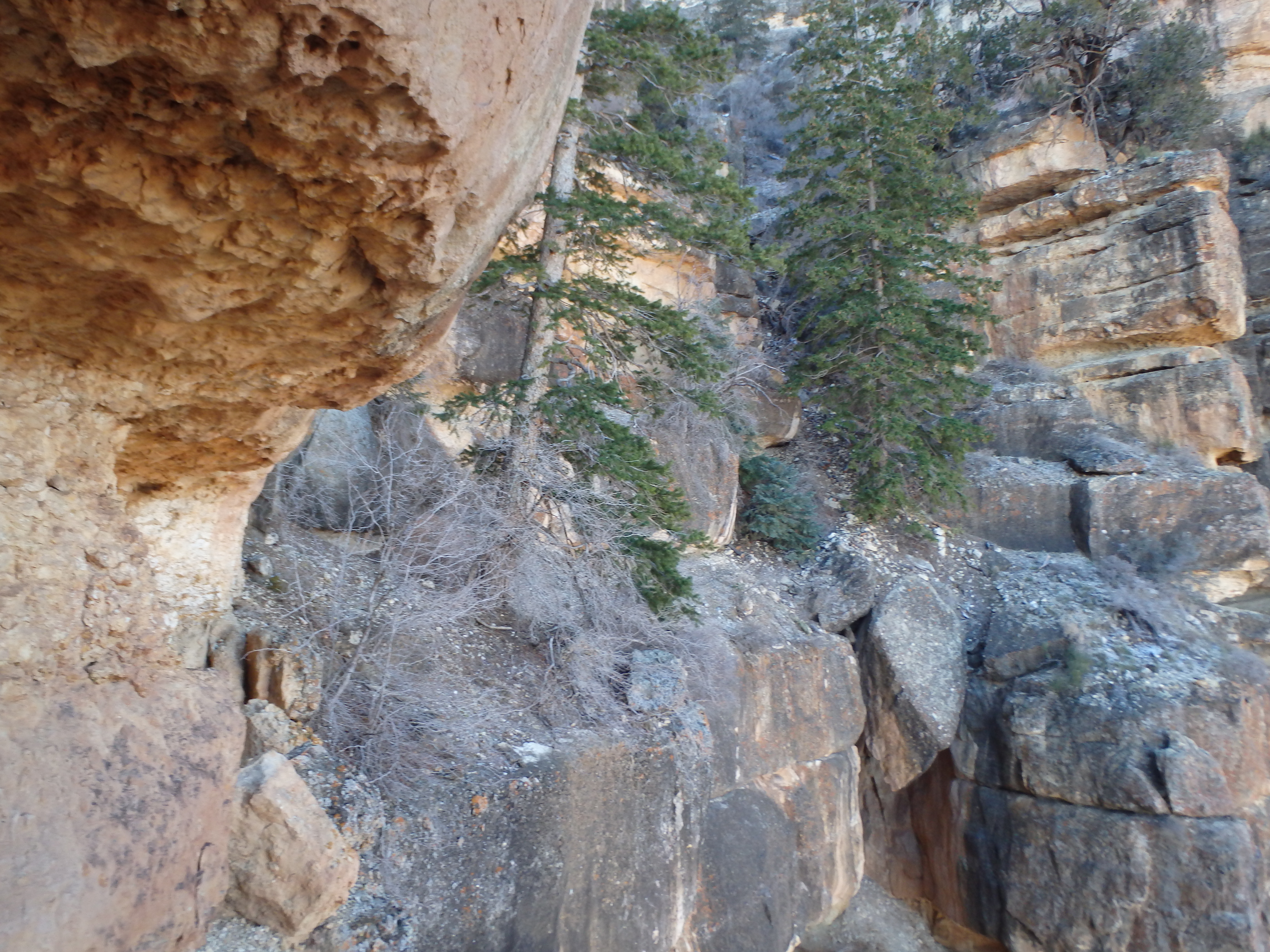
With a four hour deadline looming, I couldn’t waste much time and started up the ridge. The scrambling was mostly class II, hopping from slab to slab and cheating to the east side to avoid some obstacles along the route. The largest cliff band lay just before a narrow plateau beneath the summit. While it looked like several cracks could be climbed directly, a use trail skirted east, and I followed this to a prominent gully with a large pine tree partway up. Reaching the plateau, it was clear that climbing the cracks directly would have left me stranded at the top of a gendarme hanging off the cliff band, and the gully up was the best option.


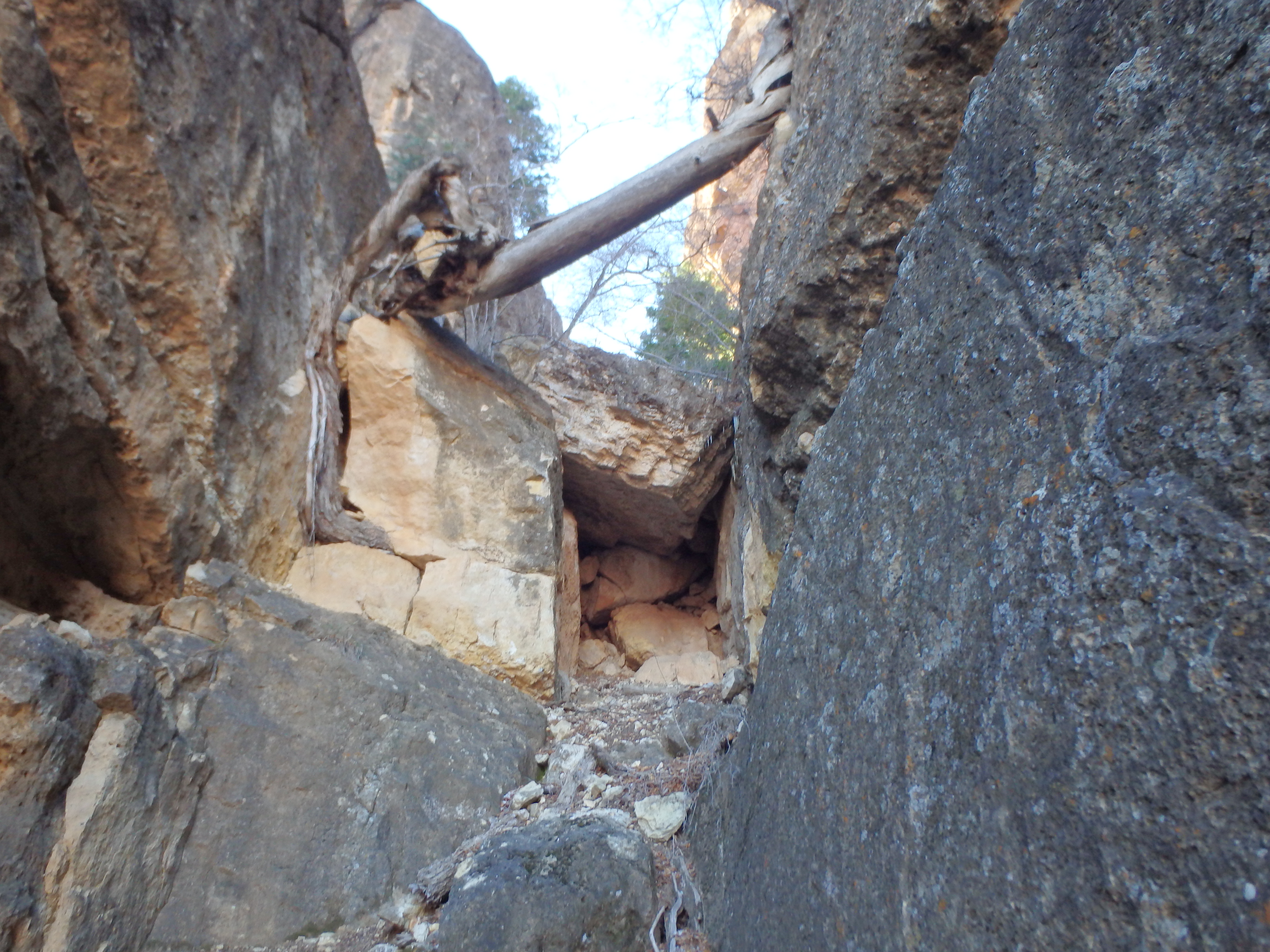
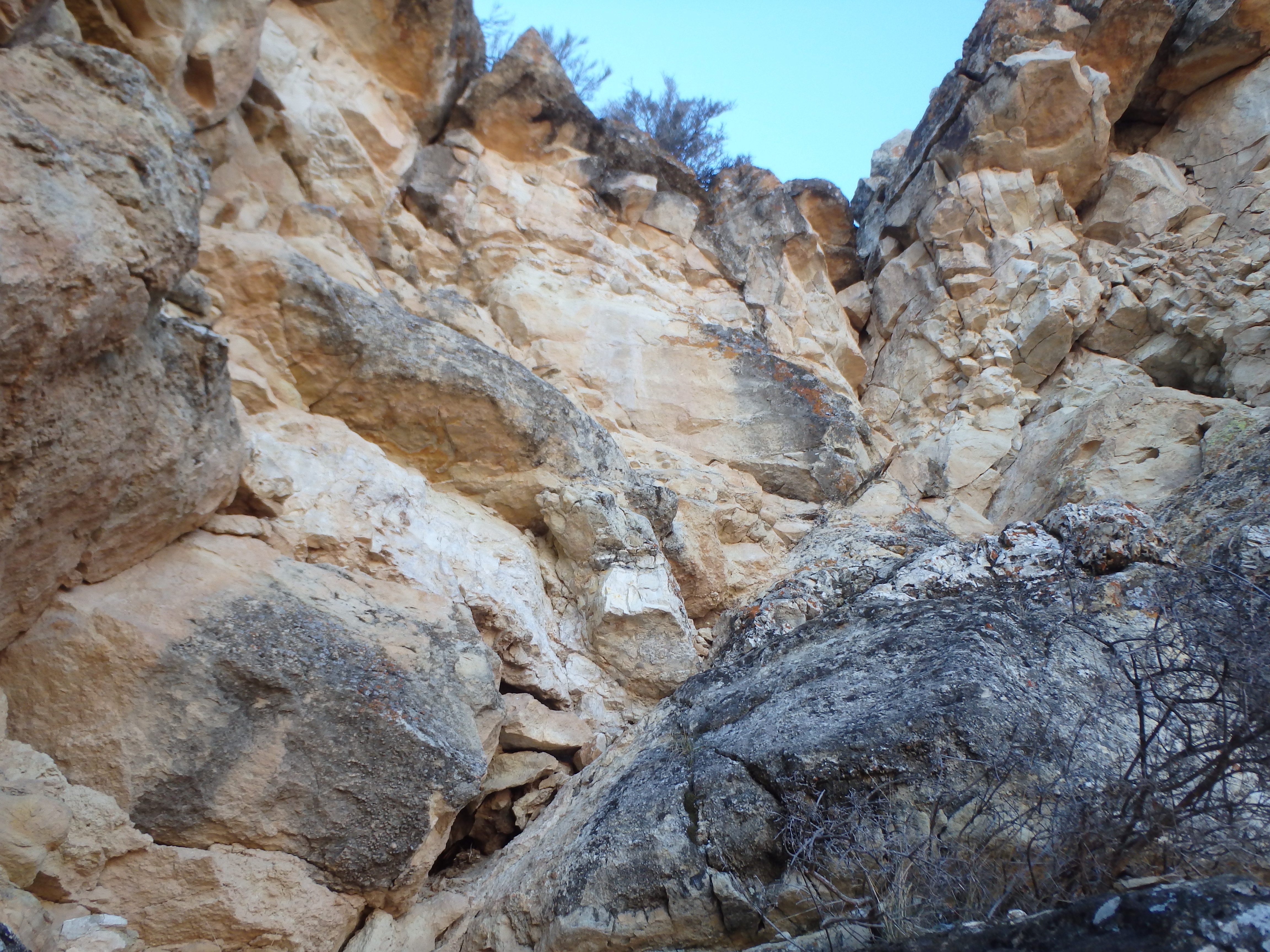
Looking at my watch, it had taken 15 minutes from the saddle to reach the plateau, and I was pleased with my time as I closed in on the butte. The beta I had read beforehand said the route up was via several prominent chutes on the east face. The question was, which chutes were the 3 in question? As I approached the base, I immediately got too high on the talus and had to back down to work further around to the east face. Crossing past a prominent eastern rib of rock, the three chutes revealed themselves, very deep and obvious.

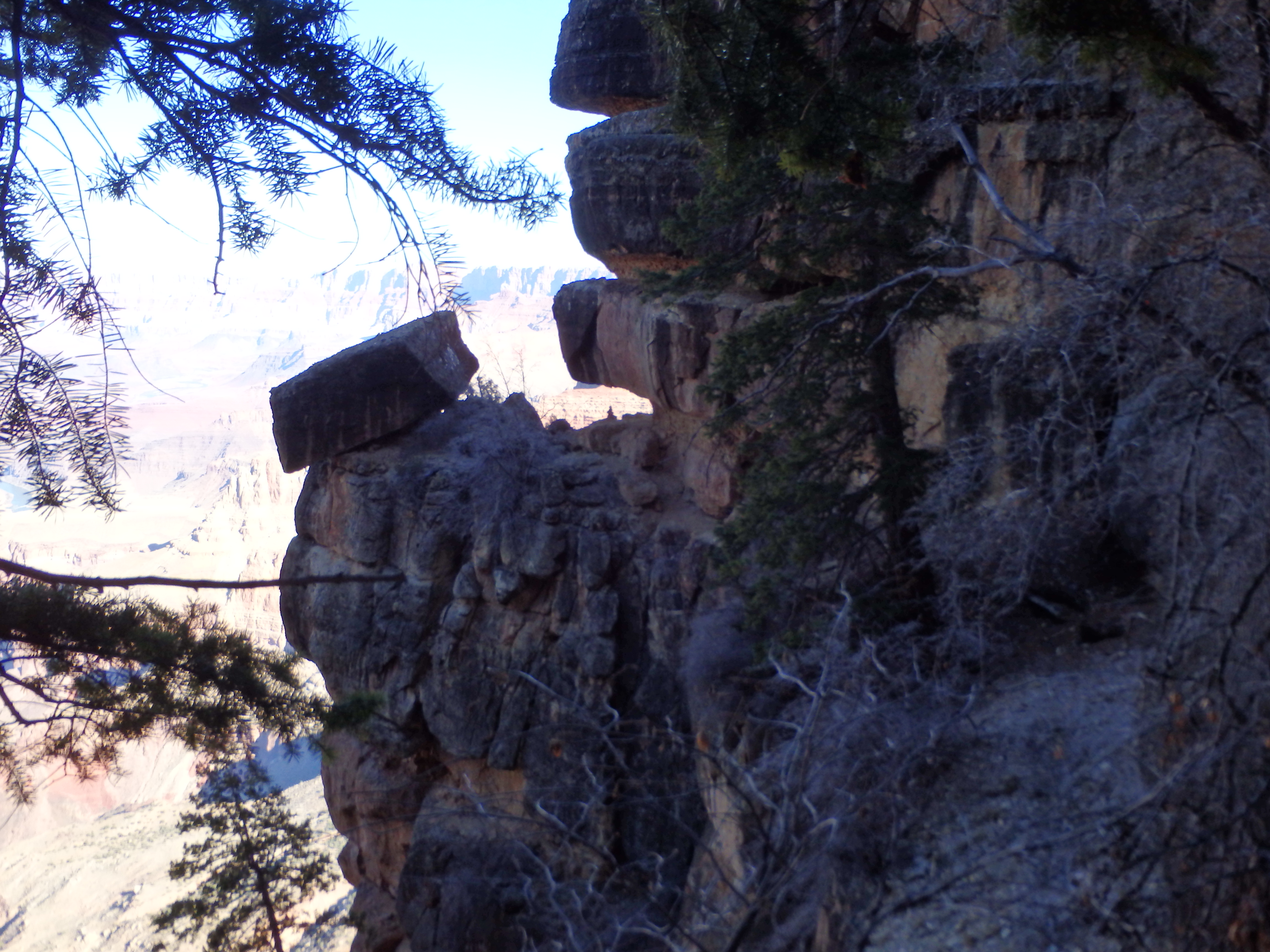
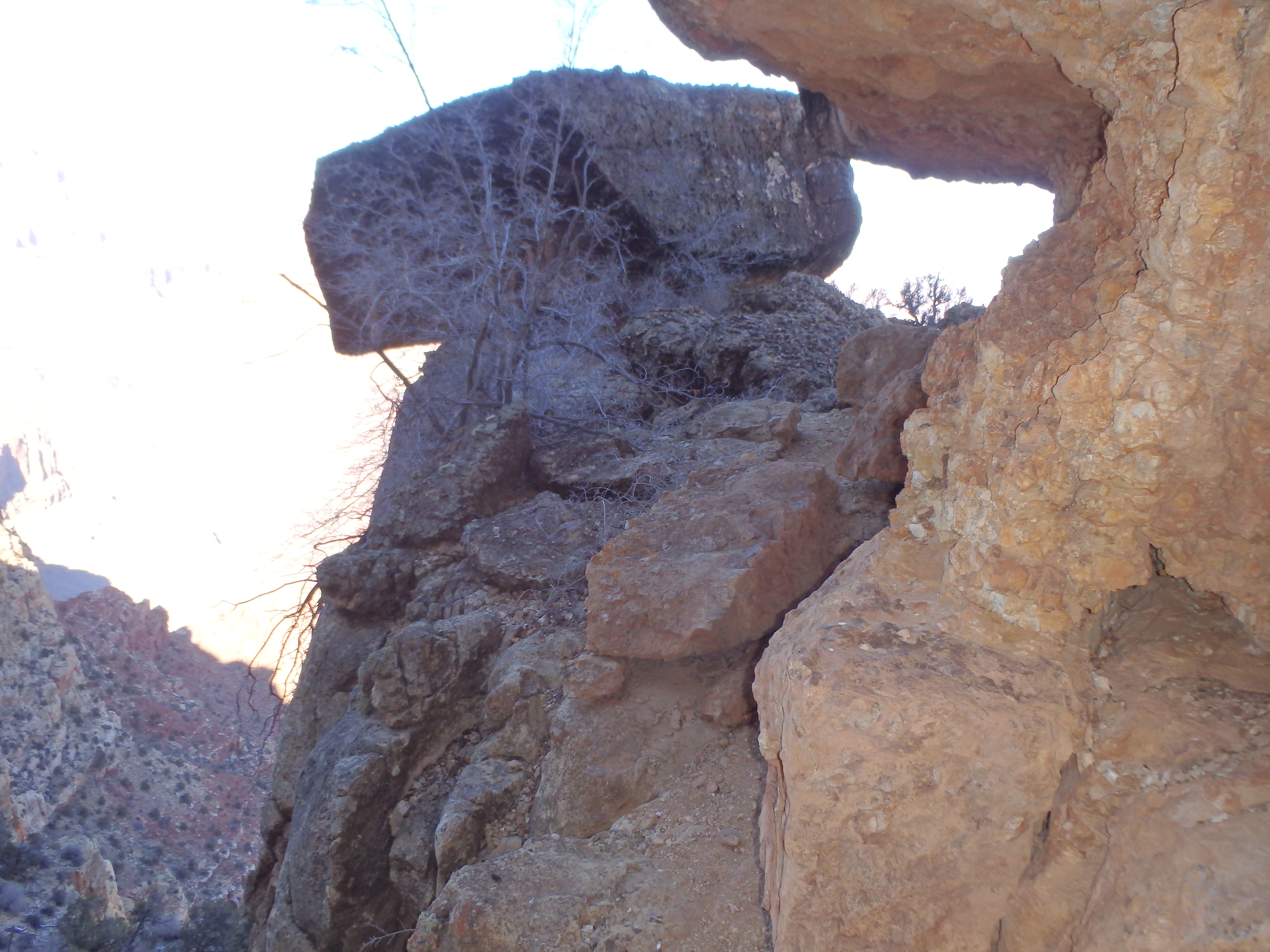
The easiest route, class III, follows chutes 1, 2 and 3 in succession, climbing about 1/3 of each before traversing out to the next chute. The less complicated but more difficult class IV route climbs the third chute directly, but some obvious ice clinging in the chutes made the decision to keep things class III easy. I started up the first chute, littered with fallen branches from a number of large pines guarding passage. The ground was frozen solid and many key hold had a thin sheen of icy, making me pause at at least two spots. After about 80′ of climbing I reached a large chokestone blocking further passage, and traversed out of the first chute across a narrow sandstone catwalk around and in to the second chute.
The second chute was a little easier than the first and mostly class II aside from one or two moves to get me onto the ledge just below the north and south summit blocks. The two summits are split by a deep notch with the north summit slightly higher, and I walked around the ledge to just above the third gully and found what was technically the toughest climbing of the day, although it was free of ice, making it easier then some of the moves in the first chute.
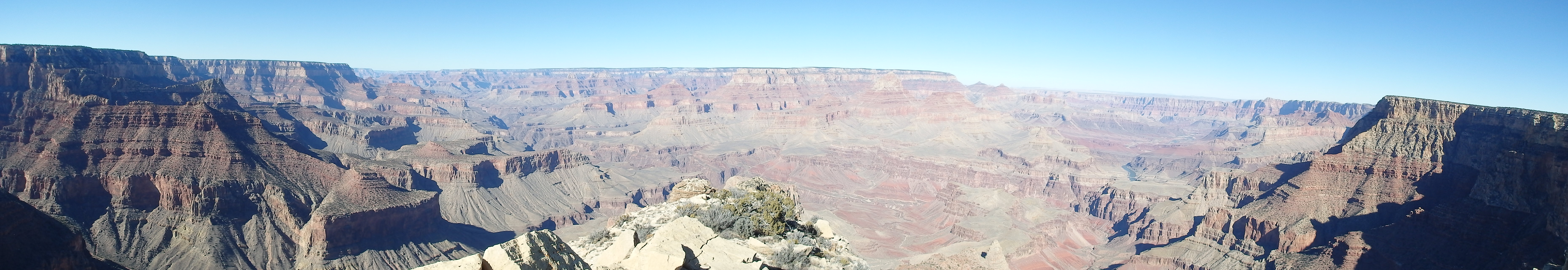
From there it was a short walk to the summit boulders to bring me to the narrow summit, taking 1.5 hours from the trailhead. Despite the short time, the route finding was complicated and scrambling tricky, especially with the icy spots lower down. I sat down to enjoy the views. Coronado Butte is positioned towards the middle of the South Rim, and I had fantastic views of Escalante and Cardenas Buttes, Sinking Ship, Berry Butte and dozens of prominent peaks north of the Colorado, particularly Wotan’s Throne and Angel’s Gate.


After a very small lunch, the light wind, sweat soaked clothes and sub-freezing temperatures forced a decent, and I made my way off the summit blocks. I had a tough time finding the initial way back to the upper ledge (make a mental note for the return) but eventually found the tricky spot and traversed over to the top of the second chute. The traverse back into the first chute across the catwalk was obvious (since the second chute abruptly ends in cliffs) and I worked my way around the narrow ledge back to the first chute.
 Although the icy spots were again a bit sketchy, there were a number of trees and branches I could use to slowly lower myself and I descended without incident. Hiking out to the tip of the plateau on a decent use trail, I had 1:40 to descend back to the saddle and climb over 1000′ to the rim to make my four hour mark. Dropping down the short gully through the upper cliff band, I half jogged down the class II slabs, finding the rock to be fairly solid and perfect for a rapid descent.

In 10 minutes I was at the saddle, and found a use trail I had missed on the way up to bring me back to the New Hance Trail. With my work cut out for me, it was painful ascent back up to the rim, ending the day like every other GCNP summit I’ve climbed to date. But the icy trail was easier to ascend than descend, and I made it back to the trailhead 3.5 hours from the start. Unfortunately I would have been better off hanging at the summit a bit longer, and 15 minutes of pacing at the trailhead in wet clothes left me chilled to the bone. I didn’t warm up until dinner in Flagstaff, which unfortunately likely contributed to sickness the rest of the week. A small price to pay for a solid summit in the Grand Canyon…