
Harquahala Mountain 5,681′
Total Time: 6:30
Distance: 10.4 miles
Elevation Gain: 3600′
Class 1
Companions: Holly
Trailhead: Harquahala Pack Trail- pit toilet, trash


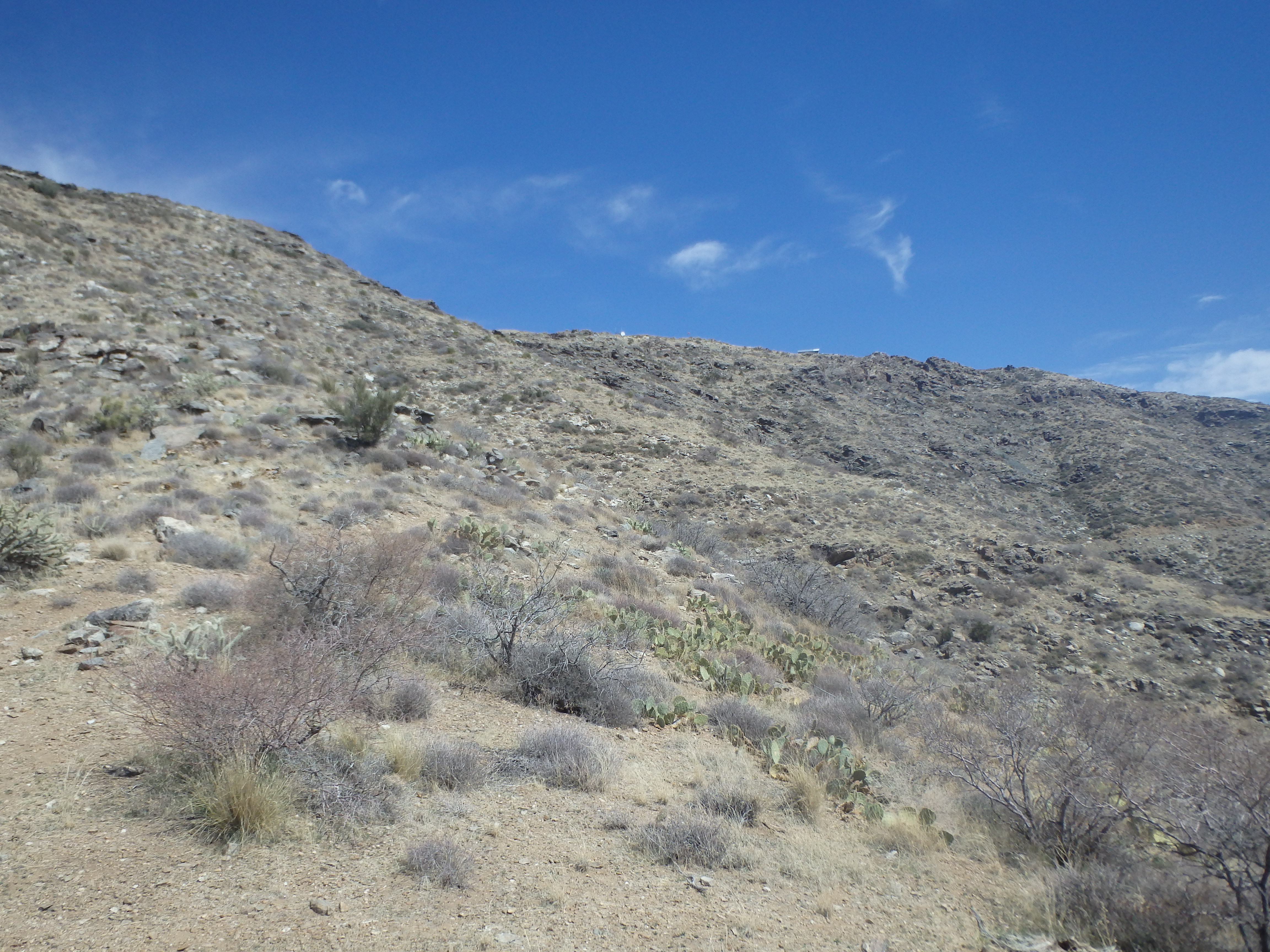
Harquahala Mountain is a massive desert summit located NW of Phoenix. The highest summit in La Paz County and all of Southwest Arizona, Harquahala is visible in the distance beyond the White Tank Mountains from most of Phoenix and stands high above I-10. For the more historically inclined, it was also the site of a Smithsonian Research project from 1920 to 1925, examining how the sun and solar rays impacts the climate. Although it can be reached from the south by a decent dirt road, the original pack trail to the summit from the north makes for a solid outing. Not mention, it was the last of the three Arizona P2K summits off the US-60 I had yet to climb, bagging Smith Peak and Harcuvar Peak early this year. We left Phoenix and headed towards Wickenberg on the now familiar drive towards Wenden. The turnoff for the trail is very hard to find, with a single palm tree on the north side of the road signalling the hidden left turn onto the gated dirt road. Aside from a couple easy ruts, the 2 miles of dirt road to the trailhead was in excellent shape as was the trailhead itself, with a paved walkway to a brand new pit toilet and some maps and signage about the hike near the lot. Nice to see the BLM investing some of its’ budget into recreation.


The trail heads directly up canyon as we very slowly gained elevation rising up out of the wash. The heat got to us early, high temperatures already hitting the high 80s to low 90s in late March. It was hard to spot the trail above as the canyon walls began to steepen, and we began traversing above and just west of the main wash, filled with monstrous boulders from previous flash floods. We passed the remains of an old corral as well as what looked like an old, filled in mine before the grade became a bit more aggressive and the switchbacks began.


Climbing higher, I was impressed by the overall quality of the trail and how impressive the canyon was, with large healthy saguaro, tall sheer cliffs above and interesting rock features throughout. As we ascended, the views opened up to Harcuvar and Smith, although visibility was overall poor with some strong winds kicking up the desert dust. About 3/4 of the way up, we passed a pair of hikers near another mine below the summit ridgeline, this one with an interpretive sign about the mountain’s past. A few more short switchbacks brought us to a shallow saddle on the ridgeline, and the summit buildings from the old Smithsonian Installation was in sight.

While the summit looked very close, there were still a number of switchbacks to contend with, snaking up the ridgeline to the top. The hike up wound up taking a little over 3 hours with several breaks at a comfortable pace. The summit was broad with the old historic building (fenced off) as well as a number of solar panels and towers, unfortunately blocking any chance at a 360 view. We dropped down to the lee-ward side to get out of the wind, and enjoyed some summit beers and snacks for a late lunch.


I explored the summit for a bit while Holly continued to hide from the wind, finding no summit register near the BM near the high point. The Smithsonian Building was a bit underwhelming, basically just a tin shed that was completely fenced off. There were, however, a number of interpretive signs talking about the history of the mountain and the research performed before they packed up and moved their operations to Table Mountain in the San Gabriels, another spot I had not visited during my time in LA (I think it’s on private property and now a frolf course?). Holly started down the mountain while I finished reading the signs, and I caught up with her a bit before the ridgeline saddle and the long series of switchbacks back to the trailhead.


The descent was fairly unremarkable, although stretch between the last switchback and the trailhead seemed far longer than I remembered. We reached the car after a little over 6 hours of hiking and a beer break at the summit. A few miles of dirt road, we were back on the highway after another successful AZ P2K summit.

These journal entries are just delightful. How impressive that Holly made this trek with you. A six hour unremarkable descent sounds daunting. Good thing for the beer break!