
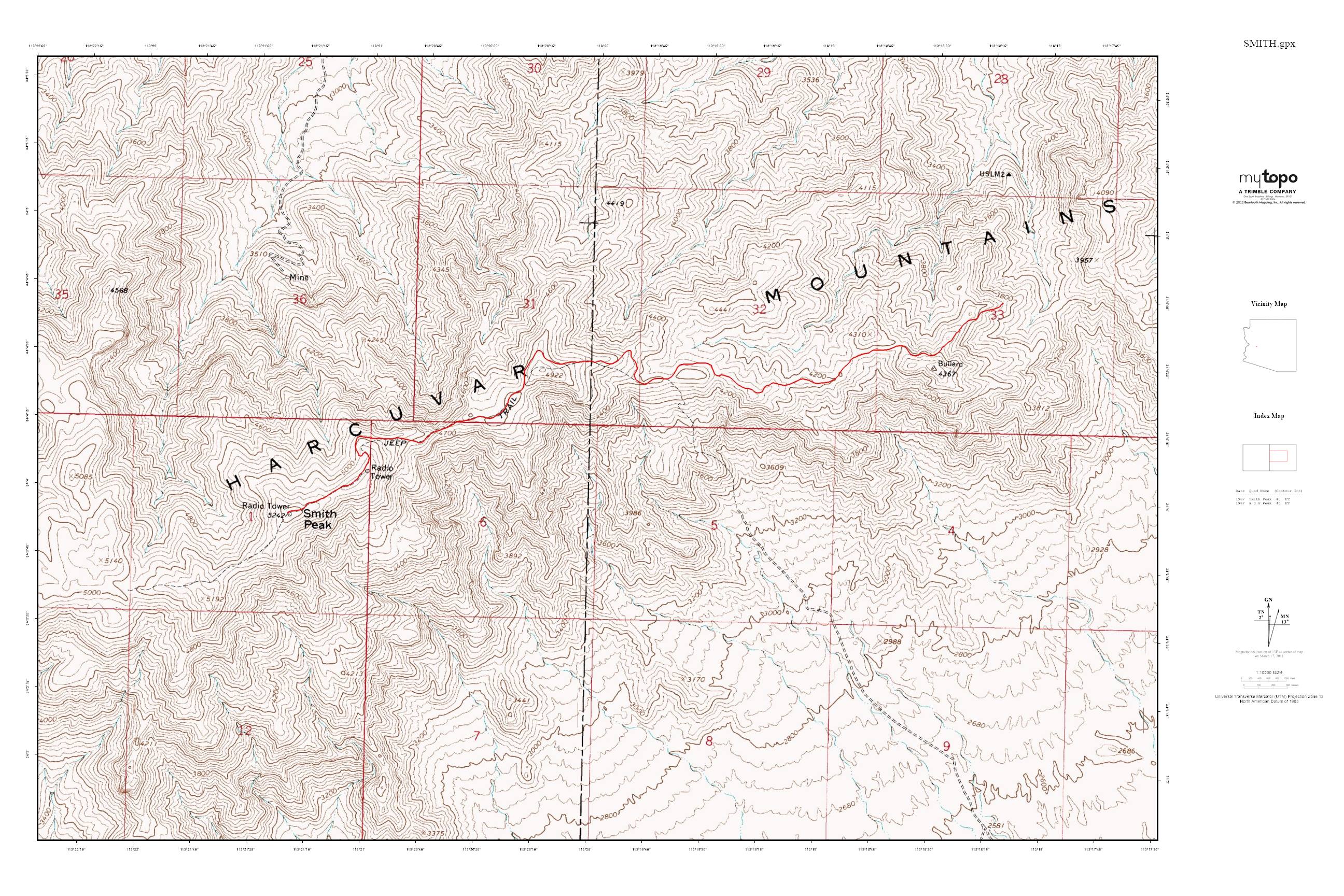
Smith Peak 5242′ and Bullard Peak 3124′
Harcuvar Mountains
Total Time: 2:30
Distance: 8.0 miles
Elevation Gain: 1,750′
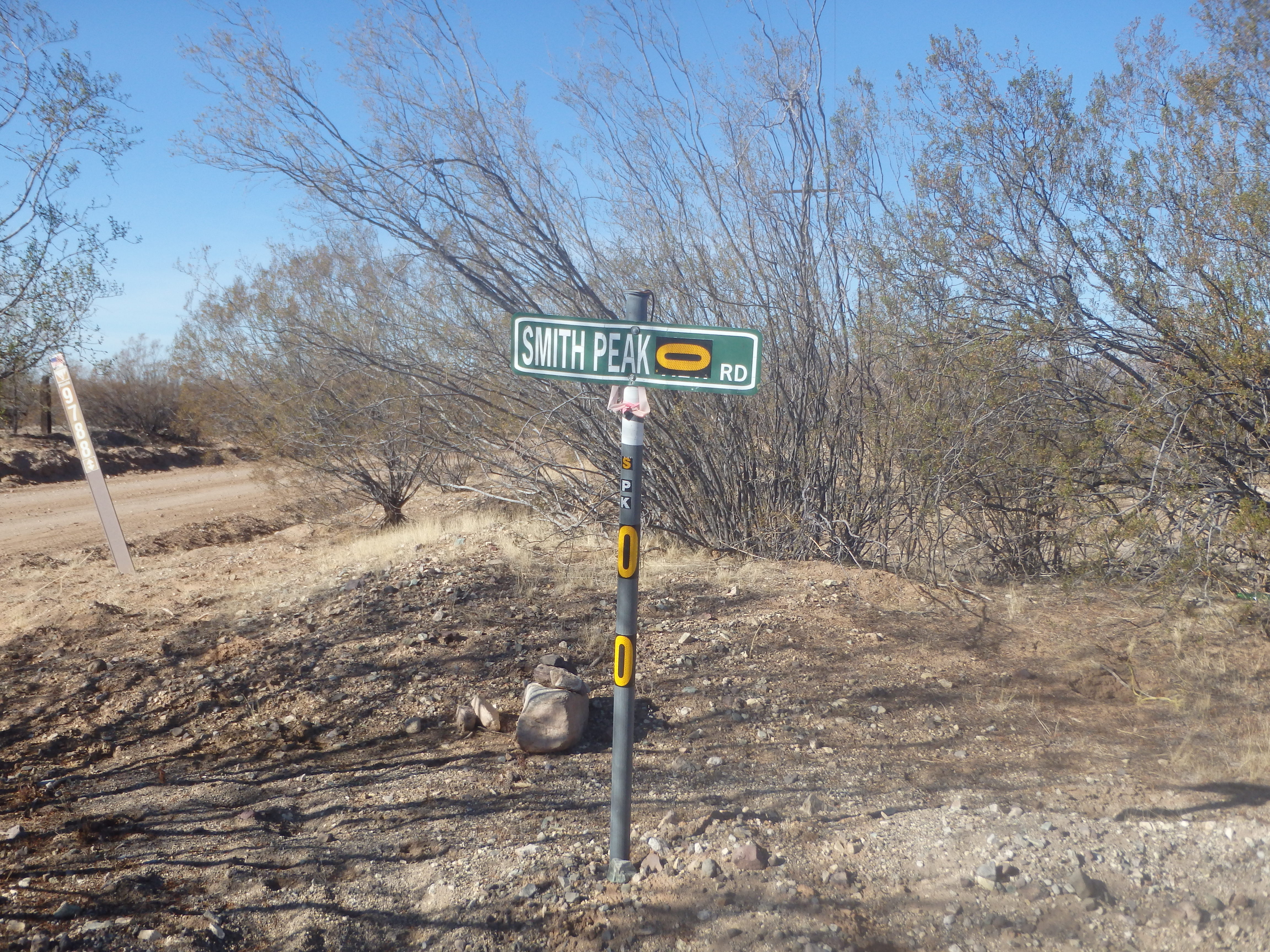
Trailhead: Smith Peak Road, high clearance, no services
The Harcuvar Mountains are a long, remote desert range running from northwest to southeast about 1.5 hours from Phoenix. They are one of only a handful ranges in the state with two summits with over 2000′ of prominence- Harcuvar Peak and Smith Peak, the range high point. They, along with Harquahala, were a collection of P2K within easy striking distance NW of Phoenix I had yet to visit. The trail-less Harcuvar is probably the most difficult of the three by nature of the cross country approach, so I wanted to tick that off first. I printed out two versions of the driving directions describing the complex dirt roads to reach the base of the mountain and set out. A little over an hour from home I reached the turn off from the highway heading towards Alamo Lake State Park, and dropping into a dirt path paralleling an irrigation channel for some farms. So far so good. I hit a junction and my directions said to go straight, which was not an option. I could see the road continuing on, but a large dirt berm wall plowed over it with a new barbed wire fence across. It seems the farmers did not like peakbaggers using their roads. I drove around the network of roads around the farm hitting multiple dead ends, seemingly surrounded by fence on all sides. There was some activity by some of the farm workers, and in the interest in not drawing more attention to myself, I drove back to Alamo Lake road and headed north to look for another route in. I found another road that seemed worth a try, but this dead ended near some trash that someone seemed to be using for target practice. It quickly became clear that I could waste an enormous amount of time driving down the numerous dirt roads still several miles from the base of the range, and that some proper research online before trying again might some me some time (I read on summitpost.com later that others had found this route blocked as of April 2017). So I drove back out to the US 60 and decided I would climb Smith Peak after all. I had enough signal to figure out the driving directions and drove an hour of dirt roads towards Smith Peak.
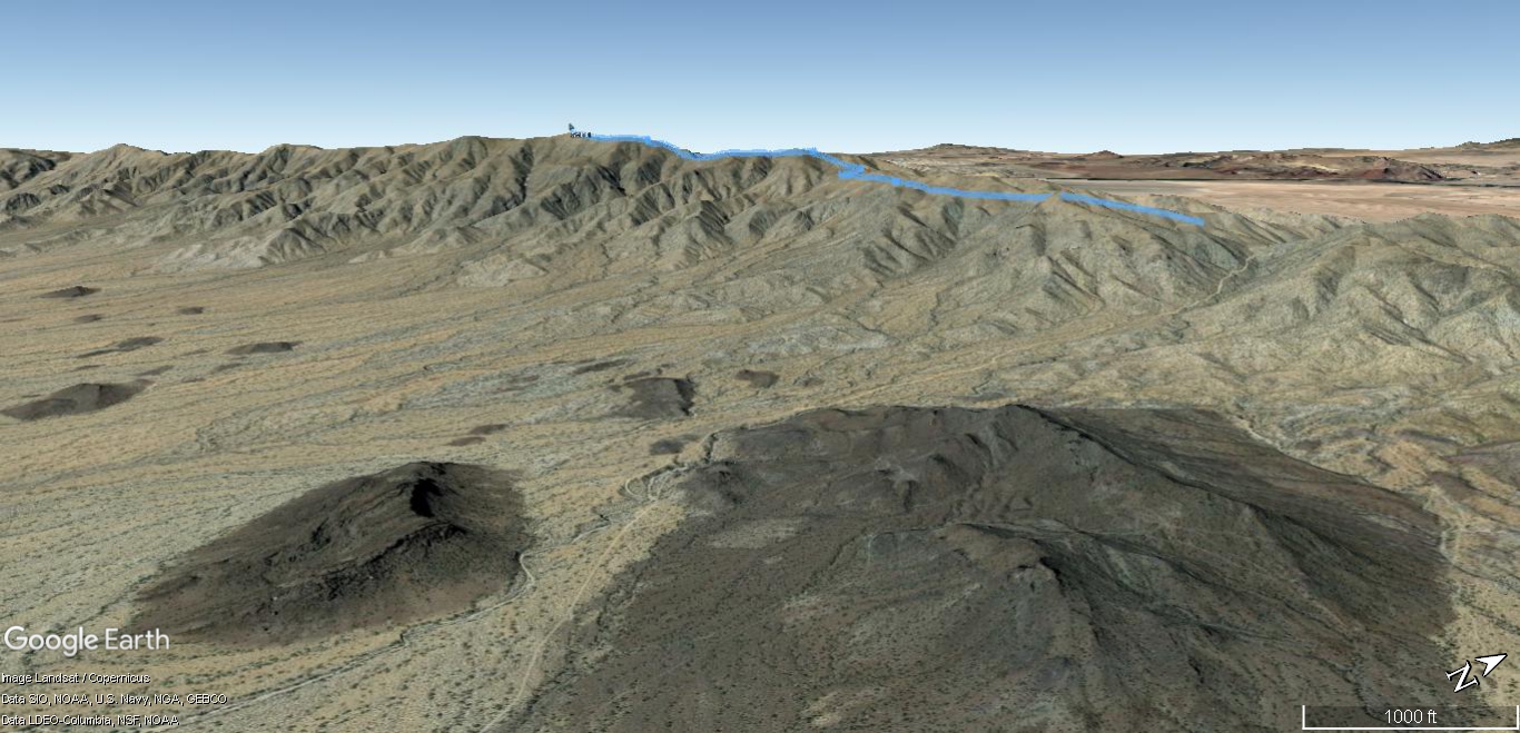
The roads were in shockingly good shape for 10+ miles from pavement, some of the best I’ve encountered in Arizona, and the highway seemed to be popular with Jeep enthusiasts. I passed some small volcanic peaks around Bullard Mine on the way in, then started up the switchbacks requiring some high clearance in spots, but never AWD. It became obvious that I could probably drive nearly to the top, but since I was looking for a hike and some exercise, I stopped at a switchback about 4 miles from the summit and got out of my car.

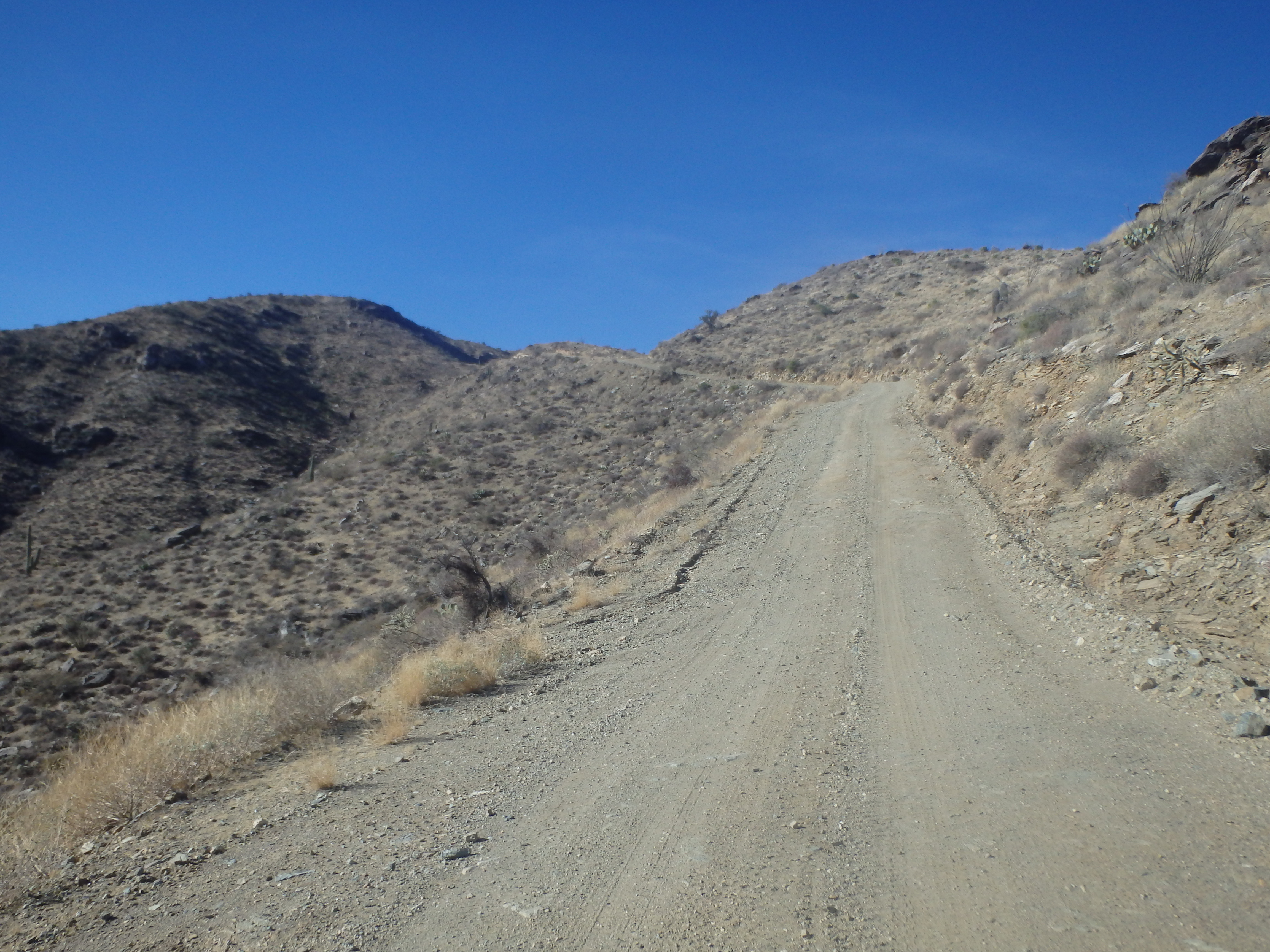
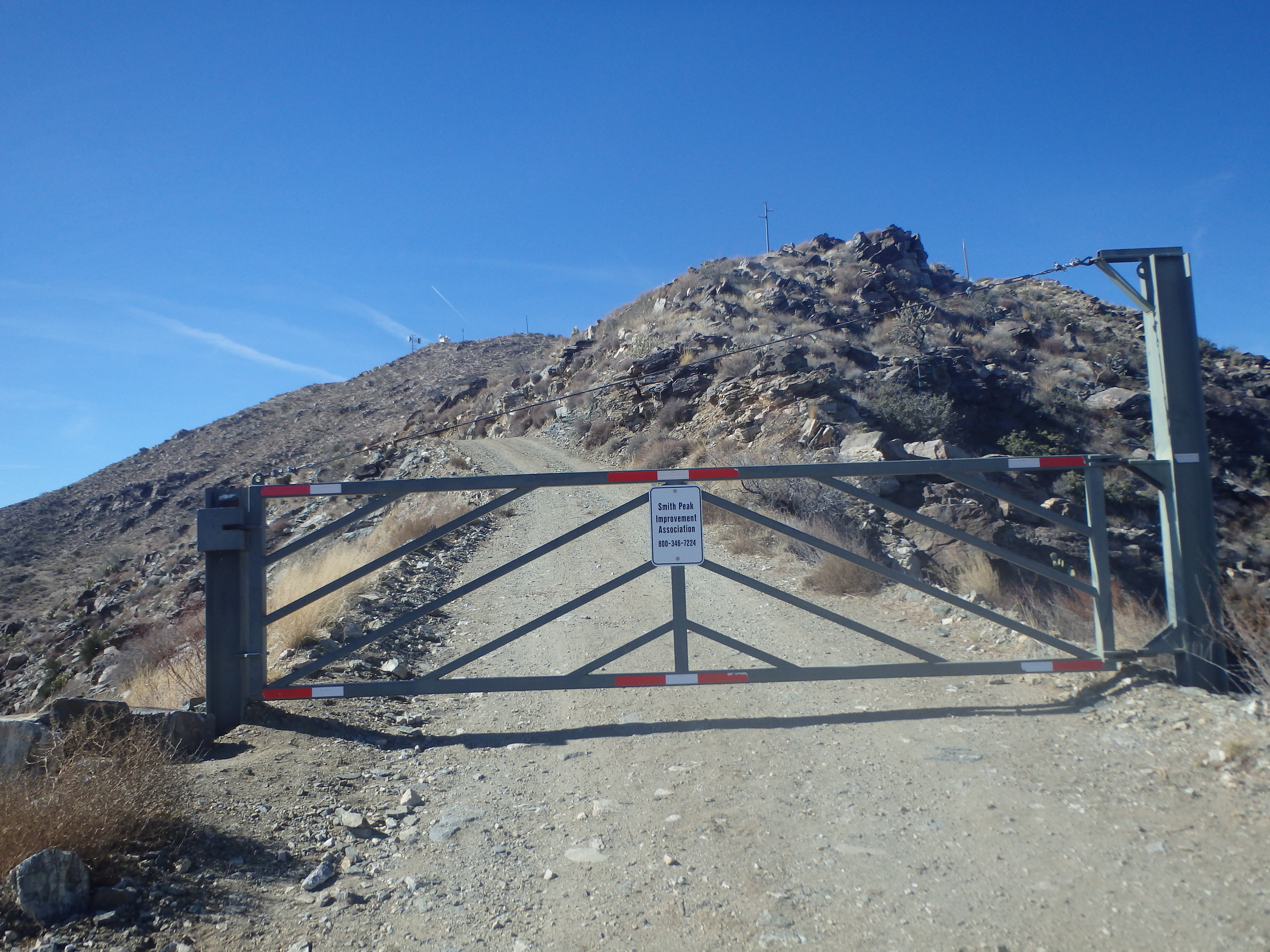
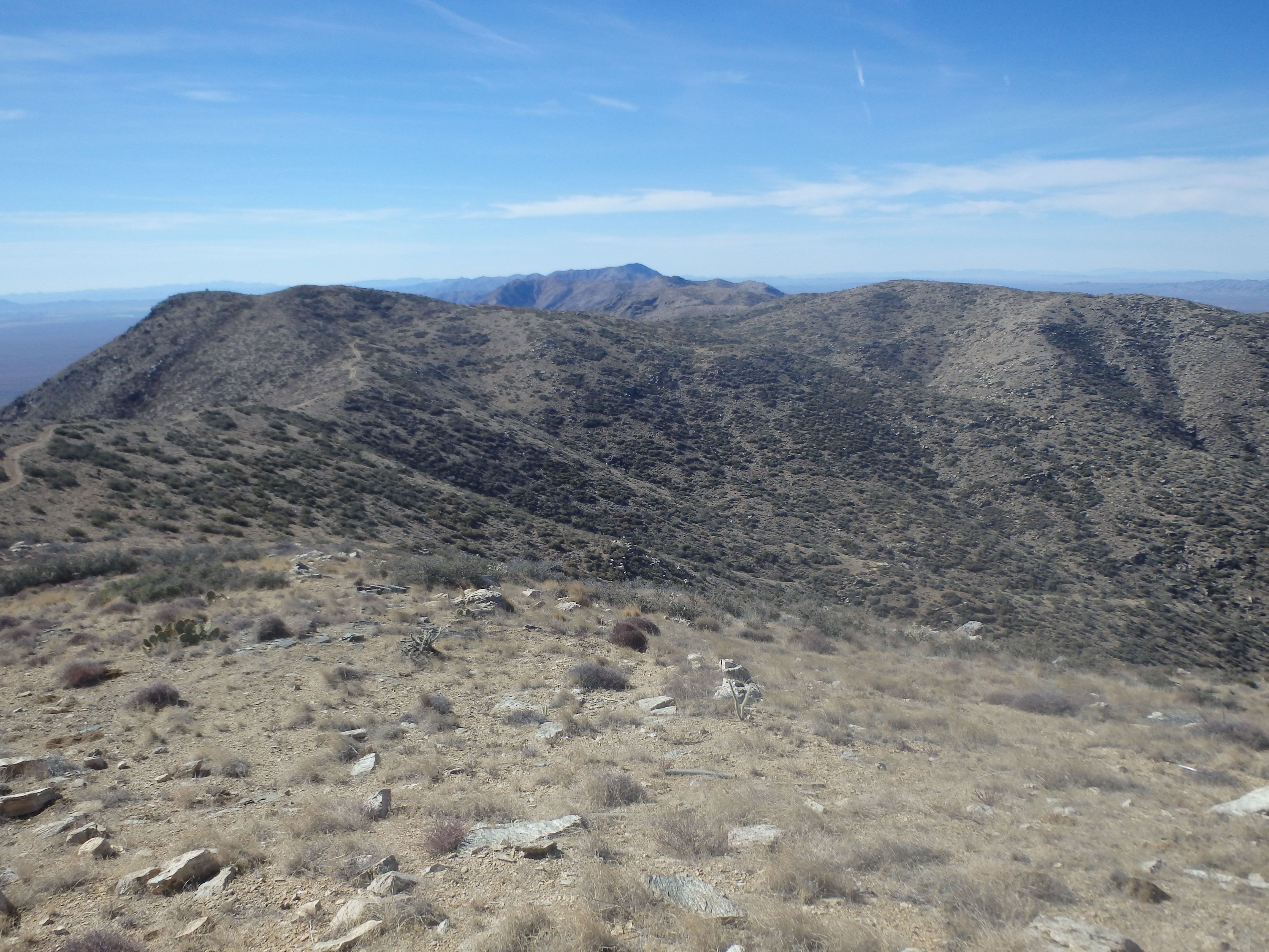
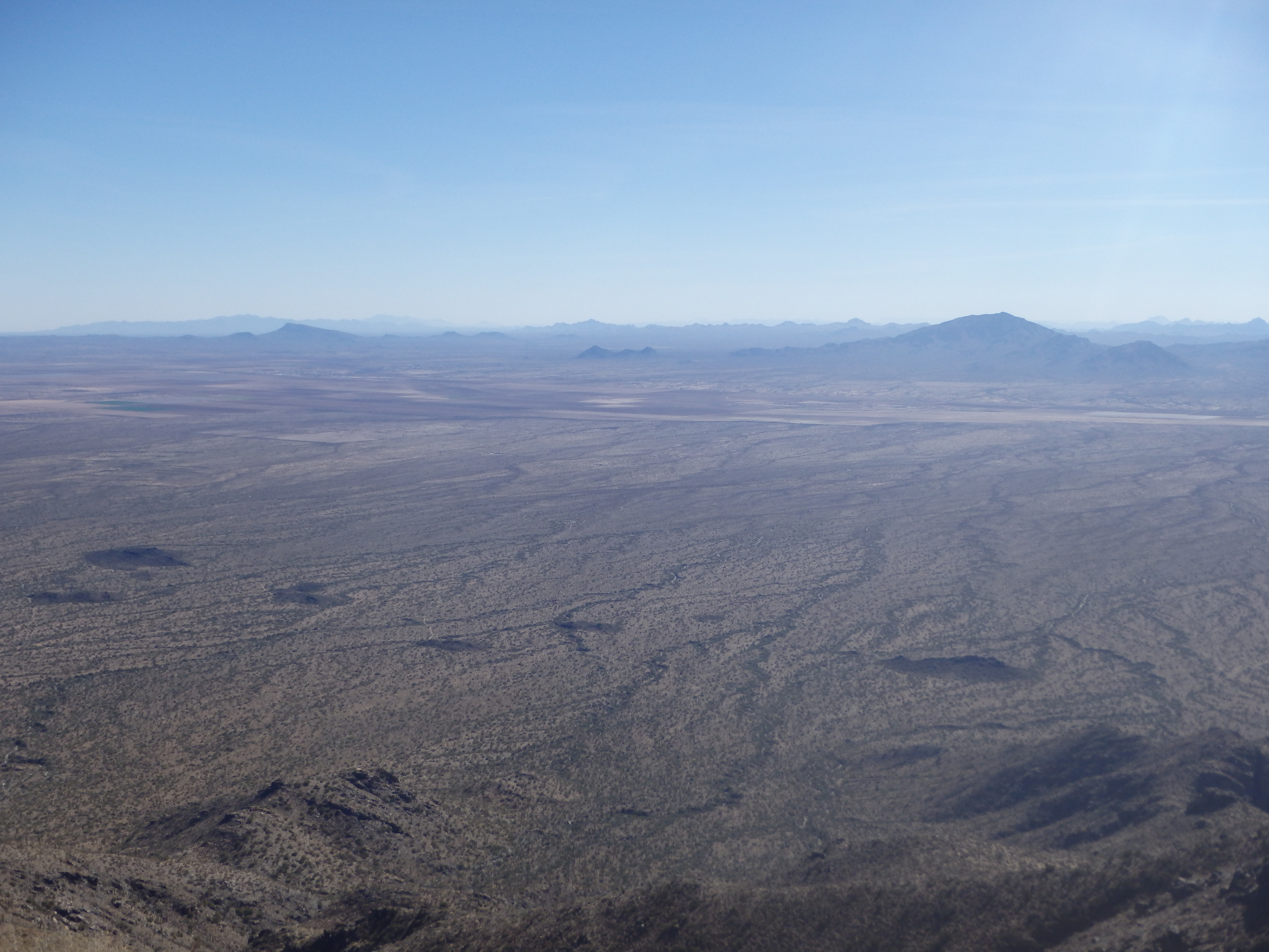
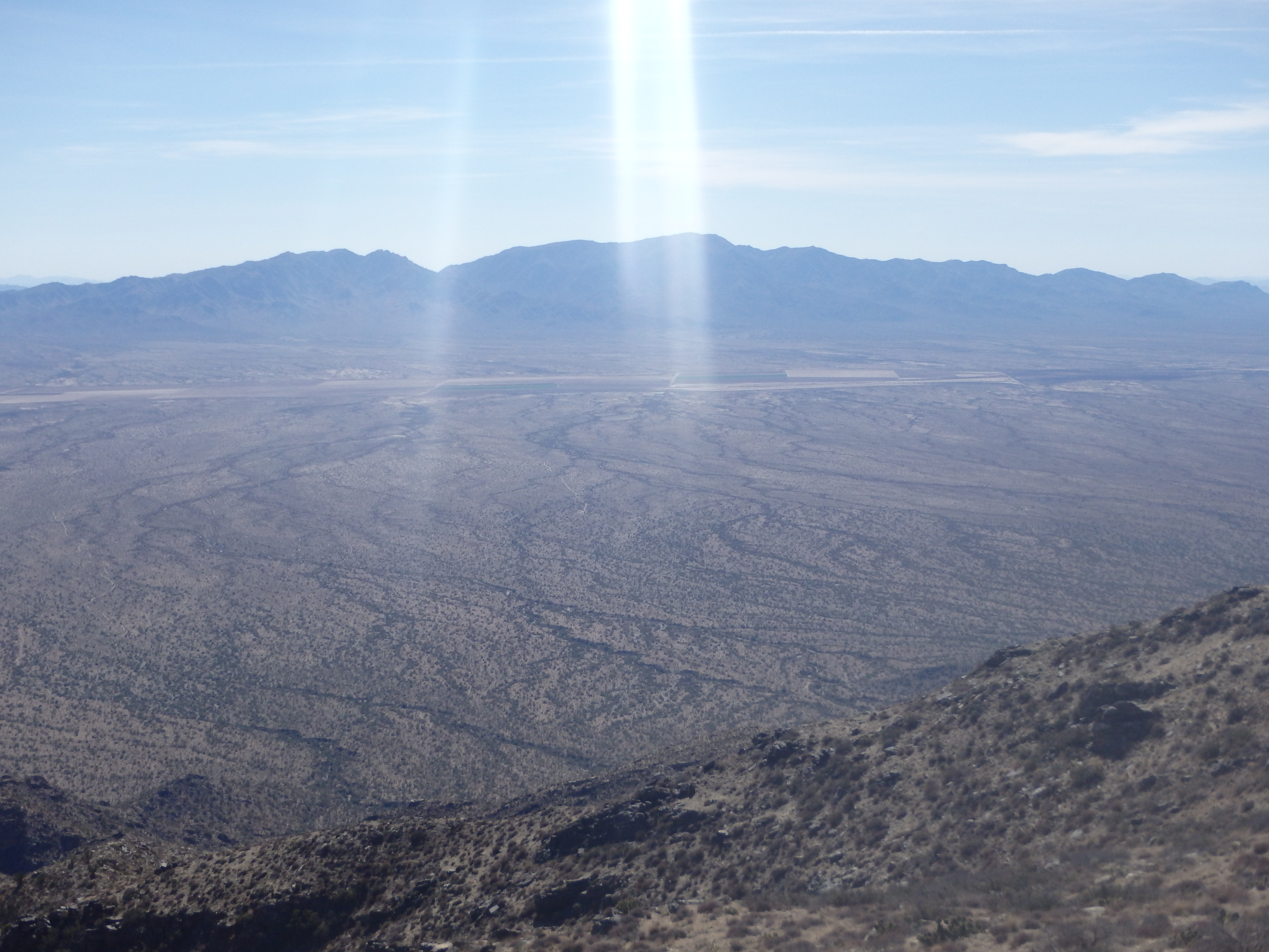
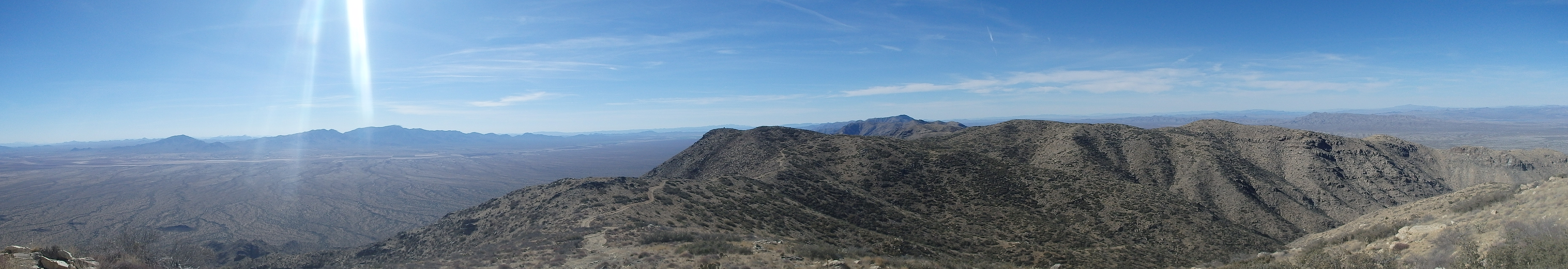
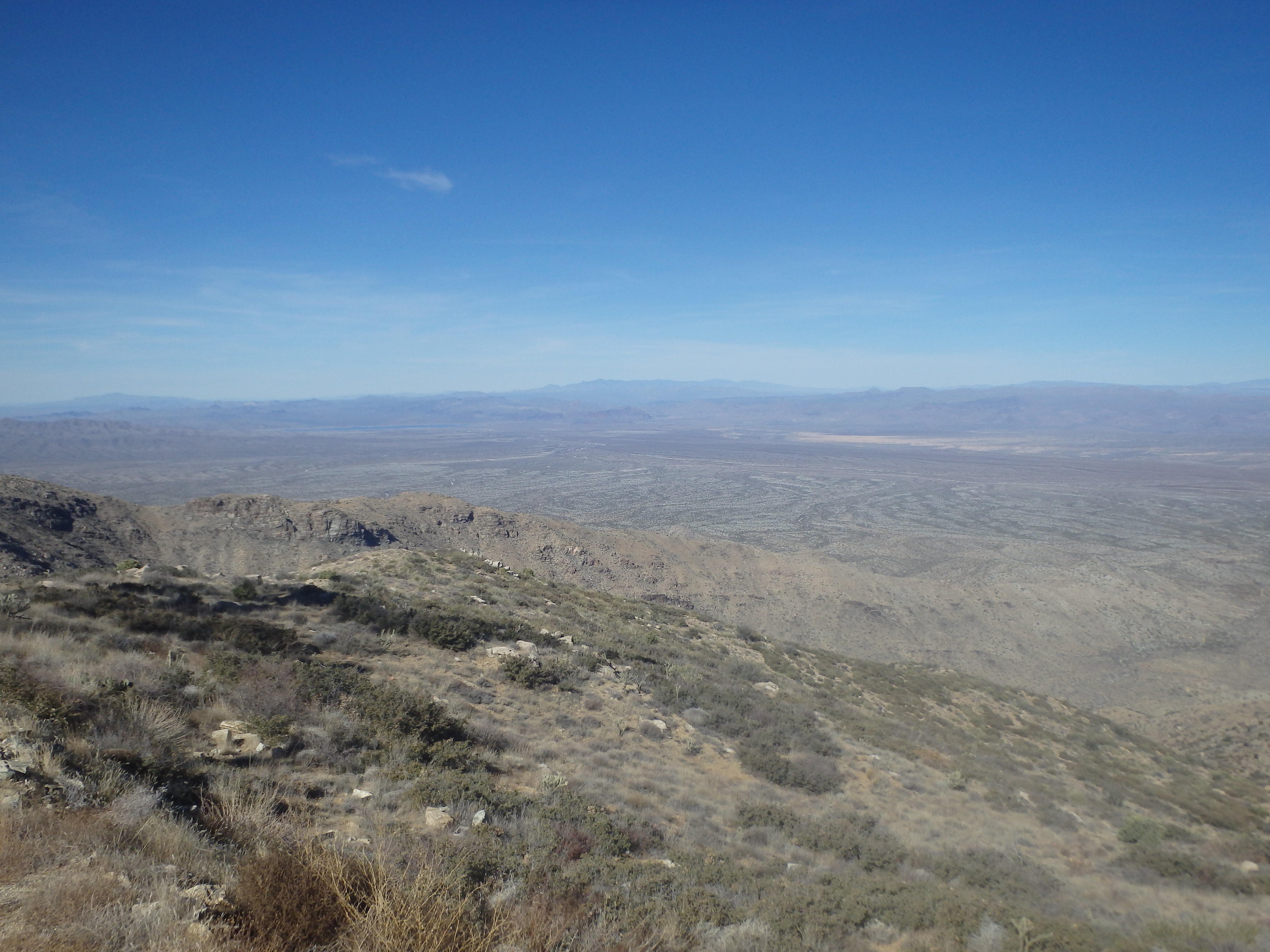
The route was very straight-forward; follow the road to the summit. The views were expansive but I had a hard time picking out the various summits in the thick haze of mid day. After hiking about an hour, I reached a locked gate roughly one mile from the summit. Any SUV should have no problem reaching this point.
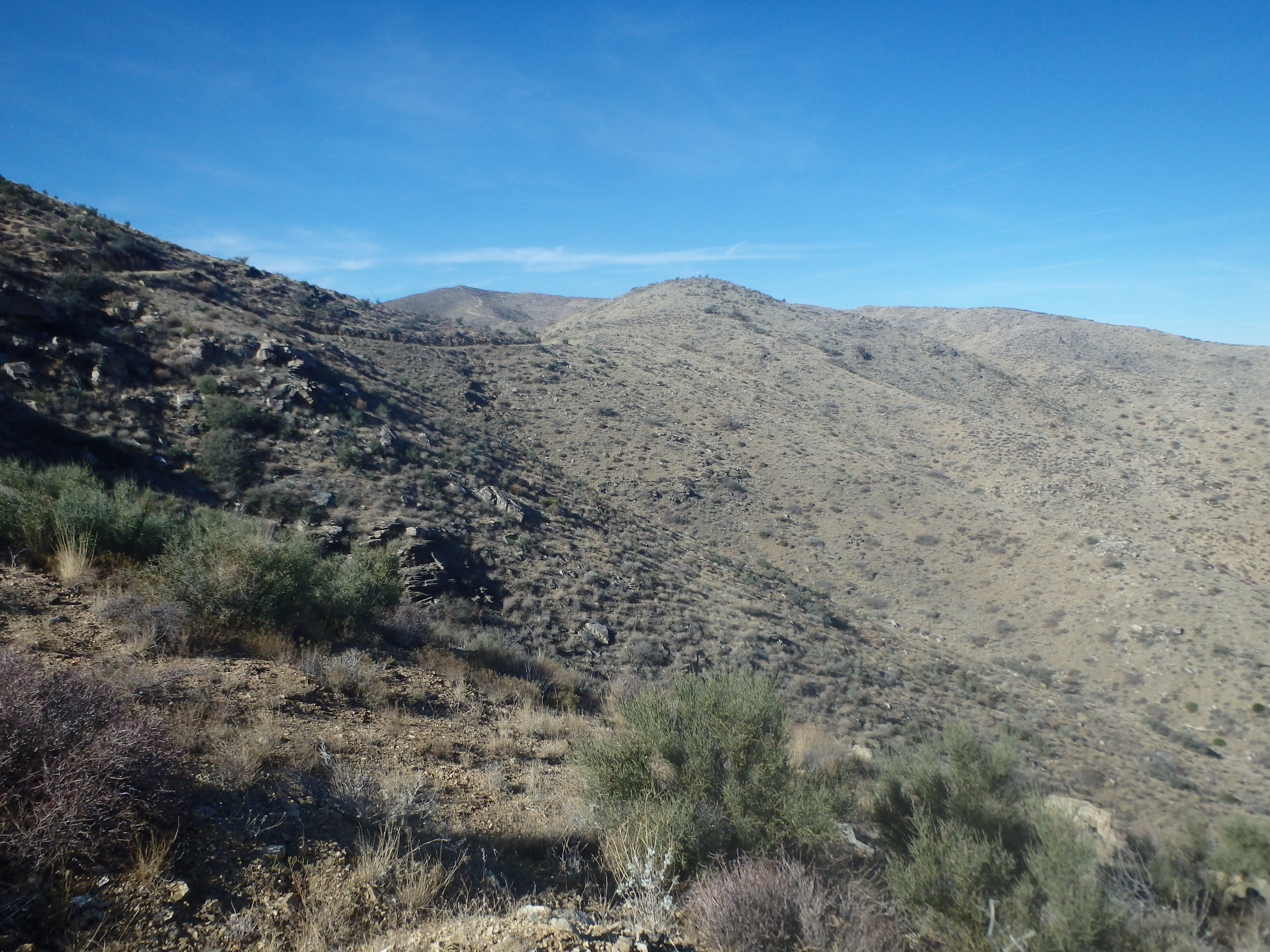
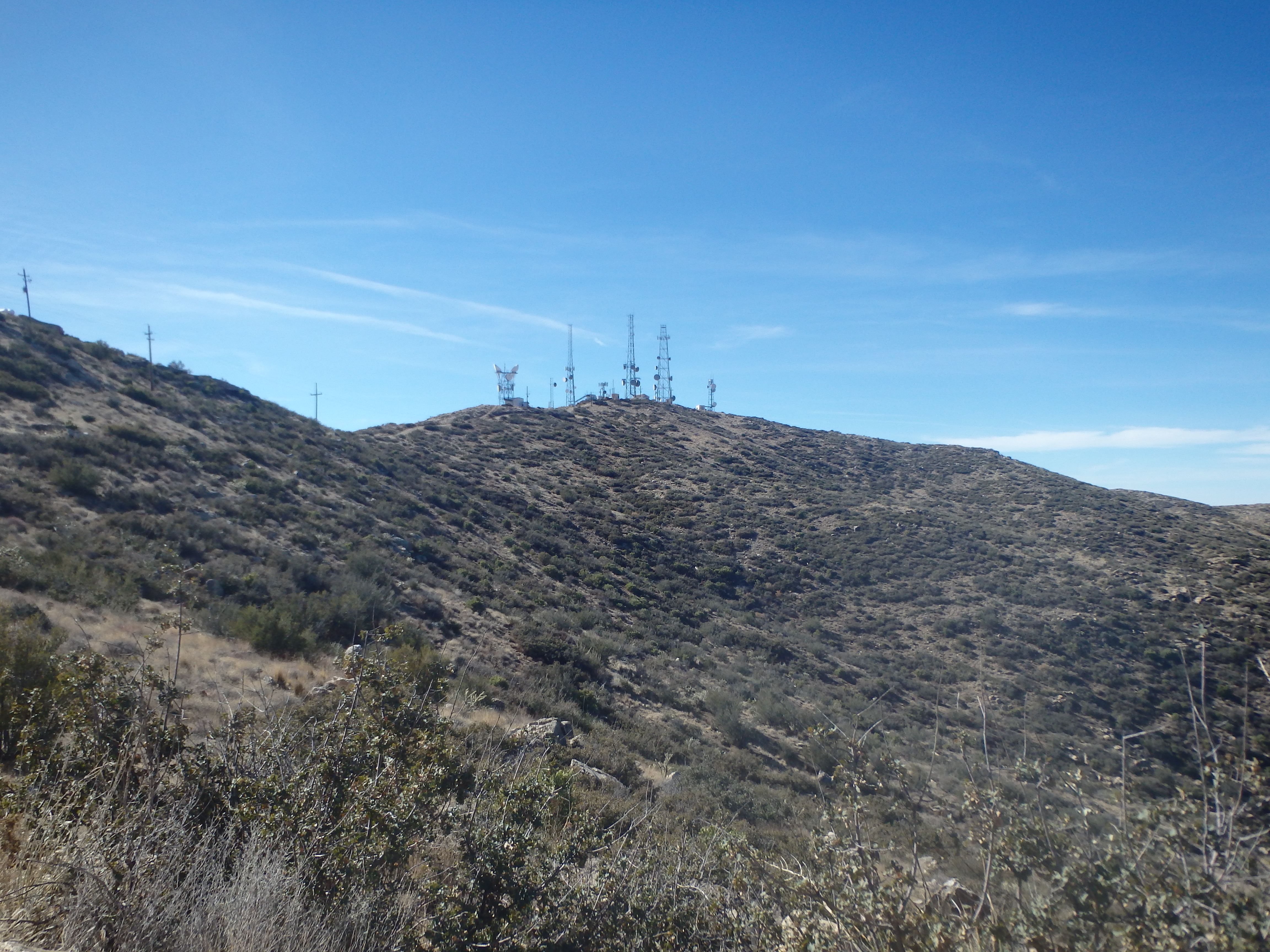
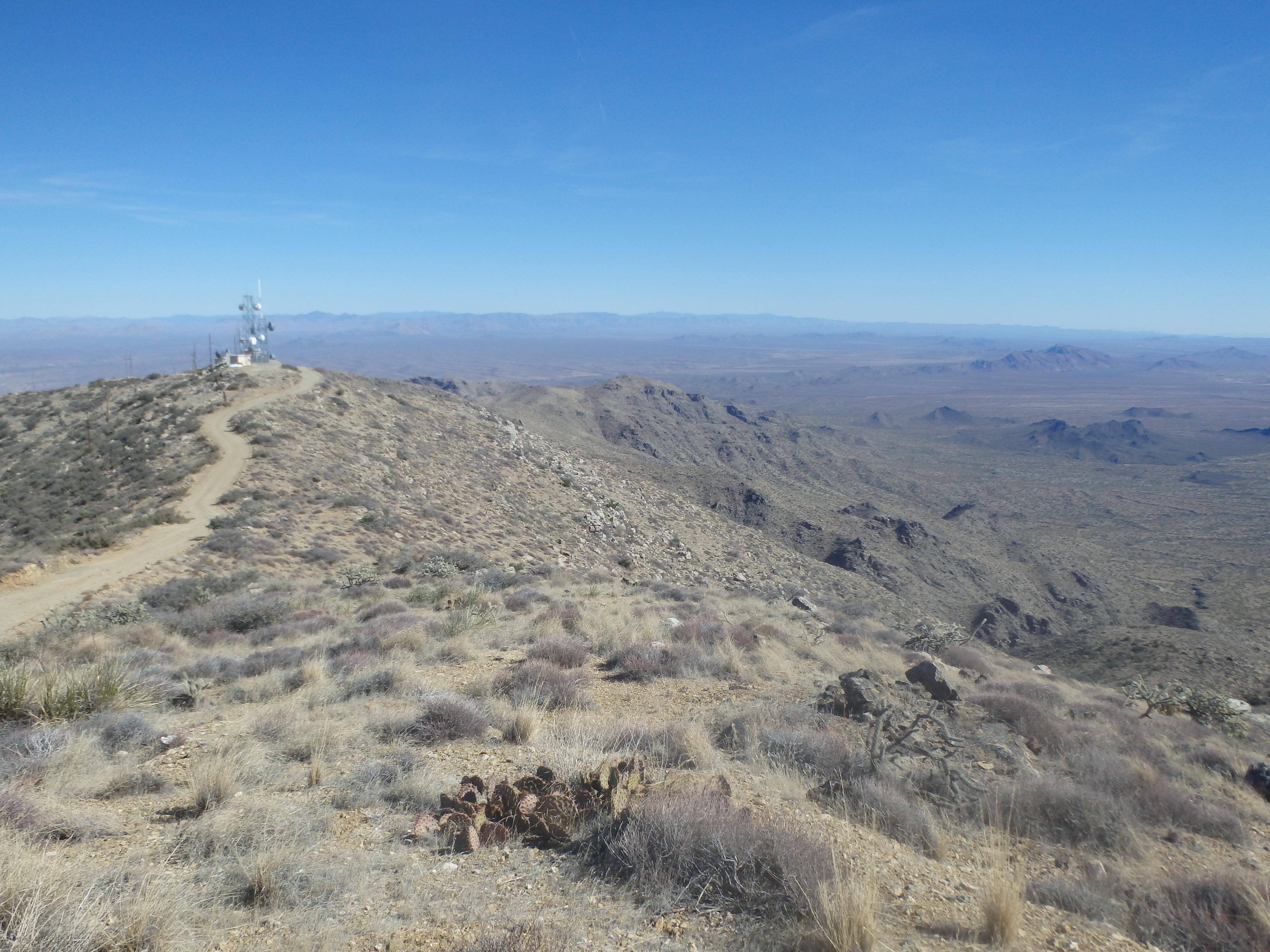
Stepping around the gate, I continued up the road, past several more false summits to the highest antennae crowned point on the mountain. I briefly searched in vein for a benchmark or summit register, but quickly gave up and ducked behind one of the small buildings out of the wind. Having not visited this portion of the state often, I could only name a few of the peaks on the horizon. Harquahala dominated the view to the south, with Barry Goldwater, Hayes Peak and Woolsey Peak visible in the distance. To the southwest, I could barely make out Signal Peak. To the north, things were a bit unknown, and I assume Mohon and Hualalapai were somewhere in view. The Bradshaws blocked most things to the east, although I could barely make out Four Peaks in the far distance.
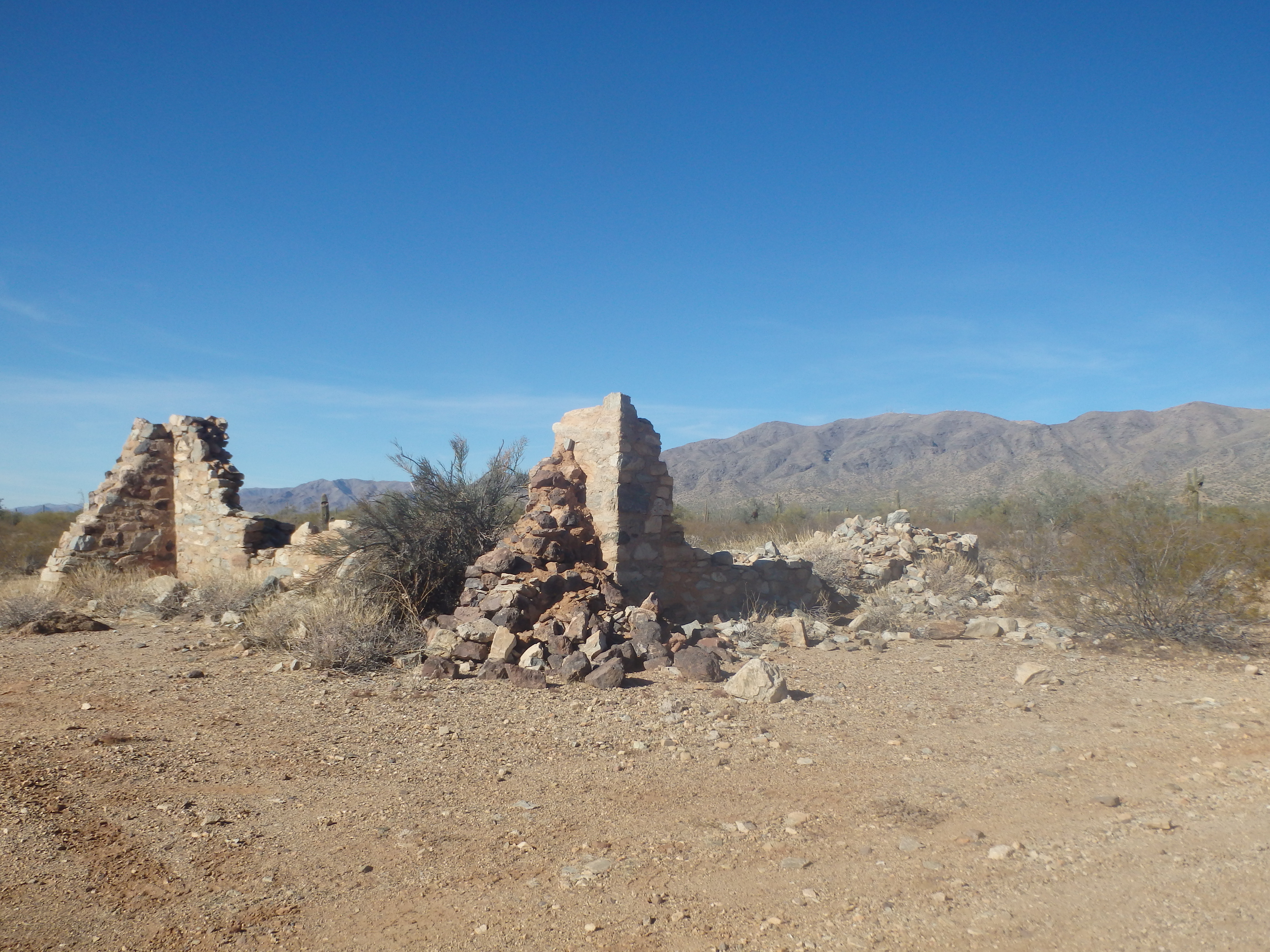
After a quick snack, I started back down the road and uneventfully reached my car in a little over an hour. I still had plenty of daylight and water, Smith taking far less time than Harcuvar, and thought I might tag the small volcanic Bullard Peak on the way out. Driving down Smith Peak, I turned on another good side road leading to a series of mines at the base of Bullard Peak. The network of dirt roads leading to the mines were also in pretty good shape, presumably thanks to the Jeep enthusiasts in the area. I left both my GPS and camera in the car, thinking it wouldn’t be all that interesting, and started up the steep slope. I immediately encountered a wide open and unboarded mine shaft in the side of the mountain.


Researching it later at home, it seems the mine was mostly for copper, although not all that productive at its’ peak. Some thin use trails snaked up the loose volcanic slope towards the sheer cliffs of the summit block. As I climbed higher, I started to doubt that I would find a class 3 weakness to the top. The terrain grew steeper and had a bit of a ball bearings effect, sliding down precariously with every movement, and having to gingerly test each gingerly before committing my weight. The rock was rotten, and reaching out to steady myself on cliff bands, the rock would peel off in my hands. As I neared the base of the summit cliffs I traversed west to look for a weakness. Gingerly stepping around a slightly overhanging feature in the cliffs, I rounded the corner to a steep but unexposed class 3 crack to bring me to the summit.


The summit block was surprisingly narrow, and there was no sign of another ascent, although I’m sure at the very least some bored miners had been up previously. The peak was more interesting than I had expected, definitely worth the side trip when visiting Smith Peak if you’re looking for a bit more adventure. I slowly downclimbed the crack and cautiously moved down the loose rock back to the mines and my car. Another car had pulled up while I was near the top with no one else in sight, probably exploring the open mine shafts tunneled into the mountainside. I drove back out onto Smith Peak road and backtracked down the series of dirt roads to the US 60, then through Wickenburg and back home.
