
Stoddard Peak 4624′ and Frankish Peak 4196′
San Gabriel Mountains
Total Time: 5:50
Distance: 13.6 miles
Elevation Gain: 3600′
Class 1
Trailhead: Barrett-Stoddard Road, trash, no other services


My last day on a trip to Los Angeles was open for hiking, but a big winter storm rolling in from the west was limiting my options. I couldn’t drive too far since I needed to catch a flight out of Burbank, but the further east I could make it, the better chance I had to stay dry. After a bit of deliberation, I settled on Stoddard and Frankish Peaks, a pair of Lower Peak Section (LPS) summits near the base of Mount Baldy. I had largely ignored the LPS list in my pursuit of the various HPS summits in the San Gabriels, but with the high peaks in snow and clouds and heavy precipitation moving in, it seemed like a good time to tick off the lesser summits.

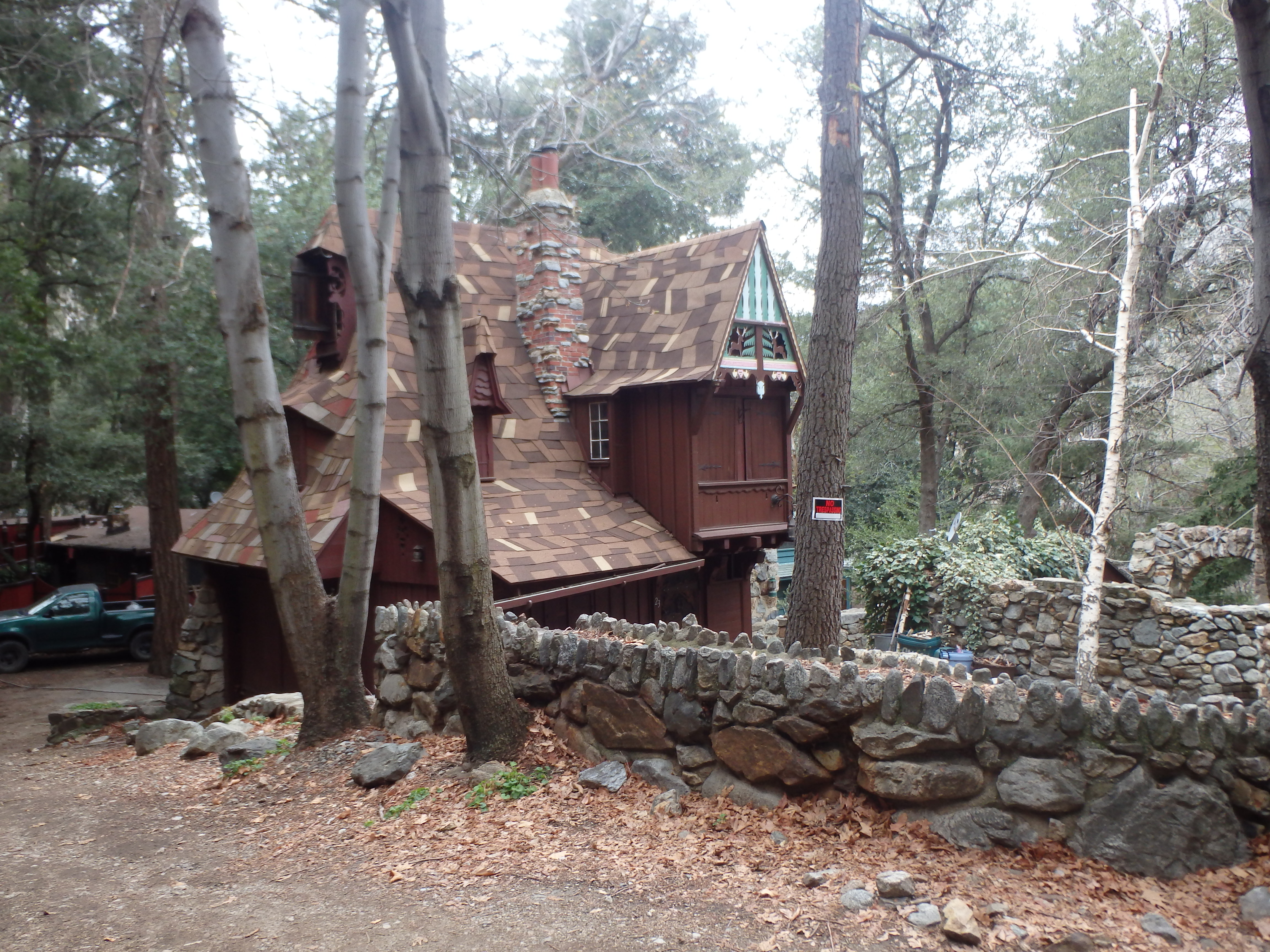
I left downtown LA in a light rain which cleared as I drove east. By the time I reached the turn off for Mount Baldy on Baseline, small pockets of sun were shining through and I had hope for a dry day. The turn off for Barrett-Stoddard Road was easy enough to find and I drove my car to a large dirt parking area just before a bridge and started out. A few cars passed me as I hiked along the road, coming from the collection of cabins tucked into a canyon. One was decorated like Snow White’s home, which I have the feeling did not meet USFS standards….
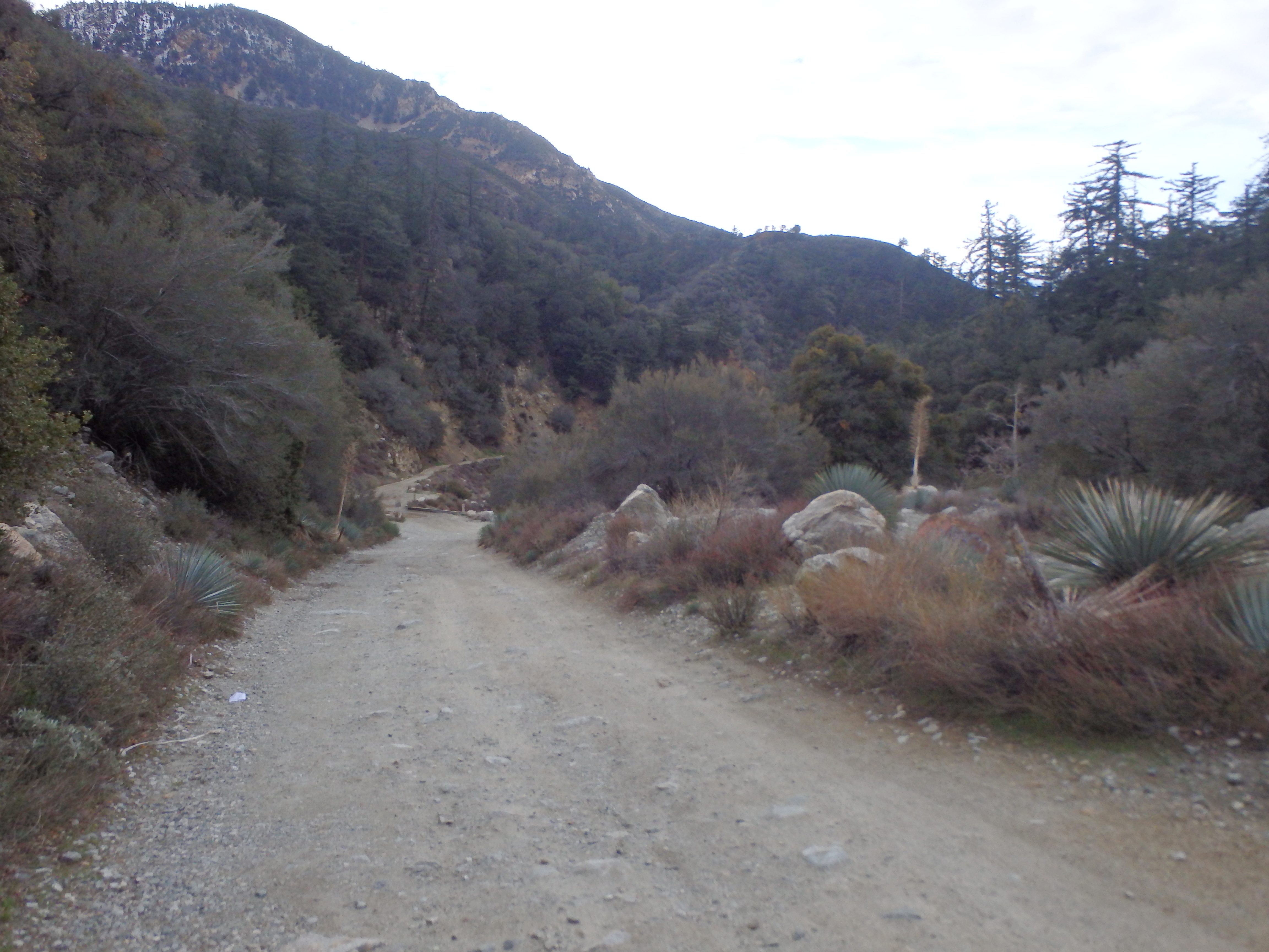
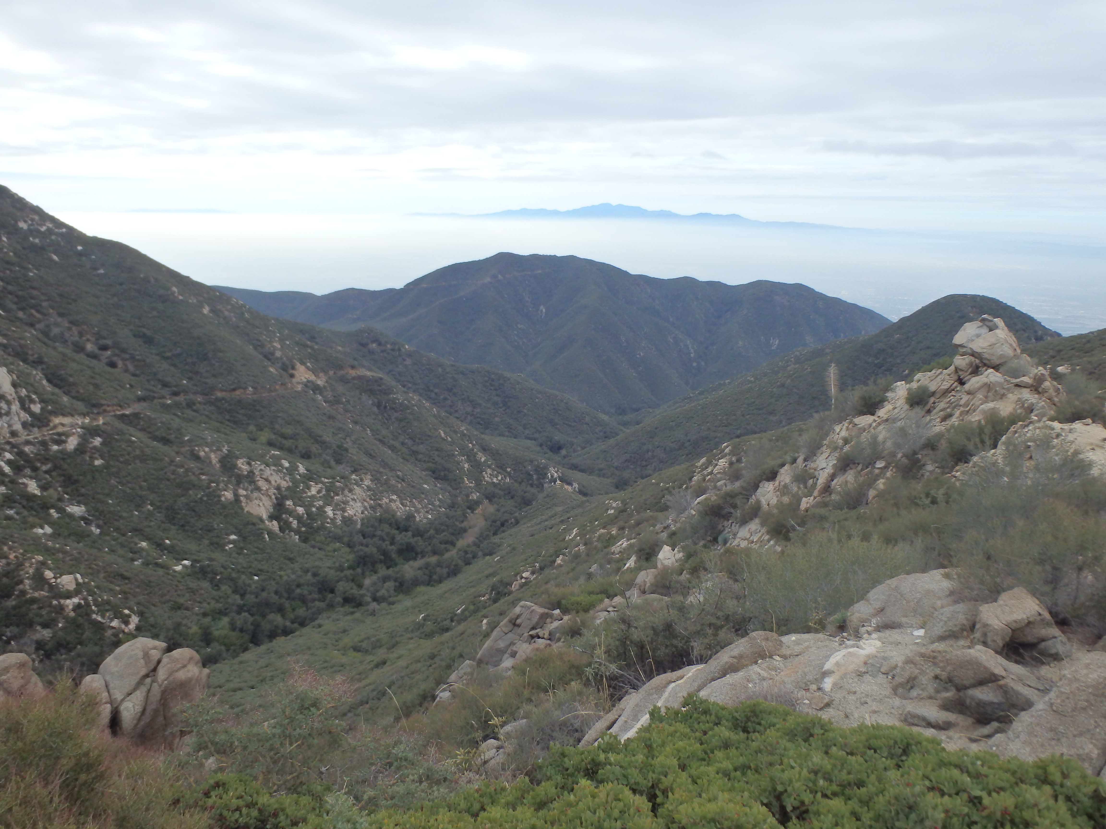
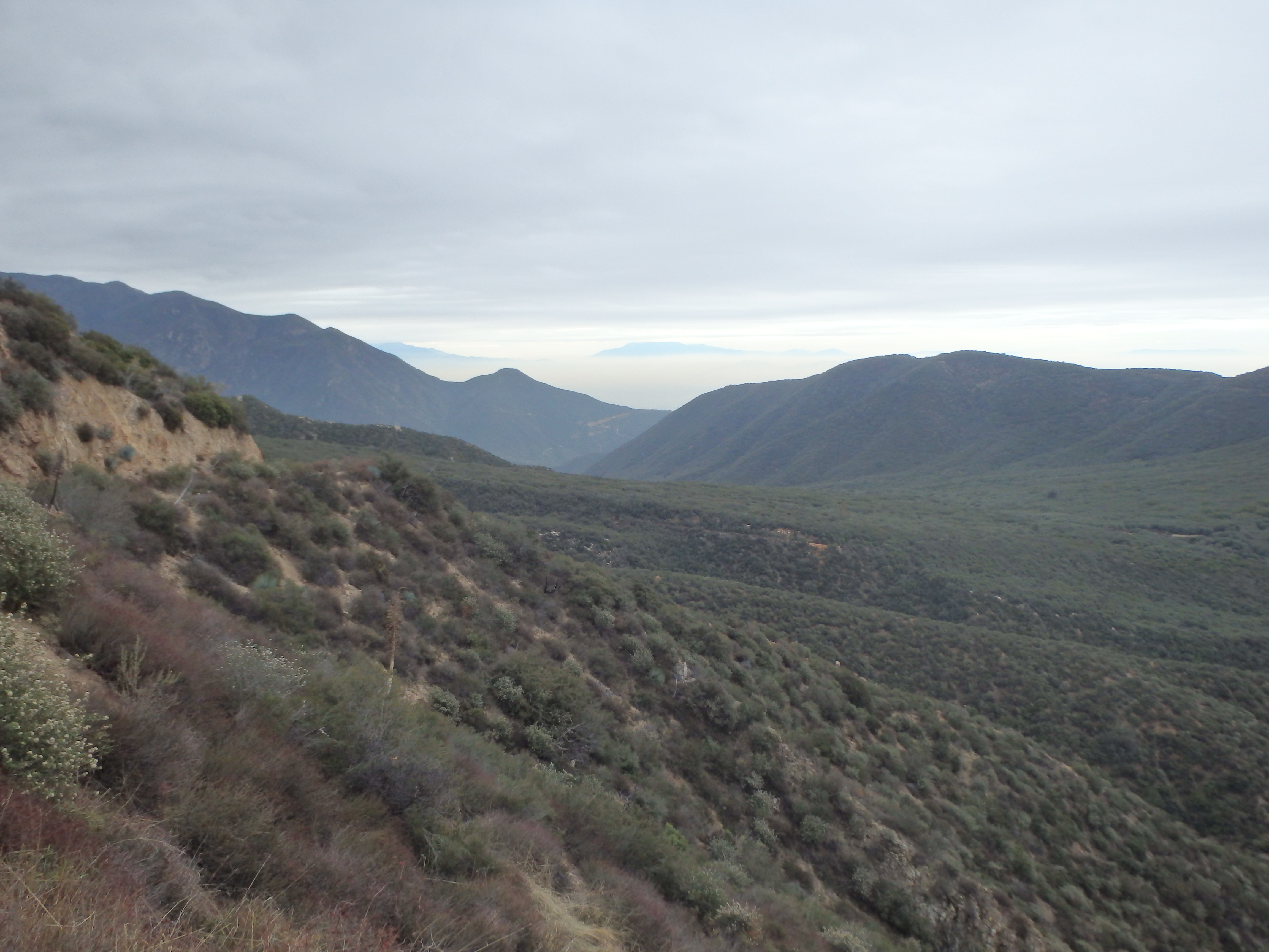
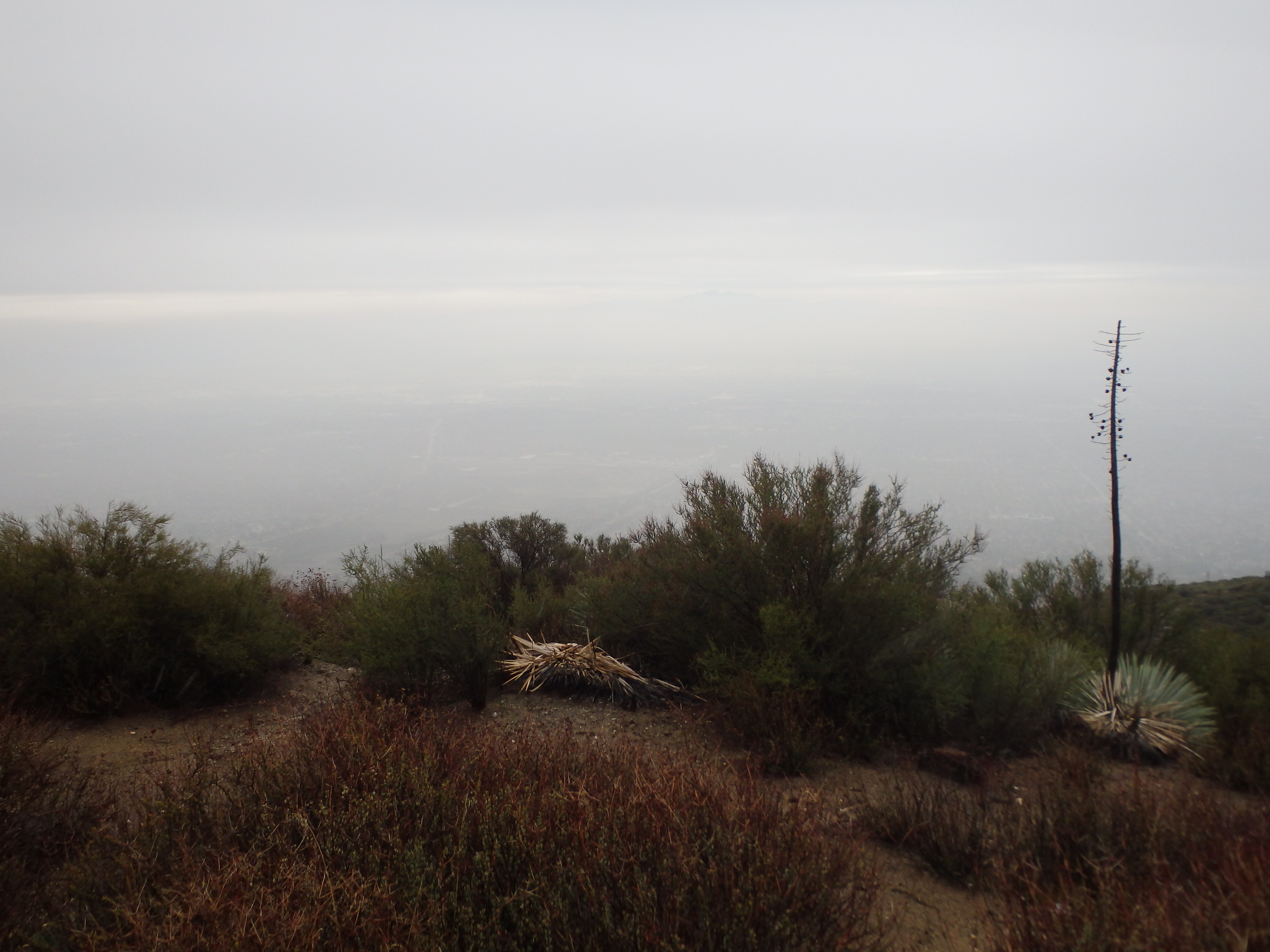
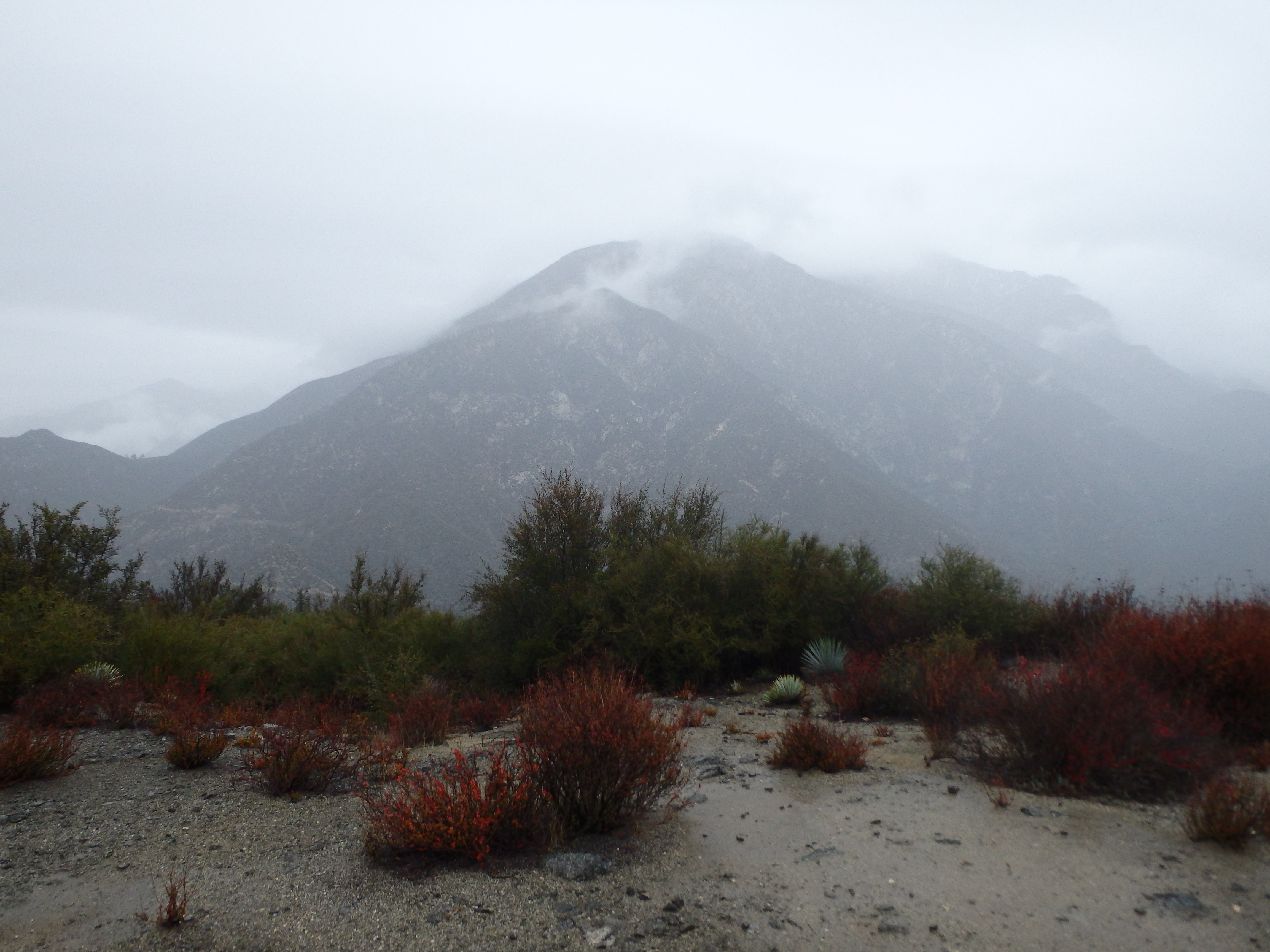
The area seemed to have recently had a controlled burn with patchy areas of soot and charred branches quite close to the homes. Passing through a locked gate just past the cabins, the road left the oak and pine filled canyon to more open scrub and brush typical of the lower elevation San Gabriels. I didn’t have the views of Baldy I was hoping for, socked in by clouds from the incoming storm. But I could see snow across the slopes of Lookout Mountain (which just south of Baldy), and seemed to have found the sweet spot where I was above the smog of the valley below but below the cold and high clouds above. Rounding out of another canyon, I briefly considered tagging nearby Spring Hill sitting just west of the road. But there was no defined route with thick Buckthorn, and after the recent rough descent through Trail Canyon, I wasn’t looking to add on an unpleasant side trip.
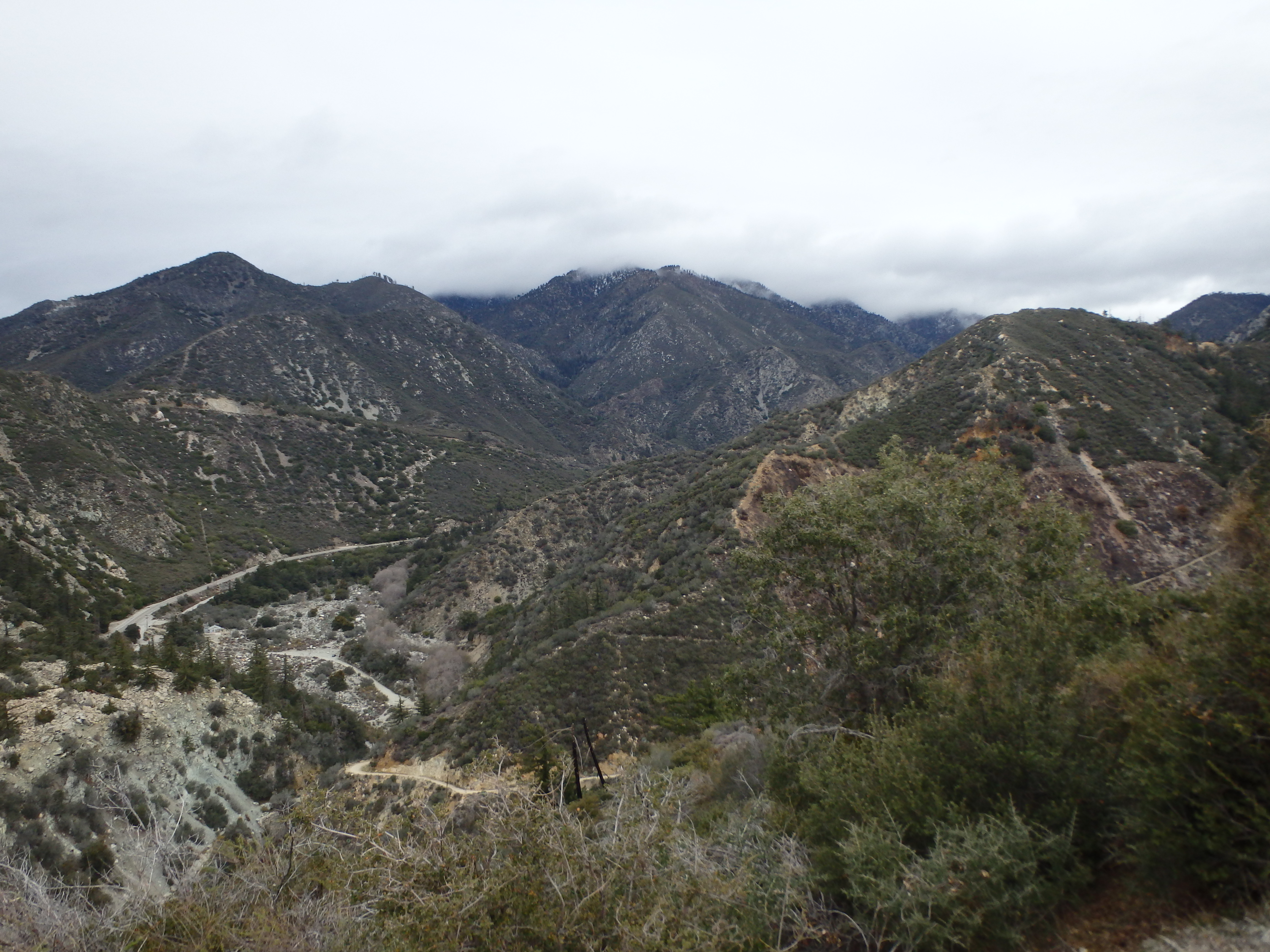
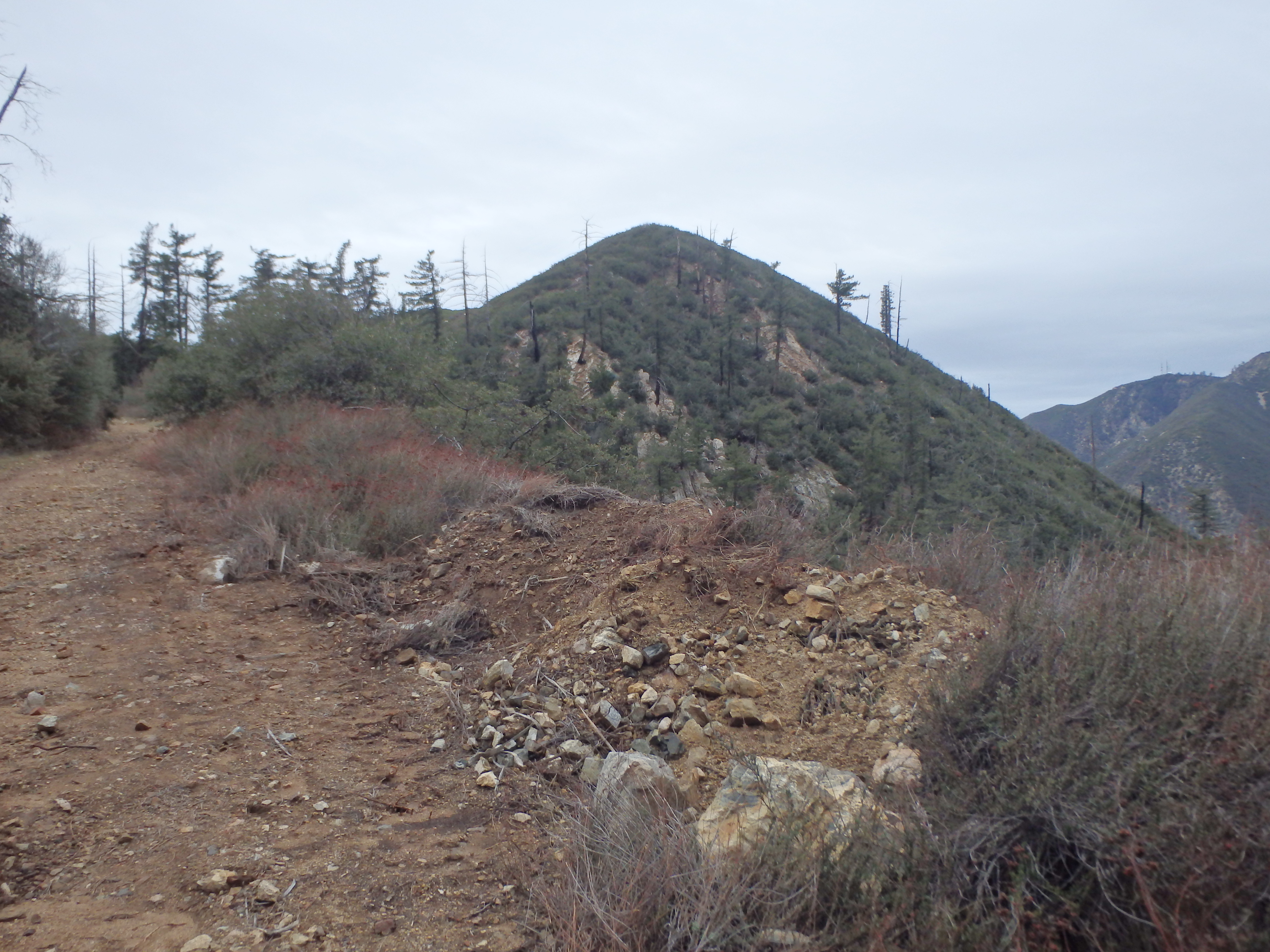
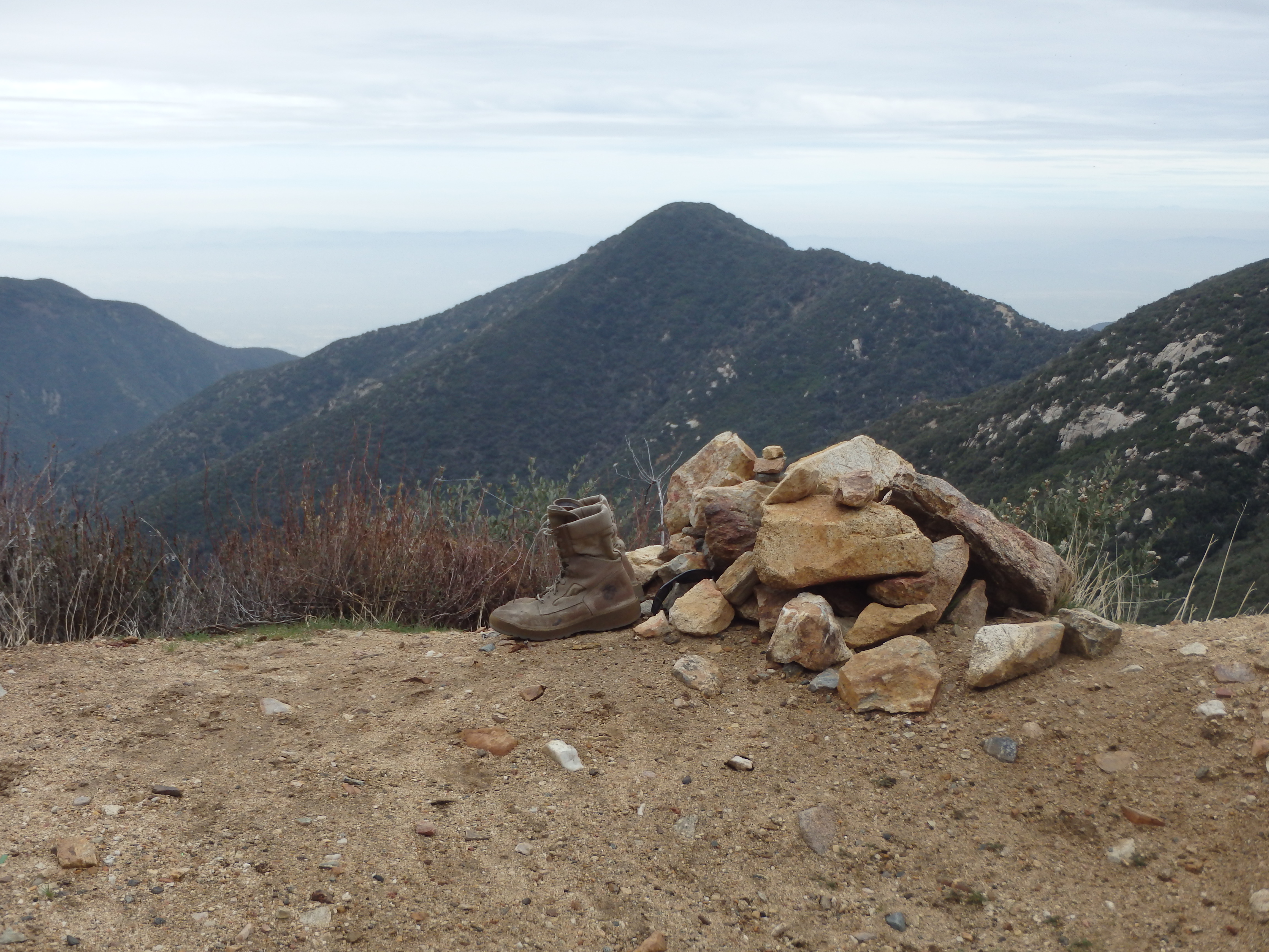
From near Spring Hill I could see Stoddard just a bit further up the road and reached the saddle between Stoddard Peak and Ontario Peak high above in the clouds. A cairn marked the use trail to Stoddard, and after a pair of false summits, I reached the high point. The summit register didn’t go back very far, a pretty popular hike given its proximity to Baldy and overall accessibility. I was surprised to see how far Frankish looked from the summit of Stoddard, and a review of the map indicated a 1000′ descent to the saddle between the two summits.
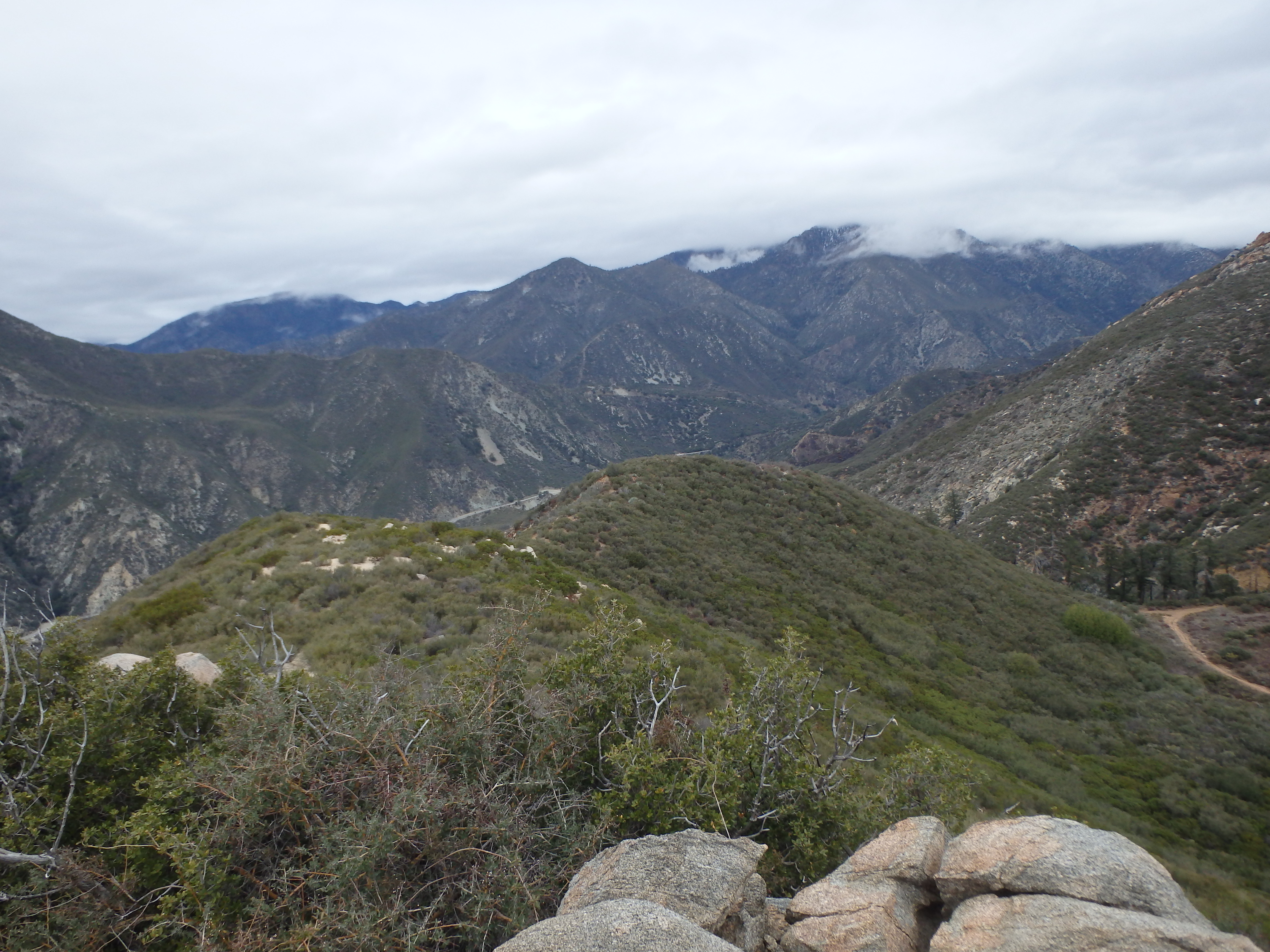
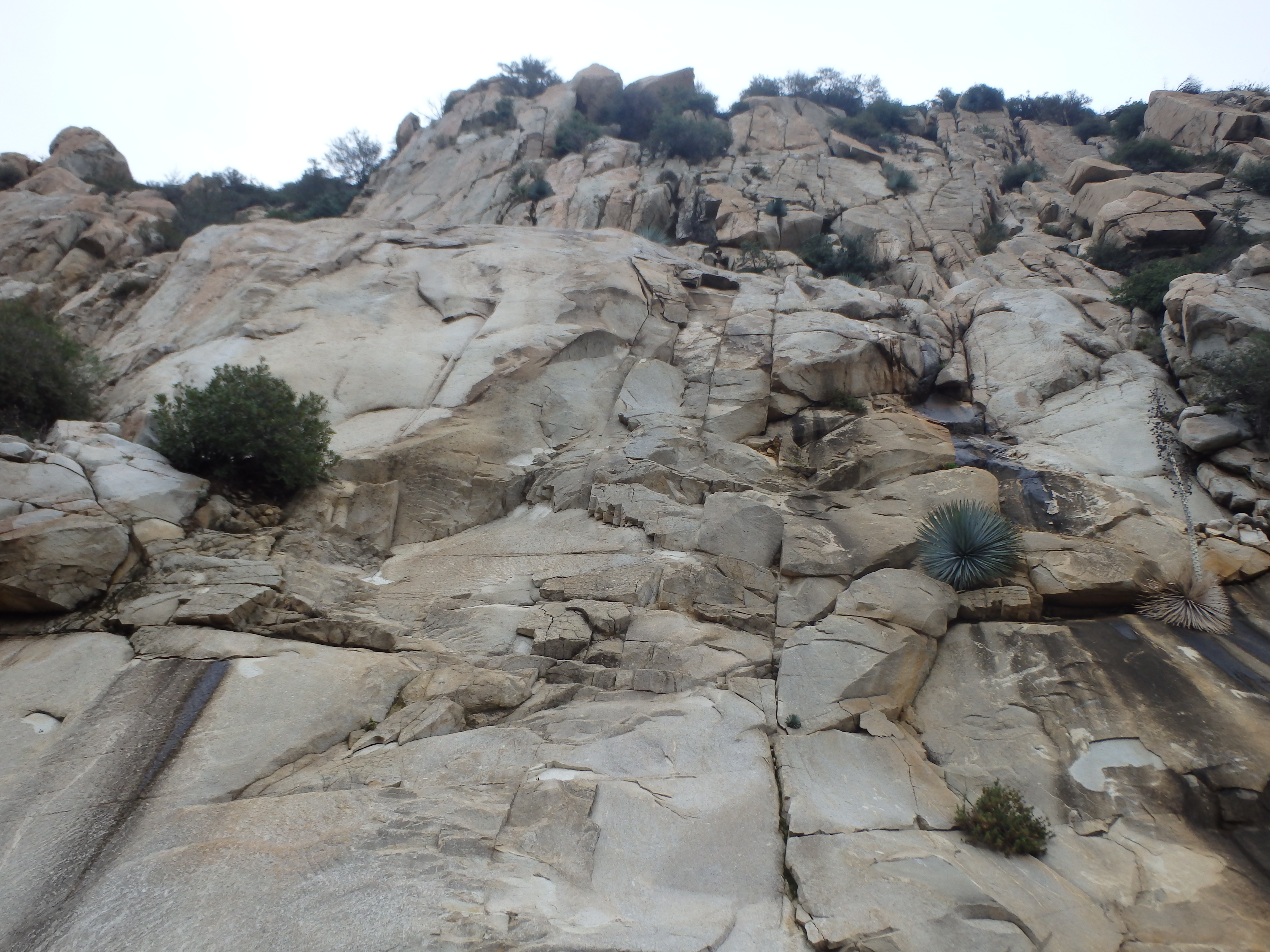
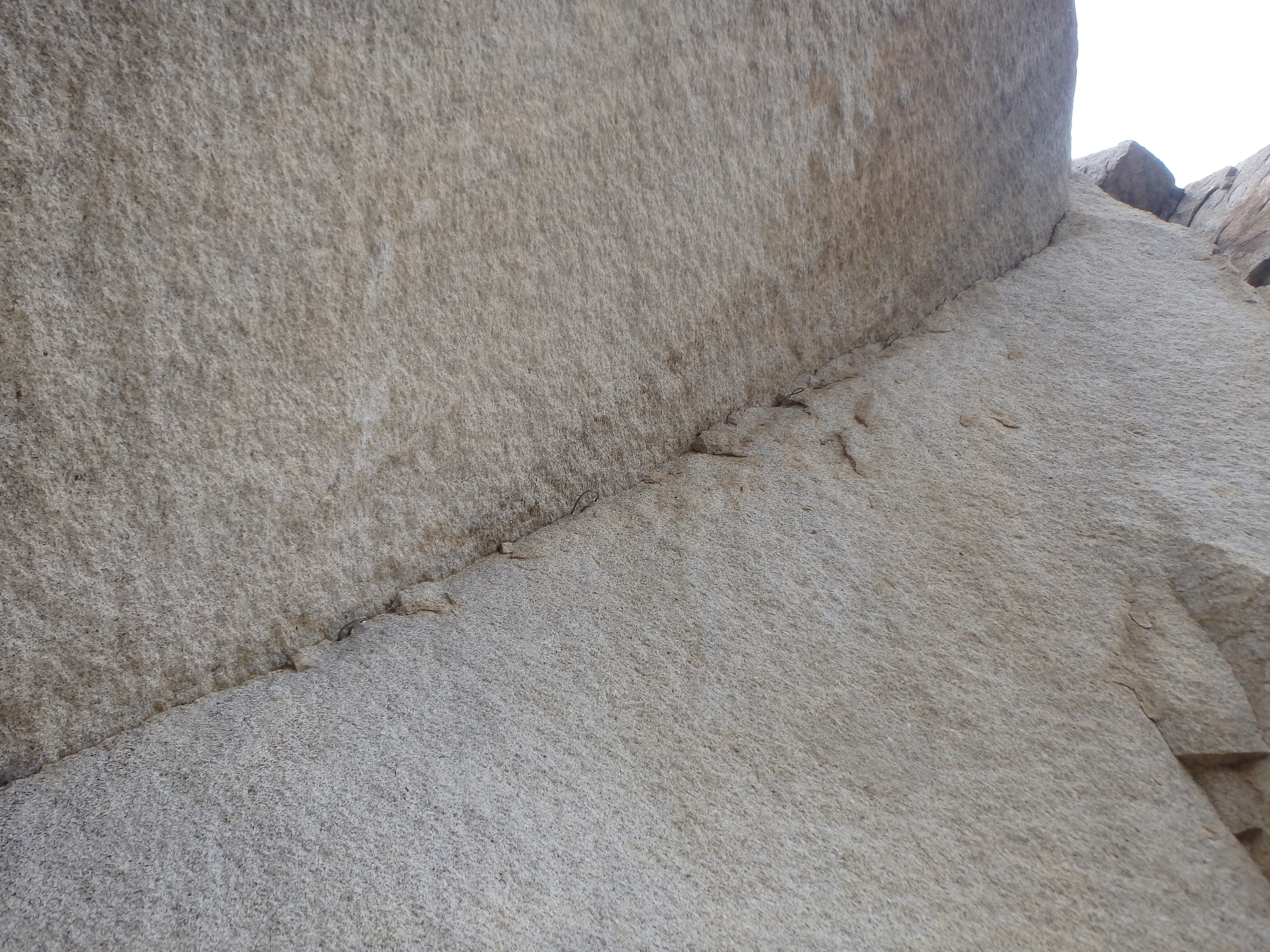
My main goal now was to reach the summit of Frankish before the rain started, and I dropped back to the road off Stoddard. The road continued south at a very easy grade as I slowly dropped to the saddle, passing a number of interesting cliffs en route. Just as I was thinking about how the cliffs held some real rock climbing potential, I spotted some bolts and hangers on the rock above. Soon, I was upon a fully developed crag with at least two dozen sport lines, a few fixed ropes and what looked like an aid route around a roof. I’ve been unable to find any information online about the crag, but would be curious to know more about the area if any reader knows.

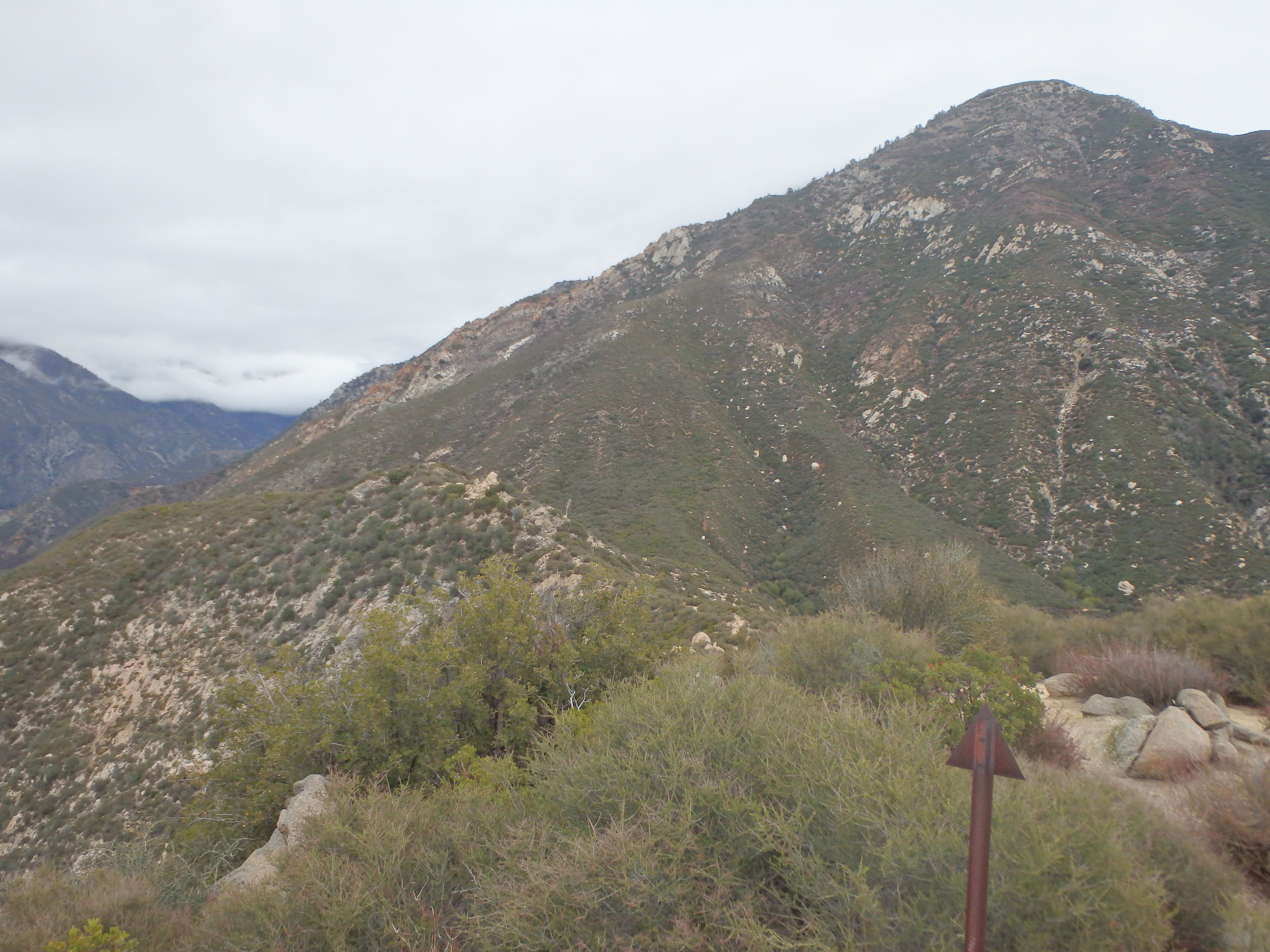
Another half mile past the climbing area, the road hooked east and passed through an open gate. Beyond this gate, the road became much more overgrown, basically single track, although some fresh mountain bike tracks suggested it does still see traffic. Reaching the broad saddle, I could see the road leading up to Frankish Peak above. Unfortunately, getting up there was not entirely obvious. I started up what seemed like an old road, but this quickly deteriorated to a essentially a tree tunnel. Half bent over through the brush and trees, I felt the first rain drops of the day, quickly building in intensity and frequency. I stopped to put on my rain gear, not taking it off for the rest of the day.
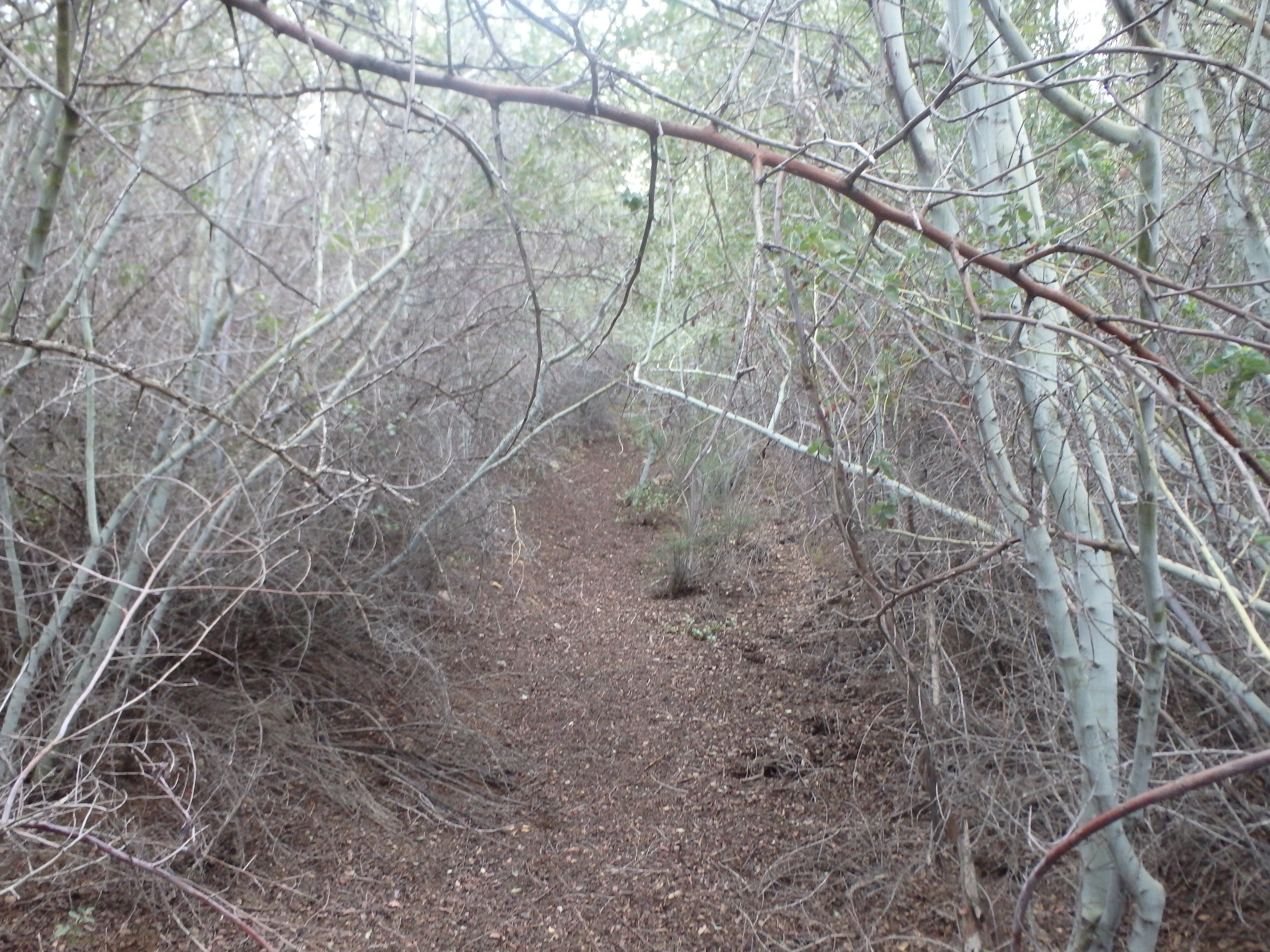
Double checking my map and GPS, this seemed to be headed in the right direction. Sure enough, the tunnel was in fact the overgrown road, which briefly improved to the first switchback. Beyond that the road was easy to follow but pretty horribly overgrown, made worse by the fact that the brush was now completely saturated, soaking me to the bone every time I had to fight my way through. Just beneath the summit, I debated trying a use trail directly up the east ridge versus the road which slowly works around to the west side. I was hopeful that the road would be less brushy but actually found it to be the worst part of the route. And of course, just as I hit the summit, the rain increased in intensity with no trees for cover.
I signed into the register (not surprisingly far less entries than Stoddard) and dropped off the east side, finding it much more forgiving than the road. I fought my way down the overgrown road, back to the brushy tree tunnel and to the saddle, where I felt I could finally relax. Although the rain didn’t stop the entire return hike, I at least didn’t have to worry about bushwacking the remaining distance back to my car, which I reached at about 2:30PM. Although I did have enough time to bag something small nearby, I really just wanted to be warm and dry and instead changed my clothes and headed to a friends house for a warm shower before my flight. Unfortunately I found a tick burrowed into my waist line later that night at the airport, which I had presumably picked up somewhere on Frankish. This triggered a refresher course on the various tick diseases on my phone in the airport. Thankfully, there are very few tick borne diseases in California, and most diseases don’t have enough time to spread unless the tick is attached for 24 hours. One month later, still rash free….