
Kendrick Peak 10,418′
Total Time: 5:30
Distance: 9.4 miles
Elevation Gain: 2620′
Crux: Class 1
Trailhead: Kendrick Mountain TH, high clearance, pit toilets
Companions: Holly


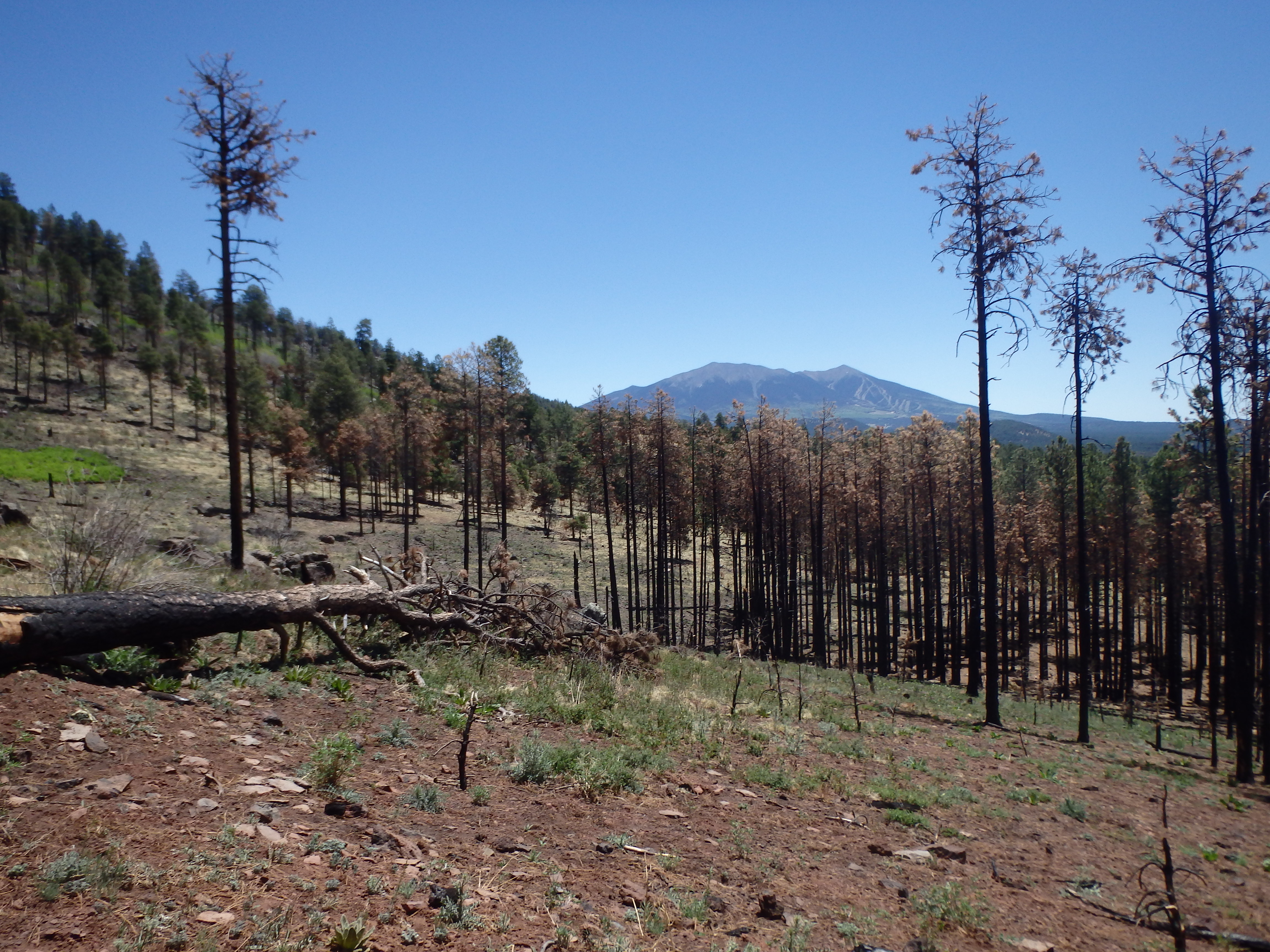
Kendrick Peak was one of the first mountains I hiked when I moved to Arizona. It was only a week or two before starting this website (and owning a GPS), and at that time I had the mountain all to myself, most hikers lured by nearby Humphreys. But a dry winter and a slow start to monsoon season resulted in a preemptive closure of large swaths of Coconino National Forest including the main Humphrey’s massif, with only peaks west of US 180 open to recreation. Holly and I were looking for a summit to acclimate before Gran Paradiso, and Kendrick Peak was the highest we could legally get without driving towards Pinetop and hiking around Mount Baldy. So we headed to Flagstaff one of the first weekends of the closure to get a little altitude before our trip. Unlike my first hike, the trailhead was packed, no doubt one of the better trails still open. We started up the trail, initially working through an open burn area before switching upslope.

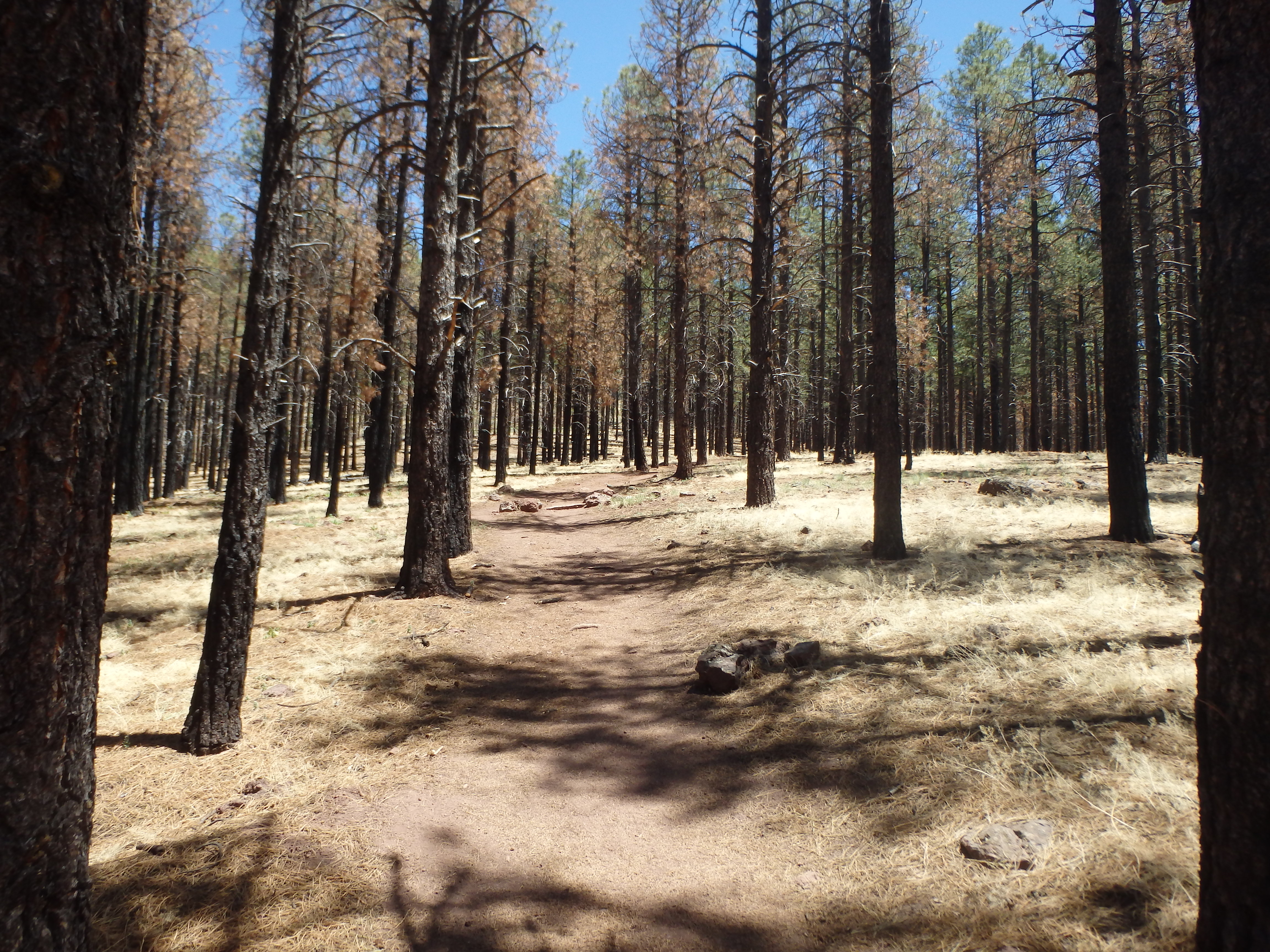
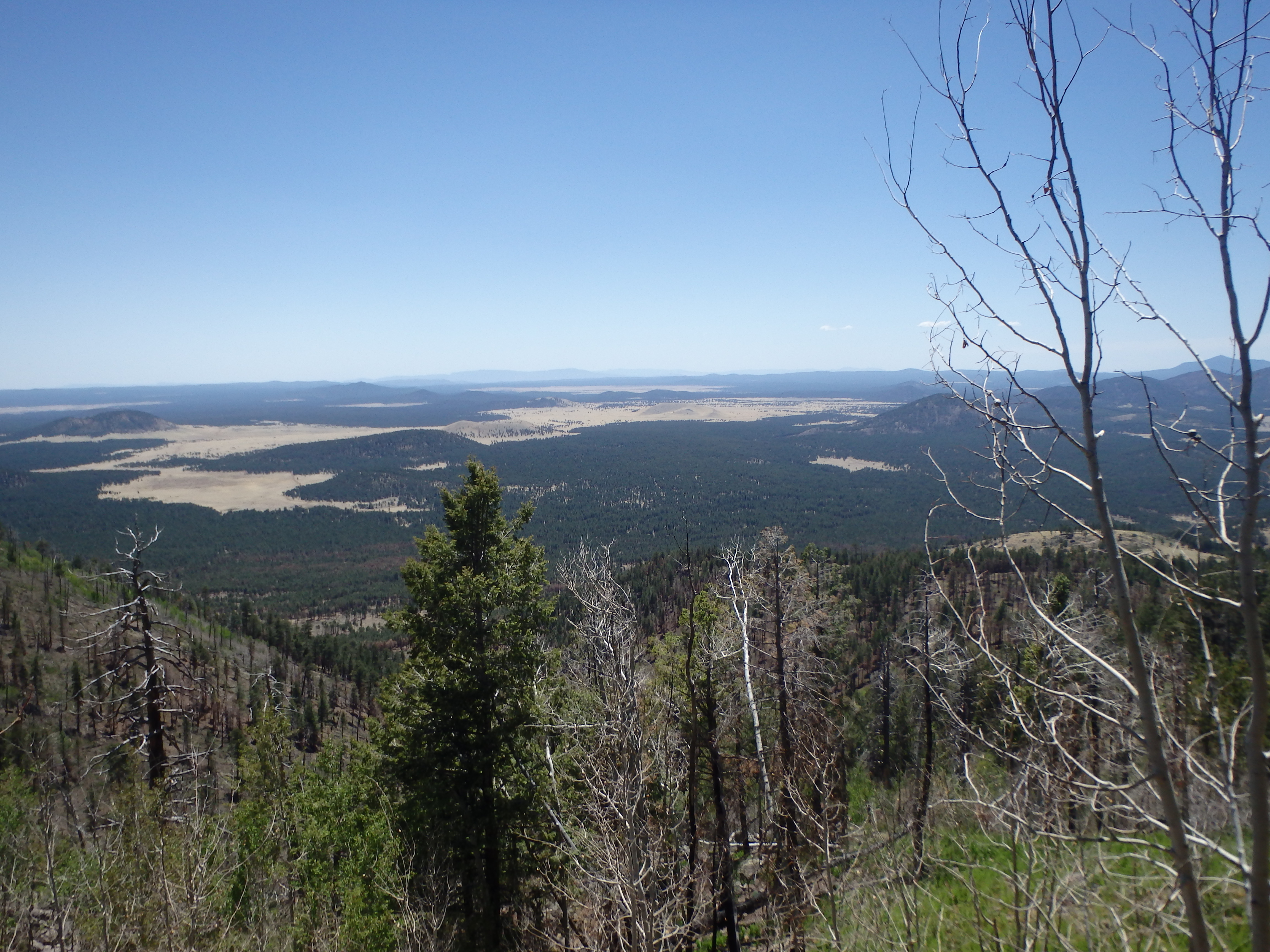
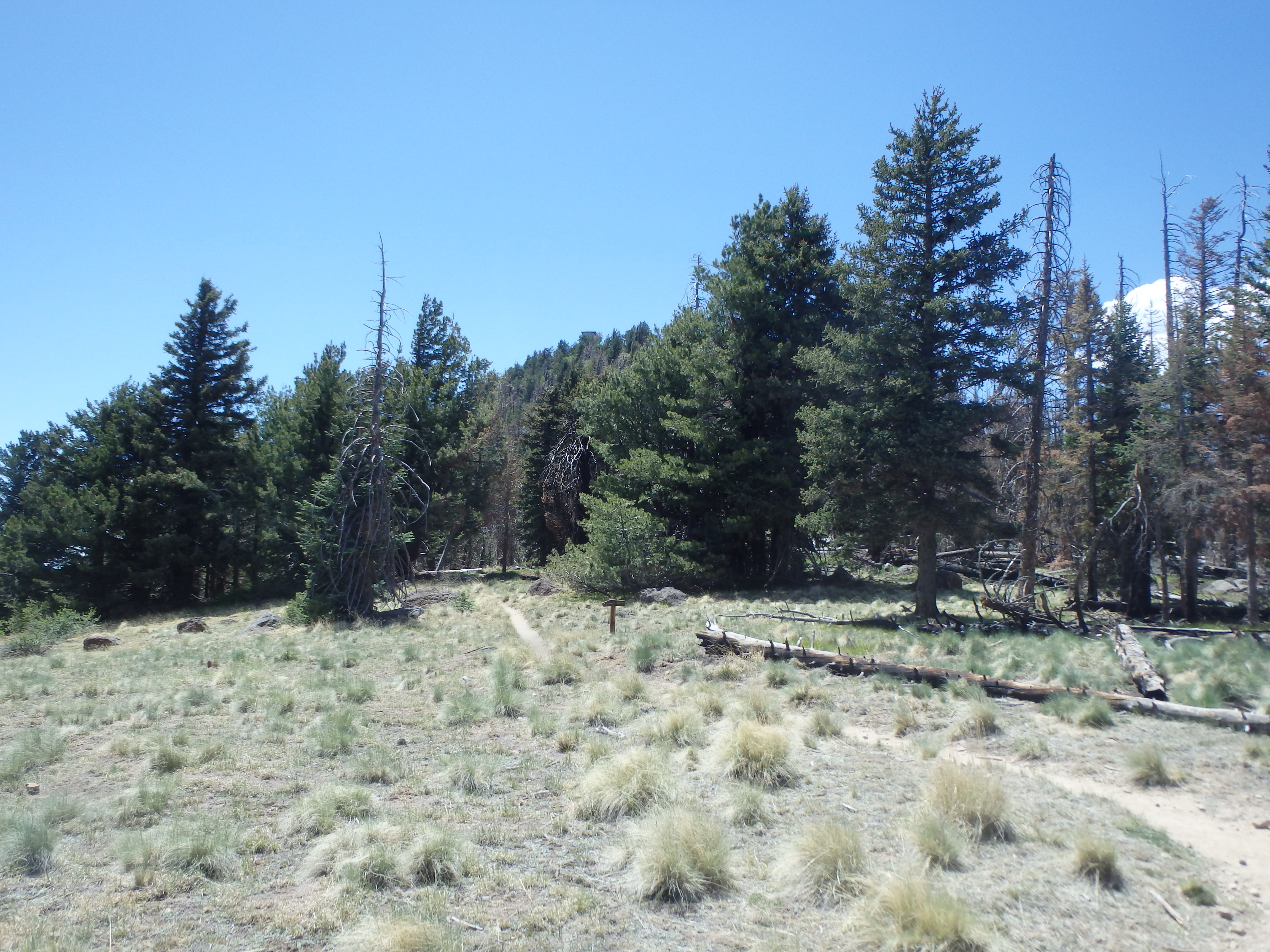
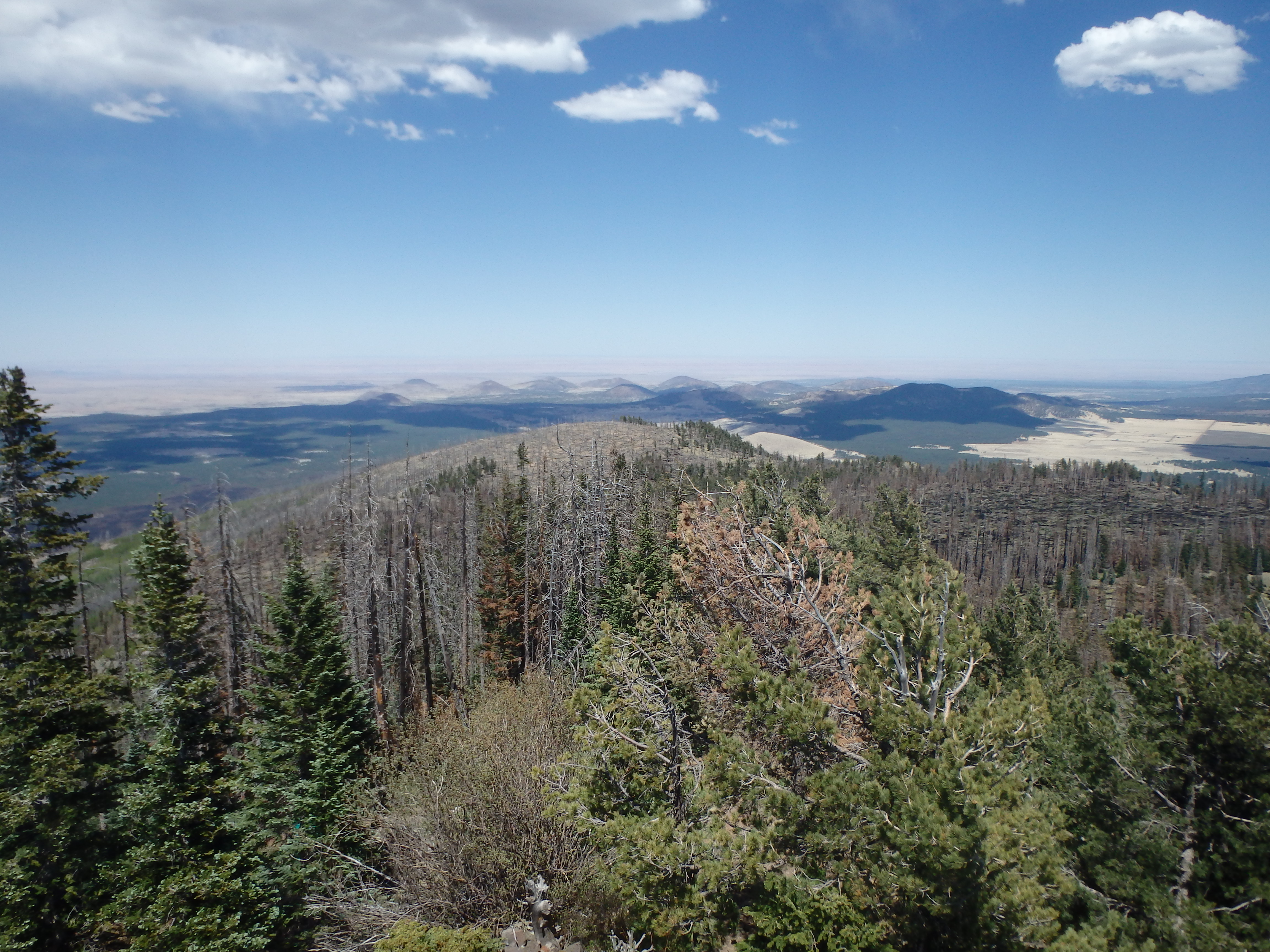
The trail slowly worked up through the pines, eventually leaving the burn area as we crested onto a small ridge. The summit ridgeline was in view up above, and as we climbed, we entered small patches of Aspens. The views across the San Francisco Volcanic Field opened up beneath us, although Humphreys was out of sight for much of the climb on the southern slopes.
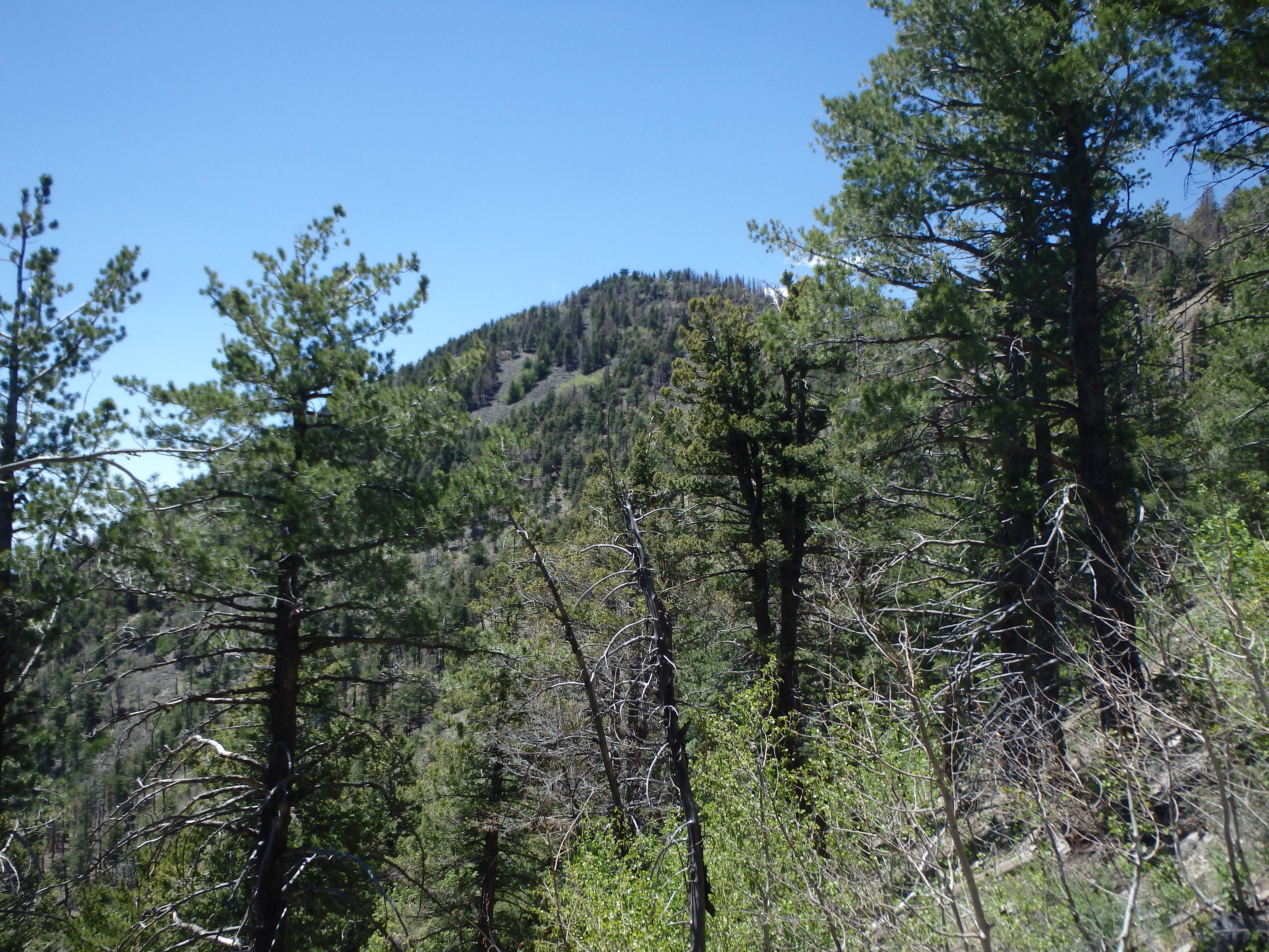
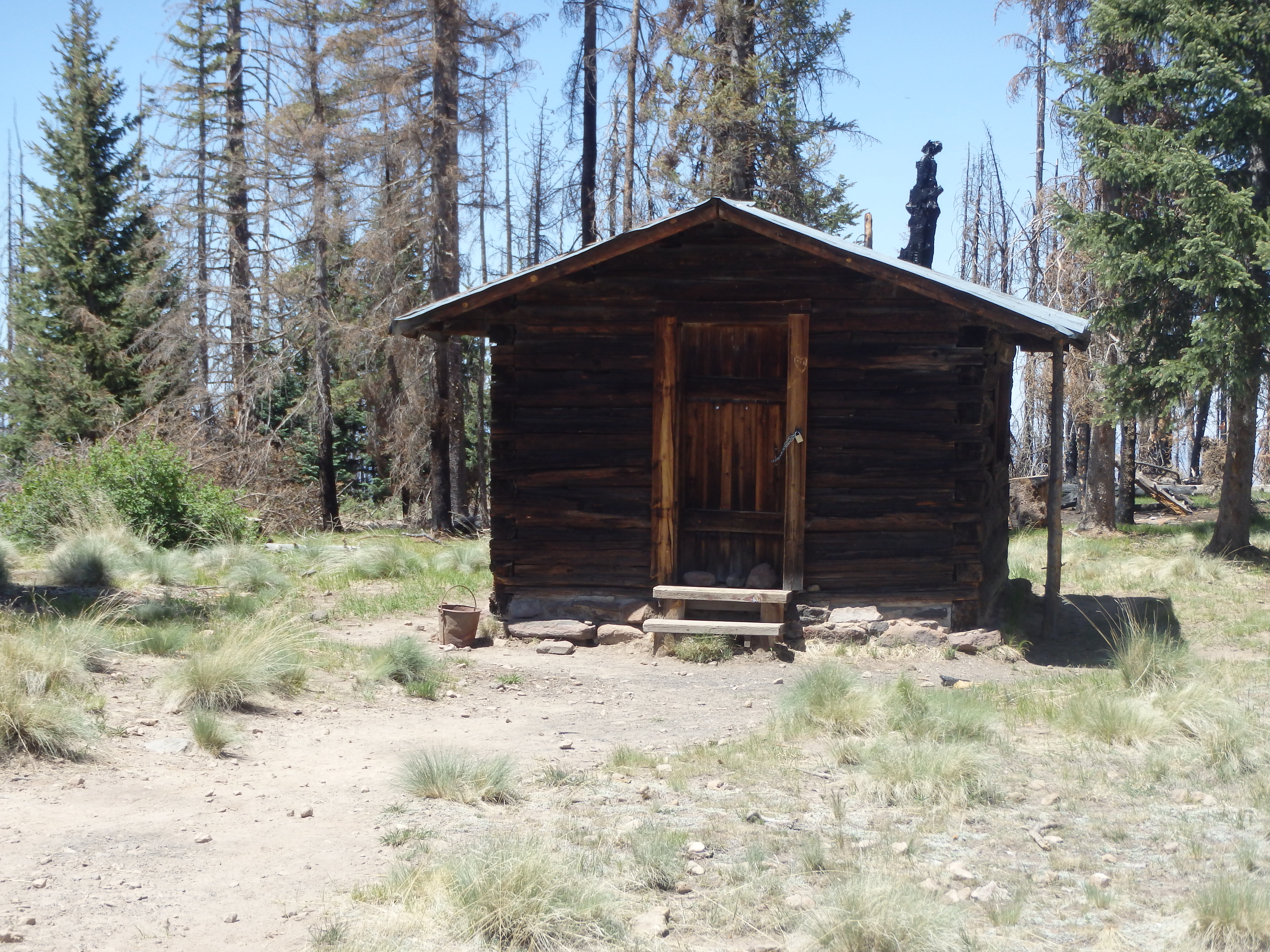
The trail ultimately switches up to a shallow saddle between the high point and a false summit to the east, with a backcountry forest service cabin making a nice spot to take one final break before the top. The cabin was padlocked shut, but I believe you can obtain a permit and combination from the forest service to spend the night.
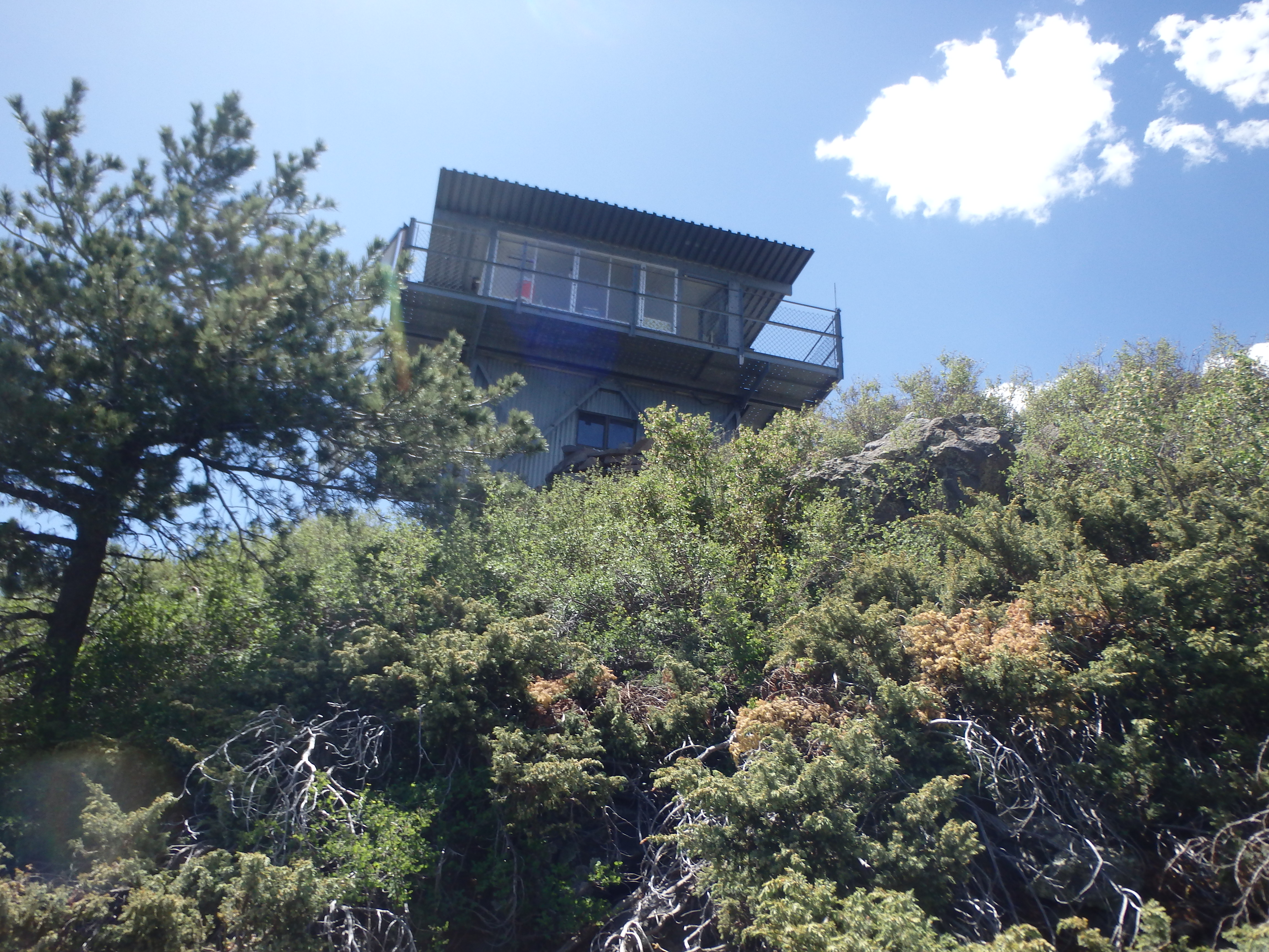
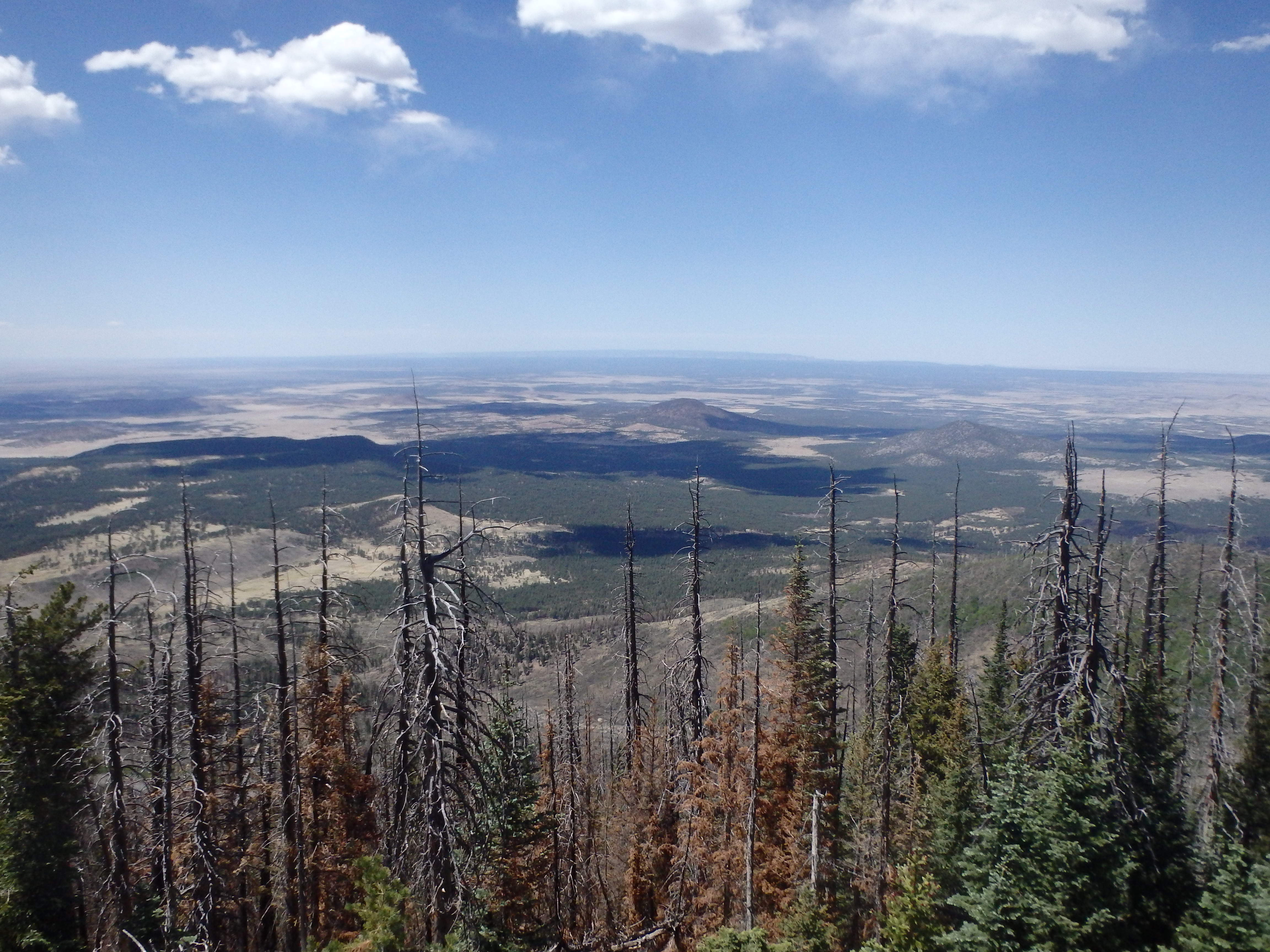
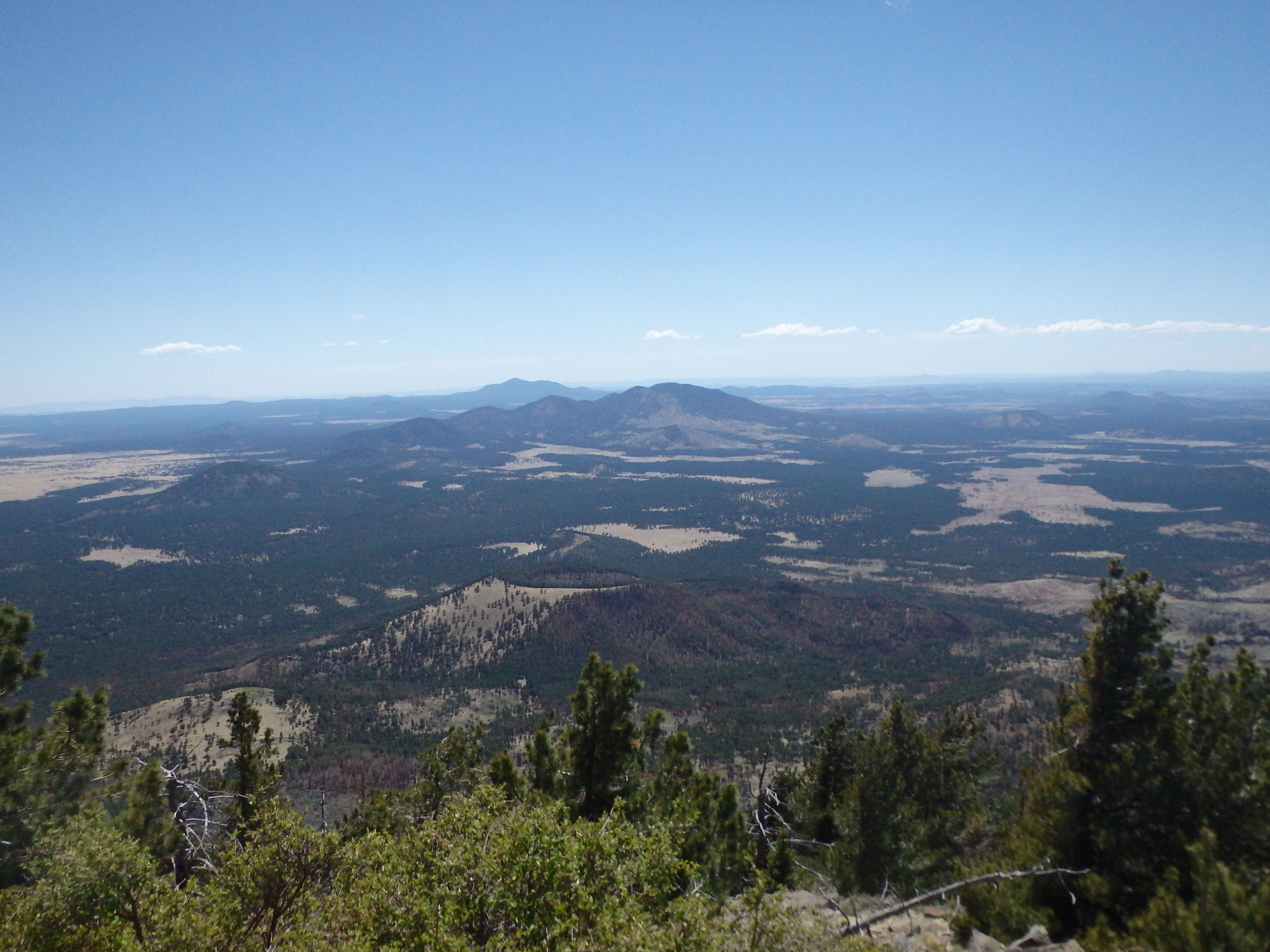
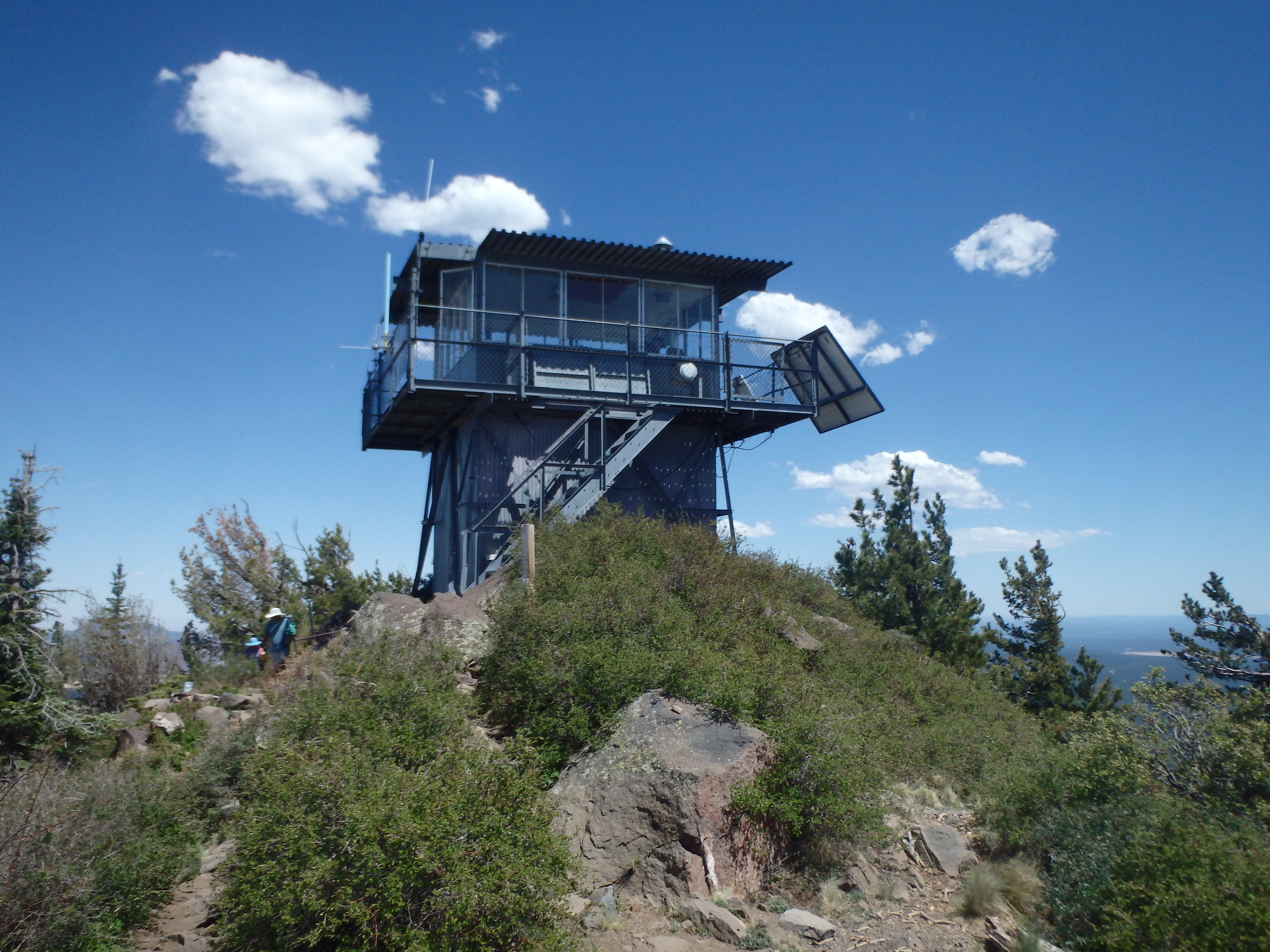
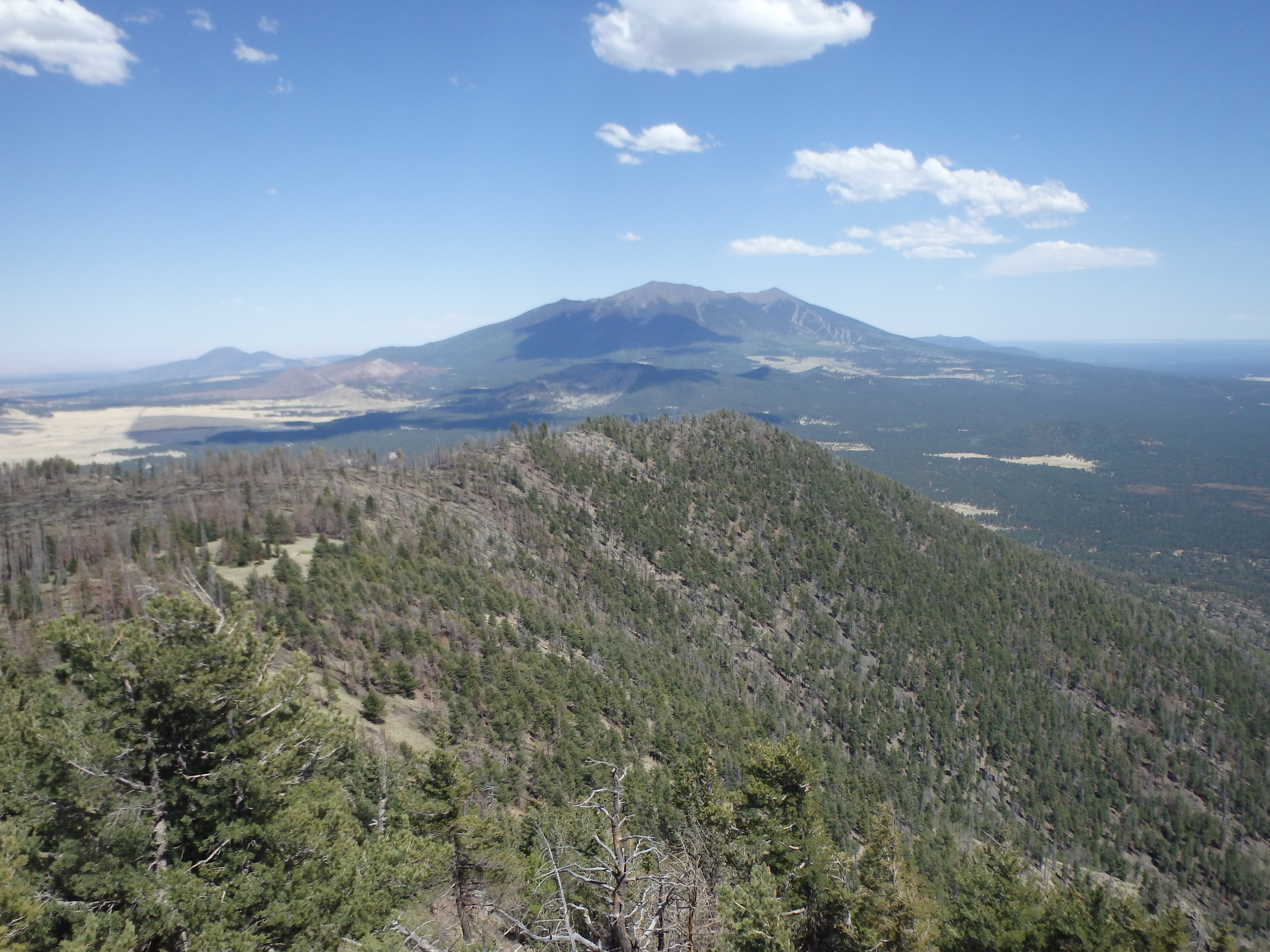
The summit appeared deceptively close, and we pushed up the final set of switchbacks to the concrete helipad beneath the lookout towards where about 10 other groups were enjoying lunch. We sat down to take a break, but then decided to head up into the lookout tower to get away from swarms of small flies (and people). The views from the top were as good as I remembered, with the Grand Canyon to the north, Red Mountain and Slate Mountain to the northwest, Humphreys to the east and the smaller summits of the SF Peaks to the south.
Having eked out as much altitude as we could for acclimatization, we started back down the switchbacks, conversation already turning to the post hike beers and dinner. The descent was overall uneventful, and we made it to the car about 5.5 hours from starting out with a nice summit break. We headed into Flag for dinner before setting up camp outside of town for a second day of hiking.