Peacock Peak 6292′
Total Time: 2:00
Distance: 3.0
Elevation Gain: 1600′
Crux: Class 2
Trailhead: End of Hensz Way, 4WD, no services


Peacock Peak is a fairly obscure summit in northwestern Arizona. It, along with 5 other peaks, make up a collection of Arizona Prominence 2000 summits in easy striking distance of the US 93 between Kingman and the AZ-NV border. I hoped to bag all 6 in three days with Peacock being the first on the list. I followed the instructions to reach the peak found on peakbagger.com, utilizing a series of surprisingly good roads east of the Kingman airport, seeming graded for a development that never happened. These roads led all the way to the base of the peak, where I hooked right onto another dirt road that began to weave up the mountain.
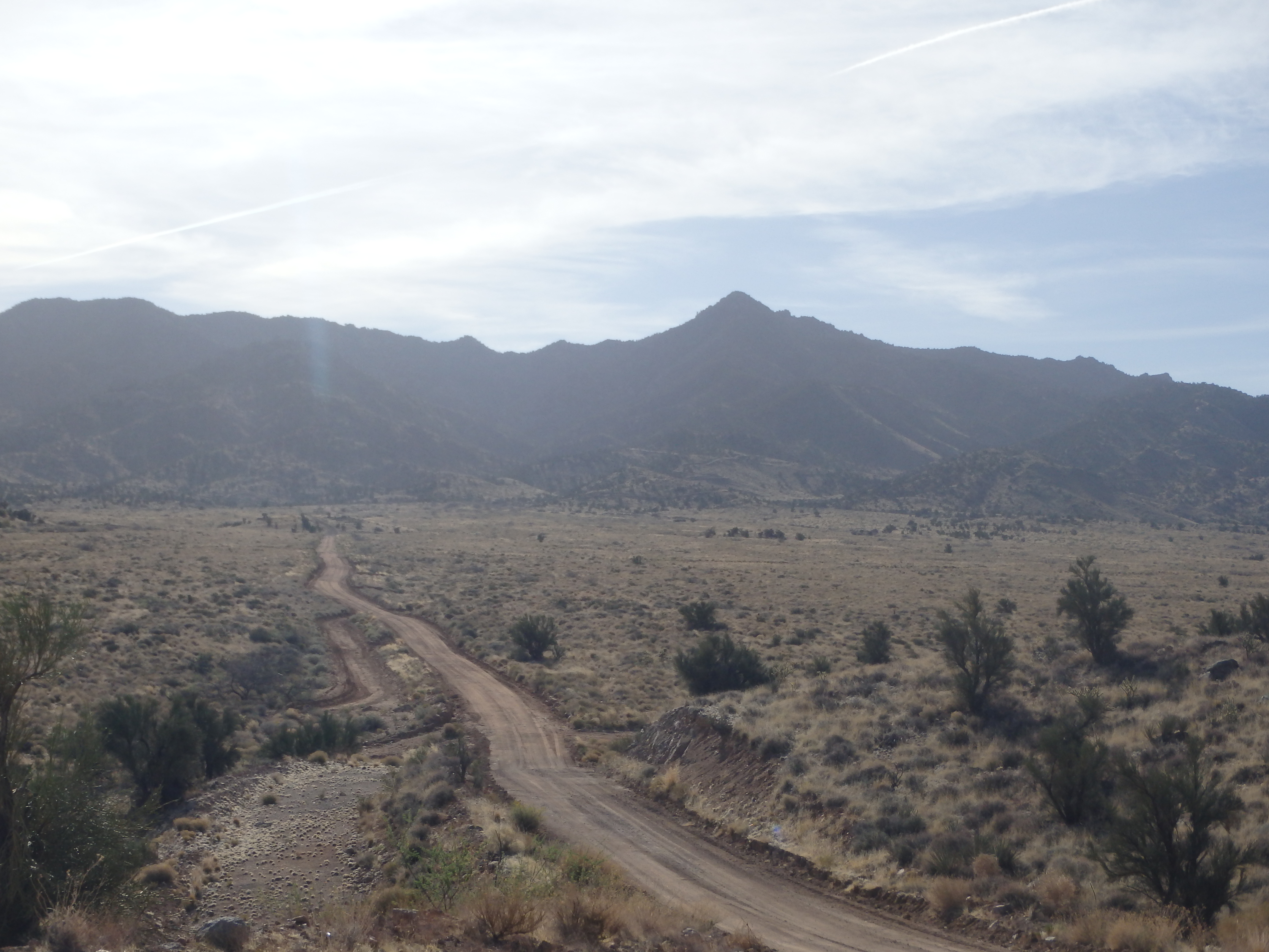
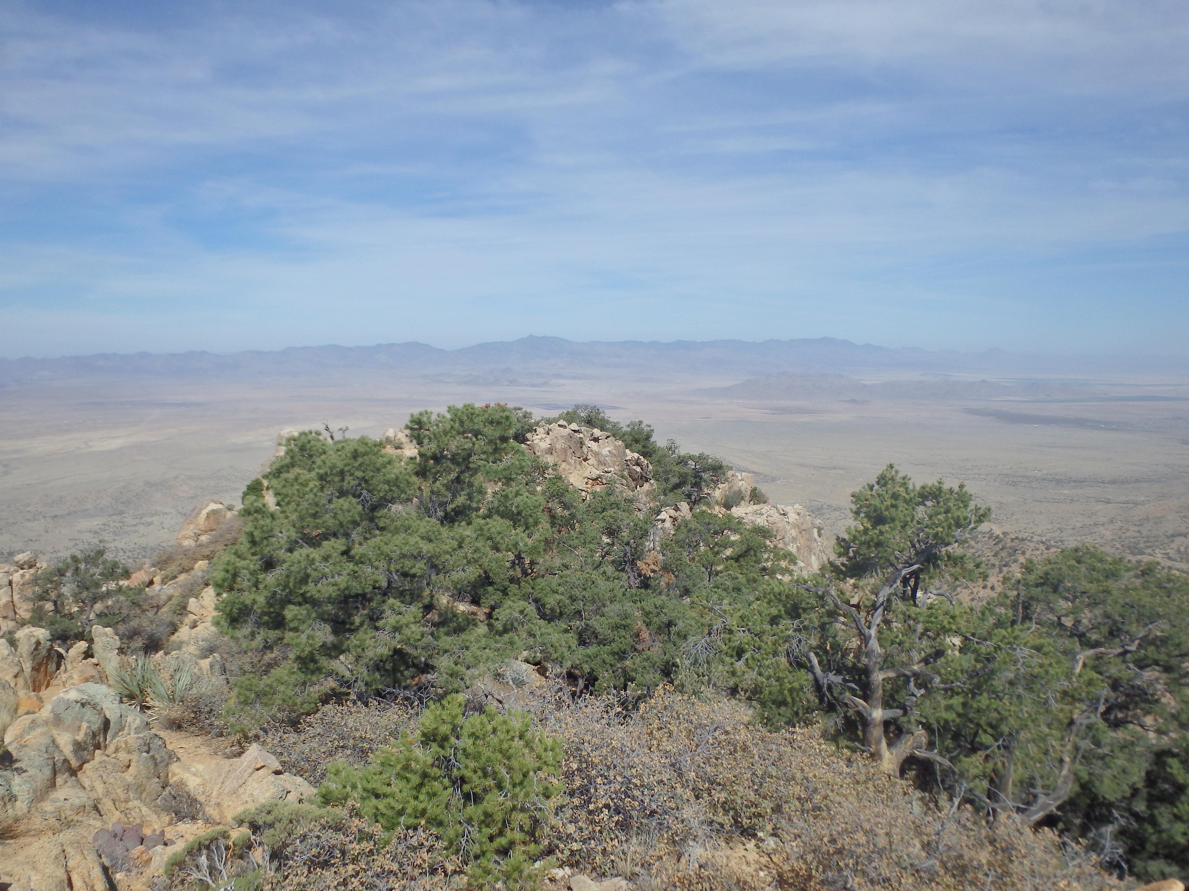
There was really only one spot nearly to the end where high clearance would be required, and I quickly reached the end of the road at a plowed berm of earth. The summit had been visible for most of the drive in but was just out of view from one of the false summits on the connecting ridgeline. So I started up, utilizing mostly game trails with very little evidence of human traffic along the ridge. Getting over the initial bump on the ridgeline was probably the steepest part, and I followed the undulating ridge through the high Mojave scrub of Juniper and Pinyon pine with scattered cacti and yucca.

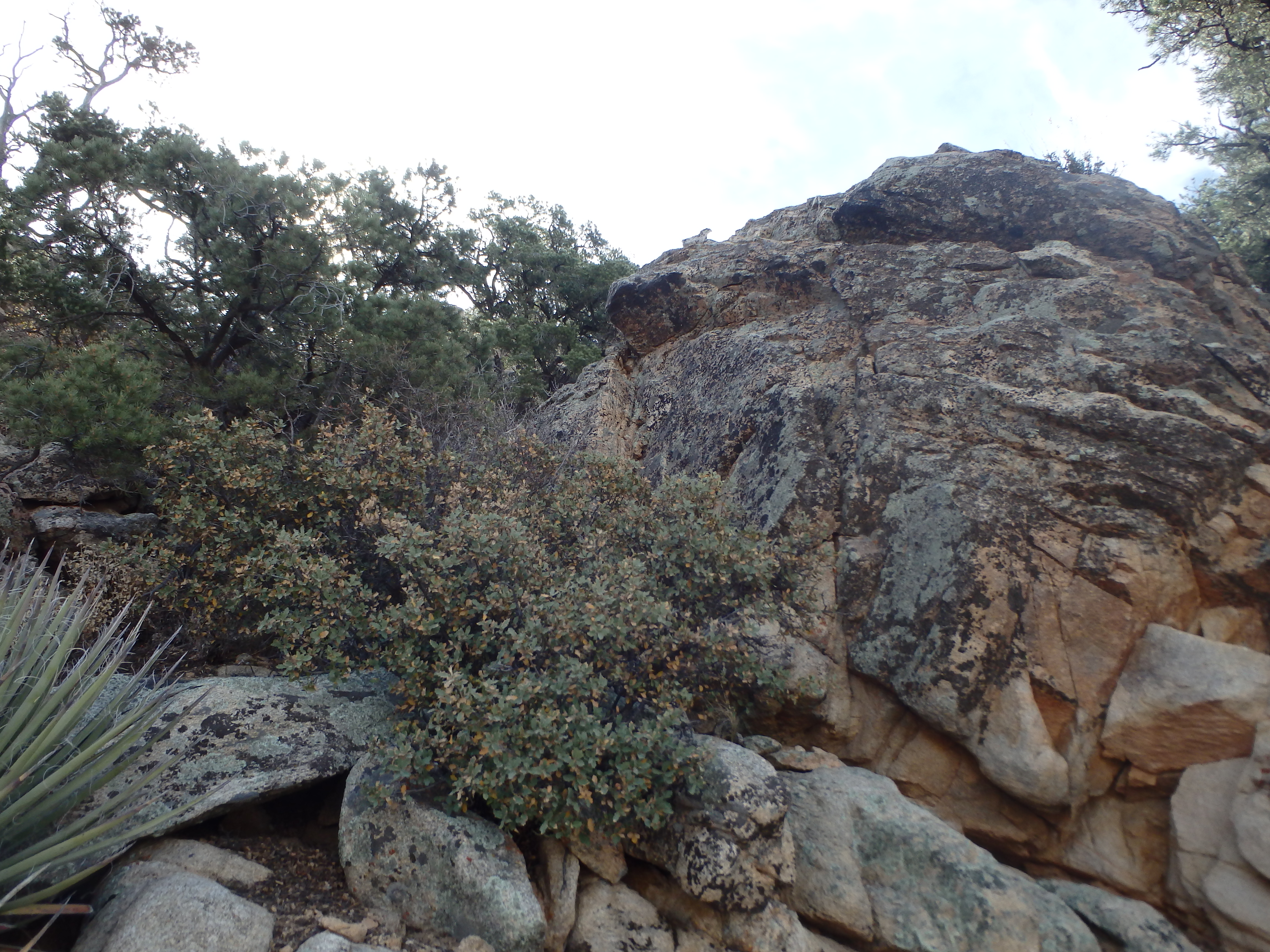
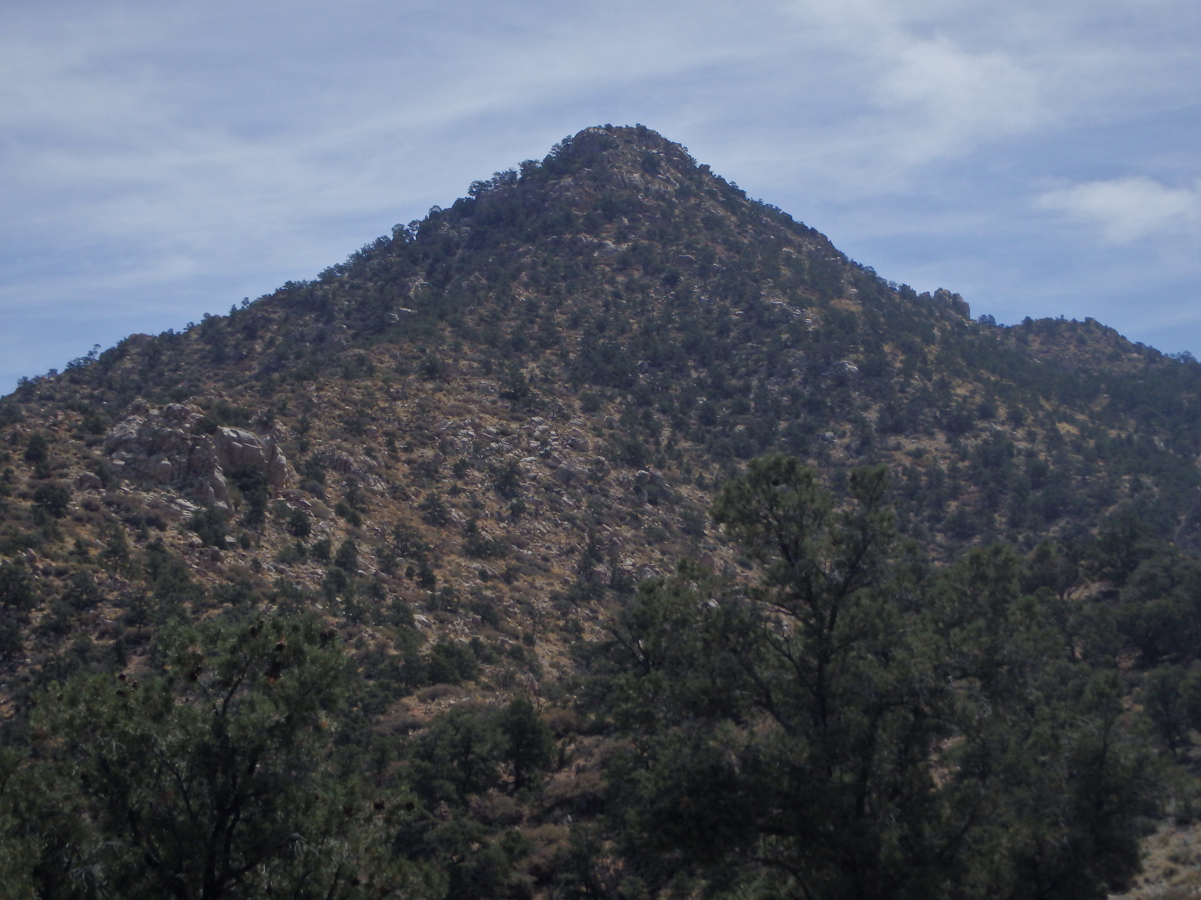
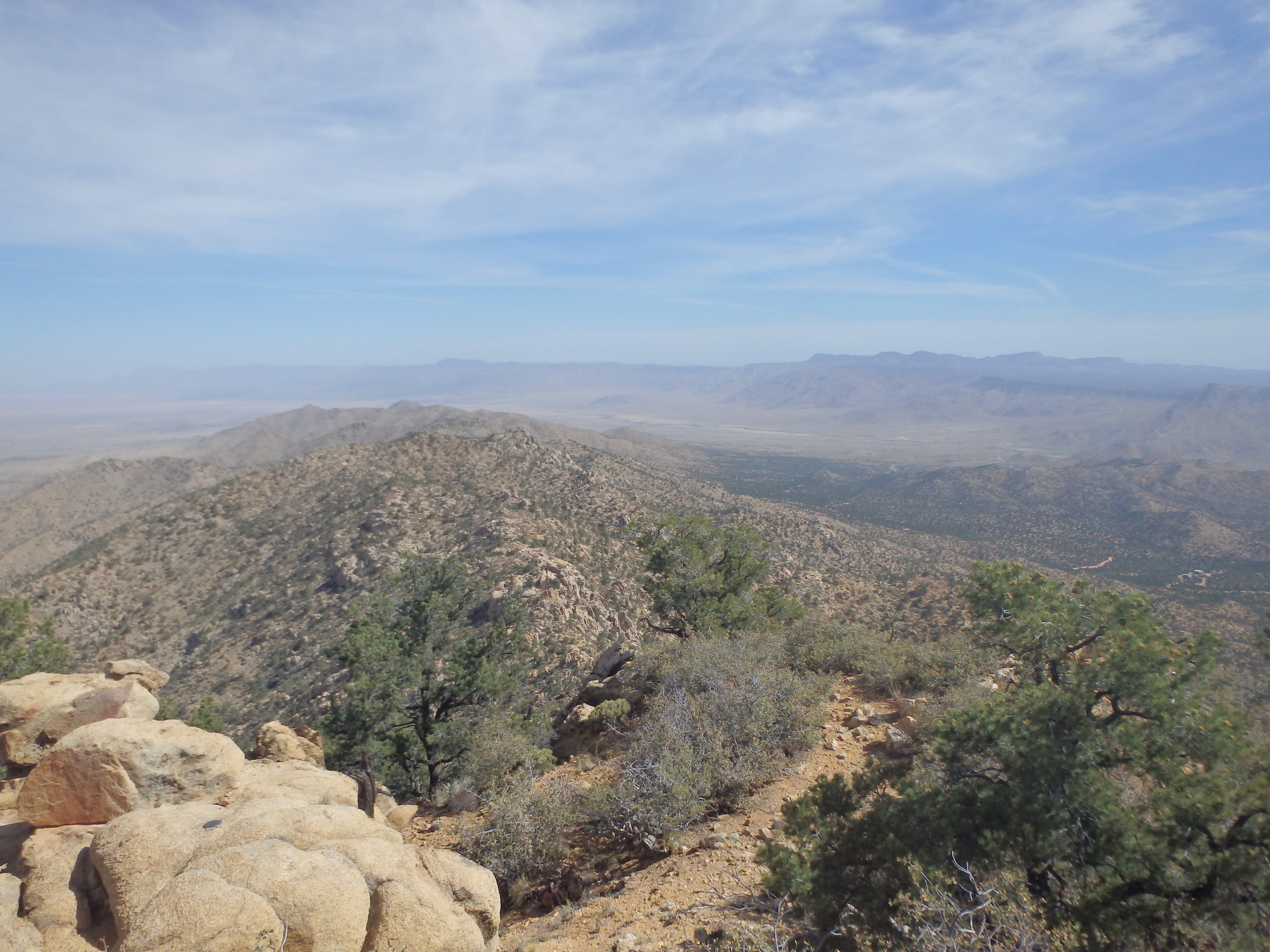
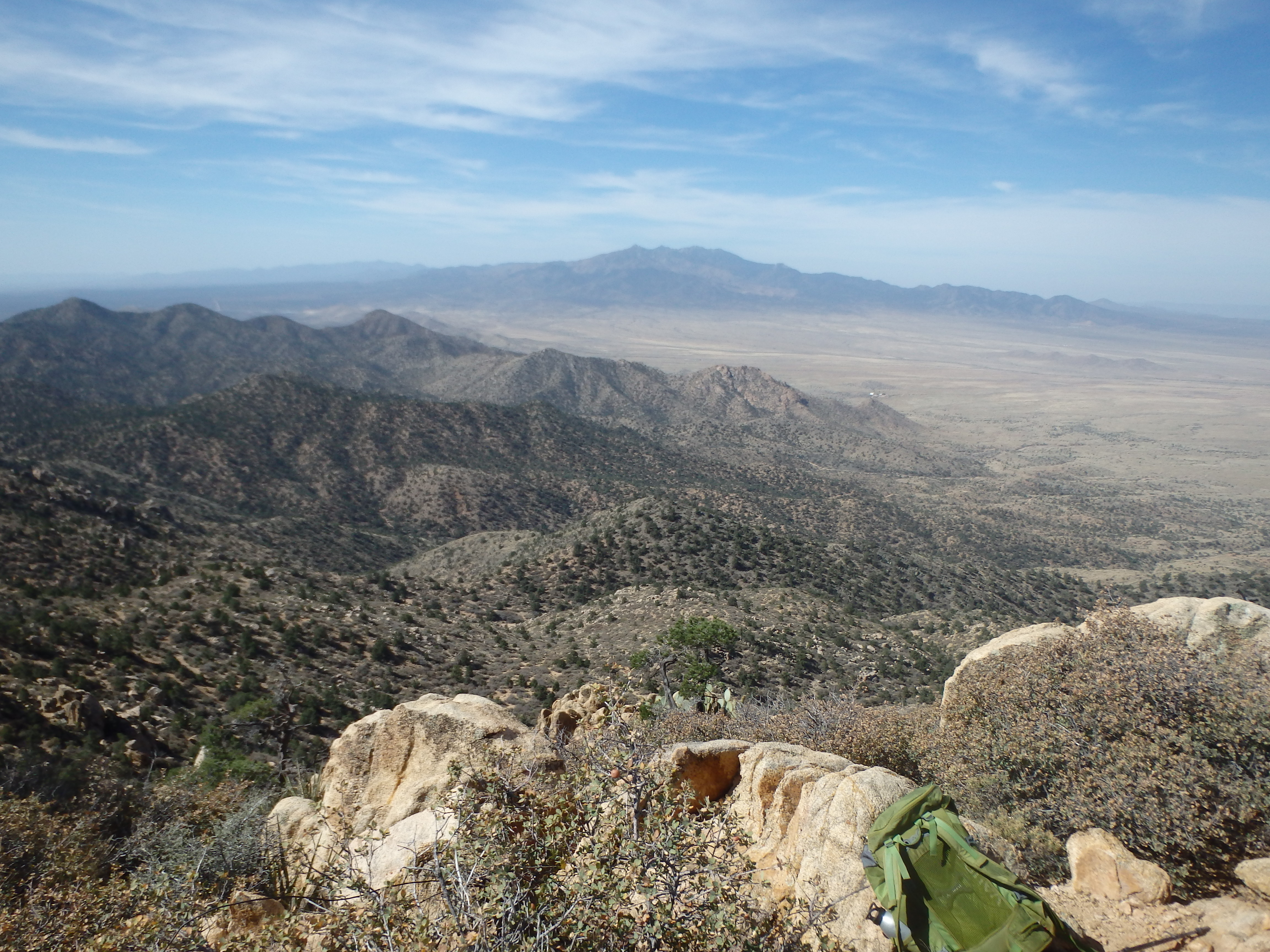
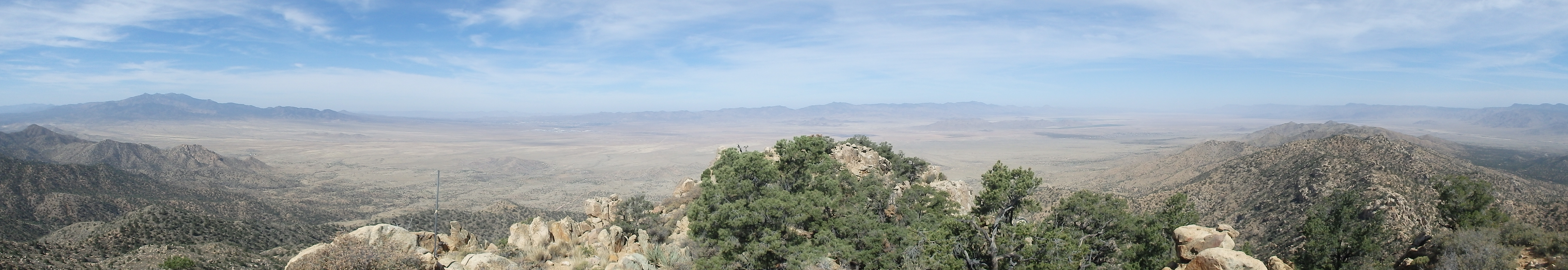
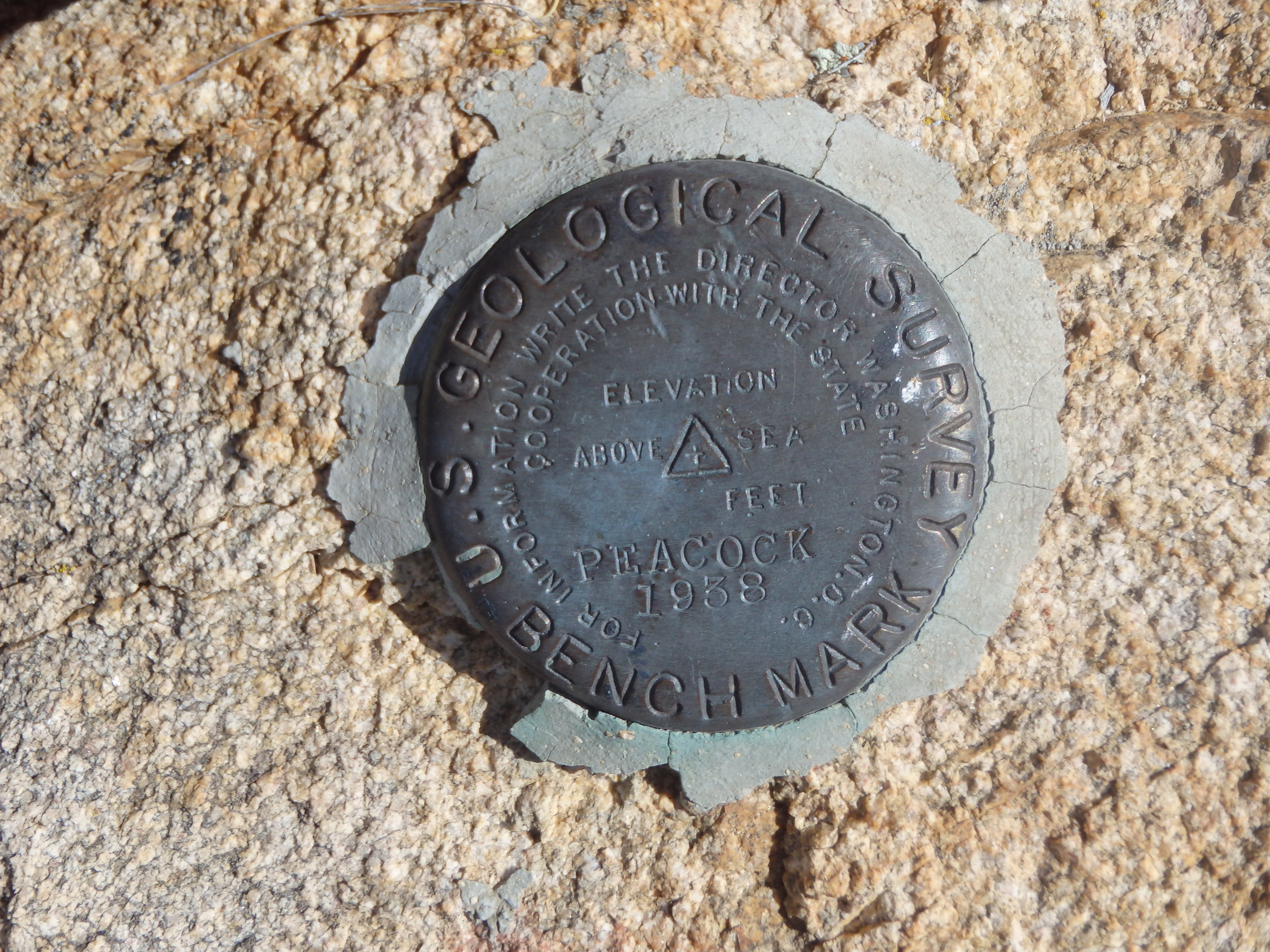
Although the range didn’t look like much from below, there was a surprising amount of granite, and I took the opportunity to scramble through the pockets of rock along the ridge whenever possible. Nearing the summit, the ridge narrowed further, and I scrambled along a high rock fin to the final shallow col and up to the summit. From the top, I could see most of my objectives for the rest of the weekend- Mount Tipton across the valley to the northwest, Grand Wash Cliffs to the north, and Hualapai Peak to the south. The summit register was one of the older ones I’ve come across in the state, dating back to 1988! I needed to at least get Tipton in the afternoon, and held out hope for bagging Mount Perkins after, so I did not linger on the summit long.
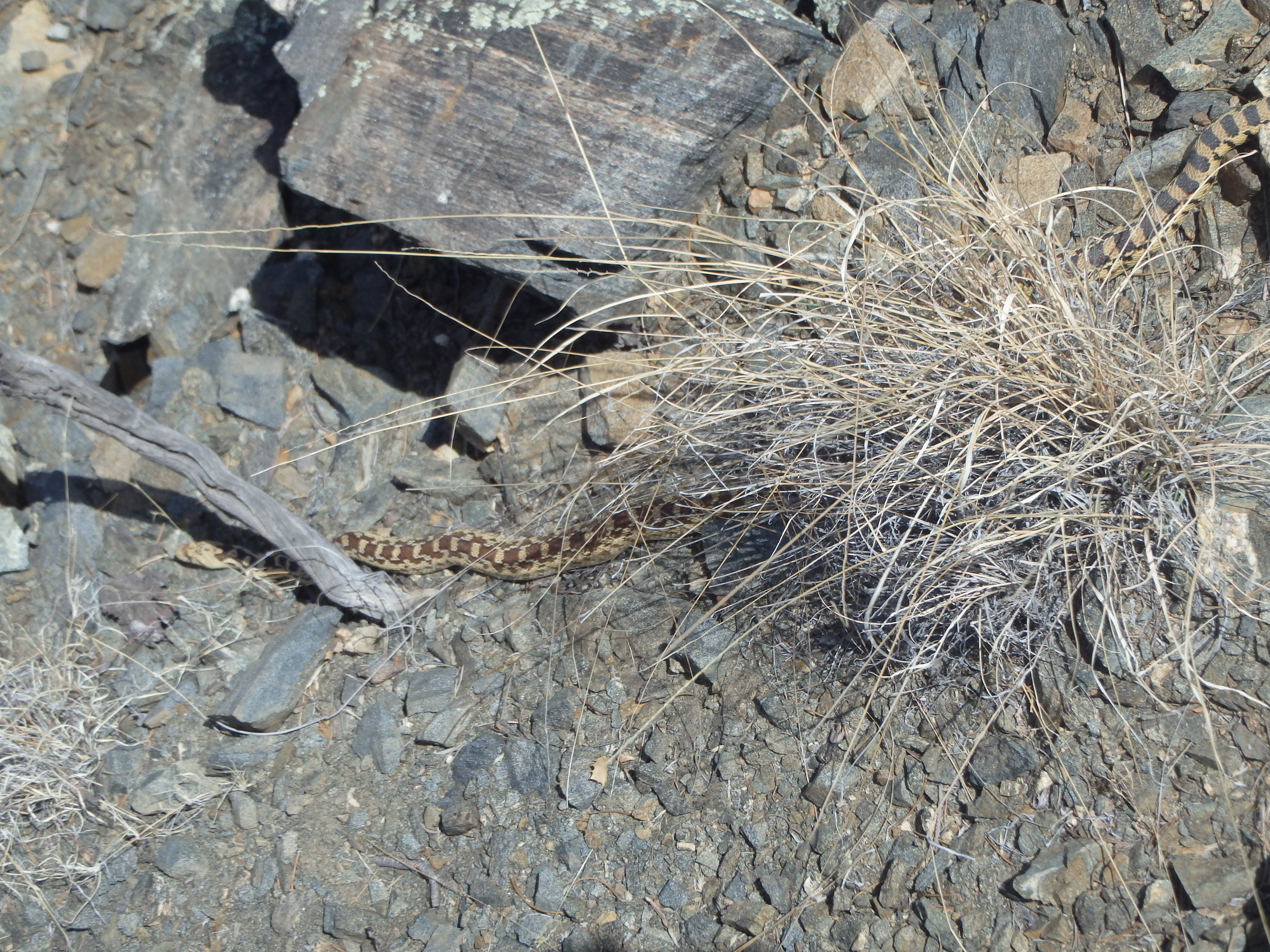
The descent was quite fast, and I was able to utilize sandy slopes to plunge step past the various rock outcroppings I had scrambled up on the ascent. Near the final bump on the ridge, I almost stepped on a huge snake, one of the first I had seen that spring. It wasn’t a rattler and barely seemed to notice me and continued sunning itself while I grabbed a picture and continued my descent.
I tried to get cute by traversing around the final bump and paid for it with some scrubby bushwacking, but reached the car shortly after, the entire hike only taking around 2 hours. Plenty of time for Tipton, and maybe even Perkins! I hopped in the car and took off back down the road into Kingman and north on Highway 93 for my attempt on Mount Tipton that afternoon.