
La Barge Mountain 5,077′
Total Time: 5:30
Distance: 9.8
Elevation Gain: 2,900′
Crux: Class 2-3
Trailhead: Woodbury TH, no services, high clearance


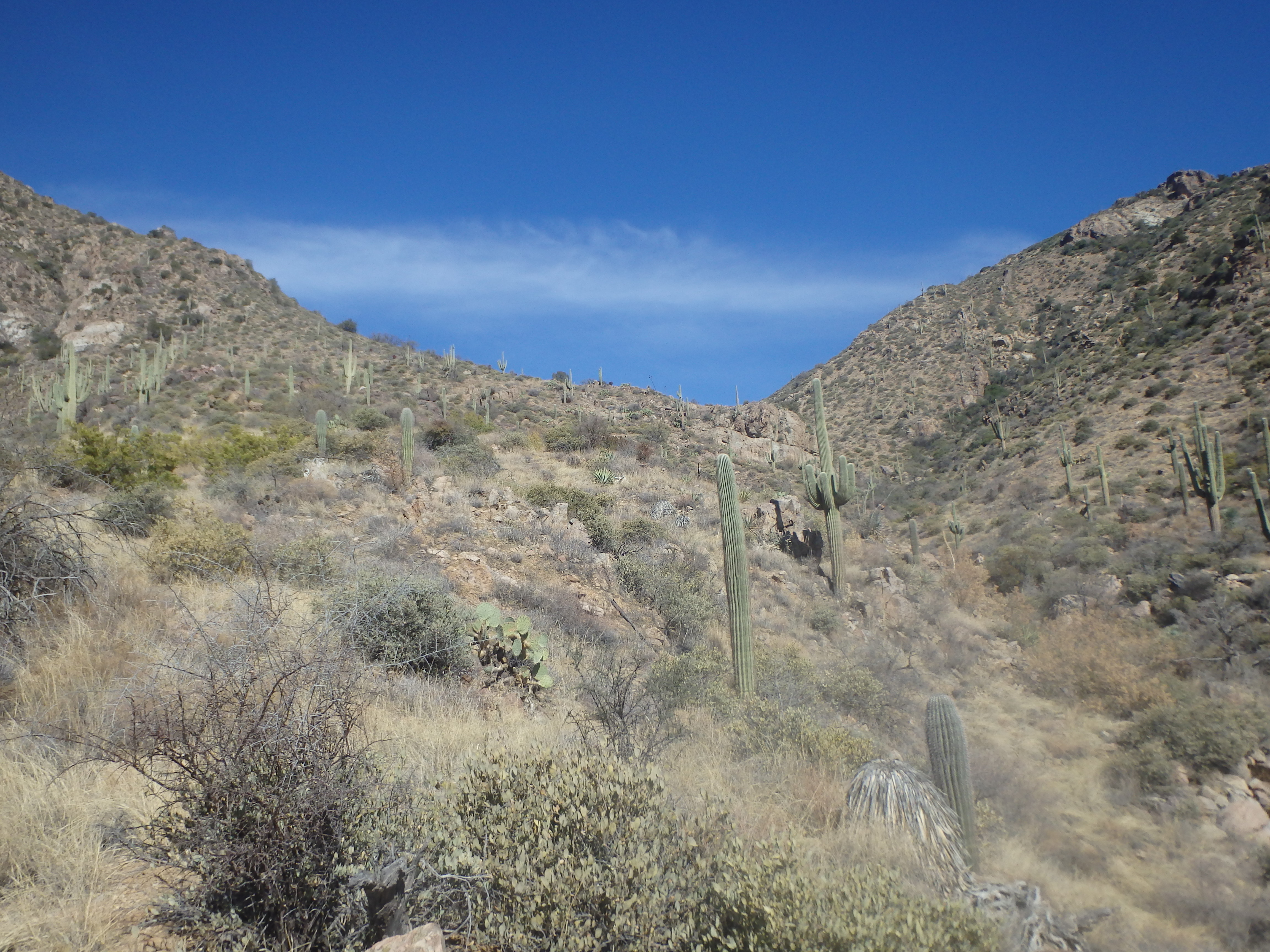
The central Superstitions have been a bit of an unknown for me, with most of my efforts concentrated in the western part of the range. I’ve always thought of the Western Supe’s to be a bit more rugged with the dramatic spires and cliff faces, and have considered the central and eastern Superstitions to be more remote but more tame, featuring the uninspiringly named range highpoint of ‘Mound Mountain’. La Barge Mountain was one of the few central/eastern summits that always seemed to grabbed my attention, fairly isolated from other summits and with steep summit cliffs to the south. It seemed like a good target to explore this part of the range, and also give me a gauge as to the road conditions heading towards the Rogers Trough TH. Leaving home, I reached the edge of the Superstitions in my usual ~1 hour, then hooked north after driving a bit further east on the 60. I soon found myself working down a decent dirt road, with many pull offs for target shooters. I was briefly stuck behind a conga line of Jeeps, but they pulled off directly into a wash just as the terrain was starting to get interesting. As I worked deeper into the range, I began to appreciate how this area was just as rugged as the Western Supes, with plenty of spires and cliffs hidden among the topo lines. Even a peak as plain sounds as Byous Butte was actually an enormous monolith towering dramatically over the canyon. Once again, the Superstitions continue to surprise me…. The road became rougher as I drove deeper into the range, nearly 15 miles to bring me to the Woodbury Trailhead, with only one other car parked when I arrived.
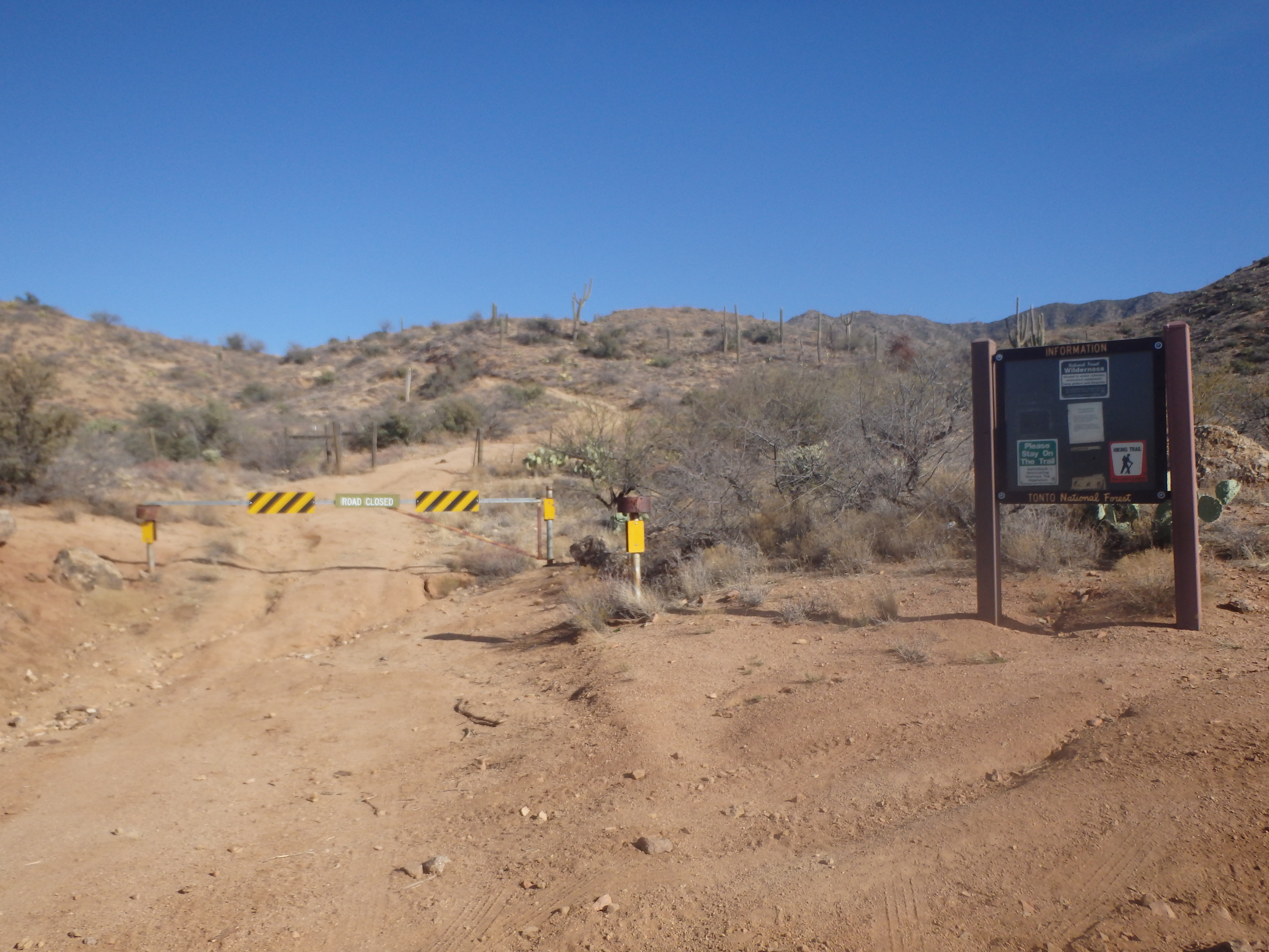
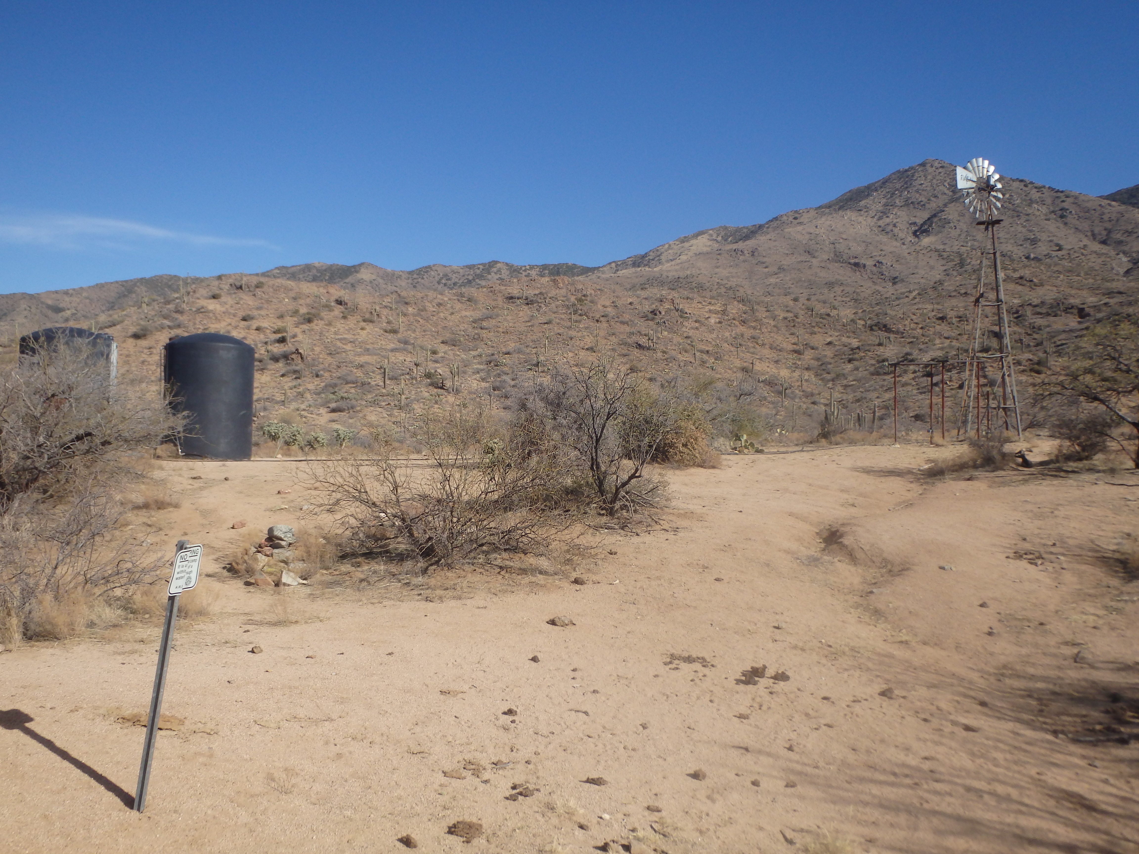
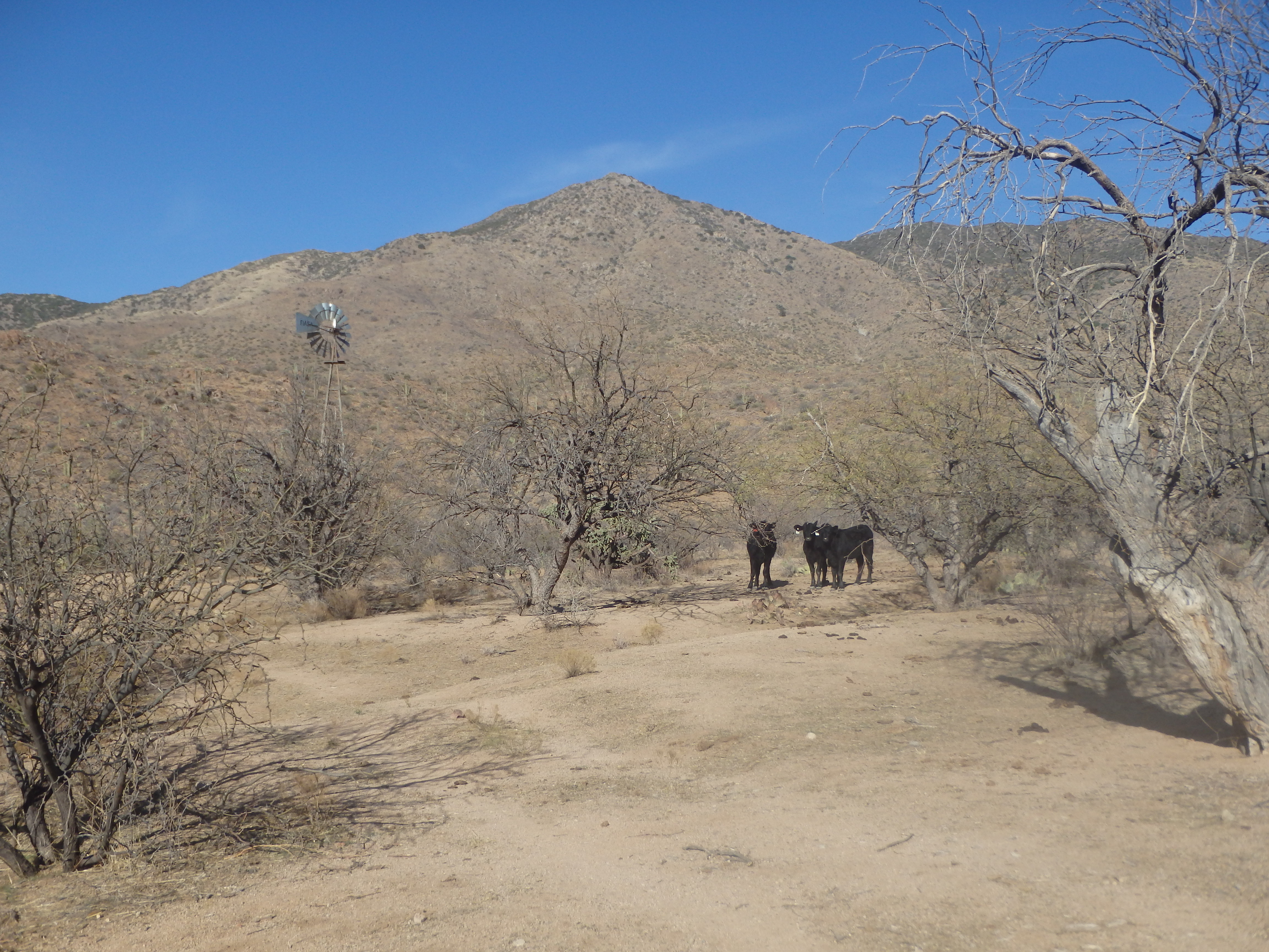
The trail starts off down a continuation of the road, which was gated shut at the trailhead. Cresting over a small rise, La Barge Mountain was immediately in view looking fairly far for the planned 10 mile hike. The trail gently dropped into a canyon reaching the Woodbury Ranch area. Plenty of cow patties signaled the ranch was still quite active, and I continued north, the road quickly transitioning to single track trail.
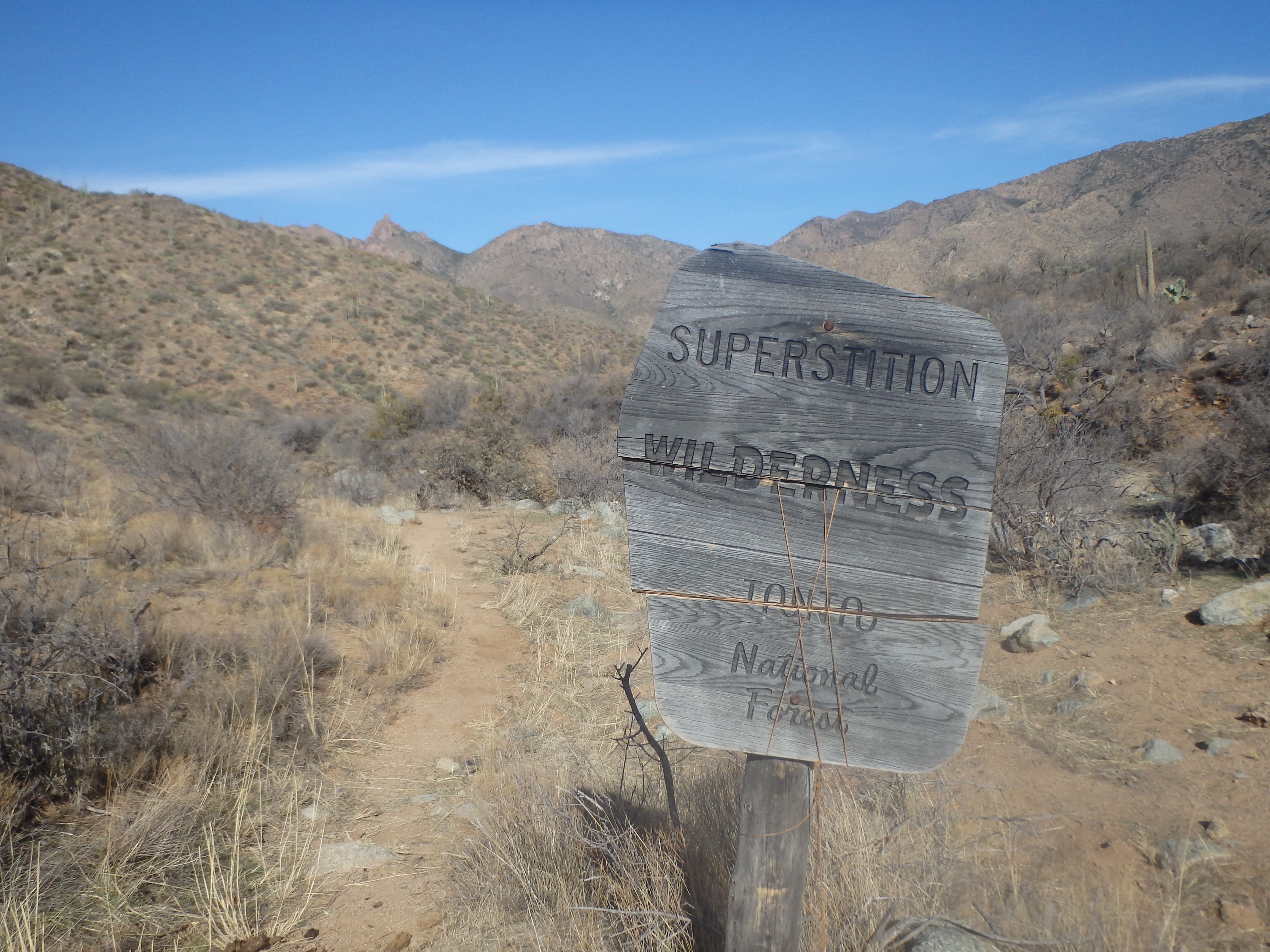
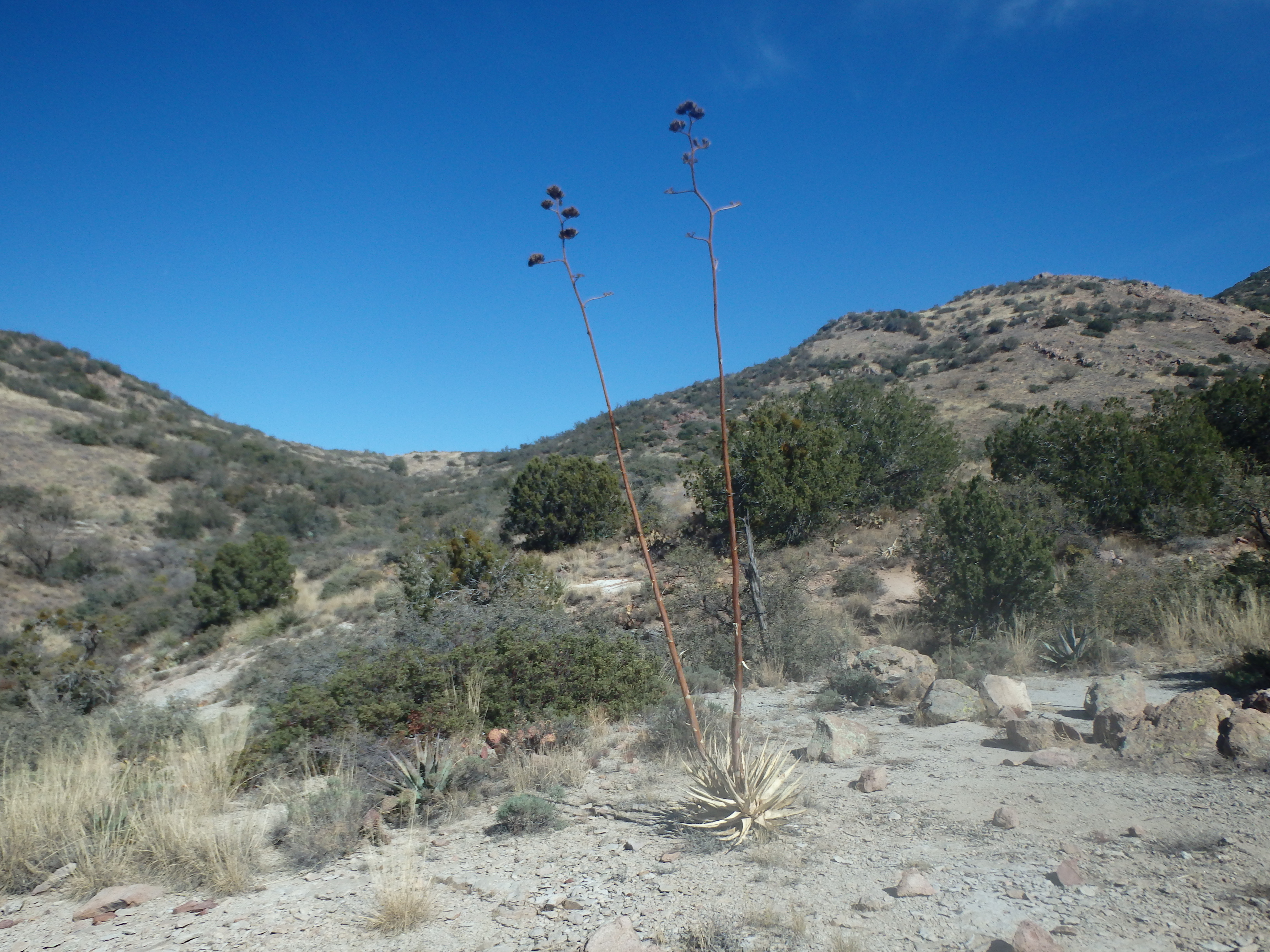
Being less traveled the trail was a bit over grown in spots- never difficult to follow, but with a bit of brush spilling over the sides. Shortly past the ranch I reached the wilderness boundary, marked by an old rotting wilderness sign held together with a hiker’s shoelace. If that doesn’t epitomize the Superstitions, I don’t know what does.
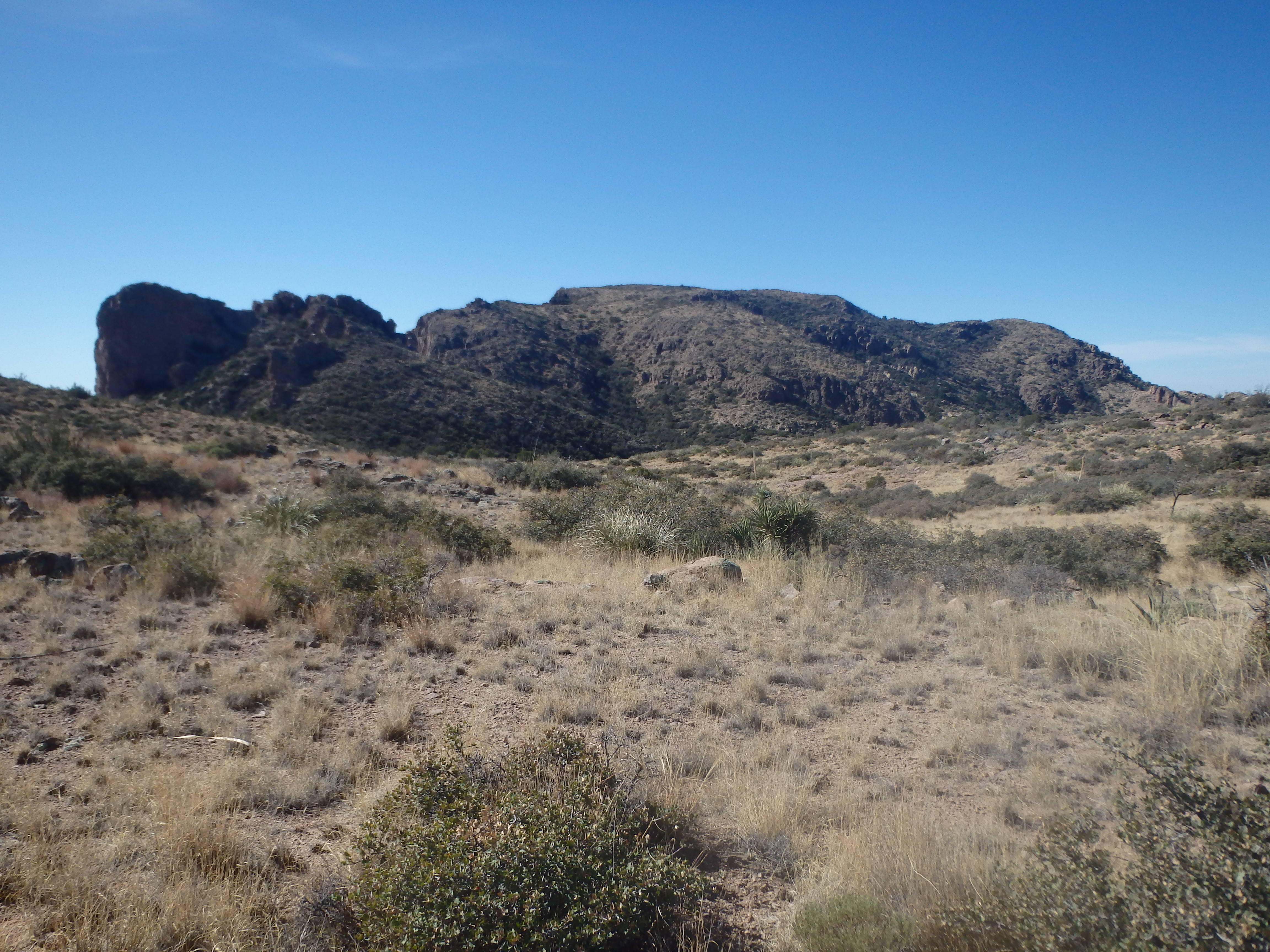
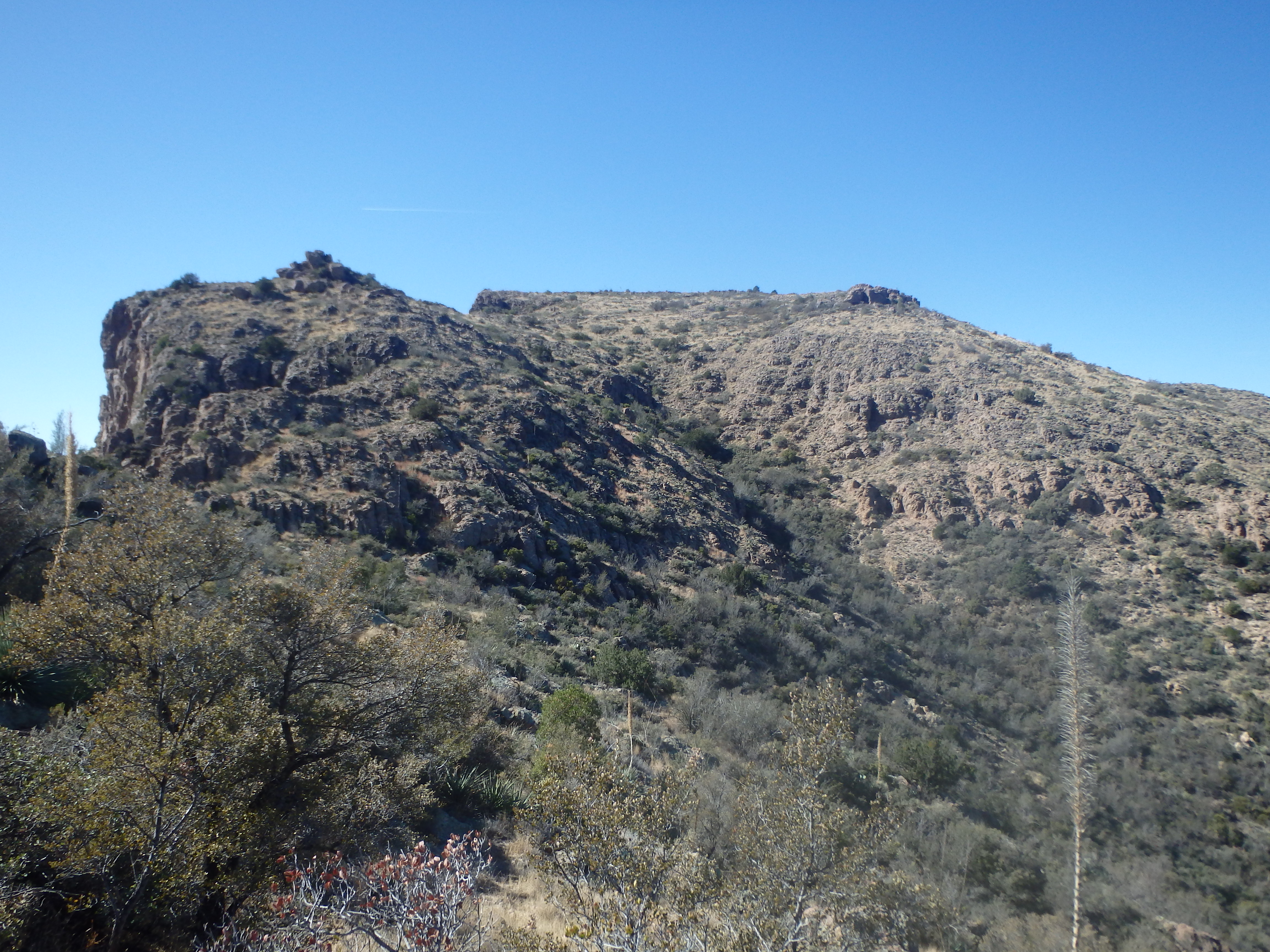
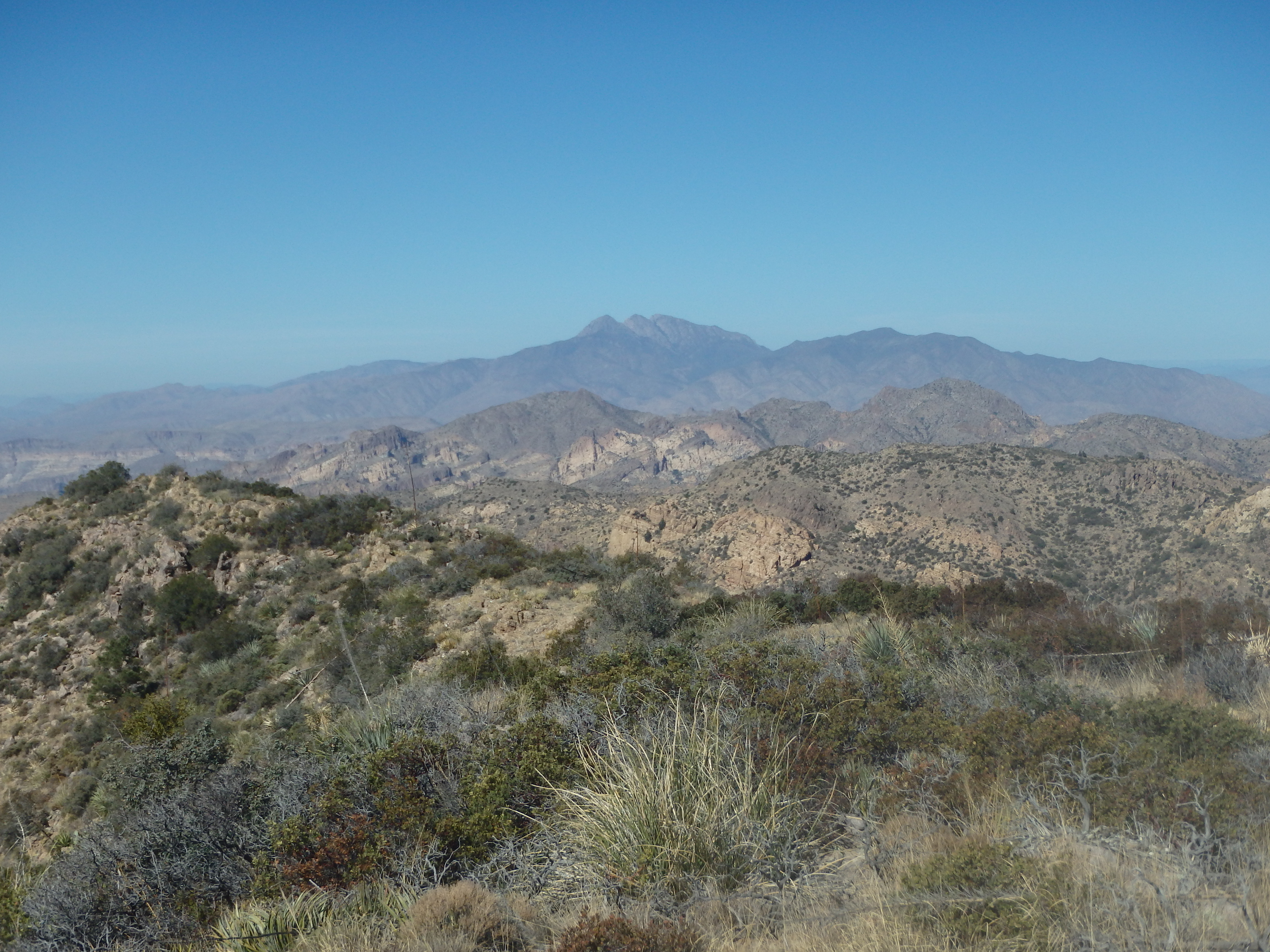
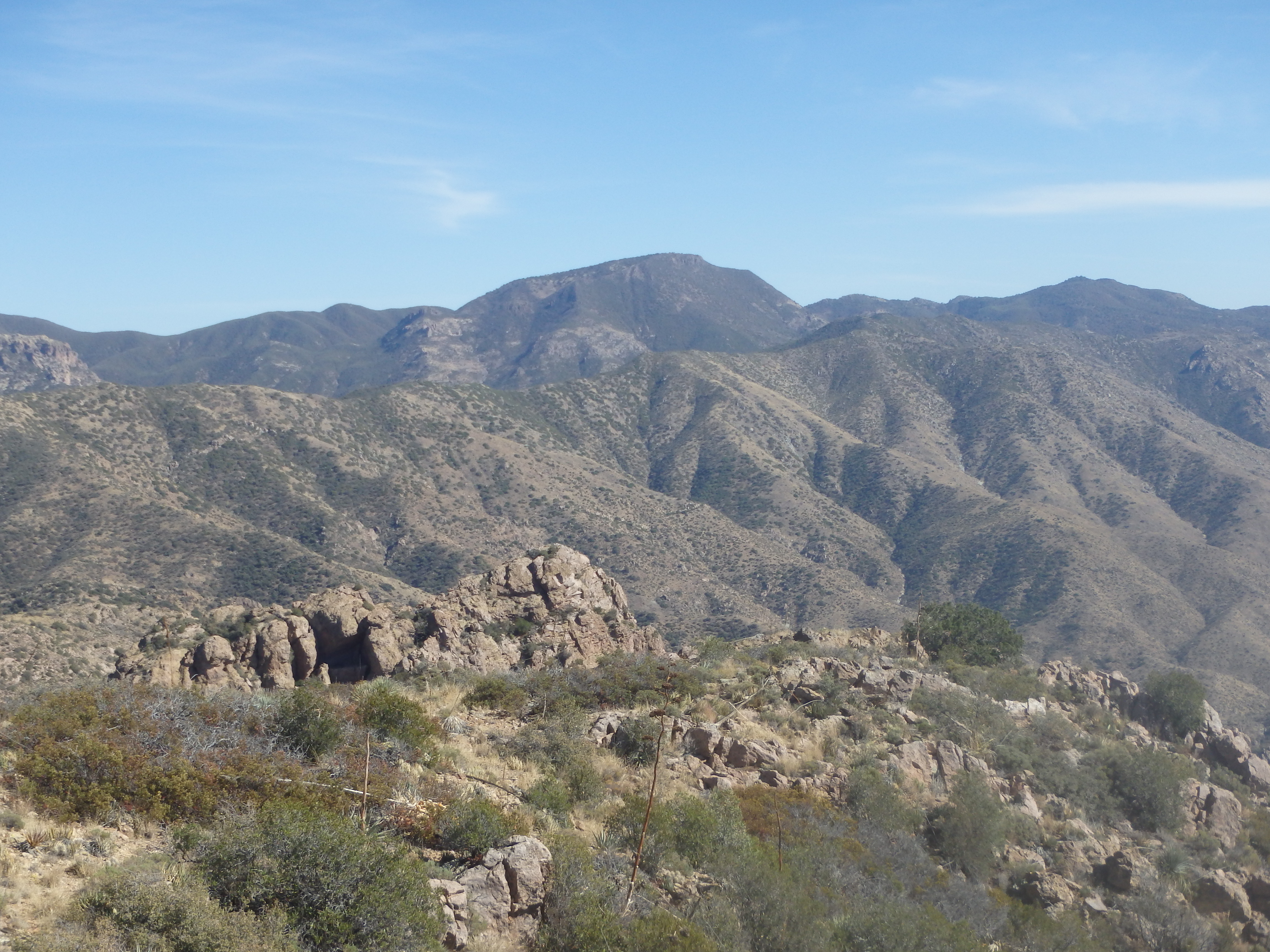
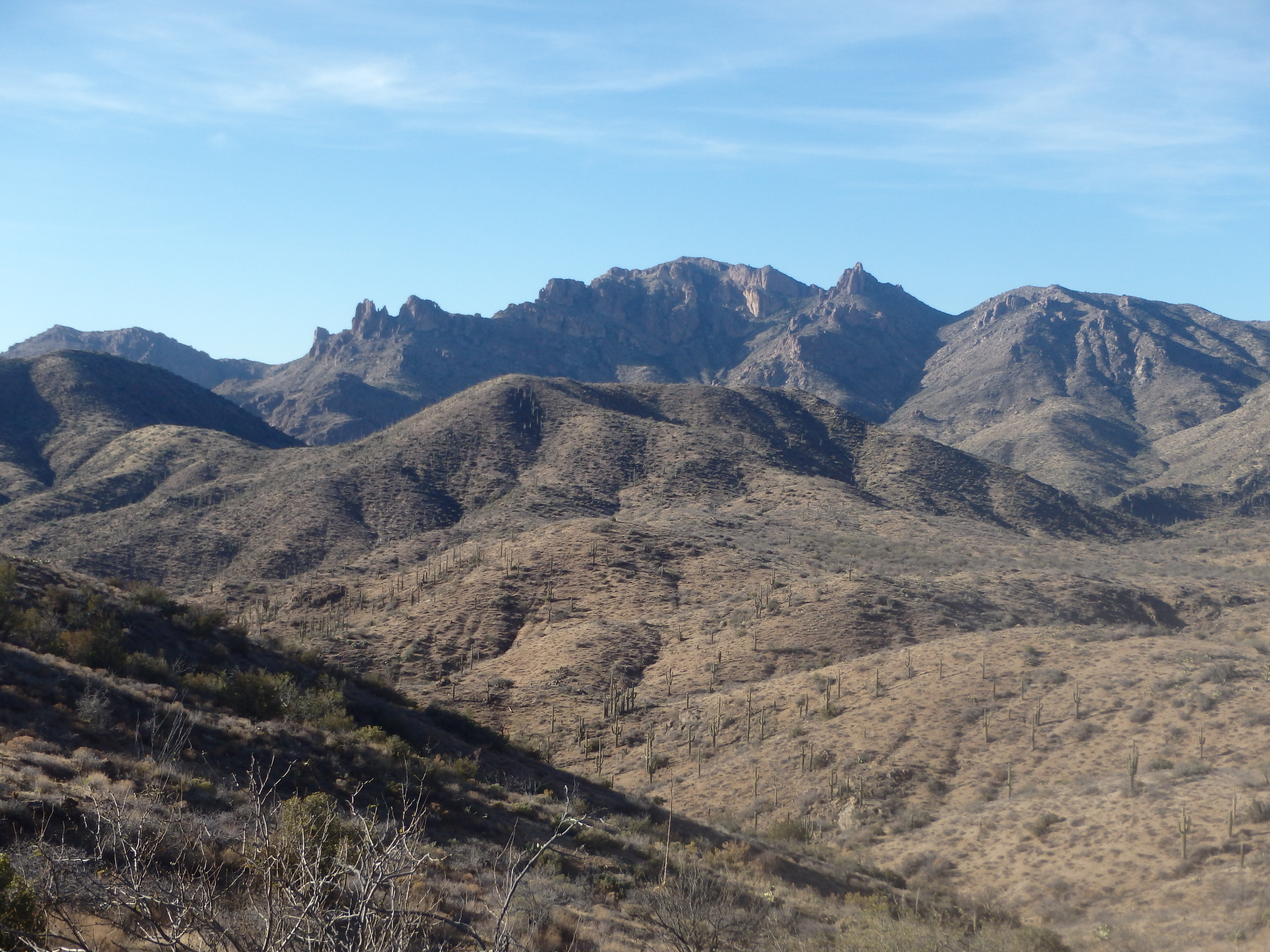
The trail slowly crested a rise then briefly dropped across Randolph Canyon before beginning a steady ascent to Tortilla Pass. Higher up, the trail began to switch back up a shallow ridge in the adjacent canyon, and I bumped into a pair of hikers just before reaching the pass. They were the owners of the other car in the lot and were finishing a two day loop, on the way back to their car. They would be the only people I saw all day. At Tortilla Pass I found a small juniper to take a break under, and look southwest towards the summit plateau. I had heard of others climbing La Barge in trip reports on HikeAZ, so I figured I could pick up a use trail from the pass that would take me to the summit.
This started off fine, with a thin trail following a barbed wire fence along the ridgeline. In general, sticking near the fence offered the least brushy path and I crested over the first false summit to see the high summit plateau and a number of pesky dips and notches to negotiate between myself and the highpoint. The trail fizzled out along at this first false summit and I followed deer trails steeply down to the first notch where the wire fence ended.
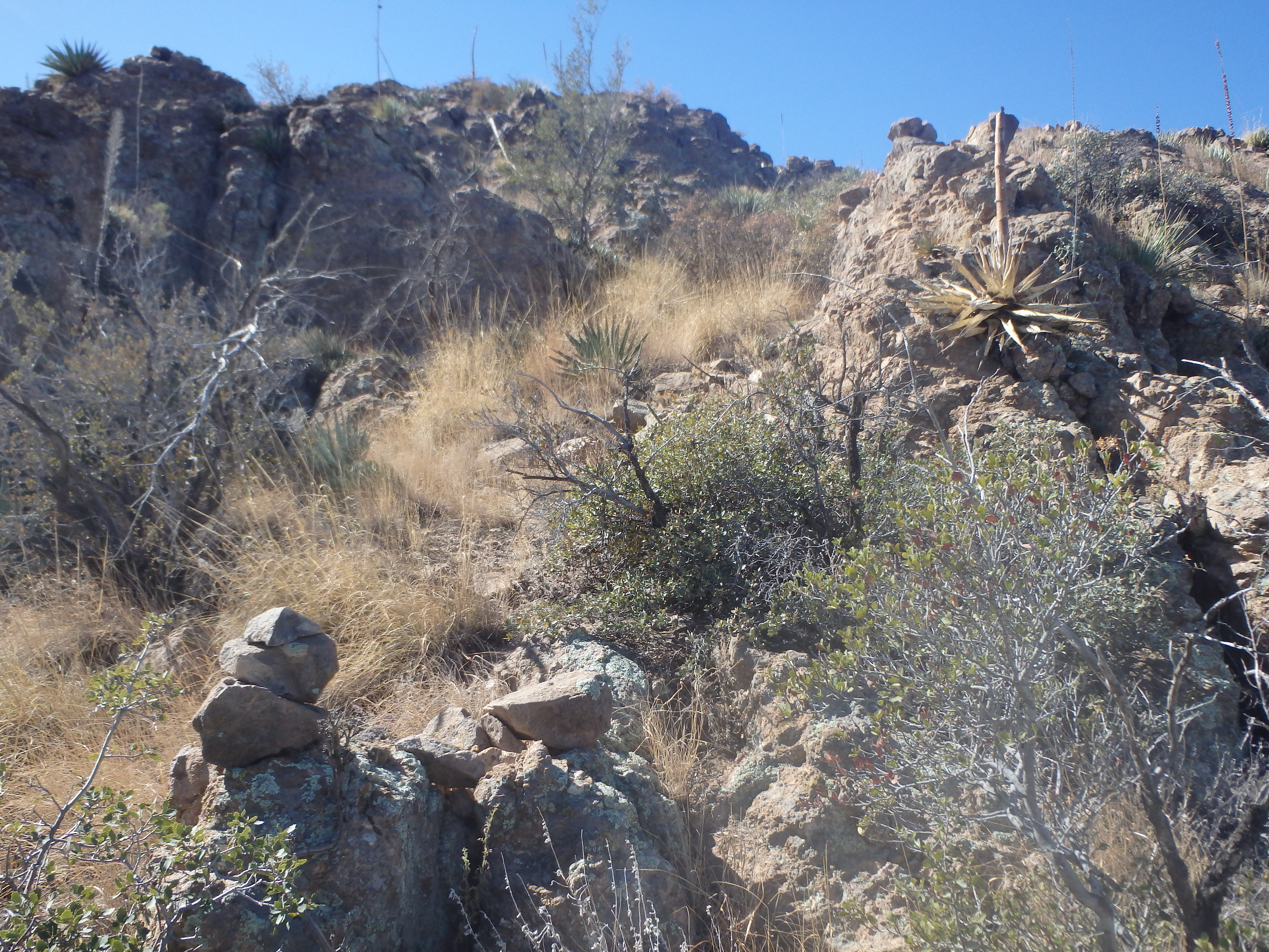
I continued along the use trails up the other side, traversing a bit across the northern slopes to stay at the level of the next notch. There were almost no cairns on the route, something I appreciated, as I feel they rarely offer any real value, and take away from the adventurous spirit of the climb. IMO, if you’re that deep in the Superstitions and are relying on cairns to route find, you’re probably going to get in over your head. At the second notch, some class 2-3 slabs and ledges made for a more enjoyable options then continuing on the brushy traverse, and the tedium changed to pure enjoyment very quickly.
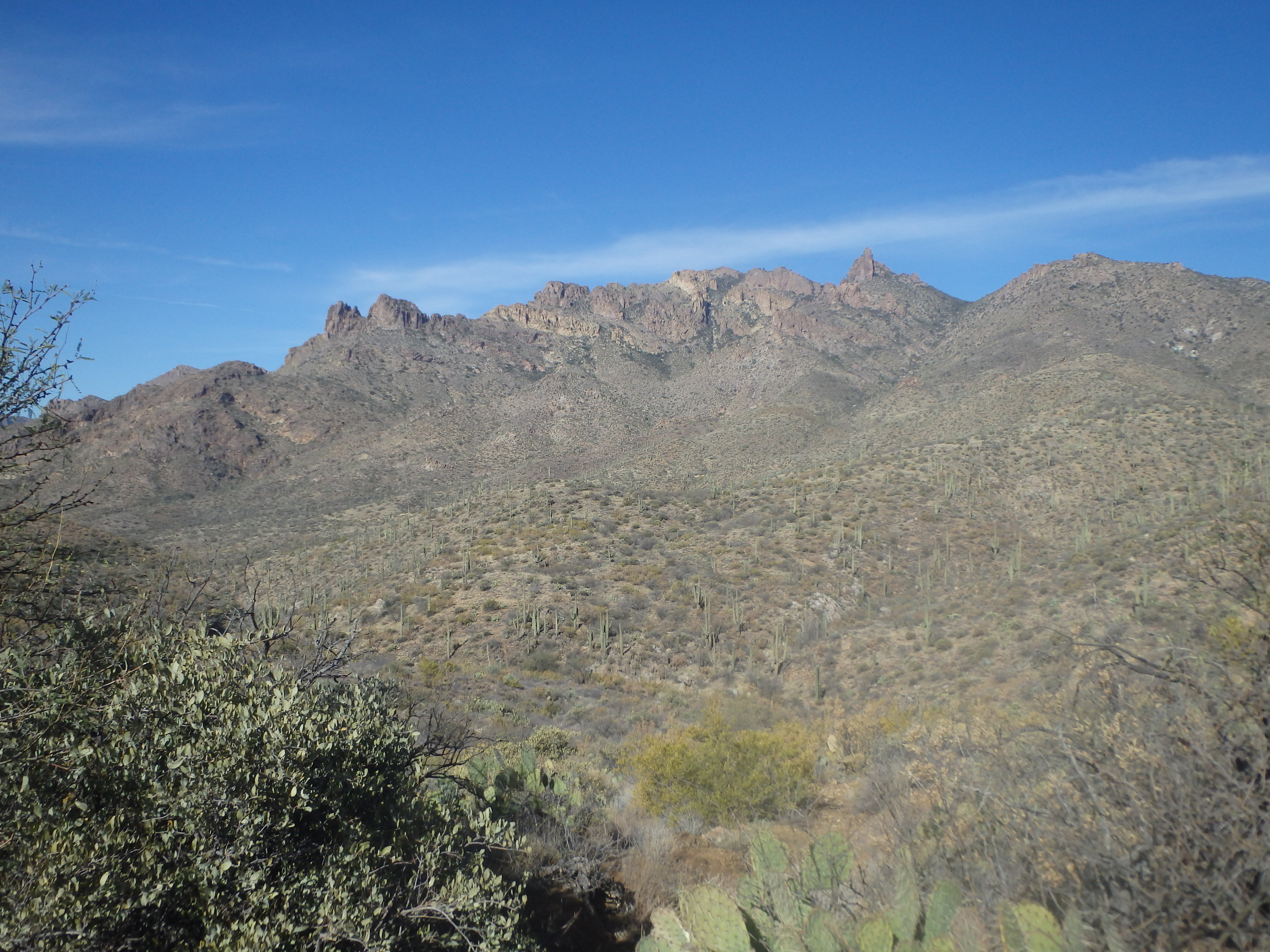
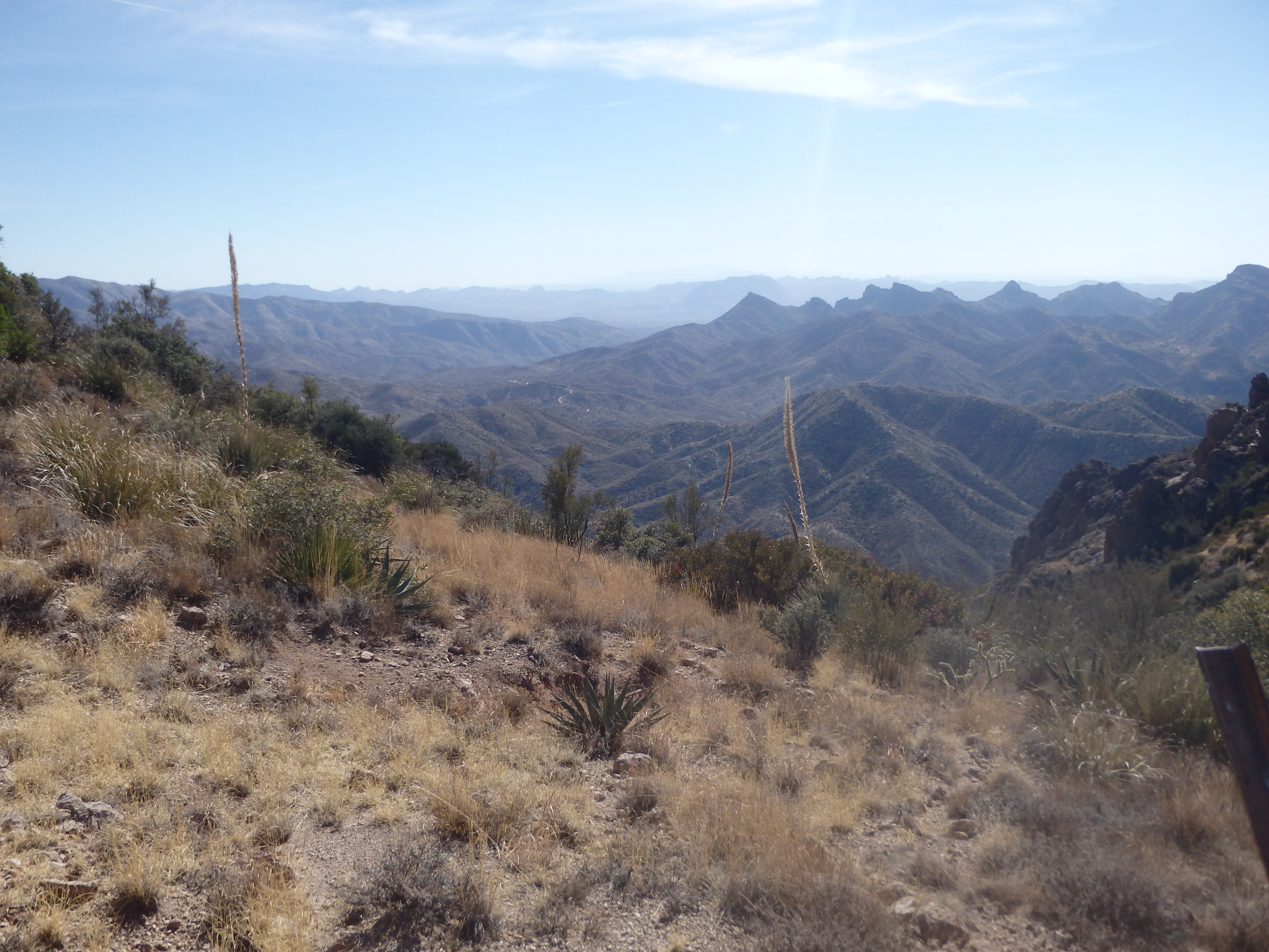
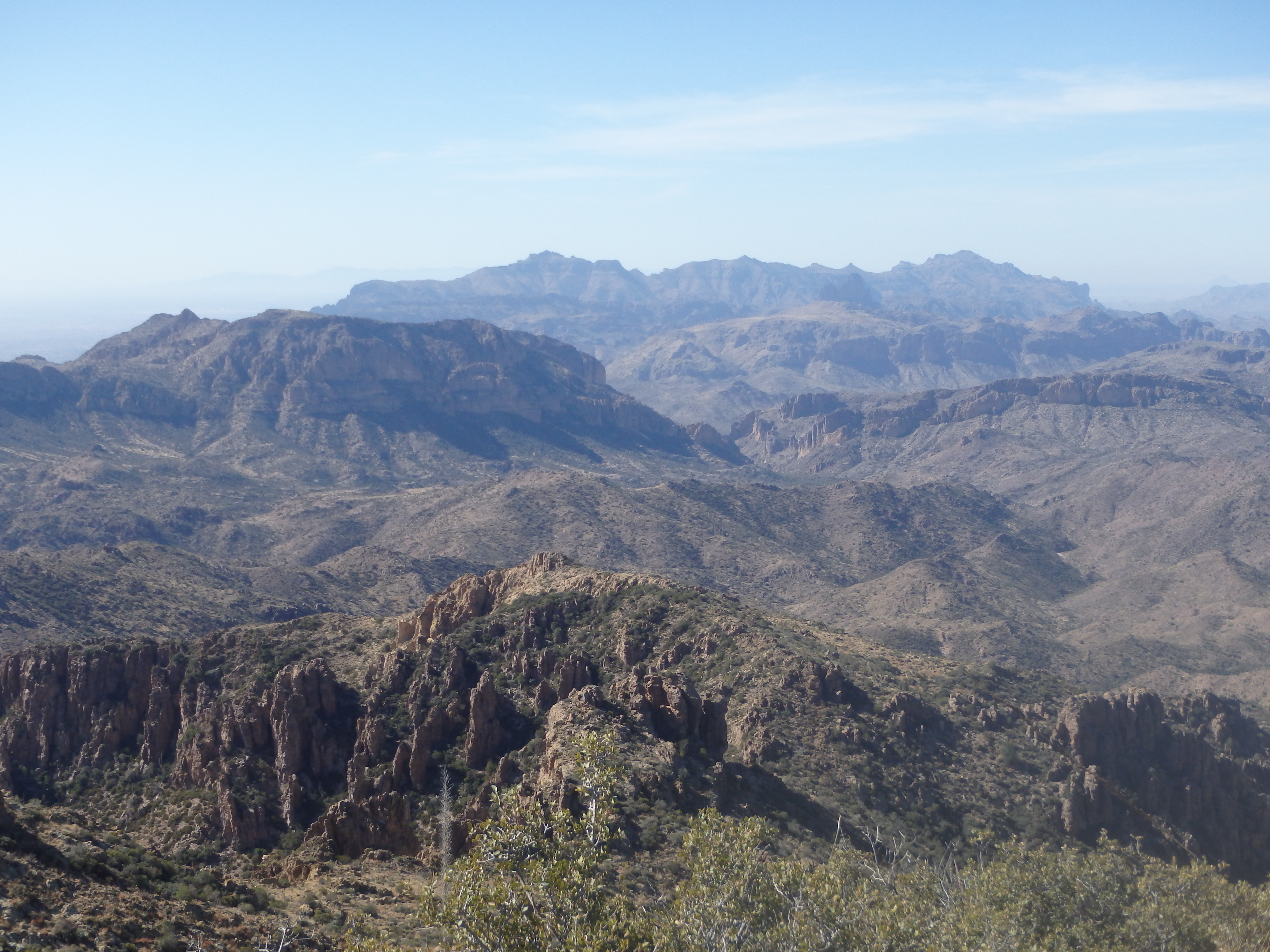
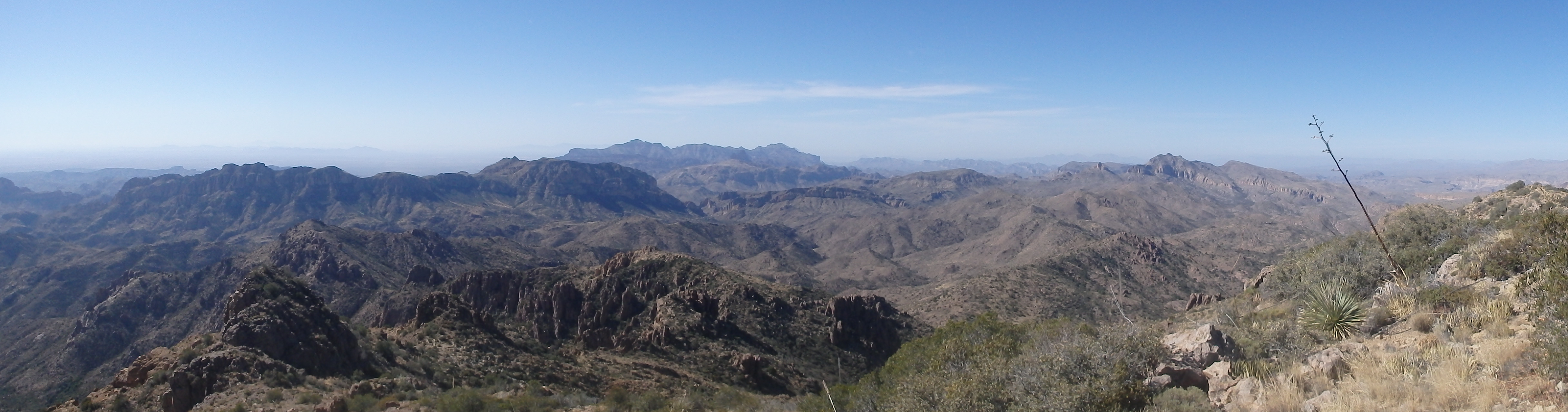
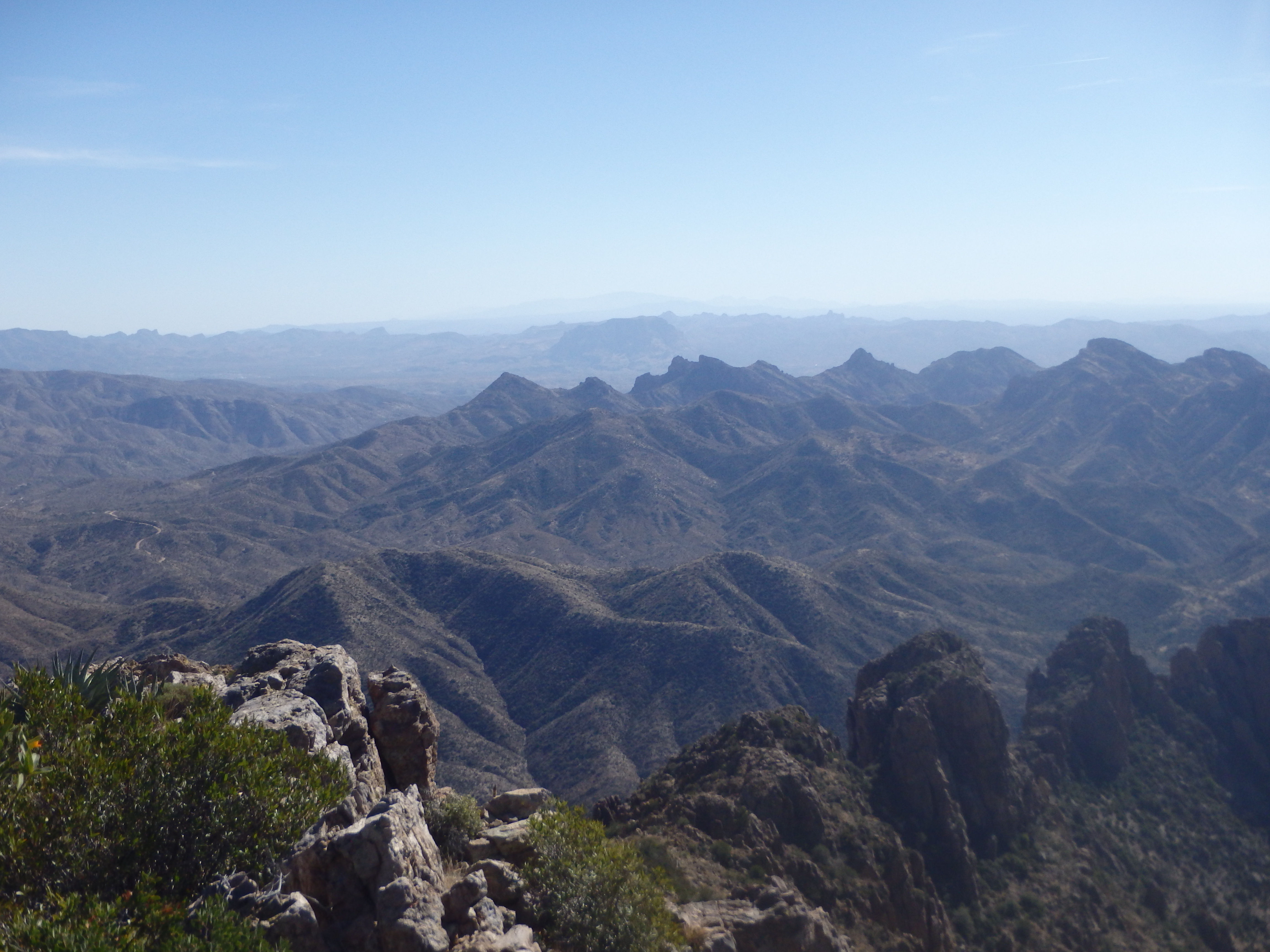
I was able to follow this line until about 100′ below the summit, then tromped through a bit of manzanita and other sharp brush the remaining distance to the top. A small cairn marked the high point and I dug out the summit register, surprised to find it sees on average less than one ascent per year, the last person bagging the peak over one year prior. The views from the top were impressive. Nearing in the center of the range, I could see nearly every Superstition summit I’ve ever climbed to the west, including Superstition Peak, the Flatiron, Fremont Peak and Weavers Needle. Picketpost Mountain stood all alone to the south, with Four Peaks dominating the view to the north. The highest peaks in the range blocked much of the view to the east, with White Mountain and Iron Mountain making up the skyline.
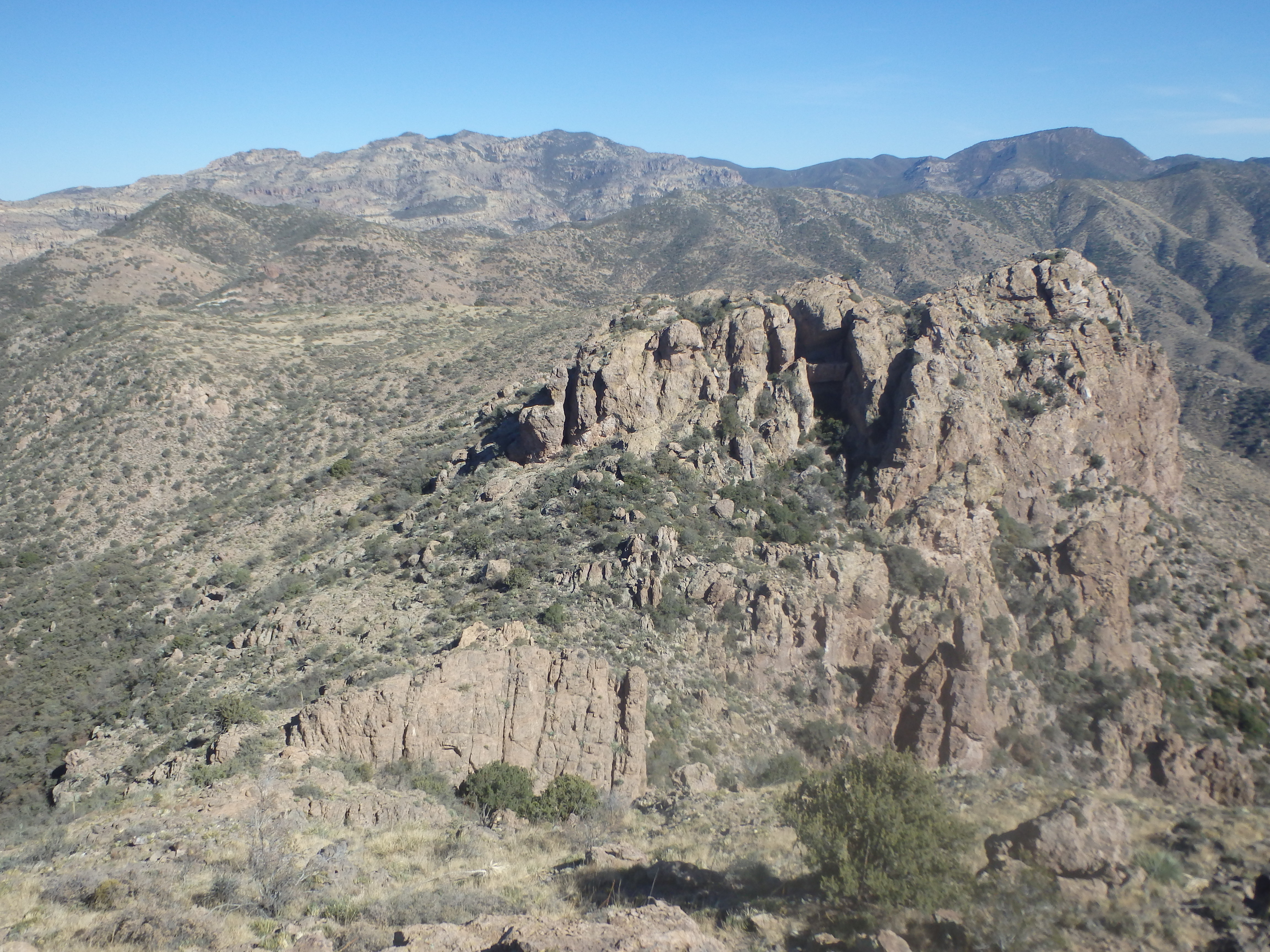
After a short lunch, I started back down towards Tortilla Pass, spotting an interesting cave on the ridgeline that had been behind me during the descent. It took about 45 minutes to reach the pass where I took one final break before heading down the trail back to the trailhead. I packed up a sad amount of trash from a campsite near the pass, then started making my way down the canyon. I hadn’t appreciated it on the ascent, but the better afternoon lighting allowed me to spot at least 5 different natural arches in the rocks near the summit ridgeline. When I made it back to Woodbury Ranch, I spooked a group of cows that had made their way back into the area, drinking from a very dirty trough.
Through the ranch I was back on the dirt road, and reached my car in another 10 minutes. It had been a great day exploring the central Superstitions, and I was already mentally planning some future trips to the area for Mound Mountain, and perhaps some climbing on Byous Butte….